The best running trails around San Pablo
4.3
(12)
1,052
runners
55
runs
Jogging around San Pablo offers diverse outdoor opportunities within the East Bay of the San Francisco Bay Area. The region features an extensive network of parks and trails, including the scenic San Pablo Bay Trail and Wildcat Canyon Regional Park. Terrain varies from flat, well-maintained shoreline paths to more undulating routes through canyons and local parks. This landscape provides a range of running experiences for different preferences and fitness levels.
Best jogging routes around San Pablo
- The most popular jogging route is Point Pinole Bay View Loop, a 4.8 miles (7.8 km) trail that takes about 49 minutes to complete. This moderate route offers expansive views of San Pablo Bay.
- Another top favourite among local runners is Running loop from Point Pinole Regional Shoreline, a moderate 6.5 miles (10.5 km) path. This route provides a longer experience along the shoreline, often completed in about 1 hour 6 minutes.
- Local runners also love the San Pablo Bay View – Bay View Trail 🌊 Lookout loop from Point Pinole Regional Shoreline, a 3.9 miles (6.2 km) trail leading through the Point Pinole Regional Shoreline, often completed in about 39 minutes.
- Jogging around San Pablo is defined by bay views, shoreline trails, and regional parks, offering a mix of easy, moderate, and difficult routes. The network provides options for different ability levels, from short, flat runs to longer, more challenging paths.
- The routes in San Pablo are highly rated by the komoot community with an average score of 4.6 stars from over 20 reviews. More than 900 runners have used komoot to explore San Pablo's varied terrain.
Last updated: May 13, 2026
26
runners
7.77km
00:49
40m
40m
Jog the Point Pinole Bay View Loop, a moderate 4.8-mile route with 116 feet of gain, offering bay views and historical insights.
28
runners
Moderate run. Good fitness required. Mostly paved surfaces. Suitable for all skill levels.

Sign up for free
19
runners
Moderate run. Good fitness required. Mostly paved surfaces. Suitable for all skill levels.
18
runners
7.94km
01:00
160m
160m
Moderate run. Good fitness required. Mostly paved surfaces. Suitable for all skill levels.
9
runners
Moderate run. Good fitness required. Mostly paved surfaces. Suitable for all skill levels.
Get access to more routes and recommendations from other explorers.
Sign up for free
Already have an account?
Our route recommendations are based on thousands of hikes, rides, and runs completed by other people on komoot.
Start today with a free account
Your next adventure awaits.
Login or Signup

Tips from the Community

Concrete fishing pier with excellent views across the bay. It juts out into the Carquinez Strait, with a fish cleaning station at the halfway point.
0
0

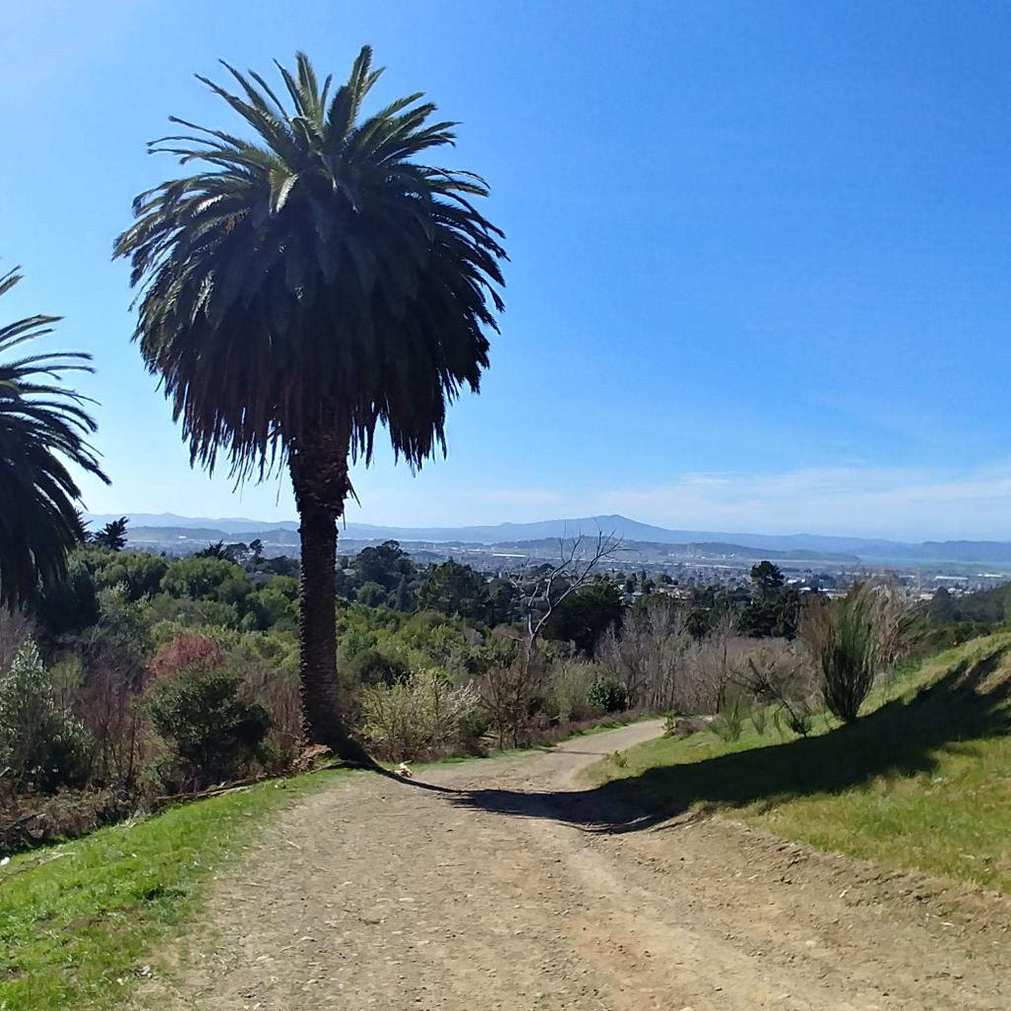
Wildcat Creek Trail is a packed-dirt trail that is about four miles long. One end of the trail is at Jewel Lake, near the Environmental Education Center, and the other end of the trail is at the Alvarado Staging Area. This trail offers great views of Wildcat Creek and has some picnic tables you could stop at along the side of the trail.
0
0

If you're coming from North Point Isabel, when you reach the Richmond Bay & San Francisco Bay Trails Junction, you have two options. Take a right to hop onto the Richmond Bay Trail. If you are coming from the Richmond Bay Trail, you can turn to join the San Francisco Bay Trail. This will lead you to McLaughlin Eastshore State Park and further down to Berkeley.
1
0

This little park has picnic tables, BBQ pits, some benches and a big lawn that's perfect for looking out over Brooks Island and San Francisco Bay. It's also a popular parking area for kayakers and stand-up paddleboarders heading out into the water.
0
0

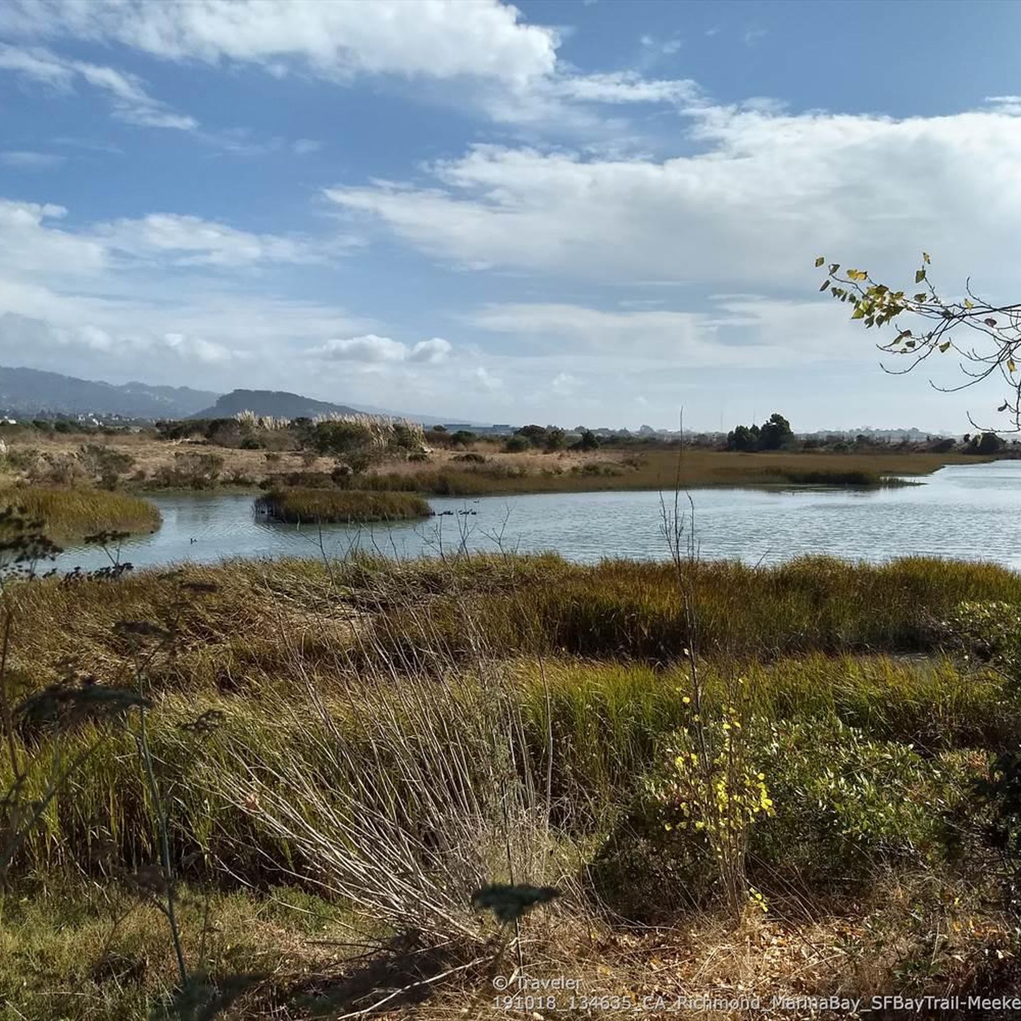
Meeker Slough Bike Trail, which is part of the San Francisco Bay Trail connects to the Richmond Bay Trail and Stege Marsh. This is a great, traffic-free way to connect some popular, scenic trails in the area.
0
0
Excellent paved bike / multi-use trail along the water, part of the - eternally unfinished - San Francisco Bay Trail project
0
1

This spot is one of many fantastic stopping points to grab your camera and take some incredible photos of the beautiful bay.
0
0
Great views of the bay from this usually quiet point jutting out into the water.
0
0
Frequently Asked Questions
How many running routes are available in San Pablo?
There are over 40 dedicated running routes around San Pablo, offering a variety of experiences for different fitness levels. The komoot community has explored these routes over 900 times, providing valuable insights and ratings.
Are there any easy running routes suitable for beginners in San Pablo?
Yes, San Pablo offers several routes suitable for beginners. While most routes are moderate, there are options that are relatively flat and shorter, perfect for those starting out. Look for routes with minimal elevation gain for an easier experience.
What are the typical distances and durations for jogging routes in San Pablo?
Running routes in San Pablo vary in length, with many popular options ranging from 3.9 miles (6.2 km) to 6.5 miles (10.5 km). These typically take between 40 minutes to just over an hour to complete, depending on your pace and the route's difficulty.
Can I find circular running routes in San Pablo?
Yes, many of the running routes in San Pablo are designed as loops, offering a convenient way to start and finish your run at the same point. For example, the Point Pinole Bay View Loop is a popular circular option.
Are there any running trails with scenic viewpoints in San Pablo?
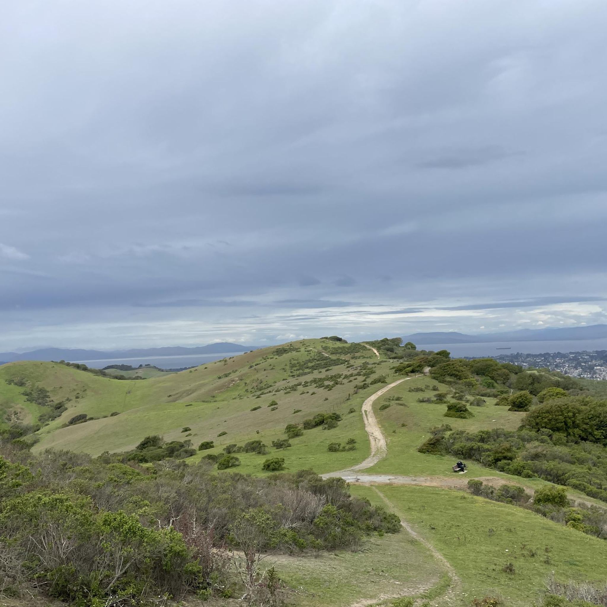
Absolutely! The region is known for its bay views. Trails like those in Wildcat Canyon Regional Park offer breathtaking vistas of the San Francisco Peninsula, Marin County, and the San Francisco Bay. You can also find a 360-degree viewpoint along some routes.
What kind of natural attractions can I see while jogging in San Pablo?
San Pablo's running routes often feature beautiful natural settings. You can explore areas with lakes, such as Lake Anza, or enjoy trails like the Wildcat Creek Trail and the Bay Trail at Eastshore State Park, which offer diverse landscapes and opportunities for birdwatching.
Are there any dog-friendly running trails in San Pablo?
Many parks and trails in the San Pablo area, including sections of the San Pablo Bay Trail and Wildcat Canyon Regional Park, are dog-friendly. However, it's always best to check specific park regulations regarding leash requirements and restricted areas before heading out with your pet.
Which running routes are suitable for families in San Pablo?
For family-friendly runs, consider routes in local community parks like Wanlass Park or Davis Park, which offer walking trails and amenities. The San Pablo Bay Trail also has well-maintained, relatively flat sections that are great for a family outing.
Are there running routes accessible by public transport in San Pablo?
Yes, some running trails in the San Pablo area are accessible via public transport. The broader San Francisco Bay Area has an extensive network, and specific trailheads may be near bus stops or BART stations. It's advisable to check local transit maps for the most convenient access points to your chosen route.
What do other runners enjoy most about jogging in San Pablo?
The running routes in San Pablo are highly rated by the komoot community, with an average score of 4.6 stars from over 20 reviews. Runners often praise the expansive bay views, the variety of shoreline paths, and the well-maintained trails within regional parks, which offer a mix of easy to moderate challenges.
Can I find running routes near the San Pablo Bay Trail?
Yes, the San Pablo Bay Trail is a prominent feature of the area, offering fantastic views and well-maintained paths. Routes like the San Pablo Bay View – Bay View Trail 🌊 Lookout loop from Point Pinole Regional Shoreline directly utilize sections of this scenic trail.
Are there any advanced or challenging running trails in San Pablo?
While many routes are moderate, San Pablo does offer more challenging options, particularly within Wildcat Canyon Regional Park. These trails can feature more significant elevation changes and varied terrain, providing a good workout for experienced runners. There are 7 routes classified as difficult in the area.
What is the best time of year for jogging in San Pablo?
The San Francisco Bay Area, including San Pablo, benefits from a mild climate year-round, making it suitable for jogging in most seasons. Spring and fall often offer the most pleasant temperatures, but even winter runs can be enjoyable, though you should be prepared for potential rain.
Most popular attractions around San Pablo

Get inspired with the komoot mobile app


Explore more
Browse the best Running Trails & Routes in other regions.
