The best road cycling routes around Garden Grove
4.8
(106)
4,677
riders
90
rides
Road cycling around Garden Grove offers a blend of urban routes and accessible connections to regional trails. The area is characterized by its relatively flat terrain, with infrastructure improvements like protected bikeways enhancing accessibility for cyclists. Riders can connect to extensive river trails and coastal paths, providing diverse environments for road cycling. This network allows for exploration of both city parks and natural features further afield.
Best road cycling routes around Garden Grove
- The most popular road cycling route is Orange to Seal Beach via Huntington Beach Trail loop, a 96.7 miles (155.6 km) trail that takes 6 hours 36 minutes to complete. This challenging route connects inland areas to the Pacific coast, offering extensive riding along dedicated paths.
- Another top favourite among local road cyclists is San Gabriel River Trail – Seal Beach loop from Katella-Holder, an easy 21.0 miles (33.9 km) path. This route leads through river parkways to the coast.
- Local road cyclists also love the Santa Ana River Trail – Huntington State Beach loop from Mcfadden-Jackson, a 25.8 miles (41.5 km) trail leading through coastal areas, often completed in about 1 hour 50 minutes.
- Road cycling around Garden Grove is defined by urban bikeways, river trails, and coastal paths. The network offers options for easy, moderate, and difficult routes, catering to various skill levels.
- The routes in Garden Grove are highly rated by the komoot community with an average score of 4.7 stars from over 100 reviews. More than 4,300 road cyclists have used komoot to explore Garden Grove's varied terrain.
Last updated: July 10, 2026
1
riders
156km
06:36
890m
890m
The Orange to Seal Beach via Huntington Beach Trail loop offers road cyclists a diverse and demanding ride through Southern California's varied landscapes. You'll experience the expansive coastal views along the Pacific Ocean, especially on the well-paved Huntington Beach Trail, before venturing onto river trails and urban sections. Keep an eye out for the historic Water Tower and enjoy the backdrop of the distant San Gabriel Mountains as you navigate this extensive route.
This difficult road cycling adventure covers 96.7 miles (155.6 km) with a significant 2911 feet (887 metres) of elevation gain, typically taking around 6 hours and 36 minutes. While parts are flat, the overall loop includes unpaved and challenging segments, requiring good to very good fitness. Be aware that the Huntington Beach Trail can be crowded on weekends and may have sandy patches; amenities like restrooms and water are available along the beach sections.
Recognized as one of the most popular road cycling routes in the Orange area, this loop connects key locations like Huntington State Beach and Bolsa Chica State Beach. It also links to the Santa Ana River Trail, allowing for extended inland rides. The varied terrain and scenic highlights make it a standout option for those seeking a long-distance challenge in Orange County.
4.5
(13)
457
riders
Moderate road ride. Good fitness required. Mostly well-paved surfaces and easy to ride.

Sign up for free
4.0
(1)
93
riders
Moderate road ride. Good fitness required. Mostly well-paved surfaces and easy to ride.
89
riders
This Santa Ana River Trail loop from ARTIC offers a unique road cycling experience, transitioning from urban landmarks like Angel Stadium to more natural riverine sections. You'll mostly ride on wide, paved asphalt, enjoying a car-free path that provides a continuous journey, though some stretches can feel like a concrete jungle before opening up to greener views near Yorba Regional Park. It's a moderate 14.6-mile (23.5 km) route with a minimal 169 feet (52 metres) of elevation gain, making it a great option for a quick, accessible ride.
Starting at the Anaheim Regional Transportation Intermodal Center (ARTIC), you'll find ample parking and public transport connections, making access straightforward. The trail's design, with grade-separated intersections, means you can enjoy uninterrupted cycling without worrying about traffic. While generally an easy ride, expect it to take around 1 hour and 14 minutes, and be prepared for potentially busy conditions, especially on weekends.
The Santa Ana River Trail is a significant "bicycle freeway" in Orange County, connecting various communities and offering long-distance riding potential. This particular loop provides a taste of its varied character, from urban views to glimpses of the river's natural environment, even if some sections are less scenic. It's a solid choice for cyclists looking for a safe, continuous route near Anaheim, suitable for a range of abilities.
95
riders
Moderate road ride. Good fitness required. Mostly well-paved surfaces and easy to ride.
Get access to more routes and recommendations from other explorers.
Sign up for free
Already have an account?
Our route recommendations are based on thousands of hikes, rides, and runs completed by other people on komoot.
Start today with a free account
Your next adventure awaits.
Login or Signup
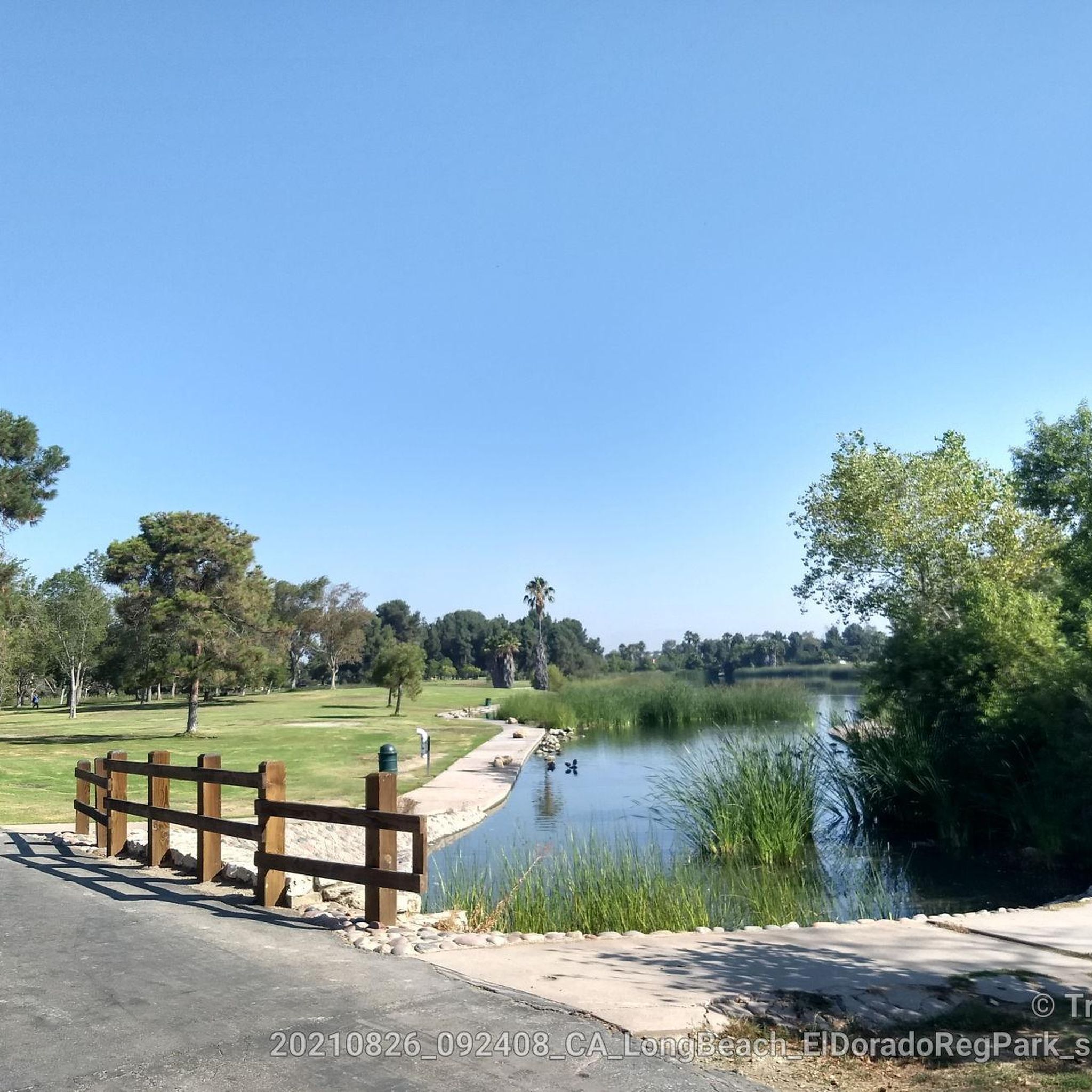
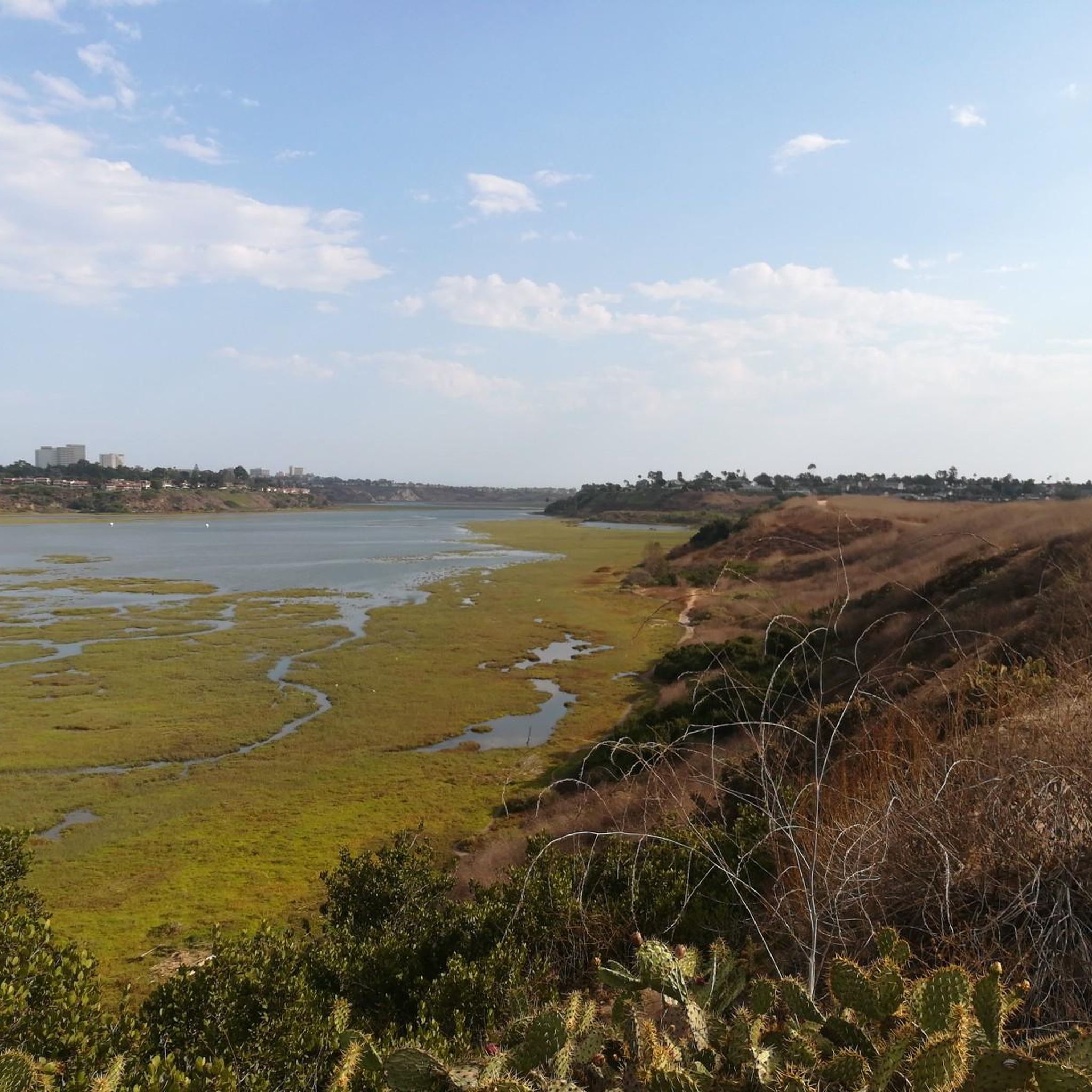
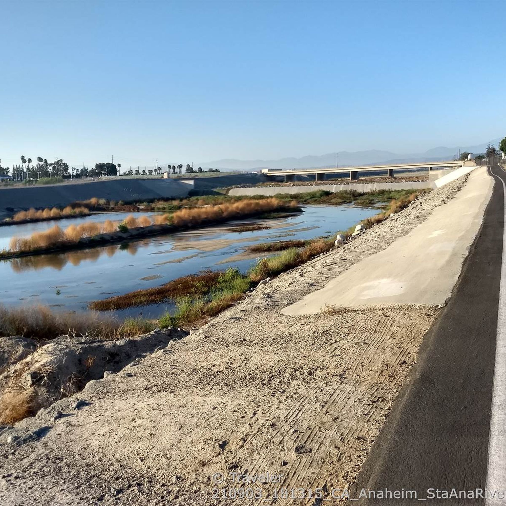
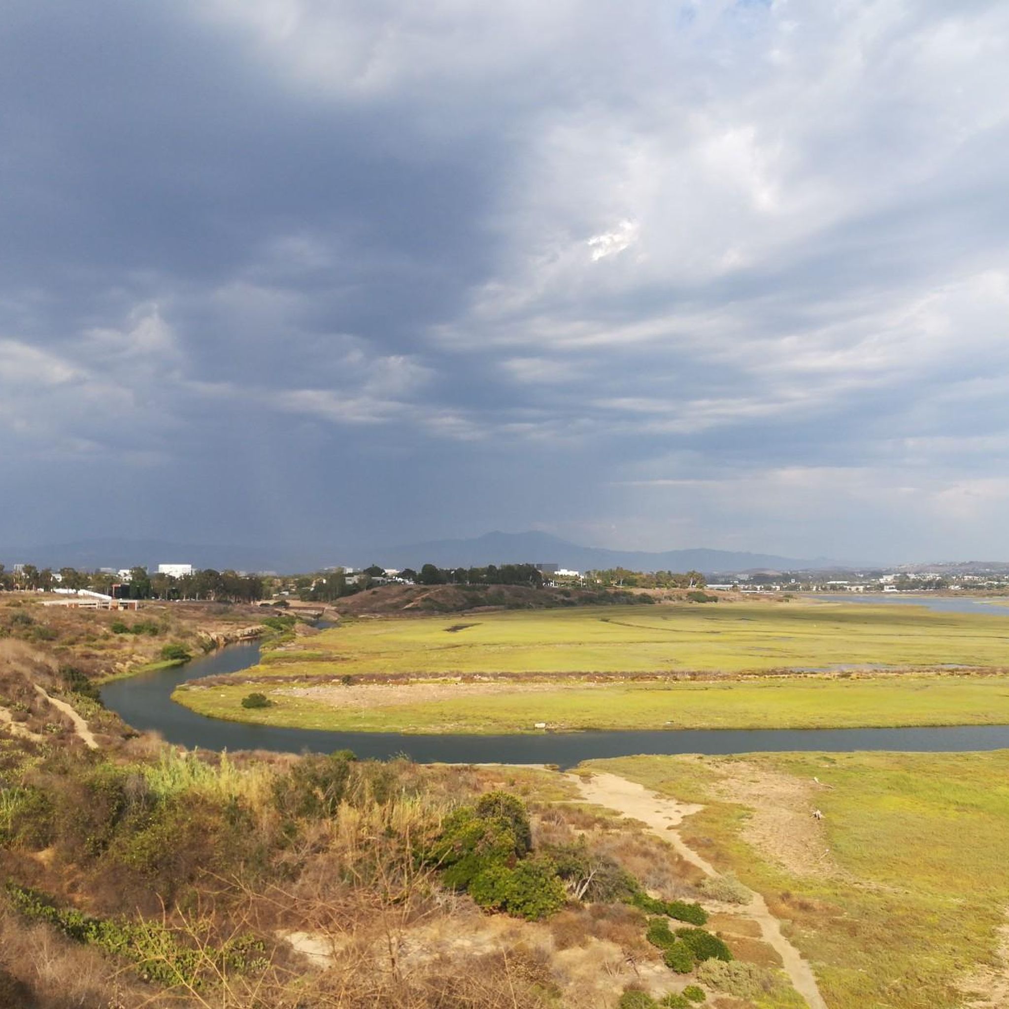

Tips from the Community


The Huntington Beach Wetlands are a nice break from the busy oceanfront paths. It’s a flat, quiet stretch along Talbert Marsh with great views of the salt marsh and birdlife. Easy to link with Pacific Coast Highway, and worth slowing down for a quick wildlife stop or photo.
0
0

Huntington Beach State Park spans 121 acres, hugging the coast. Nature lovers visit for the surfing, wildlife, recreation, the 2-mile-long bike trail, and more. During the summer, arrive early to avoid the crowds.
1
0

Not a bad trail. Super smooth and free of cars and gravel
0
0

Nice wooden bridge along the Santa Ana River Trail. It takes you over the river and gives you a good view of the water.
1
0
Bike along the Santa Ana River Trail for a fantastic view of Angel Stadium’s iconic “Big A” sign, a 230-foot-tall landmark that originally served as the stadium's scoreboard. The halo atop the sign lights up after every Angels victory, glowing even brighter for home wins. Be sure to avoid the surrounding streets on game days, as the area can get crowded.
1
0
Frequently Asked Questions
How many road cycling routes are available in Garden Grove?
Garden Grove offers a wide variety of road cycling routes, with over 90 options available. These routes cater to different skill levels, including 35 easy, 50 moderate, and 7 difficult paths, ensuring there's something for every cyclist.
Are there easy road cycling routes suitable for beginners or families in Garden Grove?
Yes, Garden Grove provides numerous easy road cycling routes perfect for beginners or families. The city's recent infrastructure improvements, such as the protected bikeway along Garden Grove Boulevard, enhance safety and accessibility. For a scenic and easy ride, consider the Huntington Beach Trail – Huntington State Beach loop from El Pollo Loco, an enjoyable 25.8-mile path along the coast.
What are some scenic road cycling routes with viewpoints or natural features near Garden Grove?
Road cycling in Garden Grove offers access to several scenic routes. The Huntington Beach Trail – Huntington State Beach loop provides stunning ocean views along the Pacific Ocean waterfront. You can also connect to the Santa Ana River Trail, which offers views of the iconic Big A Sign at Angel Stadium, or explore natural settings like Talbert Regional Park via routes like the Santa Ana River Trail – Talbert Regional Park loop from Valley High School.
Are there any long-distance road cycling routes available from Garden Grove?
Absolutely. For those seeking a longer challenge, the Orange to Seal Beach via Huntington Beach Trail loop is a challenging 96.7-mile route that connects inland areas to the Pacific coast, offering extensive riding along dedicated paths. This route typically takes around 6 hours and 36 minutes to complete.
What kind of terrain can I expect on road cycling routes around Garden Grove?
The terrain around Garden Grove is generally flat, making it accessible for various skill levels. Routes often feature urban bikeways, dedicated river trails like the Santa Ana River Trail, and coastal paths, providing a smooth and enjoyable riding experience. While mostly flat, some routes may have minor elevation changes, such as the Orange to Seal Beach via Huntington Beach Trail loop, which includes over 880 meters of elevation gain.
Are there any loop trails for road cycling in Garden Grove?
Yes, many road cycling routes in and around Garden Grove are designed as loops, offering convenient starting and ending points. Examples include the popular Orange to Seal Beach via Huntington Beach Trail loop and the San Gabriel River Trail – Seal Beach loop from Katella-Holder, which takes you through river parkways to the coast.
What do other road cyclists enjoy most about cycling in Garden Grove?
The road cycling experience in Garden Grove is highly regarded by the komoot community, with an average rating of 4.7 stars from over 100 reviews. Cyclists often praise the area's well-maintained bikeways, the accessibility to extensive regional trails, and the diverse scenery that ranges from urban parks to coastal views and river paths. The ability to connect to destinations like Huntington Beach and Seal Beach is also a major draw.
Are there less crowded road cycling options near Garden Grove?
While popular coastal trails can get busy, exploring routes that connect to less-trafficked sections of the Santa Ana River Trail or venturing into parks like Talbert Regional Park can offer a more serene experience. The city's expanding network of protected bikeways also helps distribute cyclists, potentially reducing crowding on specific paths.
Can I access road cycling routes in Garden Grove using public transport?
Garden Grove's urban setting and ongoing infrastructure improvements aim to enhance accessibility for all modes of transport, including cycling. While specific public transport connections to trailheads vary, the city's commitment to its 'Bike Master Plan Map' suggests increasing integration. Many routes are accessible from various points within the city, making it feasible to reach them by combining public transport with a short ride.
Are there any attractions or points of interest along the road cycling routes?
Yes, road cycling routes in and around Garden Grove offer several points of interest. Along the Santa Ana River Trail, you can spot the iconic Big A Sign at Angel Stadium. Coastal routes lead to scenic spots like Bolsa Bay and the Bolsa Chica Ecological Reserve, offering opportunities for wildlife observation. Inland, parks like Talbert Regional Park provide natural settings to explore.
What is the best time of year for road cycling in Garden Grove?
Garden Grove, like much of Southern California, enjoys a mild climate year-round, making road cycling pleasant in most seasons. Spring and fall generally offer the most comfortable temperatures for longer rides. Summer can be warm, especially inland, but coastal routes benefit from ocean breezes. Winter is typically mild with occasional rain, but many days are still suitable for cycling.
Are there routes that connect to the Santa Ana River Trail from Garden Grove?
Yes, Garden Grove's advantageous location allows for easy access to the Santa Ana River Trail (SART). Routes such as the Santa Ana River Trail – Talbert Regional Park loop from Valley High School and the Santa Ana River Trail – Angel Stadium loop from The Outlets at Orange directly utilize or connect to the SART, providing extensive, safe biking away from traffic and leading to various natural features and coastal attractions.
Most popular attractions around Garden Grove

Get inspired with the komoot mobile app


Explore more
Browse the best Road cycling routes in other regions.
