The best road cycling routes around Brinkenweiher
4.7
(72)
861
riders
75
rides
Road cycling around Brinkenweiher is characterized by routes that navigate the Westerwaldkreis region, featuring a mix of rolling hills and scenic lake areas. The landscape includes the Brinkenweiher lake itself, alongside other ponds and forested sections. This area offers varied terrain suitable for road cyclists seeking both gentle and more challenging gradients.
Best road cycling routes around Brinkenweiher
- The most popular road cycling route is Adventure Playground Dreifelden loop from Freilingen, a 4.4 miles (7.1 km) trail that takes about 20 minutes to complete. This moderate route circles the Dreifelden area.
- Another top favourite among local road cyclists is Dreifelder Pond – Dreifelder Pond loop from Freilingen, a moderate 30.6 miles (49.3 km) path. This route offers extensive views around the Dreifelder Pond.
- Local road cyclists also love the Dreifelder Weiher – Dreifelder Pond loop from Dreifelden, a 16.6 miles (26.7 km) trail leading through the lake district, often completed in about 1 hour 10 minutes.
- Road cycling around Brinkenweiher is defined by its numerous lakes, gentle hills, and surrounding woodlands. The network offers options for easy, moderate, and difficult routes, catering to various skill levels.
- The routes in Brinkenweiher are highly rated by the komoot community with an average score of 4.7 stars from over 40 reviews. More than 750 road cyclists have used komoot to explore Brinkenweiher's varied terrain.
Last updated: October 8, 2026
63
riders
Moderate road ride. Great for any fitness level. Some segments of this route may be unpaved and difficult to ride.
4.5
(4)
26
riders
49.2km
02:20
580m
580m
Moderate road ride. Good fitness required. Some segments of this route may be unpaved and difficult to ride.

10
riders
27.0km
01:12
260m
260m
Easy road ride. Great for any fitness level. Mostly well-paved surfaces and easy to ride.
6
riders
12.5km
00:34
110m
110m
Moderate road ride. Great for any fitness level. Some segments of this route may be unpaved and difficult to ride.
5.0
(1)
4
riders
19.5km
00:57
230m
230m
Moderate road ride. Great for any fitness level. Some segments of this route may be unpaved and difficult to ride.
Get access to more routes and recommendations from other explorers.
Already have an account?
Our route recommendations are based on thousands of hikes, rides, and runs completed by other people on komoot.
Start today with a free account
Your next adventure awaits.
Tips from the Community

Beautiful to look at
0
0

House on the lake at Dreifelder Weiher
1
0

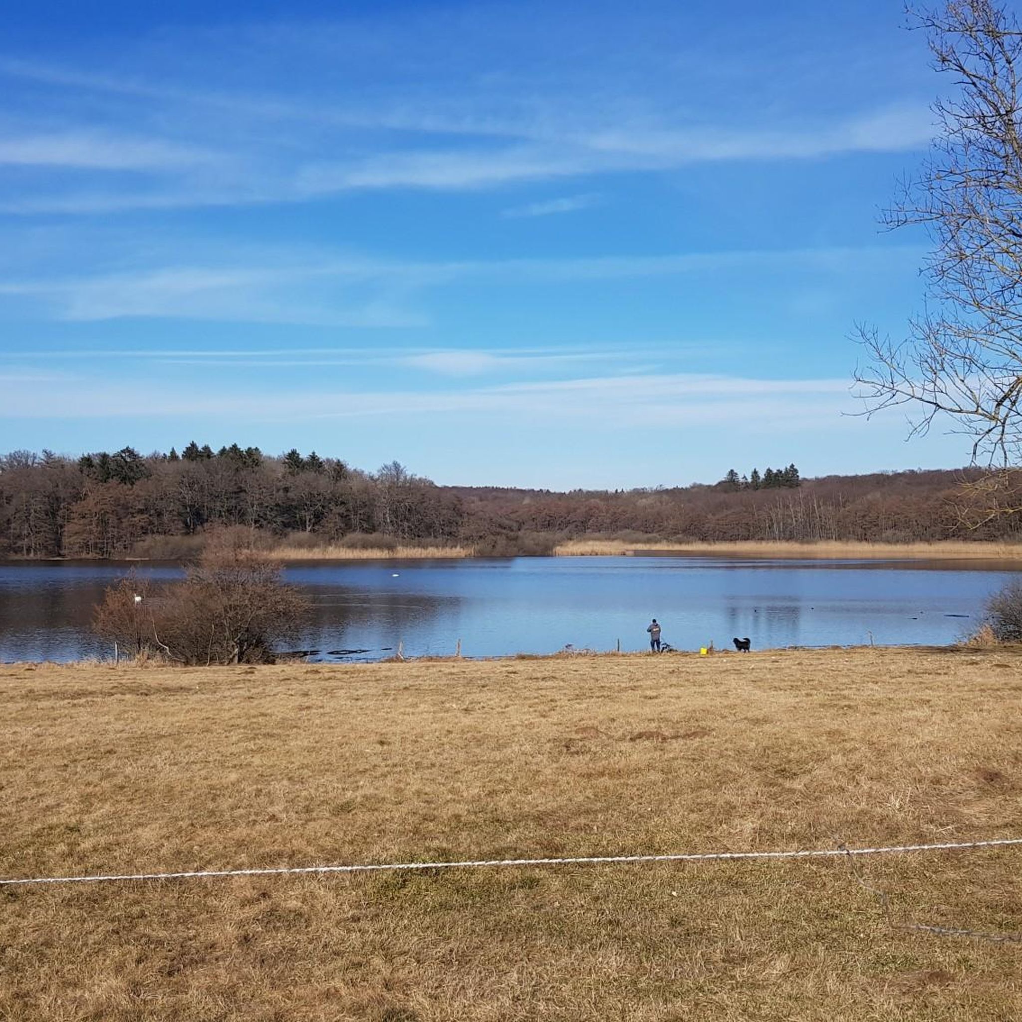
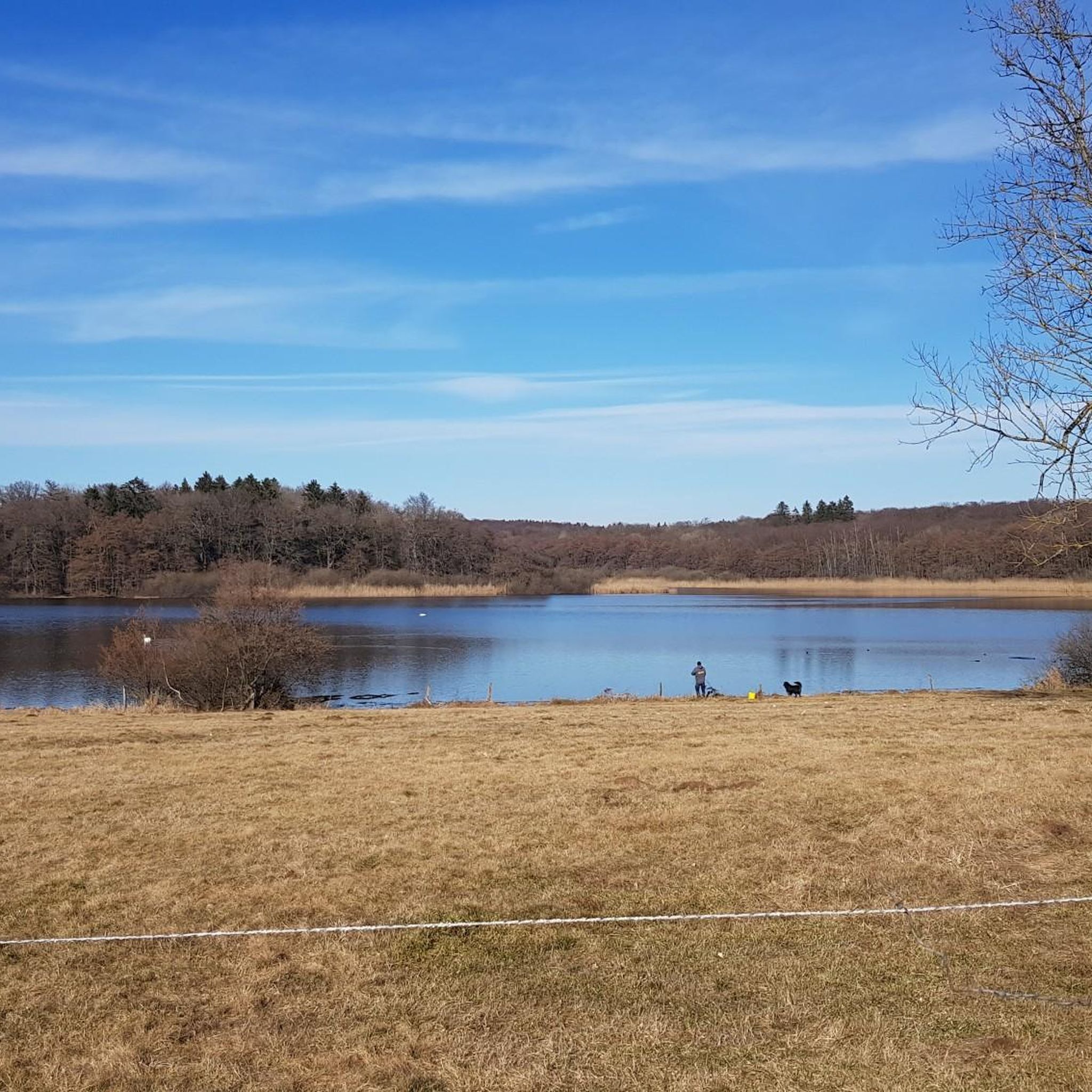
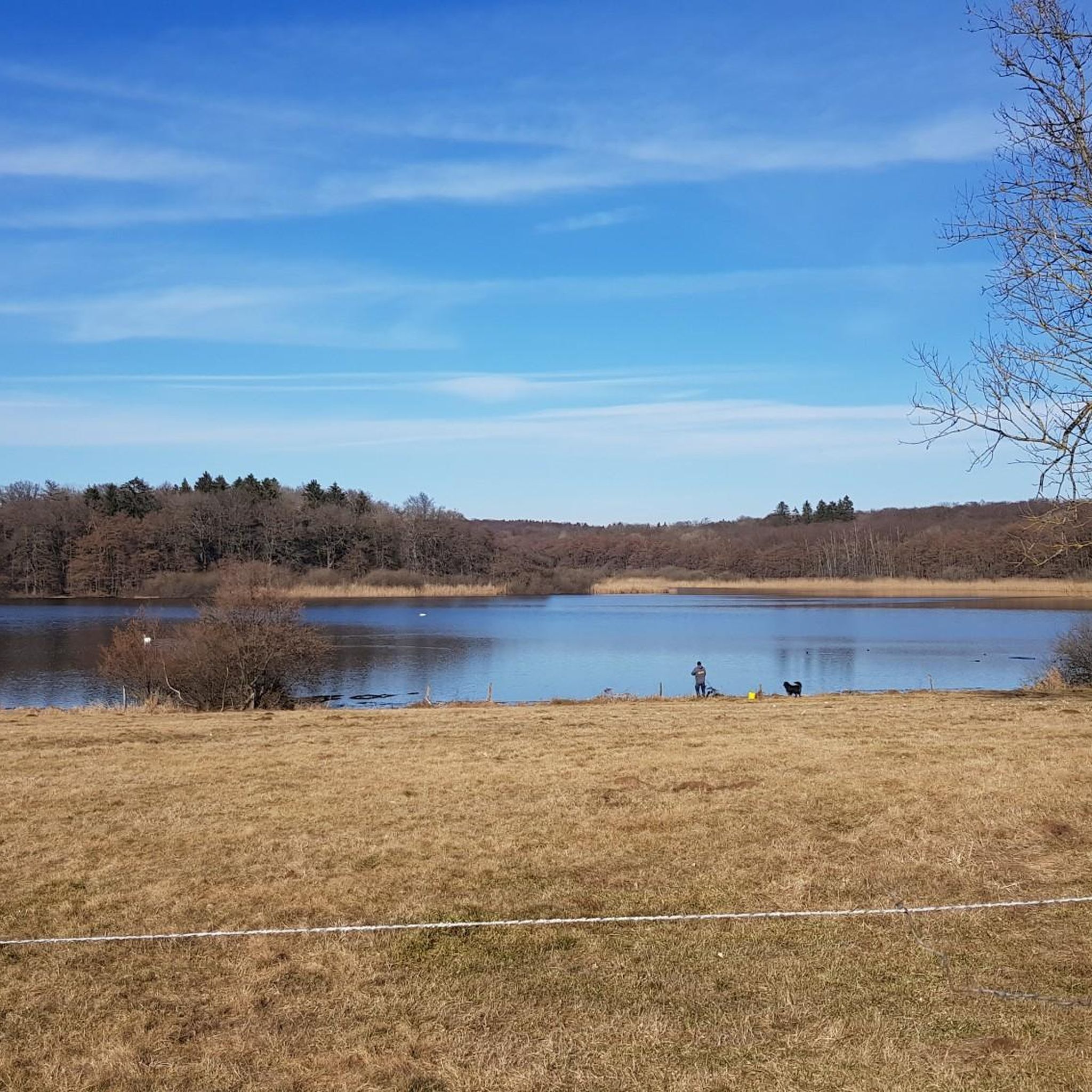
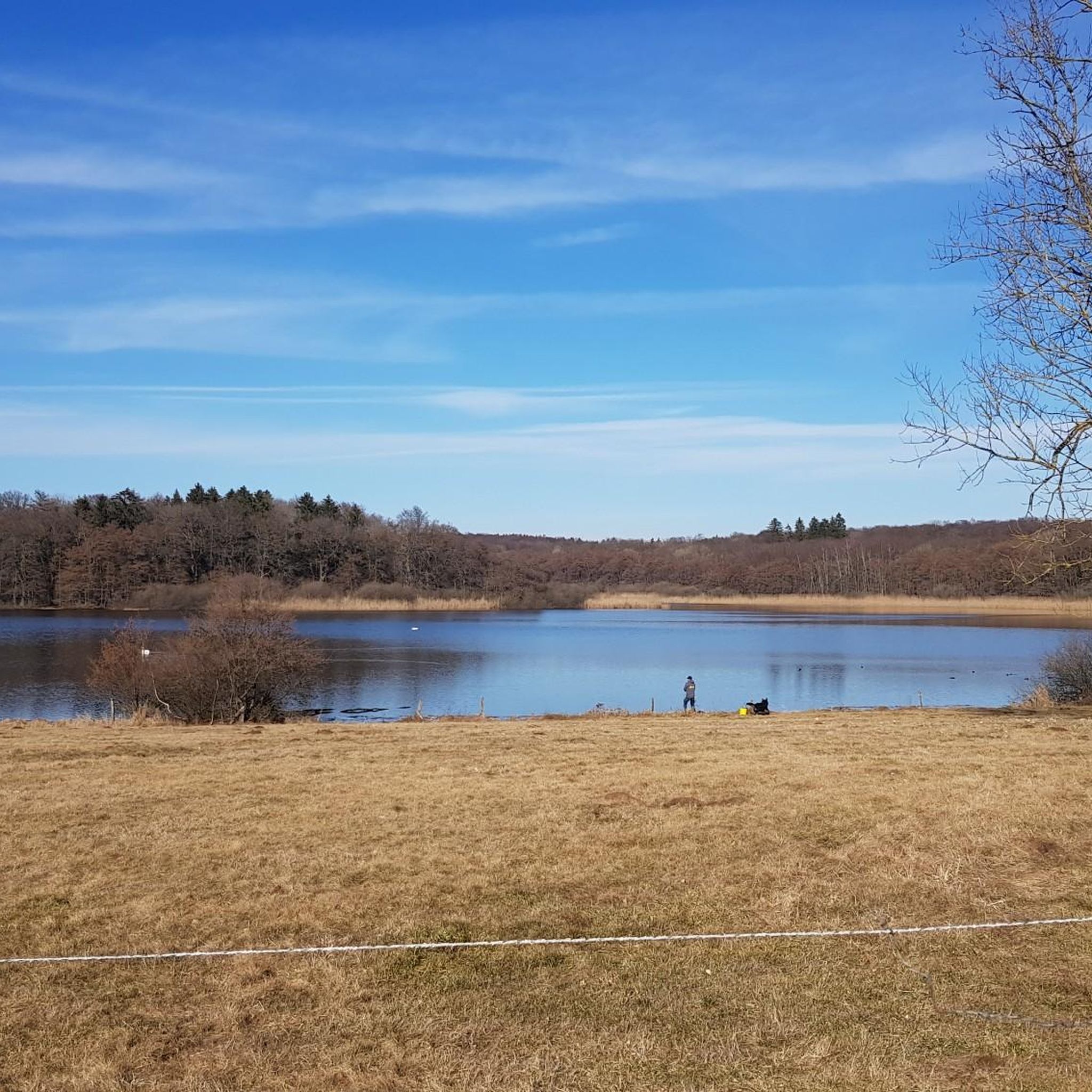
Beautiful Dreifelder Weiher, beautifully situated, idyllic and quiet.
0
0

A beautiful place at sunset☺️🦮🏃🏽
0
0

But you have to stretch quite a bit if you want to see the pond from here.
2
0

A nice round in itself. But you should also be prepared to push your bike a few meters because the path at Dreifelderweihe is very narrow.
1
1

Always great - for kids and adults. Lots of space, shady, forest. Excellent!
4
0

Unfortunately we saw too late that you can stop here. Next time!
0
0
Frequently Asked Questions
How many road cycling routes are available around Brinkenweiher?
There are over 75 road cycling routes around Brinkenweiher, offering a diverse range of experiences for all skill levels.
What kind of terrain can I expect on road cycling routes in the Brinkenweiher area?
The Brinkenweiher area features a mix of rolling hills and scenic lake areas, including the Brinkenweiher lake itself, other ponds, and forested sections. You'll find varied terrain suitable for both gentle and more challenging gradients.
Are there easy road cycling routes suitable for beginners or families around Brinkenweiher?
Yes, Brinkenweiher offers several easy road cycling routes. For instance, the Dreifelder Weiher – Dreifelder Pond loop from Dreifelden is an easy 16.6-mile (26.7 km) trail that leads through the lake district.
What are the typical distances for road cycling routes in Brinkenweiher?
Route distances vary significantly. You can find shorter loops like the Adventure Playground Dreifelden loop from Freilingen at 4.4 miles (7.1 km), up to longer excursions such as the Dreifelder Pond – Dreifelder Weiher loop from Westerwald, which spans over 33 miles (54.5 km).
Are there any challenging road cycling routes for experienced riders?
While most routes are moderate, there are a few more challenging options available. The region's rolling hills provide opportunities for longer rides with significant elevation gain, such as the Dreifelder Pond – Dreifelder Pond loop from Freilingen, which covers 30.6 miles (49.3 km) with over 570 meters of elevation gain.
What kind of views can I expect while road cycling around Brinkenweiher?
Road cycling routes around Brinkenweiher offer extensive views of the numerous lakes, including the Dreifelder Pond and Haidenweiher, as well as the surrounding gentle hills and woodlands of the Westerwaldkreis region.
Are there circular road cycling routes available?
Yes, many of the road cycling routes around Brinkenweiher are designed as loops. Examples include the View of Haidenweiher – Dreifelder Weiher loop from Dreifelden and the Adventure Playground Dreifelden loop from Freilingen, allowing you to start and end at the same point.
What do other road cyclists say about the routes in Brinkenweiher?
The road cycling routes in Brinkenweiher are highly rated by the komoot community, with an average score of 4.7 stars from over 40 reviews. Cyclists often praise the scenic lake districts and varied terrain.
What are some popular starting points for road cycling in the Brinkenweiher area?
Common starting points for road cycling adventures include Freilingen and Dreifelden, which offer convenient access to many of the region's popular loops and trails.
How can I find a road cycling route that matches my fitness level?
The routes around Brinkenweiher are categorized by difficulty. You can find 7 easy routes, 66 moderate routes, and 4 difficult routes, ensuring options for various fitness levels. Each route description on komoot provides details on distance, elevation, and estimated duration.
Most popular routes around Brinkenweiher
Most popular attractions around Brinkenweiher

Get inspired with the komoot mobile app


Explore more
Browse the best Road cycling routes in other regions.
