The best cycling routes around Wiesensee
4.6
(3606)
11,813
riders
516
rides
Touring cycling routes around Wiesensee, located in the Westerwald low mountain range, offer diverse landscapes centered around the artificial lake. The region features forests, wetlands, and river valleys like the Schwarze Nister. Cycling paths connect with regional networks, providing options across varied terrain, from mostly paved surfaces to routes with significant elevation gains.
Best touring cycling routes around Wiesensee
- The most popular touring cycling route is Great Secker Pond – Wiesensee loop from Stahlhofen, a 13.6 miles (21.9 km)…
Last updated: October 8, 2026
4.7
(114)
321
riders
36.4km
02:31
370m
360m
Moderate bike ride. Good fitness required. Mostly paved surfaces. Suitable for all skill levels.
4.3
(23)
105
riders
22.0km
01:28
190m
190m
Moderate bike ride. Good fitness required. Mostly paved surfaces. Suitable for all skill levels.

4.1
(12)
80
riders
22.5km
01:28
220m
220m
Moderate bike ride. Good fitness required. Mostly paved surfaces. Suitable for all skill levels.
4.4
(27)
74
riders
9.61km
00:37
60m
60m
Easy bike ride. Great for any fitness level. Mostly paved surfaces. Suitable for all skill levels.
4.3
(3)
31
riders
Easy bike ride. Great for any fitness level. Mostly paved surfaces. Suitable for all skill levels.
Get access to more routes and recommendations from other explorers.
Already have an account?
Our route recommendations are based on thousands of hikes, rides, and runs completed by other people on komoot.
Start today with a free account
Your next adventure awaits.
Popular around Wiesensee
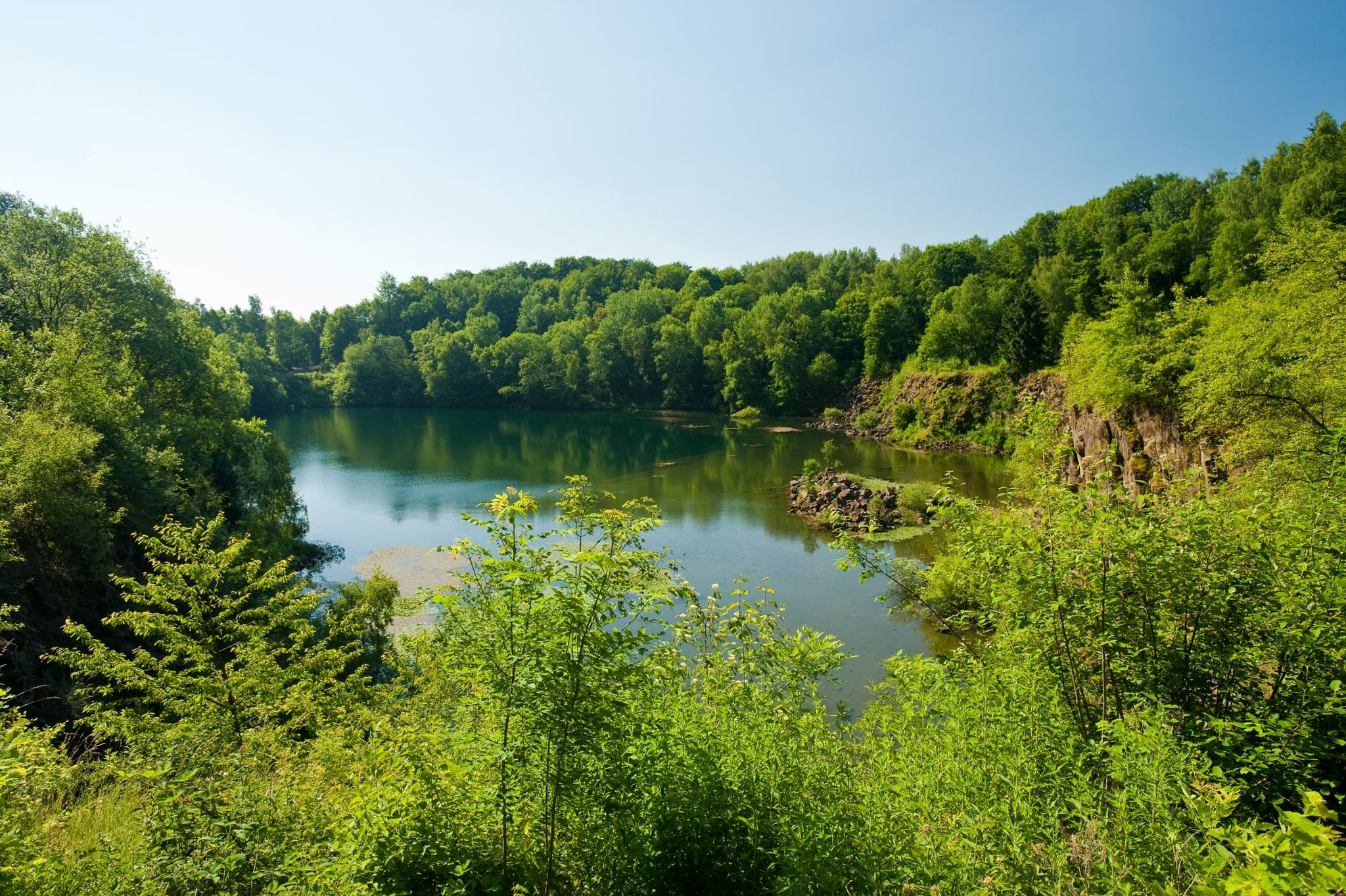
19 short hikes in the Westerwald
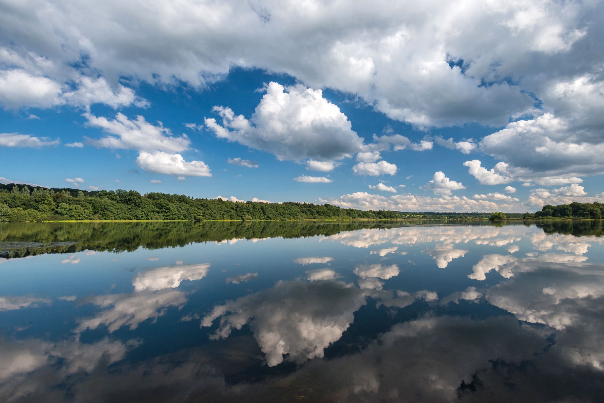
Waterways in Germany’s Westerwald — hiking along rivers and lakes
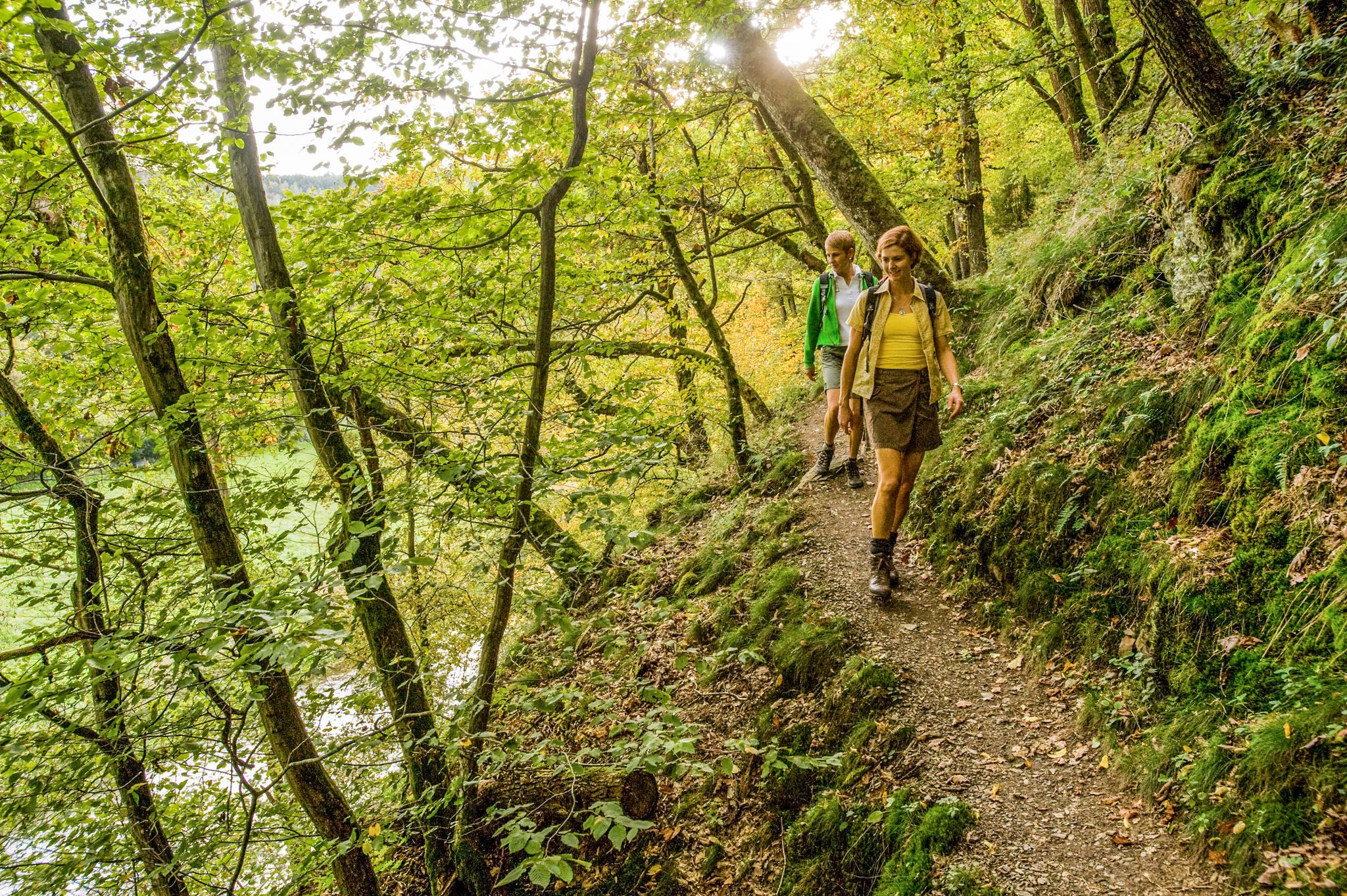
Wonderful unspoilt nature – 12 day hikes in the Westerwald mountains
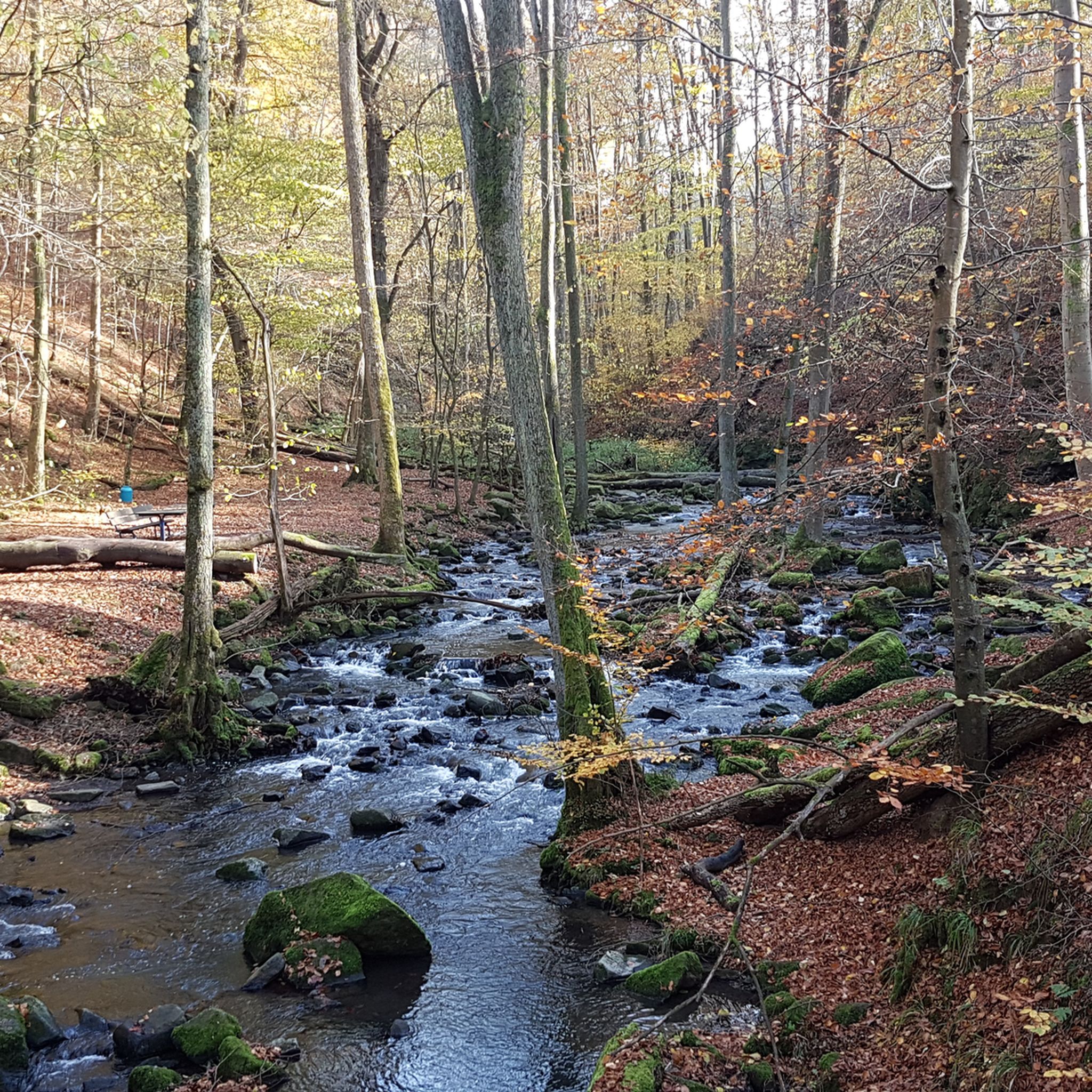
Hiking around Wiesensee
Road Cycling Routes around Wiesensee
MTB Trails around Wiesensee
Running Trails around Wiesensee
Gravel biking around Wiesensee
Other adventures around Wiesensee

Tips from the Community

Idyllic section on the shore of Wiesensee
0
0

Very nice cycle path around the reservoir.
1
0

The largest lake in the Hohe Westerwald can be wonderfully circumnavigated. Two campsites with beautiful bathing beaches are located on its shore. From an observation stand, you can observe the birdlife in the nature reserve next to the lake.
1
0

Nothing special in itself, and yet...along the way there is a beautiful, atmospheric landscape, cozy and simply beautiful to look at.
1
0


Beautiful! I recommend bringing food (for a picnic) and/or swimwear if the weather is nice. There are also many animals there, such as squirrels, deer, fish, swans, and others. The East Westerwald is known for its beautiful nature and the many wonderful animals.
1
0

Frequently Asked Questions
How many touring cycling routes are available around Wiesensee?
There are over 490 touring cycling routes around Wiesensee, catering to various skill levels. This includes more than 100 easy routes, over 220 moderate routes, and more than 160 difficult routes for experienced cyclists.
What kind of terrain can I expect on touring cycling routes around Wiesensee?
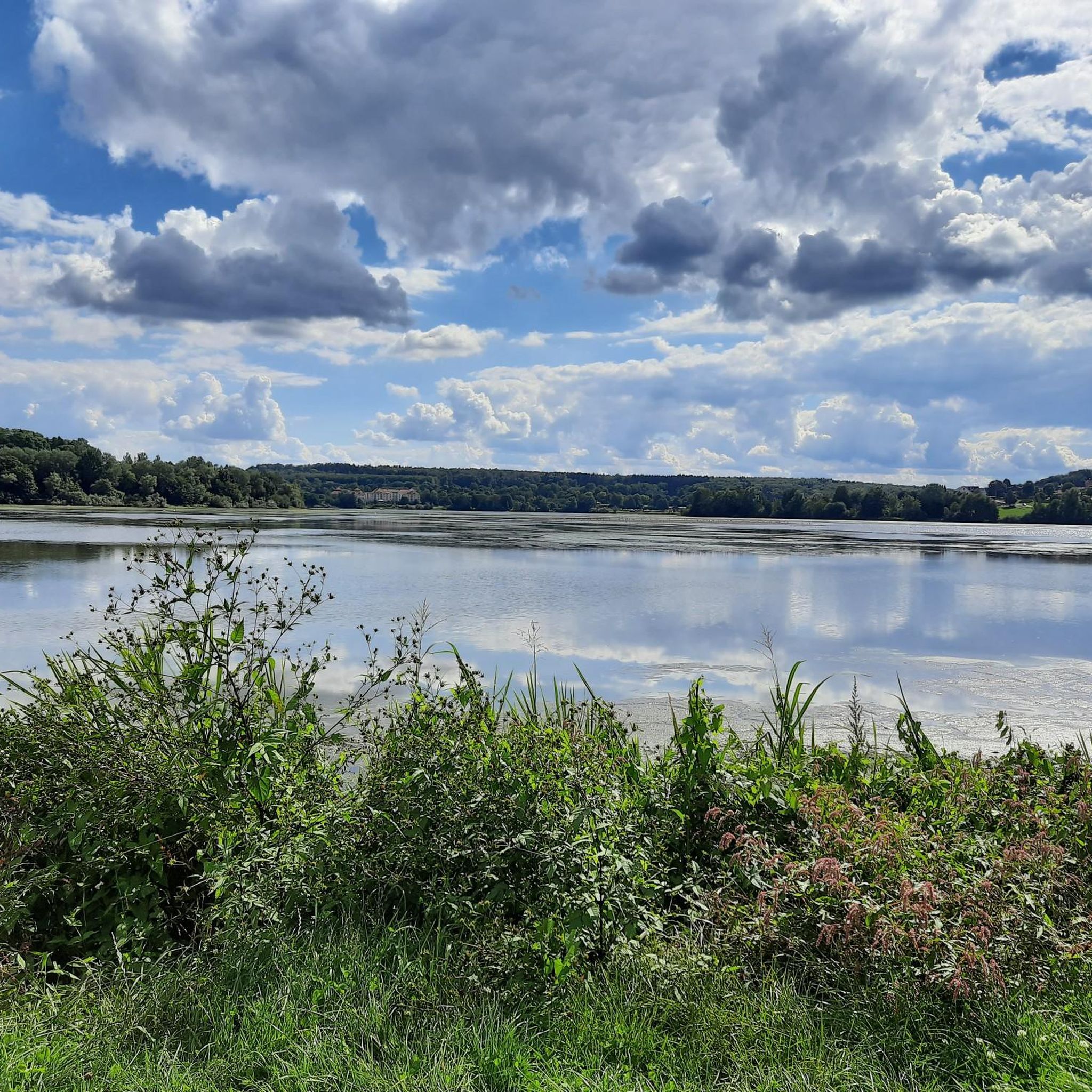
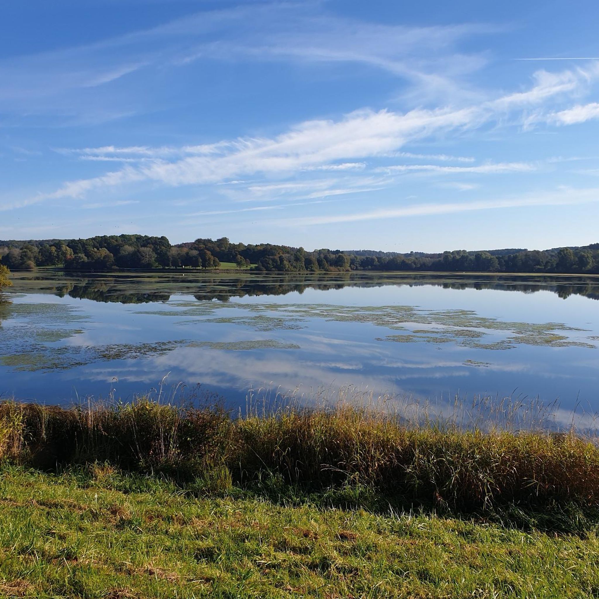
The terrain around Wiesensee is diverse, featuring a mix of paved paths, forest trails, and routes through wetlands. While many paths are relatively flat, especially those directly around the lake, some routes in the broader Westerwald region include gentle to moderate elevation changes. The region is known for its picturesque autumn landscapes and natural wetland areas like the Seebachtal.
Are there any easy, family-friendly touring cycling routes around Wiesensee?
Yes, Wiesensee offers several easy routes suitable for families. A popular choice is the Old Church Tower in Pottum – Pottum Ceramic Pot Fountain loop from Pottum, which is an easy 4.6-mile (7.5 km) trail leading through local landmarks. The circular path directly around the Wiesensee is also well-maintained and mostly flat, ideal for all skill levels.
What are some scenic points of interest I can see along the cycling routes?
Many routes offer beautiful views of the Wiesensee itself, as well as surrounding forests and wetlands. You might also encounter the Bridge over the Hüttenbach stream, which feeds into the lake. The region is part of the Secker Weiher/Wiesensee landscape protection area, known for its natural beauty.
Are there any circular touring cycling routes around Wiesensee?
Yes, circular routes are a highlight in the Wiesensee area. A well-known option is the Wiesensee – Great Secker Pond loop from Stahlhofen, a moderate 11.9-mile (19.1 km) path that offers scenic stretches along both the Wiesensee and the Great Secker Pond. There is also a popular, mostly flat circular path directly around the Wiesensee.
What do other touring cyclists enjoy most about cycling in Wiesensee?
The area is highly rated by the komoot community, with an average score of 4.6 stars from over 3000 reviews. Cyclists often praise the diverse landscapes, including lake views, forests, and wetlands, as well as the variety of routes suitable for different ability levels. The connection to the Rheinland-Pfalz cycling round route and other Westerwald networks is also appreciated.
Are there any longer or more challenging touring cycling routes for experienced riders?
For more experienced riders seeking a challenge, routes like the Jöckel's Alpenröder Hut – Großseifen Former Railway Line loop from Pottum offer a longer distance of 26.2 miles (42.2 km) and significant elevation gains, making it a difficult route. These routes explore the broader Westerwald region beyond the immediate lake area.
Can I find cafes or places to rest along the cycling routes?
Yes, there are facilities available. You can find places like the Kiosk on Wiesenweg at Wiesensee, which provides a spot for a break. The Lakeside Rest Area at Wiesensee also offers amenities. The Tourist Information WällerLand at Wiesensee can provide maps and tips for finding additional services.
What is the best time of year for touring cycling around Wiesensee?
The region offers beautiful scenery throughout the year. While the lake is currently drained for repairs, making water-based activities impossible, the cycling and hiking trails remain accessible. Autumn is particularly picturesque with the changing leaves. E-bike rentals are available from the Tourist Information WällerLand, making cycling enjoyable even with varied weather conditions.
Are there options for parking near the cycling routes?
Yes, parking is generally available in the vicinity of the Wiesensee and its surrounding villages, providing convenient access to the cycling routes. Specific parking areas are often signposted near popular trailheads and attractions.
Are there any routes that combine views of Wiesensee with other nearby lakes or ponds?
Absolutely. Routes such as the Great Secker Pond – Wiesensee loop from Stahlhofen, a moderate 13.6-mile (21.9 km) trail, offer views of both the Wiesensee and the Great Secker Pond, providing varied water landscapes during your ride.
Is it possible to access the cycling routes using public transport?
While specific public transport connections directly to all trailheads might vary, the Wiesensee region is generally accessible. For detailed information on public transport options to reach the starting points of routes, it's advisable to check local transport schedules or inquire with the Tourist Information WällerLand at Wiesensee.
Most popular routes around Wiesensee
Most popular attractions around Wiesensee

Get inspired with the komoot mobile app


Explore more
Browse the best Cycling routes in other regions.
