The best walks and hikes around Riveristalsperre
4.5
(5556)
24,405
hikers
841
hikes
Hiking around Riveristalsperre offers diverse trails within a scenic landscape characterized by the Riveris valley and its significant drinking water dam. The region features extensive forests, open meadows, and striking rock formations, providing expansive views of the Ruwer and Moselle valleys, and the distant Eifel mountains. These natural features are part of the larger Hunsrück region, known for its varied terrain and well-maintained paths. The elevation changes are generally moderate, making many routes accessible for different skill levels.
Best hiking…
Last updated: May 18, 2026
4.7
(212)
813
hikers
13.1km
03:46
310m
310m
Moderate hike. Good fitness required. Easily-accessible paths. Suitable for all skill levels.
4.5
(40)
103
hikers
8.25km
02:20
180m
190m
Moderate hike. Good fitness required. Easily-accessible paths. Suitable for all skill levels.

Sign up for free
4.6
(13)
39
hikers
Easy hike. Great for any fitness level. Easily-accessible paths. Suitable for all skill levels.
4.8
(6)
31
hikers
8.06km
02:20
210m
210m
Moderate hike. Good fitness required. Easily-accessible paths. Suitable for all skill levels.
3.0
(4)
23
hikers
5.60km
01:38
150m
150m
Easy hike. Great for any fitness level. Easily-accessible paths. Suitable for all skill levels.
Get access to more routes and recommendations from other explorers.
Sign up for free
Already have an account?
Our route recommendations are based on thousands of hikes, rides, and runs completed by other people on komoot.
Start today with a free account
Your next adventure awaits.
Login or Signup

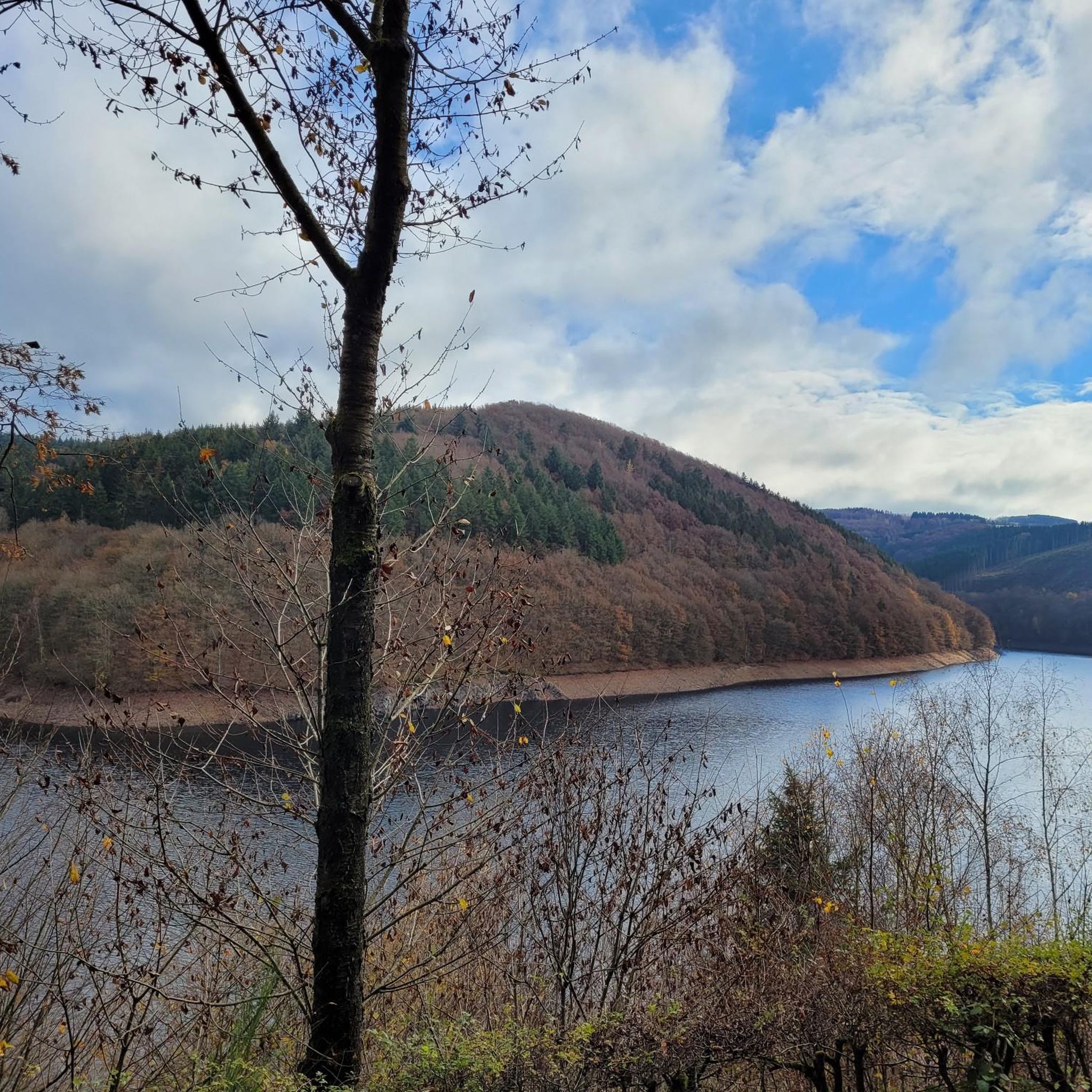
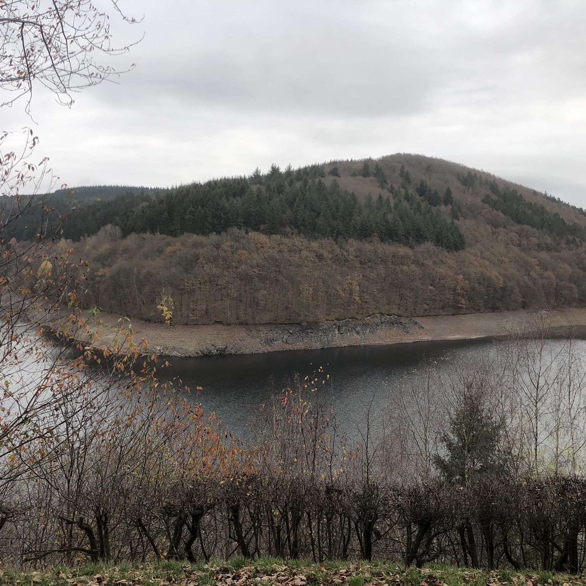
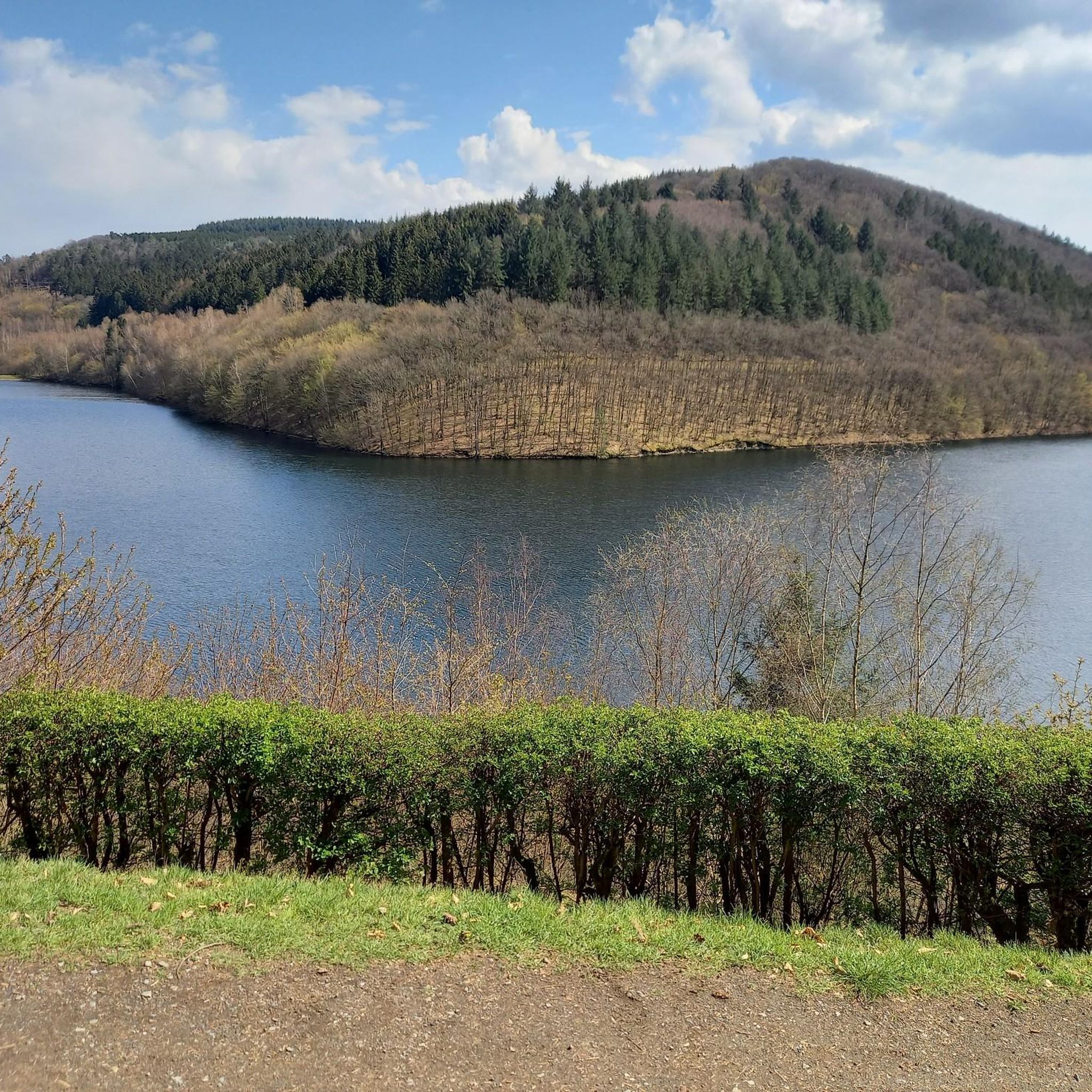
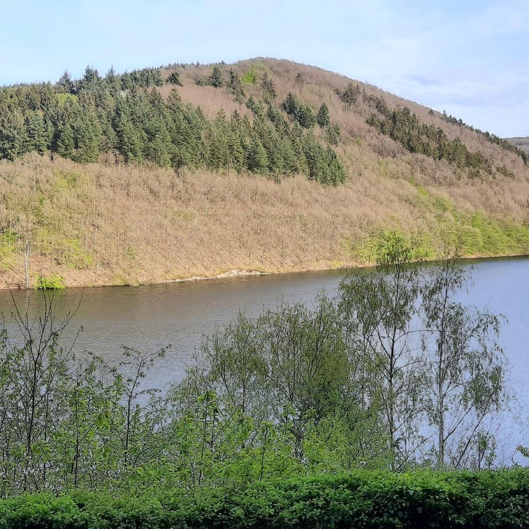
Tips from the Community

Water is life, simply a beautiful sight of our precious resource
1
0
From this spot you have a beautiful view over the water.
0
0

It takes a while, but then... one anthill after another, with thousands of ants in full activity. If you stand still too long, you'll have them all over your body ;) I've never seen anything like it.
0
0

A lovely place for a break. A bench and table for a rest. A relaxing break with a panoramic view.
0
0
Hiking parking lot at the start of RV3 (Äppelkist and Schiefer) or the dam circular trail. There is also parking for camper vans a little further down.
0
0

beautiful viewpoint with information board, bench, rotating relaxation bench
0
0
Walkable slate tunnel, information board and a nice picnic area, don't forget your flashlight
0
0
free parking, here you will find an information board and benches with a table, camper vans should park in the parking lot at the front
1
0
Frequently Asked Questions
How many hiking trails are available around Riveristalsperre?
There are over 800 hiking routes in the Riveristalsperre area. These include a wide range of options, with nearly 500 easy trails, over 340 moderate routes, and a few more challenging hikes for experienced trekkers.
Are there any easy, family-friendly hikes around Riveristalsperre?
Yes, the area offers many easy routes suitable for families. A popular option is the View of the Primstalsperre – View of the Riveristalsperre loop from Bonerath, which is about 4.9 km long and can be completed in under 1.5 hours. Another accessible choice is the Riveris Reservoir – Riveris Dam loop from Riveris, covering 5.6 km.
What kind of natural features and landmarks can I expect to see on the trails?
The Riveristalsperre region is rich in natural beauty. You'll encounter dense forests, open meadows, and striking rock formations. Key landmarks include the impressive Riveris Dam itself, the expansive Riveris Reservoir, and various viewpoints like the Double viewing bench overlooking the Riveris Reservoir. The area also features unique spots like the Rock Formation at the Riveris Reservoir.
Are there any circular hiking routes around the Riveristalsperre?
Yes, circular routes are a highlight of the area. A well-known option is the 8 km circular trail that encircles the Riveristalsperre itself, popular with hikers, cyclists, and joggers. For a longer moderate loop, consider the Riveris Reservoir – View of the Riveristalsperre loop from Bonerath, which is 13.1 km long.
What do other hikers say about the trails in Riveristalsperre?
The trails around Riveristalsperre are highly regarded by the komoot community, holding an average rating of 4.5 stars from over 5,300 reviews. Hikers often praise the well-maintained paths, the peaceful natural environment, and the diverse scenery, from dense forests to open views of the valleys.
Is the Riveristalsperre area suitable for dog-friendly hikes?
The Riveristalsperre area is generally dog-friendly, with many trails winding through forests and open spaces. The paths are closed to motor traffic, providing a safer environment for walks with pets. Always ensure your dog is on a leash and respect local regulations regarding wildlife and other hikers.
What is the best time of year to hike around Riveristalsperre?
The Riveristalsperre region offers beautiful hiking experiences throughout the year. Spring brings vibrant rapeseed fields, summer features poppies and cornflowers, and autumn showcases a rich palette of colors. The well-maintained paths make it accessible in most seasons, though winter conditions may require appropriate gear.
Are there any viewpoints offering panoramic vistas?
Yes, the area is known for its expansive views. Along the main hiking routes, you'll find designated viewpoints, including the Double viewing bench overlooking the Riveris Reservoir. These spots offer panoramic vistas of the Ruwer and Moselle valleys, and even the distant Eifel mountains.
Are there amenities like picnic spots or resting areas along the trails?
Yes, along the main hiking routes, visitors will find convenient amenities. These include information points, benches for resting, and dedicated picnic sites, some even equipped with drinking water facilities, making for a comfortable hiking experience.
Can I learn more about the Riveristalsperre dam itself?
The Riveristalsperre is a significant drinking water dam. Guided tours are occasionally offered by the Trier public utility company, providing insights into its function and history. For general information about the area, you can also visit Visit Mosel.
Are there any longer, more challenging hikes available?
While many routes are easy to moderate, the Riveristalsperre area is integrated with the Saar-Hunsrück Steig, a premium long-distance hiking trail. This connection provides opportunities for more serious trekkers to explore longer and potentially more challenging sections within the broader Hunsrück region.
What is the typical terrain and elevation gain like on the trails?
The terrain around Riveristalsperre is diverse, featuring forests, open meadows, and some rock formations. Elevation changes are generally moderate, making many routes accessible. For example, a 10.3 km moderate route like the View of the Riveristalsperre – Old Tree loop from Bonerath has an elevation gain of around 218 meters.
Most popular routes around Riveristalsperre
Most popular attractions around Riveristalsperre

Get inspired with the komoot mobile app


Explore more
Browse the best Hikes in other regions.
