The best road cycling routes around Dam Kiliansteich
4.9
(17)
401
riders
11
rides
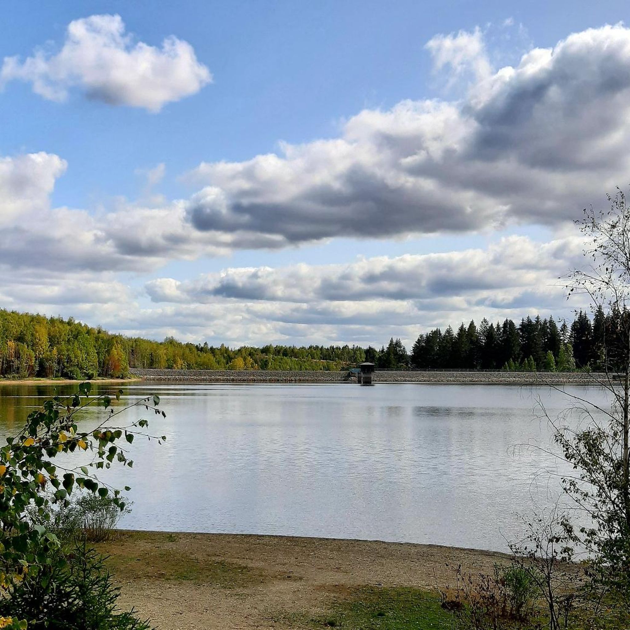
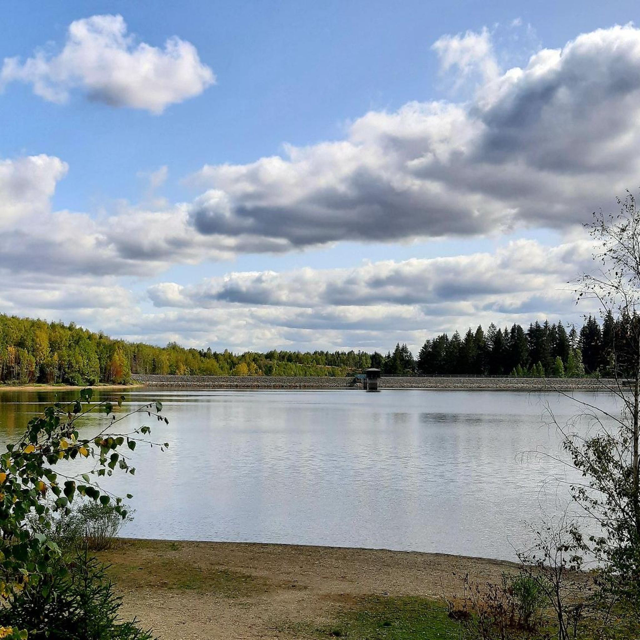
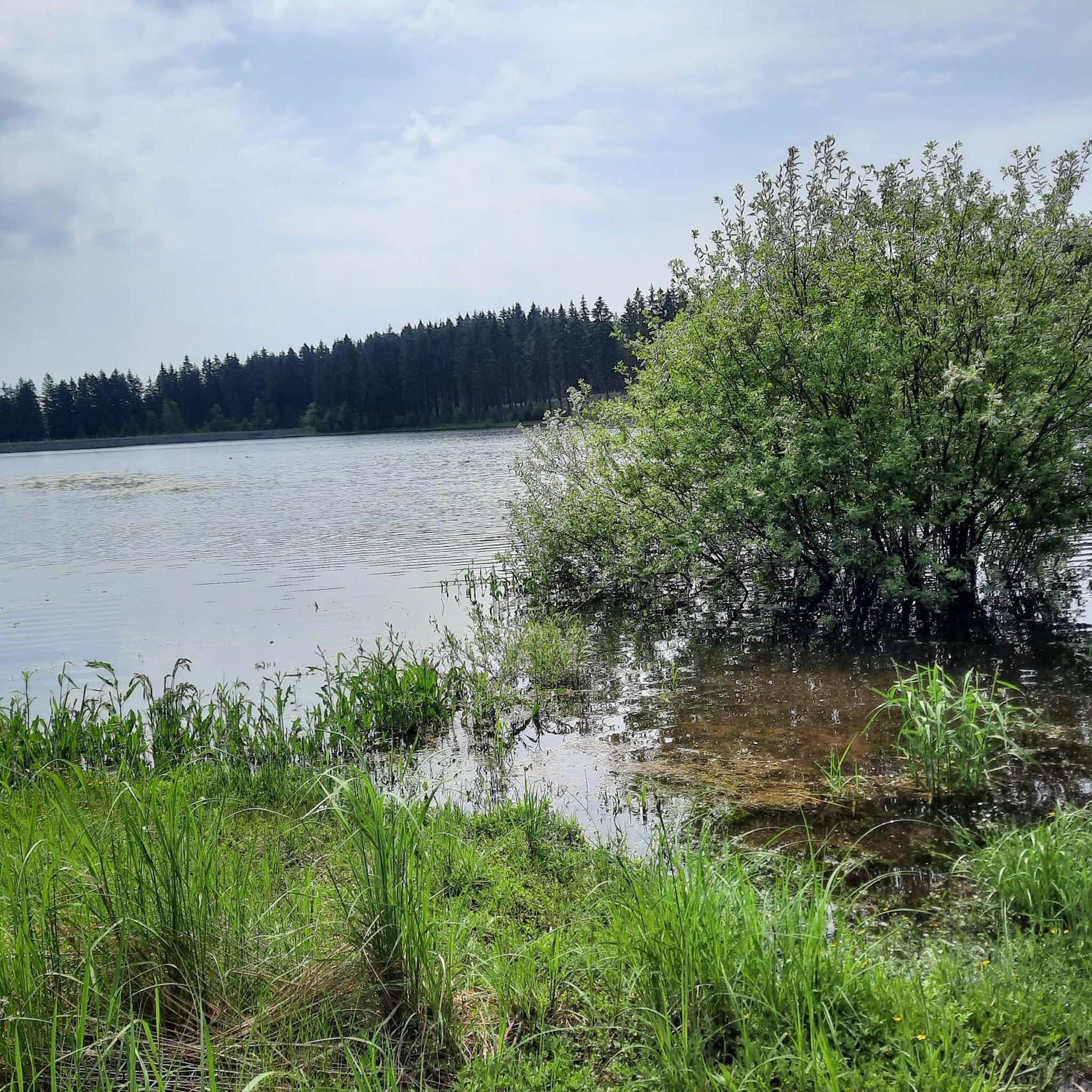
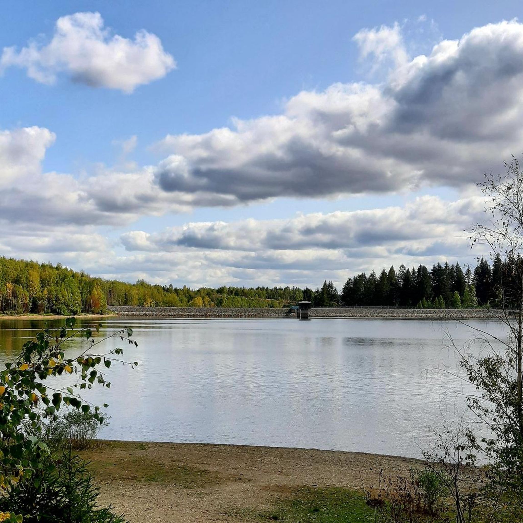
Road cycling routes around Dam Kiliansteich are set within the diverse Harz mountain range, characterized by dense deciduous and coniferous forests, stream valleys, and varied terrain. The region offers excellent training grounds with challenging climbs and enjoyable descents, featuring gradients up to 18 percent. Cyclists can navigate numerous long and tight bends, experiencing the unique blend of natural beauty and historical engineering of the Lower Harz Pond and Ditch System. This area provides a range of road cycling experiences, from…
Last updated: May 14, 2026
22
riders
62.9km
02:52
700m
700m
Moderate road ride. Good fitness required. Some segments of this route may be unpaved and difficult to ride.
23
riders
Moderate road ride. Good fitness required. Some segments of this route may be unpaved and difficult to ride.

Sign up for free
4.9
(9)
213
riders
120km
05:33
1,500m
1,500m
Hard road ride. Very good fitness required. Mostly well-paved surfaces and easy to ride.
19
riders
96.0km
04:37
1,160m
1,160m
Hard road ride. Very good fitness required. Mostly well-paved surfaces and easy to ride.
7
riders
44.1km
02:10
590m
590m
Moderate road ride. Good fitness required. Some segments of this route may be unpaved and difficult to ride.
Get access to more routes and recommendations from other explorers.
Sign up for free
Already have an account?
Our route recommendations are based on thousands of hikes, rides, and runs completed by other people on komoot.
Start today with a free account
Your next adventure awaits.
Login or Signup
Tips from the Community

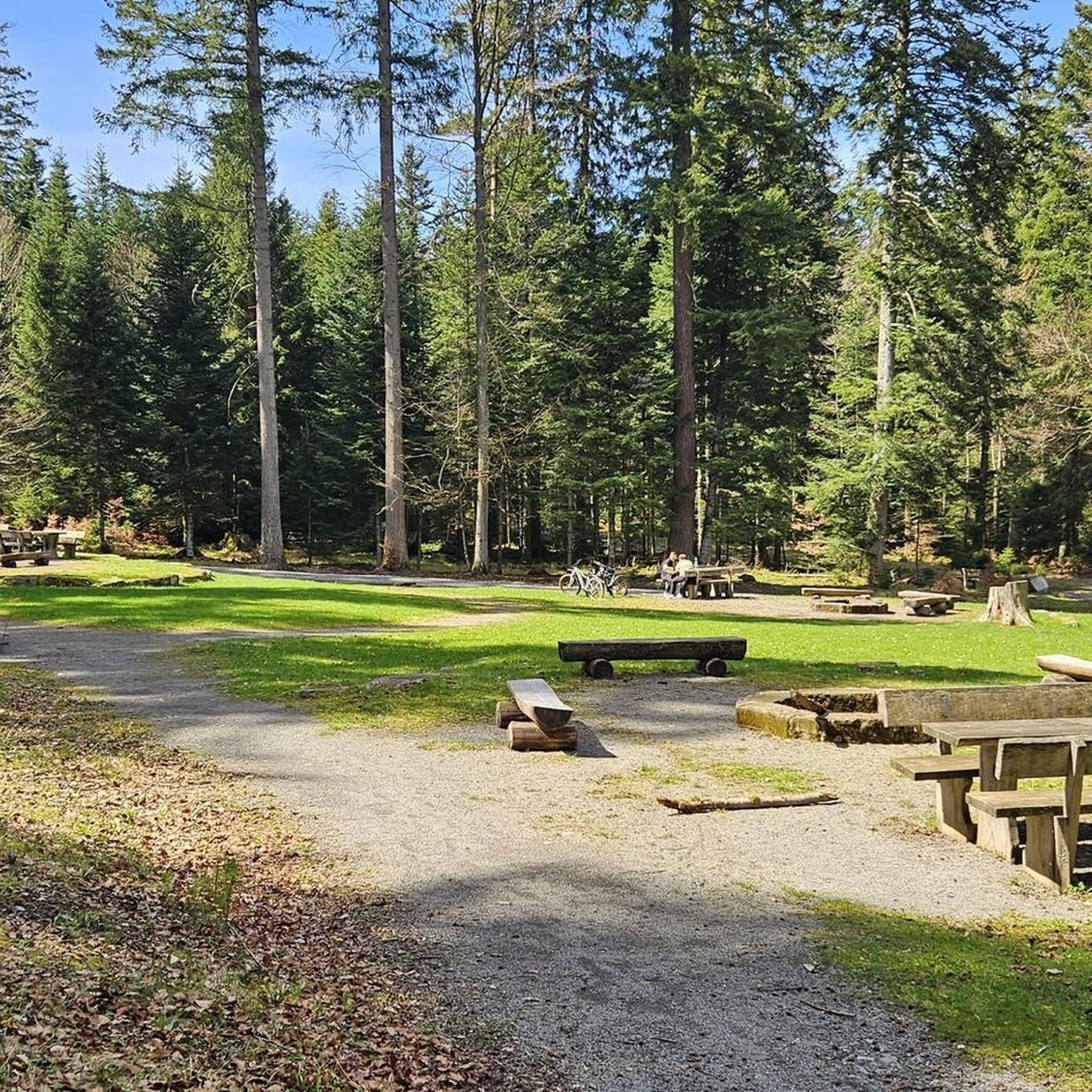
This is right next to the Josephskreuz parking lot.
0
0

Across the street there is also a large parking lot; from here it is not far to the Joseph Cross.
1
0

Can you also take a break
0
0


Please don't spoil it, leave everything as it is.
0
0
Today it was open. But only because someone was there working. Beautiful church that you can't see from the outside. You can buy a church guide.
0
0

The wide hall church, built centrally to the east of the market, is made of originally plastered slate quarry stone masonry. The substructure of the almost square west tower comes from a previous building from the early 13th century. The stately nave, which is in line with the tower on the south side and extends far beyond it on the north side, with massive buttresses and high round-arched windows, is essentially characterized by the conversion to a residential church by Prince Wilhelm in 1697–99; with its mighty roof, the building dominates the townscape. At the same time, the tower was given a slated wooden structure with a watchman's apartment and a four-sided baroque helmet with an open lantern on top. The three eastern walls of the former choir polygon of the late Gothic previous building were preserved during the conversion; Like the church of St. Martini in Stolberg, they are designed with triple-stepped buttresses and a surrounding cornice and pointed-arched windows with deep throats. The slanted buttresses on the eastern polygon side, which was extended to the north in 1697, show that the original three-sided choir end was about as wide as the tower; the medieval nave was probably originally a single-aisled one and just as wide. Between the second and third east pillars on the north side, a quarry stone structure made of three sides of a hexagon from 1906 with round-arched stone openings is attached. The west gable of the nave was renewed in 1950. Source: Wikipedia
8
0

The Saigerturm, around 30 metres high, stands at the south end of Stolberg's market square and is one of the landmarks of this former residential town. Its lower part, built from quarry stone in the early Gothic style, dates back to the 13th century. At that time, the Saigerturm was part of a city fortification, which primarily served to protect the market square. In the 19th century, the Saigerturm was extensively renovated and the upper part was renewed. During this work, which significantly changed the building, the tower also received its current appearance. The pedestrian passage was also built during this time. The Saigerturm got its name from the fact that in the Middle Ages a Saigerhütte worked in its immediate vicinity. In this, the silver-bearing ore extracted from the surrounding mountains was subjected to an initial thermal treatment. Today, the Saigerturm, alongside the castle, the Martini Church and the picturesque town hall, is a particularly striking landmark in the skyline of the historic European city of Stolberg. Source: https://www.harzlife.de/special/stolberg-saigerturm.html
3
0
Frequently Asked Questions
How many road cycling routes are available around Dam Kiliansteich?
There are over 14 road cycling routes around Dam Kiliansteich, offering a diverse range of experiences for cyclists.
What kind of terrain can I expect on road cycling routes near Dam Kiliansteich?
The terrain around Dam Kiliansteich is characteristic of the Harz mountain range, featuring dense deciduous and coniferous forests, stream valleys, and varied elevations. You can expect challenging climbs with gradients up to 18 percent, followed by exhilarating descents with numerous long and tight bends.
Are there road cycling routes suitable for different skill levels?
Yes, the routes cater to various abilities. You'll find 1 easy route, 6 moderate routes, and 7 difficult routes, ensuring options for both casual riders and those seeking a significant challenge.
What do other road cyclists enjoy most about the routes in Dam Kiliansteich?
The routes in Dam Kiliansteich are highly rated by the komoot community, with an average score of 4.8 stars from over 10 reviews. Cyclists often praise the unique blend of natural beauty, the historical engineering of the Lower Harz Pond and Ditch System, and the excellent training terrain with varied challenges.
What are some notable landmarks or points of interest along the road cycling routes?
While cycling, you'll be immersed in the natural beauty of the Harz. The Dam Kiliansteich itself is a historical marvel, part of the UNESCO World Heritage-recognized Lower Harz Pond and Ditch System. Routes may also pass near the historic old town of Stolberg, offering additional cultural exploration opportunities. For example, the Stolberg Historic Old Town – Gulaschkanone Rinkemühle loop from Straßberg (Harz) takes you through historical areas.
Are there any long-distance or particularly challenging road cycling routes?
Yes, for those seeking a significant challenge, routes like the Degenershausen Landscape Park – View of Arnstein Castle Ruins loop from Siptenfelde cover 74.3 miles (119.6 km) with substantial elevation gain, typically taking over 5 hours to complete. Other difficult routes include the Meisdorf Village Church – Through the Einetal valley loop from Heimbergsiedlung and the Luppbode Road Cycling Section – Ziegenberg bei Heimburg Ascent loop from Güntersberge.
What is the best time of year for road cycling around Dam Kiliansteich?
The Harz region, including Dam Kiliansteich, is generally best for road cycling from spring through autumn. During these seasons, the weather is typically more stable, and the natural landscape is at its most vibrant, offering ideal conditions for enjoying the varied terrain and scenic views.
Are there any family-friendly road cycling options near Dam Kiliansteich?
While many routes in the Harz feature challenging climbs, there is at least 1 easy route available. For family-friendly options, it's advisable to look for routes with less elevation gain and on quieter roads or dedicated cycle paths, which can be found by filtering routes on komoot.
Can I find accommodation or places to eat near Dam Kiliansteich?
Yes, the area around Dam Kiliansteich, particularly in nearby towns like Straßberg and Stolberg, offers various options for accommodation, cafes, pubs, and restaurants. These places provide convenient stops for refreshments or overnight stays during your cycling trip.
Is it possible to reach Dam Kiliansteich by public transport with a bicycle?
Public transport options in the Harz region can vary. While some regional buses or trains may allow bicycle transport, it's highly recommended to check the specific policies and schedules of local transport providers in advance, especially during peak seasons or for larger groups.
Where can I park my car if I'm bringing my road bike to Dam Kiliansteich?
Parking facilities for visitors are generally available in the vicinity of Dam Kiliansteich and in nearby towns like Straßberg. Look for designated parking areas that cater to outdoor enthusiasts. It's always a good idea to check local signage for any specific parking regulations or fees.
Are there any moderate-difficulty routes that offer a good balance of challenge and scenery?
Absolutely. The Wettelrode Reservoir – Questenberg loop from Großer Auerberg is a popular moderate route, covering 39.4 miles (63.4 km) and offering a great balance of varied Harz landscapes and a manageable challenge. Another excellent choice is the Stolberg Historic Old Town – Gulaschkanone Rinkemühle loop from Straßberg (Harz), which is 30.9 miles (49.7 km) and provides scenic views through historical areas.
Most popular routes around Dam Kiliansteich

Get inspired with the komoot mobile app


Explore more
Browse the best Road cycling routes in other regions.
