The best road cycling routes around Stausee Oberwald
4.6
(412)
3,887
riders
215
rides
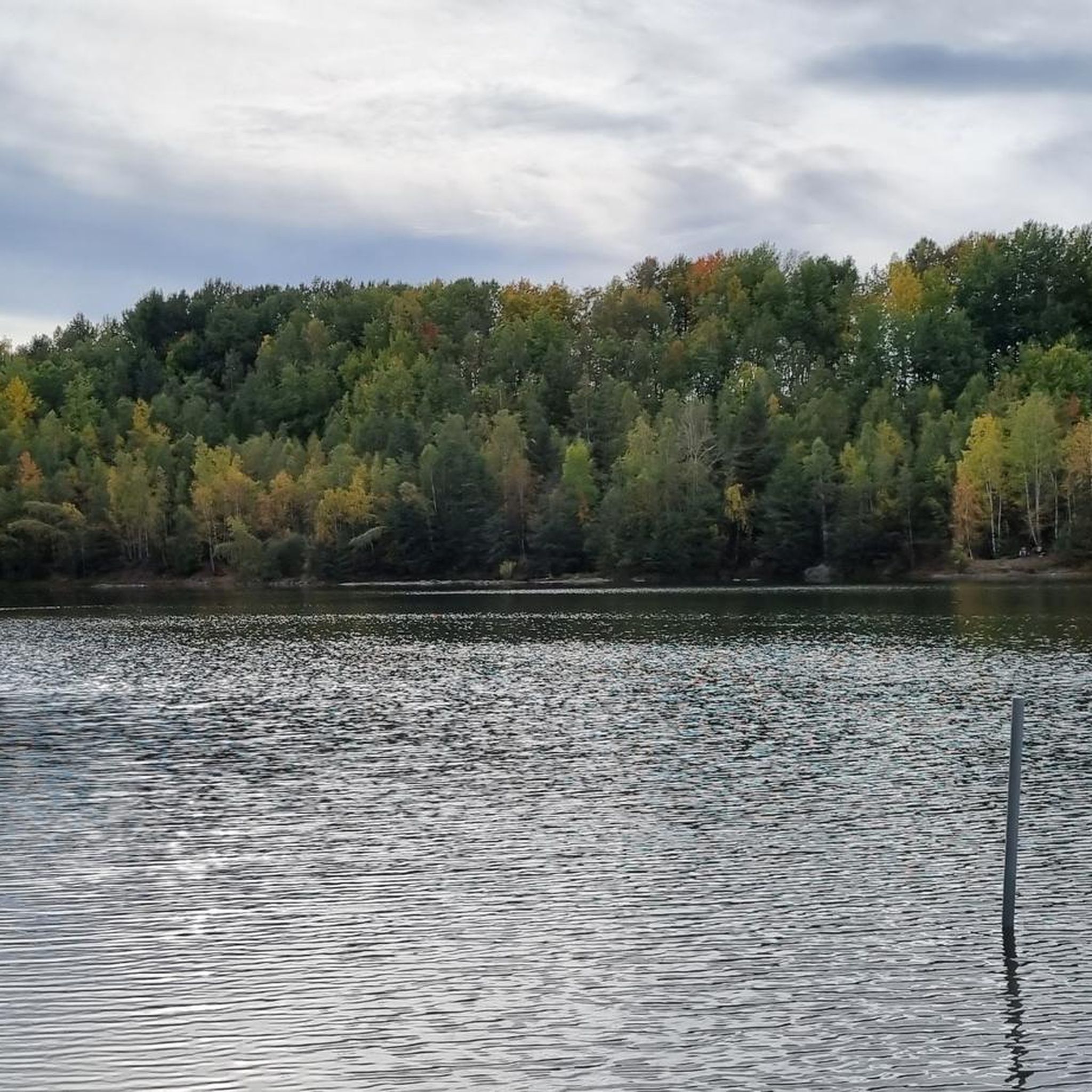
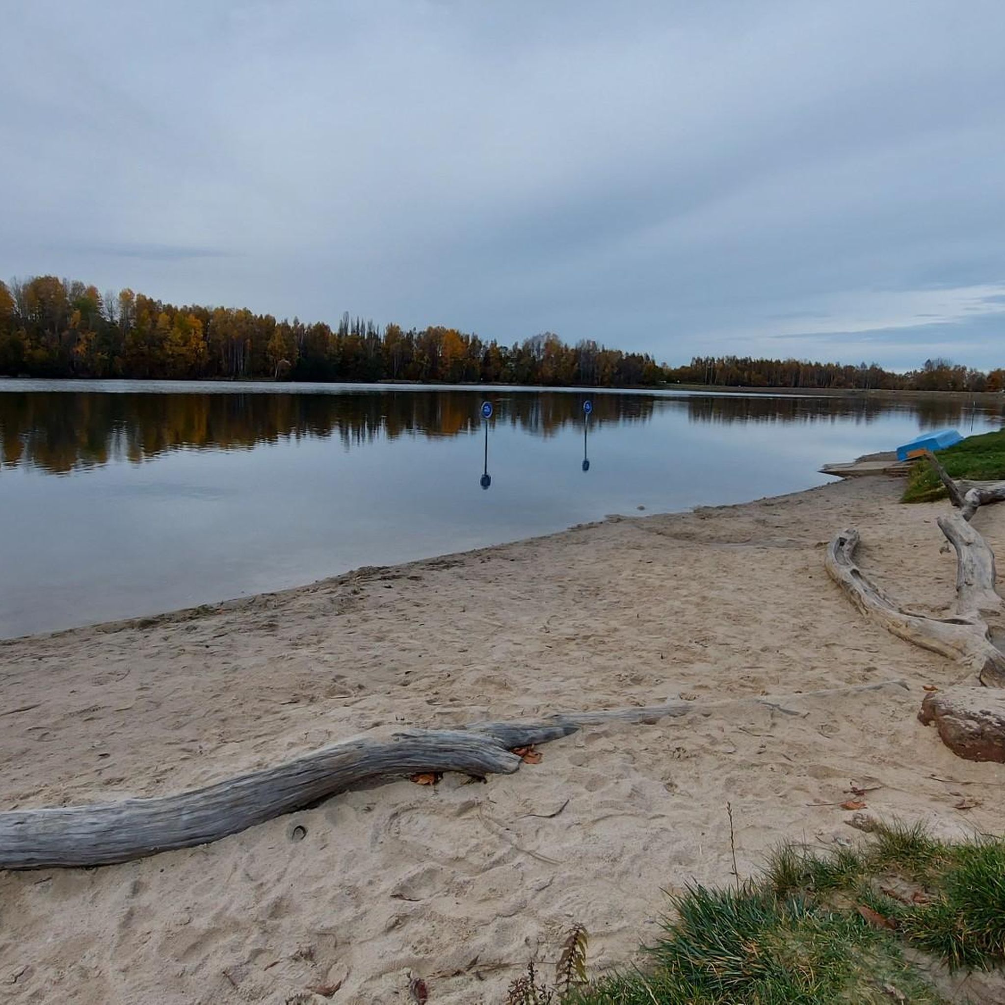
Road cycling routes around Stausee Oberwald are set within a wooded area, offering a picturesque backdrop for diverse outdoor pursuits. The region features a recreational lake and an extensive network of cycling paths. Routes vary in difficulty, with some including notable elevation gains within a low mountain range setting.
Best road cycling routes around Stausee Oberwald
- The most popular road cycling route is Grünfelder Park – View of Leipzig loop from Callenberg, a 19.7 miles (31.7 km) trail that…
Last updated: September 29, 2026
3
riders
51.7km
02:42
620m
620m
Moderate road ride. Good fitness required. Some segments of this route may be unpaved and difficult to ride.
2
riders
27.7km
01:18
310m
320m
Moderate road ride. Good fitness required. Mostly well-paved surfaces and easy to ride.

3
riders
25.3km
01:07
250m
260m
Easy road ride. Great for any fitness level. Mostly well-paved surfaces and easy to ride.
5.0
(14)
154
riders
58.5km
02:38
580m
580m
Moderate road ride. Good fitness required. Mostly well-paved surfaces and easy to ride.
7
riders
37.9km
01:53
570m
570m
Moderate road ride. Good fitness required. Mostly well-paved surfaces and easy to ride.
Get access to more routes and recommendations from other explorers.
Already have an account?
Our route recommendations are based on thousands of hikes, rides, and runs completed by other people on komoot.
Start today with a free account
Your next adventure awaits.

Tips from the Community

Nothing with a view. Greenery was planted directly in front of the rest area, which is also important as a visual barrier to the B173.
0
0
The house of worship, built in the "Empire style", was consecrated in 1810. Dominating the exterior is a mighty portico with a triangular pediment, supported by monumental columns. https://de.wikipedia.org/wiki/Johanneskirche_(Chemnitz-Reichenbrand)
0
0

Church of 'Our Lady' St. Egidien. Simple baroque hall church. Dated: 1752-1753, later remodelled. Of importance for building history, local history, and the townscape.
1
0
Since March 29, 2018, the Taubert couple has offered couples the opportunity to get married and hold their reception in the chapel, which was built according to historical models. This is particularly appealing to couples who, in keeping with current trends, do not belong to any church but still desire the ambiance of a church wedding. In addition, the rooms in the wedding chapel and the adjacent barn, complemented by a spacious garden, are available for all kinds of celebrations, such as birthdays, school graduations, club events, or company parties. https://callenberg.de/hochzeitskapelle-callenberg.html
1
0

The most beautiful place to get married. This wedding chapel was rebuilt with a great deal of effort and time and deserves recognition. That's why I almost always take a picture of the church when I'm doing sports in my hometown. I wish you all a wonderful and peaceful Christmas. Love, Ecki and family 🥰
1
0

Here on the bridge you have a great view of Waldenburg
2
1

great view and distant view 🤩🚴🏼🌤
0
0

Giac Y Pagoda Mülsen Giac Y Pagoda
0
0
Frequently Asked Questions
How many road cycling routes are available around Stausee Oberwald?
The Stausee Oberwald region offers a comprehensive network for road cyclists, with over 200 routes available on komoot. These routes cater to various skill levels, including easy, moderate, and challenging options.
What kind of terrain can I expect when road cycling around Stausee Oberwald?
Road cycling routes around Stausee Oberwald are characterized by a mix of wooded areas and scenic landscapes. While some paths are relatively flat, many routes feature notable elevation gains, reflecting the region's low mountain range setting. You'll find varied terrain suitable for different fitness levels.
Are there any family-friendly road cycling routes in the Stausee Oberwald area?
Yes, the Stausee Oberwald area provides options for family-friendly road cycling. While specific routes are not designated 'family-only,' many of the easier paths within the extensive network are suitable for families looking for a more relaxed ride. The recreational lake area itself offers a pleasant environment.
What are some interesting landmarks or natural features I can see along the road cycling routes?
The region around Stausee Oberwald is rich in natural beauty and points of interest. You can cycle past the picturesque Oberwald Reservoir itself, or explore routes that offer views of historical landmarks like Rabenstein Castle and Waldenburg Castle. The area also features protected natural monuments such as the meandering Pechgraben and Schindelgraben streams.
What do other road cyclists enjoy most about the routes in Stausee Oberwald?
The road cycling routes around Stausee Oberwald are highly rated by the komoot community, with an average score of 4.6 stars from over 370 reviews. Cyclists often praise the diverse terrain, the beautiful wooded scenery, and the variety of routes that cater to different abilities, from leisurely rides to more challenging climbs.
Are there any circular road cycling routes available?
Yes, many of the road cycling routes around Stausee Oberwald are designed as loops, allowing you to start and end at the same point. For example, the Grünfelder Park – View of Leipzig loop from Callenberg is a popular circular route, as is the Rabenstein Castle – View of Waldenburg Castle loop from Callenberg.
What is the best time of year to go road cycling in Stausee Oberwald?
The Stausee Oberwald region is enjoyable for road cycling across multiple seasons. Spring and autumn offer pleasant temperatures and beautiful scenery, especially with the changing foliage. Summer is also popular, though it can be warmer, making the lake a refreshing stop. The extensive network ensures there's always a suitable route regardless of the season.
Are there places to stop for food or drinks along the road cycling routes?
The Stausee Oberwald area is well-equipped with amenities. You'll find various options for food and drinks, including cafes and restaurants, particularly around the lake and in nearby towns. Some routes may pass directly through or near villages where you can refuel.
Where can I find parking for road cycling in Stausee Oberwald?
Given the popularity of Stausee Oberwald as a recreational area, there are generally parking facilities available. Look for designated parking areas near the lake or at common starting points for cycling routes. Specific parking details can often be found on individual route descriptions on komoot.
Can I access the road cycling routes using public transport?
While the region is primarily accessed by car, some public transport options may connect to towns near Stausee Oberwald. It's advisable to check local bus or train schedules for connections to the area, especially if you plan to bring your bike. Information on public transport access points is often available on komoot route pages.
Are there any challenging road cycling routes with significant elevation gains?
Yes, for experienced road cyclists seeking a challenge, Stausee Oberwald offers routes with significant elevation gains. The region's low mountain range setting means you'll find climbs that test your endurance. Routes like the View of Leipzig – Grünfelder Park loop from Callenberg feature substantial ascents and descents.
What is the longest road cycling route available in the area?
Among the longer options, the View of Leipzig – Grünfelder Park loop from Callenberg covers approximately 36.4 miles (58.5 km), offering a comprehensive tour through the varied landscapes around Stausee Oberwald.
Most popular routes around Stausee Oberwald
Most popular attractions around Stausee Oberwald

Get inspired with the komoot mobile app


Explore more
Browse the best Road cycling routes in other regions.
