The best walks and hikes around Blunoer Südsee (Nordschlauch)
4.5
(795)
3,691
hikers
144
hikes
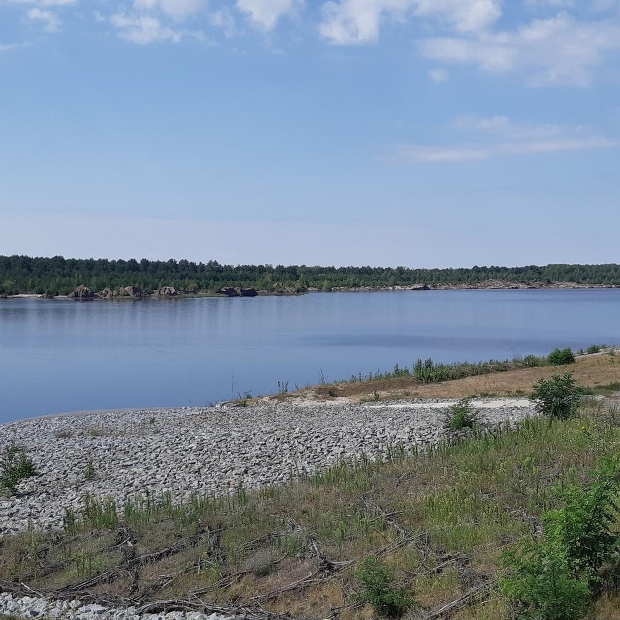
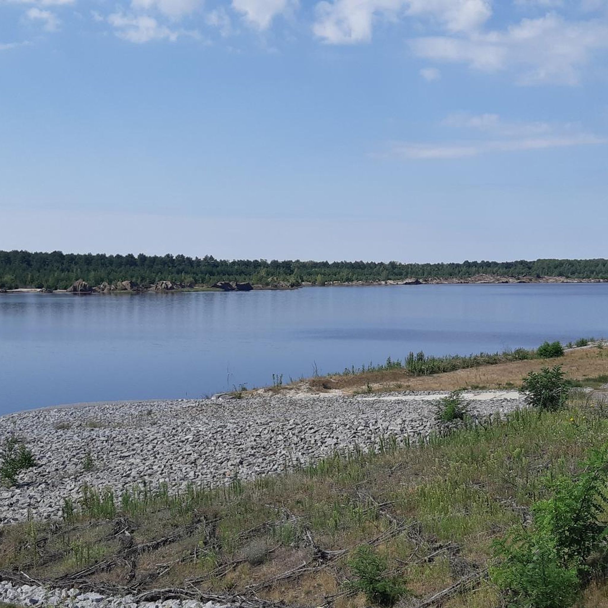
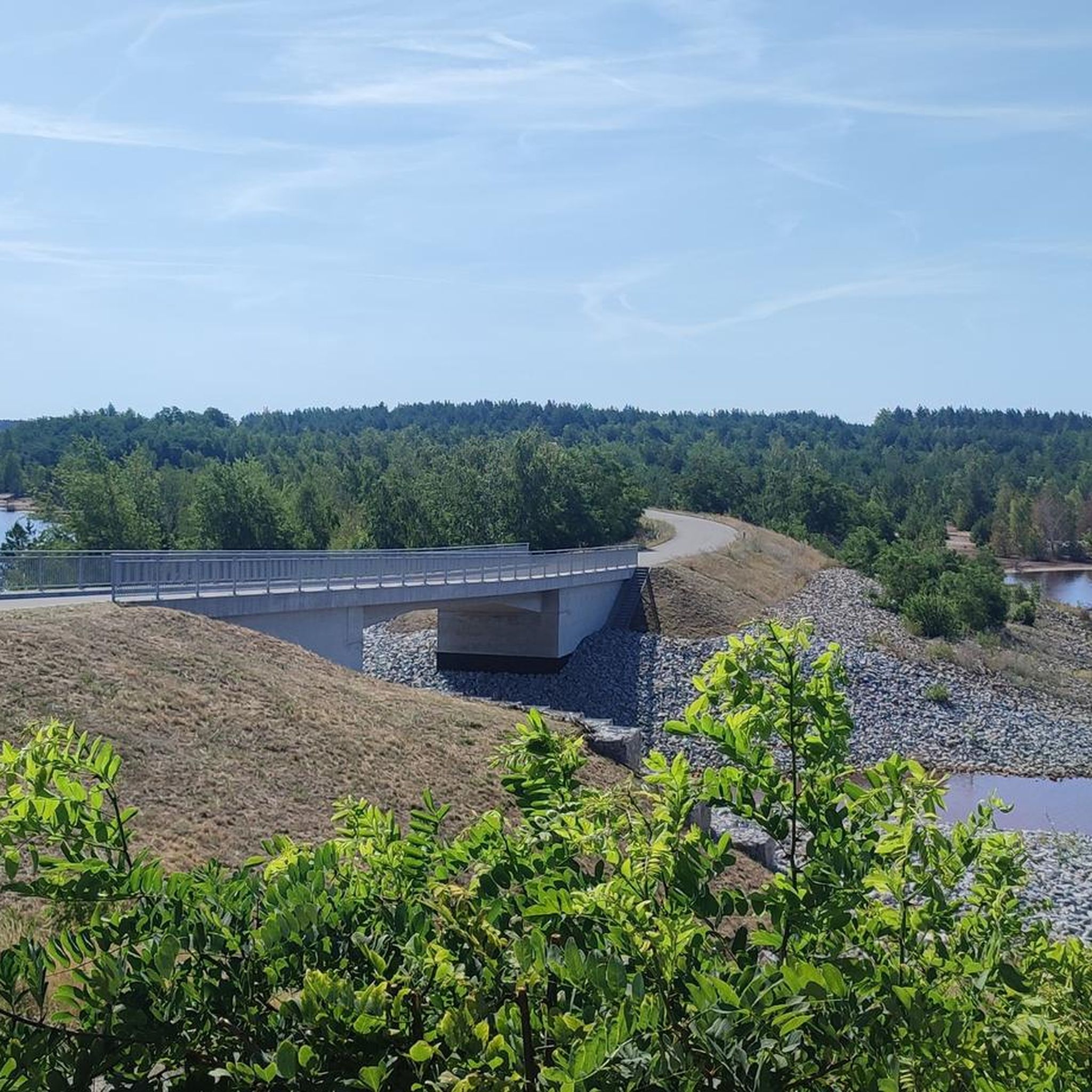
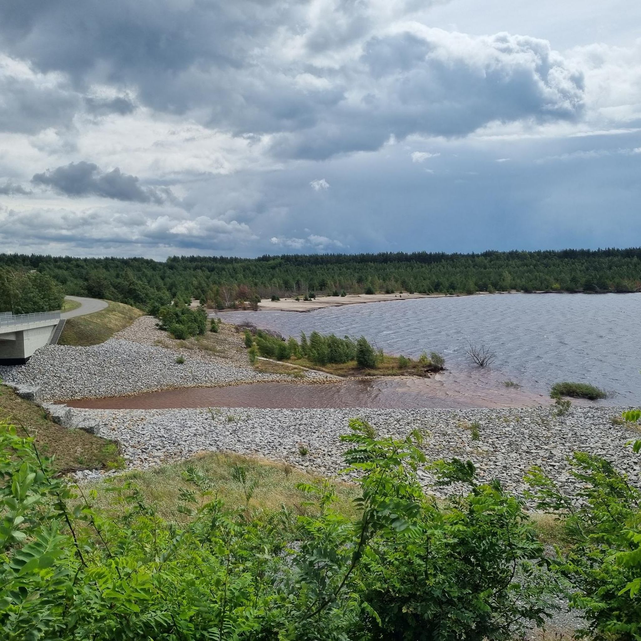
Hiking around Blunoer Südsee (Nordschlauch) offers exploration of an emerging lake landscape, transformed from a former lignite mine. The region is characterized by vast water bodies, waterside paths, green meadows, and dense forests. This area is part of the larger Lusatian Lake District, featuring interconnected lakes and diverse trails. The landscape provides a unique backdrop for outdoor activities, with a focus on nature conservation.
Best hiking trails around Blunoer Südsee (Nordschlauch)
- The most popular hiking route is Bluno Village Church…
Last updated: June 26, 2026
3
hikers
Moderate hike. Good fitness required. Easily-accessible paths. Suitable for all skill levels.
5
hikers
5.05km
01:17
20m
20m
Easy hike. Great for any fitness level. Easily-accessible paths. Suitable for all skill levels.

Sign up for free
1
hikers
Easy hike. Great for any fitness level. Easily-accessible paths. Suitable for all skill levels.
4.7
(3)
26
hikers
Moderate hike. Good fitness required. Easily-accessible paths. Suitable for all skill levels.
5.0
(1)
4
hikers
Moderate hike. Good fitness required. Easily-accessible paths. Suitable for all skill levels.
Get access to more routes and recommendations from other explorers.
Sign up for free
Already have an account?
Our route recommendations are based on thousands of hikes, rides, and runs completed by other people on komoot.
Start today with a free account
Your next adventure awaits.
Login or Signup
Tips from the Community

The Partwitz Lake impresses with its turquoise-blue, clear water and soft sandy beach sections for swimming and relaxing. The lake is already affectionately called the "little Caribbean of Lusatia" by visitors and those seeking relaxation. A holiday home settlement is being created in this unique location. In the first construction phase of Aqua Terra Lausitz, which connects directly to the future harbor, two-story houses with a size of 65 or 78 square meters will be built. These houses are designed for year-round use. Vehicles can be parked directly next to the house. Due to the terracing and the south-west orientation of the large glass surfaces, there is a unique lake view with the most beautiful sunsets in Saxony.
0
0

Around Partwitzer See you will occasionally find access to the water with small bathing spots like this one. So it's worth packing a towel and swimwear!
1
0

Flat beach into the water, therefore also suitable for children. The access is steep, however. Snack bar and boat/SUP rental available.
6
0
Beautiful swimming lake with a snack bar, kayak, SUP and bike rental. Affordable campsite. The only drawback: the toilet is only open when the snack bar is open. You should have your own camping toilet on board for the night and morning.
6
0
There are many small bathing areas, a larger beach with a campsite, kayaks and SUPs as well as bicycles can be rented.
6
0

Please keep the area clean✌🏻
1
0

On April 20, 1945, Spremberg was captured by Soviet troops. Many Red Army soldiers lost their lives in the fighting in and around the city. 72 of the fallen found their final resting place in two collective graves in the Soviet military cemetery in Bluno. In 1949, the small complex on the village square was handed over to the mayor of Bluno by the Soviet command of the Hoyerswerda district, and in February 1979 the sculptor Oehme was given the task of redesigning the memorial complex. In addition to an obelisk made of red marble, the names of the fallen are immortalized in two memorial plaques. The other memorials are dedicated to German victims of World War II. In 2003, the entire complex was lovingly reconstructed by local residents.
0
0

A very pretty little church!
1
0
Frequently Asked Questions
How many hiking trails are available around Blunoer Südsee (Nordschlauch)?
There are over 150 hiking trails in the Blunoer Südsee (Nordschlauch) area, offering a wide range of options for different preferences and fitness levels. These trails allow you to explore the unique emerging lake landscape.
What are the typical difficulty levels of hikes in this region?
The trails around Blunoer Südsee (Nordschlauch) cater to various abilities. You'll find a good mix of easy and moderate routes, with over 90 easy trails and more than 50 moderate options. A few more challenging routes are also available for experienced hikers.
Are there family-friendly hiking options around Blunoer Südsee (Nordschlauch)?
Yes, the region offers many easy walks suitable for families. These trails often lead through green meadows and along waterside paths, providing a pleasant experience for all ages. An example of an easy route is the Bluno Village Church loop from Bluno - Bluń, which is just over 3 miles long.
Can I bring my dog on the hiking trails?
While the region emphasizes a close-to-nature experience, specific regulations for dogs can vary. Generally, dogs are welcome on many trails, but it's always best to keep them on a leash, especially in nature conservation areas or near wildlife. Please be mindful of local signage.
What kind of landscape and natural features can I expect to see?
You'll experience a unique emerging lake landscape, transformed from a former lignite mine. Expect vast water bodies, extensive waterside paths, green meadows, and dense forests. The area is part of the larger Lusatian Lake District, offering scenic views of the shimmering lakes and opportunities to discover local flora and fauna.
Are there circular hiking routes available?
Yes, many of the trails in the Blunoer Südsee (Nordschlauch) area are designed as circular routes, allowing you to start and end at the same point. For instance, the Bluno Village Church – View of Sabrodter Lake loop from Bluno - Bluń is a popular moderate circular hike offering views of the developing lake district.
What are the current accessibility and restriction considerations for hikers?
It's important to note that Blunoer Südsee is currently undergoing flooding and is partly within a restricted area, limiting its full tourist usability at present. While some areas are accessible, others might be closed. The southern shore, in particular, is designated for nature conservation. Always check local signage for current access information.
Is public transport available to reach the hiking areas?
The northern shore of Blunoer Südsee is noted for its good transport links, suggesting some accessibility by public transport. However, given the area's ongoing development and tranquil character, public transport options might be limited. It's advisable to check local bus schedules to specific villages like Bluno or Klein Partwitz before your visit.
Where can I park my car when visiting the trails?
While specific parking locations are not detailed, areas designated for future tourist development, especially along the northern shore, are likely to include parking facilities. When planning your hike, look for designated parking areas near trailheads in villages such as Bluno or Klein Partwitz.
What is the best time of year to go hiking in Blunoer Südsee (Nordschlauch)?
The region offers a pleasant hiking experience throughout the warmer months, from spring to autumn, when the landscape is green and the weather is mild. The emerging lake environment can be particularly beautiful during these seasons. Winter hiking is also possible, though conditions may vary.
What makes hiking around Blunoer Südsee (Nordschlauch) unique?
The uniqueness comes from its transformation from a former lignite mine into a vast, man-made lake landscape. This offers a rare opportunity to witness an evolving environment, with extensive waterside paths, diverse flora and fauna, and connections to the broader Lusatian Lake District, forming Europe's largest man-made water landscape.
What do other hikers say about the trails in this area?
The trails around Blunoer Südsee (Nordschlauch) are highly rated by the komoot community, with an average score of 4.5 stars from over 800 reviews. Hikers often praise the tranquil atmosphere, the unique lake views, and the well-maintained paths that allow for a close-to-nature experience.
Are there options for longer hikes that connect to other lakes?
Yes, Blunoer Südsee is part of the larger Lusatian Lake District, which features extensive cycling and hiking routes like the 186-kilometer Seenland Route. Plans include connecting Blunoer Südsee via canals to neighboring lakes such as Partwitzer See, Neuwieser See, and Sabrodter See, offering potential for longer, multi-day tours. You can explore nearby lakes with routes like the Partwitzer See Beach – Beach at Partwitzer Lake loop from Klein Partwitz - Bjezdowy.
Most popular routes around Blunoer Südsee (Nordschlauch)

Get inspired with the komoot mobile app


Explore more
Browse the best Hikes in other regions.
