The best mountain hikes around Dam Gottleuba
4.7
(6)
17
hikers
9
hikes
Mountaineering routes around Dam Gottleuba traverse a diverse landscape situated at the northern foot of the Ore Mountains, bordering Saxon Switzerland. This region is characterized by a densely wooded low mountain range, featuring varied terrain and significant elevation changes. The area offers a network of trails that navigate through rock formations, gorges, and natural caves, providing a challenging environment for mountaineers.
Best mountaineering routes around Dam Gottleuba
- The most popular mountaineering route is Eiserne Kammweg Ladder loop from Hartmannsbach,…
Last updated: September 28, 2026
5.0
(1)
1
hikers
3.01km
00:56
100m
100m
Easy mountaineering route. Great for any fitness level. Easily-accessible paths. Suitable for all skill levels.
2
hikers
9.40km
02:40
200m
200m
Moderate mountaineering route. Good fitness required. Mostly accessible paths. Sure-footedness required.

1
hikers
6.64km
01:58
170m
170m
Moderate mountaineering route. Great for any fitness level. Mostly accessible paths. Sure-footedness required.
5.0
(1)
4
hikers
5.24km
01:34
130m
130m
Hard mountaineering route. Great for any fitness level. Sure-footedness, sturdy shoes and alpine experience required.
5.0
(1)
3
hikers
5.25km
01:33
150m
150m
Moderate mountaineering route. Great for any fitness level. Mostly accessible paths. Sure-footedness required.
Get access to more routes and recommendations from other explorers.
Already have an account?
Our route recommendations are based on thousands of hikes, rides, and runs completed by other people on komoot.
Start today with a free account
Your next adventure awaits.
Tips from the Community

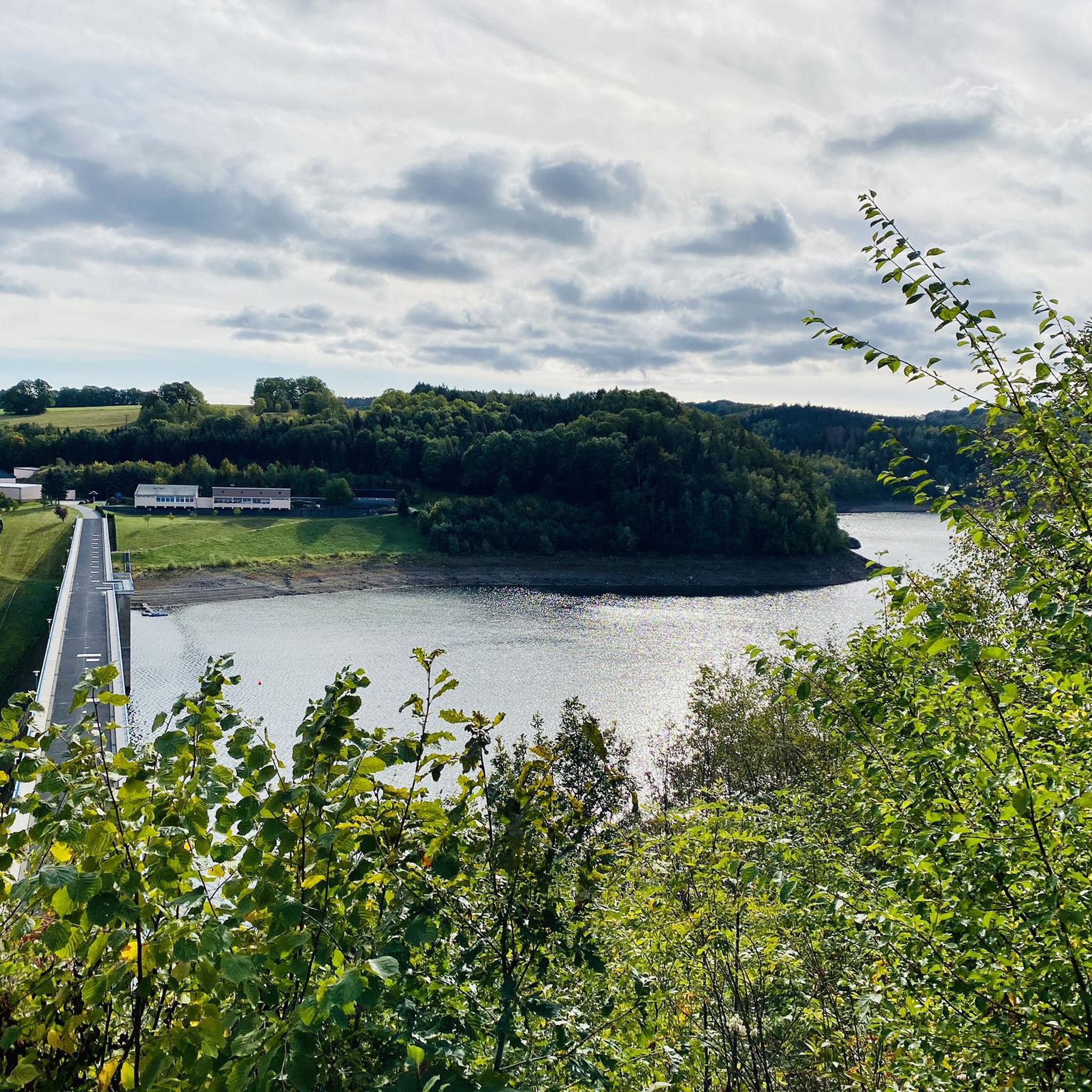
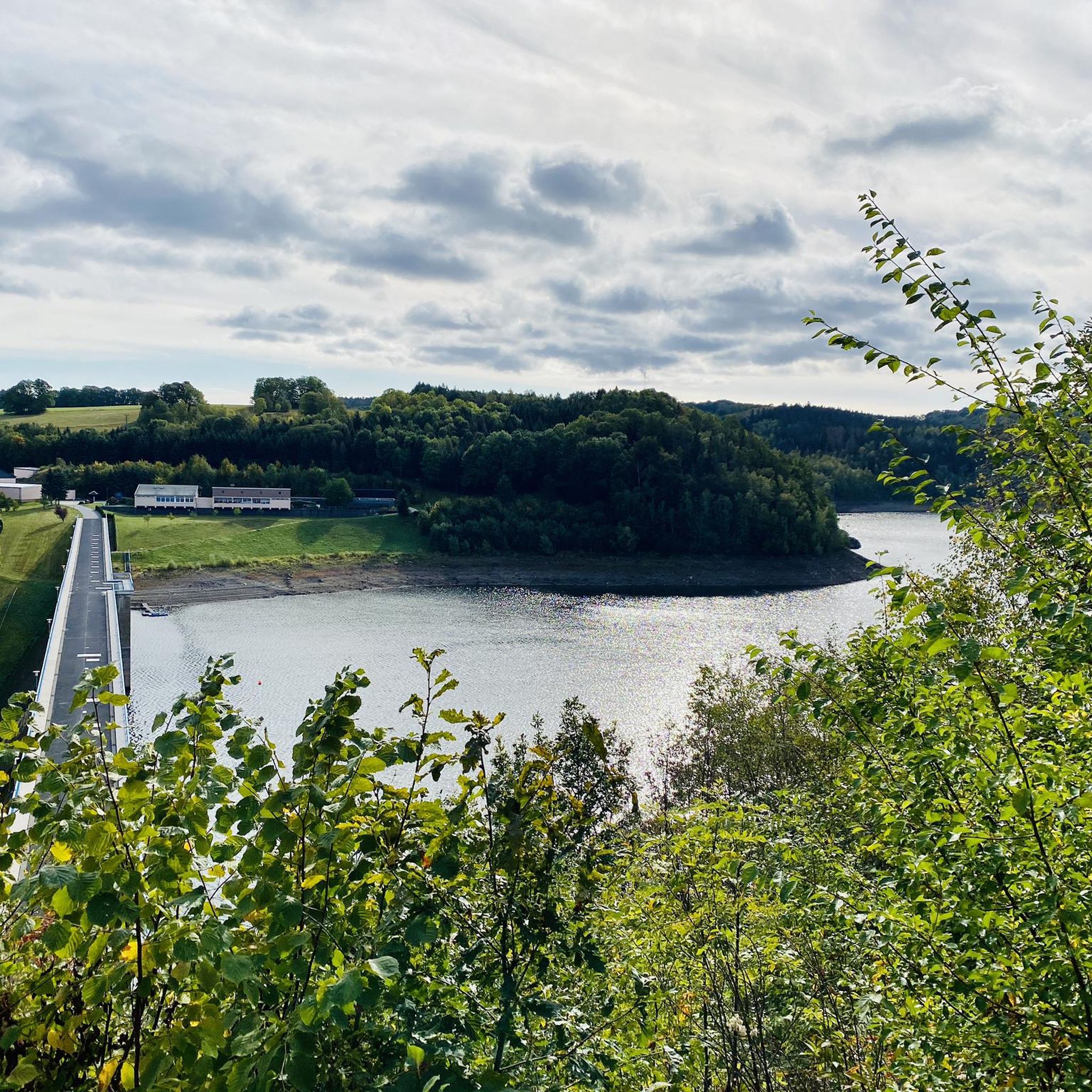
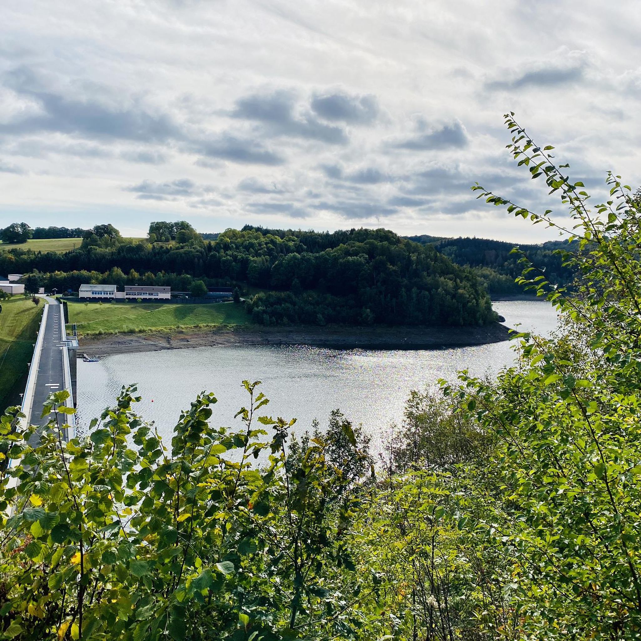
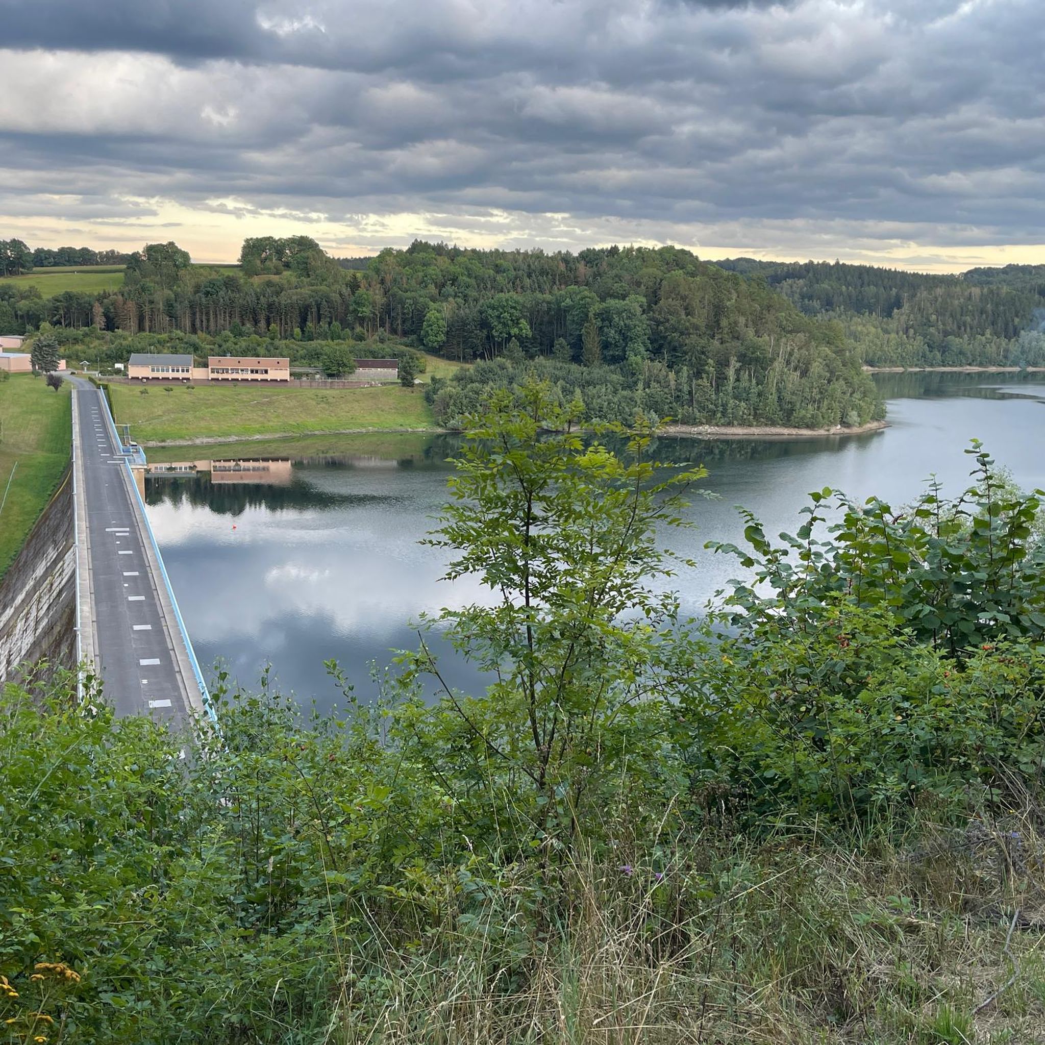
Fantastic view from above.. but even if this corner is meant for young and old… keep an eye on the little ones and hold their hands
4
0
Campers and normal vehicles are classified into different price categories here
5
0
Here it definitely makes sense to put the backpack down at the bottom of the pile.. it gets tight at the top
6
0

It is one of over 1000 climbing rocks in the Elbe Sandstone Mountains.
0
0
It is one of over 1000 climbing rocks in the Elbe Sandstone Mountains.
0
0
It is one of over 1000 climbing rocks in the Elbe Sandstone Mountains.
0
0
It is one of over 1000 climbing rocks in the Elbe Sandstone Mountains.
0
0
It is one of over 1000 climbing rocks in the Elbe Sandstone Mountains.
0
0
Frequently Asked Questions
How many mountaineering routes are available around Dam Gottleuba?
There are 10 mountaineering routes around Dam Gottleuba listed on komoot. These routes offer a variety of experiences, from easy paths to more challenging ascents through the region's unique landscape.
What are the difficulty levels of mountaineering routes in the Dam Gottleuba area?
The routes around Dam Gottleuba cater to various skill levels. You'll find 1 easy route, 5 moderate routes, and 4 difficult routes, ensuring options for both beginners and experienced mountaineers.
What makes mountaineering around Dam Gottleuba unique?
Mountaineering in Dam Gottleuba is defined by its diverse landscape, situated at the northern foot of the Ore Mountains and bordering Saxon Switzerland. You'll encounter densely wooded low mountain ranges, unique rock formations, deep gorges, and even opportunities for climbing adventures within rock labyrinths and caves.
What do other mountaineers say about the routes here?
The mountaineering routes around Dam Gottleuba are highly rated by the komoot community, with an average score of 4.7 stars from 6 reviews. Users often praise the varied terrain, scenic viewpoints, and the challenging yet rewarding nature of the trails.
Are there any easier mountaineering routes for beginners?
Yes, there is an easy mountaineering route suitable for beginners. Consider the Eiserne Kammweg Ladder loop from Hartmannsbach, which is 1.9 miles (3.0 km) long and offers a direct experience of the region's wooded landscape.
Are there circular mountaineering routes available?
Many of the mountaineering routes around Dam Gottleuba are designed as loops. For example, the Tisa Walls (Tiské stěny) – View of the Tisa Walls loop from Rájec is a moderate 5.9-mile circular path offering views of unique rock formations.
What kind of views can I expect on these mountaineering routes?
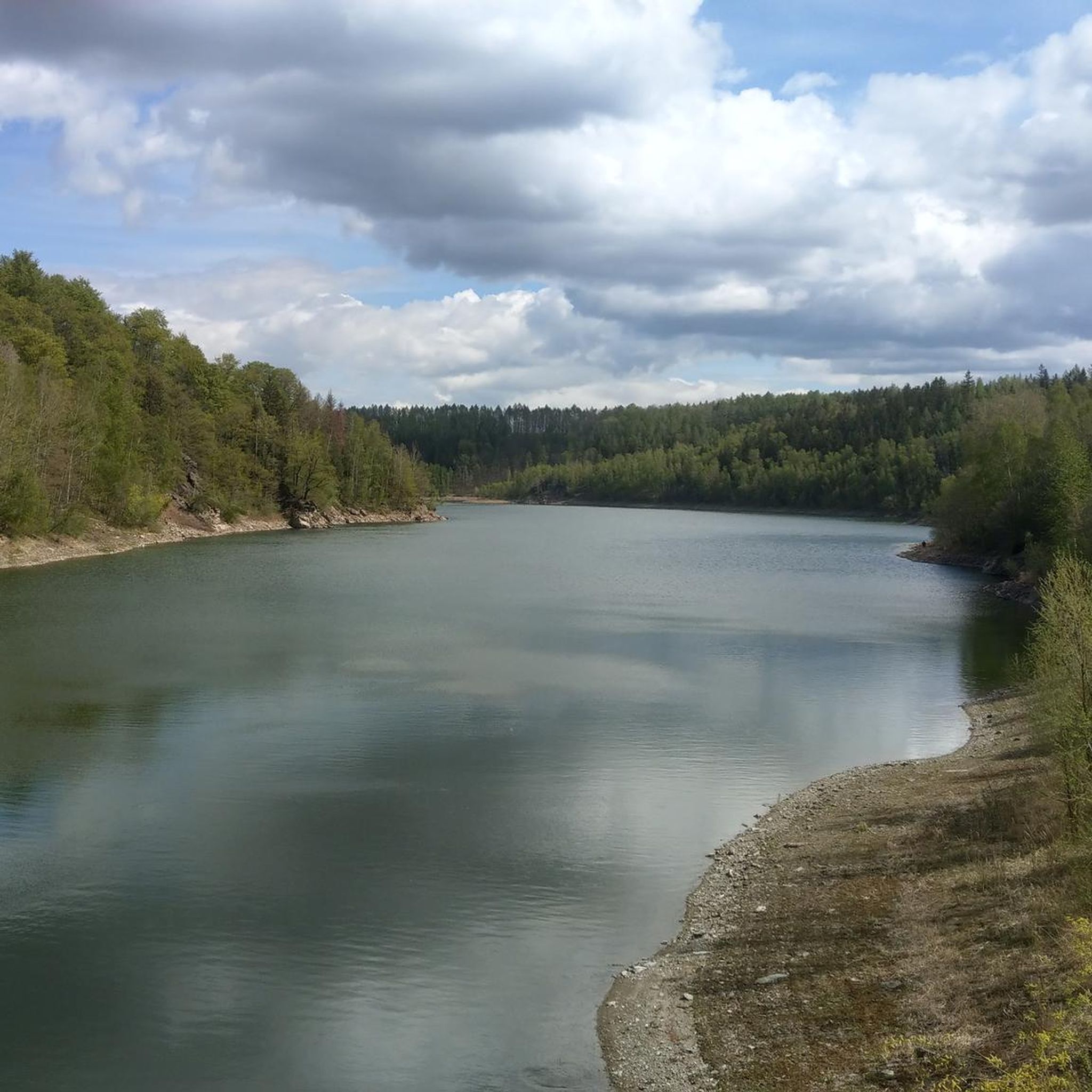
You can expect magnificent landscape views across the densely wooded low mountain range. Many routes lead to dazzling viewpoints such as Hartmannsbach, Jagdstein, Hochstein, and Augustusberg, which offers views of the Gottleuba Reservoir. You'll also see unique rock formations and the Gottleuba Dam itself.
Are there any interesting natural features or landmarks to see along the routes?
Absolutely. The region is rich in natural features like rock formations, natural caves, and gorges. You might encounter rock labyrinths, the Napoleonstein, or the Spanghorn viewpoint. The Gottleuba Dam, the second-highest in Saxony, also offers public lookout points.
Can I bring my dog on the mountaineering trails?
While many trails in the region are dog-friendly, it's always best to check specific regulations for each route or protected area. Given the rugged terrain and potential for climbing sections, ensure your dog is fit for the challenge and kept on a leash where required.
When is the best time of year to go mountaineering in Dam Gottleuba?
The densely wooded low mountain range landscape makes Dam Gottleuba appealing across seasons. Spring and autumn offer pleasant temperatures and vibrant foliage. Summer is great for longer days, while winter can provide a unique, snowy mountaineering experience, though some routes might be more challenging due to conditions.
Are there options for parking near the mountaineering trailheads?
Yes, parking is generally available near popular trailheads and attractions around Dam Gottleuba. For specific routes, it's advisable to check the tour details on komoot for parking information closest to your starting point.
Can I reach mountaineering routes around Dam Gottleuba by public transport?
Public transport options exist to reach the general Dam Gottleuba area, particularly to towns like Bad Gottleuba-Berggießhübel. From there, local buses or a short walk might connect you to various trailheads. Planning your journey in advance with local transport schedules is recommended.
Where can I find refreshments or accommodation near the mountaineering routes?
The nearby Kneipp spa town of Berggießhübel offers various options for refreshments and accommodation. You'll find cafes, pubs, and guesthouses there, providing a convenient base for your mountaineering adventures.
Most popular routes around Dam Gottleuba

Get inspired with the komoot mobile app


Explore more
Browse the best Mountain Hikes & Routes in other regions.
