The best cycling routes around Little Rock
4.8
(22)
339
riders
13
rides
Touring cycling around Little Rock offers a diverse landscape that blends urban environments with natural features. The region is characterized by the Arkansas River, which provides extensive riverside trails, and the presence of the Ouachita Mountains to the west, contributing to varied elevation profiles. Cyclists can find routes through city parks, along riverbanks, and into more challenging hilly terrain. The area includes flat sections in the Arkansas Delta to the east and more undulating paths around lakes and state parks.
Best touring cycling routes around Little Rock
- The most popular touring cycling route is Two Rivers Park Bridge – Big Dam Bridge loop from Canoe and Bike Rental, a 20.4 miles (32.9 km) easy trail that takes 1 hour 55 minutes to complete, featuring views of the Arkansas River and its iconic bridges.
- Another top favourite among local touring cyclists is Old State House Museum – Big Dam Bridge loop from William J Clinton Presidential Library, an easy 17.6 miles (28.3 km) path. This route offers a blend of urban landmarks and scenic riverfront cycling.
- Local touring cyclists also love the Allsopp Park South – Allsopp Park South loop from Pulaski County, a 14.3 miles (23.0 km) trail leading through urban park settings, often completed in about 1 hour 19 minutes.
- Touring cycling around Little Rock is defined by expansive river trails, urban park networks, and views of the Ouachita Mountains. The network offers options for different ability levels, from easy riverside loops to moderate routes with more elevation gain.
- The routes in Little Rock are highly rated by the komoot community with an average score of 4.6 stars from more than 15 reviews. More than 300 touring cyclists have used komoot to explore Little Rock's varied terrain.
Last updated: June 30, 2026
5.0
(6)
75
riders
32.9km
01:54
140m
140m
Easy bike ride. Great for any fitness level. Mostly paved surfaces. Suitable for all skill levels.
5.0
(8)
80
riders
Moderate bike ride. Good fitness required. Mostly paved surfaces. Suitable for all skill levels.

Sign up for free
4.3
(3)
28
riders
24.5km
01:30
190m
190m
Moderate bike ride. Good fitness required. Mostly paved surfaces. Suitable for all skill levels.
19
riders
28.7km
01:42
120m
120m
Easy bike ride. Great for any fitness level. Mostly paved surfaces. Suitable for all skill levels.
10
riders
Easy bike ride. Great for any fitness level. Mostly paved surfaces. Suitable for all skill levels.
Get access to more routes and recommendations from other explorers.
Sign up for free
Already have an account?
Our route recommendations are based on thousands of hikes, rides, and runs completed by other people on komoot.
Start today with a free account
Your next adventure awaits.
Login or Signup
Tips from the Community

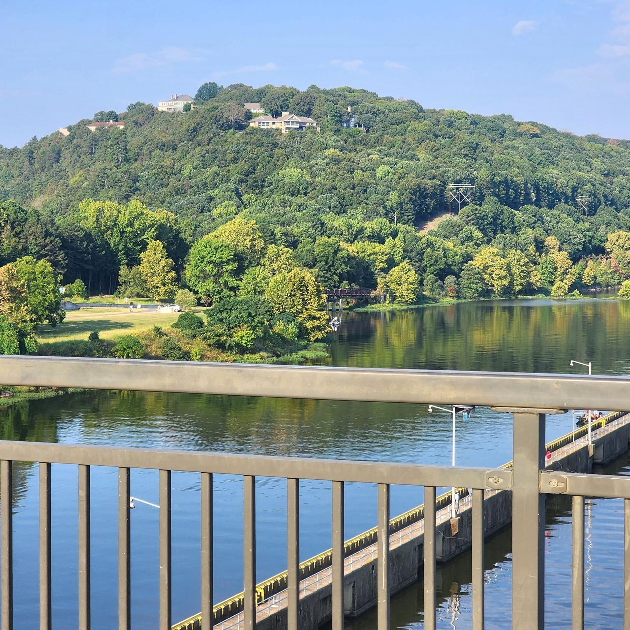
The Two Rivers Park Bridge is a modern design combining concrete and steel, creating a sturdy and attractive structure. The bridge has a considerable length, allowing pedestrians and cyclists to easily move between the two banks of the river. https://spacewaves.io
0
0

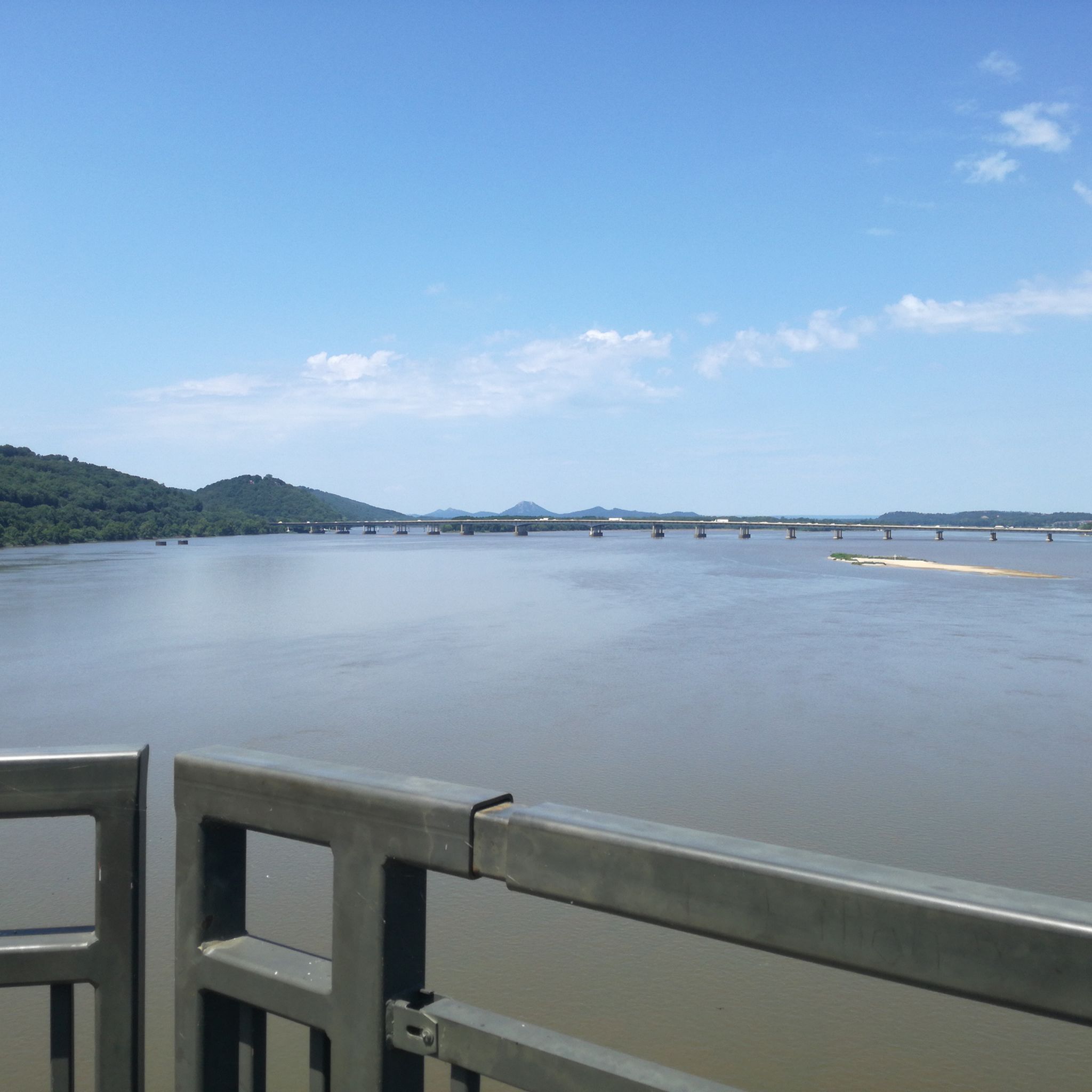
The Arkansas River Trail is pretty much the perfect bike trail, although active efforts are underway to make it even better and more accessible to all users. In the meantime, though, it remains part of a more than 80-mile loop that traverses both banks of the Arkansas River, including a couple of lovely pedestrian bridges and access to walkable parts of downtown.
0
0

Big Dam Bridge was Originally planned to be called the Murray Bridge, but that name did not stick. The bridge streches over the Arkansas River and Murray Lock and Dam, connecting Little Rock and North Little Rock. Open exclusively to pedestrians and cyclists, it spans 4,226 feet, making it the longest pedestrian/bicycle bridge in North America never used by trains or vehicles. Rising up 90 feet above the river, the bridge gives great views and connects Murray Park to Cook's Landing Park. Opened in 2006, it cost about $12.8 million to build and hosts popular races, earning awards for its design and contribution to the community's health and economy.
0
0

The Arkansas River Trail is a great trail that runs on both sides of the river. In total, the trail is almost 16-miles long. This section is on the North Little Rock section and runs along the river, with views of Little Rock in the distance.
0
0

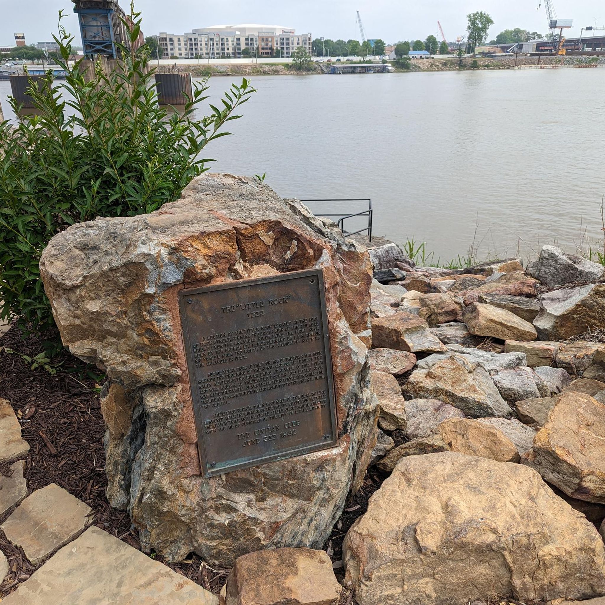
Crossing the Riverfront Park is an interesting alternative (3 routes: upper middle and lower) to the busy Prédisent Clinton Avenue. My favorite restaurant: Le Stickyz
0
0

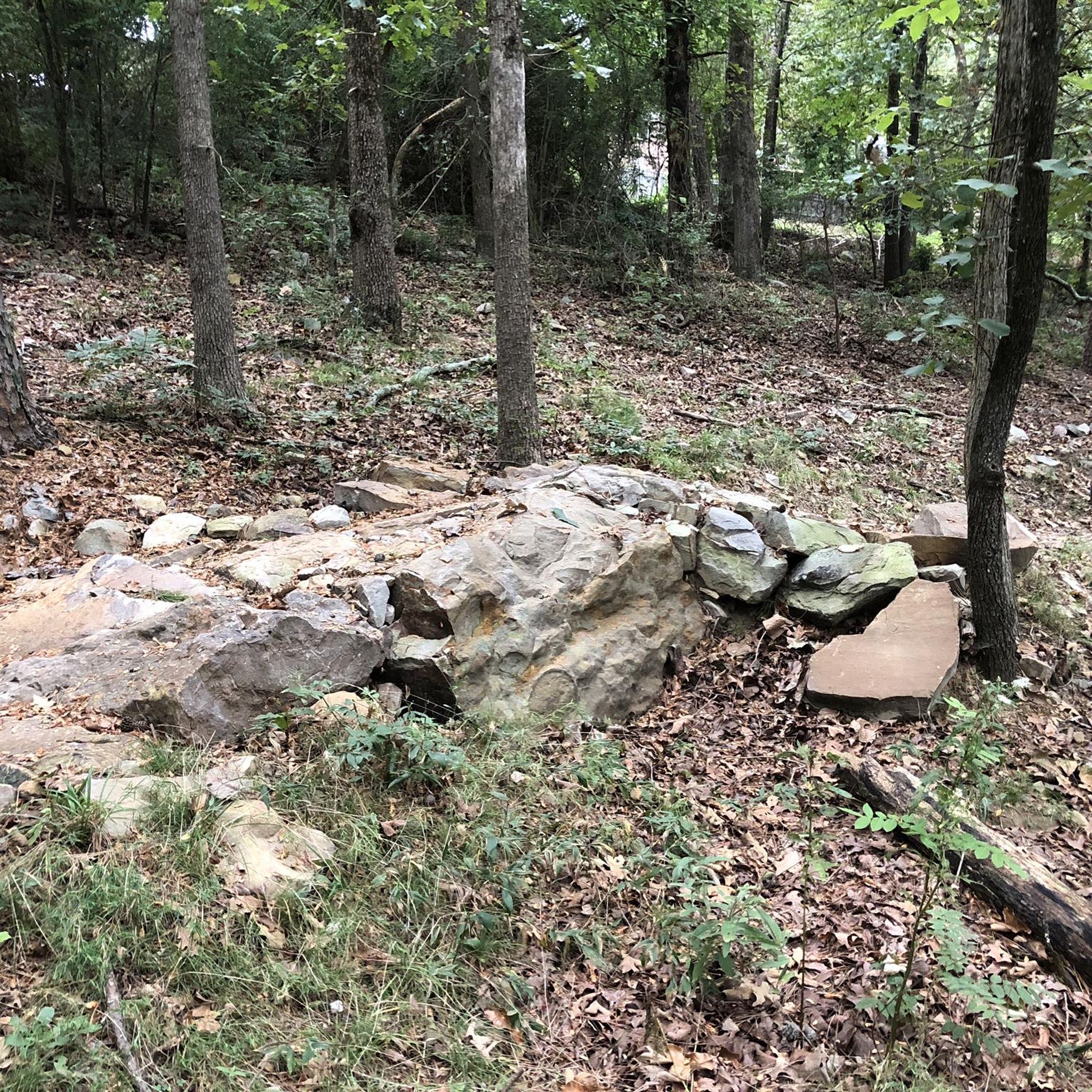
Allsopp Park is divided into two sections, this being the southern section. This portion of the park has 2 miles of paved multi-use trails. The northern portion of the park can be reached via Beechwood Street.
0
0
The Arkansas River Trail is a 15.6-mile paved multi-use trail that forms a long loop along the shores of the Arkansas River through the city of Little Rock.
0
0
The Big Dam Bridge is the longest bridge built specifically for pedestrians and cyclists in North America, spanning 4,226 feet across the Arkansas River.
0
0
Frequently Asked Questions
How many touring cycling routes can I find around Little Rock?
Little Rock offers a variety of touring cycling routes, with 14 routes currently available on komoot. These include 7 easy routes and 7 moderate routes, catering to different skill levels.
What kind of terrain can I expect on touring cycling routes in Little Rock?
The terrain around Little Rock is quite diverse. You'll find extensive flat sections along the Arkansas River Trail and in the Arkansas Delta to the east. For more challenging rides with elevation gains, routes around Lake Maumelle and with views of the Ouachita Mountains offer undulating paths. Many routes blend urban environments with natural riverbanks and city parks.
Are there any family-friendly touring cycling routes in Little Rock?
Yes, many of the routes along the Arkansas River Trail are suitable for families due to their relatively flat and paved surfaces. The trail system connects numerous parks and attractions, providing an enjoyable experience for all ages. Routes like Two Rivers Park Bridge – Big Dam Bridge loop from Canoe and Bike Rental are generally easy and offer scenic views.
What are the best times of year to go touring cycling in Little Rock?
Little Rock enjoys mild year-round weather, making it suitable for cycling in most seasons. Spring is particularly popular when daffodils bloom around areas like Wye Mountain, and fall offers vibrant foliage, especially around Lake Maumelle and the Ouachita Mountains. Summers can be warm, so early morning or late afternoon rides are often preferred.
What are some scenic highlights or landmarks I can see along the touring cycling routes?
Little Rock's touring routes offer numerous scenic highlights. You can cycle across iconic structures like the Big Dam Bridge, which is the longest pedestrian and cycling-intended bridge in North America, and the Two Rivers Park Bridge. The Arkansas River Trail itself provides stunning river views, and you might pass by the Murray Lock and Dam or Julius Breckling Riverfront Park.
Are there any circular touring cycling routes available?
Yes, many of the popular touring routes in Little Rock are loops, allowing you to start and end at the same point. Examples include the Two Rivers Park Bridge – Big Dam Bridge loop from Canoe and Bike Rental and the longer Big Dam Bridge – Two Rivers Park Bridge loop from Little Rock, which covers over 50 miles.
Where can I find parking for touring cycling routes in Little Rock?
Many parks and trailheads along the Arkansas River Trail system offer dedicated parking facilities. For instance, areas near Two Rivers Park, the Big Dam Bridge, and various points along the riverfront often have accessible parking for cyclists. It's advisable to check specific starting points for the most convenient parking options.
What do other touring cyclists enjoy most about cycling in Little Rock?
The touring cycling routes in Little Rock are highly rated by the komoot community, with an average score of 4.6 stars. Cyclists frequently praise the expansive river trails, the blend of urban and natural scenery, and the well-maintained paths that offer options for various ability levels. The iconic bridges and views of the Arkansas River are often highlighted as favorites.
Are there any routes that offer views of the Ouachita Mountains?
Yes, for routes with significant elevation and mountain views, consider areas west of Little Rock. While not directly on the komoot touring routes provided, the broader region around Lake Maumelle, including the Wye Mountain Loop and Thornburg Loop, offers stunning vistas of the Ouachita Mountains, especially during spring blooms or fall foliage.
Can I find more challenging touring cycling routes in Little Rock?
While many routes are easy, there are moderate options that provide more of a challenge. For example, the Big Dam Bridge – Two Rivers Park Bridge loop from Little Rock is a moderate 52.9-mile route with over 1200 feet of elevation gain. For even greater challenges, the surrounding areas like the Wye Mountain Loop offer significant climbs and longer distances.
Are there any city parks with touring cycling access?
Little Rock boasts over 60 city parks, and many are integrated into the cycling network. For instance, Allsopp Park South – Allsopp Park South loop from Pulaski County offers a pleasant ride through a park setting. Two Rivers Park is another excellent option, accessible via the Two Rivers Bridge from the Arkansas River Trail, providing a natural escape within the city.
Most popular routes around Little Rock
Most popular attractions around Little Rock

Get inspired with the komoot mobile app


Explore more
Browse the best Cycling routes in other regions.
