The best walks and hikes around Valencia West
4.9
(52)
731
hikers
58
hikes
Hiking around Valencia West offers diverse landscapes, characterized by mountain ranges, river gorges, and natural parks. The region features rugged, pine-clad mountains, deep gorges, and varied ecosystems including forests and wetlands. These natural features provide a range of terrain for outdoor activities.
Best hiking trails around Valencia West
- The most popular hiking route is Cascabel Trail and Bittersweet Trail loop — Tucson Mountain Park, a 5.3 miles (8.6 km) trail that takes 2 hours 18 minutes to complete. This…
Last updated: May 20, 2026
5.0
(3)
9
hikers
8.55km
02:18
110m
110m
Hike the moderate 5.3-mile Cascabel, Bittersweet, and Sunset Pass Trails Loop for panoramic desert views in Tucson Mountains.
5.0
(1)
3
hikers
6.77km
02:00
190m
200m
Hike the easy 4.2-mile Starr Pass and Sarasota Trail Loop in Tucson Mountain Park for classic Sonoran Desert views and saguaros.

Sign up for free
2
hikers
6.86km
02:38
320m
320m
This challenging 4.3-mile hike to Cat Mountain in Tucson Mountain Park offers panoramic views of the Sonoran Desert.
5.0
(2)
3
hikers
10.8km
02:58
160m
160m
Hike the moderate 6.7-mile Sunset Pass and 360 Vista Trail Loop in Tucson Mountain Park, offering expansive desert views and dog-friendly pa
2
hikers
11.4km
03:10
210m
210m
Hike the moderate 7.1-mile Starr Pass Loop in Tucson Mountain Park, featuring saguaro cacti and panoramic views of Tucson and Mt. Lemmon.
Get access to more routes and recommendations from other explorers.
Sign up for free
Already have an account?
Our route recommendations are based on thousands of hikes, rides, and runs completed by other people on komoot.
Start today with a free account
Your next adventure awaits.
Login or Signup
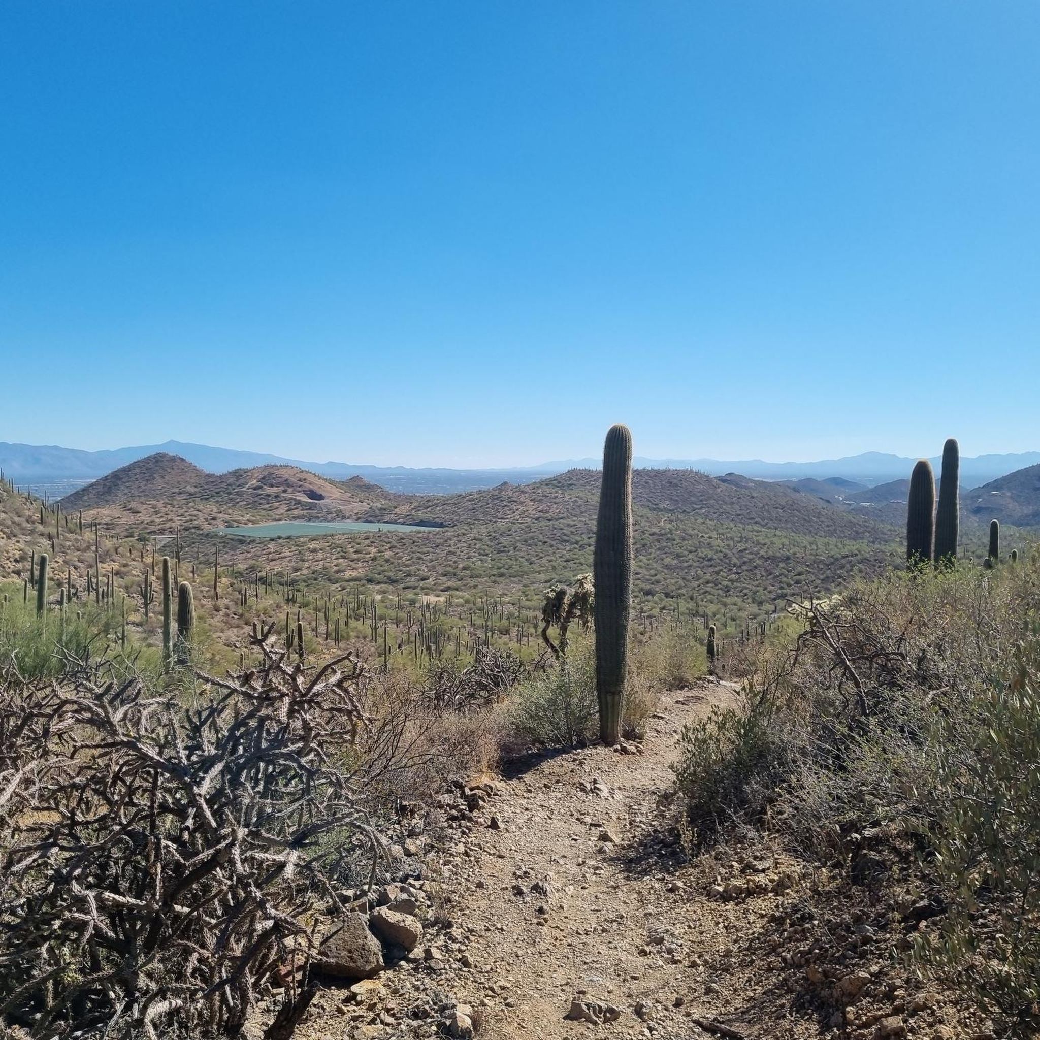
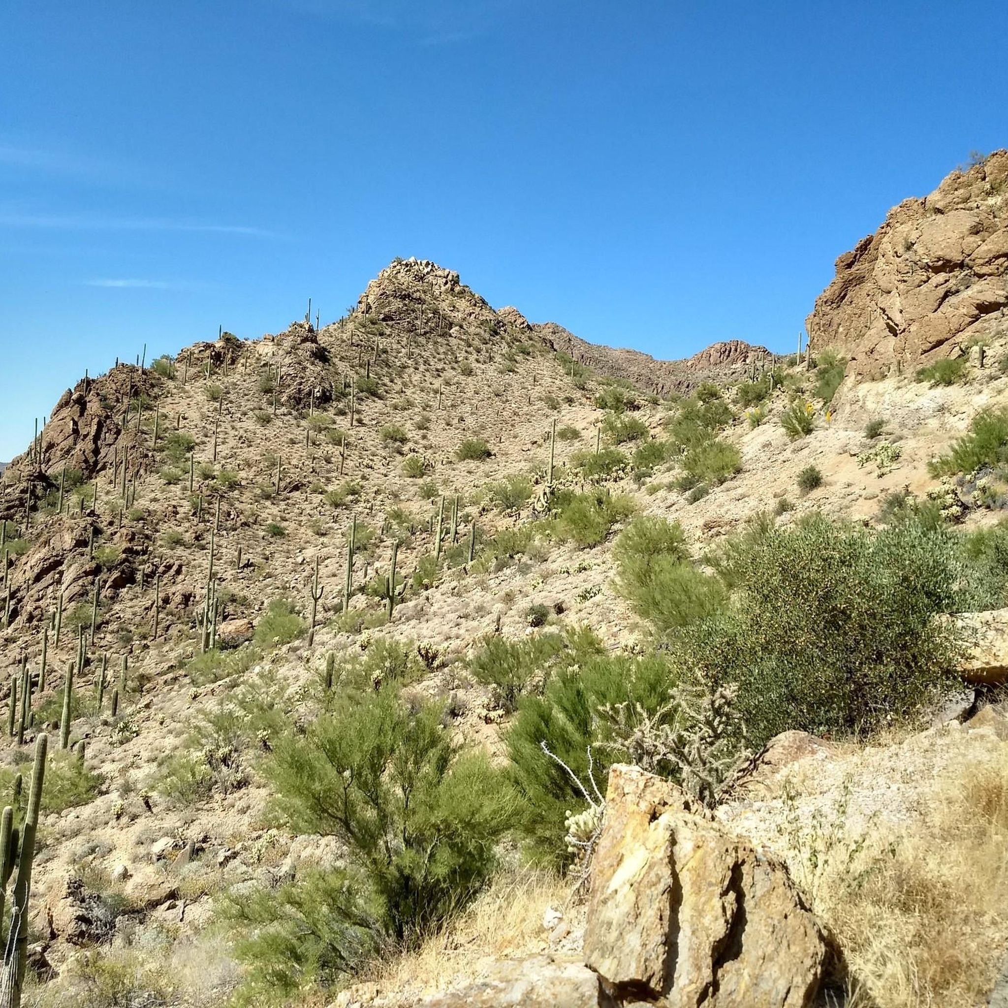
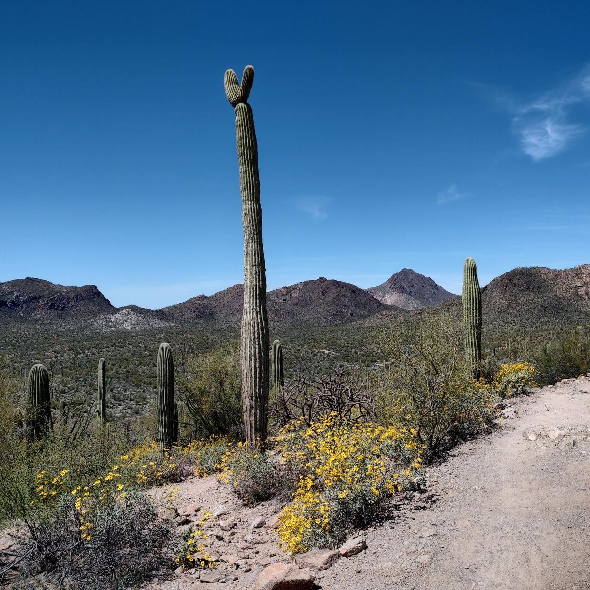
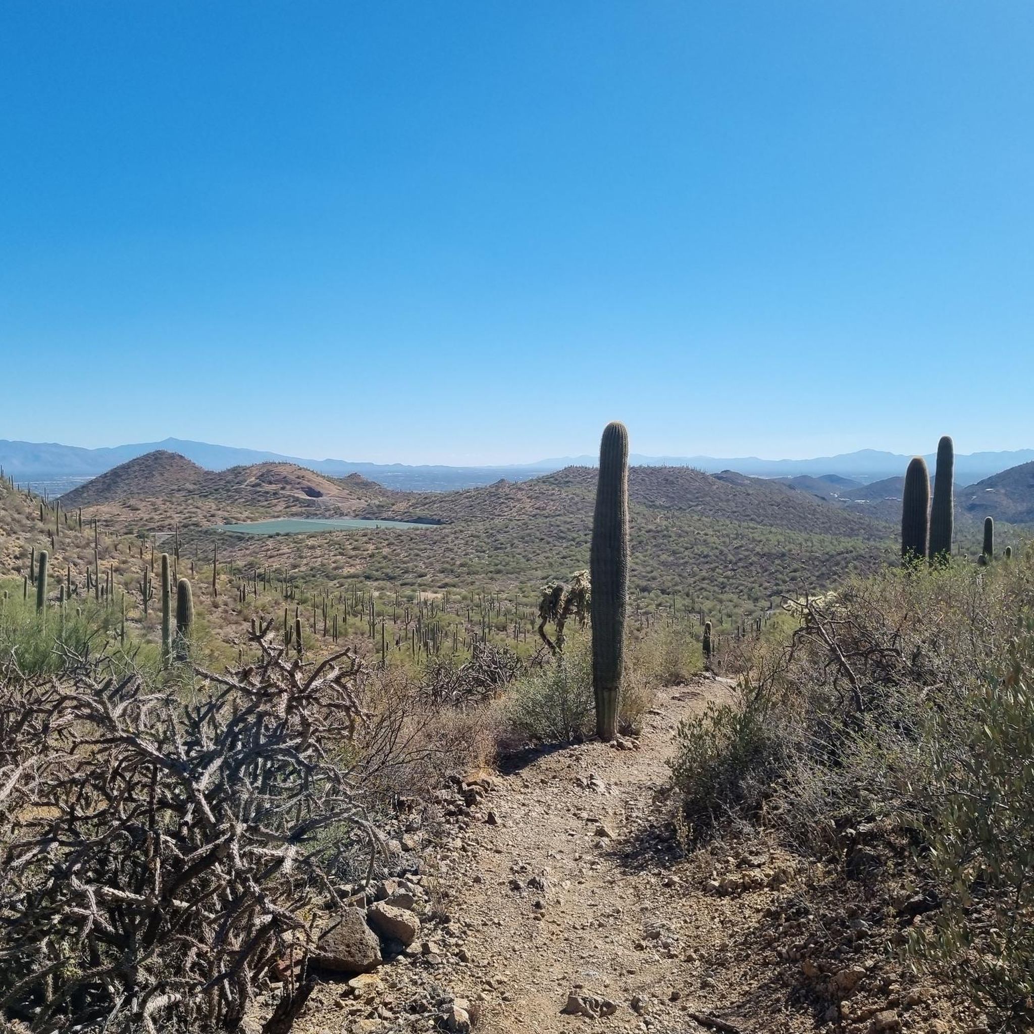
Tips from the Community

Easy hike over undulating terrain with views over Tucson. Dog friendly!
0
0
Frequently Asked Questions
How many hiking trails are available in Valencia West?
There are over 40 hiking routes available in Valencia West, catering to various skill levels. You'll find a good mix, with 15 easy routes, 21 moderate routes, and 4 more challenging options.
What is the best time of year to go hiking in Valencia West?
The region offers pleasant hiking conditions for much of the year. Spring and autumn are ideal, with mild temperatures and vibrant landscapes. Winter hiking is also possible, especially in the lower elevations, while summer hikes are best enjoyed early in the morning or late afternoon to avoid the midday heat.
Are there family-friendly hiking options in Valencia West?
Yes, Valencia West has several routes suitable for families. The region's diverse natural parks and river gorges often feature easier paths. For example, the Sarasota Trail & Bobcat Ridge loop is an easy 4.2-mile path offering scenic views that many families enjoy.
Can I bring my dog on the hiking trails in Valencia West?
Many trails in Valencia West are dog-friendly, but it's always recommended to check specific park regulations or route details beforehand. Generally, dogs on a leash are welcome in most natural areas. Be sure to carry water for your pet, especially during warmer months.
What kind of natural attractions can I expect to see along the trails?
Valencia West is rich in natural beauty. You can explore dramatic river gorges, discover natural pools like El Pou Clar in Ontinyent, or witness waterfalls such as those at Chorradores de Navarrés and Cueva del Turche. The region also boasts diverse ecosystems within natural parks like Sierra Calderona, featuring pine-clad mountains and sweeping views. You might also encounter unique geological formations like Saguaro Cacti.
Are there any circular hiking routes in Valencia West?
Yes, there are several circular routes available. For instance, the Cascabel Trail and Bittersweet Trail loop is a popular moderate circular hike. Another option is the 360 Vista & Bittersweet Trails loop, which offers a longer circular experience.
What do other hikers enjoy most about hiking in Valencia West?
The area is highly rated by the komoot community, with an average score of 4.9 stars from over 29 reviews. Hikers often praise the diverse landscapes, from rugged mountains to serene river gorges, and the variety of trails suitable for different fitness levels. The scenic viewpoints and well-maintained paths are frequently highlighted.
Are there any historical or cultural sites accessible via hiking trails?
Many routes in Valencia West incorporate historical elements. You can find ancient Moorish trails, particularly in areas like La Vall de Gallinera, which wind through cherry groves and terraced hillsides. Some trails in Sierra Espadán also pass by ancient castles, farms, and Iberian settlements, adding a cultural dimension to your hike.
What are some good options for beginner hikers in Valencia West?
Beginners can find many accessible trails. The Sarasota Trail & Bobcat Ridge loop is an easy 4.2-mile path that provides a great introduction to the region's scenery without significant elevation gain. Look for routes marked as 'easy' in the komoot guide for more suitable options.
Where can I find information about public transport and parking for trailheads?
While specific public transport options vary by trailhead, many popular hiking areas like Sierra Calderona Natural Park or the Chulilla Hanging Bridges have designated parking facilities. For detailed information on reaching specific trailheads by public transport or finding parking, it's best to consult local tourist information or park websites. For general information about nature activities in the region, you can visit Visit Valencia.
Are there places to eat or stay near the hiking areas in Valencia West?
Yes, many towns and villages near popular hiking spots offer amenities. For example, areas around Chelva, Chulilla, and within the Sierra Calderona Natural Park have cafes, restaurants, and accommodation options. These places provide a convenient base for exploring the trails and enjoying local cuisine.
Most popular attractions around Valencia West

Get inspired with the komoot mobile app


Explore more
Browse the best Hikes in other regions.
