The best road cycling routes around Sun City
4.8
(21)
402
riders
35
rides
Road cycling around Sun City is characterized by its dedicated cycling infrastructure and access to the Sonoran Desert landscape. The region features well-established, marked bicycle routes, including the Southern, Central, and Northern Loops, which offer varied distances. Terrain is generally flat to gently rolling, with well-paved surfaces suitable for road cyclists. This area provides a straightforward environment for exploring the community and its surroundings.
Best road cycling routes around Sun City
- The most popular road cycling route is Peoria to Lake Pleasant loop — Lake Pleasant Regional Park, a 58.3 miles (93.8 km) moderate trail that takes 4 hours 9 minutes to complete. This route offers views of the Sonoran Desert as it approaches Lake Pleasant Regional Park.
- Another top favourite among local road cyclists is Rio Vista Community Park loop from Willowbrook Golf Course, a moderate 28.1 miles (45.3 km) path. This route explores urban parks and local amenities within Sun City.
- Local road cyclists also love the Arizona Canal Trail – Rio Vista Community Park loop from State Farm Stadium, a 31.0 miles (49.9 km) trail leading through the Arizona Canal Trail, often completed in about 2 hours 5 minutes.
- Road cycling around Sun City is defined by well-paved surfaces, dedicated marked loops, and the surrounding Sonoran Desert landscape. The network offers options for various ability levels, from easy rides to more challenging moderate routes.
- The routes in Sun City are highly rated by the komoot community with an average score of 4.4 stars from more than 20 reviews. More than 400 road cyclists have used komoot to explore Sun City's varied terrain.
Last updated: July 7, 2026
3
riders
93.8km
04:09
590m
590m
The Peoria to Lake Pleasant loop offers a fantastic road cycling experience through the heart of the Sonoran Desert, showcasing expansive views and vibrant desert flora, particularly in spring. As you pedal, you'll transition from the flatter terrain near Peoria into gradual inclines and sustained climbs, especially noticeable on New River Road, before being rewarded with picturesque vistas of Lake Pleasant. Keep an eye out for local wildlife like wild burros and roadrunners as you navigate the well-paved surfaces.
This moderate 58.3-mile (93.8 km) route involves a significant 1925 feet (587 metres) of elevation gain, typically taking around 4 hours and 8 minutes to complete. It's best tackled during the cooler months to avoid the intense Arizona summer heat. You'll find convenient amenities, including water and restrooms, at Rio Vista Community Park, making it a good spot for a mid-ride break.
Beyond the main loop, this route connects with or runs near other multi-use pathways like portions of the Arizona Trail and Maricopa Trail, offering options for extended exploration if you're looking for more miles. While Castle Hot Springs Road is nearby, be aware that it quickly turns to dirt, making it unsuitable for road bikes. This loop is an excellent choice for cyclists with a good fitness level seeking a rewarding challenge and scenic viewpoints near Lake Pleasant, Arizona.
4.8
(9)
92
riders
Moderate road ride. Good fitness required. Mostly well-paved surfaces and easy to ride.

Sign up for free
28
riders
Moderate road ride. Good fitness required. Mostly well-paved surfaces and easy to ride.
27
riders
25.0km
01:11
60m
60m
Easy road ride. Great for any fitness level. Mostly well-paved surfaces and easy to ride.
17
riders
93.7km
05:10
140m
140m
The Rio Vista Community Park – Arizona Falls loop from Youngtown offers a long, engaging road cycling experience across Peoria's extensive multi-use path system. You'll navigate predominantly paved surfaces, tracing the scenic canal routes and enjoying the urban amenities of Rio Vista Community Park, complete with its ponds and wildlife. This difficult 58.2-mile (93.7 km) route, with a modest 463 feet (141 metres) of elevation gain, is a fantastic way to explore the area over an estimated 5 hours and 10 minutes, blending urban parkland with glimpses of the surrounding desert. It's ideal for cyclists who appreciate a lengthy ride without significant climbs.
Planning your ride means considering the Arizona heat; aim for early mornings or cooler seasons to make the most of it. Rio Vista Community Park is a convenient stop along the way, offering essential amenities like restrooms and water. The trails are well-maintained and accessible, ensuring a smooth journey, but always carry ample hydration for this substantial distance.
This route integrates seamlessly into Peoria's broader multi-use trail system, connecting over 18 miles of pathways along the New River and Skunk Creek. The presence of the Arizona Canal provides a consistent and often picturesque corridor for cycling, a hallmark of the Phoenix metropolitan area's outdoor recreation. It's a great way to experience the region's unique blend of urban development and natural desert landscape.
Get access to more routes and recommendations from other explorers.
Sign up for free
Already have an account?
Our route recommendations are based on thousands of hikes, rides, and runs completed by other people on komoot.
Start today with a free account
Your next adventure awaits.
Login or Signup
Popular around Sun City
Tips from the Community

Exposed and hot, but flat and fast if the wind is at your back
0
0


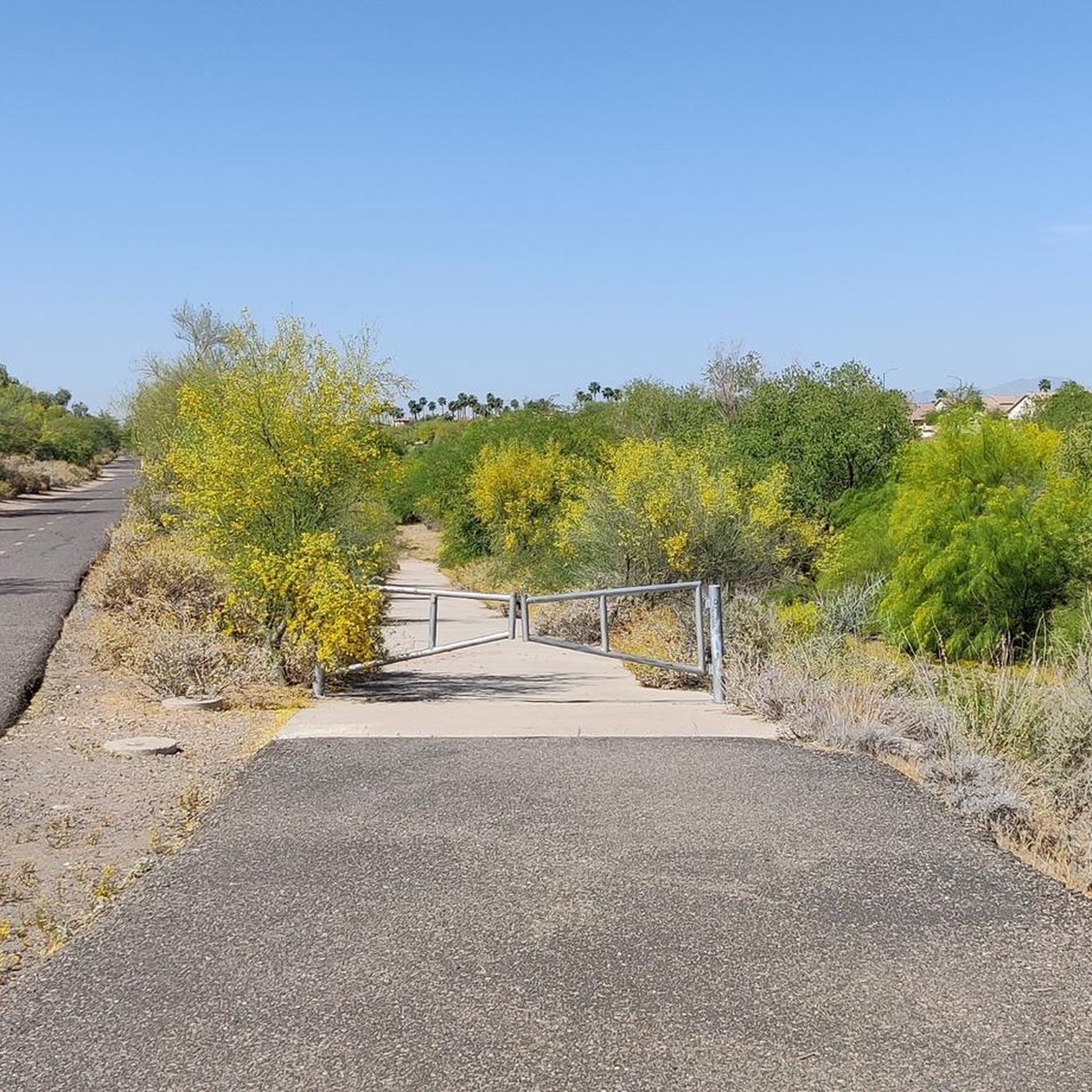
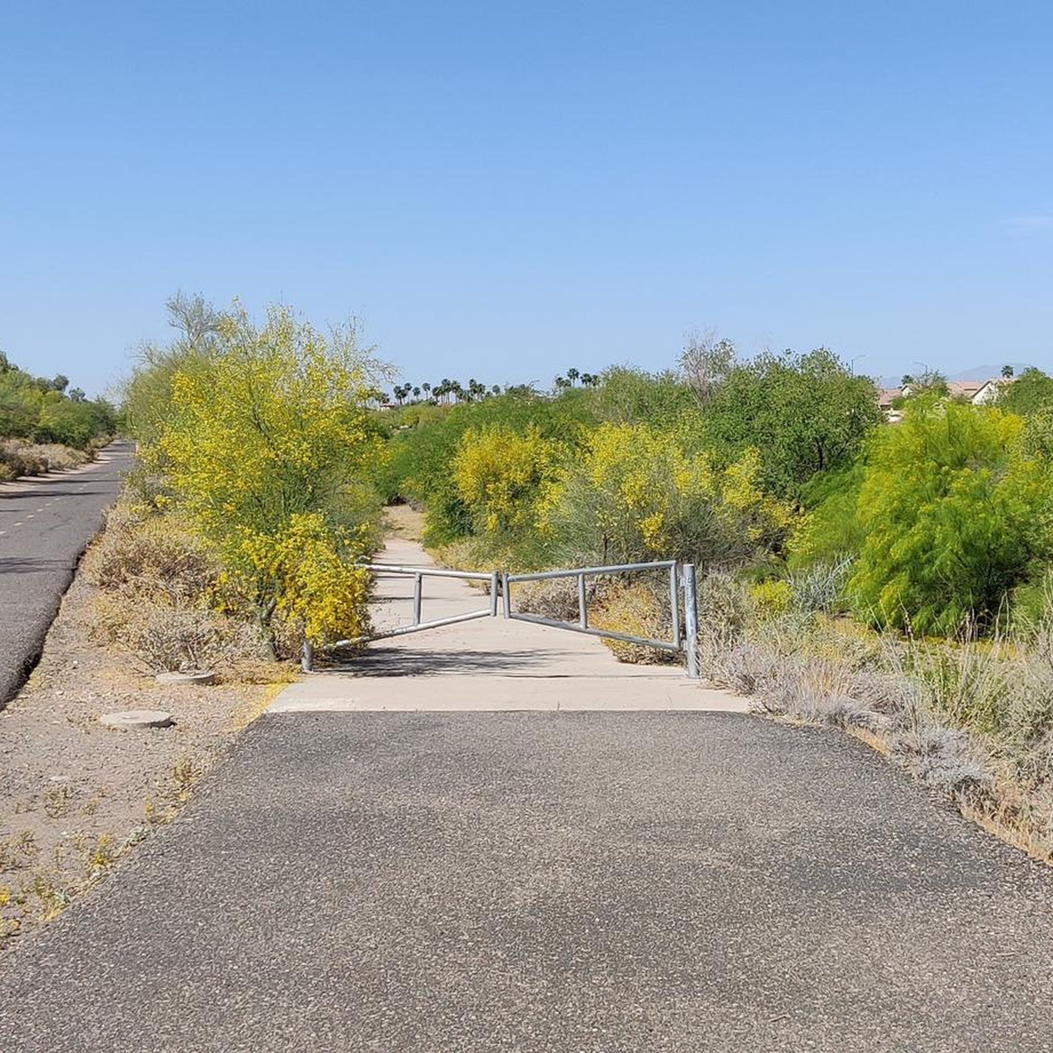
The Arizona Canal Trail is a 25 mile trail running between Peoria, Glendale, Phoenix, Scottsdale and the Salt River Pima–Maricopa Indian Community. It runs along both sides of the Arizona Canal. It is a paved and unpaved trail system and is a great way to get across town on a bike. It also interconnects with several other recreational trails on the way. It is simply a great biking route.
0
0
The Arizona Canal Trail is a 25 mile trail running between Peoria, Glendale, Phoenix, Scottsdale and the Salt River Pima–Maricopa Indian Community. It runs along both sides of the Arizona Canal. It is a paved and unpaved trail system and is a great way to get across town on a bike. It also interconnects with several other recreational trails on the way. It is simply a great biking route.
0
0

Cortez Park Lake is unique because it is a stocked Community Fishing Program lake. The signs around the park highlight the fishing license. requirements and bag limit regulations that strictly apply. That being said, grab your pole and licenses and head down to Cortez Lake Park for a relaxing day on the water at a park with shade, bathrooms, and lots of other amenities.
0
0

The canal path is a mix of paved and crushed gravel. Pretty much all of it is rideable on a road bike as it's flat and well packed.
0
0
Lakeview Day Use area has a number of picnic sites, restrooms and access to the Pipeline Canyon & Wild Burro Trails. While there is no guarantee that you'll see actual wild burro, it's not an uncommon occurrence either.
0
0
Rio Vista is a great park with plenty of places to play & relax. If you're feeling particularly hot you could cool down in the splash park, or get some shade and lunch in a picnic area. If you're on a family ride you can stop at the playground or try your luck in the fishing pond.
0
0
Frequently Asked Questions
What kind of terrain can I expect on road cycling routes around Sun City?
Road cycling routes in Sun City are generally characterized by flat to gently rolling terrain with well-paved surfaces. This makes them suitable for road cyclists of various skill levels, offering a straightforward environment to explore the community and its surroundings.
Are there any easy road cycling routes for beginners in Sun City?
Yes, Sun City offers several easy road cycling routes. For instance, the Rio Vista Community Park loop from State Farm Stadium is an easy 23 km path, and the Rio Vista Community Park loop from Arrowhead Towne Center is an even shorter, easy 16 km route. Overall, there are over 20 easy routes available.
What are some longer road cycling routes in the Sun City area?
For those seeking longer rides, the Peoria to Lake Pleasant loop — Lake Pleasant Regional Park is a moderate 93.8 km route that takes approximately 4 hours to complete, offering views of the Sonoran Desert. Another option is the Rio Vista Community Park loop from Willowbrook Golf Course, a moderate 45.3 km path exploring urban parks.
What are the dedicated cycling loops in Sun City?
Sun City features three primary dedicated cycling loops, each marked with colored 'Dan Henrys' for easy navigation. The Southern Loop (9.9 miles, yellow markers) stays south of Grand Avenue, the Central Loop (10.1 miles, green markers) is between Grand Avenue and Bell Road, and the Northern Loop (10.3 miles, orange markers) is north of Bell Road. Connectors marked in white allow for flexible transitions between these loops.
What kind of natural features and landmarks can I see while road cycling around Sun City?
While cycling, you'll be surrounded by the natural beauty of the Sonoran Desert, offering majestic mountains and vast desert landscapes. Specific routes like the Southern Loop pass attractions such as the Sun City Museum, the Playground of Childhood Memories, and various statues. You can also explore nearby attractions like Rio Vista Community Park, Sunset Vista Park, and the Thunderbird Conservation Park entrance.
Are there any family-friendly road cycling options in Sun City?
Many of the routes in Sun City are suitable for families, especially the easier, shorter loops within the community. The dedicated and marked bicycle routes offer a safe and enjoyable environment. Rio Vista Community Park, for example, is a popular destination with recreational facilities including a splash park and picnic areas, making it a great family outing.
What is the best time of year for road cycling in Sun City?
Sun City, Arizona, is generally best for road cycling during the cooler months, typically from late fall through spring (October to April), when temperatures are mild and pleasant. Summers can be very hot, making early morning or late evening rides more advisable during those months.
Are there any loop routes available for road cycling in Sun City?
Yes, Sun City is well-known for its dedicated loop routes. The Sun City Cycling Club has developed three primary loops: the Southern Loop, Central Loop, and Northern Loop, all designed to be circular. Additionally, routes like the Arizona Canal Trail – Rio Vista Community Park loop from State Farm Stadium also offer a loop experience.
What do other road cyclists say about the routes in Sun City?
The road cycling routes in Sun City are highly rated by the komoot community, with an average score of 4.4 stars from over 30 reviews. Cyclists often praise the well-paved surfaces, the dedicated marked loops, and the scenic backdrop of the Sonoran Desert.
Are there places to stop for refreshments or amenities along the cycling routes?
The Southern Loop passes by the New York West Pastry and Bake Shop, a highly-rated local bakery, offering a convenient stop for refreshments. Many routes also explore urban parks and local amenities within Sun City, providing access to various facilities and potential cafes.
How many road cycling routes are available around Sun City?
There are over 35 road cycling routes available around Sun City, catering to various fitness levels. These include a mix of easy and moderate trails, with options for both shorter rides and longer excursions.
Is there parking available near the road cycling trailheads in Sun City?
The dedicated cycling loops in Sun City often start from recreation centers, such as the Sun City Oakmont Recreation Center, Sun City Bell Recreation Center, and Sun City Mariette Recreation Center, which typically offer parking facilities. Many other routes also have accessible starting points with parking options.
Most popular routes around Sun City
Most popular attractions around Sun City

Get inspired with the komoot mobile app


Explore more
Browse the best Road cycling routes in other regions.
