The best walks and hikes around Heideteich
4.6
(3111)
10,573
hikers
14
hikes
Hiking trails around Heideteich are situated within a gently rolling landscape, characterized by diverse natural environments. The region features numerous pond landscapes, significant heathland areas, and extensive forests. Low height differences make the terrain accessible for various hiking levels. Idyllic, near-natural heath streams also meander through the park, supporting diverse plant and animal species.
Best hiking trails around Heideteich
- The most popular hiking route is Sorgwohld Inland Dunes – Sorgwohld Inland Dunes loop from Owschlag, a 8.6 miles (13.8…
Last updated: July 7, 2026
4.9
(37)
75
hikers
Moderate hike. Good fitness required. Easily-accessible paths. Suitable for all skill levels.
3.7
(17)
76
hikers
10.0km
02:33
30m
30m
Moderate hike. Good fitness required. Easily-accessible paths. Suitable for all skill levels.

Sign up for free
4.8
(8)
32
hikers
Easy hike. Great for any fitness level. Easily-accessible paths. Suitable for all skill levels.
4.2
(5)
45
hikers
5.33km
01:22
20m
20m
Easy hike. Great for any fitness level. Easily-accessible paths. Suitable for all skill levels.
5.0
(1)
14
hikers
4.66km
01:11
10m
10m
Easy hike. Great for any fitness level. Easily-accessible paths. Suitable for all skill levels.
Get access to more routes and recommendations from other explorers.
Sign up for free
Already have an account?
Our route recommendations are based on thousands of hikes, rides, and runs completed by other people on komoot.
Start today with a free account
Your next adventure awaits.
Login or Signup
Other adventures around Heideteich

Tips from the Community

Beautiful hike in August when the heather is in bloom.
0
0

Beautiful here
0
0
Beautiful in August!
0
0

The Sorgwohld dunes near Owschlag have been a nature reserve (identification number 11) along the Sorgeniederung since 1936. The dunes were formed during the late and postglacial periods, approximately 12,000 years ago.
2
0

The residents should definitely have off-road vehicles of any kind 😂😂🤪
0
0

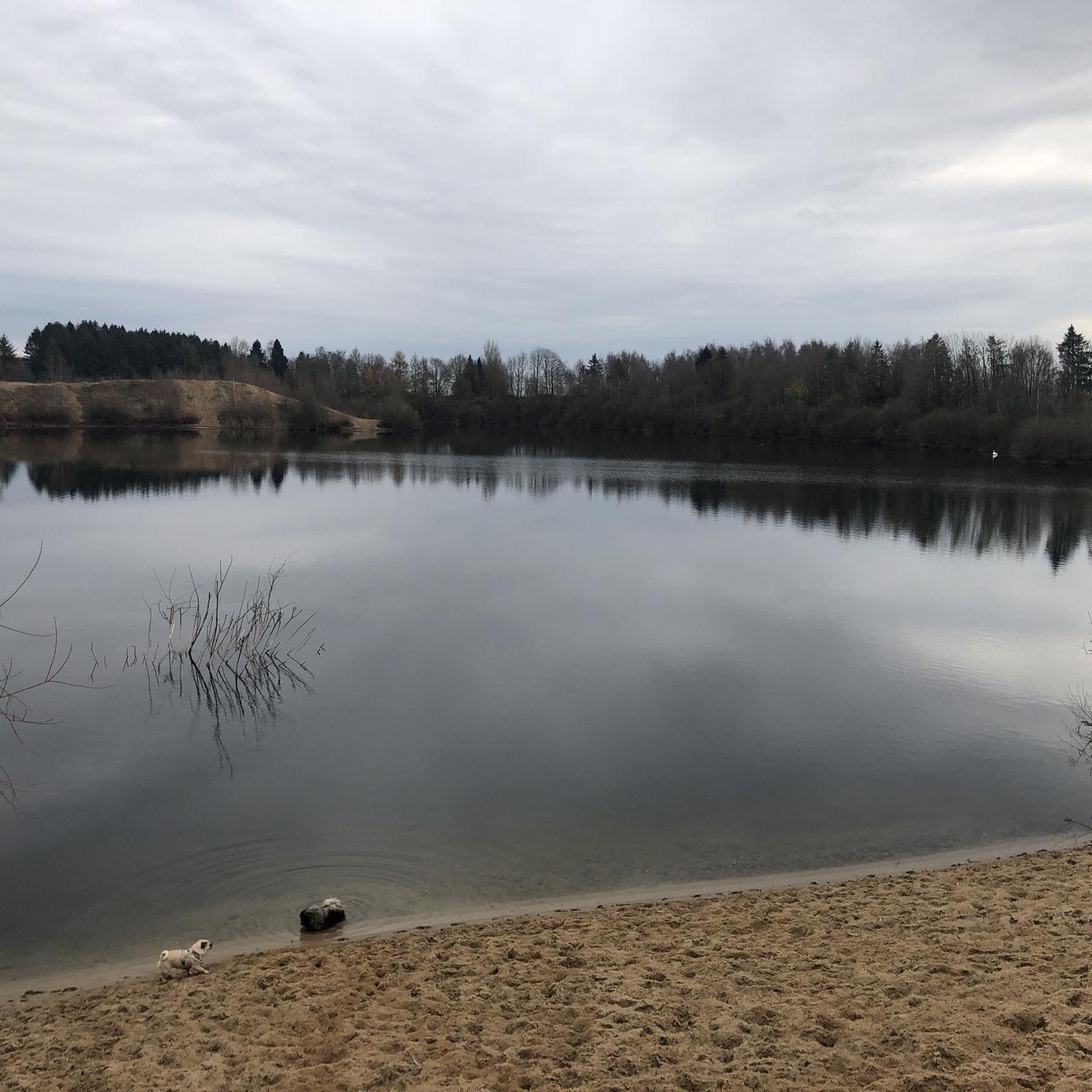
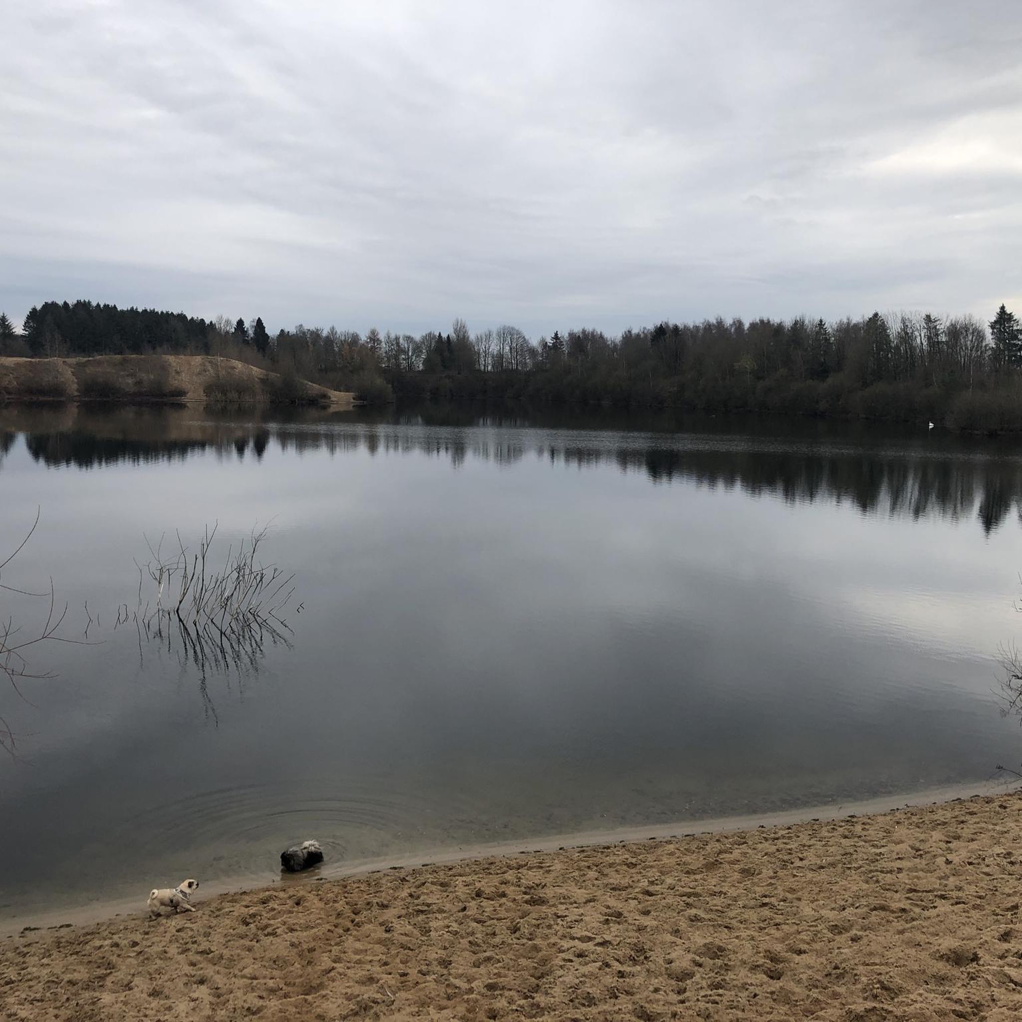
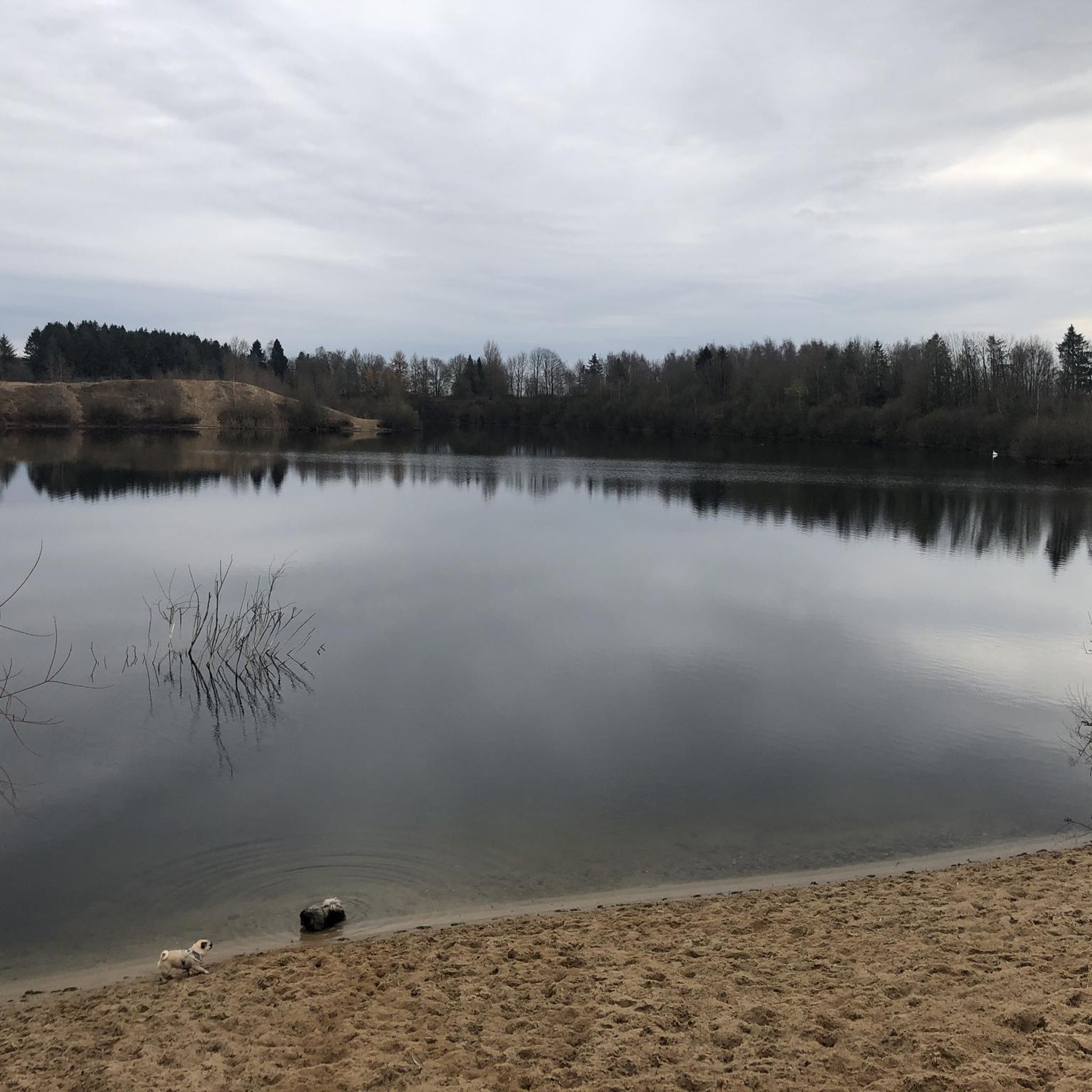
There is a beautiful, idyllic bathing area at Lake Owschlag, southeast of Owschlag. A meadow with a playground, a permanent fireplace and a brick barbecue. A mobile DIXI toilet with a water tank for washing hands is also available. There is a shelter a little further up. The grate for the brick barbecue can be rented out free of charge for a deposit. Please contact the building yard on 04336-999036 or by email bauhof(at)owschlag.de. The bathing area at Lake Owschlag is an idyllic place to sunbathe, swim and relax in the summer months. The bathing water quality is regularly checked by the health department of the Rendsburg-Eckernförde district during the season. https://www.owschlag.de/tourismus-freizeit/badestelle/
2
0

Beautiful swimming lake. First swim of '24 for me on May 3rd 🏊🏻♂️👍
0
0
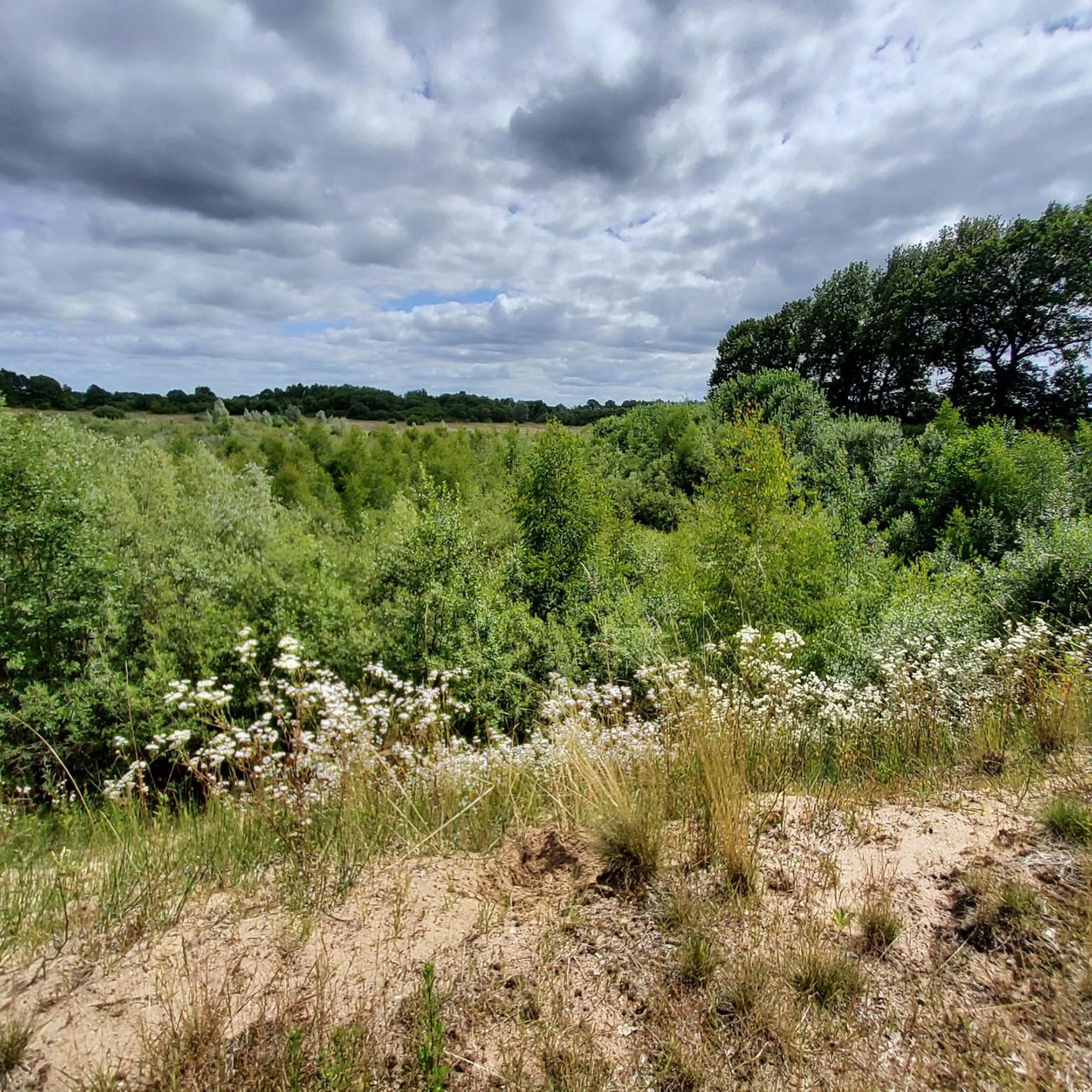
The Sorgwohlder inland dunes near Owschlag have been a nature reserve along the Sorge lowlands since 1936. It extends from Sorgwohld in a northeasterly direction. The dunes were formed in the late and post-glacial periods around 12,000 years ago. A constant ice wind blew the sand from the erosion edges, created by meltwater that had severely eroded the Owschlager Sander in Sorgetal, into mighty dunes. Today it can be assumed that parts of the Sorgwohlde inland dunes have been almost devoid of vegetation since the Ice Age. Humans have cultivated this landscape through grazing and farming since around 1000 AD. fundamentally shaped. The farmers in the sandy areas used the soil removed by pests to litter the stables and then fertilize their one-sidedly cultivated fields. Plowing and removing heather and other ground litter removed nutrients from the soil. This meant that the heather was always able to sprout new crops and germinate its sun-loving seeds better. The Ochsenweg also had an influence on the area. At Sorgwohld he crossed the worry. Large storage areas had to be available at such water points. The cattle kept churning up the ground. The Sorgwohlder inland dunes with their heaths and silver grass and lichen meadows, which are unique to Schleswig-Holstein and are home to a number of insects and spider species that are threatened with extinction. You can find further detailed information about the Sorgwohlder inland dunes here: http://www.owschlag.info/BUND/binnenduenen.htm
3
0
Frequently Asked Questions
How many hiking trails are available in Heideteich?
Heideteich, part of the Südheide Nature Park, offers a comprehensive network of hiking trails. Our guide features around 15 distinct hiking routes, ranging from easy strolls to more moderate excursions. The broader Südheide Nature Park boasts a 400-kilometer network, including 23 themed circular tours.
Are there hiking trails suitable for beginners or families in Heideteich?
Yes, Heideteich offers several easy hiking options perfect for beginners and families. The region's gently rolling landscape and low height differences make many trails accessible. For example, the Information board on the Ochsenweg – Small resting bench loop from Owschlag is an easy 3.9-mile trail, and the Owschlag Lake Bathing Area – Owschlager Lake loop from Owschlag is another easy option at 3.3 miles.
Can I bring my dog on the hiking trails in Heideteich?
Generally, dogs are welcome on the hiking trails in Heideteich. However, as the area is rich in wildlife and includes nature reserves, it's essential to keep dogs on a leash, especially in heathland areas and near ponds where sensitive bird species reside. Always respect local signage regarding pet regulations.
What kind of landscapes and viewpoints can I expect to see while hiking in Heideteich?
Heideteich offers a diverse range of natural beauty. You'll encounter tranquil pond landscapes, vibrant heathlands that bloom purple in late summer, extensive forests, and idyllic heath streams. Notable viewpoints include the Haußelberg, which at 118 meters high, provides magnificent panoramic views over the sprawling heath areas.
When is the best time of year to go hiking in Heideteich?
The best time to hike in Heideteich largely depends on what you wish to experience. Late summer, particularly August and September, is spectacular when the heathlands are in full bloom. Spring and early summer (May and June) offer lush greenery and blooming marsh irises and callas around the ponds. The forests provide pleasant shade during warmer months, and winter can offer serene, quiet walks through snow-covered landscapes.
Are there many circular hiking routes in Heideteich?
Yes, circular routes are a popular way to explore Heideteich. Our guide features several loop trails, such as the Sorgwohld Inland Dunes – Sorgwohld Inland Dunes loop from Owschlag, which is a moderate 8.6-mile trail, and the Owschlager Moor – Owschlag Lake Bathing Area loop from Owschlag, a 6.2-mile moderate path. The Südheide Nature Park itself offers 23 themed circular hiking tours.
What kind of wildlife might I encounter while hiking in Heideteich?
Heideteich is a haven for wildlife. Around the ponds, you might spot kingfishers, grey herons, and even rare species like black storks or ospreys. The heathlands are home to sand lizards and adders, while the forests host boreal and pygmy owls. Keep an eye out for moorland sheep and, if you're lucky, a shepherd with his flock.
Is parking available near the hiking trails in Heideteich?
Yes, parking is generally available at common starting points for trails within the Südheide Nature Park. Many routes, such as those starting from Owschlag, have designated parking areas. It's advisable to check specific trailheads for detailed parking information before your visit.
Are there any historical markers or points of interest along the trails?
Yes, the region offers historical insights. The Information board on the Ochsenweg – Small resting bench loop from Owschlag passes historical markers. The Old Mill on the Örtze is another notable point of interest, providing easy access to the river and housing a tourist information center. Informative boards along paths, like in Tiefental, also provide historical and ecological context.
What do other hikers say about the trails in Heideteich?
The hiking trails in Heideteich are highly regarded by the komoot community, with an impressive average rating of 4.6 stars from over 2500 reviews. Hikers frequently praise the diverse and well-preserved natural environment, the tranquility of the pond landscapes, and the beauty of the blooming heathlands in season.
Are there less crowded hiking options in Heideteich?
While popular, the extensive network of trails in the Südheide Nature Park means you can often find quieter paths, especially outside of peak bloom season (August/September) or by exploring some of the longer forest routes. The vastness of the forests and moorlands offers opportunities for peaceful solitude away from more frequented spots.
Can I reach the hiking trails by public transport?
Some trailheads in the Heideteich area are accessible by public transport. For instance, the route Owschlag train station – Mühlenau loop from Owschlag indicates a starting point directly at the Owschlag train station, making it convenient for those arriving by rail. It's recommended to check local bus and train schedules for specific access points.
Most popular routes around Heideteich

Get inspired with the komoot mobile app


Explore more
Browse the best Hikes in other regions.
