The best walks and hikes around Rümlandteich
4.6
(2755)
9,431
hikers
398
hikes
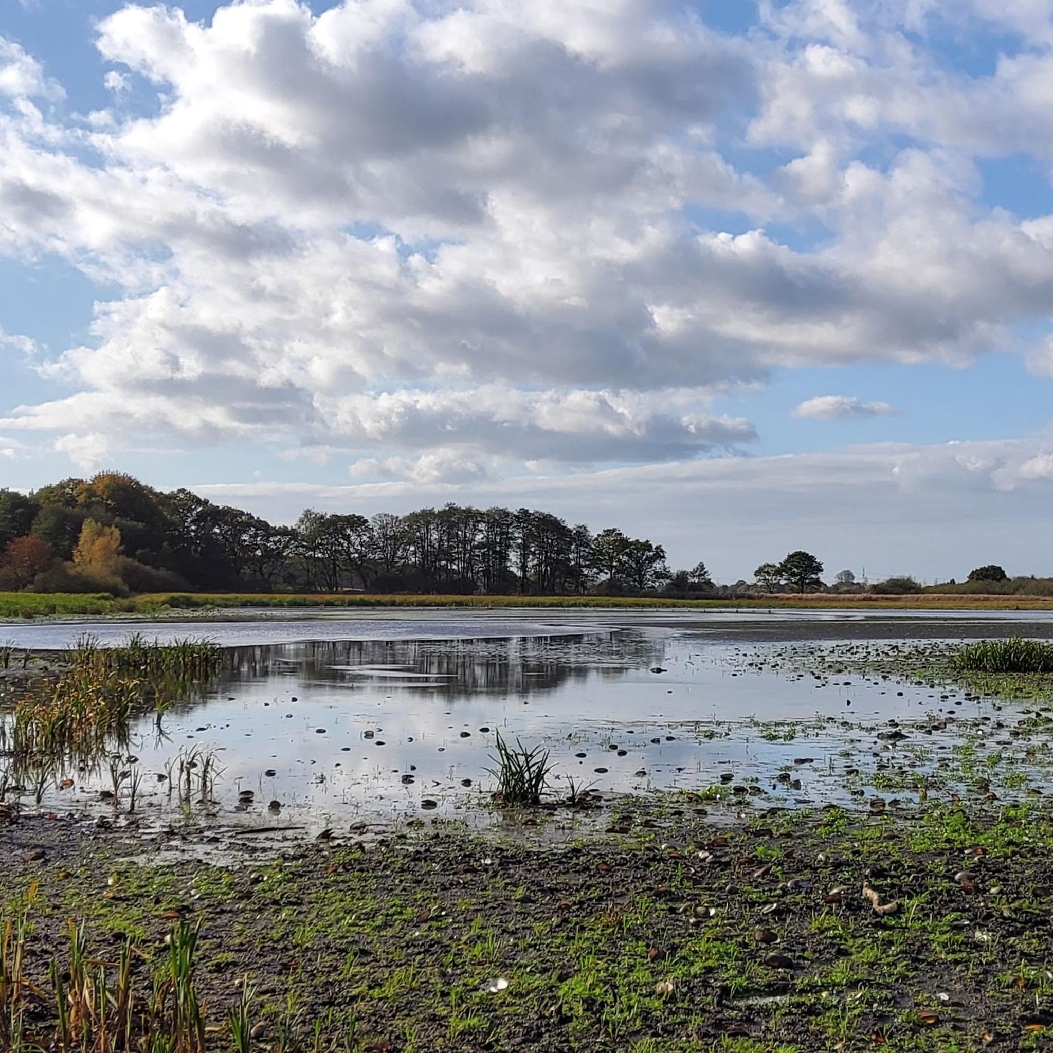
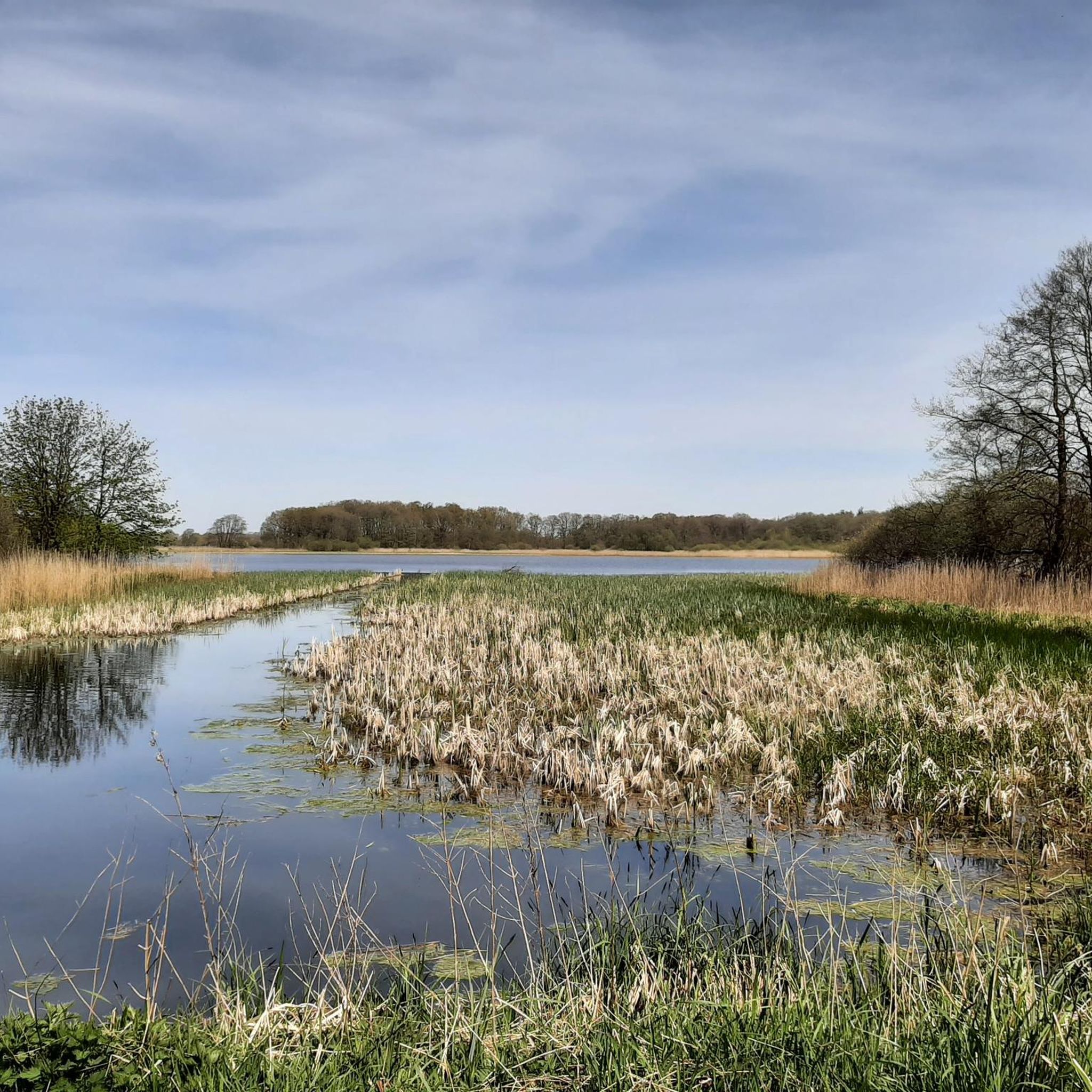
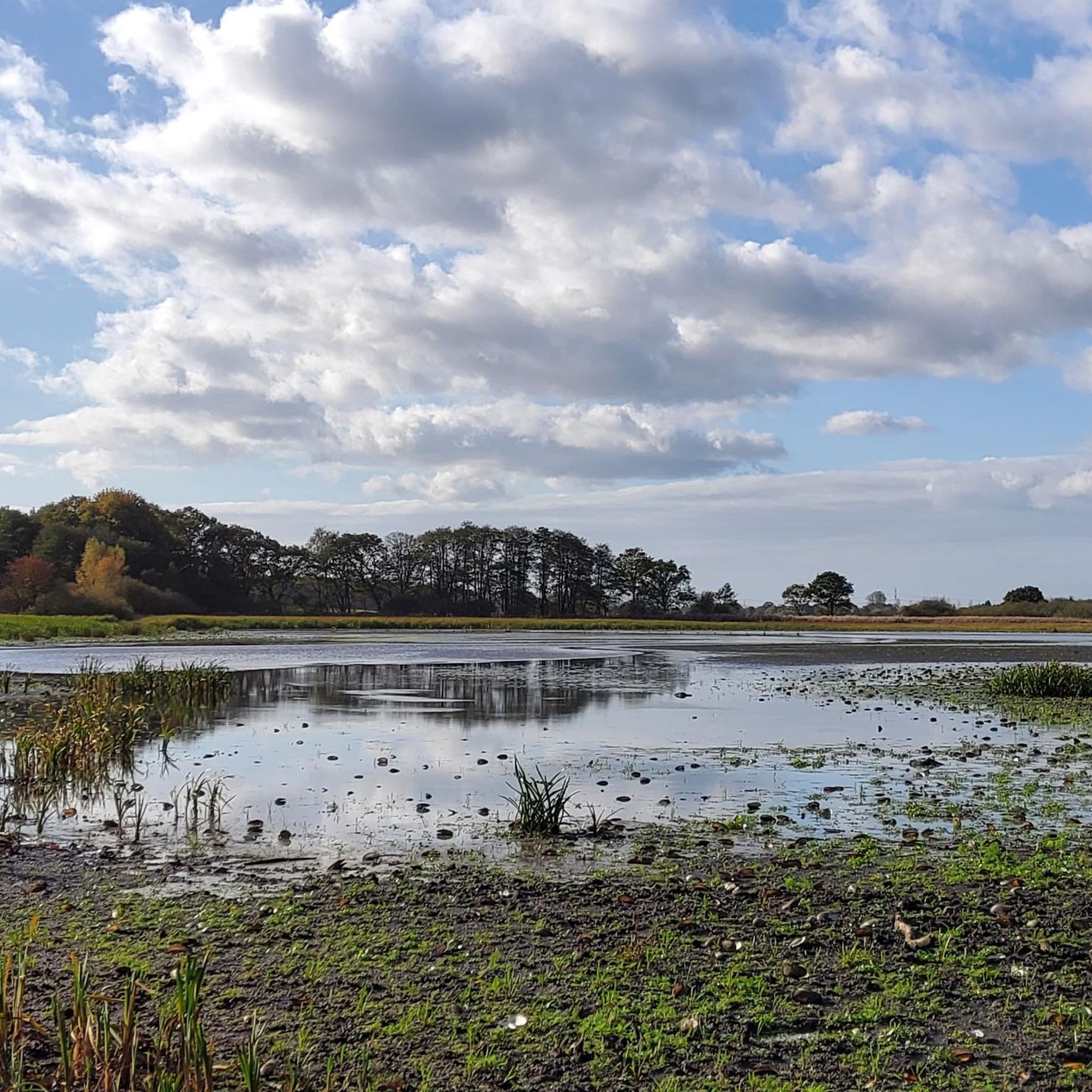
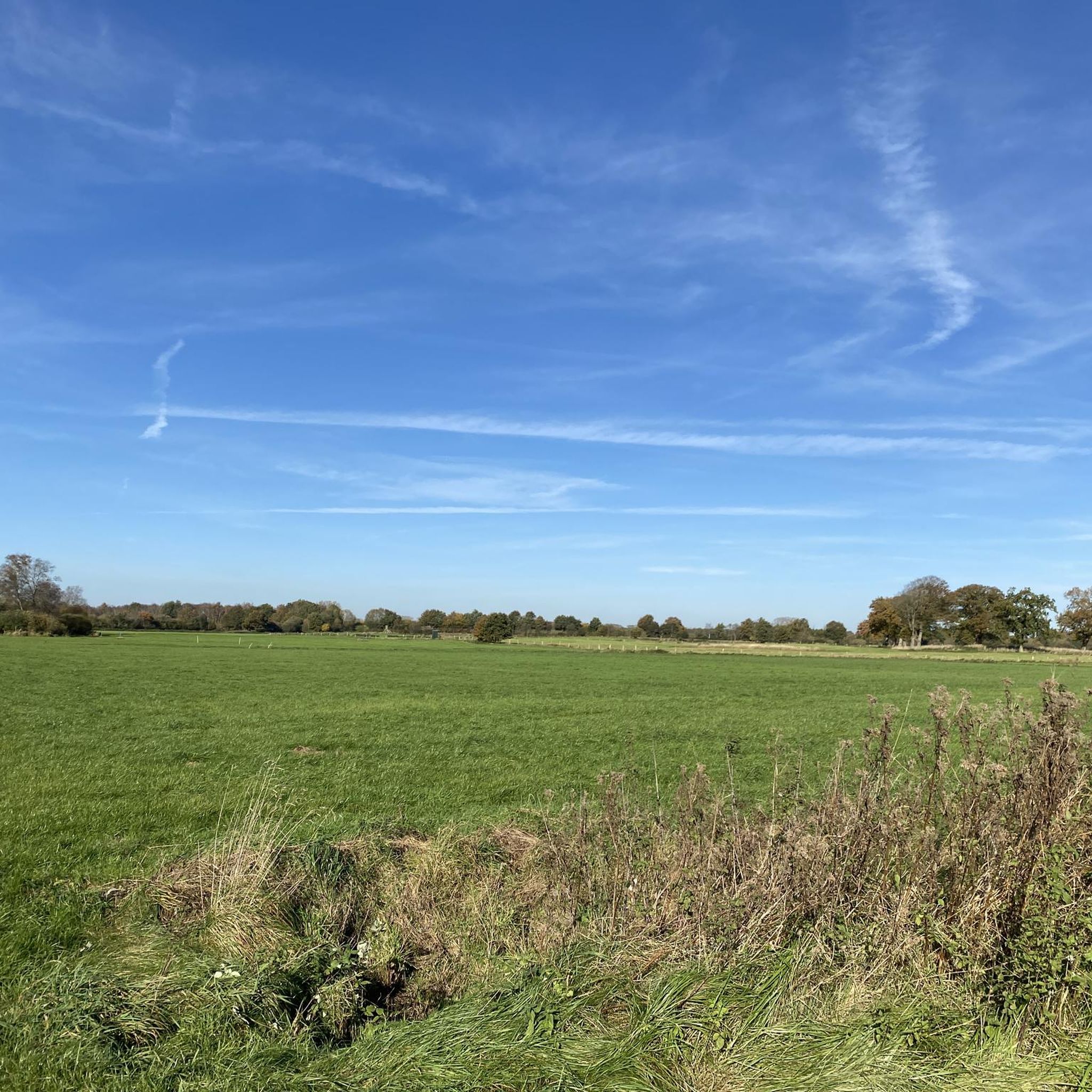
Hiking around Rümlandteich offers accessible trails through diverse natural features. The region is characterized by serene pond landscapes with reeds and open water, surrounded by adjacent forest areas and grasslands. The terrain is generally flat with minimal elevation changes, providing comfortable walking experiences. This area, part of a nature reserve, is known for its tranquil setting.
Best hiking trails around Rümlandteich
- The most popular hiking route is Rümland Pond – View of Rümlandteich loop from Methhorstteich und Rümland-Teich, a…
Last updated: June 29, 2026
5.0
(24)
96
hikers
Easy hike. Great for any fitness level. Easily-accessible paths. Suitable for all skill levels.
4.7
(75)
254
hikers
4.19km
01:04
20m
20m
Easy hike. Great for any fitness level. Easily-accessible paths. Suitable for all skill levels.

Sign up for free
4.8
(15)
49
hikers
Moderate hike. Good fitness required. Easily-accessible paths. Suitable for all skill levels.
4.8
(39)
88
hikers
5.36km
01:23
20m
20m
Easy hike. Great for any fitness level. Easily-accessible paths. Suitable for all skill levels.
4.0
(2)
17
hikers
5.38km
01:23
30m
30m
Easy hike. Great for any fitness level. Easily-accessible paths. Suitable for all skill levels.
Get access to more routes and recommendations from other explorers.
Sign up for free
Already have an account?
Our route recommendations are based on thousands of hikes, rides, and runs completed by other people on komoot.
Start today with a free account
Your next adventure awaits.
Login or Signup

Tips from the Community

Added to the collection: komoot.com/de-de/collection/3600632/-naturdenkmaeler-besondere-baeume-und-weitere-schaetze-der-natur
0
0


Currently still quite inconspicuous, but exciting to see how it will develop over the coming years
0
0
Beautiful sunny corner with a view of reeds and a pond
0
0

The parking lot is located directly on the street Diekendörn, which is also a small village in its own right
0
0
We practically had the paths to ourselves while walking, despite the good weather. It is definitely worth making a detour here
0
0

After rain, this forest floodplain has water and then crossing it can be sporty. Most of the time only temporary bridges are built.
5
0
Fully shaded, but not very big 🅿️ for the start of your tour.
5
0
Frequently Asked Questions
How many hiking trails are available around Rümlandteich?
The Rümlandteich area offers a comprehensive network of over 400 hiking routes. These range from easy strolls to more moderate excursions, ensuring there's a path for every preference.
What is the typical difficulty level of hikes in Rümlandteich?
Most of the trails around Rümlandteich are considered easy, with over 270 routes falling into this category. The terrain is generally flat with minimal elevation changes, making for comfortable walking experiences. There are also around 120 moderate routes and a few more challenging options for those seeking a greater workout.
Are there any circular hiking routes in the Rümlandteich area?
Yes, Rümlandteich is known for its excellent circular routes. A popular option is the Rümland Pond – View of Rümlandteich loop from Methhorstteich und Rümland-Teich, which is an easy 3.6 km trail offering picturesque views of the pond and surrounding nature.
What kind of natural features can I expect to see while hiking around Rümlandteich?
Hikers will experience serene pond landscapes, characterized by reeds and open water, alongside adjacent forest areas and grasslands. The region is part of a nature reserve, offering tranquil settings and diverse natural environments. You'll find paths leading along pond shores and through mature forest ecosystems.
Is Rümlandteich a good place for birdwatching?
Absolutely. Rümlandteich and Methorstteich are renowned for their rich birdlife, making them a prime location for birdwatching. You might spot white-tailed eagles, various woodpeckers, geese, and swans. During autumn and winter, when ponds are temporarily drained, it's an excellent spot for observing wading birds and wintering pipits.
Are there family-friendly hiking options in Rümlandteich?
Yes, many trails are ideal for families due to their easy difficulty and minimal elevation gain. The Rümland Pond – Hidden Path by Metthorst Pond loop from Haßmoor is an easy 4.2 km path that leads through varied terrain and is often completed in just over an hour, perfect for a family outing.
Can I bring my dog on the hiking trails in Rümlandteich?
The nature reserve generally welcomes dogs, but it's always recommended to keep them on a leash to protect the local wildlife, especially the abundant bird species. The flat and accessible trails are well-suited for walks with your canine companion.
What is the best season to hike in Rümlandteich?
Rümlandteich offers unique experiences throughout the year. Spring and summer are ideal for enjoying lush greenery and active birdlife. Autumn provides beautiful foliage, and winter, especially when the ponds are drained, offers exceptional birdwatching opportunities for wading birds and wintering pipits.
Are there longer hiking routes for more experienced hikers?
Yes, for those looking for a longer excursion, the Hidden Path by Metthorst Pond – Hidden Path at Methhorst Pond loop from Haßmoor is a moderate 8.7 km trail. It takes approximately 2 hours and 15 minutes to complete and leads through diverse pond landscapes and forest areas.
What do other hikers enjoy most about the trails in Rümlandteich?
The trails in Rümlandteich are highly rated by the komoot community, with an average score of 4.6 stars from over 2500 reviews. Hikers often praise the tranquil setting, the beautiful pond views, the well-maintained paths, and the opportunities for birdwatching.
Are there any specific viewpoints or scenic spots along the trails?
Many trails offer picturesque views directly over Rümlandteich and Methorstteich, particularly those that lead along the pond shores. The serene open water and reed-lined banks provide excellent photo opportunities and spots for quiet contemplation.
How long do hikes in Rümlandteich typically take?
Hike durations vary, but many popular routes can be completed within two hours. For example, the easy Methorst Pond – Rümland Pond loop from Haßmoor is about 5.4 km and takes around 1 hour 20 minutes, making it suitable for a relaxed outing.
Most popular routes around Rümlandteich

Get inspired with the komoot mobile app


Explore more
Browse the best Hikes in other regions.
