The best cycling routes around Grabauer Lake
4.5
(2894)
13,031
riders
822
rides
Touring cycling routes around Grabauer Lake are characterized by a landscape of lakes, rivers, and meadows, offering generally flat to gently rolling terrain. The region features a network of paths that often follow waterways like the Beste and Trave rivers, providing scenic views. Cyclists can expect routes that traverse open countryside and connect local points of interest. The area's low elevation gains make it suitable for various cycling abilities.
Best touring cycling routes around Grabauer Lake
- The most popular touring…
Last updated: July 5, 2026
5.0
(2)
23
riders
32.1km
02:04
160m
160m
Moderate bike ride. Good fitness required. Mostly paved surfaces. Suitable for all skill levels.
4.0
(2)
14
riders
34.9km
02:05
170m
170m
Moderate bike ride. Good fitness required. Mostly paved surfaces. Suitable for all skill levels.

Sign up for free
3.0
(1)
24
riders
8.18km
00:32
30m
30m
Easy bike ride. Great for any fitness level. Mostly paved surfaces. Suitable for all skill levels.
5.0
(1)
11
riders
19.8km
01:13
80m
80m
Easy bike ride. Great for any fitness level. Mostly paved surfaces. Suitable for all skill levels.
5.0
(1)
13
riders
18.3km
01:07
70m
70m
Easy bike ride. Great for any fitness level. Mostly paved surfaces. Suitable for all skill levels.
Get access to more routes and recommendations from other explorers.
Sign up for free
Already have an account?
Our route recommendations are based on thousands of hikes, rides, and runs completed by other people on komoot.
Start today with a free account
Your next adventure awaits.
Login or Signup
Tips from the Community

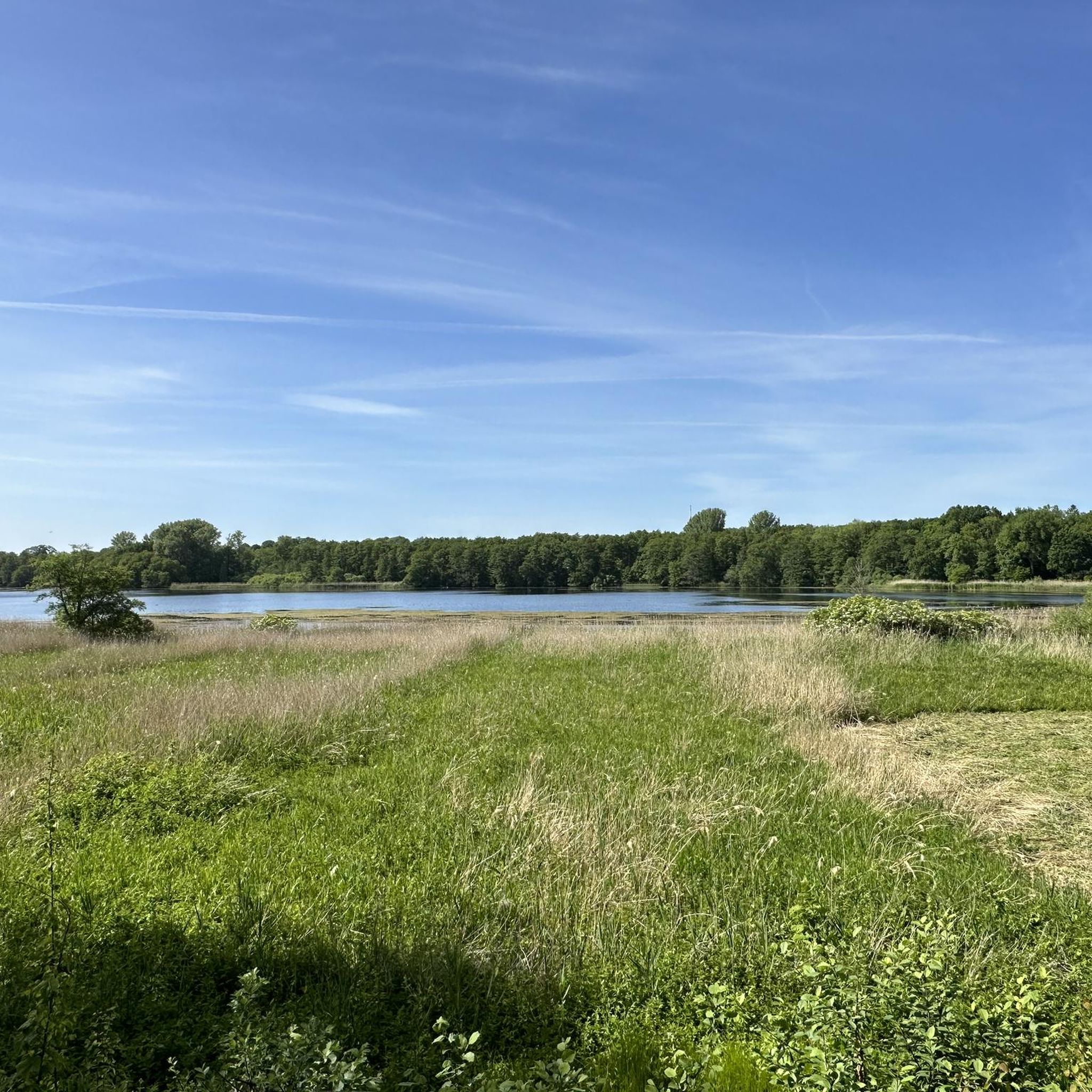
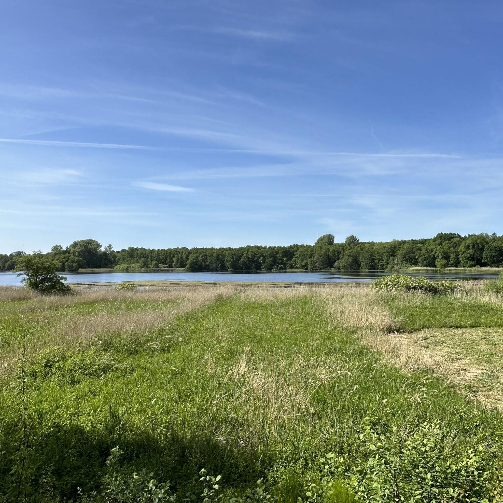
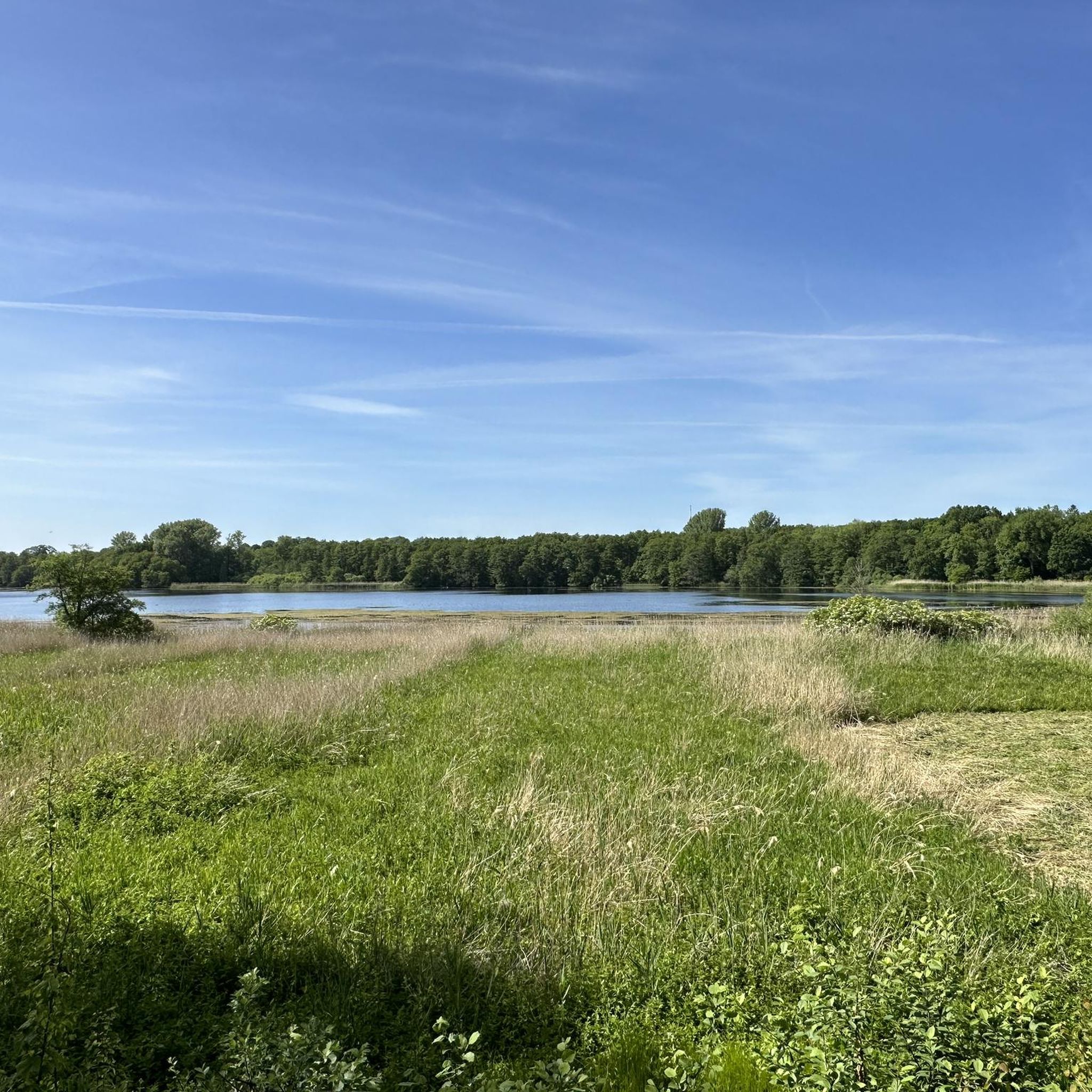
The Grabauer See invites you to stop for a break. It is possible to cycle around the lake on relatively good paths in some sections.
0
0

Overall, it's a bit monotonous and boring to ride. However, it's perfectly fine as a change of pace between trails or gravel roads.
0
0

Bridge over the Trave, wonderful view, invites you to relax.
0
0

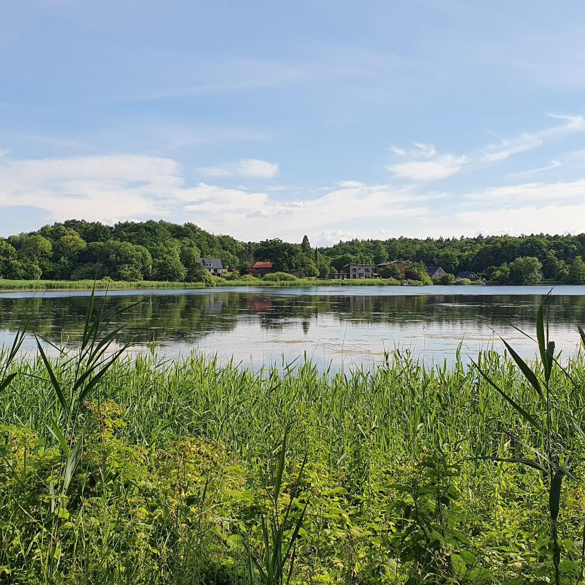
Nice place to hang out. Got your swimwear?
0
0

The old town of Bad Oldesloe captivates with its historic charm and idyllic location at the confluence of the Trave and Beste rivers. Especially around Hude Square, you can still experience medieval Oldesloe, with its old buildings and winding alleys.
0
0

The Nienwohlder Moor lies on the watershed between the North Sea and the Baltic Sea.[2] It drains to the west into the Lankau, to the south into the Alte Alster, and to the north into the Norderbeste. The nature reserve, which is managed by the Schleswig-Holstein State Hunting Association with the exception of the areas owned by the State Forestry Administration[5],[6] can be almost completely circumnavigated on hiking trails, along which information boards are posted at several locations. In the west, a hiking trail runs through the protected area in the area of the Lunden, a towering moraine ridge.
0
0
Today, typical raised moor vegetation can once again be found in the nature reserve, including round-leaved sundew, narrow-leaved cottongrass, bladderwort, white beak sedge, sedge cottongrass, cranberry, as well as cross-leaved heather, rosemary, and common heather. The nature reserve also represents an important habitat for birds. Various wading birds such as the curlew and the common snipe, as well as ducks such as the shoveler, teal, tufted duck, and garganey, as well as meadow pipits, whinchats, and stonechats, are native here. Marsh harriers and short-eared owls can also be found here. The undisturbed moorland is a refuge for cranes, which are now breeding here again. Various woodpecker species, red-backed shrikes, and songbirds are native to the wooded moorland areas. The nature reserve also provides a habitat for various amphibians and reptiles, as well as insects such as dragonflies and butterflies.
0
0
The moor was renaturalized in the 1980s through rewetting measures.[2][3] Today, in the area of former industrial use, it is an open raised bog with numerous water-filled peat pits, surrounded by a bog forest. The farmer's hand-cut peat pits at the edge of the moor are often water-filled. Sphagnum moss quaking grassland grows here, and the peat pits are slowly silting up. Further areas are occupied by grassland and forest. Some of the grassland is extensively grazed by robust cattle.[4] Some areas are still intensively used for agriculture, including one arable area.
0
0
Frequently Asked Questions
How many touring cycling routes are available around Grabauer Lake?
There are over 800 touring cycling routes around Grabauer Lake, offering a wide variety of options for different skill levels and preferences. The majority of these routes are classified as easy or moderate, making the region accessible to many cyclists.
What is the best time of year to go touring cycling around Grabauer Lake?
The best time for touring cycling around Grabauer Lake is typically from spring through autumn (April to October). During these months, the weather is generally mild and pleasant, and the natural landscape of lakes, rivers, and meadows is at its most vibrant. Winter cycling is possible, but routes may be affected by ice or snow, and amenities might be limited.
Are there family-friendly cycling routes suitable for beginners around Grabauer Lake?
Yes, Grabauer Lake is well-suited for families and beginners due to its generally flat to gently rolling terrain. Many routes follow riverside paths or old railway tracks, offering smooth surfaces and minimal elevation gain. An excellent option for a shorter, easy ride is the Old Grabau Station – St John's Church, Sülfeld loop from Grabau, which is just over 8 km long and takes about 30 minutes.
What kind of scenery can I expect on the touring cycling routes?
The touring cycling routes around Grabauer Lake are characterized by picturesque landscapes of lakes, rivers, and open meadows. You'll often find yourself cycling alongside waterways like the Beste and Trave rivers, through quiet countryside, and past charming local villages. The region's low elevation ensures scenic views without strenuous climbs.
Are there any challenging touring bike trails for experienced cyclists?
While the region is known for its generally easy terrain, there are moderate routes that offer longer distances and slightly more varied landscapes for experienced cyclists. For example, the Trail along the Beste – Trave Riverside Path loop from Grabau covers 32 km and provides a good workout while still enjoying the scenic riverside paths.
What are some interesting places to see or landmarks along the cycling routes?
Along your cycling routes, you can discover several interesting points. Consider visiting the Birdwatching hide at Grabauer Lake for wildlife observation, or the historic Hoherdamm Mill. For nature enthusiasts, the Exposed Tree Roots Near Grabau offer a unique natural sight. Families might enjoy a stop at the Grabauer Adventure Forest Playground.
Are there circular cycling routes available around Grabauer Lake?
Yes, many of the touring cycling routes around Grabauer Lake are designed as circular loops, allowing you to start and end at the same point. This is convenient for those who drive to the area. Examples include the popular Abandoned Railway Track – Trail along the Beste loop from Grabau and the shorter St John's Church, Sülfeld – Sülfeld Meadows loop from Grabau.
What do other touring cyclists enjoy most about cycling in Grabauer Lake?
The touring cycling routes around Grabauer Lake are highly rated by the komoot community, with an average score of 4.5 stars from over 2,700 reviews. Cyclists often praise the region's tranquil riverside paths, the well-maintained trails, and the beautiful, varied scenery that combines lakes, rivers, and open countryside. The low elevation gain is also frequently highlighted as a positive aspect, making it enjoyable for all skill levels.
Are there good viewpoints or picnic spots along the routes?
Yes, the region offers several scenic spots perfect for taking a break or enjoying a picnic. The routes often pass by the lake shores and riverbanks, providing natural viewpoints. For instance, the Viewpoint at Grabauer See – Pavilions on Mühlenteich Lake loop from Grabau specifically highlights a viewpoint at Grabauer See, and you can find other pleasant spots along the Viewpoint on the north shore of Grabauer See.
Is public transport available to access the cycling routes around Grabauer Lake?
While specific public transport connections directly to every trailhead might vary, the Grabauer Lake region is generally accessible. It's advisable to check local bus schedules or regional train services that connect to nearby towns like Grabau or Sülfeld, which often serve as starting points for many routes. Some routes, like the Old Grabau Station – St John's Church, Sülfeld loop from Grabau, even start near former railway stations, indicating historical transport links.
Are there cafes or pubs near the Grabauer Lake bike trails?
Yes, as the routes often connect local villages and pass through populated areas, you can typically find cafes, restaurants, or pubs in the towns and villages along the way. These establishments offer opportunities for refreshments and meals, especially in places like Sülfeld or Grabau itself. It's a good idea to plan your route with potential stops in mind.
Most popular routes around Grabauer Lake
Most popular attractions around Grabauer Lake

Get inspired with the komoot mobile app


Explore more
Browse the best Cycling routes in other regions.
