The best running trails around Doney Park
5.0
(3)
845
runners
83
runs
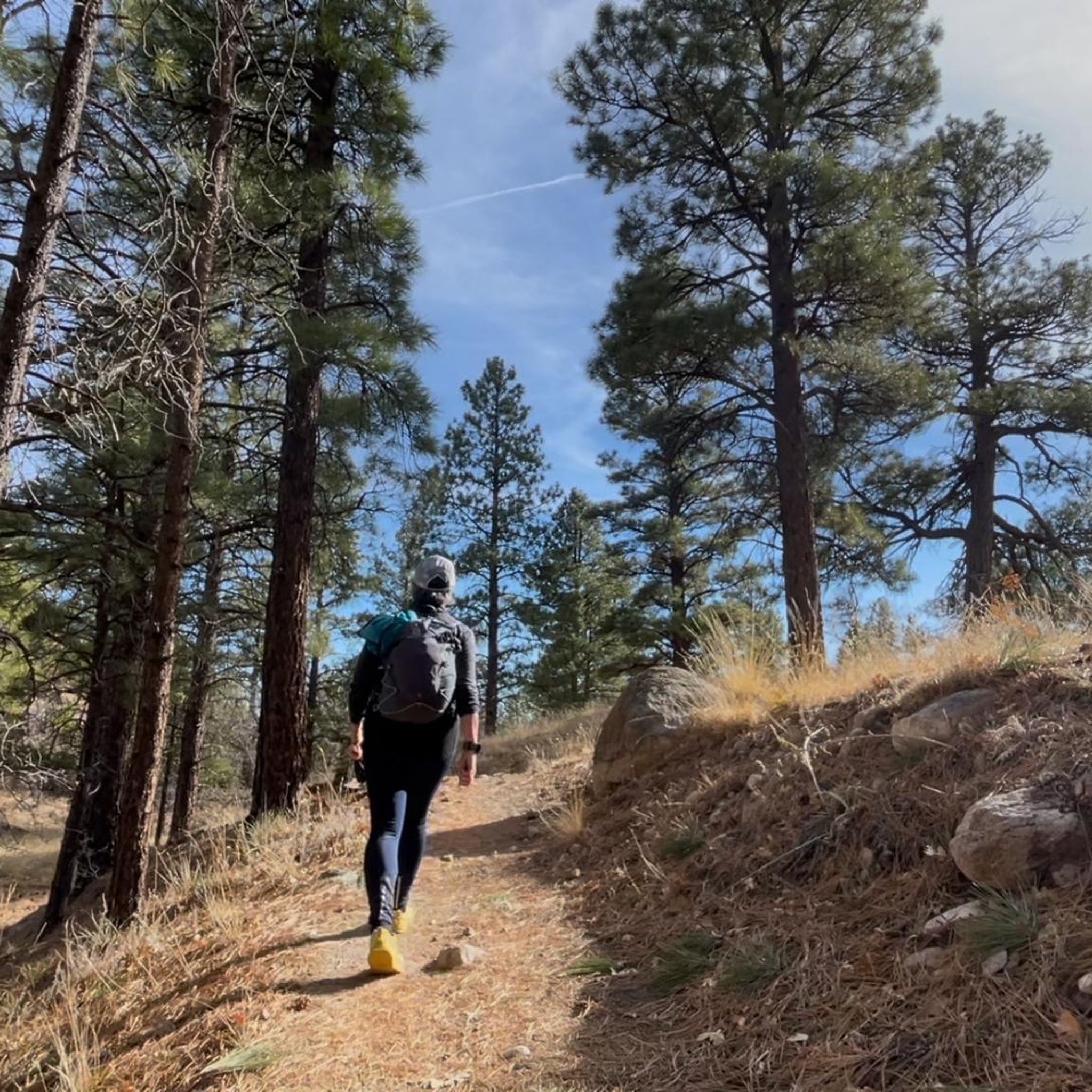
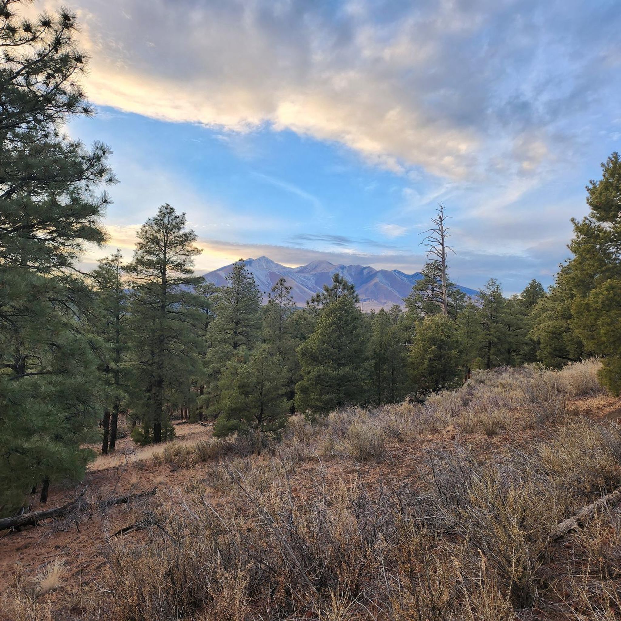
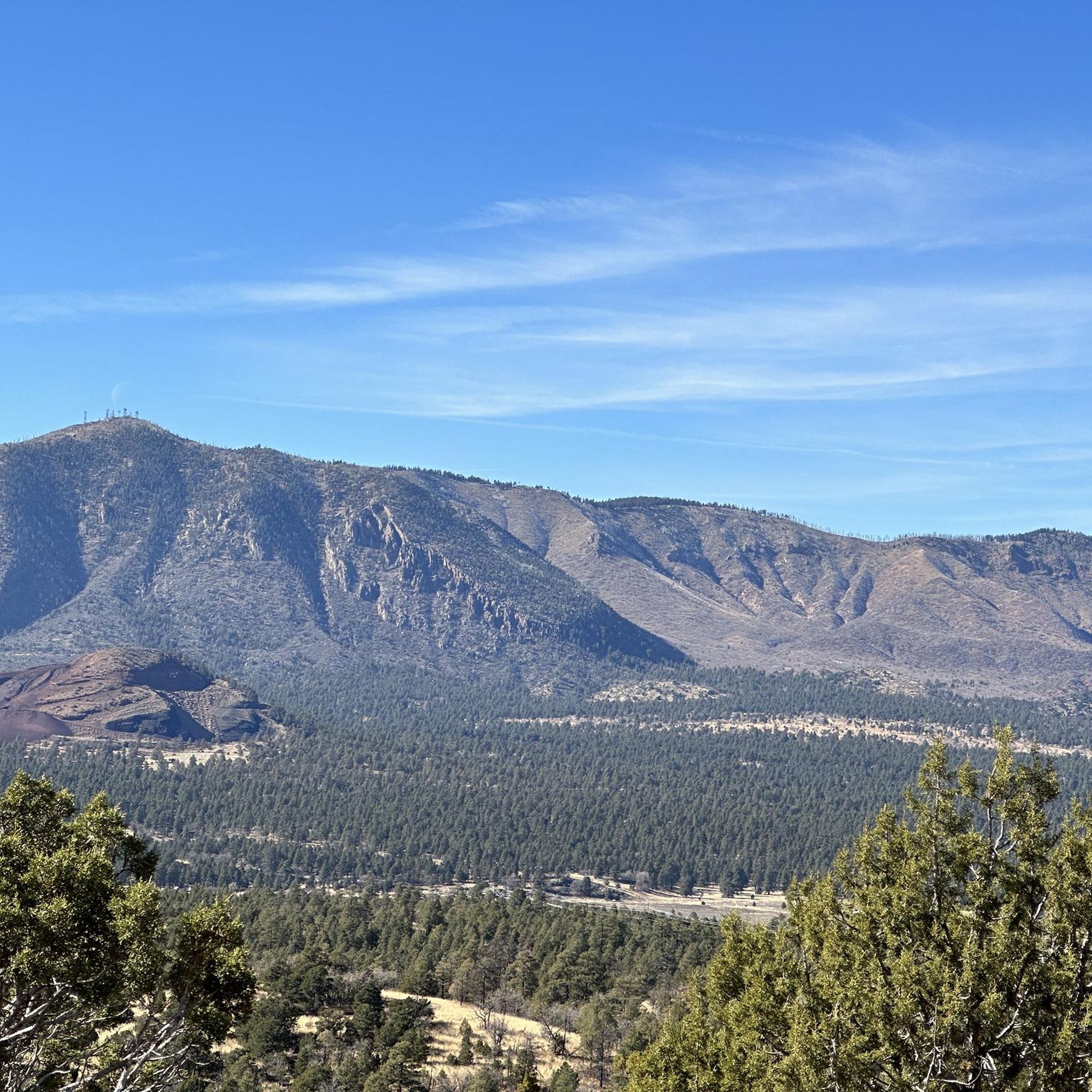
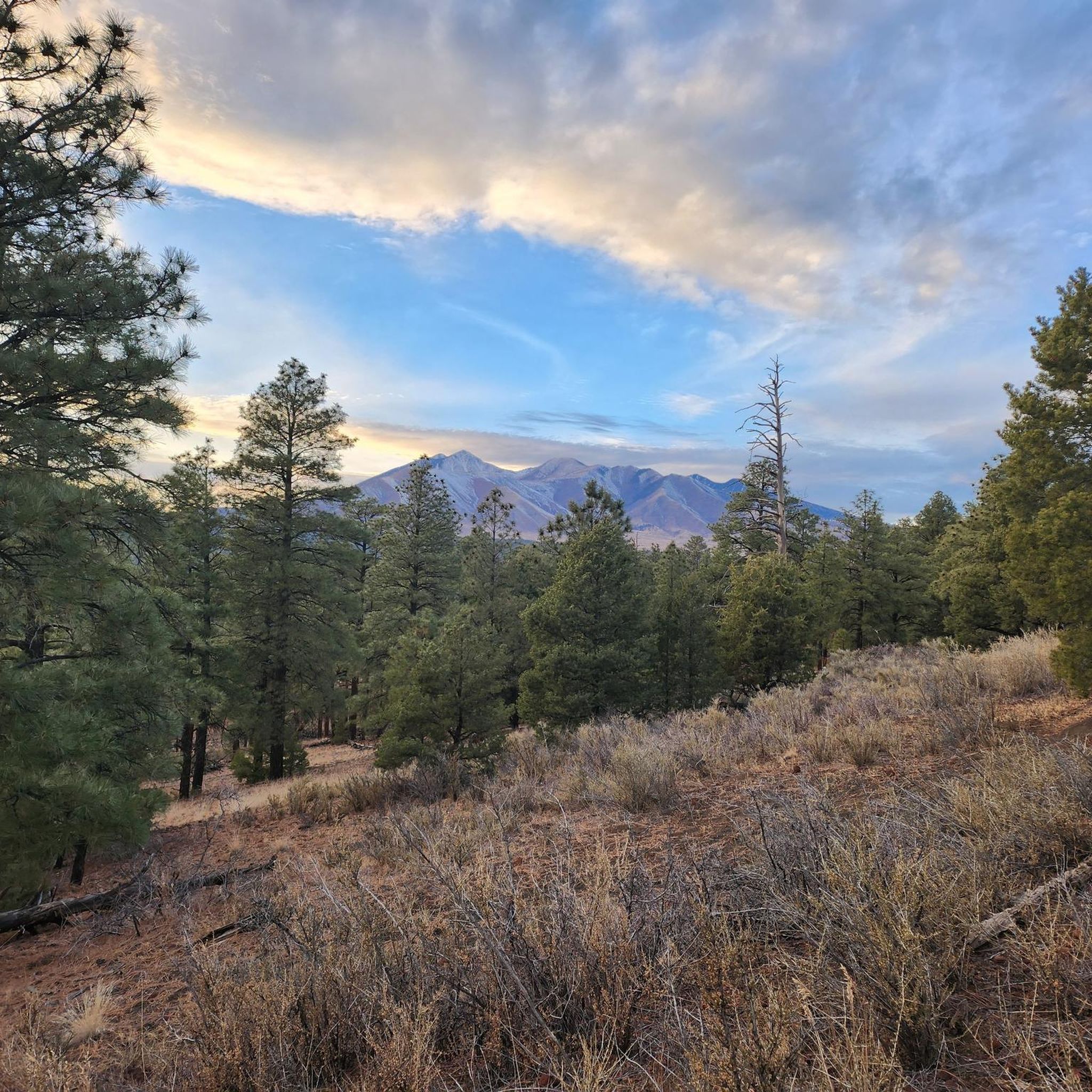
Jogging routes around Doney Park traverse a unique volcanic landscape characterized by cinder cones and lava flows, set against a backdrop of the San Francisco Peaks and Mount Elden. The region features extensive ponderosa pine forests and open meadows, offering varied terrain for runners. This area provides a serene environment for outdoor activities, with routes that showcase the distinctive geology and natural beauty of northern Arizona.
Best jogging routes around Doney Park
- The most popular jogging route is Log Cabin…
Last updated: October 1, 2026
31
runners
10.5km
01:49
720m
720m
Hard run. Very good fitness required. Mostly accessible paths. Some sure footedness required.
28
runners
10.4km
01:11
40m
40m
Moderate run. Good fitness required. Mostly paved surfaces. Suitable for all skill levels.

27
runners
9.73km
01:06
90m
90m
Moderate run. Good fitness required. Mostly paved surfaces. Suitable for all skill levels.
16
runners
6.48km
00:41
50m
50m
Moderate run. Good fitness required. Mostly paved surfaces. Suitable for all skill levels.
16
runners
13.9km
01:40
550m
550m
Hard run. Very good fitness required. Mostly paved surfaces. Suitable for all skill levels.
Get access to more routes and recommendations from other explorers.
Already have an account?
Our route recommendations are based on thousands of hikes, rides, and runs completed by other people on komoot.
Start today with a free account
Your next adventure awaits.
Tips from the Community

Enjoy this mild part of trail that slowly gains elevation and winds across the mountain before you come to the steepest section of trail. Plan to pass through pinyon-juniper woodland sand ponderosa pine forests, as well as shrubbed, rocky areas during your time on this section. The end of this section is also a great place to stop and take a break before you begin the switchbacks up, up, up to Mount Elden or continue onto the Fatman's Loop.
0
0
Fatman's Rock is what gives the trail its name. There are a couple large boulders in the middle of the trail that you have to make your way between. Legend has it that you will get stuck if you are fat; in reality, the gap isn't going to be a tight squeeze for anyone. The rocks make for a pretty cool trail feature, though!
0
0
Fatman's Rock is what gives the trail its name. There are a couple large boulders in the middle of the trail that you have to make your way between. Legend has it that you will get stuck if you are fat; in reality, the gap isn't going to be a tight squeeze for anyone. The rocks make for a pretty cool trail feature, though!
0
0

Walnut Meadow Trail is a fun and easy trail for all levels of riding. Combine it with the Campbell Mesa Trail to make it longer.
0
0

With its highest point reaching 9,288 feet, it is a formidable challenge for cyclists. The most popular route, Elden Lookout Road, is a 12.5-mile climb with an elevation gain of over 3,500 feet, testing your endurance and legs. As you ascend, you'll be rewarded with breathtaking panoramic views of the San Francisco Peaks, the city of Flagstaff, and the surrounding valleys, making the effort truly worthwhile.
1
0

Old Duck Pond is a peaceful pond found along the Flagstaff Urban Trail System, with a wide diversity of resident birds and ducks. The paved path runs along Buffalo Park, and is a smooth, flat trail with views of the meadows, Elden Mountain, and Mount Humphreys in the background.
0
0

The steep trail up Elden Mountain challenges runners with its punishing incline, but those who persevere are rewarded with breathtaking 360-degree views of northern Arizona's landscape from the 9,300-foot summit. Remember to pack plenty of water for a well-deserved break at the top to take in the stunning vistas.
0
0
Elden Mountain (also known as Mount Elden) is Flagstaff's local mountain, towering over 2,000 feet above the city. Climbing this peak will take you through aspen groves, rocky outcrops, and the remains of a burned forest. The tower at the top is not to be climbed, but you are still exposed to 360 views from the peak and saddle.
1
0
Frequently Asked Questions
How many running routes are available in the Doney Park area?
There are over 80 dedicated running routes around Doney Park, catering to various skill levels. You'll find a good mix, with 5 easy routes, 55 moderate options, and 20 more challenging trails for experienced runners.
Are there any easy or beginner-friendly jogging trails in Doney Park?
Yes, Doney Park offers several easy running options. For a relatively flat and accessible experience with scenic views, consider Buffalo Park, which features a 2.2-mile main loop. While not directly in Doney Park, it's a popular nearby choice known for its smooth surface and views of Elden Mountain and Mount Humphreys.
Can I bring my dog on the running trails in Doney Park?
Many trails in the Doney Park area are dog-friendly. For example, the Old Caves Crater Trail is a 4.2-mile loop that welcomes dogs, offering beautiful wildflowers and a chance to explore the unique volcanic landscape. Always ensure your dog is on a leash and follow local regulations.
Are there any circular running routes in Doney Park?
Yes, many of the running paths in Doney Park are circular, allowing you to start and end at the same point. A great option is the Log Cabin Tank loop from Golf Ball Shed, a moderate 11.7 km route that takes you through the distinctive local terrain.
What kind of scenery can I expect on the running routes around Doney Park?
Jogging routes around Doney Park offer diverse and stunning scenery. You'll experience unique volcanic landscapes with cinder cones and lava flows, extensive ponderosa pine forests, and open meadows. Many trails provide panoramic views of the majestic San Francisco Peaks and Mount Elden, creating a dramatic backdrop for your run.
Are there any interesting landmarks or attractions to see while running in Doney Park?
While running, you'll be immersed in the natural beauty of the area. For specific landmarks, consider routes near Elden Mountain Lookout Tower for incredible views. The region is also close to natural monuments like Walnut Canyon National Monument and Sunset Crater, offering unique geological sights.
What do other runners enjoy most about jogging in Doney Park?
The running routes in Doney Park are highly rated by the komoot community, with an average score of 5.0 stars from 7 reviews. Runners often praise the serene environment, the unique volcanic landscapes, and the varied terrain that offers both challenging and leisurely options amidst spectacular scenery.
Are there any running routes that offer views of the San Francisco Peaks?
Absolutely! Many routes in the Doney Park area provide breathtaking views of the San Francisco Peaks. The region's open meadows and higher elevations offer excellent vantage points. For example, Peaks View County Park in Doney Park has a walking trail specifically designed for views of these majestic mountains.
What is the best time of year to go running in Doney Park?
Doney Park offers great running opportunities throughout much of the year. The Old Caves Crater Trail, for instance, is suitable for jogging from March to November, showcasing beautiful wildflowers. Fall is particularly stunning with the changing foliage of aspen trees in areas like Lockett Meadow, offering a unique running experience.
Are there any routes that pass by historical or cultural sites?
While Doney Park is primarily known for its natural landscapes, you can find routes that offer glimpses into the past. The Waterbird Petroglyphs loop from Wildcat Hill is a moderate 5.5 km route that allows you to explore an area with historical significance. Additionally, nearby Island Trail is listed as a historical site.
Are there any challenging running trails for experienced runners in Doney Park?
Yes, for those seeking a more challenging run, the Doney Park area provides options. The steep trail up Elden Mountain, though not a specific komoot route in this guide, is a well-known local challenge that rewards perseverance with breathtaking 360-degree views from its 9,300-foot summit. Within the komoot guide, there are 20 routes classified as difficult.
Are there any running routes suitable for families with children?
For families, routes that are relatively flat and well-maintained are ideal. While not a specific komoot route in this guide, Buffalo Park, located nearby, is a popular choice due to its smooth, 2.2-mile main loop that is even suitable for strollers. Within Doney Park itself, Peaks View County Park offers a walking trail and a playground, making it a good spot for a family outing.
Most popular attractions around Doney Park

Get inspired with the komoot mobile app


Explore more
Browse the best Running Trails & Routes in other regions.
