The best road cycling routes around Casas Adobes
4.7
(150)
7,205
riders
26
rides
Road cycling routes around Casas Adobes traverse the Sonoran Desert environment, characterized by saguaro cacti and diverse desert flora. The region features an extensive network of paved paths, including sections of the Chuck Huckleberry Loop, which provide car-free riding along riverbeds. Cyclists can find routes ranging from gentle, flat sections to more challenging climbs with significant elevation gains towards the Santa Catalina Mountains. The landscape offers a distinct backdrop for road cycling.
Best road cycling routes around Casas Adobes
- The…
Last updated: September 30, 2026
5.0
(3)
161
riders
23.8km
01:04
60m
60m
Easy road ride. Great for any fitness level. Mostly well-paved surfaces and easy to ride.
5.0
(2)
142
riders
Moderate road ride. Good fitness required. Some segments of this route may be unpaved and difficult to ride.

5.0
(4)
121
riders
41.0km
01:49
130m
130m
Easy road ride. Great for any fitness level. Mostly well-paved surfaces and easy to ride.
104
riders
Moderate road ride. Good fitness required. Some segments of this route may be unpaved and difficult to ride.
5.0
(1)
128
riders
Moderate road ride. Good fitness required. Some segments of this route may be unpaved and difficult to ride.
Get access to more routes and recommendations from other explorers.
Already have an account?
Our route recommendations are based on thousands of hikes, rides, and runs completed by other people on komoot.
Start today with a free account
Your next adventure awaits.

Tips from the Community

Art can be found throughout The Loop. Both contemporary art, like this piece, and indigenous art.
1
0
A great cycle path that is made up of several sections and is over 100 miles long in total.
1
0

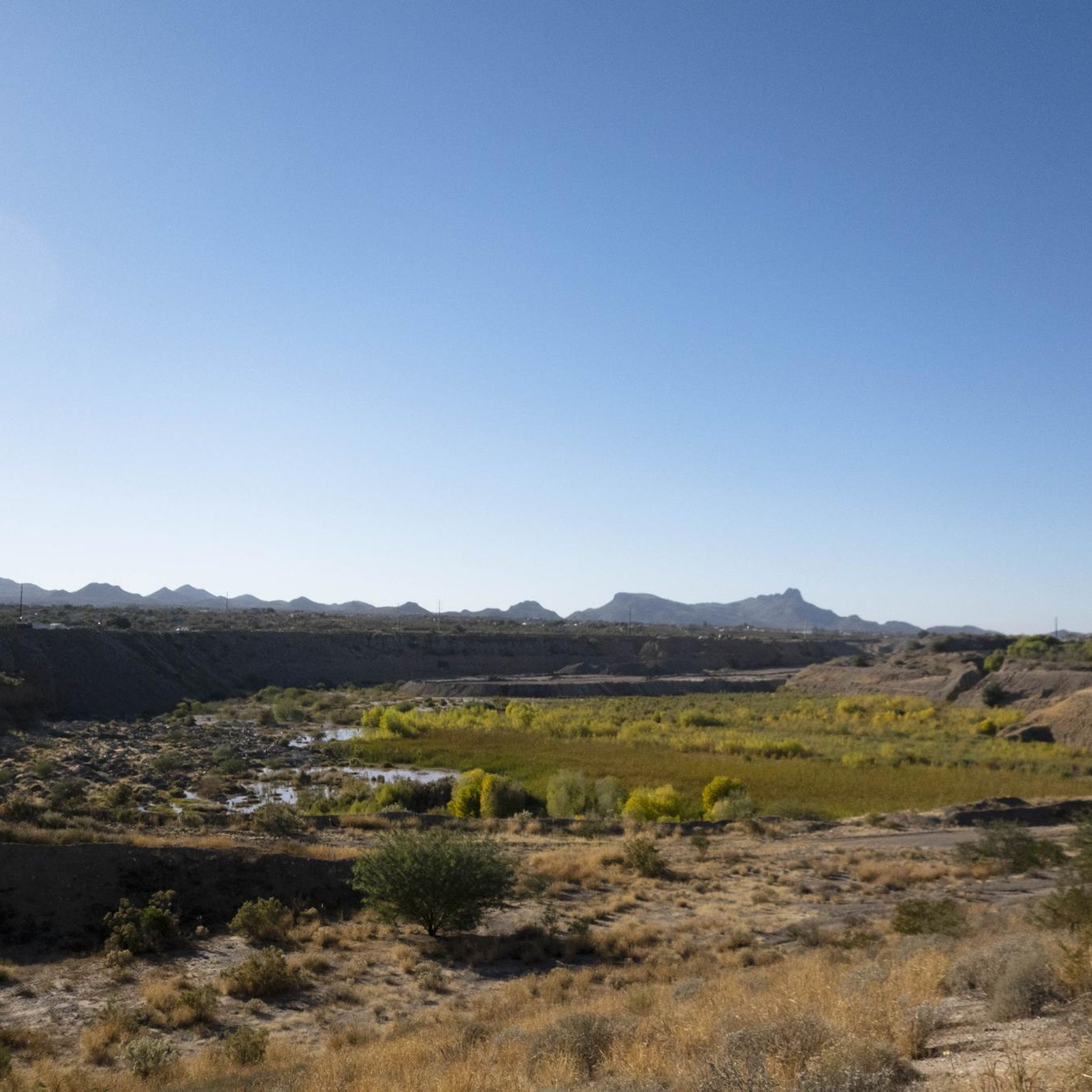
The Cañada del Oro River Park is a 30‑acre community green space along the Cañada del Oro wash. The park has picnic areas, playgrounds, and several miles of hiking trails.
0
0

The half-mile trail crosses West Gate Road at a convenient trailhead with maps, and continues on either side to connect Gate Pass Trail with Golden Gate Trail in the south.
0
0

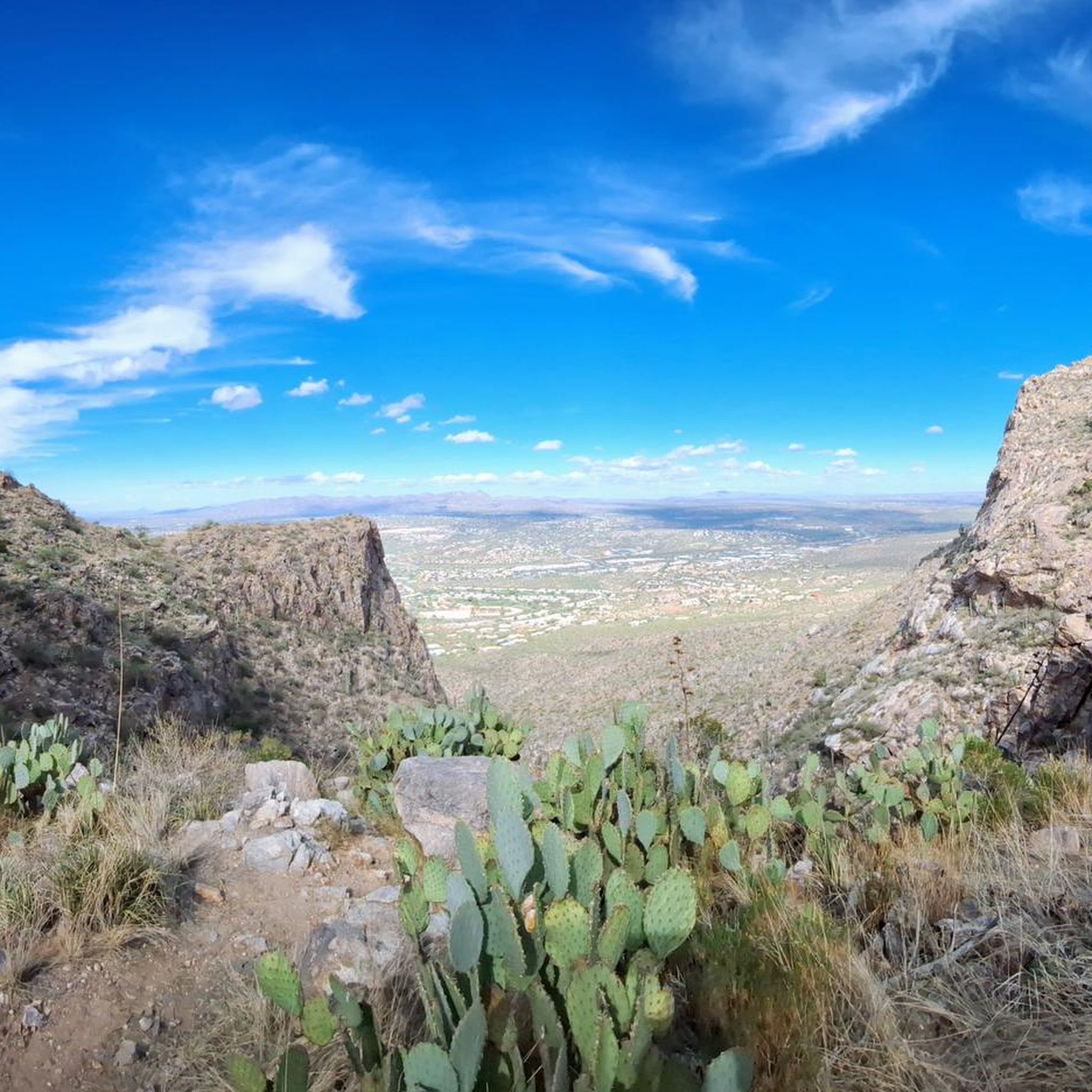
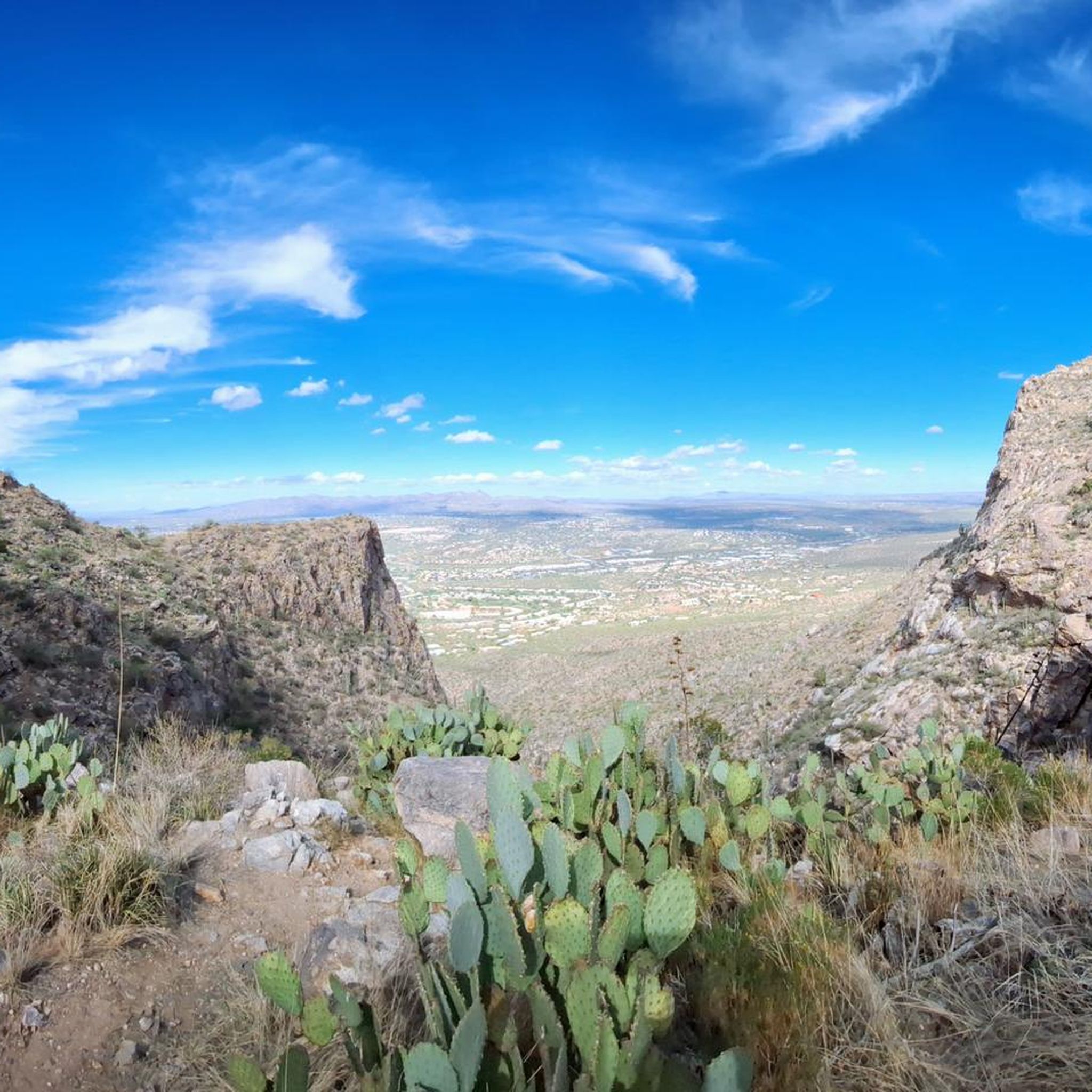
Honeybee Canyon Park is a hidden desert gem with stunning rock formations, towering cacti, and beautiful views of the Pusch Ridge Mountains. There are three miles of hiking trails, a historic rock dam, and ancient petroglyphs created by the Hohokam people over a thousand years ago. It is open year-round and ideal for hiking and mountain biking. The park is home to a diverse range of wildlife, including coyotes, deer, bobcats, and even mountain lions, so be sure to stay aware of your surroundings. Shade is limited, so bring plenty of water and sun protection as you explore this beautiful park.
0
0

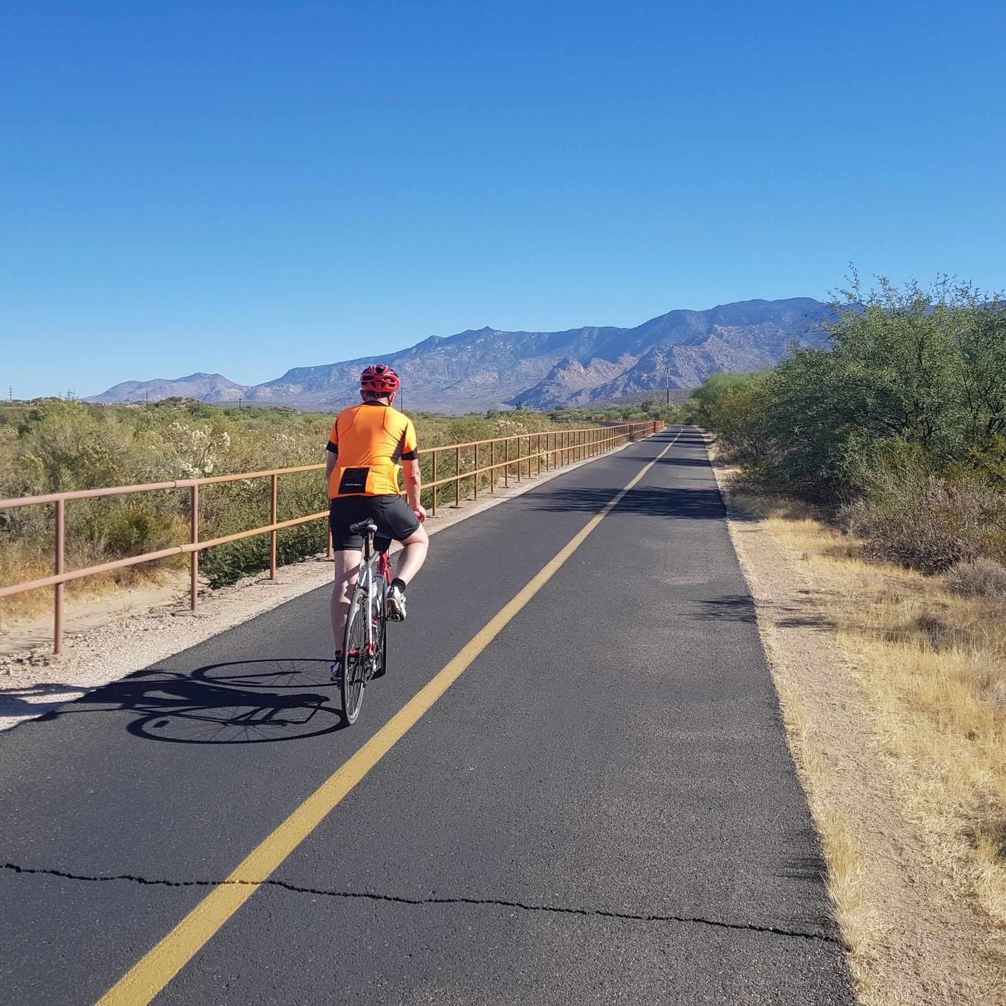
This is a beautiful, paved two-lane multi-use path that grants you sweeping views of the desert and of Mount Lemmon. The path is about ten miles long end-to-end and takes you along the northern edge of Tucson. Be sure to visit at sunrise or sunset for some spectacular views.
0
0
This is a beautiful, paved two-lane multi-use path that grants you sweeping views of the desert and of Mount Lemmon. The path is about ten miles long end-to-end and takes you along the northern edge of Tucson. Be sure to visit at sunrise or sunset for some spectacular views.
0
0

The Cañada del Oro River Trail offers over 4 miles of paved, dual lane, multi-use trail along the Cañada del Oro River Wash. The views of the mountains surrounding the trail are stunning, just be sure to keep an eye out for other trail users.
0
0
Frequently Asked Questions
How many road cycling routes are available around Casas Adobes?
Casas Adobes offers a wide selection of road cycling routes, with nearly 90 options available in the broader region. Our guide features 19 curated routes, ranging from easy to moderate difficulty, ensuring there's something for every road cyclist.
What is the best time of year for road cycling in Casas Adobes?
The ideal months for road cycling in Casas Adobes are typically May and November, when the weather is most favorable. While cycling is possible year-round, riders should be mindful of summer heat and plan accordingly.
What kind of terrain can I expect on road cycling routes in Casas Adobes?
Road cycling in Casas Adobes primarily features paved paths through the stunning Sonoran Desert landscape, characterized by saguaro cacti. You'll find routes along riverbeds, offering smooth, car-free sections, as well as more challenging climbs with significant elevation gains, such as those leading towards Mount Lemmon or Gates Pass.
Are there easy road cycling routes suitable for beginners in Casas Adobes?
Yes, there are several easy road cycling routes perfect for beginners. For instance, the Juan Bautista de Anza Trail – Garden of Gethsemane Park loop from American Automobile Association is an easy 26.6-mile (42.7 km) route. Many sections of the Chuck Huckelberry Loop also offer gentle, flat riding.
Where can I find challenging road cycling routes with significant climbs?
For those seeking significant elevation gains, Mount Lemmon stands out as one of Arizona's premier road biking climbs, offering nearly 8,000 feet of ascent. Additionally, the Dan Yersavich Memorial Bikeway includes uphill sections towards Saguaro National Park, and Gates Pass provides scenic rides with both climbs and descents.
Are there any car-free or traffic-light road cycling options in Casas Adobes?
Absolutely. A major highlight is the Chuck Huckelberry Loop, often called 'The Loop,' which is a 137-mile paved and car-free urban bike path. Key sections like the Rillito River Park Trail, Santa Cruz River Park Trail, and Cañada del Oro River Park Trail offer smooth asphalt surfaces without vehicular traffic.
What scenic attractions can I see along the road cycling routes?
The routes offer access to the iconic Sonoran Desert environment with its saguaro cacti. You can explore areas near Saguaro Cacti, Finger Rock Trailhead, and the Maiden Pools. The region also provides access to Saguaro National Park, Catalina State Park, and the Tohono Chul Botanical Gardens.
What do other road cyclists enjoy most about the routes in Casas Adobes?
The road cycling routes in Casas Adobes are highly rated by the komoot community, with an average score of 4.7 stars from over 80 reviews. Riders frequently praise the diverse terrain, the stunning desert scenery with saguaro cacti, and the extensive network of paved river park trails that cater to various ability levels.
Are there family-friendly road cycling routes in Casas Adobes?
Yes, many sections of the Chuck Huckelberry Loop are excellent for family-friendly rides due to their paved, car-free nature and relatively flat terrain. These paths offer a safe and enjoyable environment for cyclists of all ages.
Where can I park my car when accessing road cycling trails in Casas Adobes?
Access points to the Chuck Huckelberry Loop and other paved trails often have designated parking areas. For specific routes, it's advisable to check the route details on komoot, as many start from parks or public access points with parking facilities.
Can you recommend a moderate-difficulty road cycling route that explores the local trail network?
A great moderate option is the Garden of Gethsemane Park – Juan Bautista de Anza Trail loop from Tohono Chul. This 51.2-mile (82.4 km) route takes about 3 hours 23 minutes and navigates through various parts of the local trail network, offering a good balance of distance and moderate elevation.
Is there a road cycling route that follows the Rillito River?
Yes, the Rillito River Path – Rillito River Path loop from Tohono Chul is a popular moderate route. It's a 30.9-mile (49.7 km) path that follows the Rillito River, providing smooth asphalt surfaces and scenic views along the waterway.
Are there road cycling routes that pass through desert landscapes?
Definitely. The Tohono Chul Park – El Rio Preserve loop from Tohono Chul is a 52.3-mile (84.2 km) route that leads directly through the captivating desert landscape, allowing you to immerse yourself in the unique Sonoran Desert environment.
Most popular attractions around Casas Adobes

Get inspired with the komoot mobile app


Explore more
Browse the best Road cycling routes in other regions.
