The best walks and hikes around Suhrer Lake
4.6
(13116)
46,249
hikers
716
hikes
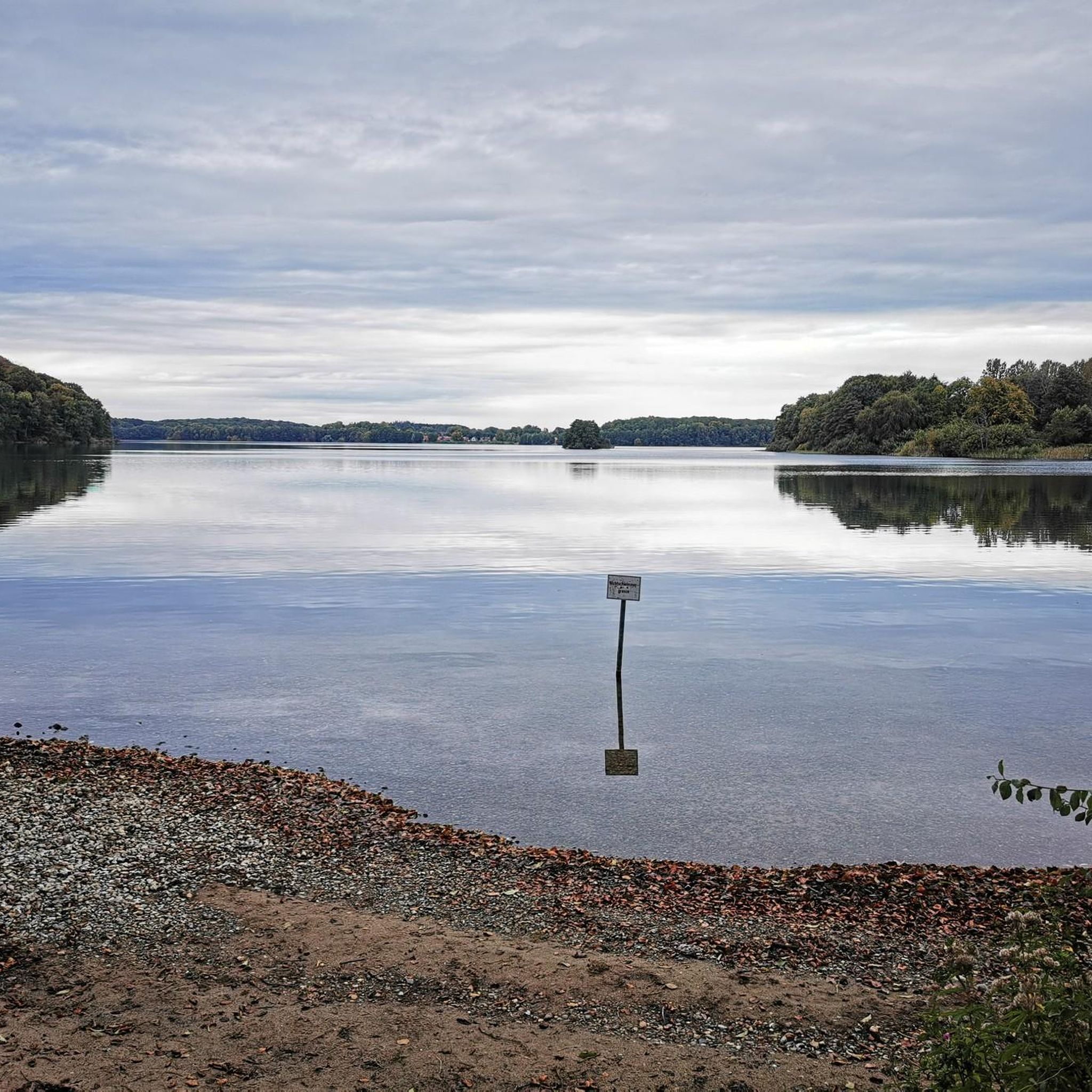
Hiking trails around Suhrer Lake are characterized by gentle terrain and low elevation changes, making them accessible for various fitness levels. The region features a network of paths connecting Suhrer Lake with neighboring bodies of water like Behler Lake and Dieksee, often passing through forested areas and open landscapes. These routes provide opportunities to explore the natural surroundings of Plön, Germany, with views across the lakes and through local villages.
Best hiking trails around Suhrer Lake
- The most popular hiking…
Last updated: August 15, 2026
4.7
(194)
481
hikers
Moderate hike. Great for any fitness level. Mostly accessible paths. Sure-footedness required.
4.8
(6)
33
hikers
Hard hike. Very good fitness required. Easily-accessible paths. Suitable for all skill levels.

Sign up for free
4.4
(5)
35
hikers
Easy hike. Great for any fitness level. Easily-accessible paths. Suitable for all skill levels.
4.7
(3)
13
hikers
Easy hike. Great for any fitness level. Easily-accessible paths. Suitable for all skill levels.
4.0
(3)
21
hikers
Easy hike. Great for any fitness level. Easily-accessible paths. Suitable for all skill levels.
Get access to more routes and recommendations from other explorers.
Sign up for free
Already have an account?
Our route recommendations are based on thousands of hikes, rides, and runs completed by other people on komoot.
Start today with a free account
Your next adventure awaits.
Login or Signup
Tips from the Community

Hut with a trash can, located on a narrow country lane.
1
0

Shelter on the loop around the lake
0
0
Shelter on the path around the Dieksee
0
0

The tent camp is idyllically nestled between Behler See and Langensee... The perfect adventure playground for children.
1
0
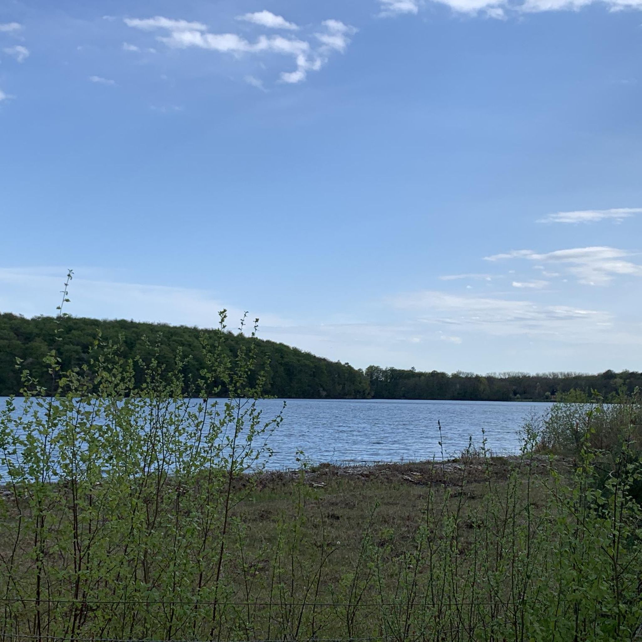
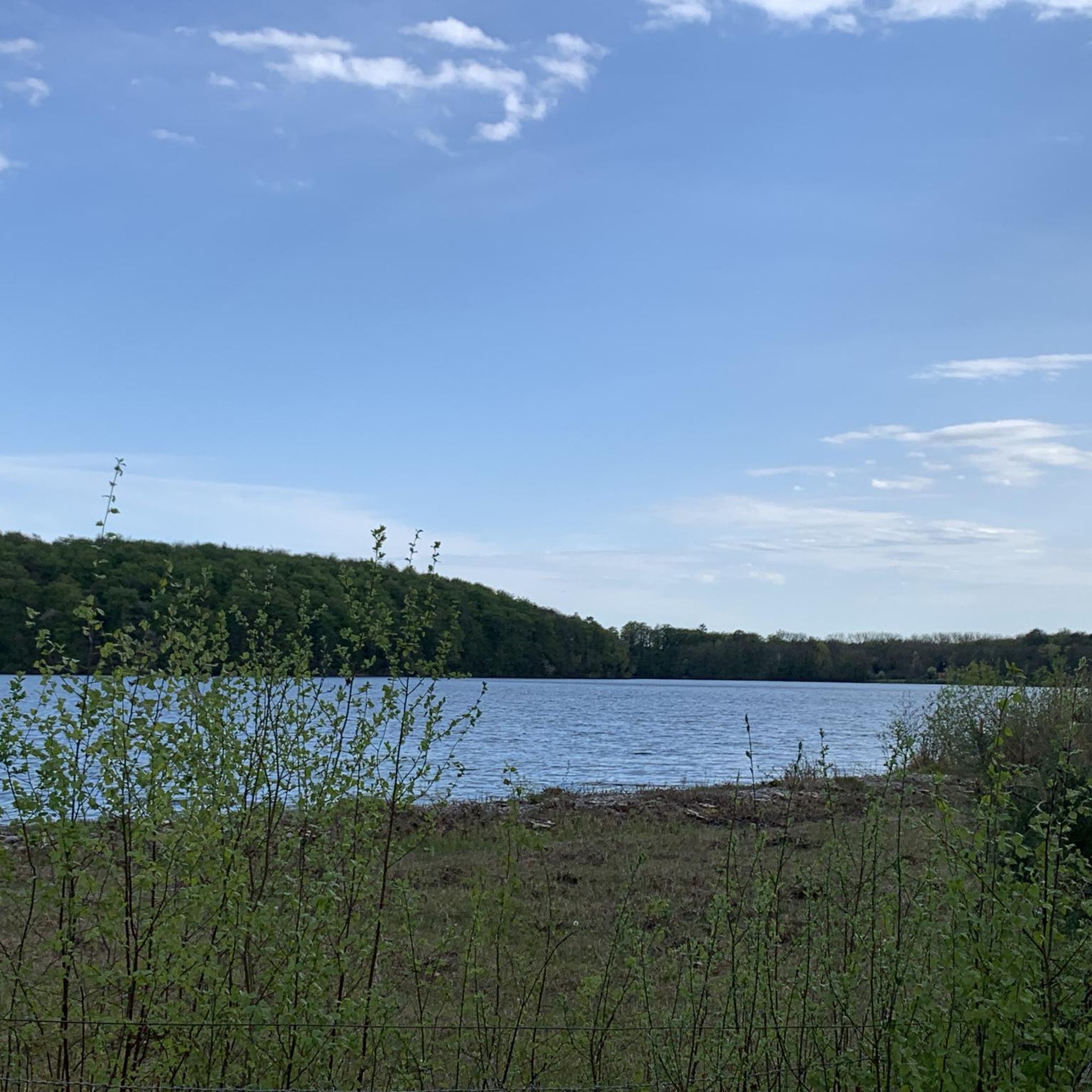
Not a particularly nice view of the lake... nevertheless a nice resting place... in summer hay is stacked up to dry in the adjacent meadows.
1
1
Perfectly situated for a short rest stop for hikers between Suhrer See and Langensee
1
0
A pretty little river that flows into the Kellersee lake... it is spanned here by two bridges... the Malenter Au was renaturalized years ago...
2
0
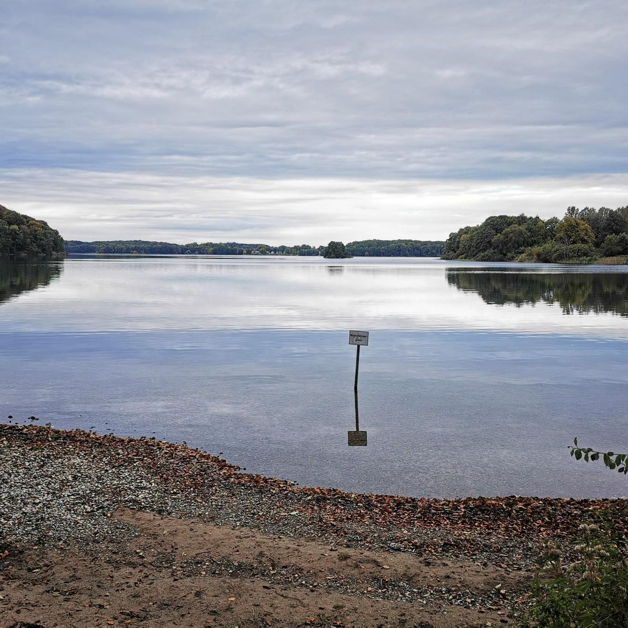
Beautiful view from the shore of the Kellersee across the lake of the same name towards Eutin
1
0
Frequently Asked Questions
How many hiking trails are available around Suhrer Lake?
There are over 700 hiking routes around Suhrer Lake, offering a wide variety of options for all skill levels. This includes more than 420 easy routes, 240 moderate routes, and 40 difficult trails.
What kind of terrain and elevation changes can I expect on hikes around Suhrer Lake?
Hikes around Suhrer Lake are generally characterized by gentle terrain and low elevation changes. The paths often wind through forested areas, open landscapes, and connect various lakes, making them accessible for different fitness levels. While most routes are relatively flat, some longer trails may feature slightly more varied topography.
Are there easy hiking options suitable for families or beginners around Suhrer Lake?
Yes, Suhrer Lake offers many easy hiking options perfect for families and beginners. For example, the Bathing area at Lake Suhr – Hohenrader Forst swimming spot loop from Bösdorf is an easy route that allows for a pleasant stroll. The region's network of paths provides numerous gentle trails.
Can I find circular hiking routes around Suhrer Lake?
Yes, many of the hiking routes around Suhrer Lake are circular, allowing you to start and end at the same point. An example is the Behler Lake – View of Behler See loop from Suhrer See und Umgebung, which offers scenic views and brings you back to your starting location.
What are some interesting landmarks or viewpoints to see while hiking around Suhrer Lake?
While hiking around Suhrer Lake, you can discover several points of interest. Many routes offer views of Suhrer See itself, and you might pass by the Swimming spot at Suhrer See. Longer routes often connect to neighboring bodies of water like Behler Lake and Dieksee, where you can find viewing platforms. The Picnic Area at Suhrer See Nature Reserve is another pleasant spot.
Is public transport available to reach the hiking trails around Suhrer Lake?
While specific public transport details for every trailhead are not available in the guide data, the region around Plön, Germany, generally has local bus services that connect villages and towns. It is advisable to check local transport schedules for connections to the Suhrer Lake area before your visit.
Where can I park my car when visiting Suhrer Lake for a hike?
Parking availability can vary by trailhead. Many popular starting points for hikes around lakes in Germany often have designated parking areas. For specific routes, it's recommended to check the route details on komoot for information on nearby parking facilities, especially for trails like the Niederkleveez Village – Bathing area at Lake Suhr loop from Suhrer See und Umgebung.
What is the best time of year to go hiking around Suhrer Lake?
The gentle terrain around Suhrer Lake makes it suitable for hiking throughout much of the year. Spring and autumn offer pleasant temperatures and beautiful natural colors, while summer is ideal for combining hikes with swimming in the lake. Winter hikes can also be charming, though conditions may require appropriate gear.
Are there places to eat or drink near the hiking trails around Suhrer Lake?
The region around Suhrer Lake, particularly near the town of Plön and surrounding villages, offers various amenities including cafes and pubs. While specific establishments directly on every trail are not listed, you will find options in nearby settlements to refuel after your hike.
What do other hikers say about the trails around Suhrer Lake?
The hiking routes around Suhrer Lake are highly regarded by the komoot community, with an impressive average rating of 4.6 stars from over 11,000 reviews. Hikers frequently praise the interconnected lake paths, the mix of gentle forest trails, and the open countryside, highlighting the area's natural beauty and accessibility.
Are there opportunities for swimming near the hiking trails around Suhrer Lake?
Yes, Suhrer Lake offers opportunities for swimming. You can find designated spots like the Swimming spot at Suhrer See. Some hiking routes, such as the Bathing area at Lake Suhr – Hohenrader Forst swimming spot loop from Bösdorf, even lead directly to bathing areas, making it easy to combine a hike with a refreshing dip.
How long do hikes around Suhrer Lake typically take?
Hikes around Suhrer Lake vary significantly in length and duration. You can find shorter walks that take around 1.5 hours, such as the Behler Lake – View of Behler See loop from Suhrer See und Umgebung. For those seeking a longer adventure, trails like the Dieksee Trail – Viewing platform at the Dieksee loop from Suhrer See und Umgebung can take over 7 hours to complete.
Are there any longer, more challenging routes for experienced hikers around Suhrer Lake?
Yes, while many routes are gentle, there are options for experienced hikers looking for a longer challenge. The Dieksee Trail – Viewing platform at the Dieksee loop from Suhrer See und Umgebung is a difficult 27.8 km (17.3 miles) trail that leads through varied lake and forest landscapes, typically taking over 7 hours to complete.
Most popular routes around Suhrer Lake
Most popular attractions around Suhrer Lake

Get inspired with the komoot mobile app


Explore more
Browse the best Hikes in other regions.
