The best road cycling routes around Tempe
4.3
(58)
2,790
riders
46
rides
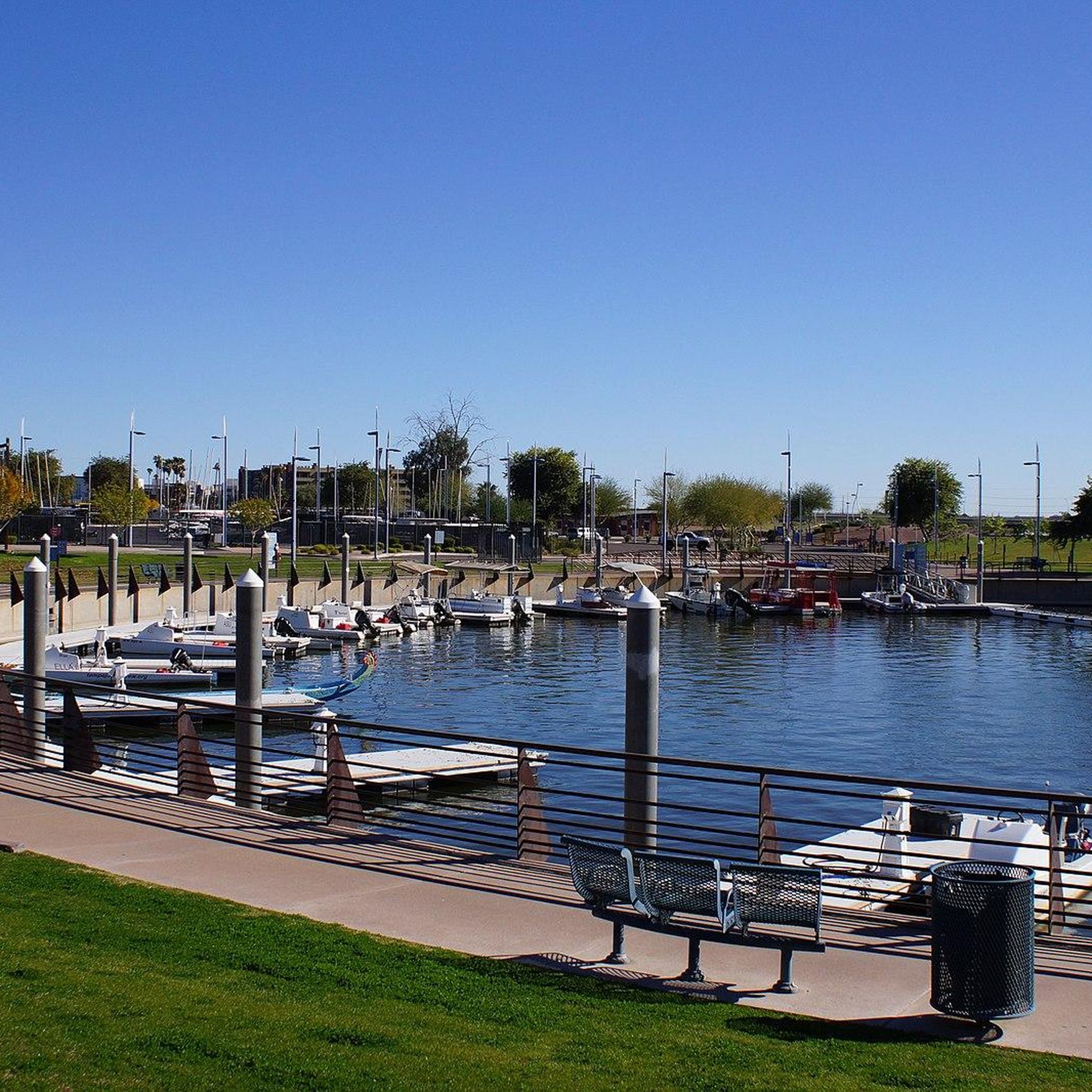
Road cycling around Tempe benefits from an extensive network of bikeways, offering diverse routes through urban and desert landscapes. The region features flat canal paths, scenic lakeside loops around Tempe Town Lake, and routes through distinctive red rock formations in areas like Papago Park. With a generally flat profile in many areas, some routes also offer varied elevation gains towards natural preserves.
Best road cycling routes around Tempe
- The most popular road cycling route is Phoenix Mountains Preserve & Papago Park loop, a 35.9 miles (57.7 km) trail that takes 2 hours 31 minutes to complete, combining urban paths with desert scenery.
- Another top favourite among local road cyclists is Scenic view of Camelback – Arizona Falls loop from Camelback East, a moderate 23.1 miles (37.2 km) path offering views of prominent landmarks.
- Local road cyclists also love the Sun Circle Trail Canal Bike Path – Pavilion at McQueen Park loop from McClintock Dr & Southshore Dr, a 24.1 miles (38.8 km) trail leading through canal paths and urban parks, often completed in about 2 hours 12 minutes.
- Road cycling around Tempe is defined by urban lakefronts, desert parks, and extensive canal paths. The network offers options for different ability levels, from easy, flat rides to routes with moderate climbs.
- The routes in Tempe are highly rated by the komoot community with an average score of 4.6 stars from over 13 reviews. More than 900 road cyclists have used komoot to explore Tempe's varied terrain.
Last updated: July 7, 2026
5.0
(2)
78
riders
57.7km
02:31
260m
260m
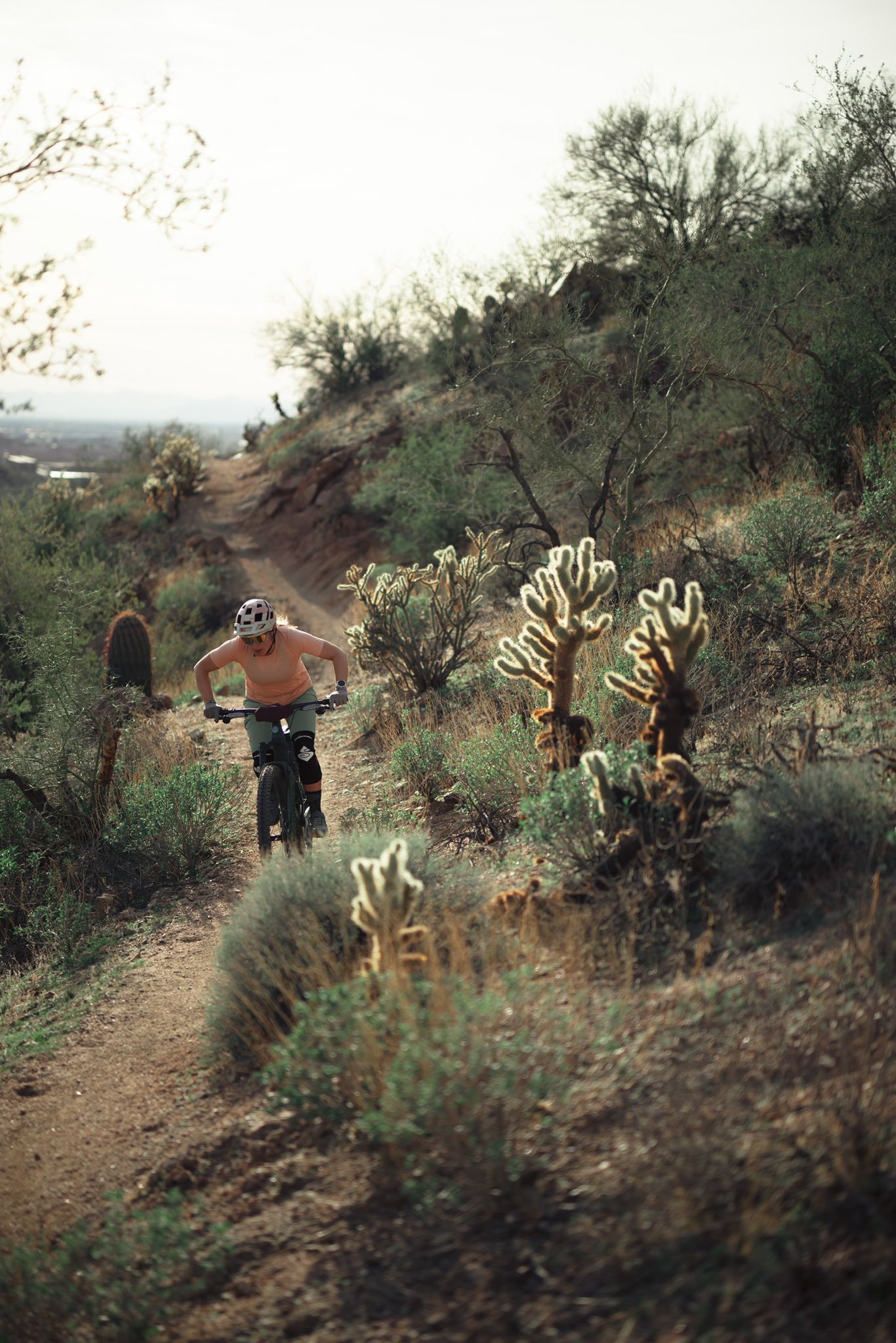
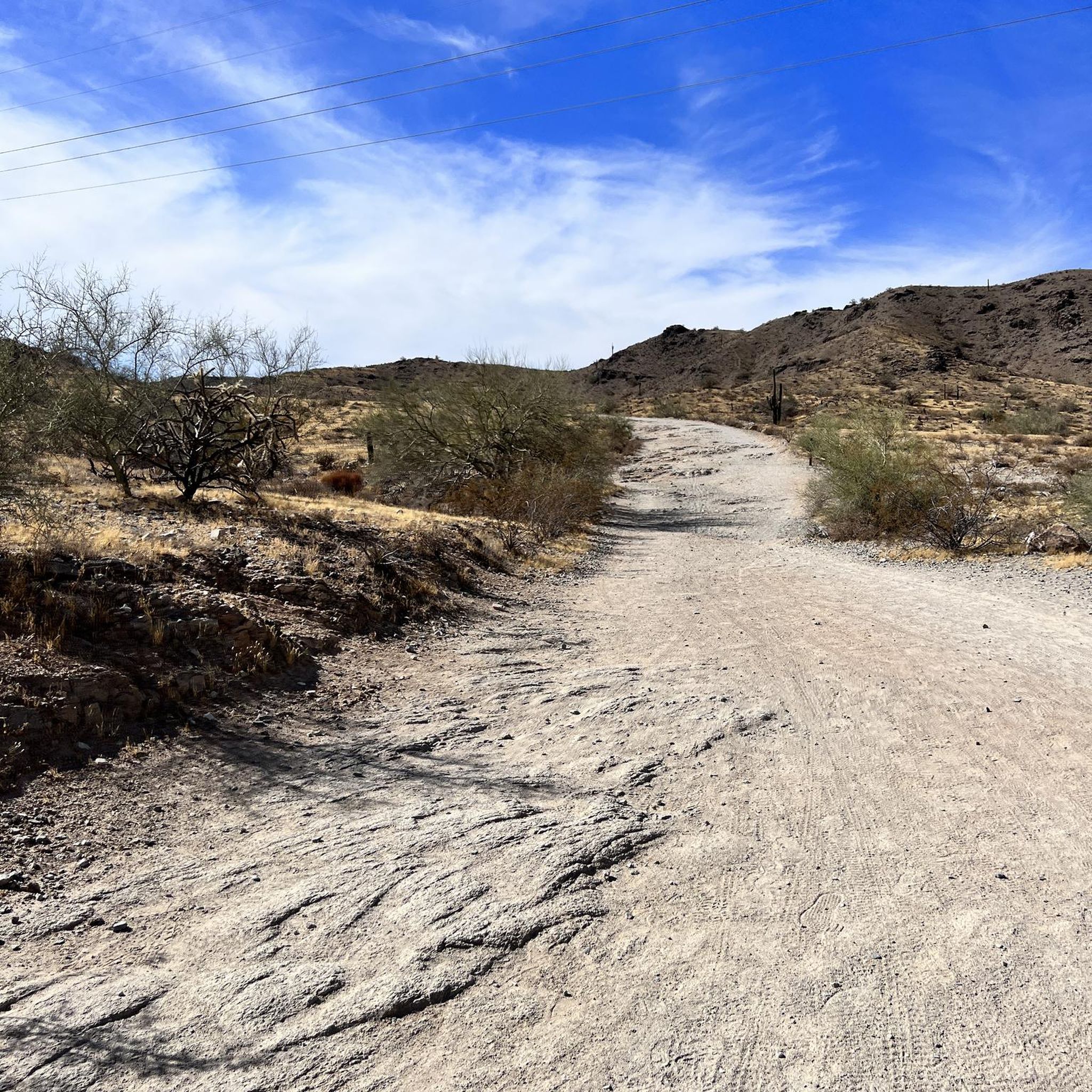
Cycle 35.9 miles through Phoenix Mountains Preserve and Papago Park, enjoying red rock formations and desert scenery.
5.0
(1)
126
riders
Moderate road ride. Good fitness required. Some segments of this route may be unpaved and difficult to ride.

Sign up for free
59
riders
70.4km
03:11
640m
640m
Moderate road ride. Good fitness required. Mostly well-paved surfaces and easy to ride.
5.0
(2)
62
riders
Moderate road ride. Great for any fitness level. Some segments of this route may be unpaved and difficult to ride.
5.0
(1)
51
riders
59.3km
02:57
170m
170m
Moderate road ride. Good fitness required. Some segments of this route may be unpaved and difficult to ride.
Get access to more routes and recommendations from other explorers.
Sign up for free
Already have an account?
Our route recommendations are based on thousands of hikes, rides, and runs completed by other people on komoot.
Start today with a free account
Your next adventure awaits.
Login or Signup

Other adventures around Tempe

Tips from the Community

The fitness loop around the golf course is perfect for a Gravel bike.
1
0

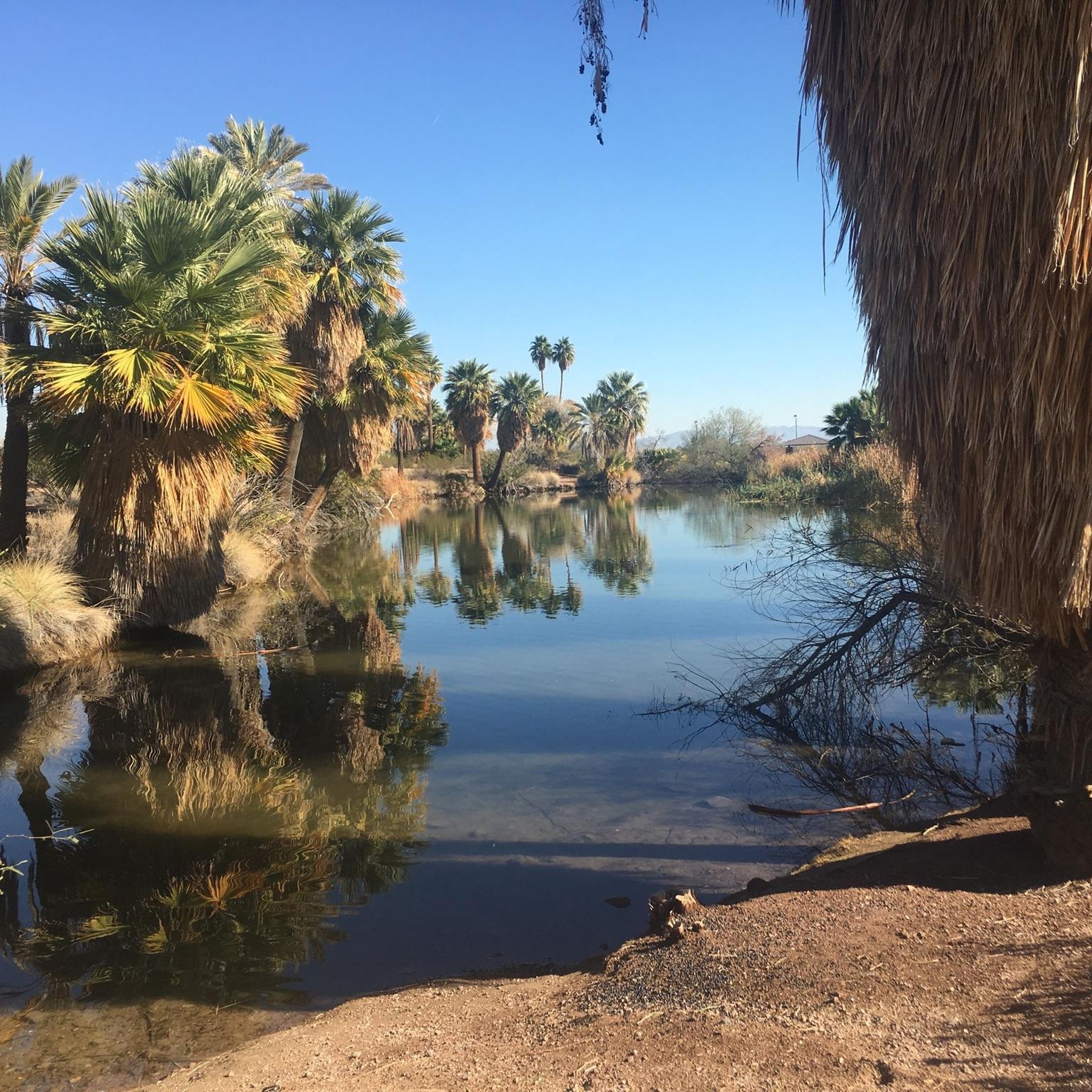
Demonstration Wetland is a series of three wetlands and an aeration pond. They were designed to help alleviate a pollution problem from the waste products of thousands of nesting birds annually. The demonstration garden shows visitors how wetlands can improve water quality and be a natural solution to waste management.
0
0

The Rio Salado Pathway travels along the Salt River from Tempe Town Lake to a large wetland restoration area roughly 9 miles away. The trail is paved and super popular for cyclists and runners, as you can park in different locations along the trail and have different starting and turnaround points.
0
0
The Elmore Pedestrian Bridge is the most popular way of crossing Tempe Town Lake via foot. This is located at the western end of the lake next to the dam and isn't near any roads, which is a nice change of pace from a lot of the other pedestrian bridges in the area.
0
0

This wide underpass provides a nice bit of shade on hot days.
0
0

This paved trail runs more than 10 miles total along both sides of the Rio Salado, or Salt River, which extends west into Tempe Town Lake.
0
0
The miles-long greenbelt you're pedaling through gets its name from the lake just to your south: Indian Bend Wash.
0
0
Frequently Asked Questions
How many road cycling routes are available in Tempe?
Tempe offers a wide selection of road cycling routes, with over 45 options available for exploration. These routes cater to various skill levels, from easy rides to more challenging ascents.
What is the best time of year for road cycling in Tempe?
Tempe boasts approximately 330 days of sunshine annually, making it suitable for road cycling year-round. However, the cooler months from late fall to early spring (October to April) are generally preferred to avoid the intense summer heat, providing more comfortable riding conditions.
Are there easy road cycling routes for beginners in Tempe?
Yes, Tempe has many beginner-friendly options. Over 20 routes are rated as easy, often utilizing the city's extensive network of flat canal paths and urban trails. The Rio Salado Pathway, for instance, is mostly flat and suitable for all fitness levels.
Are there challenging road cycling routes in Tempe?
For cyclists seeking more challenge, Tempe offers routes with varied elevation gains. South Mountain Park/Preserve, for example, features scenic roadways with climbs of varying difficulty, providing rewarding views from points like Dobbins Lookout. One such route is the Neil G. Giuliano Park – Tempe Town Lake loop, which includes significant elevation changes.
What scenic views can I expect on Tempe's road cycling routes?
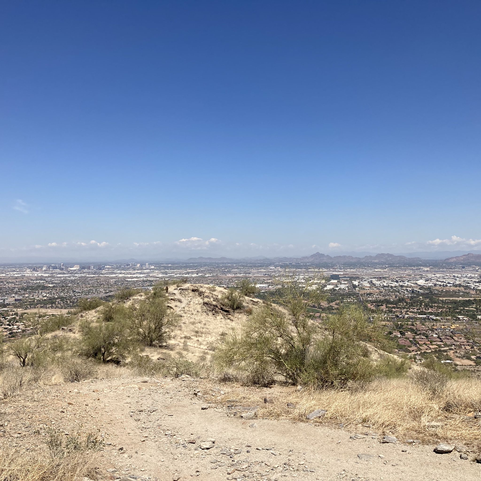
Tempe's routes offer diverse scenery, from urban lakefronts to desert landscapes. You can enjoy picturesque views of the city skyline and water around Tempe Town Lake, distinctive red rock formations in Papago Park, and panoramic vistas of the Phoenix metropolitan area from higher elevations in South Mountain Park. The Scenic view of Camelback – Arizona Falls loop provides views of prominent landmarks.
Are there any interesting landmarks to see while cycling in Tempe?
Absolutely. Many routes pass by or near notable landmarks. In Papago Park, you can see the distinctive Red Rock Formations and the famous Hole in the Rock. The Phoenix Mountains Preserve & Papago Park loop combines urban paths with desert scenery and access to these natural features.
Are Tempe's road cycling routes family-friendly?
Many of Tempe's paved paths are ideal for families. The flat and wide canal paths, such as the Crosscut Canal Path and Indian Bend Wash Path, offer safe and enjoyable rides away from traffic. The 2.5-mile loop around Tempe Town Lake is also a popular family-friendly option.
Can I access road cycling routes in Tempe using public transport?
Tempe has a well-developed public transportation system, including Valley Metro Rail and bus services, many of which are equipped with bike racks. This makes it convenient to reach various trailheads and cycling routes throughout the city, especially those in urban areas like Tempe Town Lake and downtown.
Is parking available near road cycling trails in Tempe?
Yes, parking is generally available at or near many of Tempe's road cycling routes. Popular areas like Tempe Town Lake, Papago Park, and South Mountain Park have designated parking lots. Many canal paths also have accessible parking in adjacent neighborhoods or parks.
Are there loop road cycling routes in Tempe?
Loop routes are a common feature in Tempe, allowing cyclists to start and end at the same point. Examples include the Tempe Town Lake – Elmore Pedestrian Bridge loop and the Sun Circle Trail Canal Bike Path – Pavilion at McQueen Park loop, which offers a pleasant ride through canal paths and urban parks.
What do other road cyclists enjoy the most about road cycling in Tempe?
The area is highly rated by the komoot community, with an average score of 4.6 stars from over 13 reviews. Reviewers often praise the diverse terrain, from flat, scenic canal paths to routes with rewarding climbs, and the extensive network of bike-friendly infrastructure that makes exploring the region enjoyable.
Are there less crowded road cycling trails in Tempe?
While popular spots like Tempe Town Lake can be busy, the extensive network of canal paths, such as the Kyrene Canal Path, often provides quieter stretches for cycling. Exploring routes during off-peak hours or on weekdays can also offer a more serene experience.
Where can I find cafes or places to stop along Tempe's cycling routes?
Given Tempe's urban environment, many routes, especially those near downtown or Tempe Town Lake, pass by numerous cafes, restaurants, and shops where you can stop for refreshments. The paths along Mill Avenue and near Arizona State University offer convenient access to amenities.
Most popular routes around Tempe
Most popular attractions around Tempe

Get inspired with the komoot mobile app


Explore more
Browse the best Road cycling routes in other regions.
