The best cycling routes around Dewey-Humboldt
4.7
(15)
78
riders
5
rides
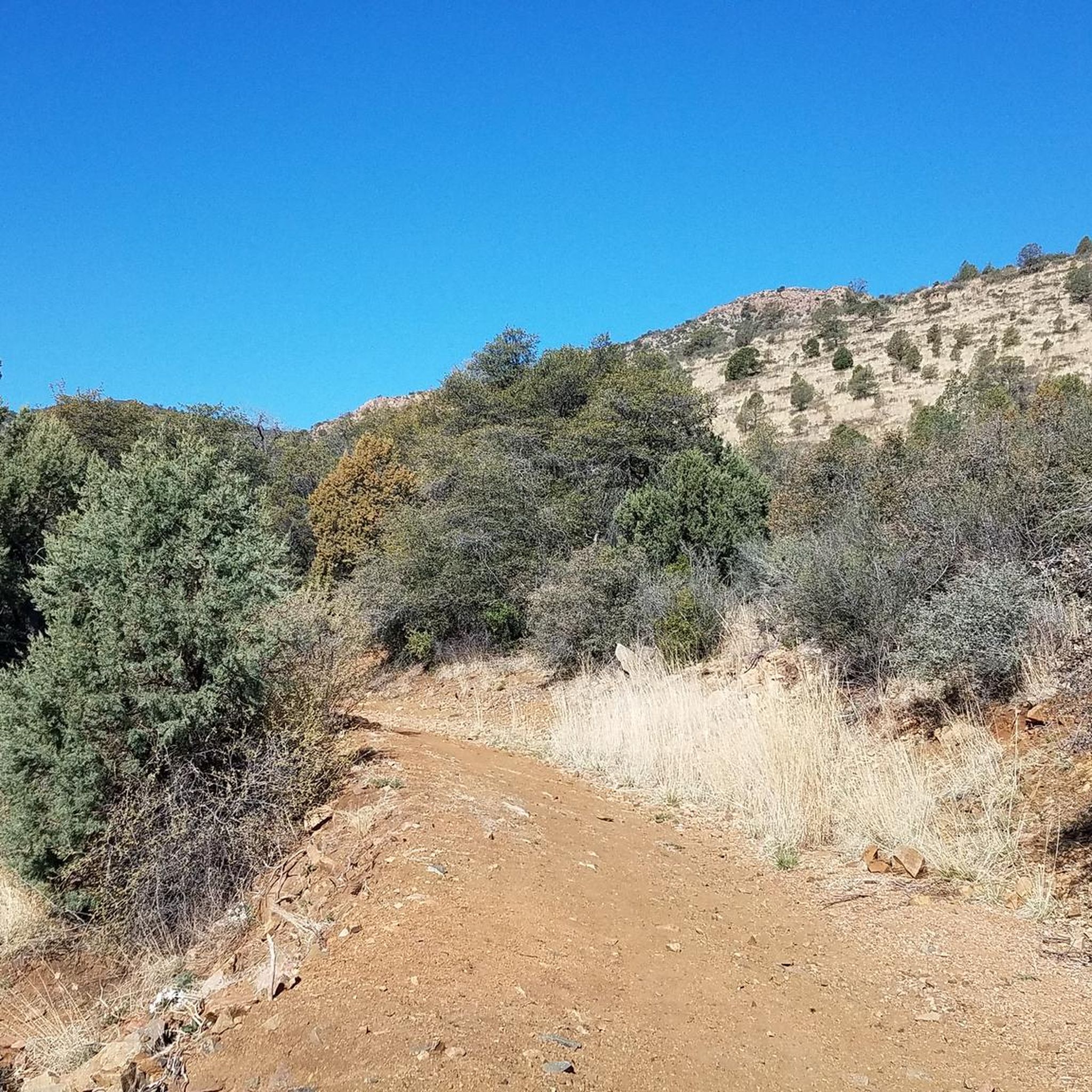
Touring cycling around Dewey-Humboldt offers routes through a transitional zone where high desert terrain meets the pine forests of the Bradshaw Mountains. The region features rolling hills, juniper-dotted landscapes, and expansive views across the Agua Fria River Valley. Elevations range from approximately 4,500 to 4,800 feet, providing varied topography for cyclists. Proximity to the Prescott National Forest also provides access to trails winding through ponderosa pine forests.
Best touring cycling routes around Dewey-Humboldt
- The most popular touring cycling route is…
Last updated: June 29, 2026
4.5
(2)
28
riders
23.5km
02:06
170m
170m
Moderate bike ride. Good fitness required. Mostly paved surfaces. Suitable for all skill levels.
11.4km
01:03
140m
140m
Easy bike ride. Great for any fitness level. Mostly paved surfaces. Suitable for all skill levels.

Sign up for free
4.9
(13)
43
riders
31.2km
02:43
250m
250m
Moderate bike ride. Good fitness required. Mostly paved surfaces. Suitable for all skill levels.
2
riders
36.9km
02:52
440m
440m
Moderate bike ride. Good fitness required. Mostly paved surfaces. Suitable for all skill levels.
4
riders
18.1km
01:34
150m
150m
Moderate bike ride. Good fitness required. Mostly paved surfaces. Suitable for all skill levels.
Our route recommendations are based on thousands of hikes, rides, and runs completed by other people on komoot.
Start today with a free account
Your next adventure awaits.
Login or Signup
Tips from the Community


For a woman from the Texas plains, this ride is pure magic! The Granite Dells are stunning and are also of many formations! Mostly a steady flat ride with few slight inclines.
0
0

Captains Trail provides the closest western access to the Storm Ranch trail system from the West Peavine trail Prescott city parking lot. The Ztorm Ranch trail system has been developed in stages in the 2020s. For hikers it required a few miles hiking just to access, until the Gateway trail opened and made these trails more readily accessible.
0
0
Captains Trail provides the closest western access to the Storm Ranch trail system from the West Peavine trail Prescott city parking lot. The Storm Ranch trail system has been developed in stages in the 2020s. For hikers it required a few miles hiking just to access, until the Gateway trail opened and made these trails more readily accessible.
1
0
Beautiful area, relatively flat on Peavine trail compared to elsewhere in the area.
2
0
Beautiful southside view of Lynx Lake and superb hiking spot.
2
0
One of the most popular outdoor areas in the Prescott, Arizona area.
1
0
Frequently Asked Questions
What kind of terrain can I expect on touring cycling routes around Dewey-Humboldt?
Touring cycling routes in Dewey-Humboldt traverse a transitional zone where high desert terrain meets the pine forests of the Bradshaw Mountains. You'll encounter rolling hills, juniper-dotted landscapes, and expansive views across the Agua Fria River Valley. Elevations typically range from 4,500 to 4,800 feet, offering a mix of challenging ascents and scenic descents. Some routes, like the Peavine and Iron King Trail Loop, combine both paved and dirt sections.
Are there any easy touring cycling routes suitable for beginners or families in Dewey-Humboldt?
Yes, Dewey-Humboldt offers easy touring cycling routes perfect for beginners or families. The Salida Gulch and Johns Tank Trail Loop is an easy 7.1-mile path that navigates through gulches and varied desert landscapes, providing a gentle introduction to the area's scenery. Another easy option is the Iron King Trail – Iron King Trail loop from Bradshaw Mountain High School.
What are the best times of year for touring cycling in Dewey-Humboldt?
Dewey-Humboldt enjoys a mild four-season climate, making it suitable for touring cycling throughout much of the year. Spring and fall offer particularly pleasant temperatures for exploring the high desert and forest trails. While summer can be hot, early mornings or evenings are still viable. Winter brings occasional snowfall, but many days remain clear and cool enough for cycling.
Are there any circular touring cycling routes in the Dewey-Humboldt area?
Yes, several touring cycling routes in Dewey-Humboldt are designed as loops, allowing you to start and end at the same point. Popular options include the Peavine and Iron King Trail Loop, the Salida Gulch and Johns Tank Trail Loop, and the Northern Badger Mountain Trail – Tunnel Under SR 69 on Tr 329 loop from Lynx Creek Ruin Trailhead.
What natural features or landmarks can I see along the touring cycling routes?
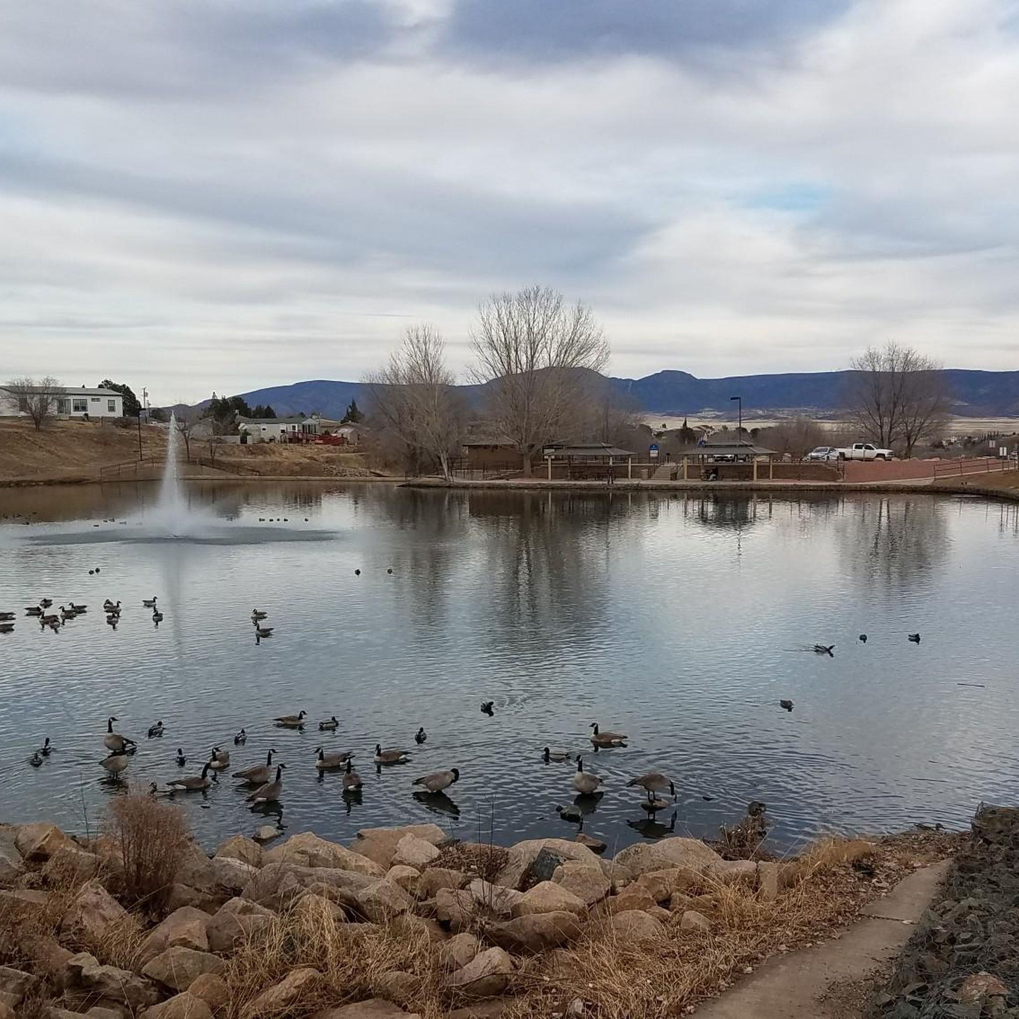
The routes offer diverse natural features and landmarks. You can experience the seasonal Agua Fria River, the dramatic backdrop of Iron King Mountain, and the expansive views across the valley. Nearby attractions include the panoramic views from Glassford Hill Summit, the historic Petroglyphs, and the Lynx Creek Pueblo Ruins. Many trails also offer glimpses of Lynx Lake.
Are there any touring cycling routes that offer significant elevation gain for a challenge?
For cyclists seeking a challenge, Dewey-Humboldt offers routes with significant elevation gain. The Northern Badger Mountain Trail – Tunnel Under SR 69 on Tr 329 loop from Lynx Creek Ruin Trailhead, for example, features over 450 meters (1,476 feet) of ascent, leading through Badger Mountain. The region's proximity to the Bradshaw Mountains also means access to climbs like Breezy Pines Road, which offers over 2,000 feet of elevation gain.
What do other touring cyclists say about the routes in Dewey-Humboldt?
The touring cycling routes in Dewey-Humboldt are highly rated by the komoot community, with an average score of 4.75 stars from several reviews. Cyclists often praise the diverse terrain, from high desert to pine forests, and the variety of options available for different ability levels.
Are there options for off-road touring cycling in Dewey-Humboldt?
Yes, Dewey-Humboldt provides excellent opportunities for off-road touring cycling. The Iron King Trail is a notable dirt, double-track trail that connects with the Peavine Trail, offering a scenic route for gravel or mountain bikes. The Mayer Area Trails also provide options for off-road adventures.
Where can I find parking for touring cycling routes in Dewey-Humboldt?
Many touring cycling routes in Dewey-Humboldt have accessible parking. For example, the Northern Badger Mountain Trail – Tunnel Under SR 69 on Tr 329 loop can be accessed from the Lynx Creek Ruin Trailhead, which typically has parking. Additionally, a multi-use trailhead at the end of Newtown Road, developed in partnership with the Prescott National Forest, offers easy access to various recreational opportunities.
Can I combine touring cycling with other outdoor activities in Dewey-Humboldt?
Absolutely! Dewey-Humboldt's diverse landscape makes it ideal for combining touring cycling with other outdoor activities. You can explore the seasonal Agua Fria River, hike trails in the Prescott National Forest, or visit nearby Watson Lake for fishing and photography, which features the unique Granite Dells rock formations. Mortimer Farms also offers seasonal events and a farm store for a different kind of outdoor experience.
Are there any specific trails that are part of a larger network?
Yes, several trails in Dewey-Humboldt are part of or connect to larger networks. The Iron King Trail, for instance, intersects with the popular Peavine Trail, allowing for extended rides. The Prescott Peavine National Recreation Trail is another significant route in the Verde Valley that can lead to Watson Lake, offering connections to other scenic areas.
How many touring cycling routes are available in Dewey-Humboldt?
There are several touring cycling routes available in Dewey-Humboldt, with komoot featuring 4 distinct routes. These routes cater to various skill levels, from easy paths to more challenging rides, and have been explored by over 50 touring cyclists using komoot.
Most popular attractions around Dewey-Humboldt

Get inspired with the komoot mobile app


Explore more
Browse the best Cycling routes in other regions.
