The best road cycling routes around Peoria
4.7
(28)
498
riders
49
rides
Road cycling routes around Peoria offer a diverse landscape for riders. The area features a blend of urban pathways, scenic river views, and expansive natural preserves. The terrain includes relatively flat sections, particularly along former railway corridors, alongside areas with gentle elevation changes. The region is characterized by the presence of the Illinois River and its bluffs, providing varied backdrops for cycling.
Best road cycling routes around Peoria
- The most popular road cycling route is Rio Vista Community Park loop from Willowbrook Golf Course, a 28.1 miles (45.3 km) trail that takes 2 hours 6 minutes to complete. This route features a moderate difficulty grade with an elevation gain of 282 feet (86 meters).
- Another top favourite among local road cyclists is Rio Vista Community Park – Rio Vista Community Park loop from Cactus Crossing, an easy 27.2 miles (43.8 km) path. This route offers a relatively flat profile with an elevation gain of 251 feet (77 meters).
- Local road cyclists also love the Rio Vista Community Park – Rio Vista Community Park loop from Calderwood Butte Nature Preserve, a 45.9 miles (73.9 km) trail leading through varied terrain, often completed in about 3 hours 24 minutes.
- Road cycling around Peoria is defined by urban pathways, river views, and natural preserves, with options for different ability levels. The network includes routes with minimal elevation gain and others with more sustained climbs.
- The routes in Peoria are highly rated by the komoot community with an average score of 4.2 stars from over 30 reviews. More than 580 road cyclists have used komoot to explore Peoria's varied terrain.
Last updated: August 21, 2026
3
riders
93.8km
04:09
590m
590m
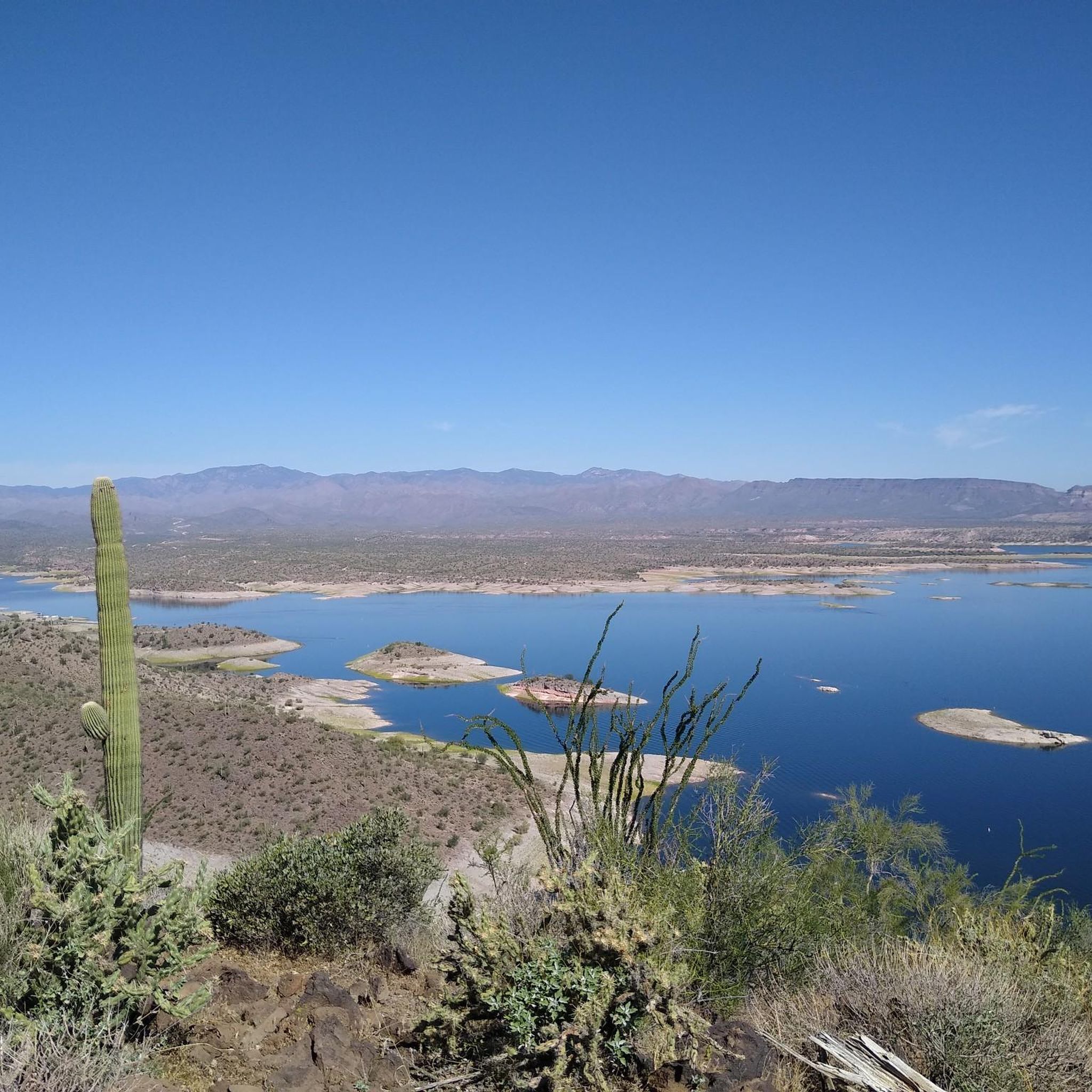
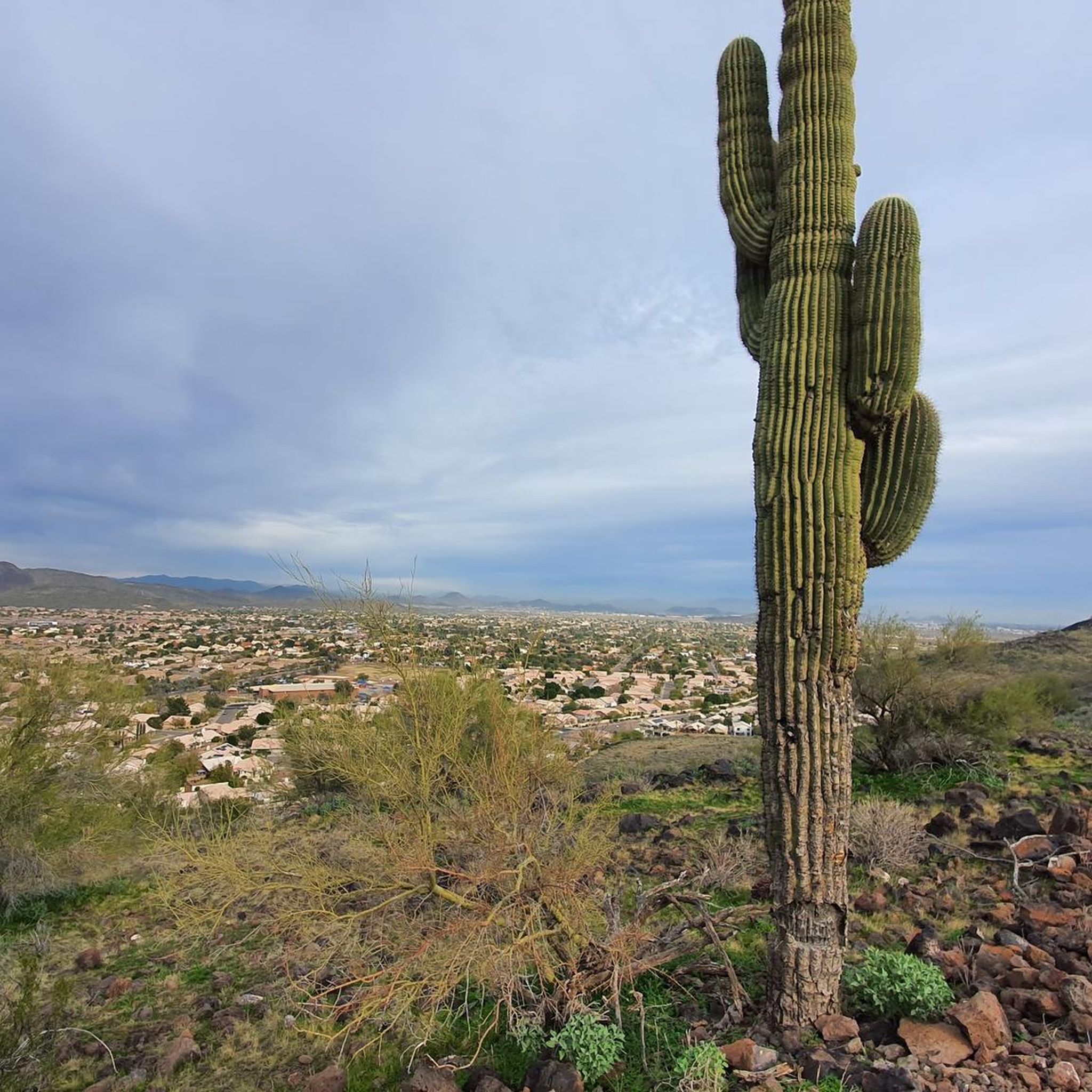
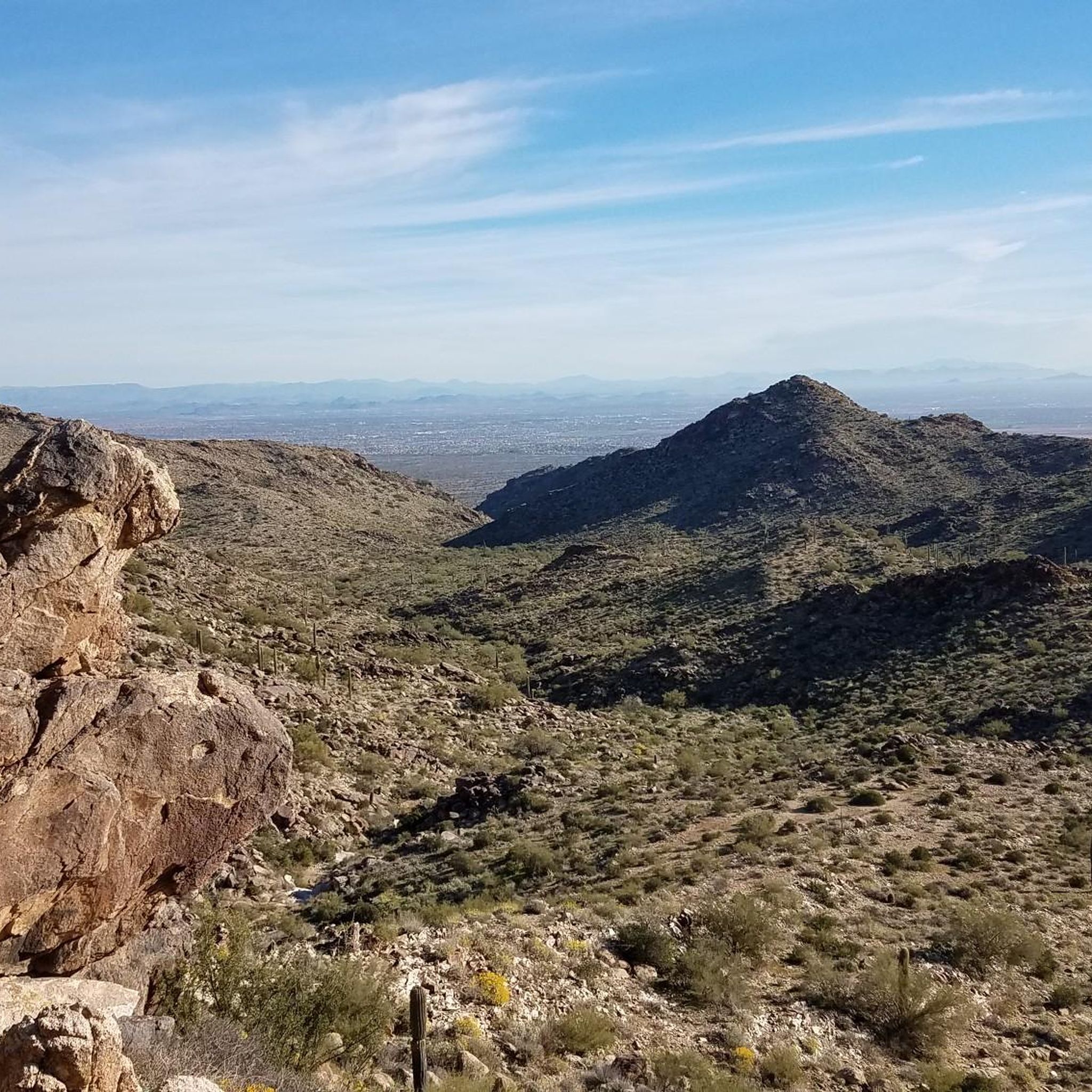
The Peoria to Lake Pleasant loop offers a fantastic road cycling experience through the heart of the Sonoran Desert, showcasing expansive views and vibrant desert flora, particularly in spring. As you pedal, you'll transition from the flatter terrain near Peoria into gradual inclines and sustained climbs, especially noticeable on New River Road, before being rewarded with picturesque vistas of Lake Pleasant. Keep an eye out for local wildlife like wild burros and roadrunners as you navigate the well-paved surfaces.
This moderate 58.3-mile (93.8 km) route involves a significant 1925 feet (587 metres) of elevation gain, typically taking around 4 hours and 8 minutes to complete. It's best tackled during the cooler months to avoid the intense Arizona summer heat. You'll find convenient amenities, including water and restrooms, at Rio Vista Community Park, making it a good spot for a mid-ride break.
Beyond the main loop, this route connects with or runs near other multi-use pathways like portions of the Arizona Trail and Maricopa Trail, offering options for extended exploration if you're looking for more miles. While Castle Hot Springs Road is nearby, be aware that it quickly turns to dirt, making it unsuitable for road bikes. This loop is an excellent choice for cyclists with a good fitness level seeking a rewarding challenge and scenic viewpoints near Lake Pleasant, Arizona.
4.8
(9)
97
riders
Moderate road ride. Good fitness required. Mostly well-paved surfaces and easy to ride.

Sign up for free
28
riders
Moderate road ride. Good fitness required. Mostly well-paved surfaces and easy to ride.
27
riders
25.0km
01:11
60m
60m
Easy road ride. Great for any fitness level. Mostly well-paved surfaces and easy to ride.
1.0
(1)
23
riders
22.0km
01:02
40m
40m
Easy road ride. Great for any fitness level. Mostly well-paved surfaces and easy to ride.
Get access to more routes and recommendations from other explorers.
Sign up for free
Already have an account?
Our route recommendations are based on thousands of hikes, rides, and runs completed by other people on komoot.
Start today with a free account
Your next adventure awaits.
Login or Signup
Tips from the Community


The Arizona Canal Trail is a 25 mile trail running between Peoria, Glendale, Phoenix, Scottsdale and the Salt River Pima–Maricopa Indian Community. It runs along both sides of the Arizona Canal. It is a paved and unpaved trail system and is a great way to get across town on a bike. It also interconnects with several other recreational trails on the way. It is simply a great biking route.
0
0
The Arizona Canal Trail is a 25 mile trail running between Peoria, Glendale, Phoenix, Scottsdale and the Salt River Pima–Maricopa Indian Community. It runs along both sides of the Arizona Canal. It is a paved and unpaved trail system and is a great way to get across town on a bike. It also interconnects with several other recreational trails on the way. It is simply a great biking route.
0
0

Cortez Park Lake is unique because it is a stocked Community Fishing Program lake. The signs around the park highlight the fishing license. requirements and bag limit regulations that strictly apply. That being said, grab your pole and licenses and head down to Cortez Lake Park for a relaxing day on the water at a park with shade, bathrooms, and lots of other amenities.
0
0

Lakeview Day Use area has a number of picnic sites, restrooms and access to the Pipeline Canyon & Wild Burro Trails. While there is no guarantee that you'll see actual wild burro, it's not an uncommon occurrence either.
0
0
Rio Vista is a great park with plenty of places to play & relax. If you're feeling particularly hot you could cool down in the splash park, or get some shade and lunch in a picnic area. If you're on a family ride you can stop at the playground or try your luck in the fishing pond.
0
0

At this day use area there's a parking lot, toilets available, and a covered bench to take a rest while looking at the landscape. Here is the starting point to Wild Burro Trail and also can be the end or start of Pipeline Trail.
0
0
Frequently Asked Questions
How many road cycling routes are available in Peoria?
Peoria offers a wide selection of road cycling routes, with over 40 routes available on komoot. These routes cater to various skill levels, from easy to moderate, ensuring there's something for every cyclist.
What kind of terrain can I expect on road cycling routes in Peoria?
Road cycling in Peoria features a diverse landscape. You'll find a blend of urban pathways, scenic river views, and expansive natural preserves. The terrain includes relatively flat sections, particularly along former railway corridors like the Rock Island Trail, alongside areas with gentle elevation changes, especially near the Illinois River bluffs. Routes range from easy, with minimal elevation gain, to moderate, with more sustained climbs.
Are there scenic road cycling routes with views of the Illinois River?
Yes, many routes in Peoria offer stunning views of the Illinois River and its valley. The Rio Vista Community Park loop from Willowbrook Golf Course, for instance, provides picturesque scenery. Additionally, the Rock Island Greenway winds through Peoria and Peoria Heights, offering views of the river. Grandview Drive, often called 'the world's most beautiful drive,' also provides panoramic vistas that can be incorporated into scenic rides.
Where can I find parking for road cycling trails in Peoria?
Parking is generally available at various access points for Peoria's cycling trails. For popular routes like the Rock Island Trail, you can often find parking near its trailheads. Many parks and community centers that serve as starting points for routes, such as Rio Vista Community Park, also offer parking facilities.
Are there family-friendly road cycling options in Peoria?
Absolutely. Peoria has several family-friendly road cycling options, particularly on paved and generally flat paths. The Rock Island Trail, a former railway corridor, is known for being flat and easy to pedal, making it suitable for all ages. The Rock Island Greenway also provides a paved pathway connecting parks and neighborhoods, ideal for family outings.
What are some notable landmarks or attractions near the cycling routes?
Along and near Peoria's cycling routes, you can explore several interesting landmarks and natural attractions. The Rio Vista Community Park is a common starting point for many routes. You might also encounter viewpoints like Yavapai Point, offering scenic vistas. Other natural features include the Illinois River bluffs and various nature preserves like Forest Park Nature Center, which offers hiking trails through diverse habitats.
What do other cyclists say about road cycling in Peoria?
The road cycling experience in Peoria is highly rated by the komoot community, with an average score of 4.2 stars from over 30 reviews. Cyclists often praise the varied terrain, from urban pathways to natural preserves, and the well-maintained trails. The presence of the Illinois River and its bluffs also adds to the scenic appeal, making for enjoyable rides.
Are there any paved road cycling routes suitable for beginners?
Yes, Peoria offers several paved road cycling routes that are excellent for beginners. The Rock Island Greenway is a prime example, providing a paved and relatively flat path that connects various parts of the city. Routes like the Rio Vista Community Park – Rio Vista Community Park loop from Cactus Crossing are also rated as easy with minimal elevation gain, making them ideal for those new to road cycling.
Can I find circular road cycling routes in the Peoria area?
Many of the road cycling routes around Peoria are designed as loops, allowing you to start and end at the same point. Examples include the Rio Vista Community Park loop from Willowbrook Golf Course and the Rio Vista Community Park – Rio Vista Community Park loop from Calderwood Butte Nature Preserve. These circular routes make planning your ride convenient.
What is the best time of year for road cycling in Peoria?
The best time for road cycling in Peoria generally spans from spring through fall, when the weather is mild and the natural scenery is vibrant. While specific conditions vary, these seasons offer comfortable temperatures and clear paths. Winter cycling is possible, but riders should be prepared for colder temperatures and potential snow or ice on trails.
Are there options for longer, more challenging road cycling routes?
For cyclists seeking longer or more challenging rides, Peoria has options that extend beyond the easier paths. Routes like the Rio Vista Community Park – Rio Vista Community Park loop from Calderwood Butte Nature Preserve, which spans nearly 46 miles, offer a more sustained effort. While Peoria's terrain is not known for extreme climbs, these longer routes provide a good endurance challenge with varied landscapes.
Are there any specific parks or preserves that offer good road cycling?
Several parks and preserves in the Peoria area are excellent for road cycling. The Peoria Park District maintains many trails, including sections of the Rock Island Greenway. While primarily for hiking, areas around Wildlife Prairie Park and Jubilee College State Park might offer access to roads suitable for cycling, often with scenic natural surroundings. Detweiller Park also provides various outdoor activities and potential cycling paths.
Most popular attractions around Peoria

Get inspired with the komoot mobile app


Explore more
Browse the best Road cycling routes in other regions.
