The best road cycling routes around Mesa
4.3
(79)
2,946
riders
31
rides
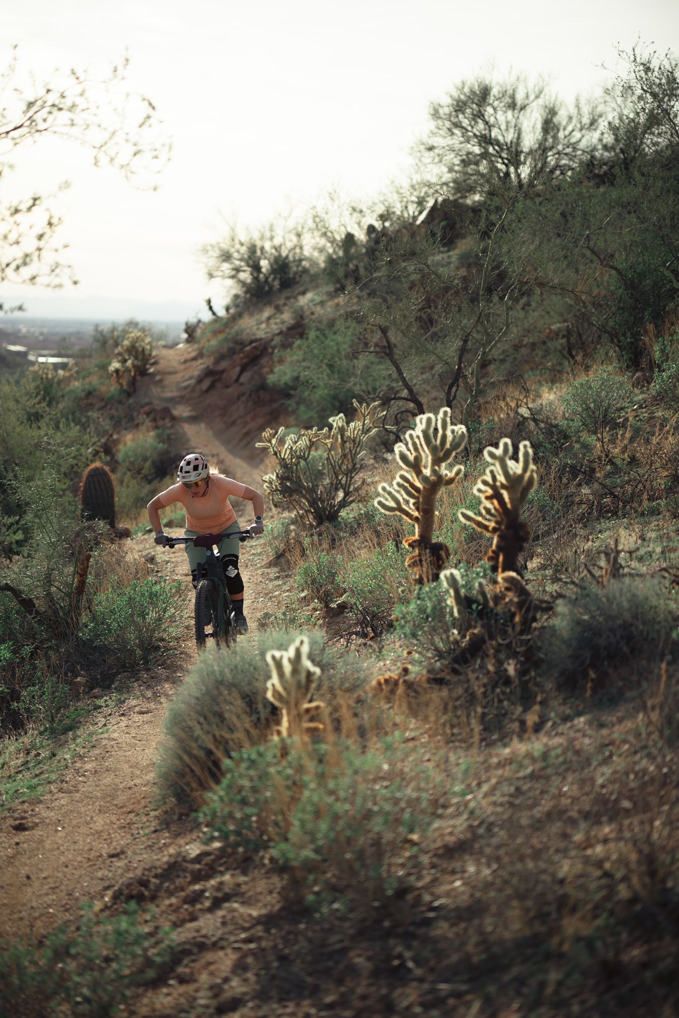
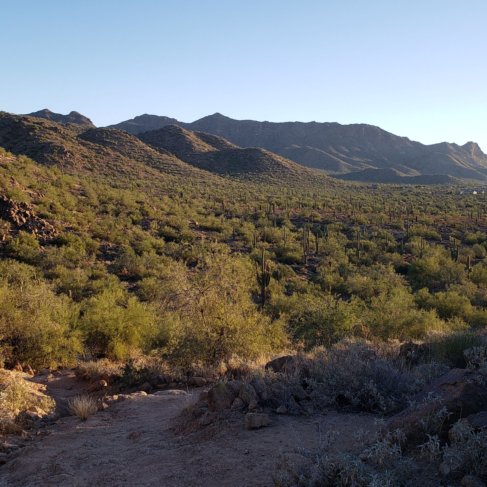
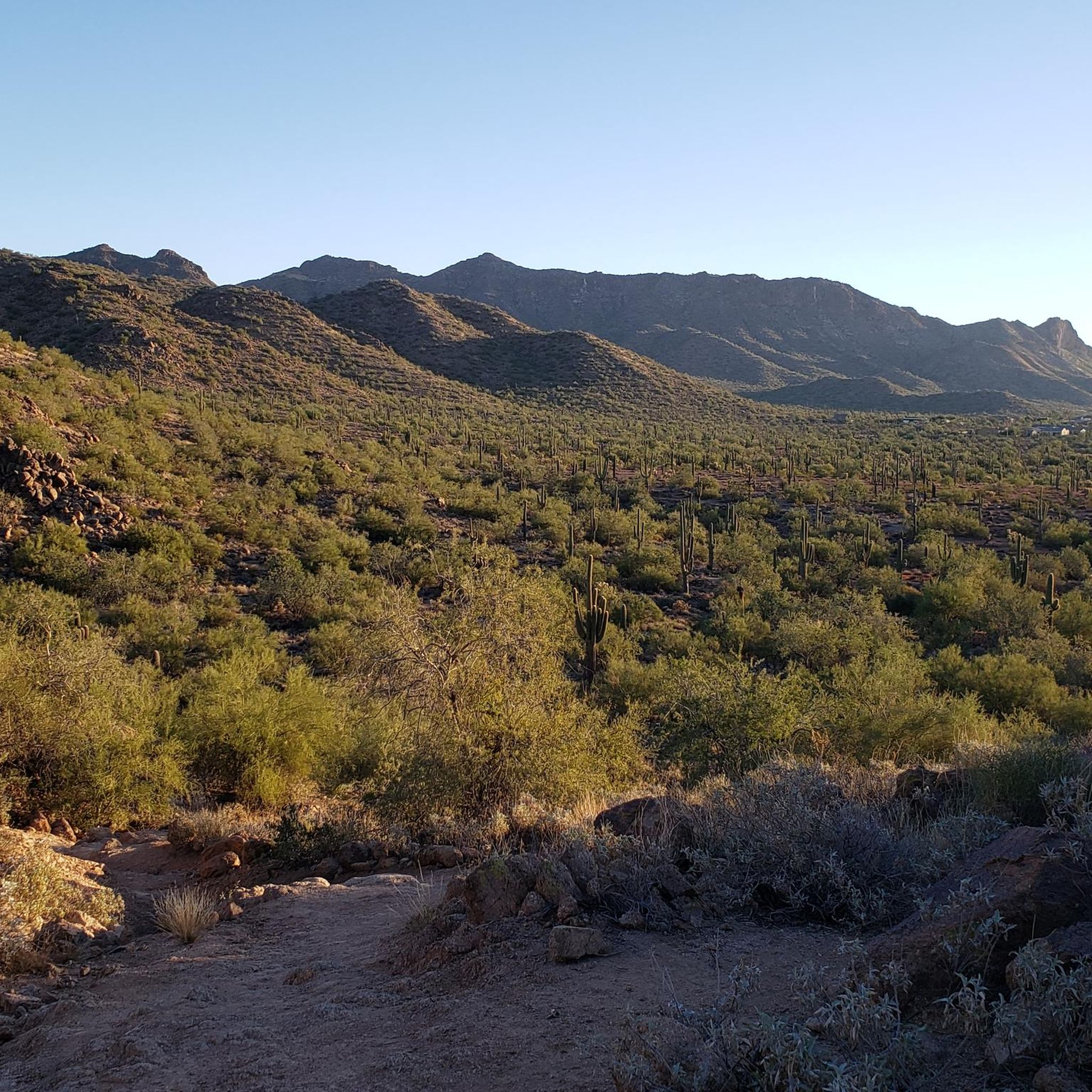
Road cycling around Mesa, Arizona, offers diverse terrain within the Sonoran Desert landscape. The region is characterized by panoramic views of saguaro cacti, mesquite trees, and the prominent Superstition Mountains. Routes often follow the Lower Salt River, providing scenic paths and views of Red Mountain. Mesa features over 40 miles of paved bike lanes, supporting a variety of road cycling experiences.
Best road cycling routes around Mesa
- The most popular road cycling route is Usery Mountain & Arizona Commemorative Air Force Museum loop, a 28.2 miles (45.4 km) trail that takes 1 hour 54 minutes to complete, offering views of Usery Mountain.
- Another top favourite among local road cyclists is Usery Trailhead Parking – Maricopa Trail in Tonto National Forest loop from Red Mountain High School, a moderate 36.6 miles (58.9 km) path. This route provides expansive desert views within the Tonto National Forest.
- Local road cyclists also love the Tempe Town Lake – Neil G. Giuliano Park loop from Sycamore/ Main St, a 35.5 miles (57.1 km) trail leading through urban and riverside landscapes, often completed in about 2 hours 51 minutes.
- Road cycling around Mesa is defined by the Sonoran Desert, the Superstition Mountains, and the Salt River. The network offers options for different ability levels, from urban greenways to routes with moderate hills.
- The routes in Mesa are highly rated by the komoot community with an average score of 4.4 stars from more than 20 reviews. More than 1,000 road cyclists have used komoot to explore Mesa's varied terrain.
Last updated: July 7, 2026
3.0
(1)
20
riders
45.4km
01:55
330m
330m
Cycle the moderate 28.2-mile Usery Mountain & Arizona Commemorative Air Force Museum loop for desert views and a unique museum visit.
141
riders
Moderate road ride. Good fitness required. Mostly well-paved surfaces and easy to ride.

Sign up for free
129
riders
Moderate road ride. Good fitness required. Mostly well-paved surfaces and easy to ride.
4.0
(2)
85
riders
54.7km
03:06
110m
110m
Moderate road ride. Good fitness required. Some segments of this route may be unpaved and difficult to ride.
5.0
(1)
72
riders
Moderate road ride. Good fitness required. Mostly well-paved surfaces and easy to ride.
Get access to more routes and recommendations from other explorers.
Sign up for free
Already have an account?
Our route recommendations are based on thousands of hikes, rides, and runs completed by other people on komoot.
Start today with a free account
Your next adventure awaits.
Login or Signup

Other adventures around Mesa

Tips from the Community

One of a number of parking lots which give you easy access to the Hawes network, no time restrictions at present on dawn/dusk.
0
0

Although it's far off in the distance you have a good view of Camelback Mountain from here.
0
0

This paved trail runs more than 10 miles total along both sides of the Rio Salado, or Salt River, which extends west into Tempe Town Lake.
0
0
The miles-long greenbelt you're pedaling through gets its name from the lake just to your south: Indian Bend Wash.
0
0

Usery Mountain Regional Park is a large desert park spanning over 3,000 acres. There are lots of multi-use trails, and the bike trails are hard-packed dirt and gravel, making for a great beginner road ride. 1,000 feet east down Easy Usery Park Road is a facility with restrooms and drinking water.
0
0
This is a lovely patch of sand along the north shore of Tempe Town Lake, which was created by damming the dried-up Salt River and then adding water. You may see electric-, wind- and human-powered boats on the water; in fact, the lake is a great place to launch a kayak.
0
0
Evelyn Hallman Park is a pretty big urban park, being 40 acres in size. The trails that go through here are multi-use to bikers and walkers. There are a lot of amenities here, like urban fishing, public grills, lakes, picnic tables, parks, public art, shaded areas, and restrooms.
0
0
This is a parking area and trailhead for a few trails for different activities! Here mountain bikers can head west for Lance‘s Trail, you can find small off reading vehicles heading to Bulldog Canyon OHV Staging Area toward the east, and it is also the Maricopa Trail, horse trailer parking. So passing through here check out all the different recreationalists!
0
0
Frequently Asked Questions
What kind of terrain can I expect when road cycling around Mesa?
Road cycling around Mesa offers diverse terrain within the Sonoran Desert. You'll experience panoramic views of saguaro cacti, mesquite trees, and the prominent Superstition Mountains. Many routes follow the Lower Salt River, providing scenic paths and views of Red Mountain. While Mesa has over 40 miles of paved bike lanes, some routes may include moderate hills, especially as you approach areas like the Tonto National Forest.
How many road cycling routes are available in the Mesa area?
There are over 25 road cycling routes available around Mesa on komoot, catering to various skill levels. Most routes are classified as moderate, with a good selection of easier options for those looking for a more relaxed ride. There are no routes classified as difficult, making the area accessible for many road cyclists.
What are some notable natural features or landmarks to see while cycling in Mesa?
Mesa's road cycling routes offer stunning views of the Sonoran Desert, the majestic Superstition Mountains, and the scenic Lower Salt River. You might also spot wild horses along the river. Distinctive geological features like Red Mountain are visible from many routes. For specific natural attractions, consider exploring areas like Papago Park Red Rock Formations or Hole in the Rock, which are popular nearby highlights.
Are there any family-friendly road cycling routes in Mesa?
Yes, Mesa offers several family-friendly options. The city's extensive network of over 40 miles of dedicated bike lanes provides safer, flatter routes. The Rio Salado Pathway, for example, is a paved trail popular for its flat terrain and urban greenway experience, suitable for families. Routes with minimal elevation gain are generally best for family outings.
What is the best time of year to go road cycling in Mesa, Arizona?
The best time for road cycling in Mesa is typically during the cooler months, from late fall through spring (October to April). During this period, the weather is pleasant and sunny, making for comfortable rides. Summers can be extremely hot, so if cycling during these months, it's advisable to ride early in the morning to avoid the peak heat.
What do other road cyclists say about the routes in Mesa?
The road cycling routes in Mesa are highly regarded by the komoot community, with an average rating of 4.4 stars from over 29 reviews. Cyclists often praise the diverse desert landscapes, the well-maintained paved paths, and the opportunities to see iconic natural features like the Superstition Mountains and the Lower Salt River.
Are there any routes that offer views of Usery Mountain Regional Park?
Absolutely. Several routes provide excellent views of Usery Mountain. A popular choice is the Usery Mountain & Arizona Commemorative Air Force Museum loop, which is a moderate 28.2-mile ride. Another option is the Usery Mountain Regional Park – Usery Trailhead Parking loop from Red Mountain High School, offering expansive desert views.
Can I find long-distance road cycling routes near Mesa?
Yes, Mesa offers several longer road cycling routes. For example, the Tempe Town Lake – Elmore Pedestrian Bridge loop from Gilbert Rd/Main St covers over 40 miles, providing a substantial ride. Another option is the Usery Trailhead Parking – Maricopa Trail in Tonto National Forest loop from Red Mountain High School, which is nearly 37 miles and offers expansive desert views.
Are there any road cycling routes that pass by Tempe Town Lake?
Yes, you can definitely incorporate Tempe Town Lake into your road cycling experience from Mesa. The Tempe Town Lake – Neil G. Giuliano Park loop from Sycamore/ Main St is a popular 35.5-mile route that leads through urban and riverside landscapes, including Tempe Town Lake. Another option is the Tempe Town Lake – Elmore Pedestrian Bridge loop from Gilbert Rd/Main St.
Where can I find information about cycling events or groups in Mesa?
While komoot focuses on routes, for information on local cycling events, group rides, or clubs in Mesa, it's best to check local resources. Websites like Visit Mesa's cycling blog or other local cycling community pages often list upcoming events and group activities.
Are there any specific permits required for road cycling in Mesa's parks or natural areas?
Generally, no specific permits are required for road cycling on paved roads and designated bike lanes within Mesa or its regional parks. However, if you plan to venture onto mountain biking trails or into certain wilderness areas within the Tonto National Forest, it's always wise to check with the park or forest service for any specific regulations or fees that might apply to those particular sections.
Can I access road cycling routes in Mesa using public transport?
Mesa has a public transportation system, including buses, that can help you access various parts of the city. Many routes, especially those that begin or pass through urban areas like the Tempe Town Lake – Neil G. Giuliano Park loop from Sycamore/ Main St, are often accessible via public transport hubs. It's recommended to check the local bus routes and their bike-carrying policies to plan your journey effectively.
Most popular routes around Mesa
Most popular attractions around Mesa

Get inspired with the komoot mobile app


Explore more
Browse the best Road cycling routes in other regions.
