The best walks and hikes around Guadalupe
4.8
(110)
1,503
hikers
105
hikes
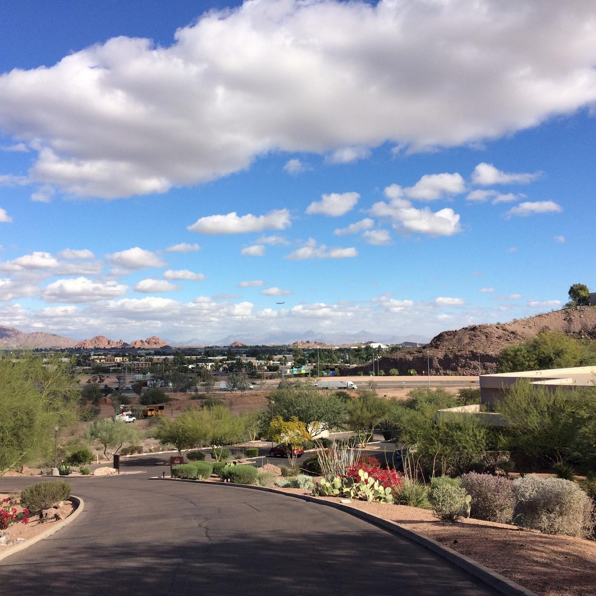
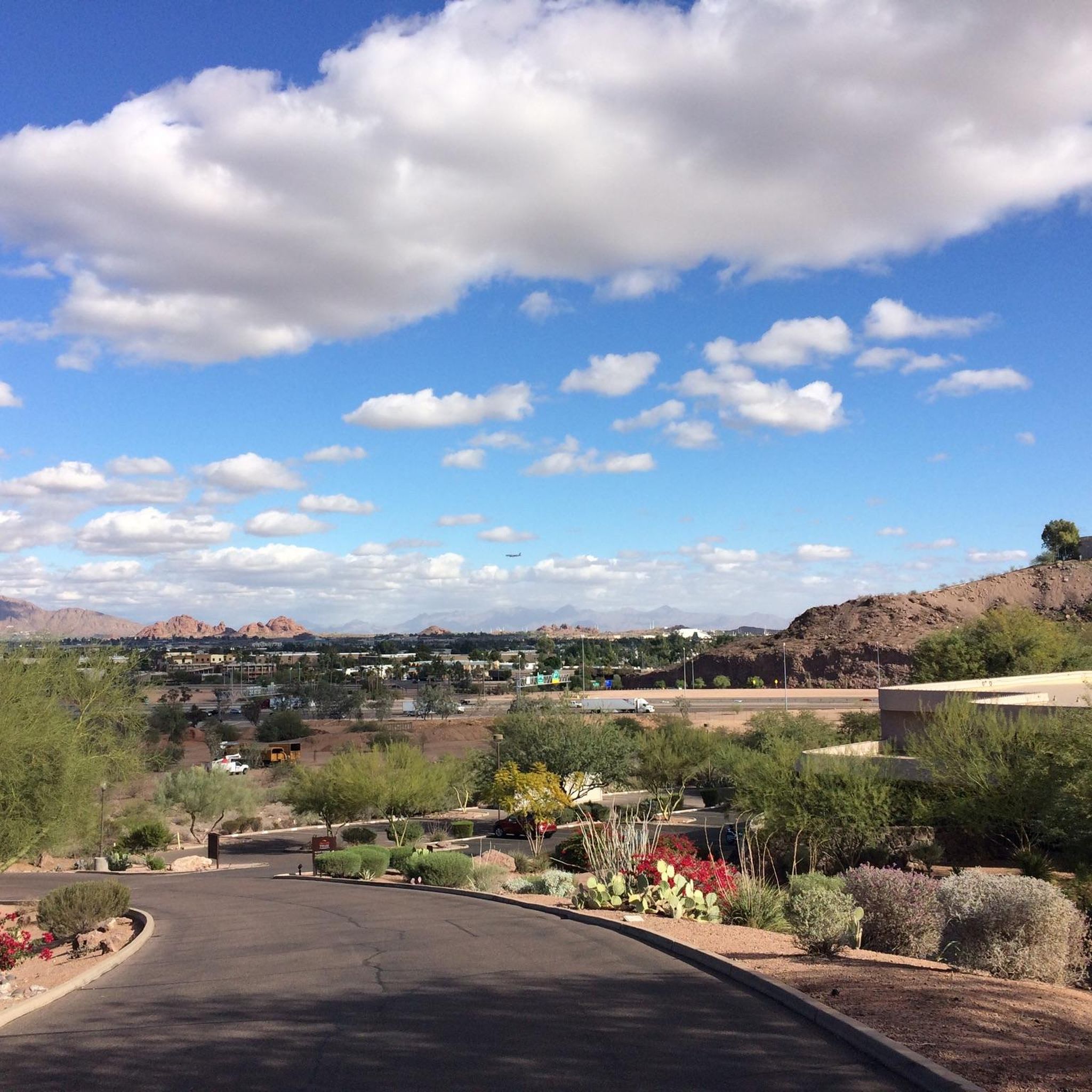
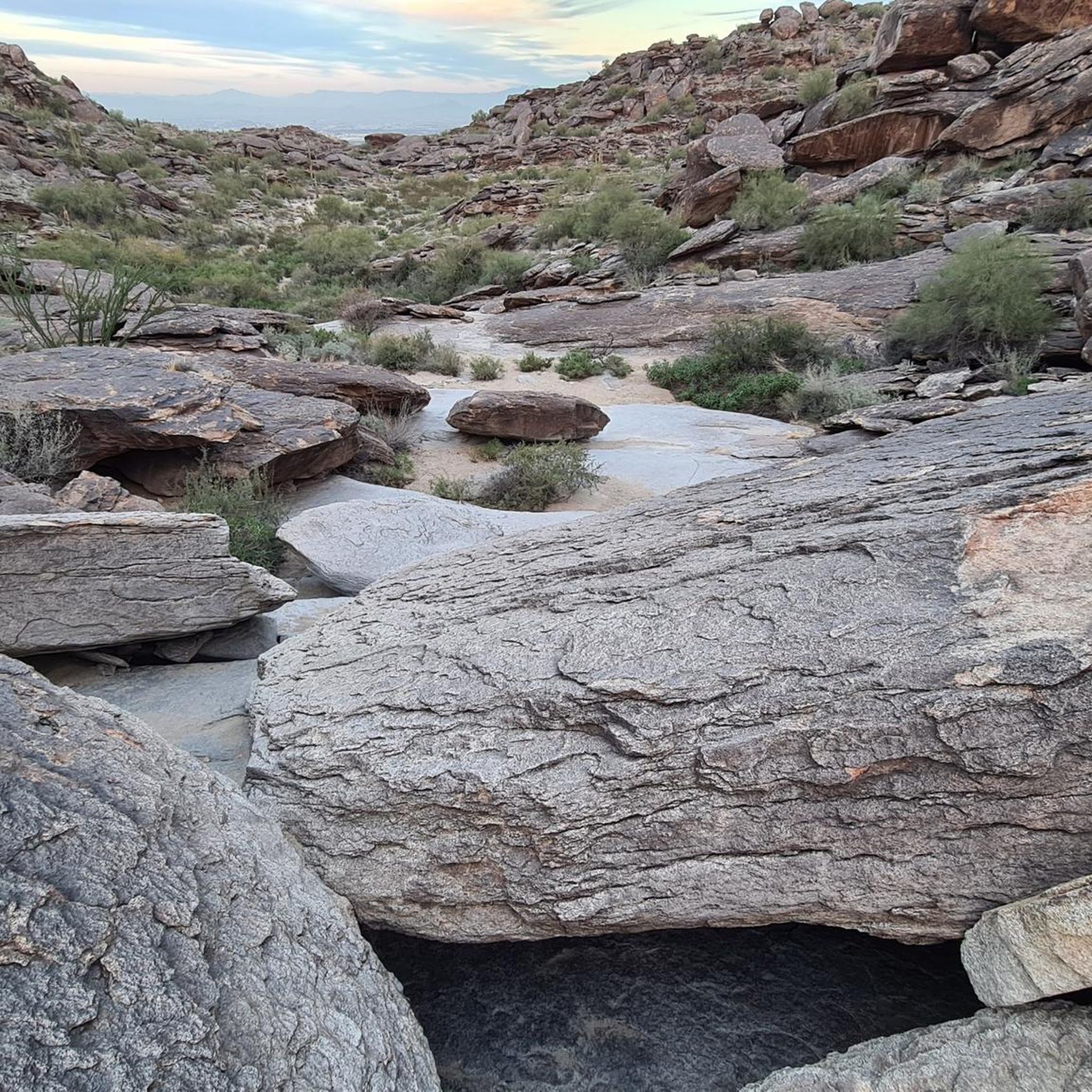
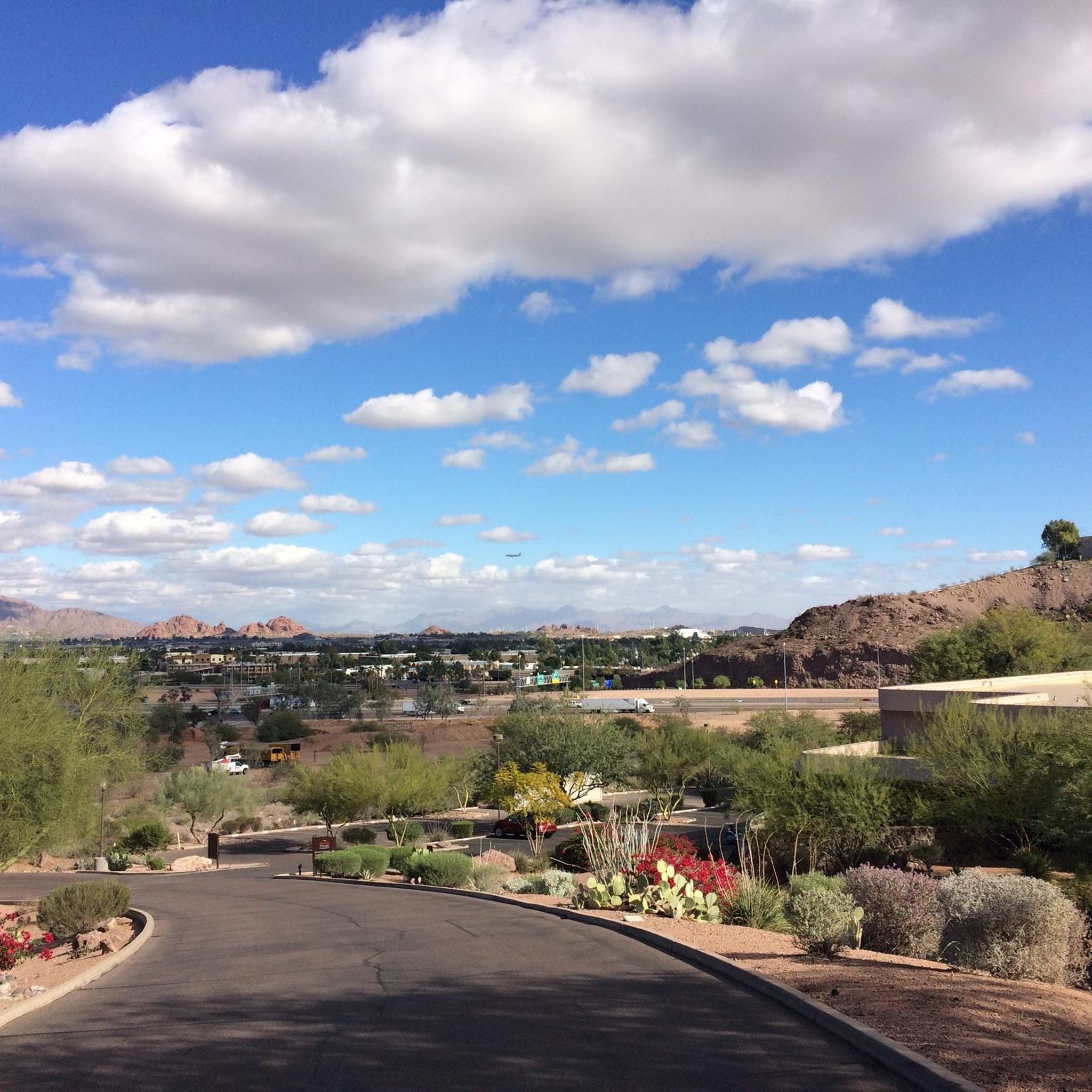
Hiking around Guadalupe offers access to a landscape characterized by desert terrain and rugged canyons. The region features varied elevations, from valley floors to higher ridges, providing diverse hiking experiences. Trails often traverse rocky riverbeds and lead through areas with unique geological formations. This environment supports a range of desert flora and fauna.
Best hiking trails around Guadalupe
- The most popular hiking route is National Trail to Mormon Loop, a 5.4 miles (8.7 km) trail that takes 2 hours…
Last updated: May 20, 2026
4.8
(11)
63
hikers
8.75km
02:35
240m
180m
Moderate hike. Good fitness required. Mostly accessible paths. Sure-footedness required.
5.0
(2)
21
hikers
6.53km
01:48
120m
110m
Easy hike. Great for any fitness level. Easily-accessible paths. Suitable for all skill levels.

Sign up for free
4.7
(7)
18
hikers
18.8km
05:35
620m
340m
Hard hike. Very good fitness required. Mostly accessible paths. Sure-footedness required.
5.0
(1)
11
hikers
4.02km
01:07
70m
60m
Easy hike. Great for any fitness level. Easily-accessible paths. Suitable for all skill levels.
2
hikers
13.1km
03:46
390m
200m
Moderate hike. Good fitness required. Mostly accessible paths. Sure-footedness required.
Get access to more routes and recommendations from other explorers.
Sign up for free
Already have an account?
Our route recommendations are based on thousands of hikes, rides, and runs completed by other people on komoot.
Start today with a free account
Your next adventure awaits.
Login or Signup
Tips from the Community

December trail running at its best! Well marked, pleasant hikers, and views that cheer on the reason to the run.
0
0


Really useful trail head with water and toilet facilities.
0
0
Fast and fun, well worth including!
0
0
South Mountain is so close to the city, from most trails you have great views of the city.
0
0

Telegraph Pass overlook gives riders a view down to the city of South Mountain, and around the mountain area of South Mountain Preserve. There are hiking trails near here as well but the overlook itself has a great view.
0
0

The Pima Canyon Trailhead is one of the most popular trailheads for the South Mountain Preserve. There are a bunch of different trails that start/finish in the parking lot (including the National Trail), and there are a bunch of different loop and route options starting from here. There are restrooms, trail maps, and adequate parking at this trailhead.
0
0

A remarkable leftover building from the depression era of the 1930's, where Civilian Conservation Corps and some 4000 men built over 40 miles of hiking trails. They made sure to build with enviornmentally compatible masonary stone. Appreciate the carftsmanship left behind.
0
0
Frequently Asked Questions
How many hiking trails are available in Guadalupe?
There are over 80 hiking routes in Guadalupe, ranging from easy strolls to challenging mountain ascents. The komoot community has explored these trails over 1000 times, providing an average rating of 4.8 stars.
What kind of terrain can I expect on hikes in Guadalupe?
The terrain in Guadalupe is highly varied, transitioning from Chihuahuan Desert lowlands with yucca and agave to high-elevation forests of ponderosa pine and aspen. You'll encounter rocky riverbeds, rugged canyons, and significant elevation changes, especially on trails leading to peaks like Guadalupe Peak.
Are there any family-friendly hiking options in Guadalupe?
Yes, Guadalupe offers several easier trails suitable for families. The paved Pinery Trail provides mountain vistas and historical ruins, while the Manzanita Spring Trail, Foothills Trail, and Smith Spring Trail are also accessible options for a less strenuous experience.
Can I bring my dog on the hiking trails in Guadalupe?
Guadalupe Mountains National Park generally restricts dogs to paved areas, developed campgrounds, and certain designated trails. It's best to check the official park regulations before planning a hike with your dog, as most wilderness trails are not dog-friendly.
What are some notable natural landmarks or viewpoints to see while hiking?
Guadalupe is home to several iconic landmarks. You can hike to Hole in the Rock, explore the unique Hidden Valley Tunnel, or admire the striking Papago Park Red Rock Formations. The park also features Guadalupe Peak, the highest point in Texas, and the dramatic El Capitan formation.
Are there any circular hiking routes in Guadalupe?
Yes, many trails in Guadalupe are designed as loops, offering varied scenery without retracing your steps. For example, the Mormon Lookout via Ridgeline & Beverly Canyon Trail loop is a moderate 7.1-mile route, and the Ridgeline Trail & Javelina Canyon loop offers an easier 3.8-mile option.
What is the best time of year to go hiking in Guadalupe?
The best time to visit Guadalupe for hiking is typically during the cooler months, from late fall to early spring (October to April). Summers can be extremely hot, especially in the desert lowlands. Fall is particularly popular for the stunning foliage in McKittrick Canyon.
What kind of wildlife might I encounter on the trails?
Guadalupe's diverse ecosystems support a rich array of wildlife. Hikers might spot mule deer, elk, and various bird species. Mountain lions are also present but are rarely seen. The park's varied habitats, from desert to high-elevation forests, provide homes for many creatures.
Are there any less crowded hiking options for a more peaceful experience?
While popular trails like Guadalupe Peak can get busy, exploring areas like The Bowl, a gentle mountain valley at 8,000 feet, or some of the less-trafficked sections of the Bush Mountain Trail can offer a more solitary experience. Early mornings or weekdays are also good for avoiding crowds.
What are some challenging hikes for experienced trekkers?
For experienced hikers, the Guadalupe Peak Trail is a strenuous 8.4 to 9.1-mile round trip with 3,000 feet of elevation gain. Other challenging options include Hunter Peak via Bear Canyon Trail and the Bush Mountain Trail, both known for significant elevation and rewarding vistas.
Where can I find parking for the trailheads?
Parking is available at various trailheads throughout Guadalupe Mountains National Park. The main visitor center at Pine Springs typically has ample parking for popular trails like Guadalupe Peak. For other areas like McKittrick Canyon, specific parking lots are provided. It's advisable to arrive early during peak seasons.
Are there any hikes that feature unique geological formations?
Absolutely. The entire park is a fossilized marine reef system. The Hidden Valley Tunnel via Marcos de Niza Trail loop leads through a scenic canyon with a unique tunnel formation. Devil's Hall also offers a rugged limestone canyon with opportunities to scramble through interesting rock formations.
What do other hikers enjoy most about hiking in Guadalupe?
The area is highly rated by the komoot community, with an average score of 4.8 stars from over 80 reviews. Reviewers often praise the diverse ecosystems, the challenging yet rewarding ascents to panoramic viewpoints, and the unique geological features like the ancient reef formations and dramatic canyons.
Most popular attractions around Guadalupe

Get inspired with the komoot mobile app


Explore more
Browse the best Hikes in other regions.
