The best walks and hikes around Stausee Großbrembach
4.5
(498)
1,935
hikers
142
hikes
Hiking around Stausee Großbrembach provides diverse trails through serene waterscapes and varied terrain. The region is characterized by the Stausee reservoir itself, the Scherkonde Valley with its unique flora, and surrounding lush greenery, dense forests, and open meadows. From higher elevations, hikers can enjoy views over the Thuringian Basin. The trails often meander along the shoreline and through natural landscapes.
Best hiking trails around Stausee Großbrembach
- The most popular hiking route is St. Wigbert Church – Ford Across the Zulauf…
Last updated: June 24, 2026
4.5
(6)
20
hikers
Moderate hike. Good fitness required. Easily-accessible paths. Suitable for all skill levels.
4.5
(6)
22
hikers
Moderate hike. Good fitness required. Easily-accessible paths. Suitable for all skill levels.

Sign up for free
5.0
(1)
7
hikers
Easy hike. Great for any fitness level. Easily-accessible paths. Suitable for all skill levels.
5.0
(1)
4
hikers
Moderate hike. Good fitness required. Easily-accessible paths. Suitable for all skill levels.
5
hikers
5.29km
01:23
40m
40m
Easy hike. Great for any fitness level. Easily-accessible paths. Suitable for all skill levels.
Get access to more routes and recommendations from other explorers.
Sign up for free
Already have an account?
Our route recommendations are based on thousands of hikes, rides, and runs completed by other people on komoot.
Start today with a free account
Your next adventure awaits.
Login or Signup
Tips from the Community

Swimming is forbidden in this lake.
0
0
There is a large amount of wild garlic here. You can make wonderful pesto or herb butter from it.
0
0

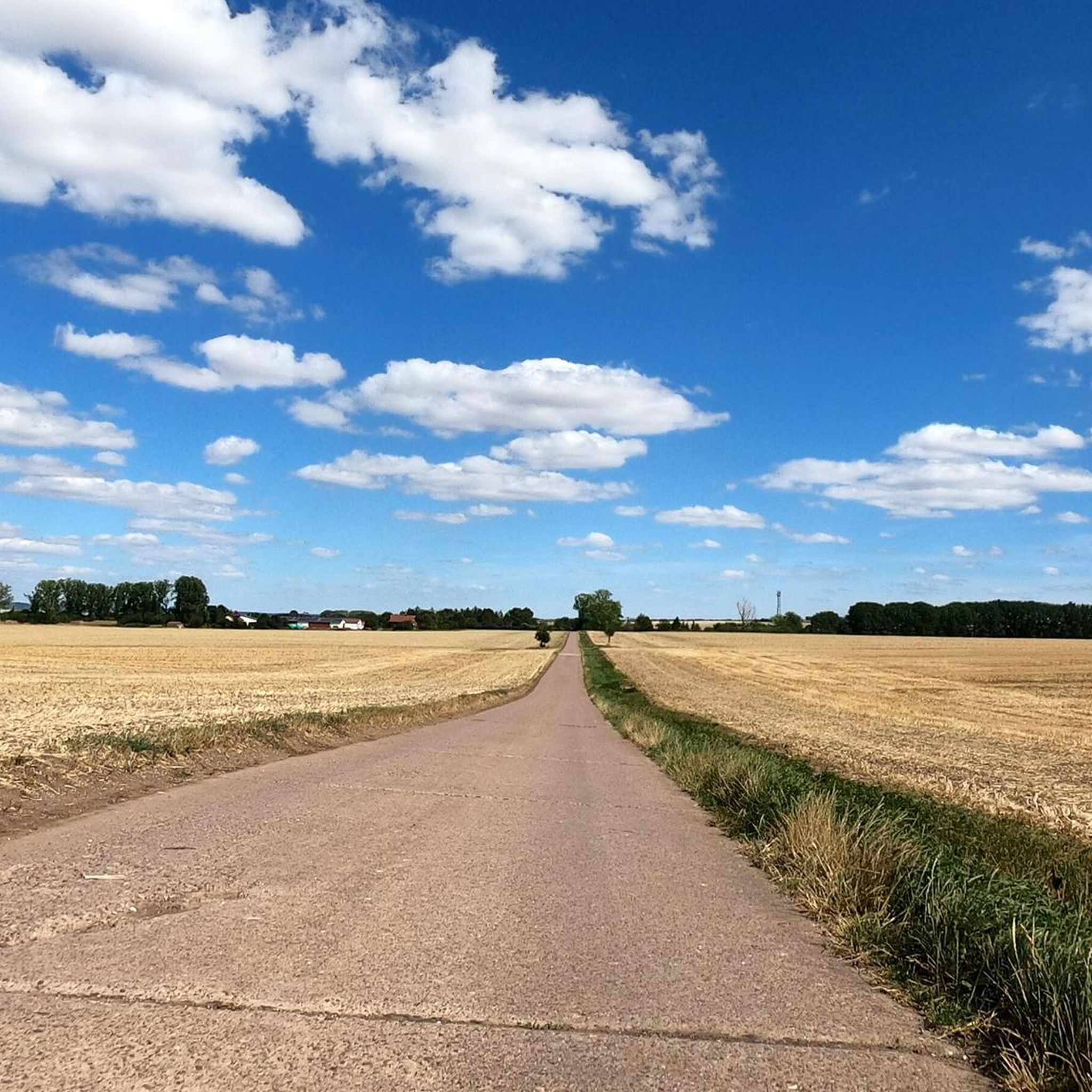
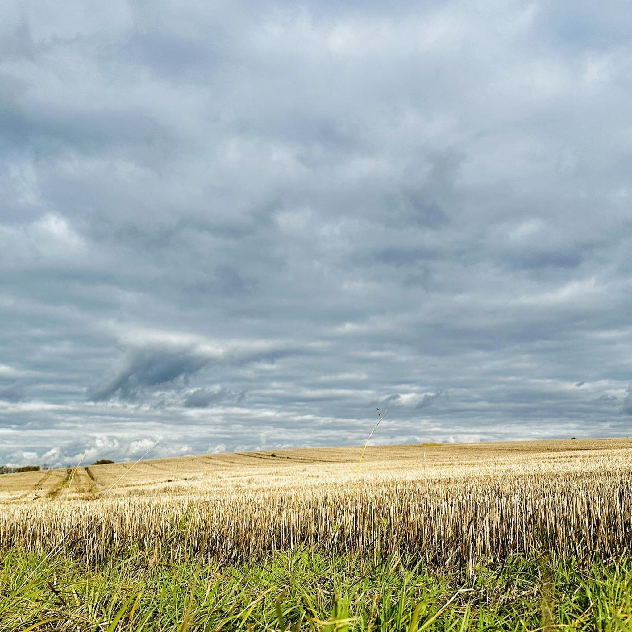
We continue on the path, now through a beautiful landscape in lush green, the crickets chirp enchantingly around us. Now we go uphill, the grass and bushes are getting higher and higher, higher than us, startled by us in the thicket, deer run. We get back onto a forest path and reach the town of Buttelstedt. The church is in the center, the town has been there since 768. We buy drinks and treat ourselves to a refreshment in the ice cream parlor. Now we continue parallel to the road, along the cycle path. https://youtu.be/nFbLNkERv8c
0
0
We continue on the path, now through a beautiful landscape in lush green, the crickets chirp enchantingly around us. Now we go uphill, the grass and bushes are getting higher and higher, higher than us, startled by us in the thicket, deer run. We get back onto a forest path and reach the town of Buttelstedt. The church is in the center, the town has been there since 768. We buy drinks and treat ourselves to a refreshment in the ice cream parlor. Now we continue parallel to the road, along the cycle path. https://youtu.be/_M_yFB9L0mc
0
0

Opinions may be divided as to the location of this beautiful bench. On the one hand, it is relatively close to the ICE bridge, but on the other hand, we were able to take a nice little rest there in the midday sun.
0
0
If you walk around the entire lake, you will pass under this ICE bridge twice, which is part of the Erfurt - Halle/Saale route.
1
0
This riverside path is a very beautiful single trail that always runs along the edge of the river - pure nature! There are also a few places in this section where you can definitely take a refreshing swim in the summer. When we visited, the water surface was already slightly frozen.
0
0
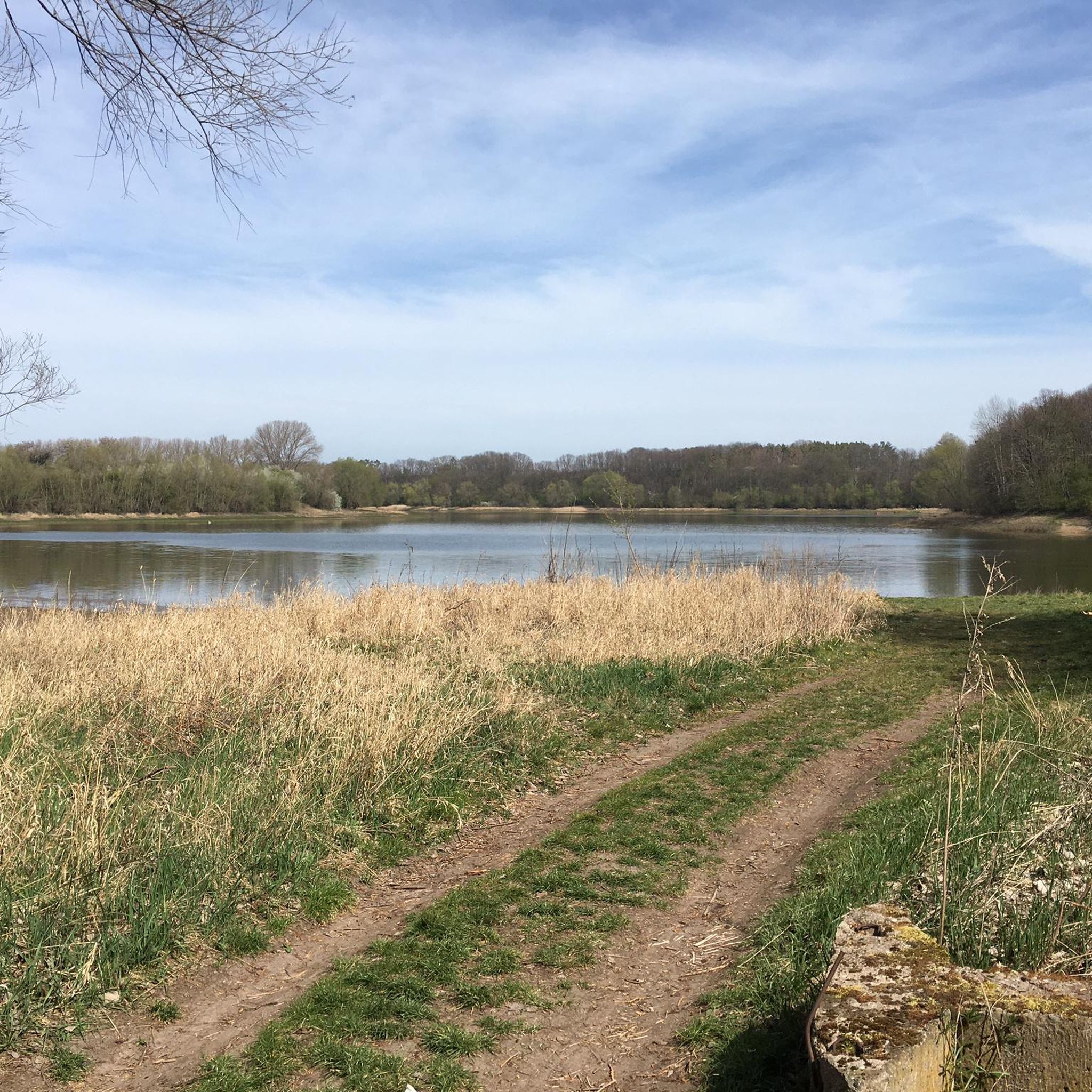
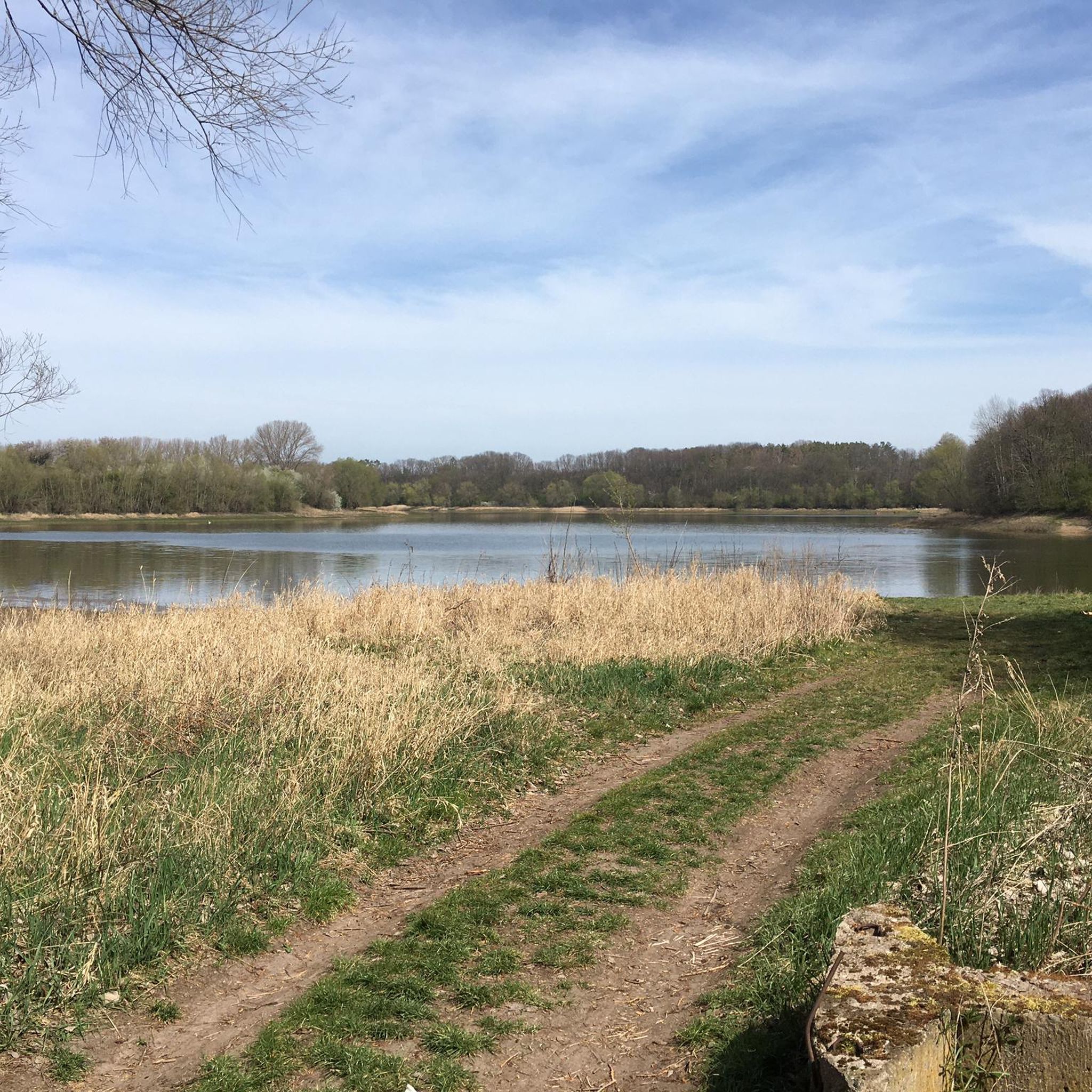
Right on the shore behind the village you have a wonderful view over the lake, whereas the view of the dam is only of an informal nature.
0
0
Frequently Asked Questions
How many hiking trails are available around Stausee Großbrembach?
There are over 140 hiking routes around Stausee Großbrembach. The majority, about 78, are considered easy, while 63 are moderate, and a few are more challenging.
Are there any circular hiking routes around Stausee Großbrembach?
Yes, many of the trails around Stausee Großbrembach are circular, allowing you to start and end at the same point. For example, the St. Wigbert Church – Ford Across the Zulauf Stream loop from Großbrembach is a popular circular option.
What are the best times of year for hiking around Stausee Großbrembach?
Stausee Großbrembach offers pleasant hiking experiences throughout much of the year. Spring and autumn provide comfortable temperatures and beautiful scenery with blooming flora or vibrant fall colors. Summer is also popular, especially for combining hikes with water activities. Winter hiking is possible, but trails might be icy or muddy, so appropriate gear is recommended.
Are the hiking trails around Stausee Großbrembach suitable for families with children?
Yes, the area features many easy trails that are well-suited for families. Paths often meander through lush greenery and along the lake, providing engaging scenery for younger hikers. The Ford Across the Zulauf Stream loop from Großbrembach is an easy option that families might enjoy.
Can I bring my dog on the hiking trails?
Generally, dogs are welcome on the hiking trails around Stausee Großbrembach. However, it's always advisable to keep them on a leash, especially in nature conservation areas or near wildlife. Please ensure you clean up after your pet to maintain the natural beauty of the area.
What kind of natural features or landmarks can I expect to see while hiking?
Hikers can enjoy diverse landscapes, including serene waterscapes along the lake, dense forests, and open meadows. A notable man-made feature is the ICE bridge, part of the Erfurt-Halle/Saale railway line, which you can encounter on routes like the Ford Across the Zulauf Stream – Rest Bench Near the ICE Bridge loop from Krautheim. The Scherkonde Valley also offers unique steppe plants and views over the Thuringian Basin.
Are there any accessible trails for wheelchairs or strollers?
While many trails are relatively flat, some paths, especially those directly along the shoreline or through forests, might have uneven surfaces or natural obstacles. For specific accessible routes, it's best to check individual tour descriptions on komoot for detailed terrain information.
Where can I park my car when hiking at Stausee Großbrembach?
Parking facilities are typically available at various access points around the Stausee Großbrembach. Specific parking locations can often be found marked on detailed hiking maps or within the starting point descriptions of individual komoot tours.
What do other hikers enjoy most about the trails here?
The hiking trails around Stausee Großbrembach are highly rated by the komoot community, with an average score of 4.6 stars from over 400 reviews. Hikers often praise the picturesque lakeside paths, the ecological interest of the Scherkonde Valley, and the variety of routes through forests and meadows that cater to different ability levels.
Are there any cafes or restaurants near the hiking routes?
While the immediate area around the Stausee is primarily natural, the nearby village of Großbrembach and other surrounding communities may offer options for refreshments or meals. It's advisable to check local listings or plan your route to pass through these villages if you wish to stop at a cafe.
How long do the hiking trails typically take to complete?
The duration of hikes varies significantly depending on the route's length and your pace. For instance, the Hiking loop from Krautheim is about 5.3 km and can be completed in under 2 hours, while longer routes like the Scherkonde Stone Bridge – View of the Saale Valley loop from Großbrembach, at 10 km, might take around 3 hours.
What should I bring for a hike around Stausee Großbrembach?
For a comfortable hike, we recommend bringing appropriate footwear, sufficient water, snacks, and weather-appropriate clothing. Sun protection is advisable during warmer months, and a map or GPS device can be helpful for navigation, though many trails are well-marked.
Most popular routes around Stausee Großbrembach

Get inspired with the komoot mobile app


Explore more
Browse the best Hikes in other regions.
