The best road cycling routes around Bleilochstausee
4.7
(126)
1,585
riders
208
rides
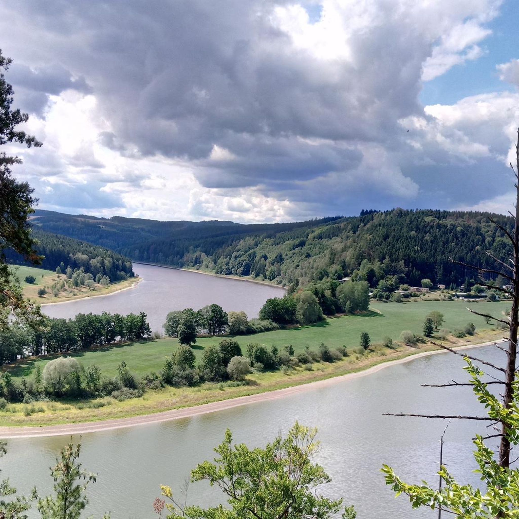
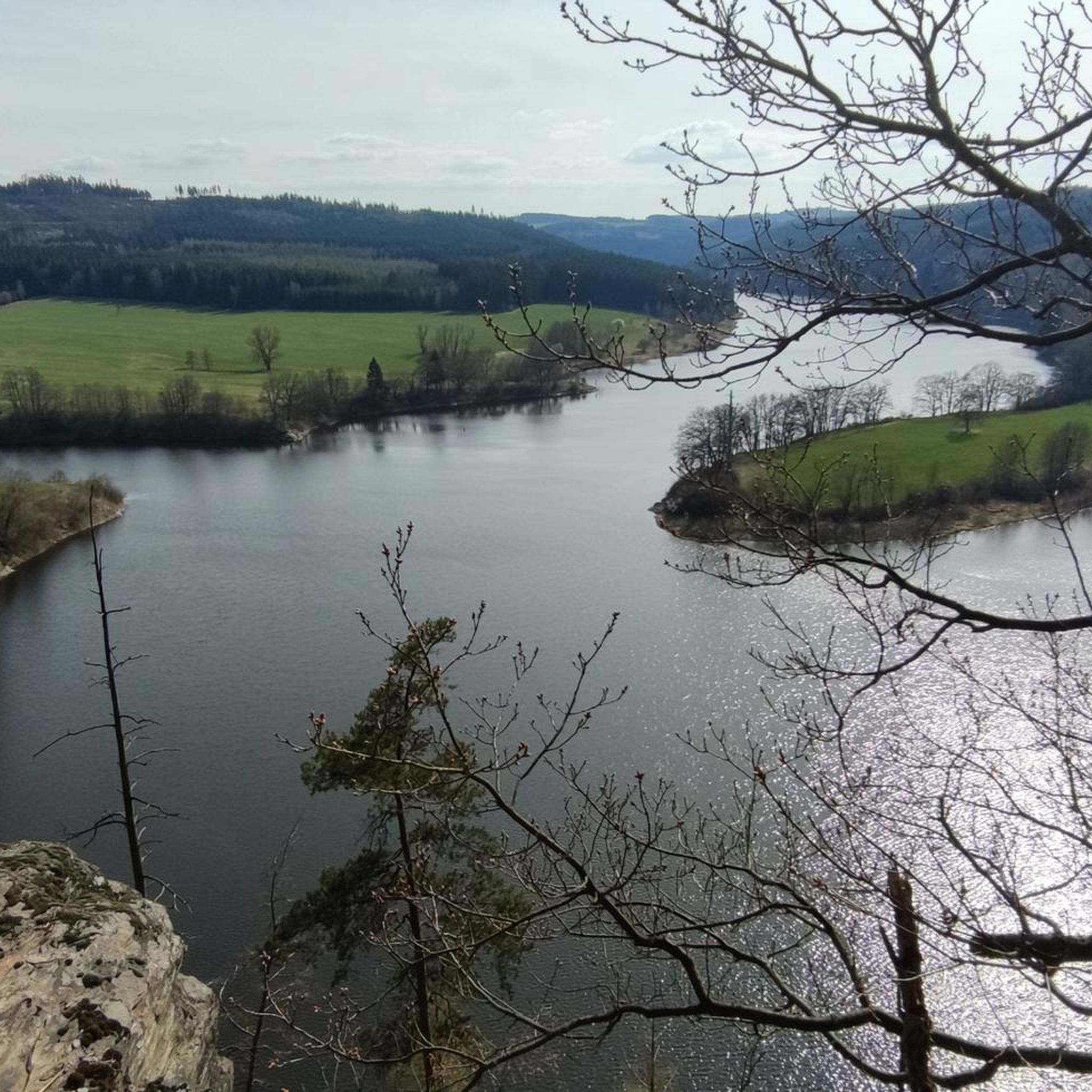
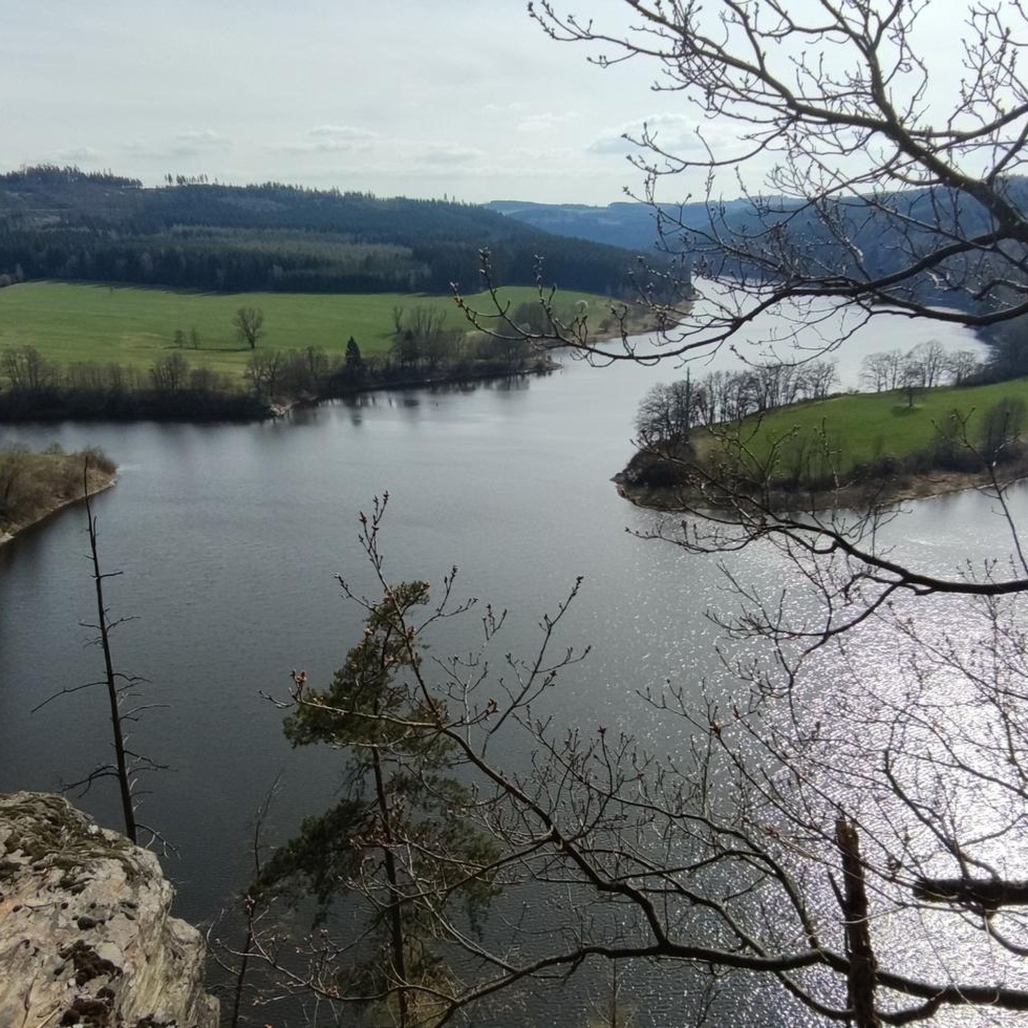
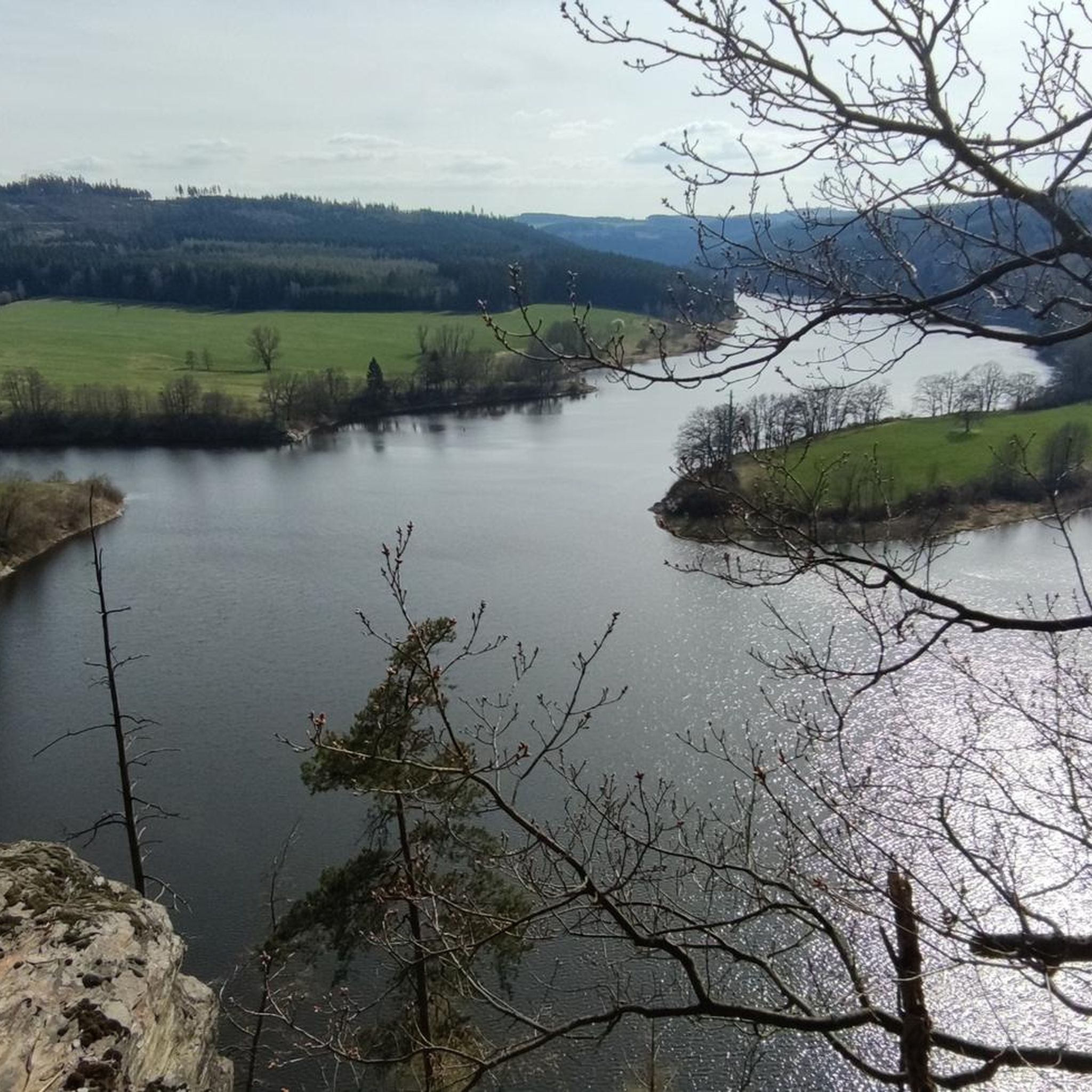
Road cycling routes around Bleilochstausee navigate a distinctive fjord-like landscape within the Thuringian Slate Mountains. The region features extensive mixed forests and varied hilly terrain, providing diverse conditions for cyclists. As Germany's largest reservoir by volume, Bleilochstausee offers scenic views along its shores, with routes winding through picturesque natural features. The area's elevation changes cater to various skill levels, from gentle inclines to more challenging climbs.
Best road cycling routes around Bleilochstausee
- The most popular road cycling route is Bleiloch…
Last updated: June 27, 2026
14
riders
35.8km
01:44
500m
500m
Moderate road ride. Good fitness required. Mostly well-paved surfaces and easy to ride.
5.0
(1)
8
riders
66.9km
03:36
1,090m
1,100m
Hard road ride. Very good fitness required. Some segments of this route may be unpaved and difficult to ride.

Sign up for free
5.0
(1)
12
riders
27.0km
01:23
420m
420m
Moderate road ride. Good fitness required. Some segments of this route may be unpaved and difficult to ride.
4.5
(2)
9
riders
38.0km
01:51
570m
570m
Moderate road ride. Good fitness required. Mostly well-paved surfaces and easy to ride.
5
riders
Hard road ride. Very good fitness required. Mostly well-paved surfaces and easy to ride.
Get access to more routes and recommendations from other explorers.
Sign up for free
Already have an account?
Our route recommendations are based on thousands of hikes, rides, and runs completed by other people on komoot.
Start today with a free account
Your next adventure awaits.
Login or Signup


Other adventures around Bleilochstausee

Tips from the Community

There's a lot to discover in and around the market square. You can find practically everything you need in the immediate vicinity. Opening hours, however, differ slightly from those you'd expect in larger cities :)
1
0

"Today, the castle represents a focal point of cultural life in the West Vogtland town of Pausa-Mühltroff in the Mühltroff district. It was built as a lowland castle on a greenstone cliff. The castle's architectural gem is the medieval defense and watchtower. Also worth seeing is the "Black Kitchen." This old castle kitchen boasts one of the largest chimneys in the Saxon castle landscape, measuring approximately 21.5 meters. The castle houses a variety of club, event, and exhibition spaces, such as: The crank embroidery and jacquard weaving demonstration workshops The Eschke company exhibition The local history rooms The Vogtland costume association's traditional costume exhibition The art gallery with the MOMENTmal! exhibition The Rudolf Hirschberger Cabinet The "Memories of Mühltroff" exhibition Various events of different genres also take place. Individual tours from the cellar to the roof are also available outside of regular events by appointment." - https://www.schloss-muehltroff.de/
1
0

great weather, nice tour
0
0

The church was first mentioned in documents in 1289. The church tower is a trigonometric height reference point in the land survey network of Saxony and Bavaria.
0
0

The dam was declared a historical landmark of engineering in Germany in 2016.
9
0

A 🏃🏼♀️ detour to the dam is absolutely worthwhile 🤩.
19
0
The Bleiloch Dam, the upper reservoir, has a storage area of 9.2 km² and, with its total storage capacity of 213 million m³, is one of the largest reservoirs in Germany.
23
0

Frequently Asked Questions
What kind of terrain can I expect when road cycling around Bleilochstausee?
The Bleilochstausee region, often called the "Thuringian Sea," is characterized by a distinctive fjord-like landscape within the Thuringian Slate Mountains. You'll encounter extensive mixed forests and varied hilly terrain, offering both gentle inclines and more challenging climbs. The routes often wind along the reservoir's shores, providing scenic views.
How many road cycling routes are available around Bleilochstausee?
There are over 200 road cycling routes around Bleilochstausee, catering to various skill levels. This includes 11 easy routes, 121 moderate routes, and 82 difficult routes, ensuring options for beginners and experienced cyclists alike.
Are there routes suitable for beginners or families around Bleilochstausee?
Yes, the region offers routes suitable for beginners and families. While the area has varied terrain, there are 11 routes classified as easy, providing more gentle inclines and less demanding paths. These routes often follow the shores or utilize well-maintained bike paths through the forests.
What are some notable viewpoints or attractions I can see along the road cycling routes?
Many routes offer stunning views of the Bleiloch Reservoir and the surrounding landscape. You can cycle past the impressive Bleiloch Dam, or enjoy panoramic vistas from points like the View of the Saale River from the Totenfels or the View of the Saale River Bend from Heinrichstein. Some routes also lead towards cultural landmarks like Burgk Castle.
What do other road cyclists enjoy most about cycling in Bleilochstausee?
The area is highly rated by the komoot community, with an average score of 4.7 stars from over 120 reviews. Cyclists frequently praise the region's diverse terrain, the picturesque fjord-like landscape, and the well-maintained paths that offer both challenging climbs and scenic, leisurely rides along the reservoir.
Are there any specific routes that offer a good loop around the reservoir?
Yes, many routes are designed as loops, allowing you to experience different parts of the reservoir. For example, the Bleiloch Dam – Wetterabrücke loop from Saalburg-Ebersdorf is a popular moderate route that circles parts of the reservoir, offering views of the dam and surrounding areas.
What is the best time of year for road cycling around Bleilochstausee?
The best time for road cycling around Bleilochstausee is generally from spring to autumn. During these seasons, the weather is most favorable, and the mixed forests are particularly beautiful. Summer also offers the chance for refreshing dips in the reservoir's natural pools and free beaches.
Are there options for challenging road cycling routes with significant elevation gain?
Absolutely. The hilly terrain of the Thuringian Slate Mountains provides ample opportunities for challenging rides. For instance, the Bleiloch Dam – Sparnberg Wooden Bridge loop from Saalburg-Ebersdorf is a difficult 66.9 km path featuring significant elevation gain, ideal for experienced cyclists seeking a demanding workout.
Where can I find parking for road cycling routes around Bleilochstausee?
Parking is generally available in towns and villages around the Bleilochstausee, such as Saalburg-Ebersdorf, which serves as a common starting point for many routes. Look for designated parking areas near popular trailheads or tourist information centers.
Are there cafes or restaurants along the road cycling routes for a break?
While specific locations vary, the Bleilochstausee region is a popular tourist destination, and you can find cafes and restaurants in the towns and villages along the reservoir's shores. Many routes pass through or near these settlements, offering opportunities for a break and refreshments.
Can I combine road cycling with other activities at Bleilochstausee?
Yes, Bleilochstausee is a hub for various outdoor activities. Besides road cycling, you can enjoy water sports like sailing, surfing, boating, and stand-up paddling. The region also offers extensive hiking trails, making it easy to combine cycling with other nature-based pursuits.
Are the road cycling paths around Bleilochstausee generally paved?
Many of the dedicated cycling paths and roads around Bleilochstausee are paved, making them suitable for road bikes. The region is known for its well-signposted routes that cater to cyclists, ensuring a smooth riding experience on appropriate surfaces.
Most popular routes around Bleilochstausee
Most popular attractions around Bleilochstausee

Get inspired with the komoot mobile app


Explore more
Browse the best Road cycling routes in other regions.
