The best walks and hikes around Dam Leibis-Lichte
4.6
(3369)
11,742
hikers
608
hikes
Hiking around Dam Leibis-Lichte offers trails through the Thuringian Highland, a region characterized by dense woodlands and the Lichte River. The river carves deep gorges, some over 200 meters, creating varied terrain. The area features the Leibis-Lichte Dam, a significant 102.5-meter-tall gravity dam, and the Deesbach Forebay. Hikers can explore paths along the reservoir and through forested surroundings.
Best hiking trails around Dam Leibis-Lichte
- The most popular hiking route is View of the Leibis Dam – View of the Leibis-Lichte…
Last updated: May 13, 2026
4.6
(7)
37
hikers
Moderate hike. Great for any fitness level. Mostly accessible paths. Sure-footedness required.
4.6
(9)
30
hikers
11.8km
03:31
320m
320m
Moderate hike. Good fitness required. Mostly accessible paths. Sure-footedness required.

Sign up for free
4.6
(30)
99
hikers
Moderate hike. Great for any fitness level. Mostly accessible paths. Sure-footedness required.
5.0
(4)
25
hikers
Moderate hike. Good fitness required. Easily-accessible paths. Suitable for all skill levels.
4.8
(14)
79
hikers
Moderate hike. Good fitness required. Easily-accessible paths. Suitable for all skill levels.
Get access to more routes and recommendations from other explorers.
Sign up for free
Already have an account?
Our route recommendations are based on thousands of hikes, rides, and runs completed by other people on komoot.
Start today with a free account
Your next adventure awaits.
Login or Signup

Other adventures around Dam Leibis-Lichte

Tips from the Community

I almost didn't find the stamp box, it's on the other side of the signposts.
0
0

A very nice place to rest, and definitely worth a photo.
0
0

Somewhat hidden. With a cabin and a great view.
0
0
The stamping station can be reached even when the gate is closed.
0
0
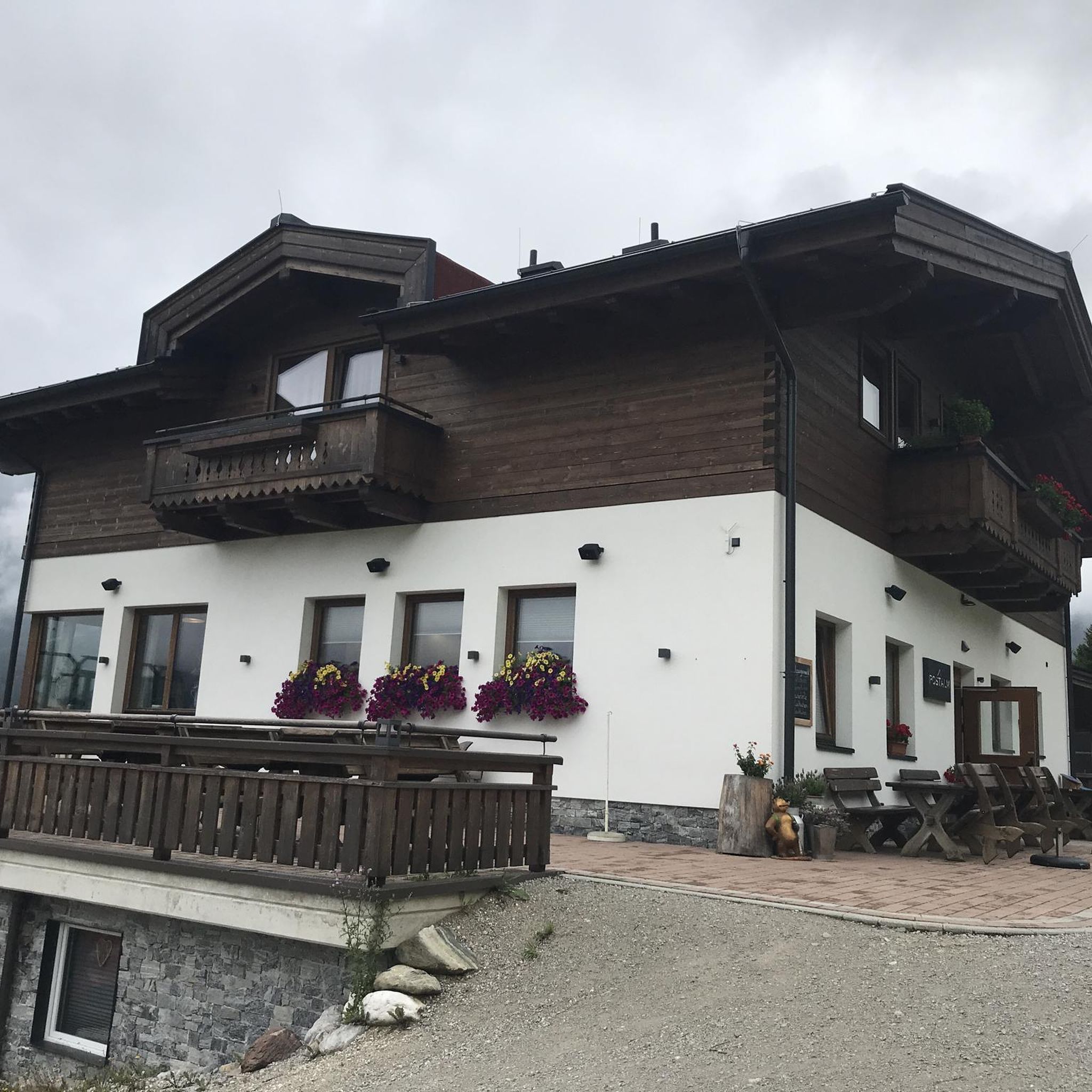
An impressive building. No matter the season.
0
0

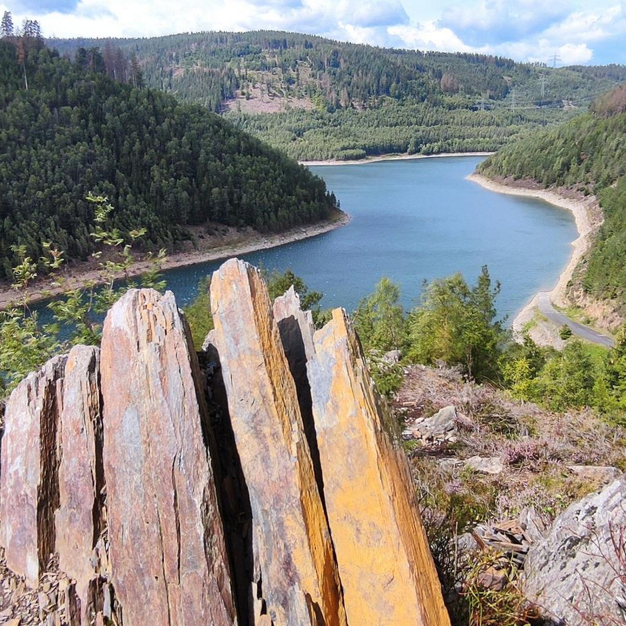
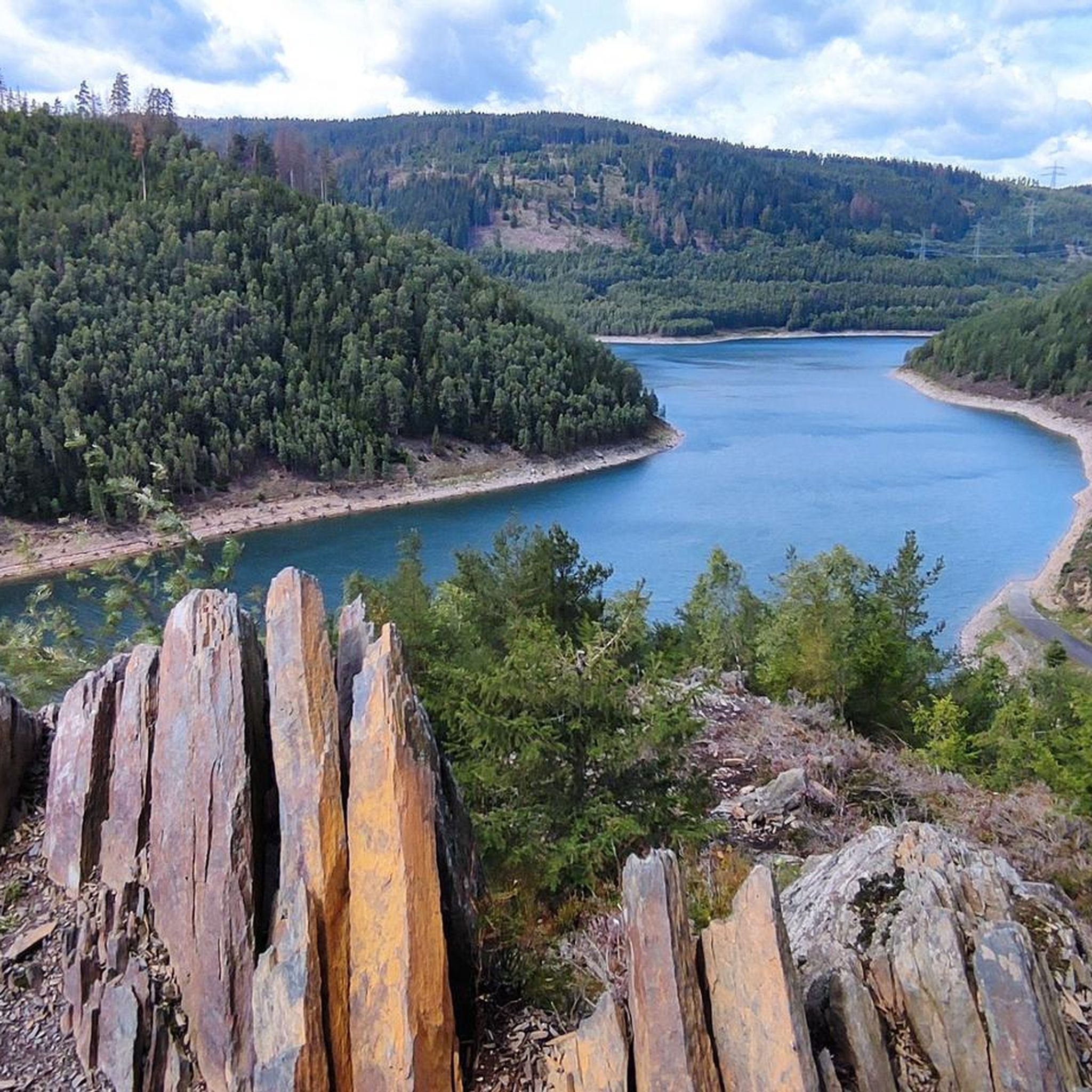
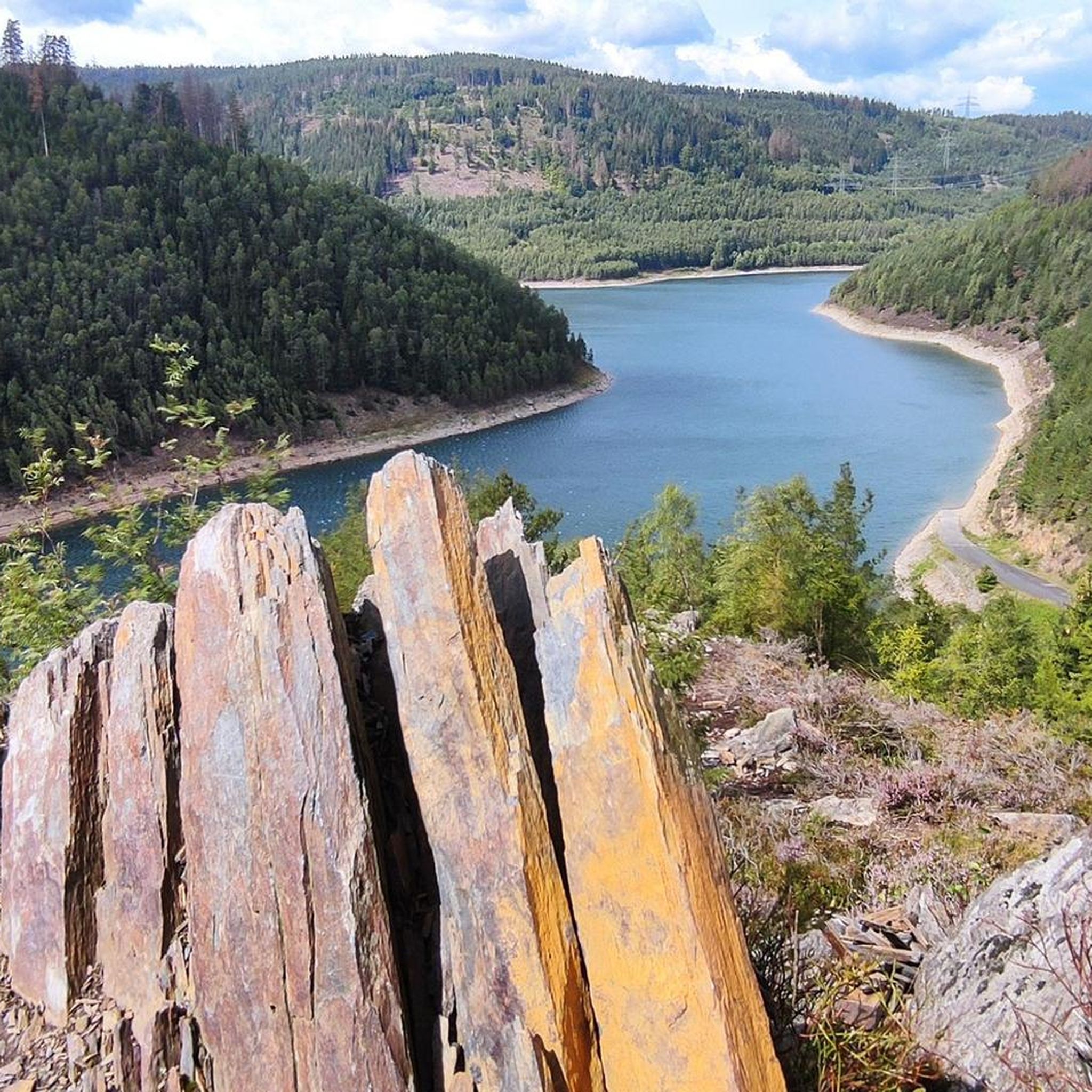
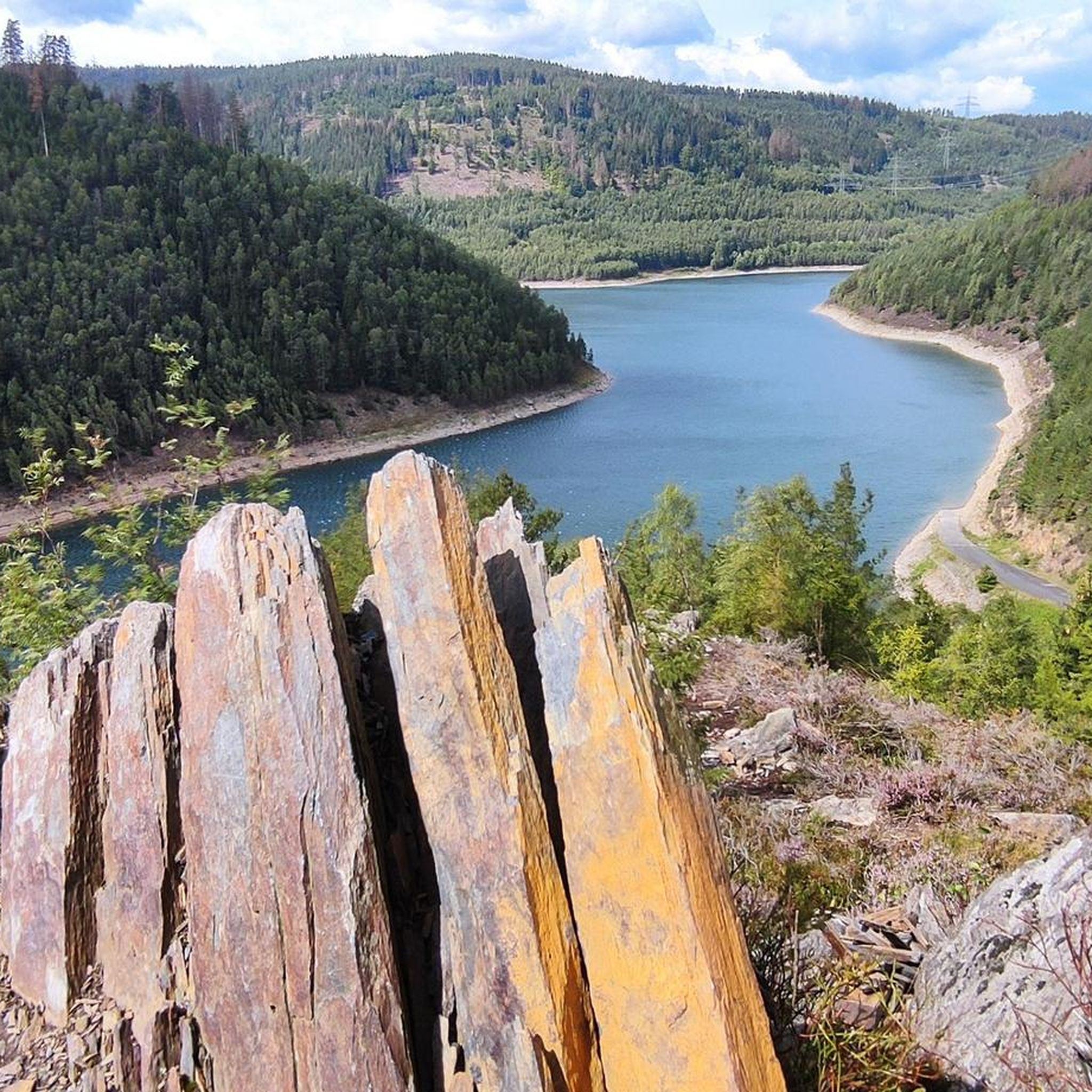
The small detour to Quelitzfelsen is worth it for its wonderful view and Touringen stamp 166 is where you can find it.
0
0
The climb ⛰️from the hiking car park 🚐🚙 below the dam is worth it not only for the touring stamp 165. The view is also magnificent 🤩
0
0

Touringen stamp station directly at the entrance to the dam!
2
0
Frequently Asked Questions
What kind of terrain can I expect when hiking around Dam Leibis-Lichte?
The region is characterized by the scenic Thuringian Highland, featuring dense woodlands and the Lichte River. You'll encounter varied terrain, including deep and steep gorges carved by the river, some over 200 meters deep. Paths often follow the reservoir, offering continuous water views, and lead through forested areas. Expect a mix of challenging and picturesque routes.
Are there easy hiking trails suitable for beginners or families?
Yes, there are plenty of options for various fitness levels. Out of over 600 routes, 281 are classified as easy. For a shorter, family-friendly option, consider the View of the Leibis-Lichte Dam – Quelitzfelsen Lookout loop from Unterweißbach, which is 2.1 miles (3.4 km) long and takes about 1 hour 9 minutes.
Can I bring my dog on the hiking trails around Dam Leibis-Lichte?
Many trails around Dam Leibis-Lichte are suitable for hiking with dogs, allowing you to explore the natural beauty together. However, always ensure your dog is kept on a leash, especially in nature protection areas or near wildlife, and be mindful of other hikers. Check specific route details on komoot for any restrictions.
Are there any circular hiking routes around the dam or reservoir?
Yes, circular routes are a popular way to experience the area. The Leibis-Lichte Dam – Leibis-Lichte Reservoir loop from Unterweißbach is a moderate 7.3 miles (11.8 km) path that encircles the reservoir, providing continuous views of the water and forested areas. Another option is the View of the Leibis Dam – View of the Leibis-Lichte Dam loop from Unterweißbach, a 3.7 miles (5.9 km) moderate trail offering expansive dam views.
What are the best viewpoints or natural features to see during a hike?
The dam area offers several impressive viewpoints. The 102.5-meter-tall Leibis-Lichte Dam wall itself provides expansive views. Other notable spots include the observation pavilion near the dam wall and the Schneiderfelsen – Touring stamp 169, which offers excellent panoramic vistas. You can also find views of the Deesbach Forebay from locations like the Waldschutzhütte am Urianfelsen.
How many hiking trails are available in the Dam Leibis-Lichte area?
There are over 600 hiking routes available around Dam Leibis-Lichte. These range in difficulty, with approximately 281 easy, 286 moderate, and 43 difficult trails, ensuring options for every skill level.
What do other hikers say about the trails around Dam Leibis-Lichte?
The routes in Dam Leibis-Lichte are highly rated by the komoot community, with an average score of 4.6 stars from over 3,100 reviews. Hikers often praise the varied terrain, the impressive dam structure, and the continuous views of the reservoir and surrounding forests.
Are there any places to eat or rest along the hiking trails?
While the immediate dam area is primarily natural, some longer routes may pass by or near places offering refreshments. For example, the View of the Leibis-Lichte Dam – Gasthaus Engelchen Zum Miese loop from Unterweißbach is a longer trail that includes a stop at Gasthaus Engelchen Zum Miese. It's always a good idea to check specific route details for available amenities.
What is the best time of year to go hiking in Dam Leibis-Lichte?
The Thuringian Highland offers beautiful scenery throughout the year. Spring brings lush greenery, while autumn showcases vibrant fall foliage. Summer is ideal for longer days and warmer weather, and even winter hiking can be picturesque, though some paths might be more challenging due to snow or ice. Each season offers a unique experience of the dam and its surroundings.
Is there public transport available to reach the Dam Leibis-Lichte hiking trails?
While the region is best accessed by car, some local bus services might connect surrounding villages to the dam area. It's recommended to check local public transport schedules for the Thuringian Highland region, particularly services to towns like Unterweißbach, which is a common starting point for many trails.
Where can I find parking for hiking around Dam Leibis-Lichte?
Designated parking areas are typically available near popular trailheads and access points to the dam. Many routes, such as those starting from Unterweißbach, will have nearby parking facilities. Look for signs indicating hiker parking as you approach the dam area.
Are there any cultural elements or unique attractions along the trails?
Yes, the dam trail incorporates cultural aspects, with wood sculptures installed along the path that also serve as seating, enhancing the hiking experience with artistic touches. Additionally, the dam structure itself is a significant engineering marvel worth exploring.
Most popular routes around Dam Leibis-Lichte
Most popular attractions around Dam Leibis-Lichte

Get inspired with the komoot mobile app


Explore more
Browse the best Hikes in other regions.
