The best mountain hikes around Dam Schmalwasser
6
hikers
4
hikes
Mountaineering routes around Dam Schmalwasser traverse the challenging topography of the Thuringian Forest, characterized by extensive mixed forests and significant elevation changes. The region features the Schmalwasser Dam, often called the "Tambach Sea," which offers routes with considerable ups and downs. Gorges like the Marderbach and Röllchen add varied terrain, while viewpoints such as Brandfelsen and Meister-Eckhart provide expansive vistas over the reservoir and surrounding natural environment. These routes demand good fitness and sure-footedness due to gravel sections and varied…
Last updated: July 4, 2026
1
hikers
15.6km
04:27
360m
360m
Moderate mountaineering route. Good fitness required. Easily-accessible paths. Suitable for all skill levels.
Easy mountaineering route. Great for any fitness level. Easily-accessible paths. Suitable for all skill levels.

Sign up for free
4
hikers
7.58km
02:06
130m
130m
Moderate mountaineering route. Good fitness required. Easily-accessible paths. Suitable for all skill levels.
1
hikers
6.89km
01:53
100m
100m
Easy mountaineering route. Great for any fitness level. Easily-accessible paths. Suitable for all skill levels.
Our route recommendations are based on thousands of hikes, rides, and runs completed by other people on komoot.
Start today with a free account
Your next adventure awaits.
Login or Signup
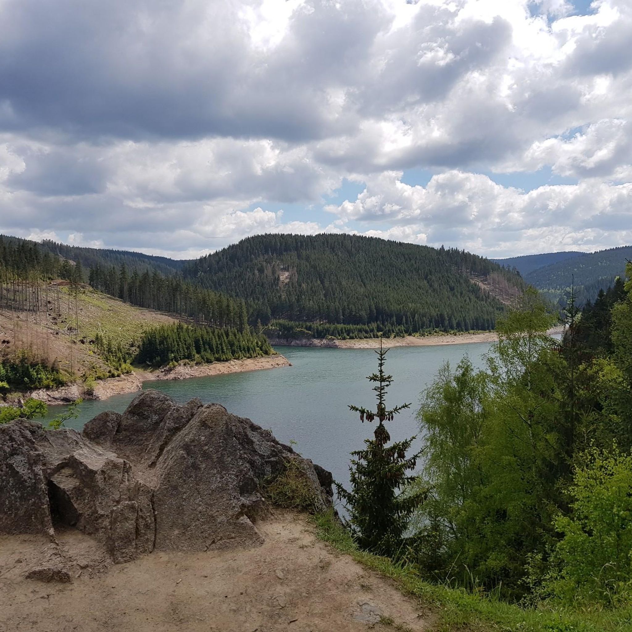
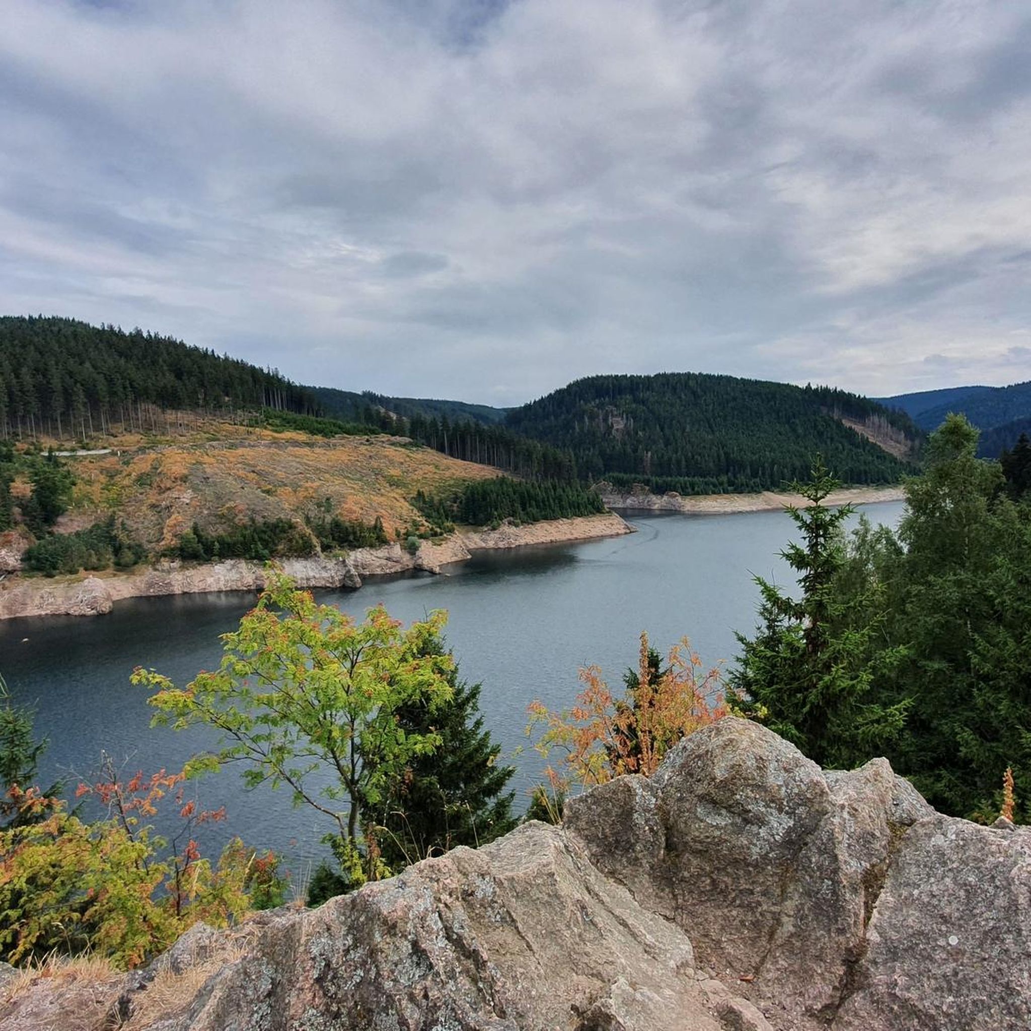
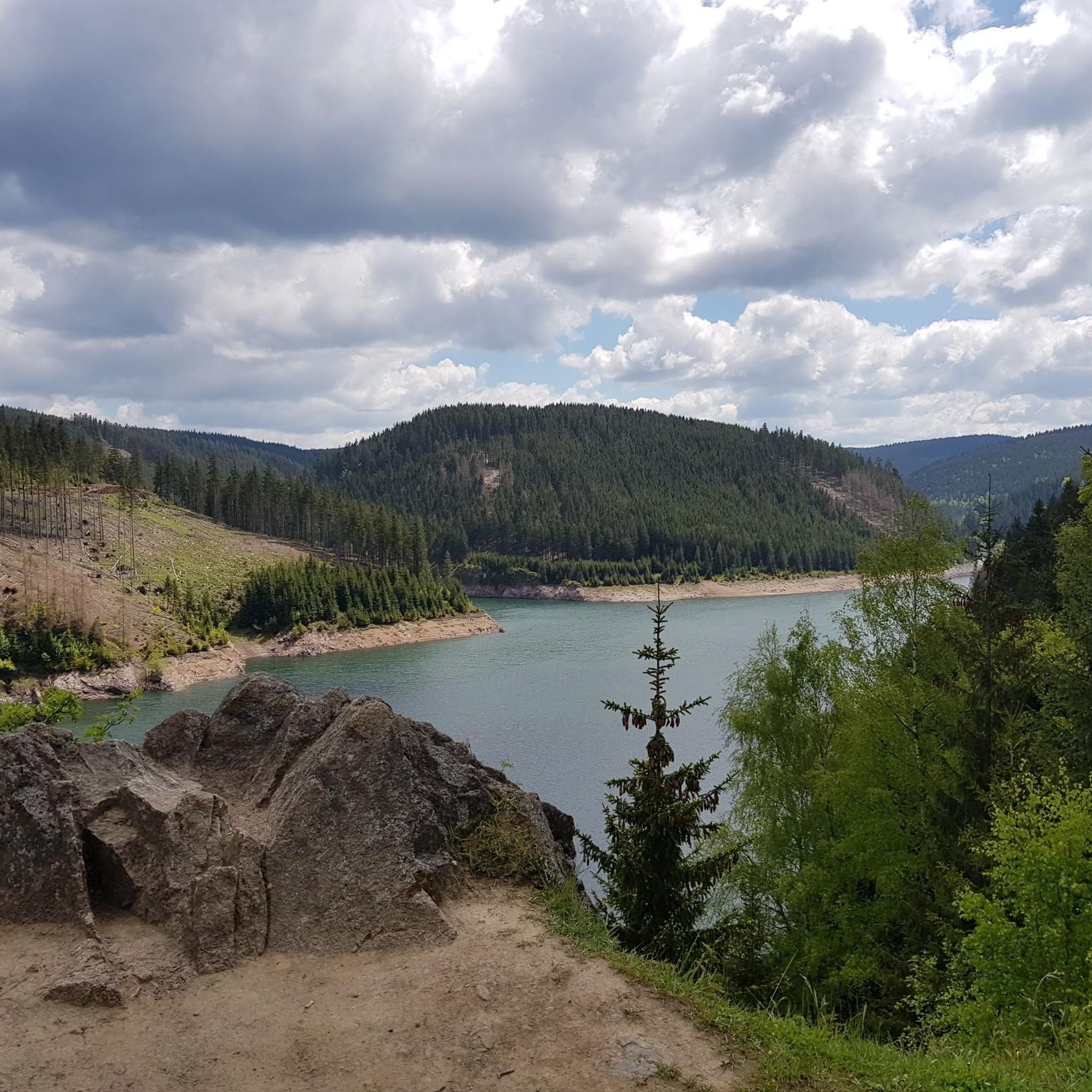
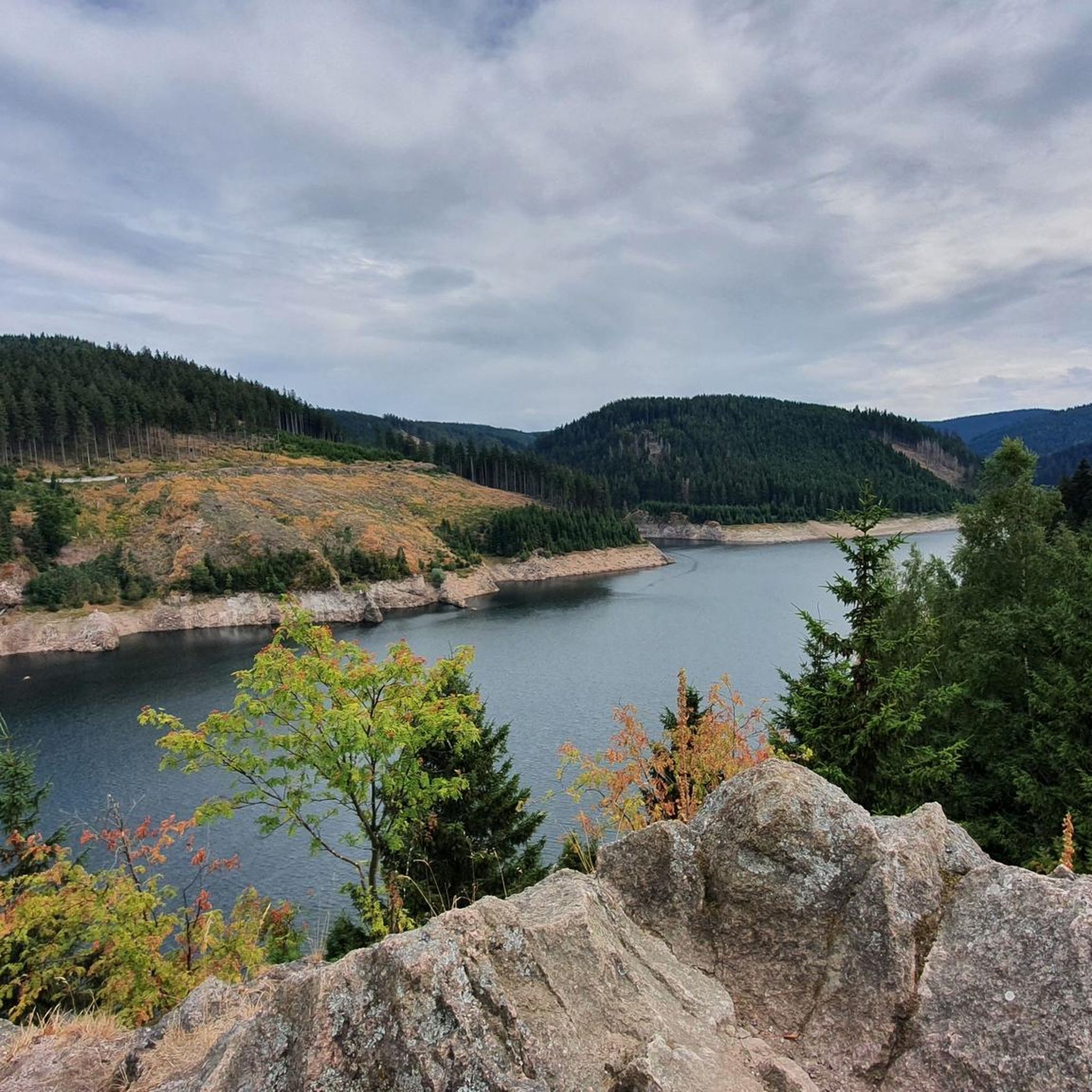
Tips from the Community


It's a great place for hiking.
0
0


Wooden shelter with seating directly on the Rennsteig, as well as a stamping point.
6
0
Former Imperial Post Office with beautiful half-timbered architecture, built in 1889/90, today a pharmacy and residential building.
8
1

A very beautiful facility
11
0

Not far from the ski jump at Kanzlersgrund, you can take a break here and refill your drinks.
0
0
Very nice water features👍
15
0
Frequently Asked Questions
What is the general difficulty and terrain like for mountaineering routes around Dam Schmalwasser?
The mountaineering routes around Dam Schmalwasser are characterized by challenging topography within the Thuringian Forest. You can expect significant elevation changes, with many ups and downs, and sections with gravel. While there are no technically difficult routes requiring climbing gear in this specific guide, the trails demand good fitness and sure-footedness. The area offers both easy and moderate routes, with none classified as difficult.
Are there any circular mountaineering routes available?
Yes, many routes around Dam Schmalwasser are circular, allowing you to start and end at the same point. For example, the Wedelbachteich – Apfelstädt Spring loop from Tambach-Dietharz is a moderate 15.6 km circular trail. Another option is the Hohe Möst Viewpoint – Hohes Moos Viewpoint loop from Schützenbergmoor, which is a moderate 9.6 km loop offering panoramic views.
What natural features and viewpoints can I expect to see along the routes?
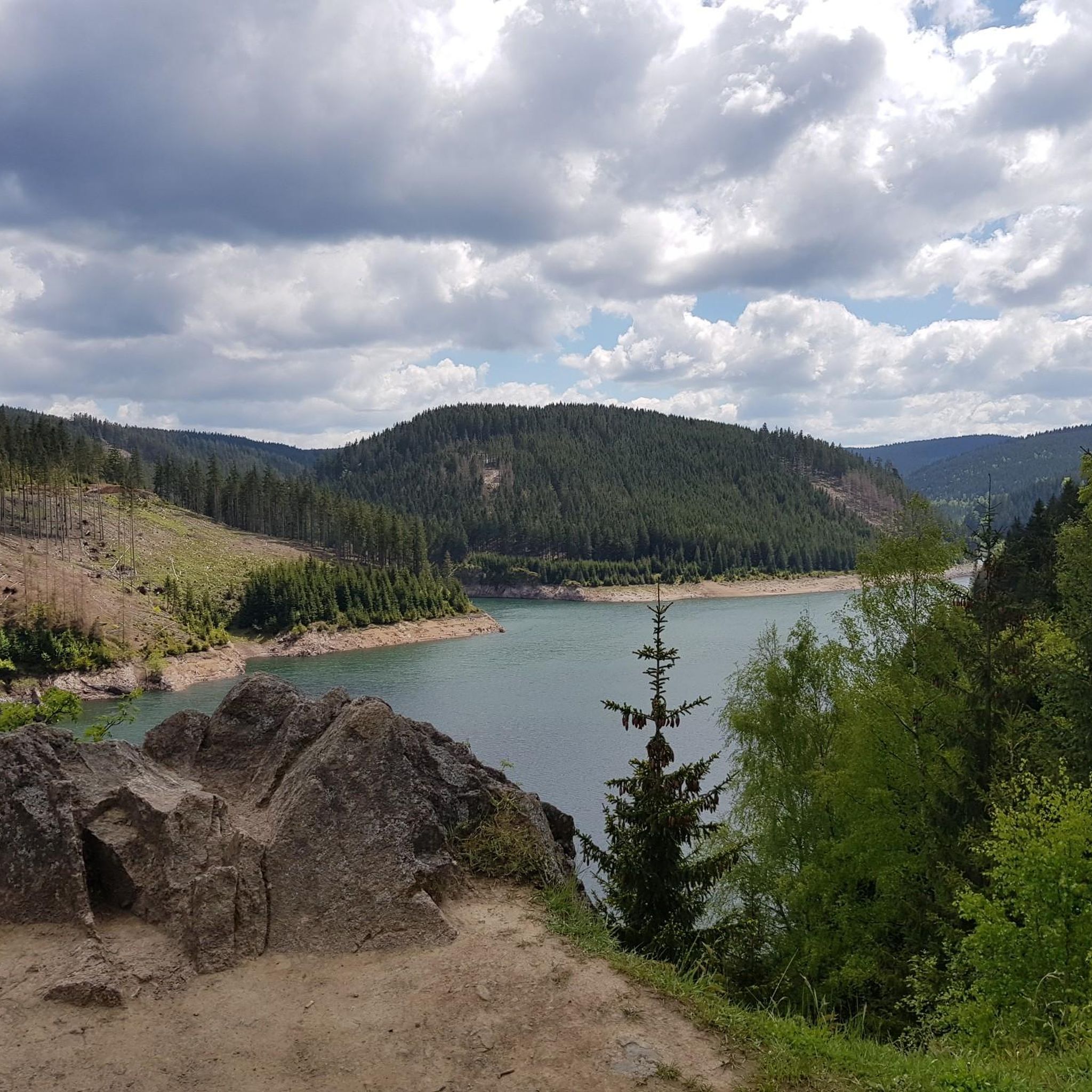
The region is rich in natural beauty and offers several impressive viewpoints. You'll encounter the significant Schmalwasser Dam itself, often called the "Tambach Sea." Key viewpoints include the View of the Schmalwasser Dam and the Salweidewand Shelter with a view of the Schönbrunn Reservoir, both providing breathtaking vistas. The routes also traverse extensive mixed forests and feature gorges like the Marderbach and Röllchen, adding varied terrain to your experience.
Are there family-friendly mountaineering options around Dam Schmalwasser?
While many routes involve significant elevation changes, there are easier options suitable for families with good fitness. The Axel Shelter on the Rennsteig – Grenzadler Shelter loop from Schützenbergmoor is an easy 5.8 km trail that can be completed in about 1 hour 36 minutes, making it a good choice for a shorter family outing. Another easy option is the Oberhof – Oberhof Winter Sports Center loop from Oberhof, which is 6.7 km long.
What is the best time of year to go mountaineering in this area?
The Thuringian Forest, including the Dam Schmalwasser area, is beautiful year-round. Spring and autumn offer pleasant temperatures and vibrant foliage, making them ideal for hiking. Summer provides longer daylight hours, though some sections can be warm. During colder months, the Thuringian Forest transforms into a winter sports paradise, offering opportunities for activities like ski mountaineering, but trail conditions will vary significantly and require appropriate gear and experience.
Are dogs allowed on the mountaineering trails?
Generally, dogs are welcome on the hiking and mountaineering trails in the Thuringian Forest. However, it's always advisable to keep them on a leash, especially in forested areas to protect wildlife and ensure the safety of other hikers. Be sure to check for any specific local regulations or protected areas that might have restrictions.
Where can I find parking near the trailheads?
Parking is typically available at common starting points for trails around Dam Schmalwasser and in nearby towns like Tambach-Dietharz or Oberhof. Specific parking information is usually detailed on individual route pages on komoot. It's recommended to check the route details for designated parking areas before your trip.
Are there any cafes or pubs near the mountaineering routes?
Yes, you can find cafes, pubs, and restaurants in the towns surrounding Dam Schmalwasser, such as Tambach-Dietharz and Oberhof. These establishments offer opportunities for refreshments and meals before or after your mountaineering adventure. Some routes might also pass by shelters or huts where basic provisions could be available, but it's best to carry your own supplies.
What do other mountaineers enjoy most about the routes around Dam Schmalwasser?
The area is highly rated by the komoot community, with an average score of 5.0 stars. Reviewers often praise the challenging topography, the stunning panoramic views from various viewpoints, and the immersive experience of traversing the dense mixed forests. The diverse terrain, including gorges and the impressive dam, also contributes to a rewarding outdoor adventure.
Are there any less crowded routes if I prefer solitude?
While the main routes around the dam can be popular, exploring some of the slightly longer or less central trails might offer more solitude. The Thuringian Forest is extensive, so venturing a bit further from the immediate dam area or choosing routes that are not highlighted as 'most popular' could lead to a quieter experience. Early mornings or weekdays are generally less crowded.
Do I need any special permits for mountaineering in this region?
For general hiking and mountaineering on the established trails around Dam Schmalwasser, you typically do not need special permits. The area is part of the Thuringian Forest, which is accessible for recreational activities. However, if you plan to engage in technical climbing in specific areas of the broader Thuringian Forest, such as Falkenstein or Hülloch Grotto, those activities might require specific equipment and experience, and it's always wise to check local regulations for such specialized activities.
What kind of wildlife might I spot while mountaineering?
The extensive mixed forests of the Thuringian Forest are home to a variety of wildlife. You might encounter deer, wild boar, various bird species, and smaller mammals. Keep an eye out for birds of prey soaring above the valleys. Respecting their habitat by staying on marked trails and keeping a quiet demeanor increases your chances of a sighting.
Most popular routes around Dam Schmalwasser
Most popular attractions around Dam Schmalwasser

Get inspired with the komoot mobile app


Explore more
Browse the best Mountain Hikes & Routes in other regions.
