The best walks and hikes around Dam Ratscher
4.6
(2055)
6,895
hikers
453
hikes
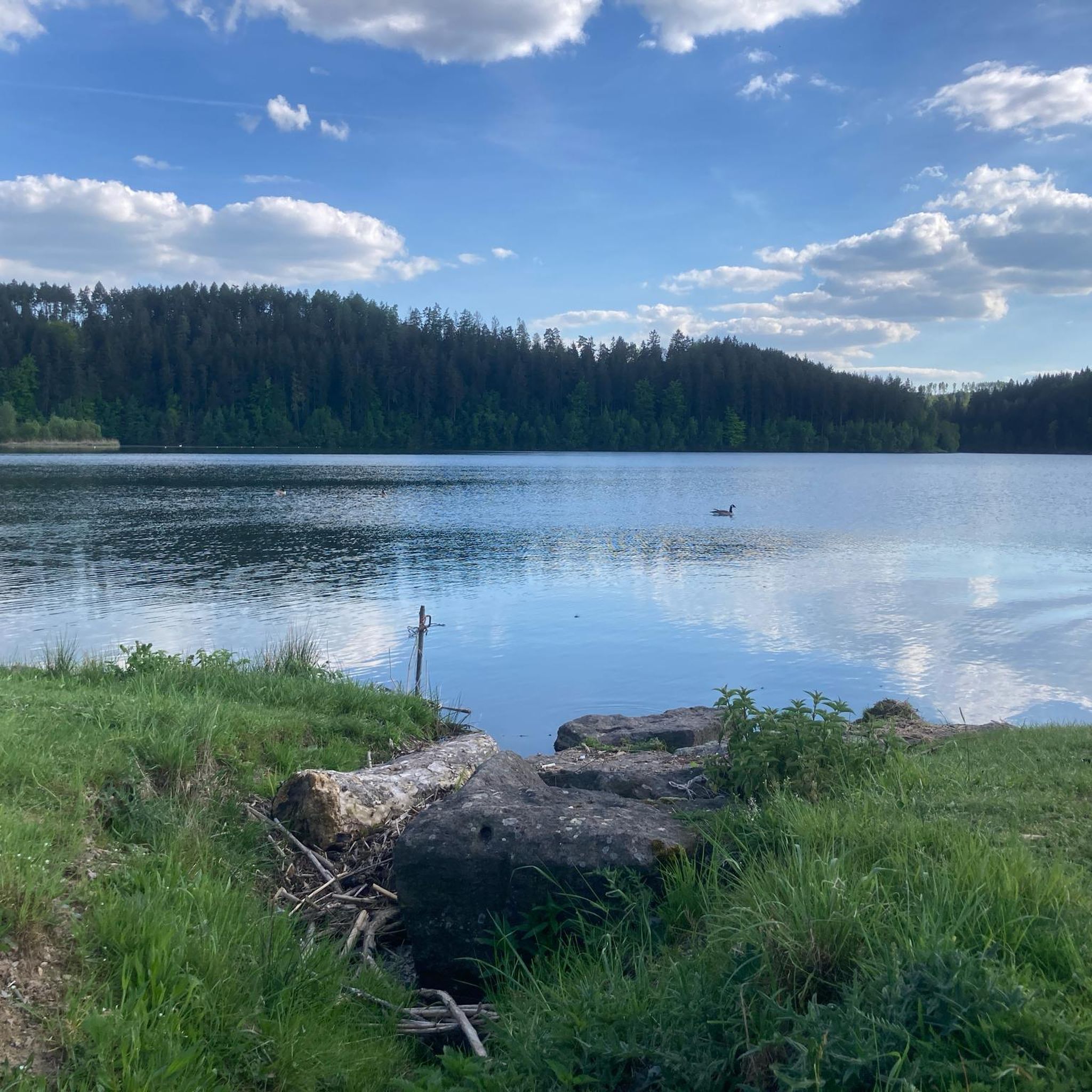
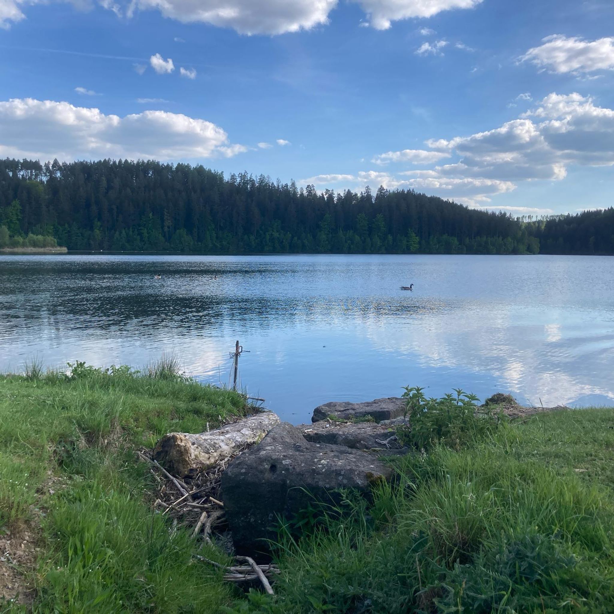
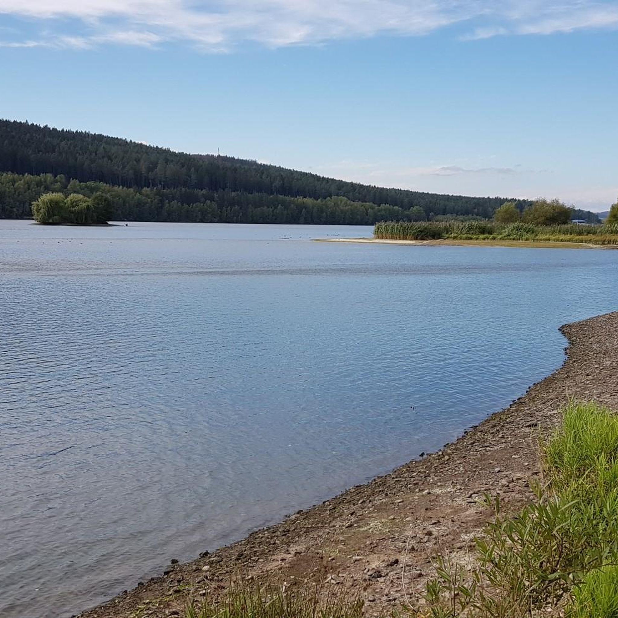
Hiking around Dam Ratscher, also known as Bergsee Ratscher, is centered around a reservoir in southern Thuringia, Germany, near Schleusingen. The region features diverse hiking trails that navigate the picturesque landscape amidst heavily wooded mountains. The terrain includes accessible paths for easy walks and more demanding routes with varied elevation gains. The Dam Ratscher hiking area offers scenic views of the reservoir and surrounding natural features.
Best hiking trails around Dam Ratscher
- The most popular hiking route is View of Bergsee Ratscher – Schwarze Kanzel Viewpoint loop from Heckengereuth, a 3.7 miles (6.0 km) trail that takes 1 hour 40 minutes to complete. This easy route offers scenic vistas of the mountain lake.
- Another top favourite among local hikers is Bergsee Ratscher – View of Ratscher Reservoir loop from Heckengereuth, a moderate 5.7 miles (9.2 km) path. This trail loops around the reservoir, providing views of the water.
- Local hikers also love the Schleusingen Market Square – The Seven Trees loop from Heckengereuth, a 6.2 miles (9.9 km) trail leading through varied landscapes, often completed in about 2 hours 42 minutes.
- Hiking around Dam Ratscher is defined by the central dam and reservoir, diverse trails, and viewpoints like Schwarze Kanzel. The network offers options for different ability levels, from easy walks to more challenging routes.
- The routes in Dam Ratscher are highly rated by the komoot community with an average score of 4.6 stars from over 1,900 reviews. More than 6,900 hikers have used komoot to explore Dam Ratscher's varied terrain.
Last updated: June 27, 2026
4.3
(18)
37
hikers
Easy hike. Great for any fitness level. Easily-accessible paths. Suitable for all skill levels.
1.0
(4)
14
hikers
8.94km
02:25
120m
120m
Moderate hike. Good fitness required. Easily-accessible paths. Suitable for all skill levels.

Sign up for free
5.0
(7)
13
hikers
12.9km
03:28
160m
160m
Moderate hike. Good fitness required. Easily-accessible paths. Suitable for all skill levels.
4.3
(14)
33
hikers
Easy hike. Great for any fitness level. Easily-accessible paths. Suitable for all skill levels.
4.3
(71)
250
hikers
Moderate hike. Good fitness required. Easily-accessible paths. Suitable for all skill levels.
Get access to more routes and recommendations from other explorers.
Sign up for free
Already have an account?
Our route recommendations are based on thousands of hikes, rides, and runs completed by other people on komoot.
Start today with a free account
Your next adventure awaits.
Login or Signup
Tips from the Community

Don't forget to stamp 👍😊👍
0
0
Very heartfelt look into nature and landscape 👍
1
0


The Evangelical Lutheran St. John's Church in Schleusingen was once a castle church. By 1498, it was a Gothic hall church with a 44-meter-high steeple. It was built in 1235 and was expanded until 1729, and has been continuously restored to this day.
0
0
The German School is a significant half-timbered building dating from 1681 in the small town of Schleusingen in southern Thuringia. The Henneberg-style timber frame stands on a sandstone base and is covered by a hipped gable roof. The building has been municipally owned since 2017. Long periods of vacancy have left their mark on its structure. Following extensive renovation and restoration, a guesthouse and inn will revitalize the historic building located next to the new bus station.
0
0

At the confluence of the Erle and the Nahe, in the midst of the medieval small town of Schleusingen, rises the mighty Bertholdsburg Castle. From the 13th century, it served the Counts of Henneberg as their ancestral seat and is the oldest residential castle in Thuringia. In the 15th and 16th centuries, the fortified castle was converted into an early modern palace in the Renaissance style. Today, the castle houses the Natural History Museum. The 40-meter-high main tower offers a picturesque view of the southern foothills of the Thuringian Forest.
14
0

Very impressive building!
2
0

Frequently Asked Questions
What types of hiking trails are available around Dam Ratscher?
The Dam Ratscher area offers a diverse range of hiking trails. You'll find everything from easy, accessible paths suitable for casual walks to more challenging routes that require good physical condition and surefootedness. In total, there are over 460 routes, with a good balance of easy and moderate options.
Are there easy hiking options suitable for beginners or families?
Yes, Dam Ratscher is very welcoming for beginners and families. Over 220 of the available routes are classified as easy, featuring accessible paths and gentle elevation gains. These are perfect for a relaxed outing. An example is the View of Bergsee Ratscher – Schwarze Kanzel Viewpoint loop from Heckengereuth, which is an easy 3.7-mile loop offering scenic lake views.
Are there any viewpoints or natural features to look out for on the trails?
Absolutely. The central feature is the picturesque Bergsee Ratscher (mountain lake) itself, formed by the dam. Many trails offer stunning vistas of the lake. A notable spot is the Aussichtspunkt Schwarze Kanzel (Black Pulpit Viewpoint), which provides excellent panoramic views of the reservoir and surrounding landscape.
How long do hikes typically take around Dam Ratscher?
Hike durations vary significantly. Easy walks can be completed in under two hours, while moderate trails might take up to five hours. For those seeking a greater challenge, some demanding routes can exceed five hours, requiring very good physical condition.
Can I bring my dog on the hiking trails?
Generally, the natural trails around Dam Ratscher are suitable for dogs. However, it's always recommended to keep your dog on a leash, especially in nature protection areas or when encountering wildlife. Please be mindful of other hikers and local regulations.
Are there any circular hiking routes available?
Yes, many of the trails around Dam Ratscher are designed as loops, allowing you to start and end at the same point without retracing your steps. For instance, the Bergsee Ratscher – View of Ratscher Reservoir loop from Heckengereuth is a popular moderate circular path that takes you around the reservoir.
What is the best time of year to go hiking in Dam Ratscher?
The Dam Ratscher region is beautiful year-round. Spring brings blooming nature, summer offers pleasant temperatures for longer excursions, and autumn showcases vibrant foliage. Even in winter, with appropriate gear, the snow-covered landscape can be very appealing for hiking.
Where can I park when visiting Dam Ratscher for a hike?
Parking facilities are typically available near popular trailheads and access points around the Dam Ratscher area, especially in and around Heckengereuth, which serves as a common starting point for many routes. Look for designated parking areas when planning your visit.
What do other hikers enjoy most about the trails in Dam Ratscher?
The trails in Dam Ratscher are highly rated by the komoot community, with an average score of 4.6 stars from nearly 2,000 reviews. Hikers often praise the beautiful landscape surrounding the lake, the varied scenery, and the well-maintained paths that cater to different fitness levels.
Are there any longer, more challenging routes for experienced hikers?
Yes, for those seeking a more strenuous experience, there are challenging routes available. While the majority are easy to moderate, 17 routes are classified as difficult, featuring significant elevation gains and potentially requiring surefootedness and sturdy footwear. An example of a moderate route with varied terrain is the View of Bergsee Ratscher – Schleuse River Viewpoint loop from Heckengereuth.
Are there any routes that pass by historical sites or landmarks?
While the primary focus is on natural beauty, some routes may lead you through areas with historical significance or near local landmarks. For example, the The Seven Trees – Bertholdsburg Castle loop from Heckengereuth offers a moderate hike that includes a connection to Bertholdsburg Castle, providing a glimpse into the region's past.
Is public transport an option to reach the hiking areas?
Information on specific public transport connections directly to all trailheads is limited. However, the Dam Ratscher area is located near Schleusingen, which likely has bus connections. It is advisable to check local public transport schedules for routes connecting to villages or access points around the dam.
Most popular routes around Dam Ratscher

Get inspired with the komoot mobile app


Explore more
Browse the best Hikes in other regions.
