The best mountain hikes around Dam Neustadt
5.0
(3)
7
hikers
4
hikes
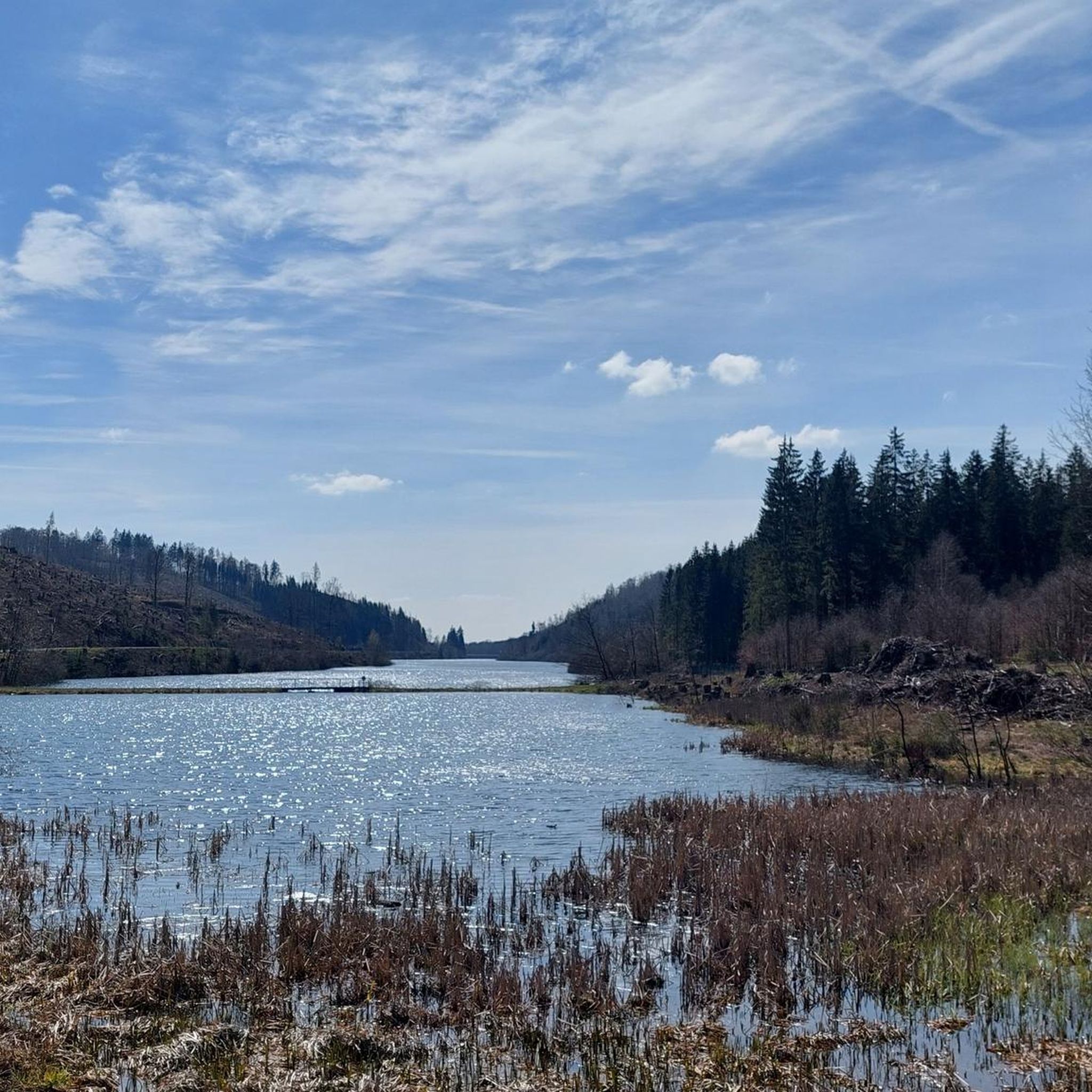
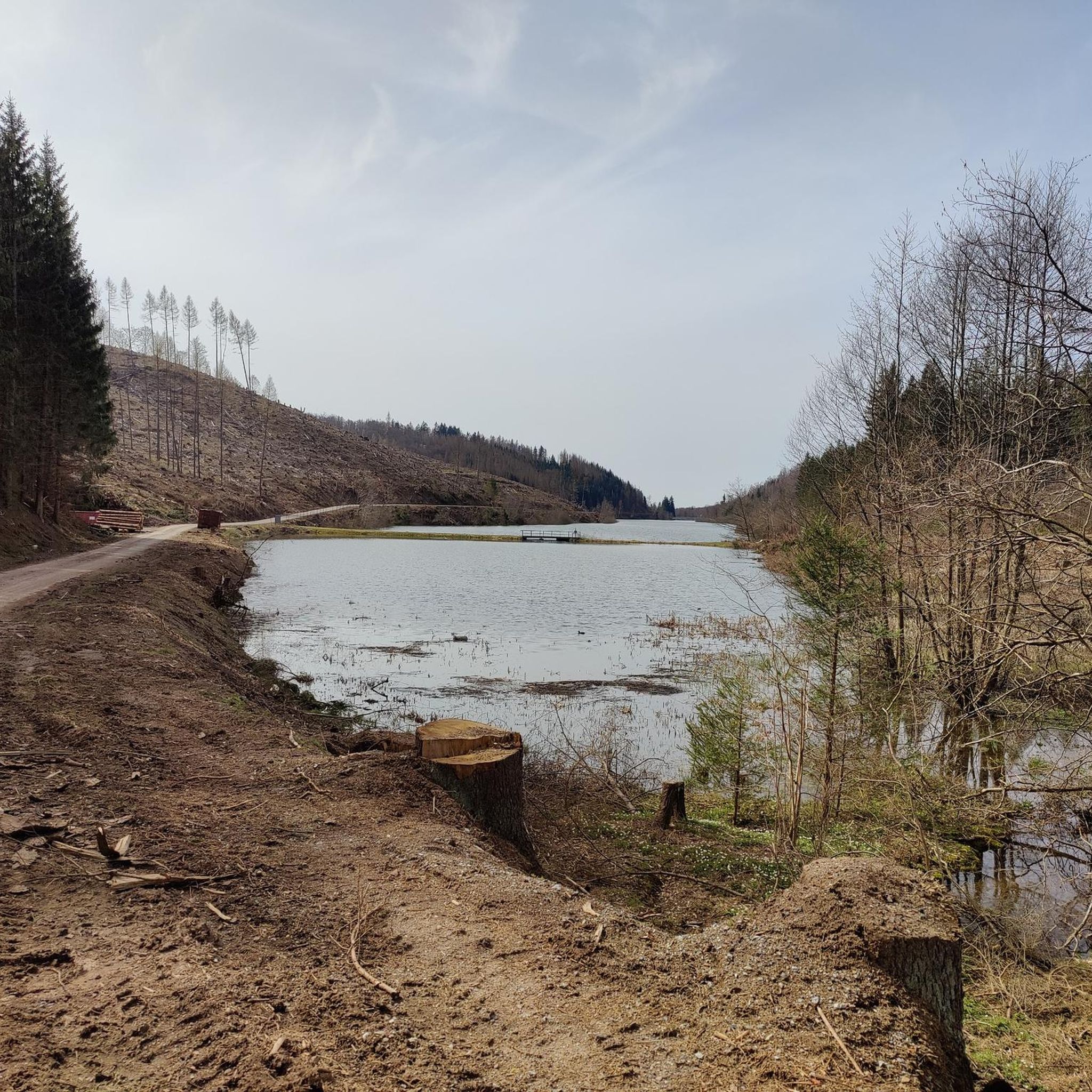
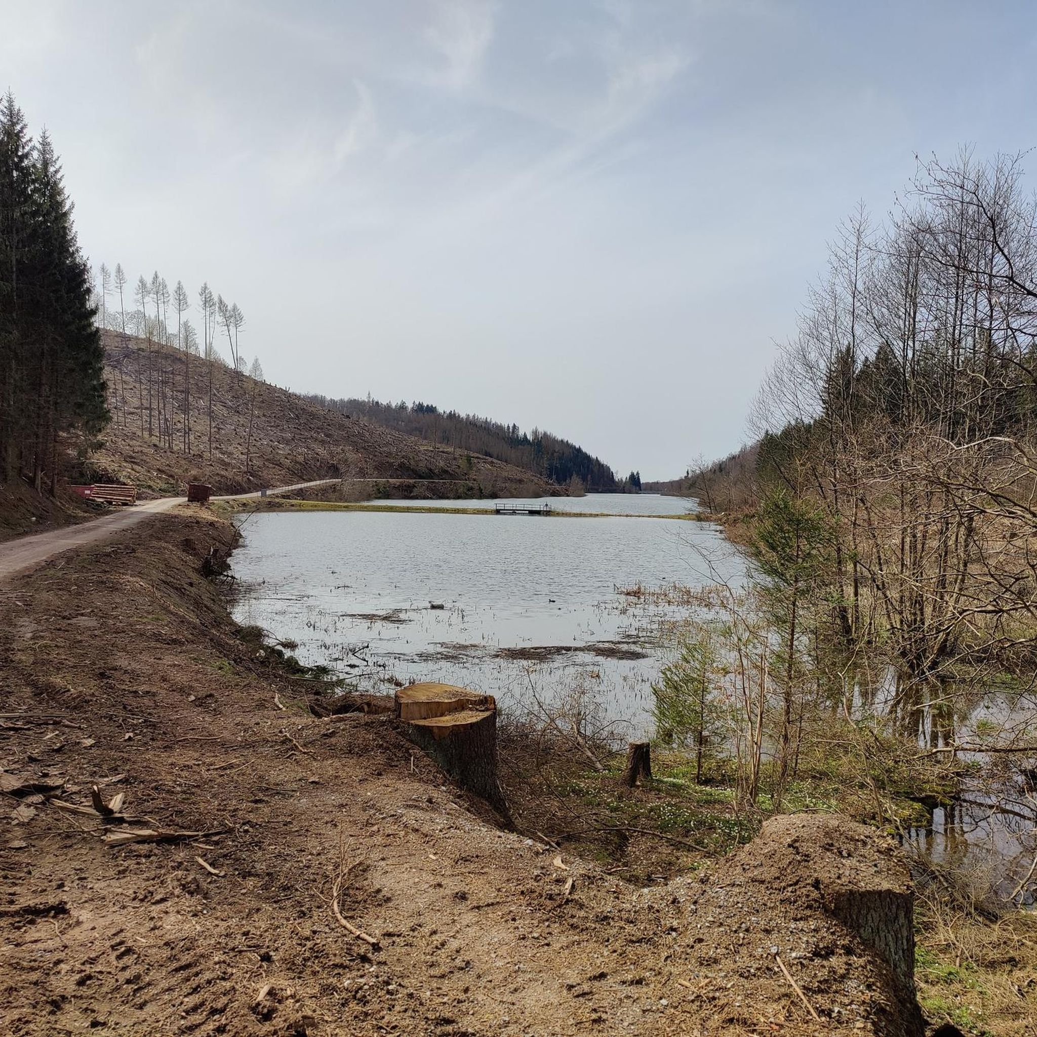
Mountaineering routes around Dam Neustadt are situated within the Harz Mountains, offering challenging mountain-like treks. The region is characterized by dense forests and the presence of the Neustadt Dam, a curved gravity dam built of rubble stone. Trails often feature significant elevation changes and require good fitness and sure-footedness. The area is part of the Harzer Wandernadel hiking system, providing a network of well-marked paths.
Best mountaineering routes around Dam Neustadt
- The most popular mountaineering route is Three-valley view (HWN…
Last updated: June 27, 2026
5.0
(1)
2
hikers
7.77km
02:38
280m
280m
Hard mountaineering route. Good fitness required. Sure-footedness, sturdy shoes and alpine experience required.
2
hikers
Moderate mountaineering route. Good fitness required. Mostly accessible paths. Sure-footedness required.

Sign up for free
5.0
(2)
2
hikers
Hard mountaineering route. Good fitness required. Sure-footedness, sturdy shoes and alpine experience required.
1
hikers
12.5km
03:37
250m
250m
Hard mountaineering route. Good fitness required. Sure-footedness, sturdy shoes and alpine experience required.
Our route recommendations are based on thousands of hikes, rides, and runs completed by other people on komoot.
Start today with a free account
Your next adventure awaits.
Login or Signup
Tips from the Community

Very quiet corner. We hardly met any other hikers. The view from the tower is fantastic. You can see all the way to the Thuringian Forest, the Kyffhäuser Monument, and of course also the Brocken and the Wurmberg. And all this for free. Absolute recommendation!
0
0

That's not a waterfall, it's just a silly pipe. 0 out of 10 stars.
0
0

nice cozy and quiet corner, the tower also seems to offer a great view (unfortunately it was too high for me) 😎👍
0
0

Pure spring awakening! Discover the fragrant wild garlic meadows in the South Harz Nature Park. A walk or a short hike through lush meadows and light forests, where you can experience the aromatic wild garlic in its natural habitat. Perfect for nature lovers, photography enthusiasts, and anyone who wants to enjoy the fresh air and colors of the South Harz.
0
0

Easy to reach by bike and dog!
0
0

The official hiking trails are well developed and accessible. However, if you choose the single trails T2, you will have to cross difficult terrain to get to them. Here it goes steeply uphill and downhill. The signs are easy to understand even for non-locals and there are unmissable markings every 1-2 km. This means you can get by without navigation.
0
0

Definitely worth a visit. Further information and opening hours can be found here: https://www.rabensteiner-stollen.de/. https://youtu.be/Lgy5evuXHvw?feature=shared https://de.m.wikipedia.org/wiki/Rabensteiner_Stollen
2
0

Beautiful new observation tower (probably actually built for HSB communications) with a platform at 30 m. The paths here are quite easy to walk.
3
0
Frequently Asked Questions
What are the typical difficulty levels for mountaineering routes around Dam Neustadt?
Mountaineering routes around Dam Neustadt primarily range from moderate to difficult. Out of the 4 routes listed, 1 is rated as moderate and 3 are considered difficult, indicating that many trails require good fitness and sure-footedness. For example, the Three-valley view (HWN 93) – Ilfeld Barbecue Area loop from Naturpark Südharz is a difficult route with a significant ascent of 1,513 feet (461 meters).
How many mountaineering routes are available in the Dam Neustadt area?
There are at least 4 distinct mountaineering routes detailed for the Dam Neustadt area. These routes are part of the broader Harzer Wandernadel hiking system, offering a network of well-marked paths for exploration.
What kind of terrain and natural features can I expect on these mountaineering routes?
The terrain around Dam Neustadt, situated in the Harz Mountains, is characterized by dense forests and significant elevation changes. You'll encounter challenging mountain-like treks, often requiring sturdy shoes. The region is home to the Neustadt Dam itself, a curved gravity dam built of rubble stone, adding a unique historical and engineering feature to the landscape.
Are there any circular mountaineering routes around Dam Neustadt?
Yes, all the mountaineering routes listed for Dam Neustadt are circular. For instance, the Poppenberg Tower (HWN 92) – Three-valley view (HWN 93) loop from Ilfeld is a 6.7-mile (10.8 km) loop, and the Goose's Beak – Three-valley view (HWN 93) loop from Ilfeld is a 4.7-mile (7.5 km) path, both designed as loops.
What are some notable landmarks or viewpoints along the mountaineering routes?
Several routes feature prominent landmarks and viewpoints. The Poppenberg Tower (HWN 92) – Three-valley view (HWN 93) loop from Ilfeld takes you past the Poppenberg Tower. Another route, Carlsturm Observation Tower – Walzhaus Shelter loop from Sophienhof, includes the Carlsturm Observation Tower, offering rewarding views.
How long do these mountaineering routes typically take to complete?
The duration of these routes varies depending on their length and difficulty. For example, the difficult Three-valley view (HWN 93) – Ilfeld Barbecue Area loop from Naturpark Südharz, which is 6.9 miles (11.0 km) long, typically takes around 3 hours 47 minutes. A shorter, difficult route like the Goose's Beak – Three-valley view (HWN 93) loop from Ilfeld (4.7 miles / 7.5 km) takes approximately 2 hours 35 minutes.
What do other mountaineers say about the routes around Dam Neustadt?
The mountaineering routes in Dam Neustadt are highly regarded by the komoot community, holding an average rating of 5.0 stars from over 3 reviews. Users often praise the challenging ascents and the immersive experience within the dense Harz forests.
Are there any beginner-friendly mountaineering routes in the Dam Neustadt area?
While the region is known for its challenging mountain-like treks, there is one route classified as moderate: the Poppenberg Tower (HWN 92) – Three-valley view (HWN 93) loop from Ilfeld. This 6.7-mile (10.8 km) trail offers a good option for those looking for a less strenuous mountaineering experience while still enjoying the forested landscapes.
What is the best time of year for mountaineering around Dam Neustadt?
Given the region's dense forests and potential for significant elevation changes, spring, summer, and autumn generally offer the most favorable conditions for mountaineering. These seasons provide better visibility, more stable weather, and easier navigation on the trails. Winter mountaineering would likely require specialized gear and experience due to snow and ice.
Is there parking available near the starting points of these mountaineering routes?
While specific parking details for each trailhead are not provided, many popular hiking areas in the Harz Mountains, especially those part of the Harzer Wandernadel system, typically offer designated parking facilities. It's advisable to check the individual route pages on komoot for detailed access information before your trip.
Are there any routes that offer particularly high elevation gains?
Yes, several routes feature substantial elevation gains. The Three-valley view (HWN 93) – Ilfeld Barbecue Area loop from Naturpark Südharz, for example, includes an impressive ascent of 1,513 feet (461 meters), making it a challenging option for experienced mountaineers.
Can I find cafes or places to eat near the mountaineering trails?
While specific cafes are not listed for each route, the Harz Mountains region is generally well-equipped with inns and restaurants, especially in towns and villages near popular hiking areas. The route Three-valley view (HWN 93) – Ilfeld Barbecue Area loop from Naturpark Südharz mentions an 'Ilfeld Barbecue Area', suggesting facilities for refreshments or picnics.
Most popular routes around Dam Neustadt

Get inspired with the komoot mobile app


Explore more
Browse the best Mountain Hikes & Routes in other regions.
