The best walks and hikes around Hochwasserrückhaltebecken Straußfurt
4.6
(420)
1,659
hikers
182
hikes
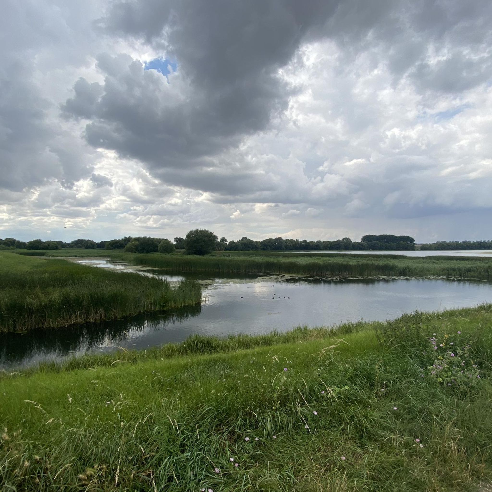
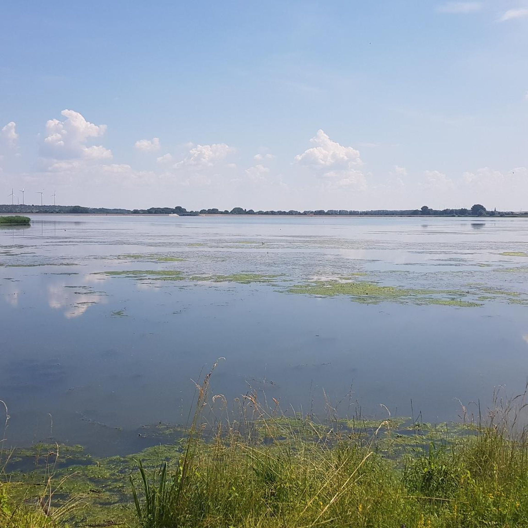
Hiking around Hochwasserrückhaltebecken Straußfurt offers diverse natural features within the Sömmerda district of Thuringia. This area is centered around an expansive flood retention basin, which also functions as a valuable natural habitat. The landscape includes the reservoir's waters, the Unstrut river, and an earth dam, providing varied terrain for exploration. The region is known for its rich flora and fauna, serving as a resting place for migratory birds, enhancing wildlife observation opportunities for hikers.
Best hiking trails around Hochwasserrückhaltebecken Straußfurt
…Last updated: July 10, 2026
5
hikers
Easy hike. Great for any fitness level. Easily-accessible paths. Suitable for all skill levels.
5.0
(1)
5
hikers
Easy hike. Great for any fitness level. Easily-accessible paths. Suitable for all skill levels.

Sign up for free
5.0
(2)
2
hikers
7.94km
02:00
10m
10m
Moderate hike. Good fitness required. Easily-accessible paths. Suitable for all skill levels.
4.8
(4)
13
hikers
Moderate hike. Good fitness required. Easily-accessible paths. Suitable for all skill levels.
4.4
(10)
12
hikers
5.89km
01:30
10m
10m
Easy hike. Great for any fitness level. Easily-accessible paths. Suitable for all skill levels.
Get access to more routes and recommendations from other explorers.
Sign up for free
Already have an account?
Our route recommendations are based on thousands of hikes, rides, and runs completed by other people on komoot.
Start today with a free account
Your next adventure awaits.
Login or Signup

Tips from the Community

from time to time a bridge is helpful
0
0
Rest stops can be recommended
1
0

good place to launch boats and kayaks into the Unstrut.
2
0

This covered rest area is located directly on the Unstrut and offers some protection even in the sun and rain.
2
0

Lots of interesting information, not only about the Straussfurt retention basin.
1
0

The church and Marienkapelle are usually open daily from 9 a.m. to around 6 p.m. and can be visited.
2
0
An unmarked, partially paved circular path leads around the retention basin, unfortunately the weir at the top of the dam is closed and you cannot walk the entire circuit on the dam wall.
0
0

... also offers an entry point into the Unstrut.
0
0
Frequently Asked Questions
How many hiking trails are available around Hochwasserrückhaltebecken Straußfurt?
There are over 180 hiking trails around Hochwasserrückhaltebecken Straußfurt. The majority, more than 110, are considered easy, with a good selection of moderate routes and a few more challenging options.
What kind of terrain can I expect on the hiking trails?
The trails around Hochwasserrückhaltebecken Straußfurt feature varied terrain, including paths alongside the tranquil waters of the reservoir, routes following the Unstrut river, and areas rich in flora and fauna. You'll find gentle gradients suitable for leisurely walks, with some routes incorporating structural features like the main dam.
Are there any family-friendly hiking routes?
Yes, many of the trails are suitable for families. For instance, the Fish restaurant – Bridge Over the Schmale Gera loop from Straußfurt is an easy 4.2 km path with gentle gradients, perfect for a family outing. The area's flat terrain and scenic views make it enjoyable for all ages.
Can I bring my dog on the hiking trails?
Yes, the area is generally dog-friendly. Many local hikers enjoy walking their dogs here, such as on the Morning Dog Walk loop from Henschleben, a 6.2 km trail that takes you through natural surroundings. Always ensure your dog is under control and respect local wildlife.
What natural features or landmarks can I see while hiking?
While hiking, you can observe the expansive reservoir itself, the prominent earth dam, and the course of the Unstrut river. The area is also known for its rich flora and fauna, serving as a significant resting place for migratory and water birds, offering excellent birdwatching opportunities. Notable landmarks include the Dam at the retention basin between Vehra and Henschleben and the Straußfurt Reservoir Weir.
Are there circular hiking routes available?
Yes, there are several circular routes. A popular option is the Straußfurt Retention Basin – Straußfurt Reservoir Weir loop from Straußfurt, which is 3.5 km long and offers views of the reservoir. Another is the Hiking loop from Henschleben, a moderate 7.9 km trail.
What is the best time of year to go hiking in this region?
The Hochwasserrückhaltebecken Straußfurt is enjoyable for hiking throughout much of the year. Spring and autumn are particularly pleasant for observing migratory birds and enjoying the changing foliage. Summer offers warm weather for walks around the reservoir, while winter can provide a serene, quiet experience, though some paths might be less accessible depending on conditions.
What do other hikers enjoy most about the trails here?
The area is highly rated by the komoot community, with an average score of 4.6 stars from over 370 reviews. Hikers often praise the tranquil waters of the reservoir, the opportunities for wildlife observation, and the well-maintained paths that cater to various fitness levels, making it a peaceful escape into nature.
Is there parking available for hikers?
While specific parking areas are not detailed in every route description, the starting points for many trails, such as those from Straußfurt or Henschleben, typically offer parking options nearby for visitors looking to explore the reservoir and its surroundings.
Are there any longer, more challenging hikes?
While most routes are easy to moderate, there are options for longer excursions. For example, the Bridge Over the Schmale Gera – Unstrut Bridge Wundersleben loop from Straußfurt is a moderate 11.6 km trail that provides a more extended exploration of the area's natural beauty.
What kind of wildlife can I expect to see?
The Hochwasserrückhaltebecken Straußfurt is a significant natural habitat, especially known as a resting place for numerous migratory and water birds. Birdwatching is a popular activity, and you may also encounter other local wildlife in the diverse natural environment surrounding the reservoir and the Unstrut river.
Most popular routes around Hochwasserrückhaltebecken Straußfurt
Most popular attractions around Hochwasserrückhaltebecken Straußfurt

Get inspired with the komoot mobile app


Explore more
Browse the best Hikes in other regions.
