The best walks and hikes around Dam Schönbrunn
4.5
(8669)
29,937
hikers
853
hikes
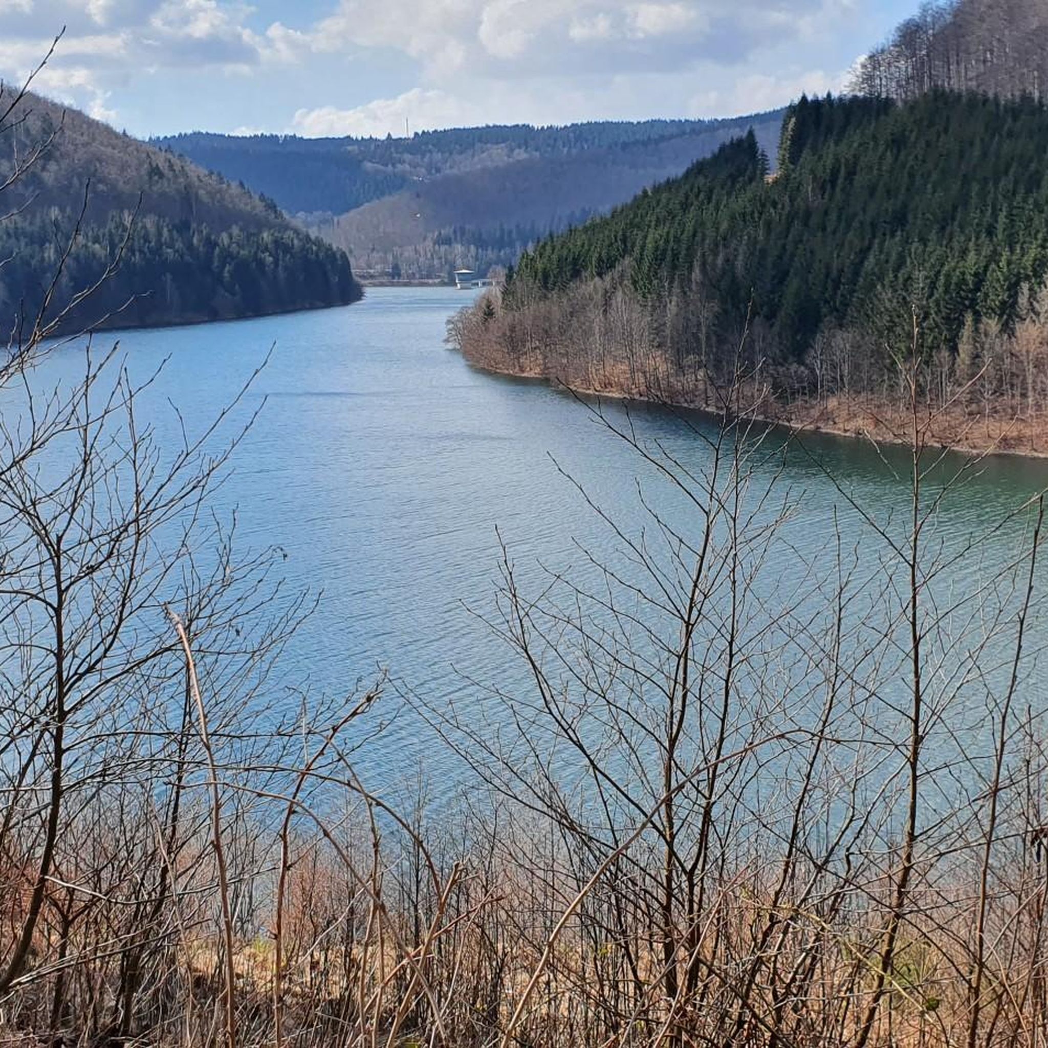
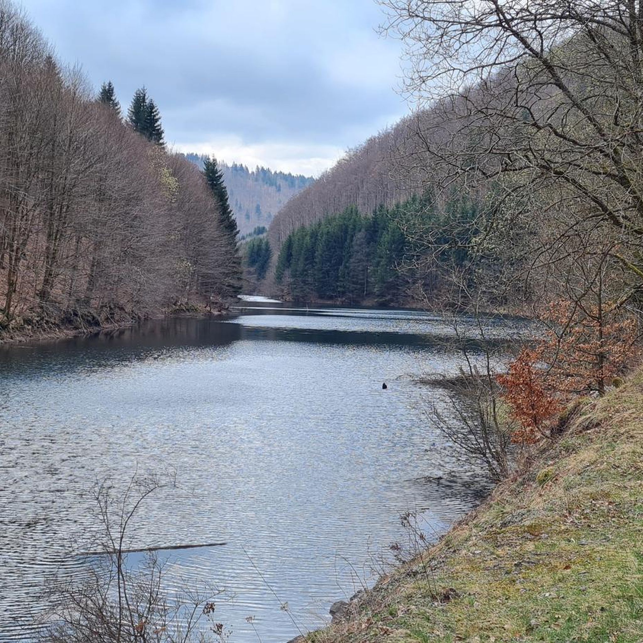
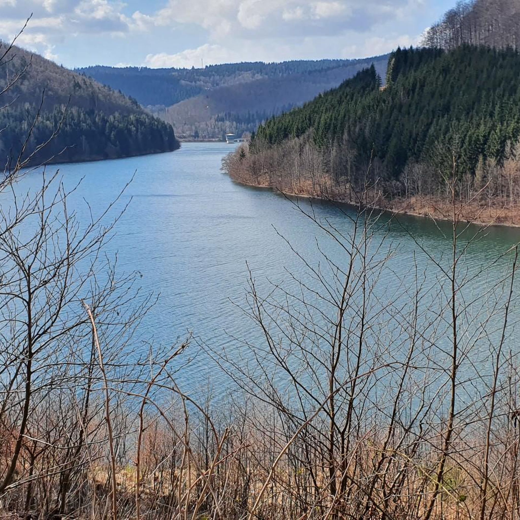
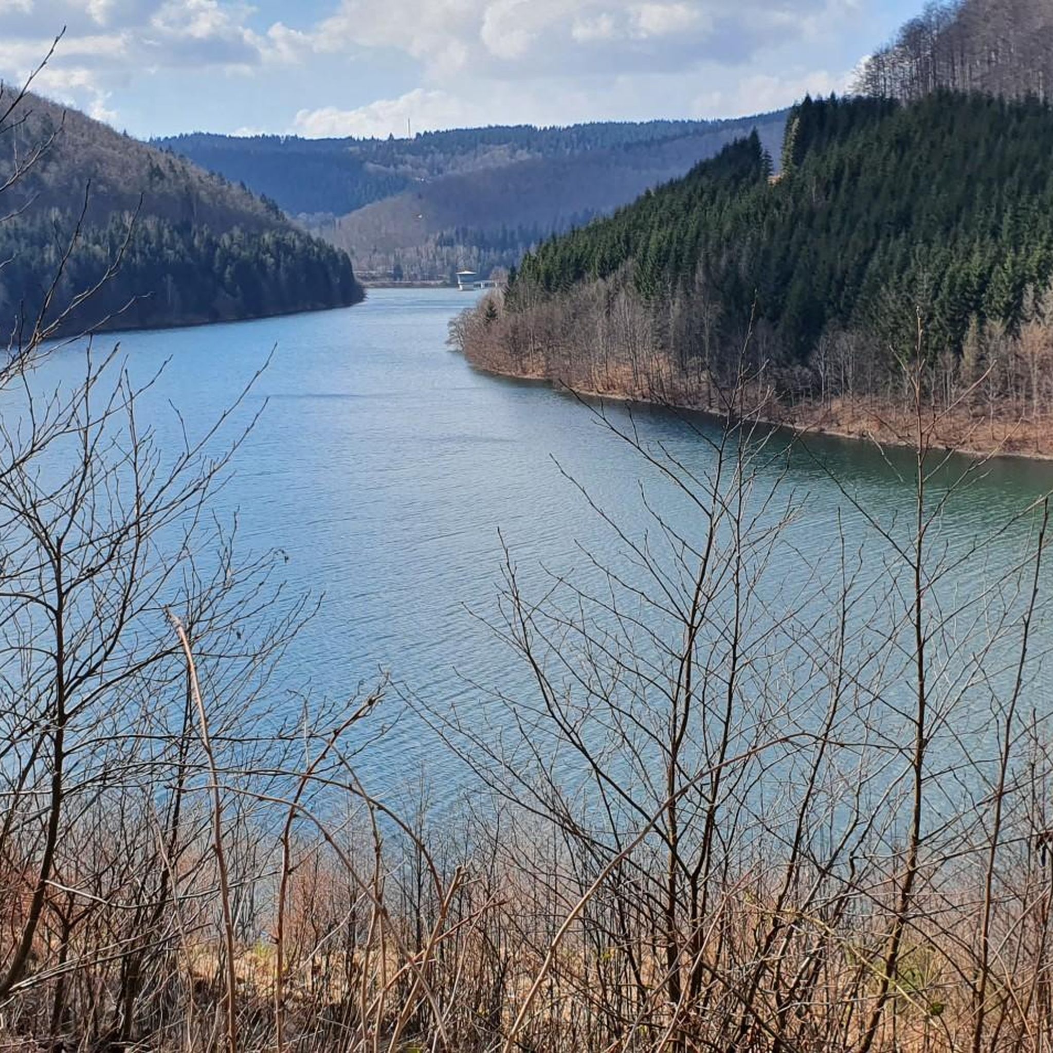
Hiking around Dam Schönbrunn offers diverse trails within the Thuringian Forest. The region is characterized by the central Schönbrunn Dam, surrounded by extensive beech and spruce forests. Hikers can explore wild romantic side valleys and traverse lush mountain meadows, providing varied scenery.
Best hiking trails around Dam Schönbrunn
- The most popular hiking route is View of the Schönbrunn Reservoir – Schönbrunn Reservoir loop from Schleusegrund, an easy 4.3 miles (6.9 km) trail that takes 1 hour 59 minutes to…
Last updated: June 25, 2026
3.9
(37)
166
hikers
Easy hike. Great for any fitness level. Easily-accessible paths. Suitable for all skill levels.
4.7
(7)
34
hikers
Moderate hike. Good fitness required. Easily-accessible paths. Suitable for all skill levels.

Sign up for free
4.7
(11)
36
hikers
Moderate hike. Good fitness required. Easily-accessible paths. Suitable for all skill levels.
4.7
(7)
31
hikers
12.1km
03:24
240m
240m
Moderate hike. Good fitness required. Easily-accessible paths. Suitable for all skill levels.
4.5
(8)
43
hikers
16.0km
05:00
520m
520m
Hard hike. Very good fitness required. Mostly accessible paths. Sure-footedness required.
Get access to more routes and recommendations from other explorers.
Sign up for free
Already have an account?
Our route recommendations are based on thousands of hikes, rides, and runs completed by other people on komoot.
Start today with a free account
Your next adventure awaits.
Login or Signup

Tips from the Community

Magnificent valley with a meadow blooming beautifully in June.
0
0


happily splashing with refreshing water
0
0

Fore-dam of the Schönbrunn drinking water reservoir 🙂
0
0

Circumnavigation of the dam, well developed.
2
0

The Thuringian Forest is simply stunningly beautiful 😊.
0
0

Frequently Asked Questions
How many hiking trails are available around Dam Schönbrunn?
The Dam Schönbrunn area offers a vast network of nearly 900 hiking trails. These routes cater to all levels, with over 330 easy trails, more than 450 moderate options, and around 70 challenging hikes for experienced trekkers.
Are there any easy circular routes suitable for families or beginners?
Yes, the region is well-suited for families and beginners, particularly with its flat circular walks along the reservoir. An excellent easy option is the Schönbrunn Reservoir – View of the Schönbrunn Reservoir loop from Schleusegrund, which is about 3.9 miles (6.3 km) long and offers pleasant views of the water and surrounding forests.
What kind of landscapes can I expect to see while hiking near Dam Schönbrunn?
Hikers around Dam Schönbrunn will experience diverse landscapes. The central feature is the dam itself, offering impressive views of the reservoir. You'll traverse extensive beech and spruce forests of the Thuringian Forest, discover wild romantic side valleys, and encounter lush mountain meadows. Some viewpoints even offer distant views stretching into the Ore Mountains.
Are there any specific viewpoints or attractions along the trails?
Absolutely. The region boasts several scenic viewpoints. You can find impressive perspectives of the dam and its surroundings, such as the View of the Schönbrunn Dam control building or the View from Vorsperre Schleusegrund towards Schönbrunn Dam. The Schönbrunn Reservoir itself is a prominent attraction, with paths directly along its shore.
What do other hikers say about the trails in Dam Schönbrunn?
The trails around Dam Schönbrunn are highly regarded by the komoot community, holding an average rating of 4.5 stars from over 8,300 reviews. Hikers frequently praise the diverse scenery, the well-maintained paths, and the variety of routes suitable for different fitness levels. Many appreciate the combination of forest paths and reservoir views.
Are there any longer or more challenging hikes for experienced hikers?
Yes, for those seeking a greater challenge, there are several longer routes. An example is the Schönbrunn Reservoir – Schönbrunn Reservoir loop from Schleusegrund, an 11.6 miles (18.6 km) trail that leads through varied and sometimes demanding terrain, typically taking over 5 hours to complete. This route offers a more strenuous experience within the Thuringian Forest.
Can I find trails that offer panoramic views of the region?
Yes, many trails provide excellent panoramic views. The View of the Schönbrunn Reservoir – Panorama Loop loop from Schleusegrund is a moderate 7.7-mile (12.4 km) path specifically designed to showcase various viewing highlights, including distant vistas of the dam and the wider Thuringian Forest landscape.
Are there any themed trails or historical paths in the area?
The region integrates with historic paths, offering a deeper connection to the area's heritage. Some trails connect to the broader Luther Trail and the Rennsteig Ladder Schönbrunn. Additionally, the Dr. Wald Trail is a notable highlight that offers a unique experience.
What is the best time of year to go hiking around Dam Schönbrunn?
The Thuringian Forest, where Dam Schönbrunn is located, offers beautiful hiking opportunities throughout the year. Spring brings lush greenery and blooming meadows, while summer provides pleasant temperatures for forest walks. Autumn transforms the landscape with vibrant foliage, and even winter offers serene, snow-covered trails, though some paths might require appropriate gear.
Are there options for moderate-difficulty hikes?
Certainly. The area has over 450 moderate trails. A popular choice is the Schönbrunn Reservoir – Schönbrunn Reservoir loop from Schleusegrund, a 6.4-mile (10.3 km) route that provides a good balance of distance and elevation, allowing you to explore more of the forest and reservoir surroundings without being overly strenuous.
What natural features, besides the dam, are prominent in the area?
Beyond the impressive Schönbrunn Dam, the region is characterized by the dense Thuringian Forest, composed mainly of beech and spruce trees. You'll also encounter charming wild romantic side valleys, particularly along routes originating from Neustadt am Rennsteig, and lush mountain meadows. Small streams like the Gritzbach and Heidelbach are also part of the natural environment.
Most popular routes around Dam Schönbrunn
Most popular attractions around Dam Schönbrunn

Get inspired with the komoot mobile app


Explore more
Browse the best Hikes in other regions.
