The best walks and hikes around Dam Lakebach
4.6
(7941)
26,432
hikers
558
hikes
Hiking around Dam Lakebach offers a diverse landscape characterized by the dam's reservoir, surrounding woodlands, and open fields. The region features gentle elevation changes, making many routes accessible. Trails often connect natural areas with historical sites, such as the Opfermoor Archaeological Site, and pass by the Säuerner Seebach Dam. The terrain is generally mild, suitable for various hiking abilities.
Best hiking trails around Dam Lakebach
- The most popular hiking route is Opfermoor Vogtei Entrance – Opfermoor Archaeological Site loop from…
Last updated: July 5, 2026
3.9
(9)
33
hikers
Easy hike. Great for any fitness level. Easily-accessible paths. Suitable for all skill levels.
4.0
(3)
24
hikers
Moderate hike. Good fitness required. Easily-accessible paths. Suitable for all skill levels.

Sign up for free
3.8
(6)
12
hikers
Easy hike. Great for any fitness level. Easily-accessible paths. Suitable for all skill levels.
18
hikers
Easy hike. Great for any fitness level. Easily-accessible paths. Suitable for all skill levels.
5.0
(1)
3
hikers
7.70km
02:01
60m
60m
Moderate hike. Good fitness required. Easily-accessible paths. Suitable for all skill levels.
Get access to more routes and recommendations from other explorers.
Sign up for free
Already have an account?
Our route recommendations are based on thousands of hikes, rides, and runs completed by other people on komoot.
Start today with a free account
Your next adventure awaits.
Login or Signup

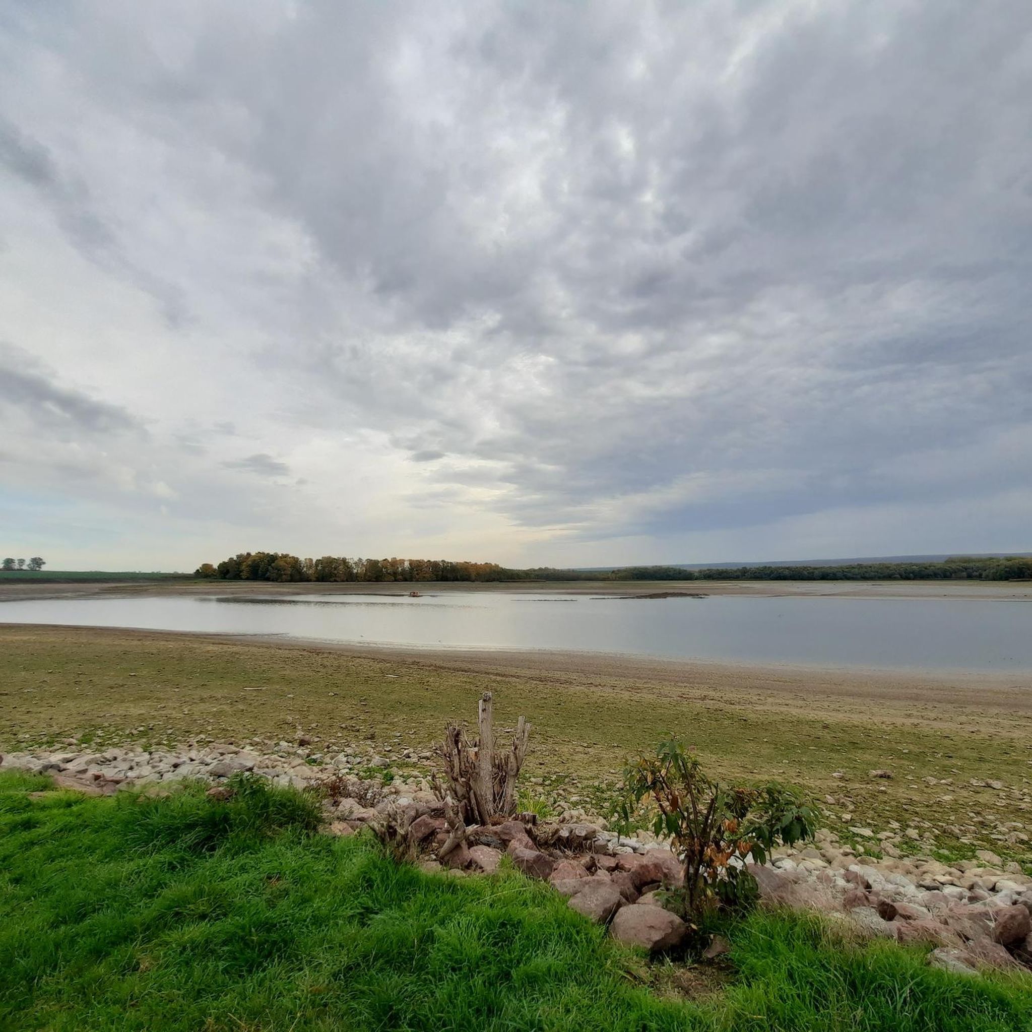
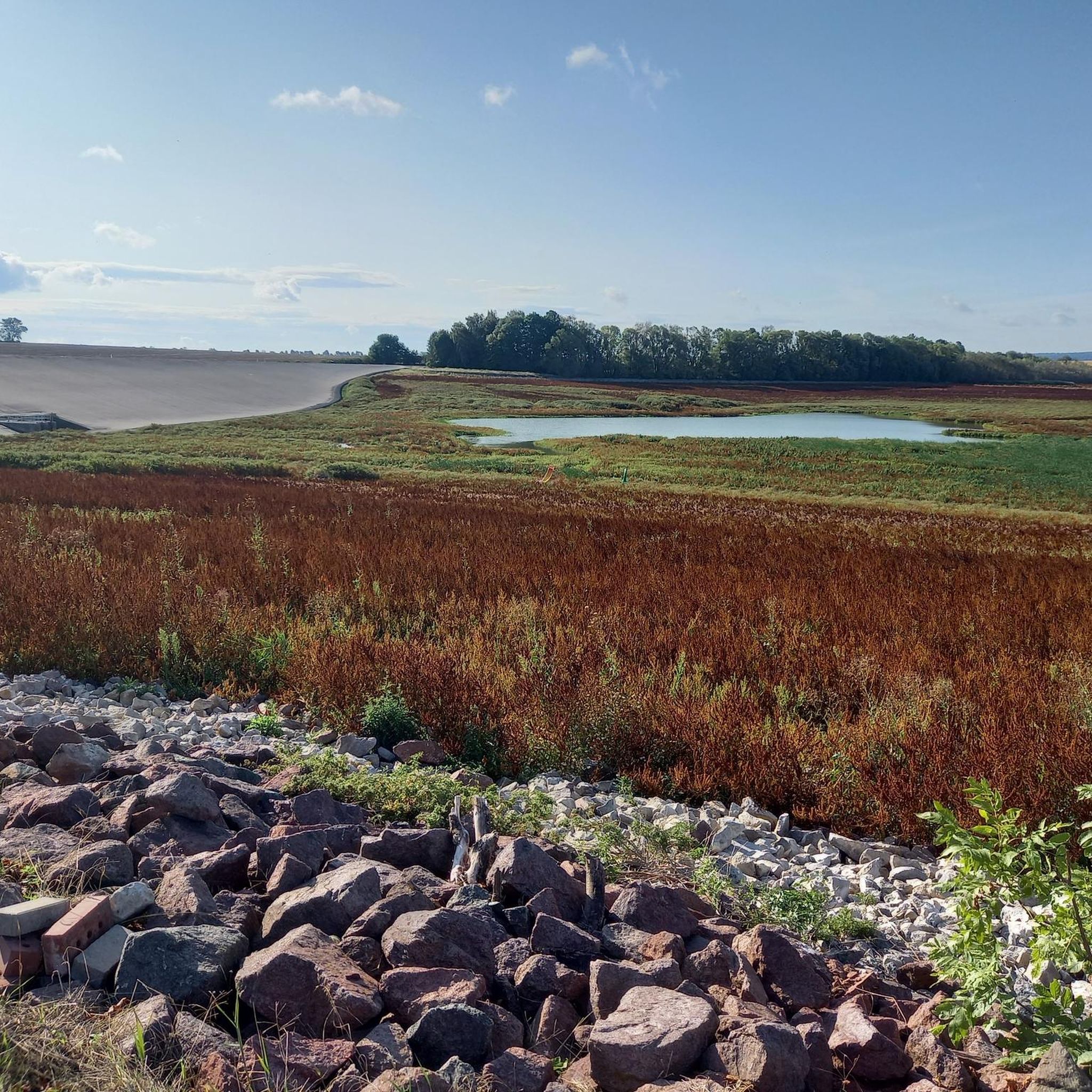
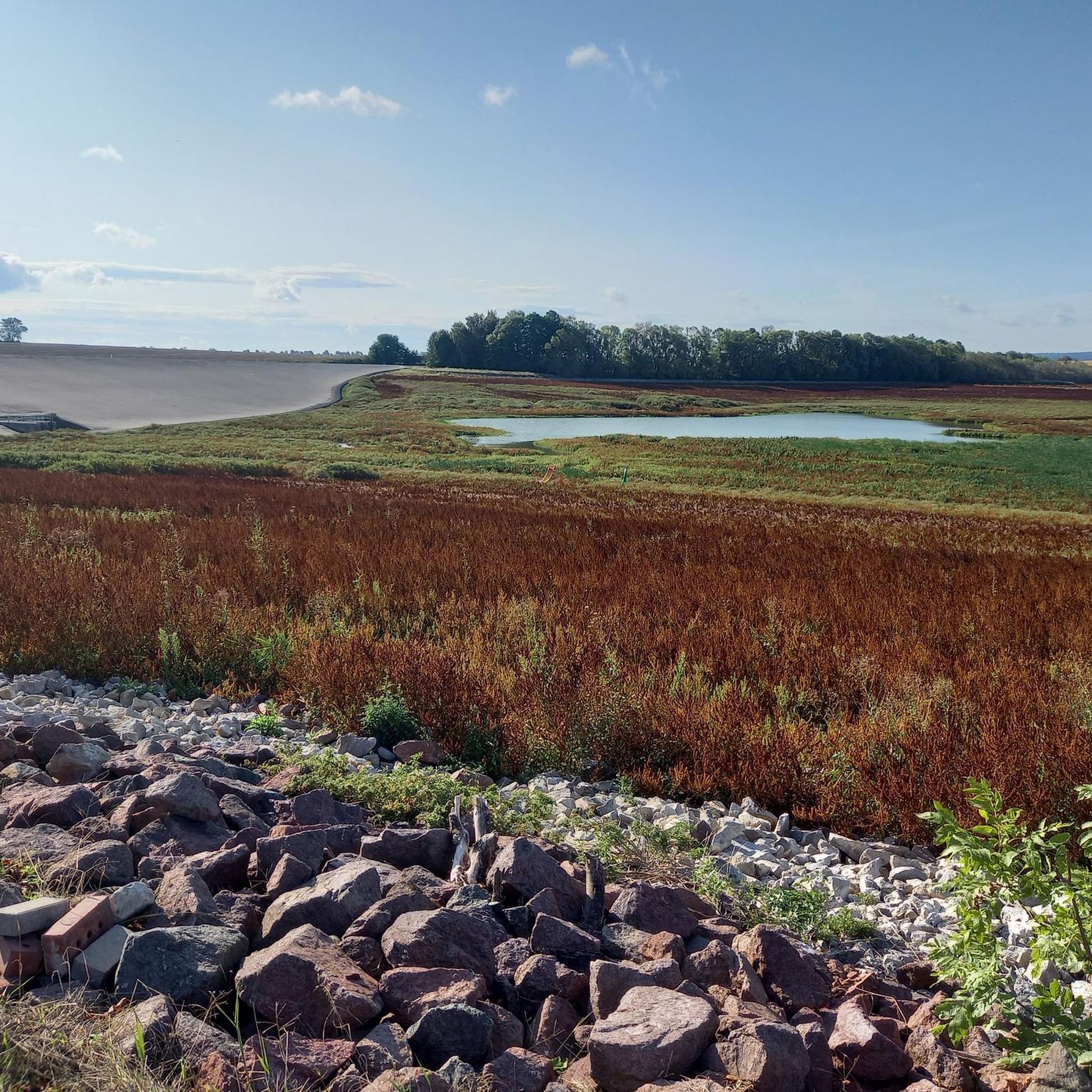

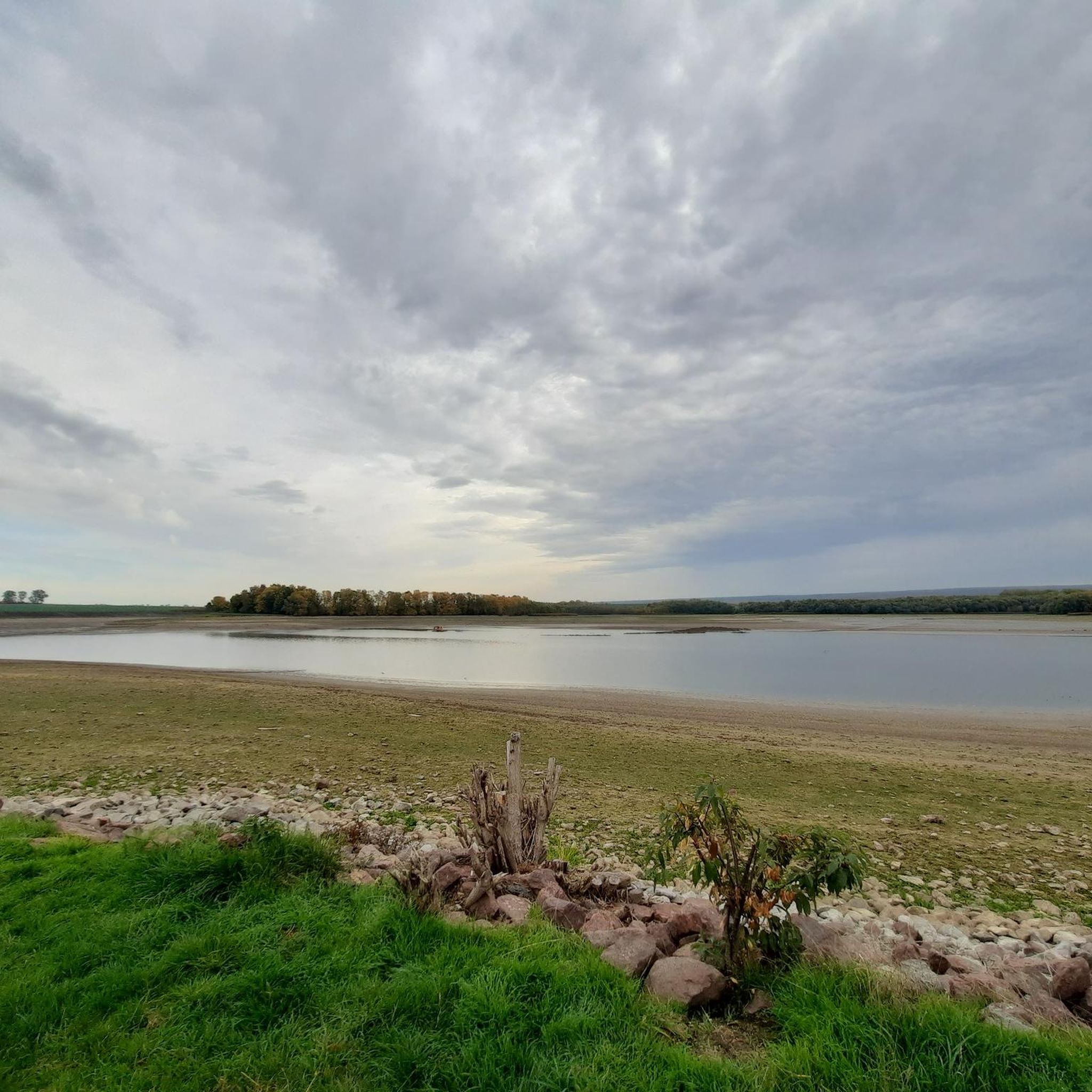
Other adventures around Dam Lakebach

Tips from the Community

Buy your entry chip during the day and enjoy it all in the evening
0
0

Since the circular path around the dam runs directly along the road, this rest area is a good alternative for a short break.
0
0


A grassy path with beautiful views of the lake leads along the Sacrificial Moor. With a little luck, you can spot swans, great crested grebes, coots, and, along the shoreline, numerous dragonflies.
0
0

Click here to go to the open-air museum.
1
0

Since 1947, peat has been mined in the Rieth between Oberdorla and Niederdorla. Animal bones and shards have been found time and again. However, when a bison skull, a wooden bowl and parts of a wooden idol were discovered in 1957, the staff of the Museum of Prehistory and Early History in Weimar were informed. It soon became clear that these were not the remains of a settlement, but an ancient cult site.
0
0

There are different methods for determining the center of Germany. "If you balance an area of any size the shape of Germany, you will find this center. This experimental method is very clear because it is quite simple and can be tried out by almost anyone. Only geodesists and cartographers might be skeptical about the test because it involves cutting up a topographic map. It is glued to a solid base (e.g. cardboard) and cut out precisely along the country's border. The model is moved on a sharp needle until it is exactly balanced and aligned horizontally. This approximately determined center of gravity can be interpreted as the geographical center of Germany. The approach assumes that Germany is a flat surface." The point is not marked in any way on site. Source and further information: https://de.wikipedia.org/wiki/Mittelpunkte_Deutschlands
1
0

As of July 2024: As a guest of the beach bar, you can swim for free at the campsite's official bathing area without being a campsite customer. There is a small jetty. There are many underwater plants in the shore area; if that doesn't bother you, you can refresh yourself in the reservoir and then enjoy chips and a cold drink at the beach bar.
2
0
Frequently Asked Questions
How many hiking trails are available around Dam Lakebach?
The Dam Lakebach region offers a wide variety of hiking opportunities, with over 570 trails recorded on komoot. This includes routes of varying lengths and difficulties, ensuring there's something for every hiker.
Are there easy hiking trails suitable for beginners or families?
Yes, Dam Lakebach is well-suited for easy hikes, with over 360 routes classified as easy. Many trails feature gentle elevation changes, making them ideal for families or those seeking a relaxed stroll. A great option is the Opfermoor Vogtei Entrance – Opfermoor Archaeological Site loop from Niederdorla, which is 4.2 miles (6.8 km) and takes about 1 hour 45 minutes.
What kind of scenery and attractions can I expect to see along the trails?
Hiking around Dam Lakebach offers diverse scenery, including views of the reservoir, woodlands, and open fields. You can explore historical sites like the Opfermoor Archaeological Site, and enjoy vistas of the Säuerner Seebach Dam. The region's trails often connect natural beauty with points of interest, providing a rich experience.
Are there circular hiking routes around Dam Lakebach?
Yes, many of the trails around Dam Lakebach are circular, allowing you to start and end at the same point. For example, the Säuerner Seebach Dam – View of the Seebach Dam loop from Niederdorla is a moderate 8.4-mile (13.5 km) circular path offering great views of the dam.
Can I bring my dog on the hiking trails?
Generally, dogs are welcome on most hiking trails around Dam Lakebach. It's always advisable to keep them on a leash, especially in nature protection areas or near wildlife, and to respect local regulations. Remember to bring water for your pet and clean up after them.
What is the typical duration of hikes in this region?
Hikes around Dam Lakebach vary significantly in duration. Many popular routes, like the Palumpa-Land Campsite – View of the Seebach Dam loop from Niederdorla, can be completed in under 2 hours. Longer, moderate trails might take 3-4 hours, while shorter strolls are also plentiful.
Is there public transport access to the hiking trails?
Public transport options to reach the Dam Lakebach area exist, though their frequency might vary. It's recommended to check local bus schedules for connections to towns like Niederdorla or Oppershausen, which serve as starting points for many trails. Planning your route in advance with public transport in mind is always a good idea.
Where can I park when hiking around Dam Lakebach?
Designated parking areas are typically available near popular trailheads and points of interest, especially in towns like Niederdorla and Oppershausen. Look for signs indicating hiker parking. If starting from a specific attraction like the Opfermoor Archaeological Site, parking facilities are usually provided.
What is the best time of year to hike around Dam Lakebach?
The Dam Lakebach region is enjoyable for hiking throughout much of the year. Spring brings blooming nature, summer offers warm weather for longer days, and autumn showcases beautiful foliage. Each season provides a unique experience, though spring and autumn are often preferred for their mild temperatures and vibrant scenery.
Are there options for winter hiking around Dam Lakebach?
Yes, winter hiking is possible around Dam Lakebach, offering a tranquil experience with potentially snow-covered landscapes. While many trails remain accessible, some paths might be slippery or less maintained. Always check local conditions and wear appropriate gear for colder weather and potential ice.
Are there any challenging hikes in the area for experienced hikers?
While the region is known for its gentle terrain, there are some moderate trails that offer a bit more challenge, often due to their length rather than steep elevation. For instance, the Historic Half-Timbered Manor loop from Oppershausen is a moderate 7.7 km route that provides a good workout.
What do other hikers say about the trails in Dam Lakebach?
The trails around Dam Lakebach are highly regarded by the komoot community, boasting an average rating of 4.7 stars from over 7,400 reviews. Hikers frequently praise the well-maintained paths, the scenic views of the dam, and the peaceful atmosphere of the woodlands and historical sites.
Most popular routes around Dam Lakebach
Most popular attractions around Dam Lakebach

Get inspired with the komoot mobile app


Explore more
Browse the best Hikes in other regions.
