The best walks and hikes around Froschgrundsee
4.7
(2669)
10,040
hikers
692
hikes
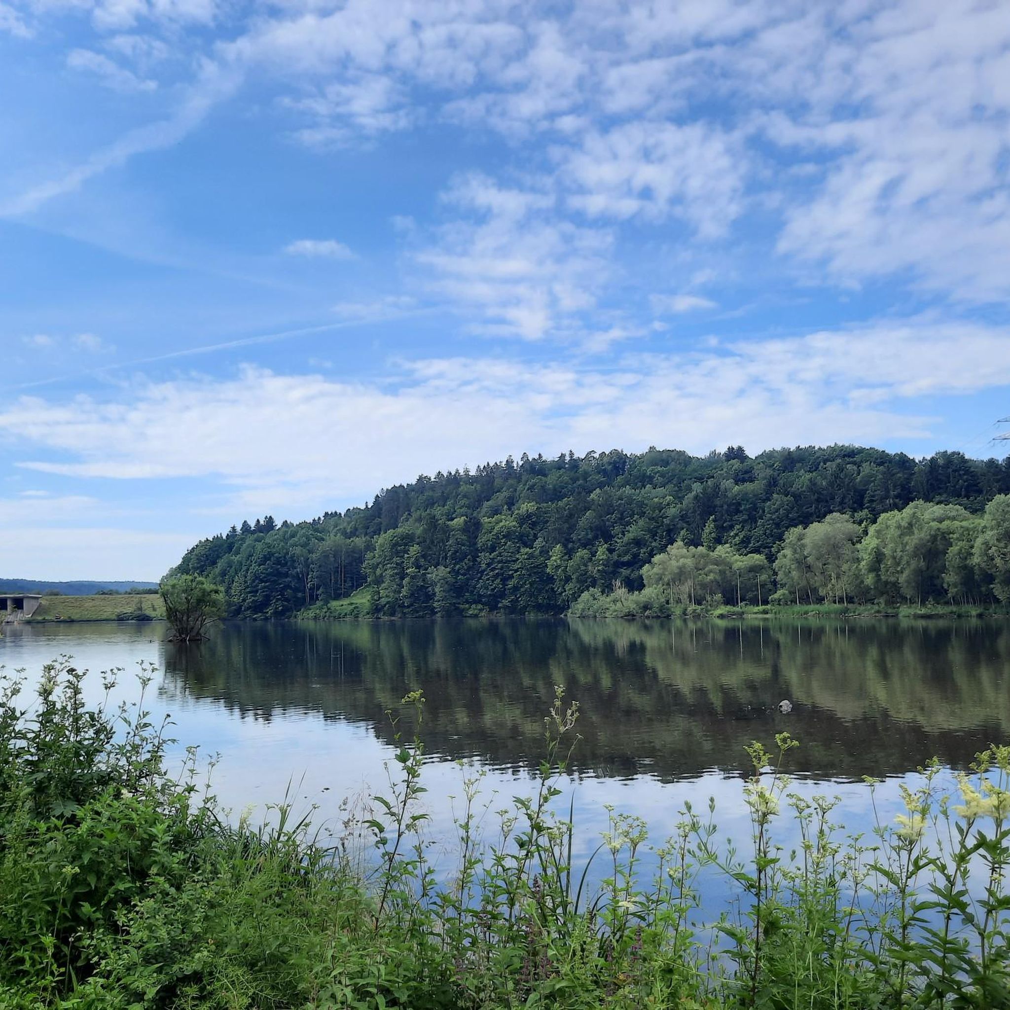
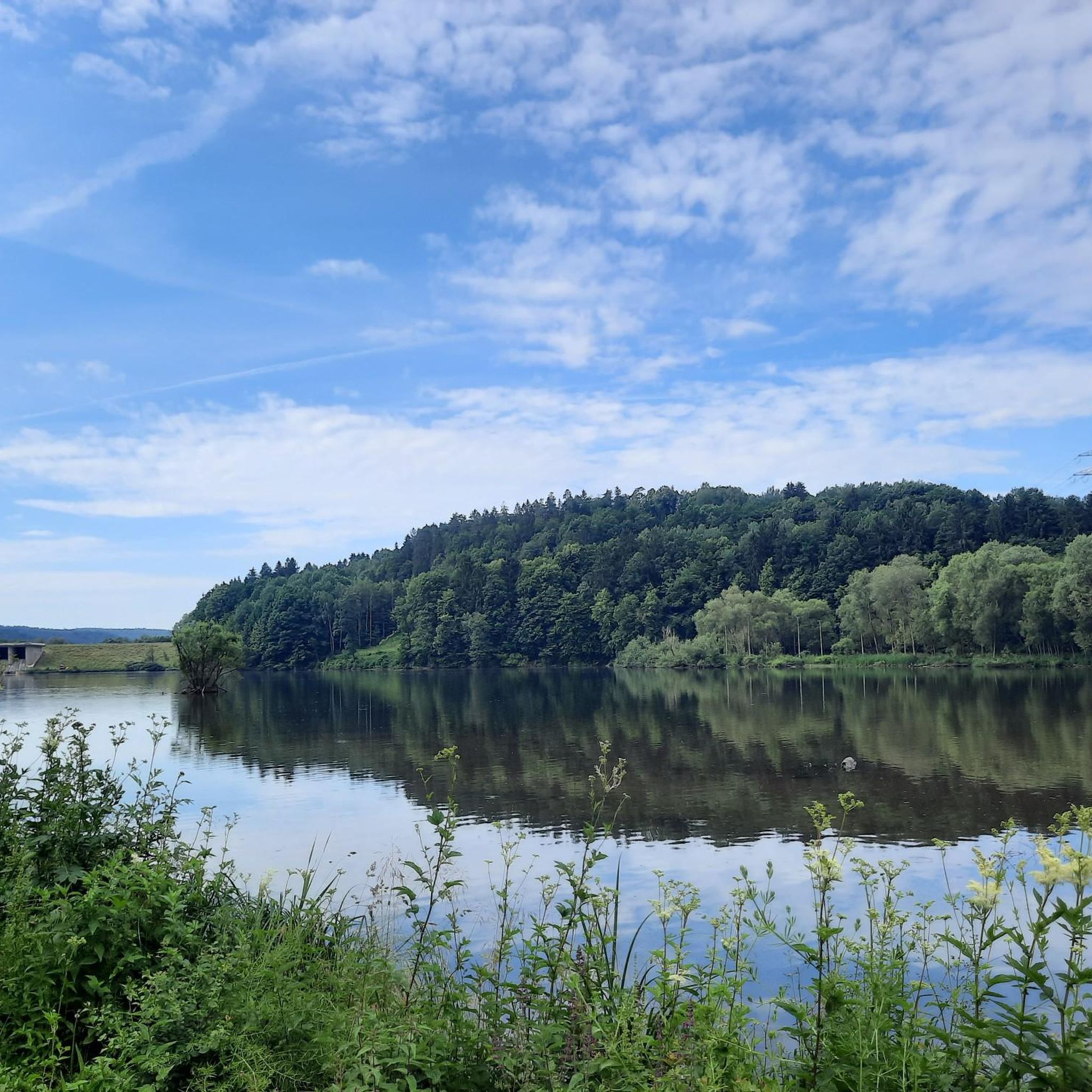
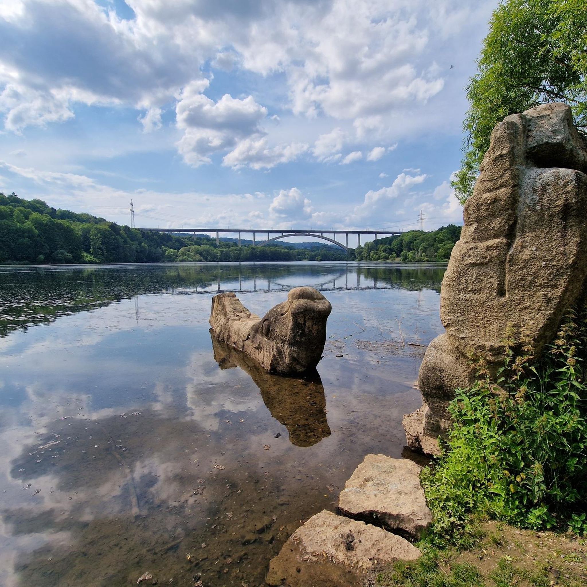
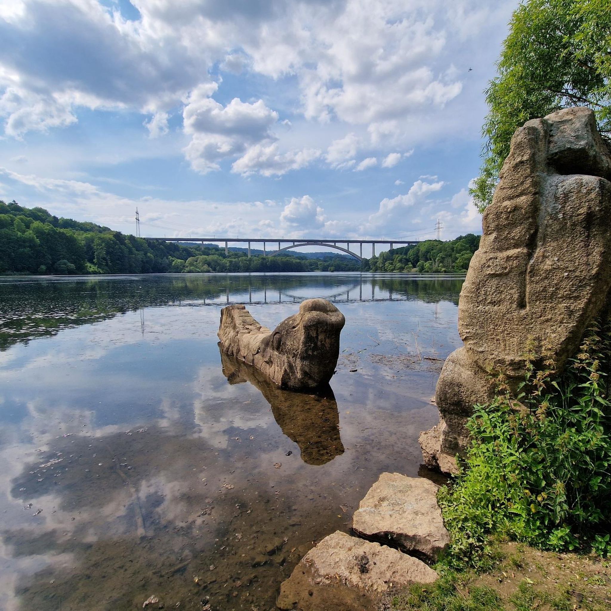
Hiking around Froschgrundsee is characterized by its tranquil surroundings, centered on an artificial reservoir in Rödental, Germany. The area features lush greenery, surrounding forests, and the Effeldertal Nature Reserve. Hikers can explore trails offering views of the lake and the prominent Froschgrundsee Viaduct, Europe's longest railway arch bridge. The landscape provides a blend of natural serenity and notable man-made structures.
Best hiking trails around Froschgrundsee
- The most popular hiking route is Froschgrundsee Bridge – Froschgrundsee ICE Bridge loop from Effeldertal, an easy 2.0 miles (3.2 km) trail that takes 52 minutes to complete, offering views of the impressive viaduct.
- Another top favourite among local hikers is Weißenbrunn vorm Wald – View of Thuringia loop from Itztal und Effeldertal bei Weißenbrunn vorm Wald, an easy 4.2 miles (6.7 km) path. This route winds through the scenic Itztal and Effeldertal, providing varied forest and valley views.
- Local hikers also love the Froschgrundsee ICE Bridge – Froschgrundsee Bridge loop from Effeldertal, a 3.9 miles (6.3 km) trail leading through the Effeldertal, often completed in about 1 hour 42 minutes.
- Hiking around Froschgrundsee is defined by its serene lake, dense woodlands, and the striking Froschgrundsee Viaduct. The network offers options for easy, moderate, and difficult routes, catering to various ability levels.
- The routes in Froschgrundsee are highly rated by the komoot community with an average score of 4.7 stars from over 2,600 reviews. More than 10,000 hikers have used komoot to explore Froschgrundsee's varied terrain.
Last updated: May 15, 2026
4.7
(80)
376
hikers
Easy hike. Great for any fitness level. Easily-accessible paths. Suitable for all skill levels.
4.3
(12)
37
hikers
Easy hike. Great for any fitness level. Easily-accessible paths. Suitable for all skill levels.

Sign up for free
4.8
(16)
49
hikers
Easy hike. Great for any fitness level. Easily-accessible paths. Suitable for all skill levels.
4.7
(74)
337
hikers
Easy hike. Great for any fitness level. Easily-accessible paths. Suitable for all skill levels.
5.0
(3)
20
hikers
Moderate hike. Good fitness required. Easily-accessible paths. Suitable for all skill levels.
Get access to more routes and recommendations from other explorers.
Sign up for free
Already have an account?
Our route recommendations are based on thousands of hikes, rides, and runs completed by other people on komoot.
Start today with a free account
Your next adventure awaits.
Login or Signup

Tips from the Community

Idyllic and invites you to linger for a while
0
0

It's the ideal place to stop for a rest. You can take a break and enjoy the view of the various waterfowl and the truly impressive ICE bridge.
0
0

Always beautiful views of the ICE bridge over the lake
1
0

Covered rest area in the village center with a memorial stone. Beautifully landscaped area directly on the Effelder Stream with a water feature.
1
0

nice to run 👍😉
1
0
Beautifully situated. The special highlight is the arched bridge that spans the lake.
0
0

popular destination for young and old
1
1

Between 2 and 3 the path is completely overgrown and littered with fallen trees. It is also difficult to walk over the border fortifications beforehand because you constantly sink into the holes in the concrete slabs
0
0
Frequently Asked Questions
How many hiking trails are available around Froschgrundsee?
There are over 700 hiking routes available around Froschgrundsee, catering to various skill levels. This includes over 370 easy routes, 300 moderate routes, and nearly 30 difficult trails for experienced hikers.
What kind of natural features can I expect to see while hiking near Froschgrundsee?
Hikers can enjoy lush greenery, serene lake views, and surrounding forests. The area is home to the Effeldertal Nature Reserve, known for its idyllic setting and active beaver population. The lake itself, Froschgrundsee, is an artificial reservoir that has become a peaceful haven for recreation.
Are there any notable landmarks or viewpoints along the trails?
Yes, a prominent landmark is the impressive Froschgrundsee Viaduct, also known as the ICE Bridge, which is Europe's longest railway arch bridge. You can find excellent views of this structure, such as from the View of the Froschgrundsee railway bridge highlight. Other points of interest include the The Fisherman and His Wife Sculpture and the tranquil Northern Shore of Froschgrundsee.
Are there any circular hiking routes around Froschgrundsee?
Yes, many trails are designed as loops. A popular option is the Froschgrundsee Bridge – Froschgrundsee ICE Bridge loop from Effeldertal, an easy 3.2 km route offering views of the viaduct. Another scenic circular path is the Froschgrundsee ICE Bridge – Froschgrundsee Bridge loop from Effeldertal, which covers 6.3 km through the Effeldertal.
What do other hikers say about the trails in Froschgrundsee?
The trails around Froschgrundsee are highly rated by the komoot community, with an average score of 4.7 stars from over 2,600 reviews. Hikers often praise the tranquil surroundings, well-maintained paths, and the blend of natural beauty with impressive man-made structures like the ICE Bridge.
Are there family-friendly hiking options in the area?
Yes, Froschgrundsee offers many easy routes suitable for families. The serene lake and nature reserve provide a pleasant environment for walks with children. Consider shorter, flatter loops that allow for picnicking and birdwatching.
Can I bring my dog on the hiking trails?
Generally, dogs are welcome on most hiking trails around Froschgrundsee. However, it's always advisable to keep them on a leash, especially when passing through nature reserves like the Effeldertal, to protect local wildlife and ensure a pleasant experience for all visitors.
Is there parking available near the hiking trailheads?
Yes, parking facilities are available at various points around Froschgrundsee, particularly near popular trailheads and access points to the lake. These are typically well-marked to accommodate hikers and visitors.
Are there any places to eat or stay near Froschgrundsee?
Yes, a lakeside restaurant offers local dishes with views of the lake. For accommodation and more dining options, the nearby town of Rödental and the historic city of Coburg provide various choices, from hotels to guesthouses.
What is the best time of year to hike around Froschgrundsee?
The area is beautiful year-round, but spring and autumn offer particularly pleasant hiking conditions with mild temperatures and vibrant scenery. Summer is also popular, though trails can be busier. Winter hiking is possible, but check local conditions for snow or ice.
Is swimming allowed in Froschgrundsee?
Currently, swimming is not permitted in Froschgrundsee, primarily due to algae. However, the lake is still excellent for activities like picnicking, birdwatching, and enjoying the scenic views from the shore and trails.
Are there any longer or more challenging routes for experienced hikers?
While many routes are easy to moderate, there are nearly 30 difficult trails for those seeking a greater challenge. For a moderate option, consider the Rest Area at Almerswind – Weißenbrunn vorm Wald loop from Weißenbrunn vorm Wald, which is 8.7 km long and offers varied terrain.
Most popular routes around Froschgrundsee
Most popular attractions around Froschgrundsee

Get inspired with the komoot mobile app


Explore more
Browse the best Hikes in other regions.
