The best road cycling routes around Vorsperre Deesbach
4.7
(29)
556
riders
64
rides
Road cycling around Vorsperre Deesbach is characterized by routes that navigate the region's dam landscapes and river valleys. The area features a mix of rolling hills and more challenging ascents, often following the contours of reservoirs and through forested sections. This terrain provides varied road cycling experiences, from moderate loops to difficult, longer routes with significant elevation gain.
Best road cycling routes around Vorsperre Deesbach
- The most popular road cycling route is View of the Leibis-Lichte Dam – View of…
Last updated: June 26, 2026
3
riders
Moderate road ride. Good fitness required. Mostly well-paved surfaces and easy to ride.
6
riders
142km
06:59
2,160m
2,160m
Hard road ride. Very good fitness required. Mostly well-paved surfaces and easy to ride.

Sign up for free
6
riders
Moderate road ride. Good fitness required. Mostly well-paved surfaces and easy to ride.
4
riders
41.6km
02:02
630m
630m
Moderate road ride. Good fitness required. Mostly well-paved surfaces and easy to ride.
6
riders
109km
05:14
1,370m
1,370m
Hard road ride. Very good fitness required. Some segments of this route may be unpaved and difficult to ride.
Get access to more routes and recommendations from other explorers.
Sign up for free
Already have an account?
Our route recommendations are based on thousands of hikes, rides, and runs completed by other people on komoot.
Start today with a free account
Your next adventure awaits.
Login or Signup
Tips from the Community

Relaxing for young and old and a joy for children
0
0

Rarely seen so many birds of prey at once
2
0

A wonderful valley leading up to the Rennsteig trail. Very pleasant for cycling.
0
0

Quiet side street along the Schwarza.
0
0

Beautiful route at the Hohenwarte
0
0
Beautiful castle on the mountain
0
0


Frequently Asked Questions
How many road cycling routes are available around Vorsperre Deesbach?
There are over 60 road cycling routes in the Vorsperre Deesbach region, offering a diverse range of experiences for cyclists. These routes navigate the area's dam landscapes and river valleys.
Are there any easy road cycling routes in Vorsperre Deesbach?
While the region is known for its rolling hills and more challenging ascents, there are no routes explicitly categorized as 'easy'. However, you'll find 24 moderate routes that offer a balanced experience, such as the View of the Leibis-Lichte Dam – View of the Deesbach Pre-Dam loop from Deesbach, which is 13.0 miles long with moderate elevation.
What kind of terrain can I expect on road cycling routes in Vorsperre Deesbach?
The terrain around Vorsperre Deesbach is characterized by dam reservoirs, river valleys, and forested hills. You can expect a mix of rolling hills and more challenging ascents, often following the contours of the reservoirs and passing through scenic wooded sections.
Are there any long-distance or challenging road cycling routes available?
Yes, the region offers 43 difficult routes for experienced cyclists. A notable challenging option is the Eichicht Dam and Power Station – Hohenwarte Dam loop from Oberweißbach-Deesbach, an extensive 87.9-mile path that connects multiple dams and features significant elevation changes.
What are the best times of year for road cycling in Vorsperre Deesbach?
The best time for road cycling in Vorsperre Deesbach is typically from spring through autumn. During these seasons, the weather is generally more favorable, and the natural landscapes, including the dam views and forested areas, are at their most appealing.
Are there any circular road cycling routes around Vorsperre Deesbach?
Many of the routes in the region are designed as loops, allowing you to start and end at the same point. For example, the View of the Leibis-Lichte Dam – View of Leibis-Lichte Dam loop from Cursdorf is a 18.6-mile circular trail.
What kind of views or attractions can I expect along the road cycling routes?
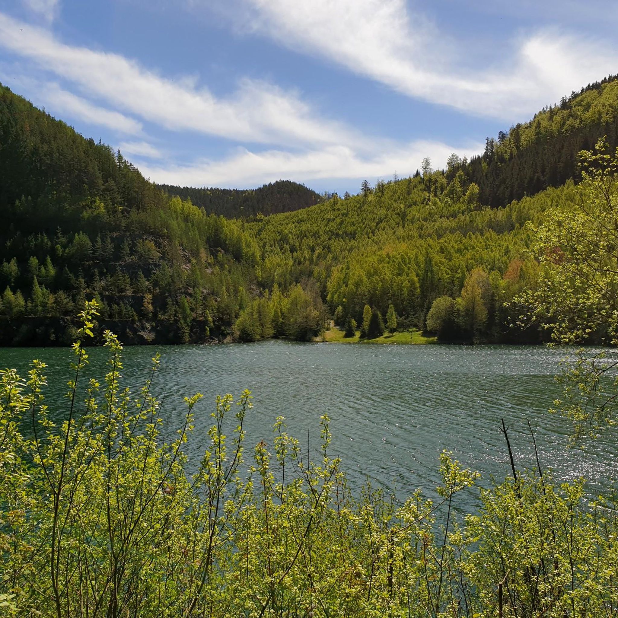
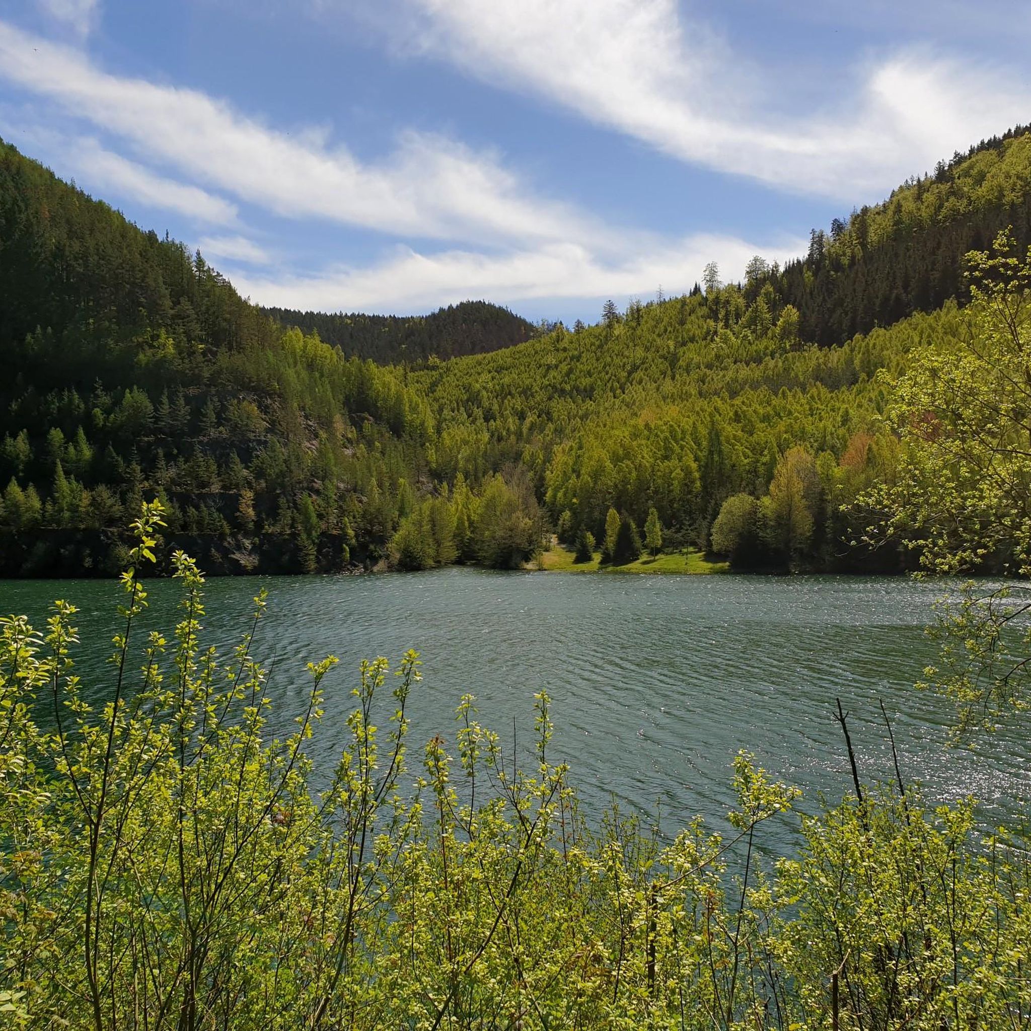
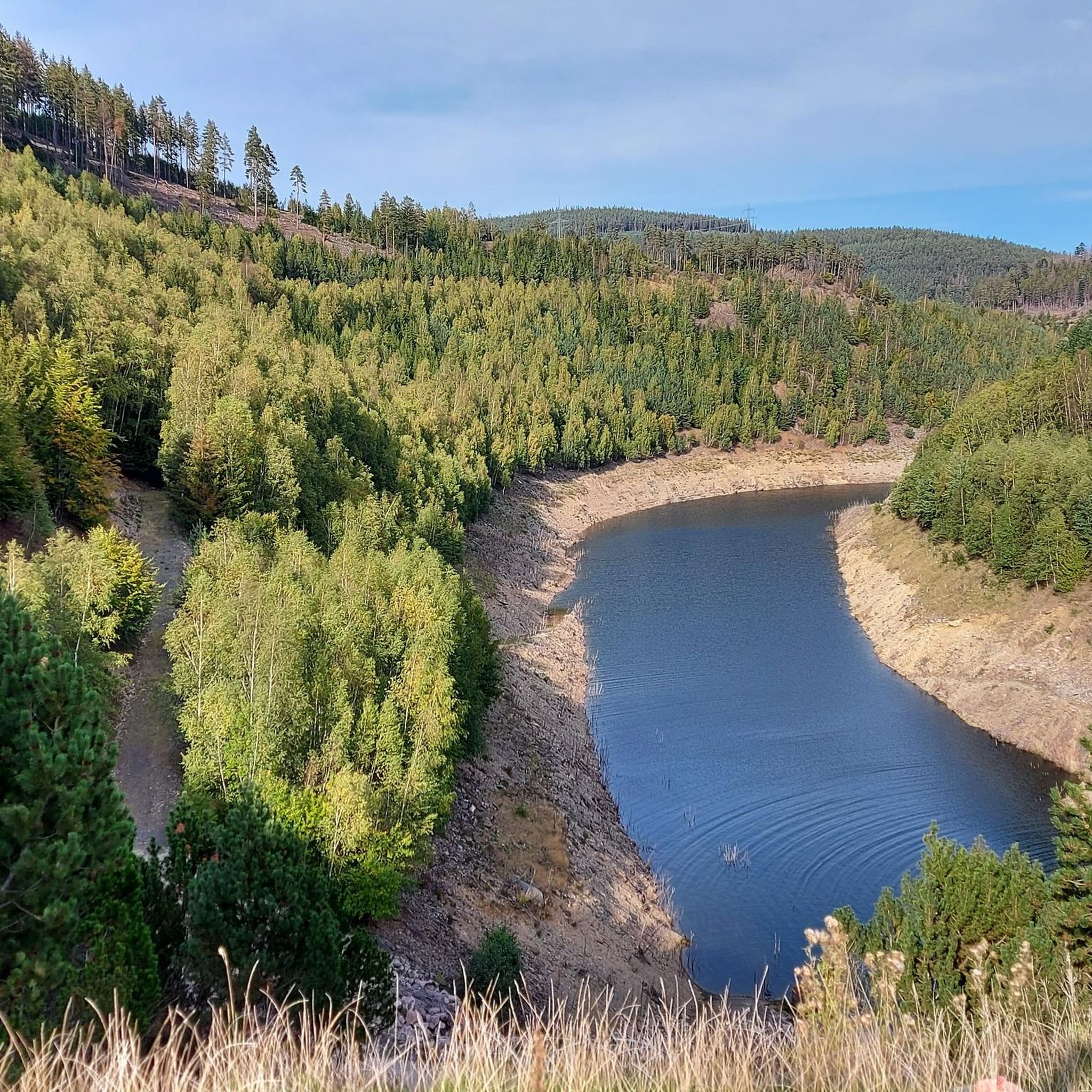
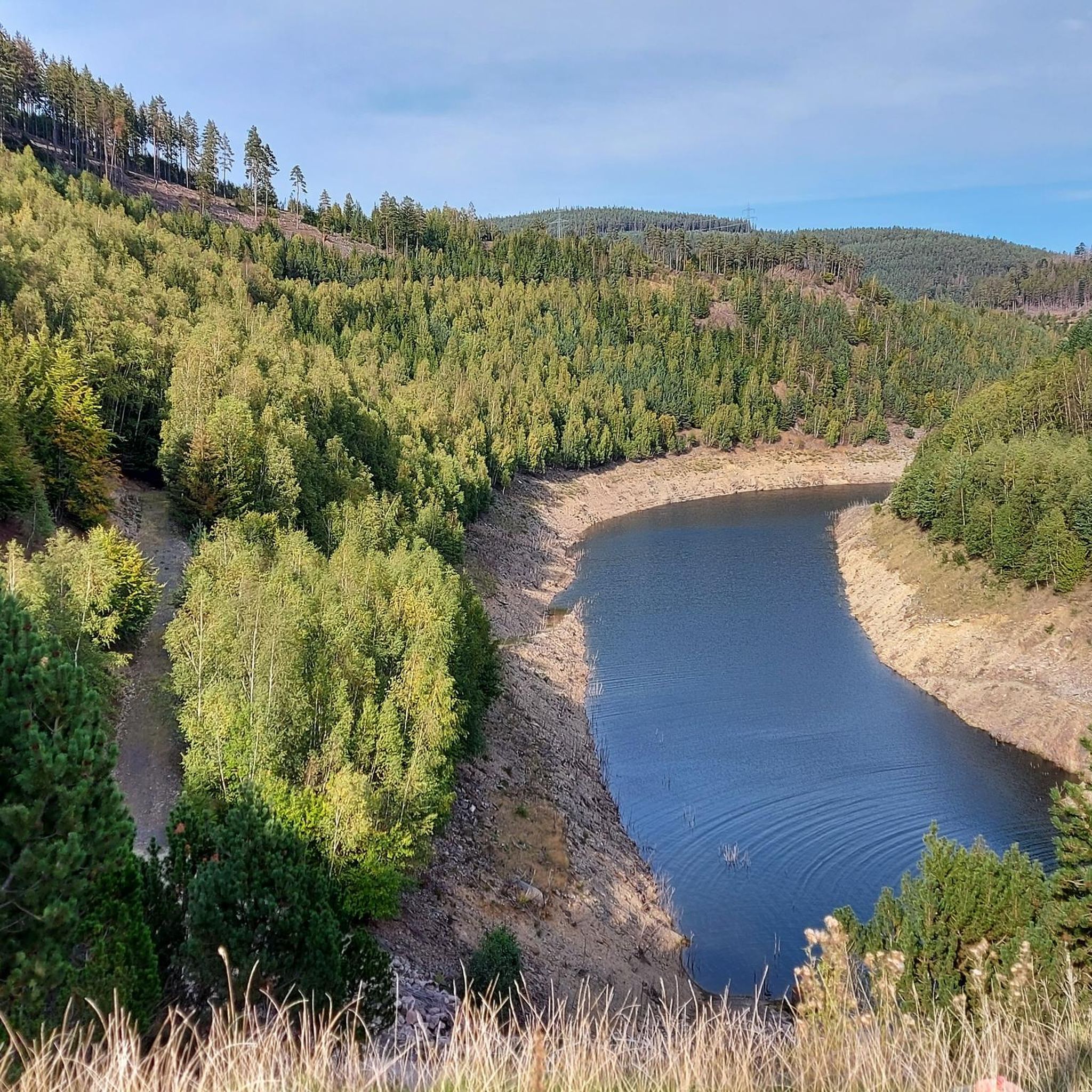
Road cycling routes often feature stunning views of the region's dam landscapes and reservoirs. You can expect to see highlights such as the View of the Deesbach Pre-Dam and the View of the Forebay Dam in Thuringian Forest Nature Park. Many routes also pass through picturesque forested sections.
What do other road cyclists say about the routes in Vorsperre Deesbach?
The road cycling routes in Vorsperre Deesbach are highly rated by the komoot community, with an average score of 4.7 stars from over 20 reviews. Cyclists often praise the varied terrain, the scenic dam views, and the well-maintained paths that offer both moderate and challenging experiences.
Are there any specific viewpoints worth stopping at during a ride?
Absolutely. The region is dotted with scenic overlooks, particularly around the dams. Key viewpoints include the View of the Deesbach Pre-Dam and the View of the Deesbach Forebay, offering excellent spots to pause and enjoy the landscape.
Can I find routes that explore the Schwarzatal Valley?
Yes, some routes extend into the broader regional landscape, including the Schwarzatal Valley. For instance, the Schwarzatal Valley – Bohlenwand (Saalfeld) loop from Obstfelderschmiede is a difficult 109.5-mile route that explores this area.
Are there any routes that connect multiple dams in the region?
Yes, several routes are designed to link the various dam structures. The Eichicht Dam and Power Station – Hohenwarte Dam loop from Oberweißbach-Deesbach is a prime example, offering an extensive tour connecting multiple significant dams.
Most popular routes around Vorsperre Deesbach
Most popular attractions around Vorsperre Deesbach

Get inspired with the komoot mobile app


Explore more
Browse the best Road cycling routes in other regions.
