The best walks and hikes around Chena Ridge
4.0
(10)
83
hikers
28
hikes
Hiking around Chena Ridge explores a landscape near Fairbanks, Alaska, characterized by rolling hills and dense boreal forests of spruce and birch. The clear-flowing Chena River is a central feature, with accessible riverside paths. Higher elevations feature alpine tundra, providing panoramic views of the Alaska Range. This varied terrain offers a range of routes for different hiking abilities.
Best hiking trails around Chena Ridge
- The most popular hiking route is Ballaine Lake Trail, a 4.0 miles (6.4 km) trail that takes about 1 hour 41 minutes to complete. This easy route features lake views and forested paths.
- Another top favourite among local hikers is Skarland Summer 6-Mile Loop, a moderate 5.1 miles (8.2 km) path. This trail offers forested paths and potential wildlife sightings.
- Local hikers also love the Lingonberry Loop, a 0.6 miles (1.0 km) trail leading through forested areas, often completed in about 16 minutes.
- Hiking around Chena Ridge is defined by riverside paths, rolling hills, and dense boreal forests. The trail network offers options for different ability levels, from easy walks to more moderate hikes.
- The routes in Chena Ridge are highly rated by the komoot community with an average score of 4.25 stars from over 10 reviews. More than 60 hikers have used komoot to explore Chena Ridge's varied terrain.
Last updated: October 10, 2026
2
hikers
6.41km
01:42
60m
60m
The Ballaine Lake Trail offers a delightful escape into nature right from the University of Alaska Fairbanks campus. This easy 4.0-mile (6.4 km) hiking route, with a gentle 186 feet (57 metres) of elevation gain, guides you through diverse terrain from landscaped areas to dense Alaskan birch woods. You'll enjoy clear views of Ballaine Lake, where a picnic shelter provides a perfect spot to pause, all within an estimated 1 hour and 41 minutes of walking.
Planning your visit is simple, as the trailhead is easily accessible directly from the UAF campus with convenient parking. While it's a popular spot for hiking from late spring through early fall, the trail system is also groomed for cross-country skiing in winter, making it a year-round destination. Remember that dogs are welcome but should be kept on a leash, and always be aware of potential wildlife encounters, especially moose.
Part of the extensive UAF trail system, this route allows for customizable adventures by connecting with other paths like the Skarland Summer 6-Mile Loop. It's an excellent choice for beginners, families, or anyone seeking a peaceful outdoor experience without venturing far from Fairbanks. The varied scenery and accessibility make it a local favorite for a quick nature fix.
8.19km
02:09
60m
80m
The Skarland Summer 6-Mile Loop offers a delightful journey through Fairbanks' wooded landscapes, providing a mix of natural surfaces, gravel, and even some unpaved sections. You'll enjoy views of Ballaine Lake and might even catch a glimpse of caribou or musk ox near the Large Animal Research Farm. This moderate 5.1-mile (8.2 km) hike, with a modest 182 feet (55 metres) of elevation gain, is a great way to experience the local scenery.
Plan your visit during the summer months, as this trail transitions to ski-only use in winter. The route is popular with mountain bikers and runners, so be prepared to share the path. While generally manageable, some sections can be challenging when wet due to roots and short, steep hills, so check conditions before you go.
Part of a trail system with historical roots dating back to the 1930s, the Skarland Summer 6-Mile Loop is a central part of Fairbanks' recreational life. Its proximity to the University of Alaska Fairbanks campus and connections to other local trails make it a convenient and engaging option for exploring the area's natural beauty and unique wildlife.

1.03km
00:17
20m
20m
The Lingonberry Loop at Koponen Homestead offers a delightful, easy stroll through a quiet homestead trail network, perfect for a quick escape. This 0.6-mile (1.0 km) hike, with a gentle 54 feet (16 metres) of elevation gain, is typically completed in about 16 minutes, making it an ideal choice for families and beginners. You'll find yourself on a dirt surface, which can get a bit slippery after rain, but it's generally easy to navigate and even suitable for all-terrain strollers.
Planning your visit to this easy trail is straightforward. There are no permits or entrance fees required, and it's accessible year-round, offering flexibility for your schedule. While specific parking details aren't noted, the trail is part of the Koponen Homestead, suggesting easy trailhead access. It's a great option for a spontaneous outing without much pre-planning.
This trail is a true local gem, supported by the Friends of the Koponen Homestead, ensuring its continued availability as a free, non-motorized recreational trail system. Its family-friendly and dog-friendly nature makes it a popular choice for those looking to enjoy a peaceful walk with loved ones, including furry companions, in the Fairbanks area.
3.0
(2)
2
hikers
9.58km
03:02
90m
90m
The Skarland Summer 6-Mile Loop offers a delightful journey through the wooded areas of the University of Alaska Fairbanks campus, providing a refreshing escape into nature. You'll encounter a diverse mix of singletrack and doubletrack paths, with natural surfaces, gravel, and even short asphalt stretches underfoot. The route meanders past the tranquil Ballaine Lake, a serene spot to pause, and includes some rooty sections and short, steep hills that add a bit of a challenge, particularly if the ground is damp.
This 6.0-mile (9.6 km) moderate hike, with its 294 feet (90 metres) of elevation gain, typically takes around 3 hours and 2 minutes to complete. It's primarily a summer trail, as it converts to ski-only use in winter, so plan your visit for the warmer months. Parking is readily available on the UAF campus, making it an accessible option for a rewarding outdoor experience.
Historically, the UAF trail system, including this loop, was developed for skiing in the 1930s, giving it a unique heritage. The Skarland Summer 6-Mile Loop is well-integrated into a broader network, connecting with other local pathways like the Powerline/Commuter Trail, offering opportunities for extended exploration. Keep an eye out for local wildlife, such as musk ox and caribou, which are occasionally spotted on adjacent campus trails.
1
hikers
14.7km
04:27
510m
510m
Embark on the Equinox Marathon Trail, a moderate hiking route spanning 9.1 miles (14.7 km) with a significant elevation gain of 1661 feet (506 metres). You can expect to complete this journey in about 4 hours and 27 minutes. The trail offers a diverse experience, leading you through rooty forest paths and along gravel roads. As you ascend towards Ester Dome, you will encounter varied terrain. On clear days, the effort is rewarded with expansive views of Denali and the majestic Alaskan Range.
Before you set out, be aware that this route features challenging and rugged terrain, including significant elevation changes and varied surfaces. It is wise to prepare for these conditions to ensure a safe and enjoyable hike. While no specific permits are typically required for hiking, always check local conditions before your visit. Pay close attention to current weather forecasts and trail status updates, as these can change quickly in the region.
This trail is particularly renowned for its vibrant display of colors during the autumn months. In the fall, the aspen and birch trees transform, painting the landscape in brilliant golden hues. The route's challenging nature and scenic rewards make it a notable experience for hikers seeking a robust adventure near Fairbanks, Alaska.
Get access to more routes and recommendations from other explorers.
Already have an account?
Our route recommendations are based on thousands of hikes, rides, and runs completed by other people on komoot.
Start today with a free account
Your next adventure awaits.


Tips from the Community

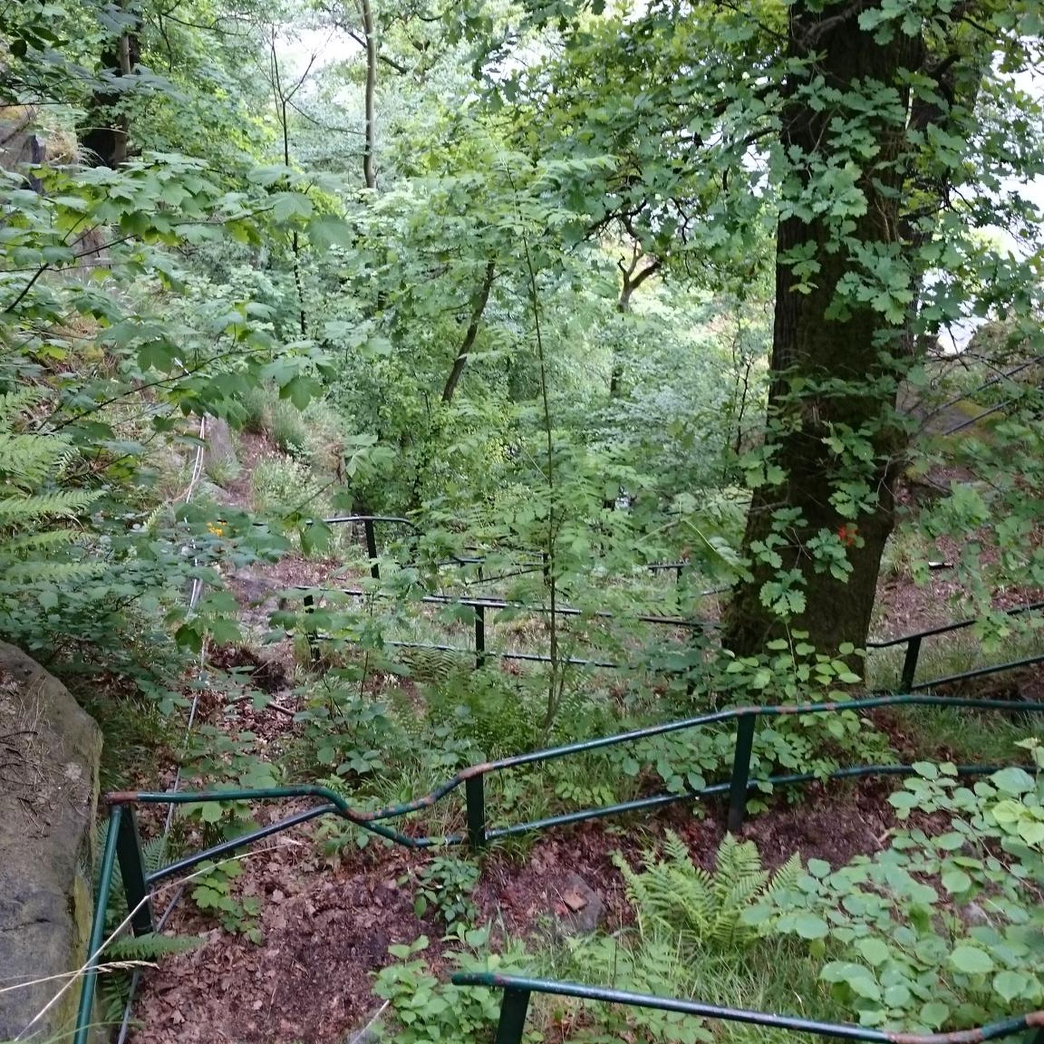
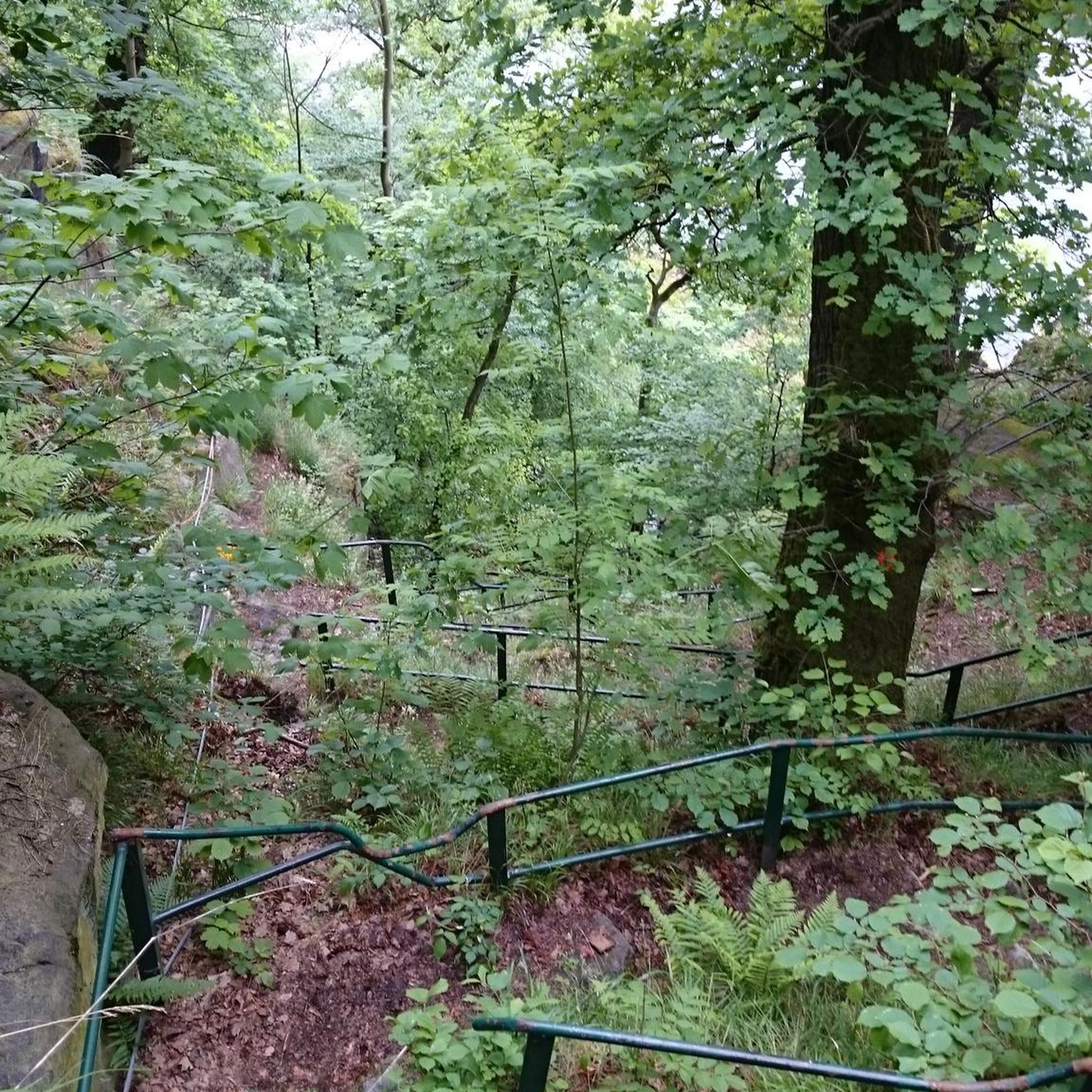
Ester Dome is one of the most prominent land features in this green, rolling landscape. If you're lucky, on a clear day you can see Denali some 200 miles to the south.
1
0

Beautiful spot near Fairbanks with a lovely lake and stunning mountain views. You'll find a small pavilion and parking area by the crystal-clear waters.
0
0

The University of Alaska Fairbanks' slogan is 'Naturally Inspiring' and they take great pride in the trail system near the university. Ballaine Lake is just one of the lakes that can be explored on this network of pathways. There are many potential loops and routes in the surrounding area.
1
0
Frequently Asked Questions
Are dogs allowed on the trails around Chena Ridge?
Yes, dogs are generally welcome on trails in the Chena Ridge area and the broader Chena River State Recreation Area, but they must be kept on a leash or under strict voice control. It's important to be mindful of wildlife, such as moose and bears, and to clean up after your pet to keep the trails enjoyable for everyone.
What are some good, easy hikes for beginners or families?
For an easy and accessible outing, the Farm Road Trail at Creamer's Field is an excellent choice. This relatively flat 3.3-mile (5.3 km) trail is great for families and offers opportunities for birdwatching in the migratory waterfowl refuge.
Are there any circular or loop trails available?
Yes, there are several loop trails. A great option that offers a bit of a workout without being too long is the Powerline Loop. It's a 2.5-mile (4 km) circuit with some elevation gain, providing nice views through the forest.
What kind of wildlife might I see while hiking?
The boreal forests and river habitats support a variety of Alaskan wildlife. It's common to spot moose and beavers, especially near the Chena River. Birdwatchers can look for eagles and various migratory birds. While less common to see, be aware that both black and grizzly bears inhabit the area, so it's wise to carry bear spray and make noise while you hike.
How should I prepare for a hike in the Chena Ridge area?
Weather in Alaska can change rapidly. Always dress in layers, wear sturdy waterproof hiking boots, and bring rain gear. It's essential to carry water, snacks, a map, and a fully charged phone. Due to the presence of bears, carrying bear spray and knowing how to use it is strongly recommended. Insect repellent is also a must-have during the summer months.
Can I hike in the Chena Ridge area during winter?
Absolutely. Many trails are used year-round for winter hiking, snowshoeing, and cross-country skiing. Trails like the Chena Riverwalk are often maintained. Be sure to wear appropriate insulated and waterproof gear, consider using ice cleats or snowshoes for traction, and be aware of much shorter daylight hours.
Where can I find information on current trail conditions?
For the most up-to-date information on trail conditions, especially within the state recreation area, it's best to check with the official source. The Alaska Department of Natural Resources website for the Chena River State Recreation Area is the most reliable place for current alerts, closures, or advisories.
Is there parking available at the trailheads?
Most major trailheads, such as the popular Angel Rocks Trailhead, have designated parking areas. However, these can fill up quickly, especially on weekends. For trails starting closer to Fairbanks, you may need to find street parking. Always check for any parking restrictions or fees before you leave your vehicle.
What are the 'tors' I hear about on some trails?
The tors are large, dramatic granite rock formations that jut out from the landscape. They are a unique geological feature of this region. Trails like the Angel Rocks Trail and the more challenging Granite Tors Trail are famous for leading hikers to these impressive natural monuments, which offer fantastic views from the top.
Are there opportunities for viewing the Northern Lights (Aurora Borealis)?
Yes, the area around Chena Ridge, being away from the city lights of Fairbanks, is a prime location for aurora viewing. For the best chances, you need a clear, dark night, typically between late August and April. Higher elevation points on some trails can serve as good viewpoints, but be cautious if hiking in the dark.
How many hiking trails are there around Chena Ridge?
There are over 20 designated hiking trails in and around the Chena Ridge area, ranging from easy riverside walks to moderate forest loops. This network provides plenty of options for hikers of all skill levels to explore the rolling hills and boreal forests.
What do other hikers say about the trails in this area?
The trails around Chena Ridge are well-regarded by the komoot community. Hikers often praise the variety of the terrain, from the flat, scenic paths along the Chena River to the more challenging climbs into the forested hills that reward with expansive views.
Most popular attractions around Chena Ridge

Get inspired with the komoot mobile app


Explore more
Browse the best Hikes in other regions.
