The best road cycling routes around Dammbach
4.4
(375)
4,196
riders
78
rides
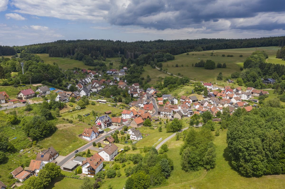
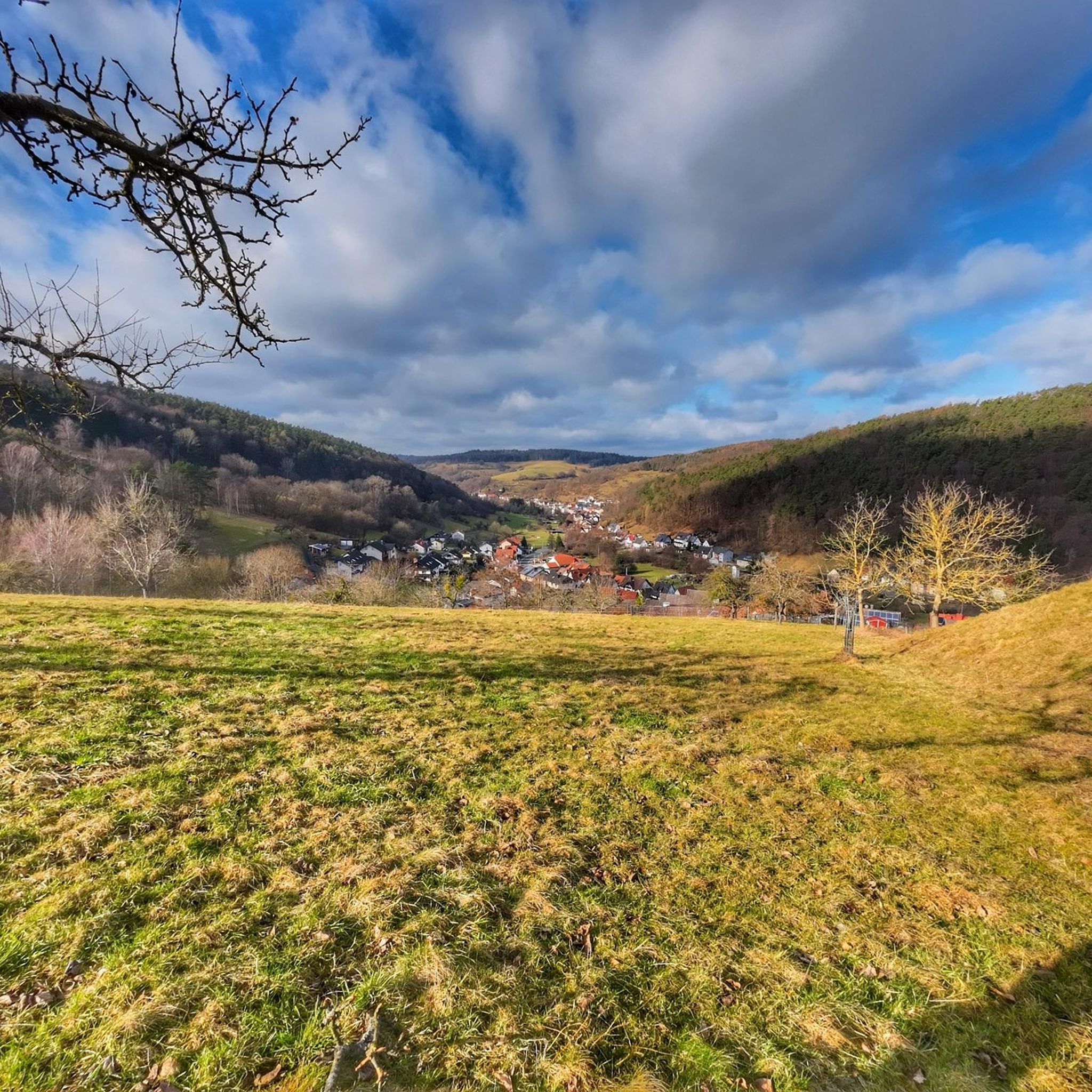
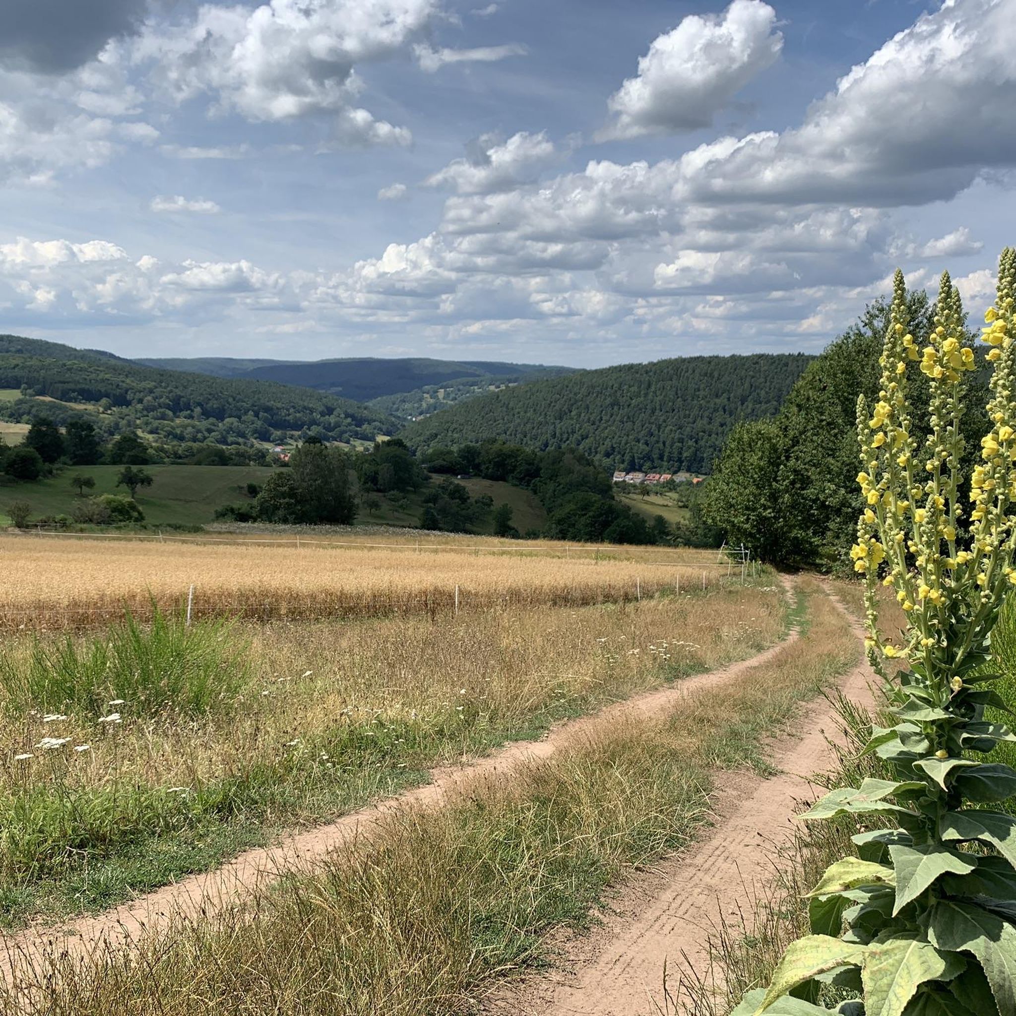
Road cycling around Dammbach offers varied terrain within the High Spessart region of Bavaria, Germany. The area features a romantic Dammbach valley, extensive oak and beech forests, and significant elevation changes. Road cyclists can navigate routes ranging from 200 meters to 525 meters in elevation, providing diverse challenges. The landscape includes red sandstone cliffs and the Dammbach stream, contributing to the scenic diversity of the region.
Best road cycling routes around Dammbach
- The most popular road cycling route is Hafenlohrtalstraße…
Last updated: October 4, 2026
5.0
(9)
210
riders
89.2km
03:57
850m
850m
Moderate road ride. Good fitness required. Some segments of this route may be unpaved and difficult to ride.
4.8
(19)
136
riders
Moderate road ride. Good fitness required. Mostly well-paved surfaces and easy to ride.

5.0
(1)
42
riders
62.2km
02:39
470m
470m
Moderate road ride. Good fitness required. Mostly well-paved surfaces and easy to ride.
4.8
(5)
46
riders
73.8km
03:29
990m
990m
Hard road ride. Very good fitness required. Mostly well-paved surfaces and easy to ride.
4.3
(3)
47
riders
27.3km
01:07
160m
160m
Easy road ride. Great for any fitness level. Mostly well-paved surfaces and easy to ride.
Get access to more routes and recommendations from other explorers.
Already have an account?
Our route recommendations are based on thousands of hikes, rides, and runs completed by other people on komoot.
Start today with a free account
Your next adventure awaits.


Tips from the Community

The pilgrimage church of St. Mariä Himmelfahrt in Hessenthal is a very remarkable architectural ensemble. The two Gothic structures, the Chapel of Grace and the old pilgrimage church, are beautiful at first glance. The new pilgrimage church from 1954 is rather sober, but contains extraordinary works of art: the Lamentation of Christ by Tilman Riemenschneider and the Crucifixion group by Hans Backoffen.
4
0

Bridge crossing the Main into Klingenberg - useful landmark with a nice view of the river in both directions.
0
0
Sweeping view across the vineyard rows - a lovely reminder of the wine country you're cycling through.
0
0

A stroll here is worthwhile - if possible with a climb to the castle.
1
0

Super ascent or descent. The gradient percentages stay in the moderate range with a maximum of 8% and the asphalt is quite okay to ride on. In summer, you have to be a bit careful with the play of shadows caused by the sunlight filtering through the treetops. Here and there, you might otherwise overlook a small pothole in the asphalt or a crack/longitudinal joint in the road surface.
1
0

Wide cycle path for speeding
0
0

Wertheim's old town boasts beautiful architecture: quaint half-timbered houses, magnificent castles, and, of course, the Main and Tauber rivers.
1
0

The church is open daily from 9:30 a.m. to 5:00 p.m. The interior is rather simple, but still worth seeing.
1
0
Frequently Asked Questions
How many road cycling routes are available around Dammbach?
Dammbach offers a wide selection of road cycling routes, with over 80 tours available. These routes cater to various skill levels, ensuring there's something for everyone.
What kind of terrain can I expect when road cycling in Dammbach?
The Dammbach region, nestled in the High Spessart, features a diverse landscape. You'll encounter significant elevation changes, ranging from 200 meters to 525 meters on the Geishöhe, offering both climbs and descents. The routes wind through extensive oak and beech forests, providing oxygen-rich air and scenic views, with some areas featuring fascinating red sandstone cliffs and the romantic Dammbach valley.
Are there road cycling routes suitable for beginners in Dammbach?
Yes, Dammbach has options for less experienced cyclists. There are 24 easy road cycling routes available, perfect for those looking for a more relaxed ride or to build their endurance.
What are the best seasons for road cycling in Dammbach?
The most enjoyable seasons for road cycling in Dammbach are spring, summer, and autumn. Autumn is particularly recommended for its vibrant, colorful foliage, adding an extra layer of beauty to your ride.
Can I find challenging road cycling routes in the Dammbach area?
Absolutely. For experienced road cyclists seeking a challenge, Dammbach offers 15 difficult routes with significant elevation gains. For example, the Kreuzstein Climb – Spessart Bridge (Wertheim) loop from Heimbuchenthal covers 73.6 km with nearly 1000 meters of elevation gain.
Are there any long-distance road cycling routes around Dammbach?
Yes, Dammbach is a great starting point for longer rides. One notable route is the Hafenlohrtalstraße – Hafenlohrtal Nature Reserve loop from Dammbach, which spans 88.9 km and features a significant elevation gain through the nature reserve.
What attractions can I see along the road cycling routes in Dammbach?
Many routes offer access to interesting sights. You can cycle past the picturesque Ludwig-Keller Observation Tower on Geishöhe for panoramic views, or enjoy the View of the Red Sandstone Cliffs Near Dorfprozelten. The region also features natural highlights like the Waldsee Heimbuchenthal.
Are there places to stop for food and drink along the road cycling routes?
Yes, the region has options for refreshment. The Hohewart-Haus (Hohe Warte) near Hessenthal is a rustic forest house popular with cyclists, known for its food and home-brewed beer. Additionally, the Ludwig-Keller-Turm on Geishöhe has an inn conveniently located nearby.
What do other road cyclists enjoy most about road cycling in Dammbach?
The road cycling experience in Dammbach is highly regarded by the komoot community, with an average rating of 4.5 stars from over 290 reviews. Cyclists often praise the varied terrain, the beautiful oak and beech forests, and the well-paved roads, especially the descent from Rohrbrunn towards Dammbach.
Are most road cycling routes in Dammbach circular?
Yes, many of the road cycling routes around Dammbach are designed as loops, allowing you to start and end your ride at the same point. This makes planning your trip more convenient, especially if you're driving to a starting point.
Where are good starting points for road cycling in Dammbach?
Routes often start from central locations within Dammbach or nearby villages like Heimbuchenthal and Hobbach. These areas typically offer convenient access to the road network and potential parking facilities, allowing you to easily begin your chosen tour.
Most popular routes around Dammbach
Most popular attractions around Dammbach

Get inspired with the komoot mobile app


Explore more
Browse the best Road cycling routes in other regions.
