The best running trails in Alpine Lakes Wilderness Study Area
193
runners
17
runs
Jogging in Alpine Lakes Wilderness Study Area offers routes through a landscape characterized by numerous alpine lakes, rugged mountain peaks, and dense forests. The region features a network of trails, including sections of the Pacific Crest Trail, providing varied terrain for runners. Elevation changes are common, with many routes leading to scenic viewpoints and high-altitude lakes.
Best jogging routes in Alpine Lakes Wilderness Study Area
- The most popular jogging route is Wright Mountain via Snow Lake Trail, a 11.4…
Last updated: May 12, 2026
23
runners
18.4km
02:48
880m
880m
Hard run. Very good fitness required. Sure-footedness, sturdy shoes and alpine experience required.
11
runners
6.70km
00:58
270m
270m
Moderate run. Good fitness required. Mostly paved surfaces. Suitable for all skill levels.

Sign up for free
7
runners
13.6km
02:00
650m
650m
Hard run. Very good fitness required. Mostly paved surfaces. Suitable for all skill levels.
7
runners
14.3km
02:22
900m
900m
Hard run. Very good fitness required. Sure-footedness, sturdy shoes and alpine experience required.
1
runners
19.9km
02:48
650m
650m
Hard run. Very good fitness required. Mostly paved surfaces. Suitable for all skill levels.
33
runners
8.09km
01:10
370m
370m
Hard run. Very good fitness required. Mostly paved surfaces. Suitable for all skill levels.
11
runners
12.3km
01:40
410m
410m
Hard run. Very good fitness required. Mostly paved surfaces. Suitable for all skill levels.
13
runners
10.9km
01:31
400m
400m
Hard run. Very good fitness required. Mostly paved surfaces. Suitable for all skill levels.
7
runners
10.2km
01:04
40m
40m
Moderate run. Good fitness required. Mostly paved surfaces. Suitable for all skill levels.
7
runners
23.8km
03:11
580m
580m
Hard run. Very good fitness required. Sure-footedness, sturdy shoes and alpine experience required.
Get access to more routes and recommendations from other explorers.
Sign up for free
Already have an account?
Our route recommendations are based on thousands of hikes, rides, and runs completed by other people on komoot.
Start today with a free account
Your next adventure awaits.
Login or Signup
Popular around Alpine Lakes Wilderness Study Area
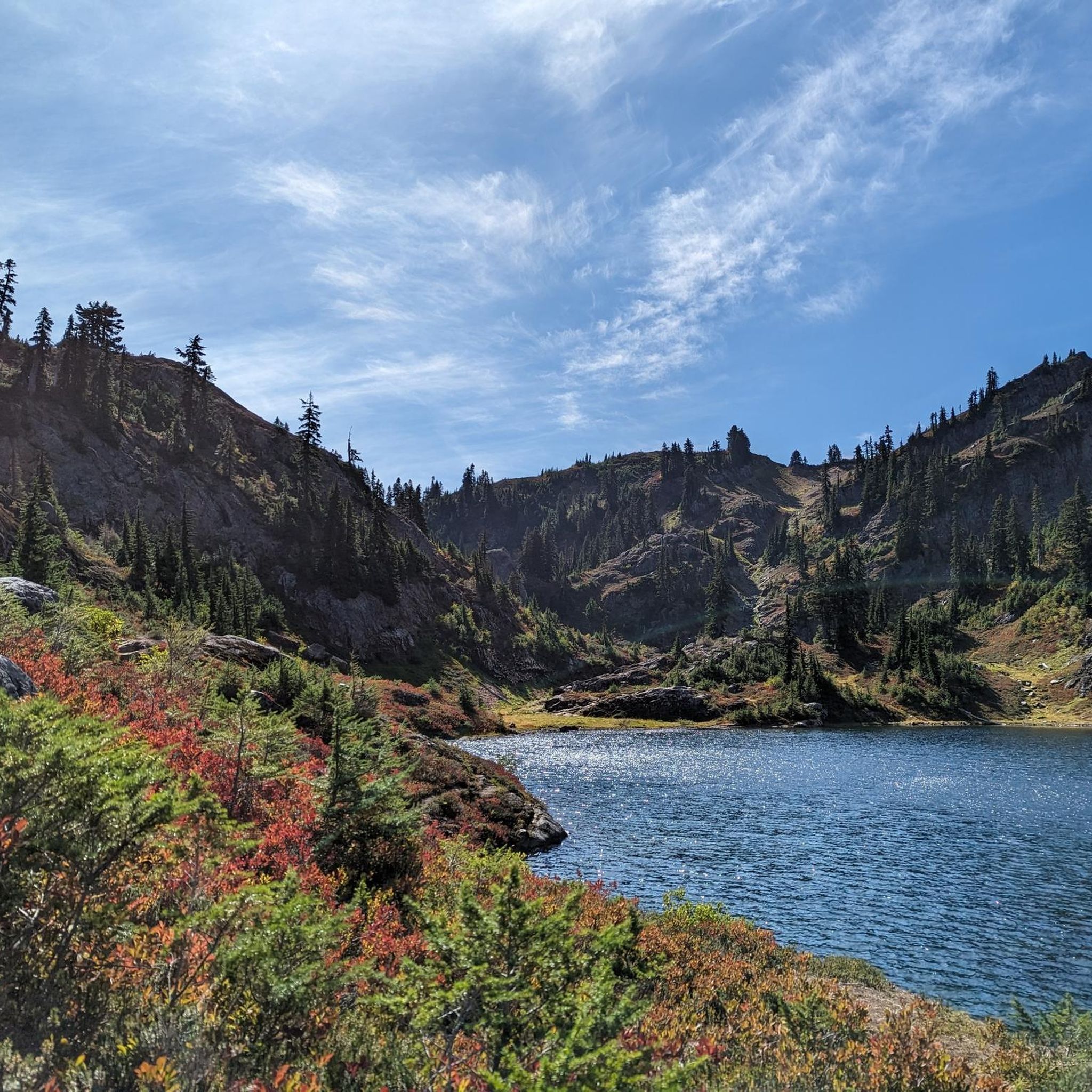
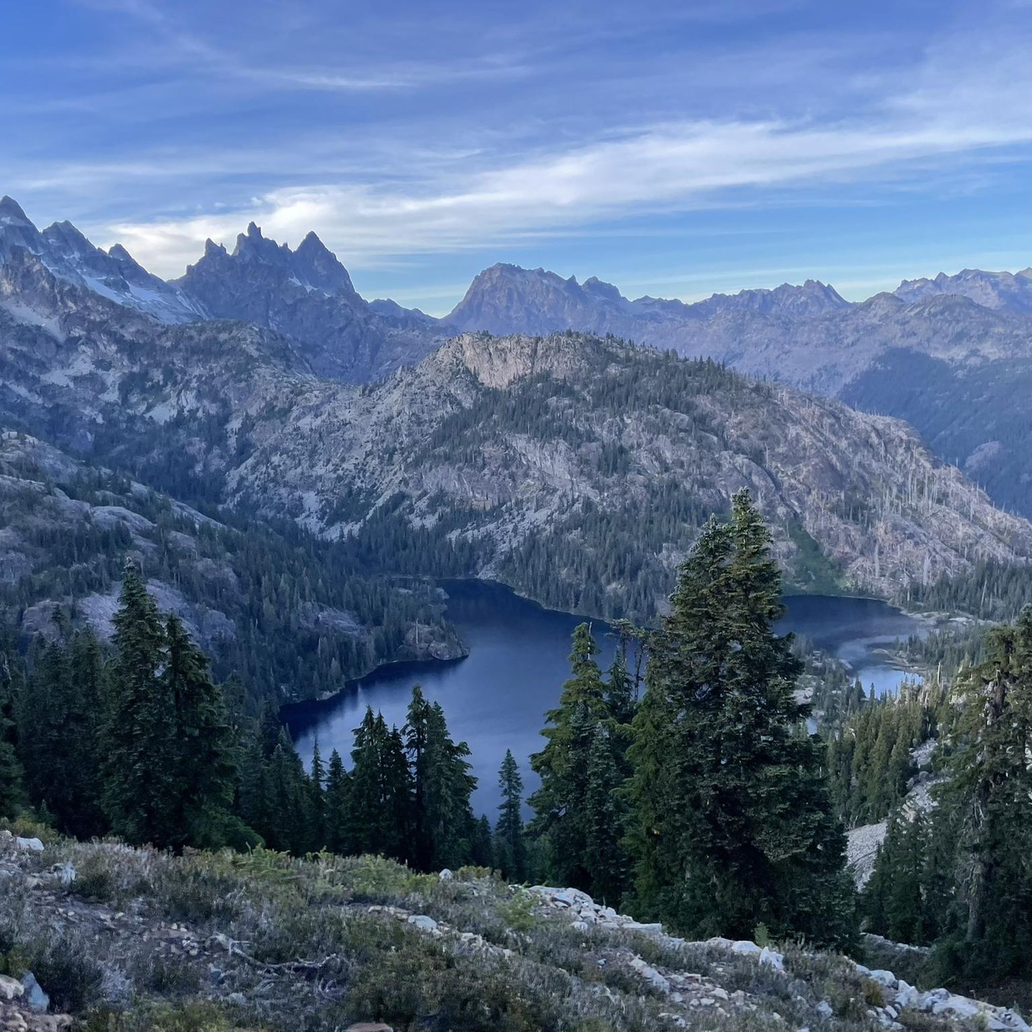

Tips from the Community

Do not take the loop shown here. There is no trail. I would follow the sign to Snowlake. Another tip, I highly recommend against this hike due to the size of the massive crowds. There was a line of people to go up.
0
0

4 hour hike, bring water and bear spray, saw one
0
0

This is a particularly beautiful section of the PCT that leads you up to Kendall Peak. It is worth a small detour off the trail to get to the peak to enjoy the wonderful view.
0
0

This is a bucket list item and crowning point for a daytrip up and back from Rattlesnake Lake. The 18-mile ride up to the Pass is relatively easy railroad grade and doable, even if you don't think you can get up here. But the highlight is then going through the tunnel to a completely different world on the other side. Definitely bring a jacket (it's maybe 45 degrees in there?) and absolutely deck your bike in the brightest lights you can find. The drip, drip, drip of water and murmurs of other people will follow you throughout the 2.3 mile tunnel. There is a very nice rest area in Hyak on the East side of the tunnel - lots of water, a bike repair stand and tools, and a nice spot for a picnic before you turn around and zoom down the trail in a third of the time it took to come up. Or you can continue on to the East if you want!
0
0
The best place to stop for a rest and some food after climbing up the trail and going through the tunnel. There are restrooms, fresh water, a bike repair stand, tools and air pump and picnic tables. Oh, and a friendly sign post. If you are going from Cedar Falls to Easton, you are just over halfway there, and it's a slight downhill all the way!
1
0

In 1915, Hyak replaced Laconia as the main train station on Snoqualmie Pass. Hyak had a small school house, and a post office. A large attraction was the national ski championship events held at here from 1941 until 1949 when the lodge was lost to fire. The train station saw its last train roll across its tracks in 1981 when the Milwaukee Road Railroad sold off the line and it was decommissioned.
0
1
Gold Creek Pond is an ADA-accessible paved loop hike around a picturesque mountain pond atop Snoqualmie Pass. It is the perfect hike for small children, who can walk unassisted the whole route, for parents pushing strollers, and for people in wheelchairs. It's also a good leg stretcher for folks who have been driving a long time and need a break. This pond started off as a gravel pit used to build I-90m but has since been reclaimed.
0
0

A stunning alpine lake where you can take on the views of Abiel Peak to the southwest and Silver Peak to the east, as well as a waterfall on the east shore. Trillium and glacier lilies peek out of the receding snow in late spring. It is an excellent halfway point to an amazing hike.
0
0
Frequently Asked Questions
How many running routes are available in the Alpine Lakes Wilderness Study Area?
The Alpine Lakes Wilderness Study Area features over 20 running routes. While most are challenging, there are a few moderate options for those seeking a less strenuous experience.
Are there any moderate running trails in the Alpine Lakes Wilderness Study Area?
Yes, there are a couple of moderate running trails. One popular choice is the Pacific Crest Trail to Lodge Lake, which offers a 4.2-mile (6.7 km) path through forested areas.
What is the best time of year for trail running in the Alpine Lakes Wilderness?
The best time for trail running is typically from late spring to early autumn (June to October). During these months, snow has usually melted from lower and mid-elevation trails, and the weather is generally more favorable. Always check current conditions before heading out, especially for higher-elevation routes.
Are dogs allowed on the running trails in the Alpine Lakes Wilderness Study Area?
Yes, dogs are generally allowed on trails in the Alpine Lakes Wilderness Study Area, but they must be kept on a leash at all times. Please remember to pack out all waste and ensure your dog is well-behaved to protect the delicate wilderness environment and other trail users.
Are permits required for trail running in the Alpine Lakes Wilderness Study Area?
Day-use permits are generally not required for most trails in the Alpine Lakes Wilderness Study Area. However, some specific trailheads or areas might have special regulations or require a Northwest Forest Pass for parking. Always check the latest regulations from the U.S. Forest Service before your visit.
Are there any circular running routes in the Alpine Lakes Wilderness Study Area?
Yes, there are several loop options for runners. For example, the Kendall Katwalk – PCT to Kendall Peak loop from Snoqualmie Pass offers a challenging 12.3-mile (19.7 km) run with significant elevation changes.
What kind of scenery can I expect on these running routes?
Runners in the Alpine Lakes Wilderness Study Area can expect breathtaking scenery, including numerous pristine alpine lakes, rugged mountain peaks, and dense evergreen forests. Many routes offer panoramic viewpoints and lead to high-altitude lakes, providing a true wilderness experience.
What do other runners enjoy most about jogging in the Alpine Lakes Wilderness Study Area?
The area is highly rated by the komoot community, with an average score of 5.0 stars. Runners often praise the stunning natural beauty, the challenging yet rewarding terrain, and the sense of solitude found on many of the trails leading to alpine lakes and mountain vistas.
Are there any less crowded running routes for a more peaceful experience?
While popular routes like Snow Lake can see significant traffic, exploring trails deeper into the wilderness or visiting during off-peak times (weekdays, early mornings) can offer a more serene experience. Routes like Gold Creek Trail to Alaska Lake, while challenging, can provide a greater sense of solitude.
Where can I find parking for the running trails?
Parking is typically available at designated trailheads throughout the Alpine Lakes Wilderness Study Area. Some popular trailheads, especially those near Snoqualmie Pass, may have limited space and can fill up quickly on weekends. Always check specific trailhead information for parking availability and any required passes.
Are there any running routes suitable for families or beginners?
Given that 18 out of 20 routes are rated 'difficult' and 2 are 'moderate', most trails in this wilderness area are quite challenging. The Pacific Crest Trail to Lodge Lake is one of the more accessible moderate options, but families with young children or absolute beginners might find even this route demanding due to the wilderness terrain.
What is the typical duration for a run on the Gold Creek Trail to Alaska Lake?
The Gold Creek Trail to Alaska Lake is a 12.4-mile (19.9 km) difficult route. It typically takes runners around 2 hours and 48 minutes to complete, depending on individual pace and conditions.
Most popular routes in Alpine Lakes Wilderness Study Area

Get inspired with the komoot mobile app


Explore more
Browse the best Running Trails & Routes in other regions.
