The best running trails in Spring Mountains National Recreation Area
37
runners
7
runs
Jogging in Spring Mountains National Recreation Area offers diverse terrain for runners. The region is characterized by mountainous landscapes, featuring significant elevation changes and varied ecosystems. Trails often traverse through pine forests at higher altitudes and more arid, rocky areas at lower elevations, providing a range of running experiences.
Best jogging routes in Spring Mountains National Recreation Area
- The most popular jogging route is Pictographs loop from White Rock Hills, a 6.4 miles (10.3 km) trail that takes about…
Last updated: July 8, 2026
9
runners
51.2km
07:40
2,440m
2,450m
Hard run. Very good fitness required. Mostly paved surfaces. Suitable for all skill levels.
7
runners
33.7km
04:19
960m
960m
Hard run. Very good fitness required. Mostly paved surfaces. Suitable for all skill levels.

Sign up for free
5
runners
11.4km
01:22
210m
210m
Moderate run. Good fitness required. Mostly accessible paths. Some sure footedness required.
3
runners
6.27km
00:40
110m
110m
Moderate run. Good fitness required. Mostly paved surfaces. Suitable for all skill levels.
2
runners
12.3km
01:19
160m
160m
Moderate run. Good fitness required. Mostly paved surfaces. Suitable for all skill levels.
Get access to more routes and recommendations from other explorers.
Sign up for free
Already have an account?
Our route recommendations are based on thousands of hikes, rides, and runs completed by other people on komoot.
Start today with a free account
Your next adventure awaits.
Login or Signup
Popular around Spring Mountains National Recreation Area
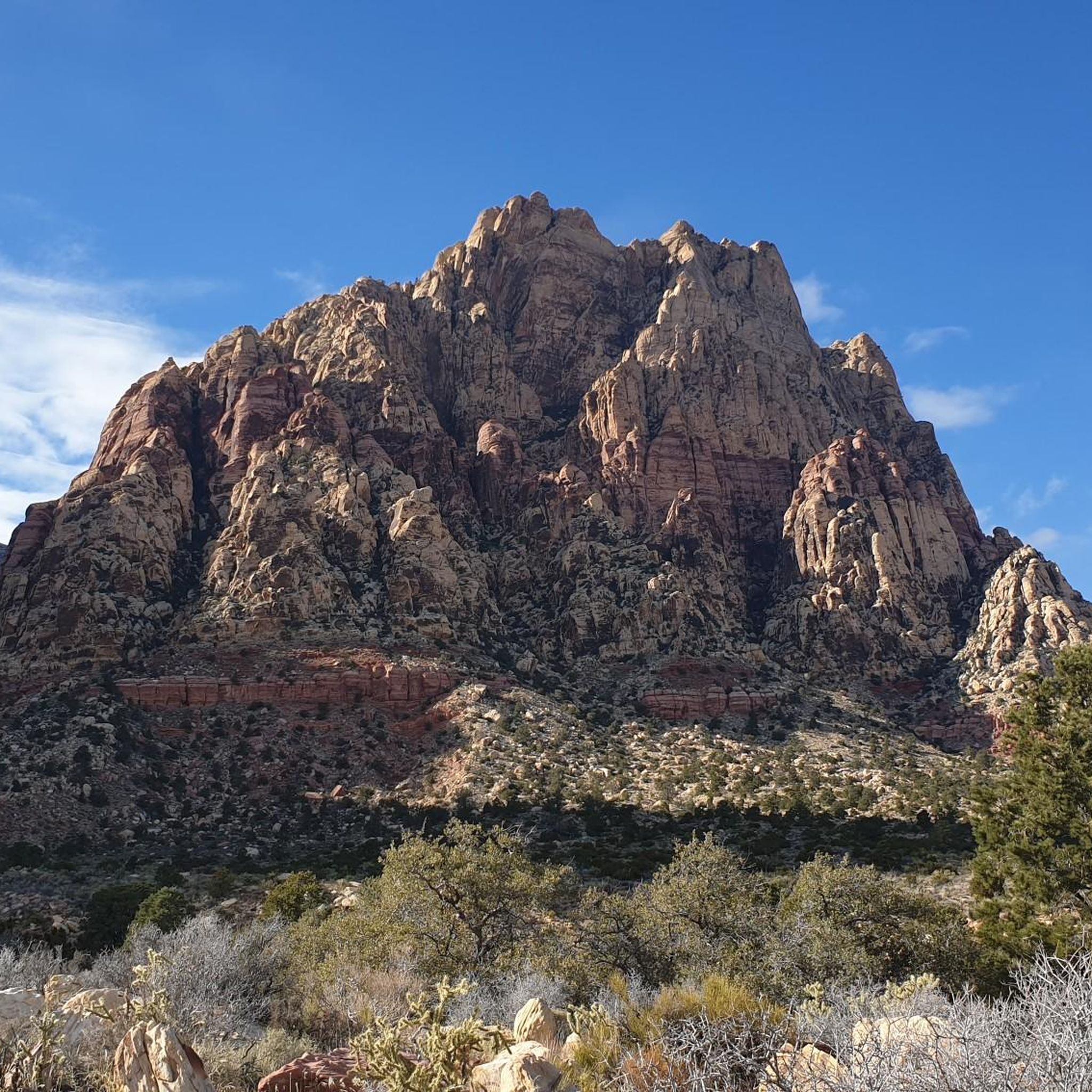
Running Trails in Rainbow Mountain Wilderness

The tour of your life – music trails on the Pacific coast
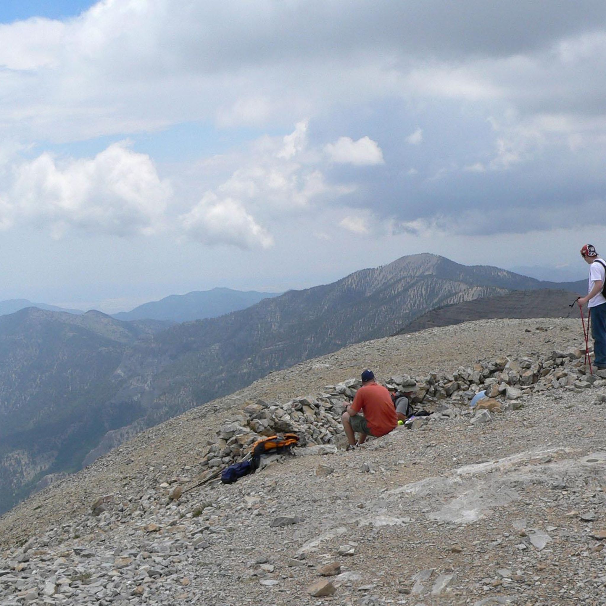
Hiking in Spring Mountains National Recreation Area
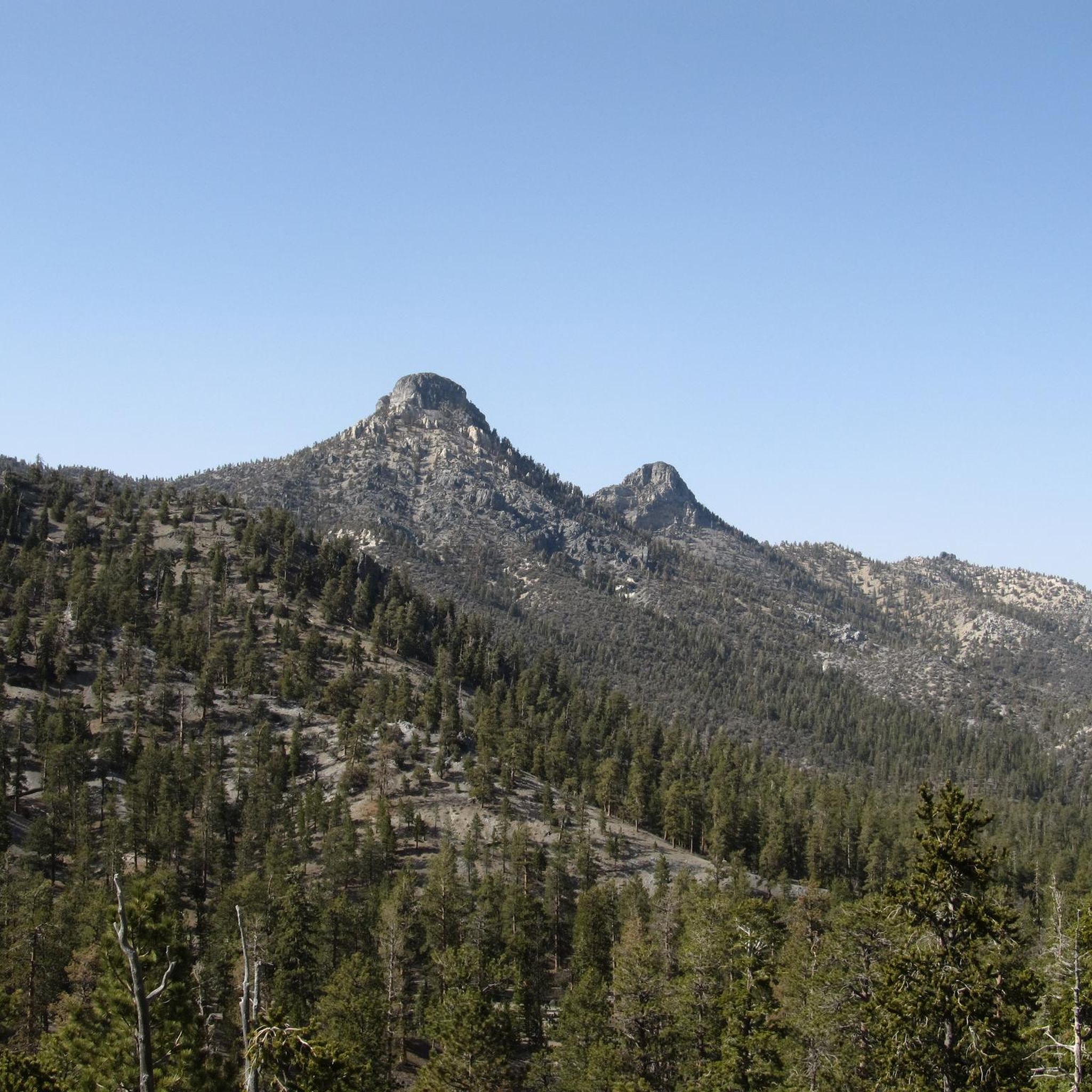
MTB Trails in Spring Mountains National Recreation Area
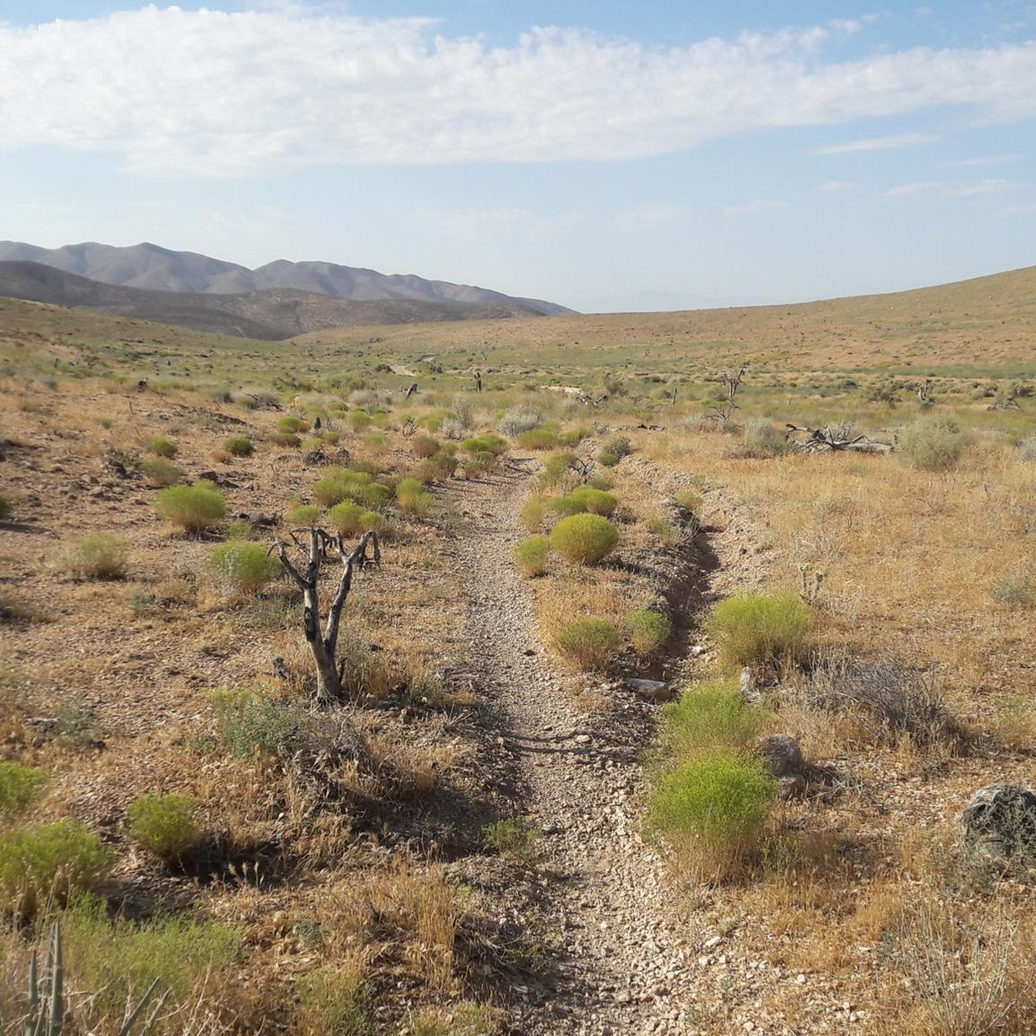
Cycling in Spring Mountains National Recreation Area

Road Cycling Routes in Spring Mountains National Recreation Area
Other adventures in Spring Mountains National Recreation Area

Tips from the Community

The Mustang Loop is a popular trail that runs through open desert. It is well-used by hikers and mountain bikers, so there is a good chance you will see other out enjoying the path.
1
0

Fantastic place to grab anything from a coffee and pastry in the moring to a pizza and beer in the evening! A hidden gem and local favorite in Blue Diamond right next to the Trek MTB rental store.
0
0
This segment of Step Ladder is a nice climb that follows a combination of singletrack and dirt roads to get you to the intersection with Shady Hollow, Tin Can Alley, and the top of the Scar.
0
0
This short section of the popular Landmine Loop brings you out of (or into!) the small desert town of Blue Diamond between two large rocky hills. It's a great, fast way to connect the town to the large network of trails that begin at the Late Night Trailhead.
0
0

Quiet little town just outside Vegas which guards one of the gateways to Red Rock Canyon. It's also the home to a large population of wild burros (donkeys), one of the unofficial symbols of Nevada.
1
0
This is the trailhead for the North Loop Trail. This popular, but challenging, trail is one of the most common ways to summit Mount Charleston. You can also access Fletcher Peak, Mummy Mountain, Mummy Springs, Trail Canyon, Cave Springs, and the incredible Raintree (the oldest living organism in Nevada) from this trailhead.
0
2
At the top of Trail Canyon you reach a ponderosa pine covered saddle, which is also the junction for Trail Canyon Trail and the North Loop Trail. You get fantastic views of the towering limestone Echo Cliffs and the "Mummy's Toe." You can also see Mount Charleston peaking through the trees. This trail junction is a great place to rest and sip some water before continuing onward.
0
0
The Trail Canyon Trailhead is where the Trail Canyon Trail begins. There is a large gravel parking area, pit toilets, an informational sign, and benches near by to put on your hiking shoes and relax. Trail Canyon Trail is a popular trail for hikers and climbers, and a good way to reach the North Loop Trail from Kyle Canyon. You get great views of towering limestone cliffs from this trailhead that only get better as you begin your hike up Trail Canyon.
0
0
Frequently Asked Questions
What is the typical length of running routes in Spring Mountains National Recreation Area?
Running routes in the Spring Mountains National Recreation Area vary significantly in length. You'll find shorter options like the Mustang Loop loop from Late Night Trailhead Parking, which is about 3.9 miles (6.3 km), as well as much longer, more challenging trails such as the North Loop Trailhead – Echo Canyon Overlook loop from North Loop Trailhead, spanning over 25 miles (41 km).
What are the difficulty levels of the running trails in Spring Mountains National Recreation Area?
The Spring Mountains National Recreation Area offers a range of running trail difficulties. While there are no easy routes listed, you can find several moderate options, such as the Mustang Loop loop from Late Night Trailhead Parking. Many trails are rated difficult, featuring significant elevation changes, like the Pictographs loop from White Rock Hills.
Are there any running routes suitable for families or beginners?
While many trails in the Spring Mountains National Recreation Area are rated moderate to difficult due to the mountainous terrain and elevation changes, beginners and families might find the moderate Mustang Loop loop from Late Night Trailhead Parking a good starting point. It's a shorter option with less elevation compared to the more challenging routes.
Are dogs allowed on the running trails in Spring Mountains National Recreation Area?
Generally, dogs are allowed on trails within the Spring Mountains National Recreation Area, but they must be kept on a leash. Always check specific trail regulations before heading out, as some areas or wilderness sections might have different rules. Ensure your dog is accustomed to the terrain and weather conditions.
What kind of terrain can I expect on the running routes?
The Spring Mountains National Recreation Area features diverse terrain. You can expect mountainous landscapes with significant elevation changes, traversing through pine forests at higher altitudes and more arid, rocky areas at lower elevations. This provides a varied and engaging running experience.
What can I see along the running routes in Spring Mountains National Recreation Area?
Many running routes offer stunning natural sights. You might encounter unique geological features like the Fletcher Canyon Narrows or discover serene spots like Mummy Spring and Mary Jane Falls. The area is also home to impressive natural monuments such as The Raintree.
Are there any loop running trails available?
Yes, many of the running routes in Spring Mountains National Recreation Area are designed as loops. Examples include the popular Pictographs loop from White Rock Hills, the Mustang Loop loop from Late Night Trailhead Parking, and the longer Running loop from Late Night Trailhead Parking.
What is the best time of year for jogging in Spring Mountains National Recreation Area?
The best time for jogging depends on the specific elevation and your tolerance for heat or cold. Lower elevation trails are often best in spring and fall when temperatures are milder. Higher elevation trails, which can be snow-covered in winter, offer a cool escape during the summer months. Always check weather conditions before you go.
What do other runners enjoy most about jogging in Spring Mountains National Recreation Area?
The komoot community highly rates the varied terrain and scenic beauty of the Spring Mountains National Recreation Area. Runners often praise the challenging mountain trails, the unique desert landscapes, and the refreshing pine forests, which offer diverse experiences for all ability levels.
Are there opportunities for wildlife spotting while running?
Yes, the Spring Mountains National Recreation Area is home to diverse wildlife. While running, you might spot various bird species, deer, and other desert animals. Early mornings or late afternoons are often the best times for wildlife viewing. Remember to maintain a respectful distance and never feed wild animals.
Where can I find parking for the running trails?
Many popular trailheads in the Spring Mountains National Recreation Area offer designated parking. For example, you can find parking at the Late Night Trailhead, which serves routes like the Mustang Loop loop from Late Night Trailhead Parking and the Running loop from Late Night Trailhead Parking. The North Loop Trailhead is another key access point with parking, for routes such as the North Loop Trailhead – Step Ladder loop from North Loop Trailhead.
Most popular routes in Spring Mountains National Recreation Area
Most popular attractions in Spring Mountains National Recreation Area

Get inspired with the komoot mobile app


Didn’t find what you were looking for?
Check out more Running Trails & Routes throughout Spring Mountains National Recreation Area below and find the perfect route in your destination.
Explore more
Browse the best Running Trails & Routes in other regions.
