The best running trails in Jemez National Recreation Area
16
runs
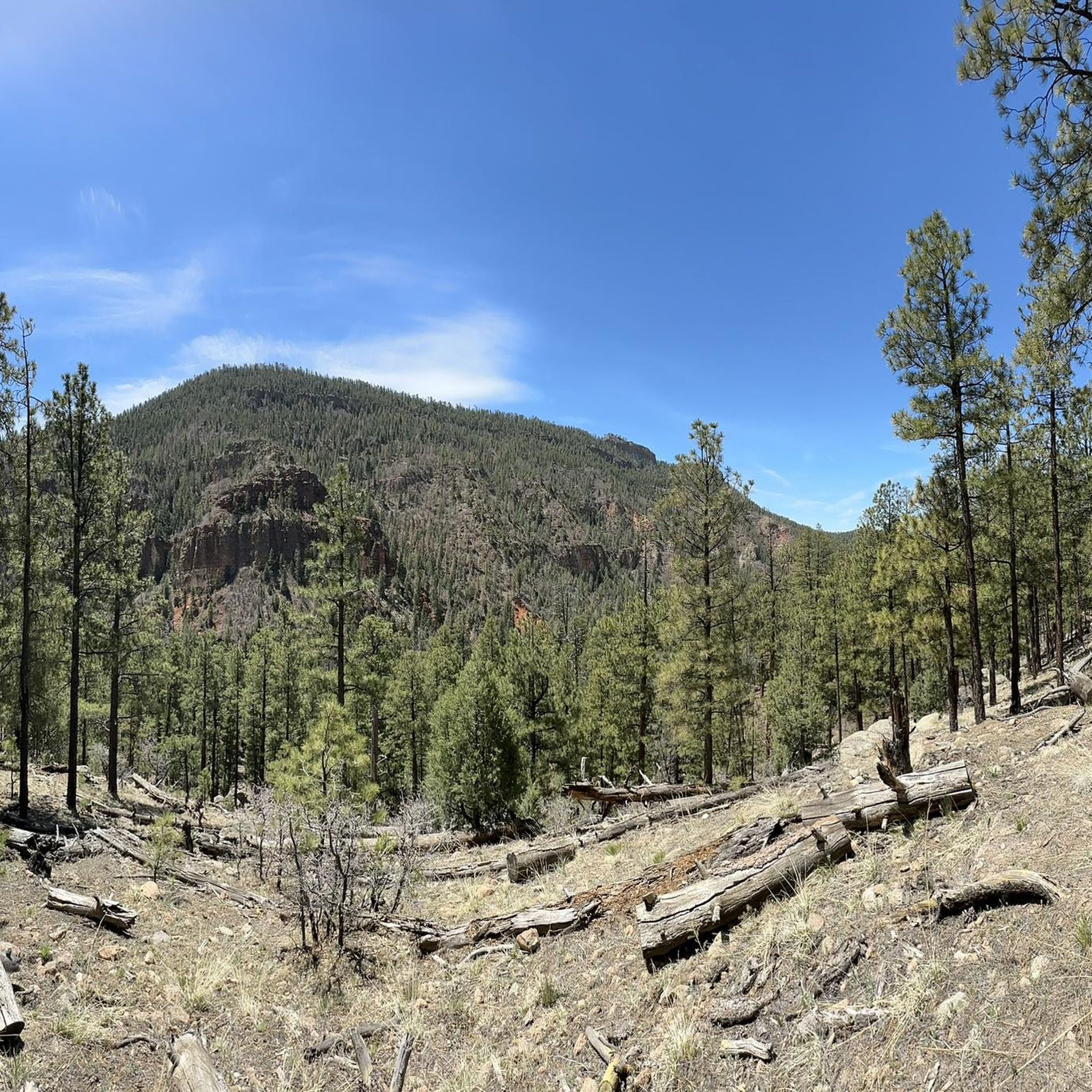
Jogging in Jemez National Recreation Area offers a diverse landscape for runners. The region is characterized by forested trails, scenic overlooks, and paths alongside creeks and springs. Runners can expect varied terrain, from gentle slopes to more challenging ascents, providing a range of experiences within the natural environment. The area's geology includes features like tunnels and waterfalls, adding interest to many running routes.
Best jogging routes in Jemez National Recreation Area
- The most popular jogging route is Coyote Call and…
Last updated: May 27, 2026
5.20km
00:41
200m
200m
Moderate run. Good fitness required. Mostly paved surfaces. Suitable for all skill levels.
9.72km
01:23
390m
390m
Hard run. Very good fitness required. Mostly paved surfaces. Suitable for all skill levels.

15.2km
01:51
250m
250m
Hard run. Very good fitness required. Mostly paved surfaces. Suitable for all skill levels.
9.15km
01:09
300m
300m
Hard run. Very good fitness required. Mostly paved surfaces. Suitable for all skill levels.
5.11km
00:34
40m
40m
Moderate run. Good fitness required. Mostly paved surfaces. Suitable for all skill levels.
11.7km
01:28
210m
210m
Moderate run. Good fitness required. Mostly paved surfaces. Suitable for all skill levels.
11.7km
01:22
100m
100m
Moderate run. Good fitness required. Mostly paved surfaces. Suitable for all skill levels.
8.08km
01:02
390m
390m
Hard run. Very good fitness required. Mostly paved surfaces. Suitable for all skill levels.
4.88km
00:32
100m
100m
Moderate run. Good fitness required. Mostly paved surfaces. Suitable for all skill levels.
15.0km
01:47
240m
240m
Moderate run. Good fitness required. Mostly paved surfaces. Suitable for all skill levels.
Get access to more routes and recommendations from other explorers.
Already have an account?
Our route recommendations are based on thousands of hikes, rides, and runs completed by other people on komoot.
Start today with a free account
Your next adventure awaits.


Tips from the Community

San Antonio Hot Springs has natural hot water coming out of several sources of the hillsides. There are a few soaking pools made of primitive rock circles, each with a different temperature. There is a shorter trail that is only 0.7 miles out and back from Lake Forest Drive, but the road to get there can be closed in the winter.
0
0
Sulphur Springs is a ghost town that once was home to a sulfur mine and spa. There is visible geothermal activity, so you could catch some bubbling ponds on your run by here, but beware of strong gases and fumes coming out of the ground.
0
0
From this point, get a good view of Mesa Garcia in the east. Its peak reaches close to 7,000 feet above sea level.
0
0
Gilman Tunnels are on a narrow, paved road that is used by cars but is also popular with bikers, hikers, and runners. The tunnels were cut out of rock in the 1920s and made bigger in the 1930s for logging projects. The rocks here are 1.6 billion years old, and this area has great views of the canyons and Rio Guadalupe.
0
0
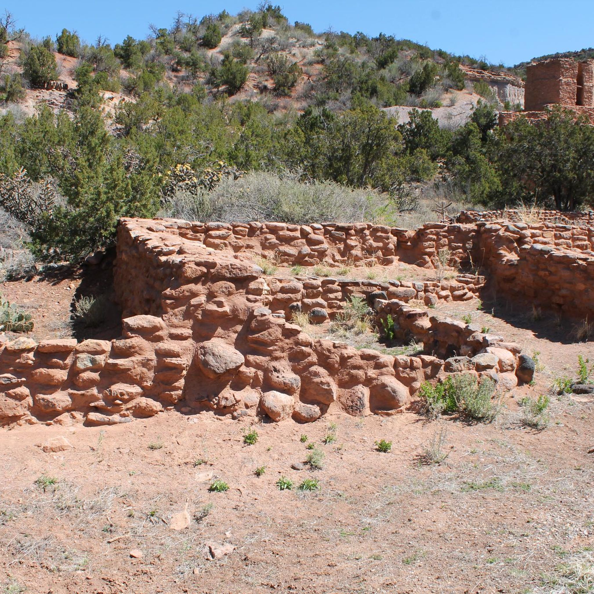
Jemez State Monument is a short network of paved walking trails to check out before or after your run. The ruins are rich in history and made of beautiful local red stone.
0
0
The trails east of Jemez Pueblo are a series of trails across the highway from the Jemez State Monument. They are without blazes or signs, but it is easy to see the footpath. From the parking area, cross NM Highway 4 and run these backcountry trails.
0
0
Jemez Falls Campground is a good spot for a break. This campground has restrooms and a picnic area with benches to sit down and rest. This campground is at an elevation of 7,880 feet above sea level.
0
0
Jemez Canyon Overlook is a clearing of trees and a rock outcropping that gives runners clear views of the canyon and New Mexico Highway 4.
0
0
Frequently Asked Questions
How many running routes are available in Jemez National Recreation Area?
Jemez National Recreation Area offers a variety of running experiences, with over 15 routes to explore. These include options ranging from easy strolls to challenging long-distance runs.
Are there easy running routes suitable for beginners or a relaxed jog?
Yes, the area features 2 easy running routes perfect for beginners or those seeking a more relaxed pace. These trails typically have minimal elevation changes and offer a pleasant experience through the natural landscape.
What kind of terrain can I expect on the running trails in Jemez National Recreation Area?
Runners can expect a diverse landscape, including forested trails, scenic overlooks, and paths that follow creeks and springs. The terrain varies from gentle slopes to more challenging ascents, often featuring unique geological formations like tunnels and waterfalls.
Are there any circular running routes in the area?
Yes, several routes offer a circular experience. For example, the Hal Baxter Memorial Trail and Fenton Lake Loop is a moderate 3.2-mile (5.1 km) option that circles Fenton Lake, providing scenic views.
Can I see waterfalls or hot springs while running in Jemez National Recreation Area?
Absolutely. The region is known for its natural thermal features and waterfalls. The Jemez Falls and McCauley Hot Springs via East Fork Trail is a difficult 5.7-mile (9.1 km) route that allows you to experience both. You can also visit View of Jemez Falls and McCauley Warm Spring.
Are dogs allowed on the jogging routes in Jemez National Recreation Area?
Generally, dogs are welcome on trails within the Jemez National Recreation Area, but they must be kept on a leash. Always check specific trail regulations before heading out, as some areas might have restrictions to protect wildlife or sensitive ecosystems.
What natural landmarks can I explore along the running trails?
Beyond hot springs and waterfalls, you can encounter impressive natural landmarks. The Gilman Tunnels route, a moderate 3.0-mile (4.9 km) run, takes you through unique geological formations. Other notable sights include Battleship Rock and Tent Rocks.
Are there longer running trails for endurance training?
For those looking for longer distances, the Sulphur Springs to Redondo Overlook trail run is a moderate 9.3-mile (15.0 km) option. Another excellent choice is the San Antonio Creek Trail, a moderate 7.3-mile (11.7 km) path.
What is the best season for jogging in Jemez National Recreation Area?
The best seasons for jogging are typically spring and fall, when temperatures are mild and the scenery is vibrant. Summer can be pleasant at higher elevations, but be mindful of afternoon thunderstorms. Winter offers unique snowy running opportunities, but requires appropriate gear and caution due to potential ice and snow.
Are there any moderate difficulty running options for intermediate runners?
Yes, the area has 8 moderate difficulty routes. A good option is the Jemez Canyon Overlook to Jemez Falls Campground trail run, a 7.3-mile (11.7 km) route that offers a balanced challenge with rewarding views.
Are there routes that offer scenic views or unique geological features?
Many routes provide stunning vistas and geological interest. The Monastery Trail, a difficult 5.0-mile (8.1 km) loop, offers significant elevation changes and panoramic views. Additionally, the Gilman Tunnels route is known for its distinctive rock formations.
Most popular routes in Jemez National Recreation Area
Most popular attractions in Jemez National Recreation Area

Get inspired with the komoot mobile app


Didn’t find what you were looking for?
Check out more Running Trails & Routes throughout Jemez National Recreation Area below and find the perfect route in your destination.
Explore more
Browse the best Running Trails & Routes in other regions.
