The best road cycling routes in Arapaho National Recreation Area
70
riders
7
rides
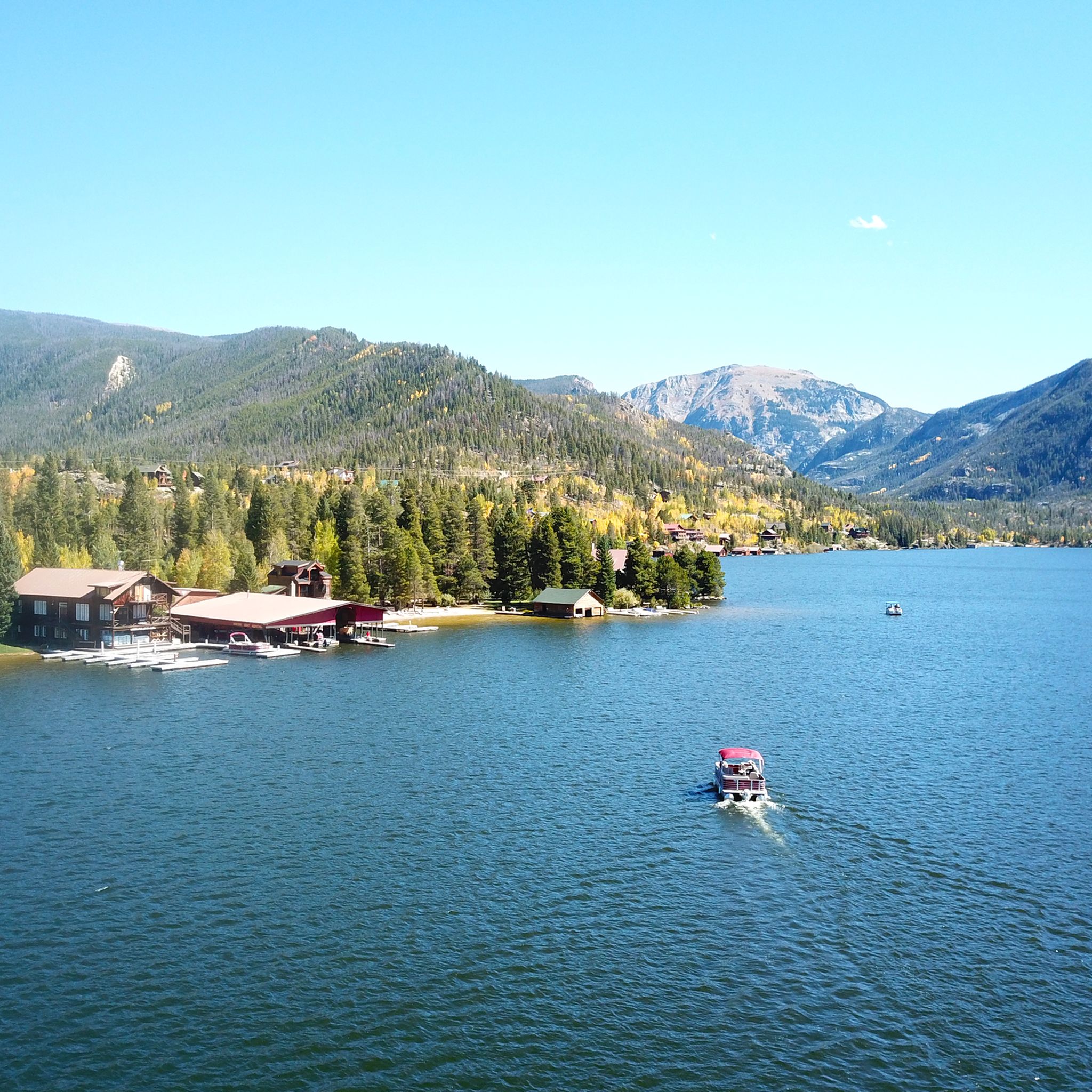
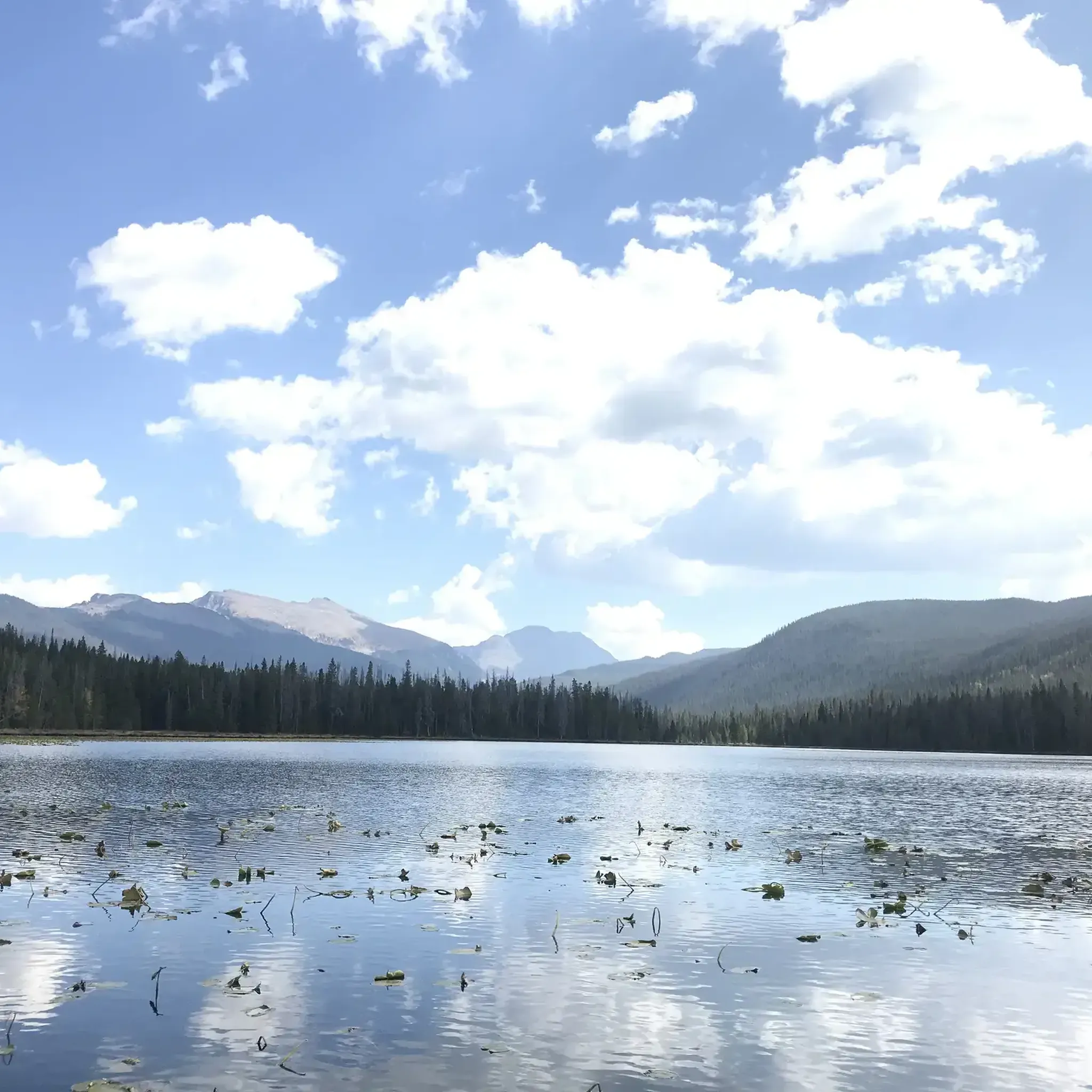
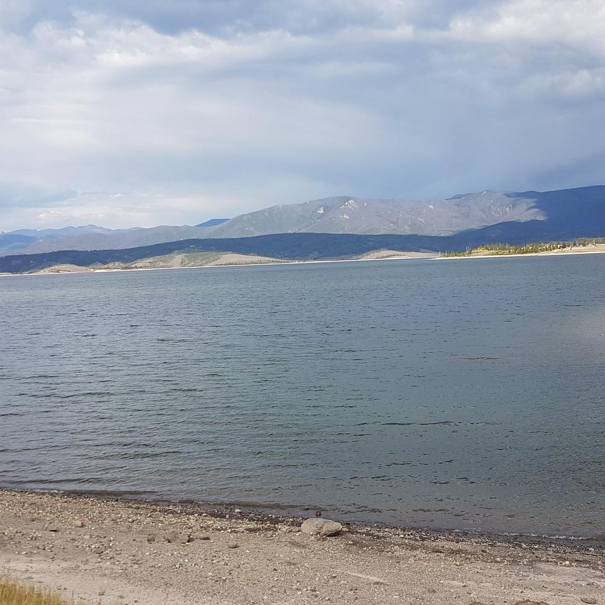
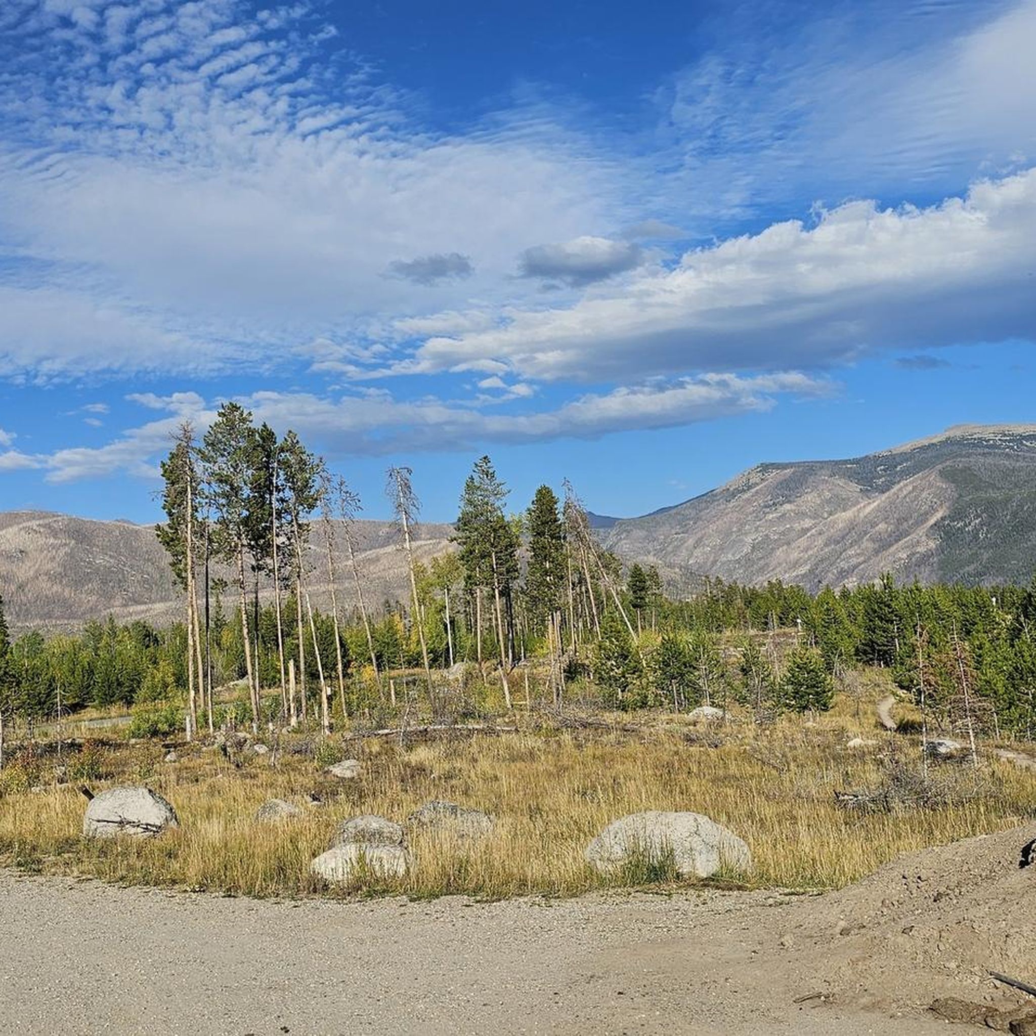
Road cycling routes in Arapaho National Recreation Area traverse a landscape characterized by interconnected lakes, alpine terrain, and surrounding 12,000-foot mountains. This region, often referred to as "The Great Lakes of Colorado," encompasses 35,000 acres of varied topography, including meadows and woodlands. The area is part of the larger Arapaho National Forest, providing a diverse backdrop for road cycling.
Best road cycling routes in Arapaho National Recreation Area
- The most popular road cycling route is TransAmerica Trail (Colorado), a…
Last updated: October 1, 2026
6
riders
78.6km
03:41
880m
880m
Moderate road ride. Good fitness required. Mostly well-paved surfaces and easy to ride.
7
riders
119km
05:58
1,500m
1,500m
Hard road ride. Very good fitness required. Mostly well-paved surfaces and easy to ride.

2
riders
48.4km
02:24
450m
450m
Moderate road ride. Good fitness required. Mostly well-paved surfaces and easy to ride.
17.9km
01:00
200m
200m
Easy road ride. Great for any fitness level. Mostly well-paved surfaces and easy to ride.
34
riders
70.1km
03:31
1,090m
1,090m
Hard road ride. Very good fitness required. Some segments of this route may be unpaved and difficult to ride.
21
riders
58.4km
02:45
690m
690m
Moderate road ride. Good fitness required. Some segments of this route may be unpaved and difficult to ride.
Our route recommendations are based on thousands of hikes, rides, and runs completed by other people on komoot.
Start today with a free account
Your next adventure awaits.
Popular around Arapaho National Recreation Area
Tips from the Community

The town of Grand Lake is located at the western entrance to Rocky Mountain National Park. It is situated in a beautiful mountain landscape and serves as a starting point for many activities in the western half of the park.
0
0
A short walk takes you from the parking lot along a signposted path to Adam Falls, which plunge through a narrow rocky gorge.
1
0
The Coyote Valley Trail is a pleasant, paved path with beautiful views of the Colorado River and mountains. With a little luck, you might spot elk or moose in the early morning and evening hours, as they often frequent this area.
0
0

This overlook is one of the official overlooks along Trail Ridge Road and offers an amazing panorama of the Never Summer Range and Kawnueeche Valley.
0
0
This overlook area is one of the official overlooks along Trail Ridge Road. From here you get a nice view of the Gore Range, The Never Summer Mountains and Long's Peak.
0
0

Rocky Mountain National Park's Alpine Visitor Center is located at 11,796 feet and sits four miles east of the Continental Divide. It offers restrooms, exhibits and a gift shop. Due to the winter environment the visitor center usually opens around Memorial Day and closes sometime in October.
1
0
Fraser is along Highway 40 just northwest of Winter Park in the valley of the Fraser River. The town is surrounded by the Arapaho National Forest, so there are endless year-round recreational opportunities.
0
0
Willow Creek Pass sits on the Continental Divide along the Rabbit Ears Range at 9,683 in elevation. Willow Creek, the passes namesake runs along the south side of the pass.
0
0
Frequently Asked Questions
What is the overall difficulty level of road cycling routes in Arapaho National Recreation Area?
The Arapaho National Recreation Area offers a range of road cycling routes suitable for various skill levels. You'll find options from easy to difficult. For instance, the Lake Granby route is considered easy, while more challenging rides like RMNP/Alpine Visitor Center feature significant elevation gain.
Are there any family-friendly road cycling routes in the Arapaho National Recreation Area?
Yes, there are routes that can be enjoyed by families. The Lake Granby route is an easy option, offering a pleasant ride around the lake. For a slightly longer but still moderate experience, the Fraser to Granby Trail provides a scenic path through valleys connecting local towns.
What kind of landscapes can I expect to see while road cycling in the Arapaho National Recreation Area?
Road cycling in the Arapaho National Recreation Area offers stunning and diverse landscapes. You'll traverse areas characterized by interconnected lakes, such as Lake Granby and Shadow Mountain Lake, and enjoy views of alpine terrain backed by 12,000-foot mountains. The routes often pass through picturesque meadows and woodlands, providing a beautiful backdrop for your ride.
Are there any loop road cycling routes available?
Yes, the Arapaho National Recreation Area features loop options for road cyclists. A notable loop is the Green Mountain Trailhead – Colorado River loop from Grand Lake, which offers a substantial ride with varied scenery. The Lake Granby route also provides a scenic loop around the lake.
What is the best time of year for road cycling in the Arapaho National Recreation Area?
The best time for road cycling in the Arapaho National Recreation Area is typically from late spring through early autumn. During these months, the weather is generally favorable, and the roads are clear of snow. The vibrant colors of the landscape, especially in summer and early fall, enhance the cycling experience. Winter cycling is generally not recommended due to snow and ice conditions.
Are there any specific viewpoints or landmarks along the road cycling routes?
Many road cycling routes in the Arapaho National Recreation Area offer scenic viewpoints, particularly those that hug the shores of the major lakes like Lake Granby and Shadow Mountain Lake. Routes like RMNP/Alpine Visitor Center provide expansive views towards Rocky Mountain National Park, showcasing the region's majestic alpine scenery.
What amenities are available for cyclists in towns like Granby and Grand Lake?
Towns such as Granby and Grand Lake, which are often starting or ending points for routes, offer various amenities for cyclists. You can expect to find cafes, restaurants, and accommodation options. These towns are well-equipped to support visitors exploring the Arapaho National Recreation Area, including those on road cycling tours.
Is public transport an option for accessing road cycling routes in the area?
While specific public transport options directly to trailheads for road cycling routes may be limited, some local services might connect to towns like Granby or Grand Lake. It's advisable to check local transit schedules if you plan to rely on public transport to reach the starting points of your rides.
Are there any permits required for road cycling in the Arapaho National Recreation Area?
Generally, specific permits are not required for road cycling on public roads within the Arapaho National Recreation Area. However, it's always a good practice to check the official Arapaho National Recreation Area website for any updated regulations or specific requirements, especially if your route passes through designated wilderness areas or private lands.
How long are the road cycling routes in Arapaho National Recreation Area?
The road cycling routes in Arapaho National Recreation Area vary significantly in length. For example, the Lake Granby route is about 11 miles (17.9 km), while the TransAmerica Trail (Colorado) section is a substantial 48.8 miles (78.6 km). The RMNP/Alpine Visitor Center route is even longer, at 73.6 miles (118.5 km).
What is the elevation gain like on the more challenging road cycling routes?
The more challenging road cycling routes in the Arapaho National Recreation Area can feature significant elevation gains. For instance, the difficult RMNP/Alpine Visitor Center route involves over 1500 meters (4900 feet) of ascent, providing a strenuous workout with rewarding views. Even moderate routes like the TransAmerica Trail (Colorado) have nearly 900 meters (2900 feet) of climbing.
Are there paved road cycling trails in the Arapaho National Recreation Area?
Yes, many of the road cycling opportunities in the Arapaho National Recreation Area are on paved surfaces, particularly along highways that border the major lakes and connect towns. Routes like the Fraser to Granby Trail offer well-maintained paved paths suitable for road bikes.
Most popular routes in Arapaho National Recreation Area

Get inspired with the komoot mobile app


Explore more
Browse the best Road cycling routes in other regions.
