Santa Rosa And San Jacinto National Monument
Santa Rosa And San Jacinto National Monument
The 9 Most Amazing Peaks in Santa Rosa And San Jacinto National Monument
Best mountain peaks in Santa Rosa And San Jacinto National Monument feature a diverse landscape where arid desert meets towering summits. This region is characterized by its significant elevation changes, from desert floors to subalpine forests. The area holds cultural importance for the ancestral Cahuilla Indians and supports unique ecosystems. It offers a range of outdoor experiences centered around its prominent geological formations.
Best mountain peaks in Santa Rosa And San Jacinto National Monument
- The most popular mountain peaks is…
Last updated: September 28, 2026
San Jacinto Peak
Highlight • Summit
Tip by

Tahquitz Peak
Highlight • Summit
Tip by
Sign up now to discover places like this
Get recommendations on the best single tracks, peaks, & plenty of other exciting outdoor places.
San Jacinto Summit Hut Shelter
Highlight • Mountain Hut
Tip by
Peak Trail
Highlight • Trail
Tip by
Mt. San Jacinto State Park Wilderness
Highlight • Forest
Tip by
Apache Peak
Highlight • Summit
Tip by
Cahuilla Tewanet Vista Point
Highlight • Viewpoint
Tip by

Murray Hill
Highlight • Summit
Tip by
Simonetta Kennett Vista Point
Highlight • Viewpoint
Tip by

Campsite at Spitler Peak
Highlight • Viewpoint
Tip by
Sign up for free to discover even more peaks in Santa Rosa And San Jacinto National Monument.
Already have an account?
Start today with a free account
Your next adventure awaits.
Popular around Santa Rosa And San Jacinto National Monument

Pacific Crest Trail from Mexico to Canada – 4,200 kilometres of wilderness

The tour of your life – music trails on the Pacific coast
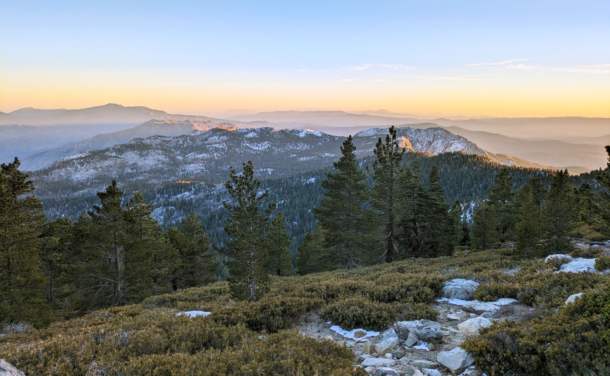
Climbing Mount San Jacinto on the Deer Springs Trail
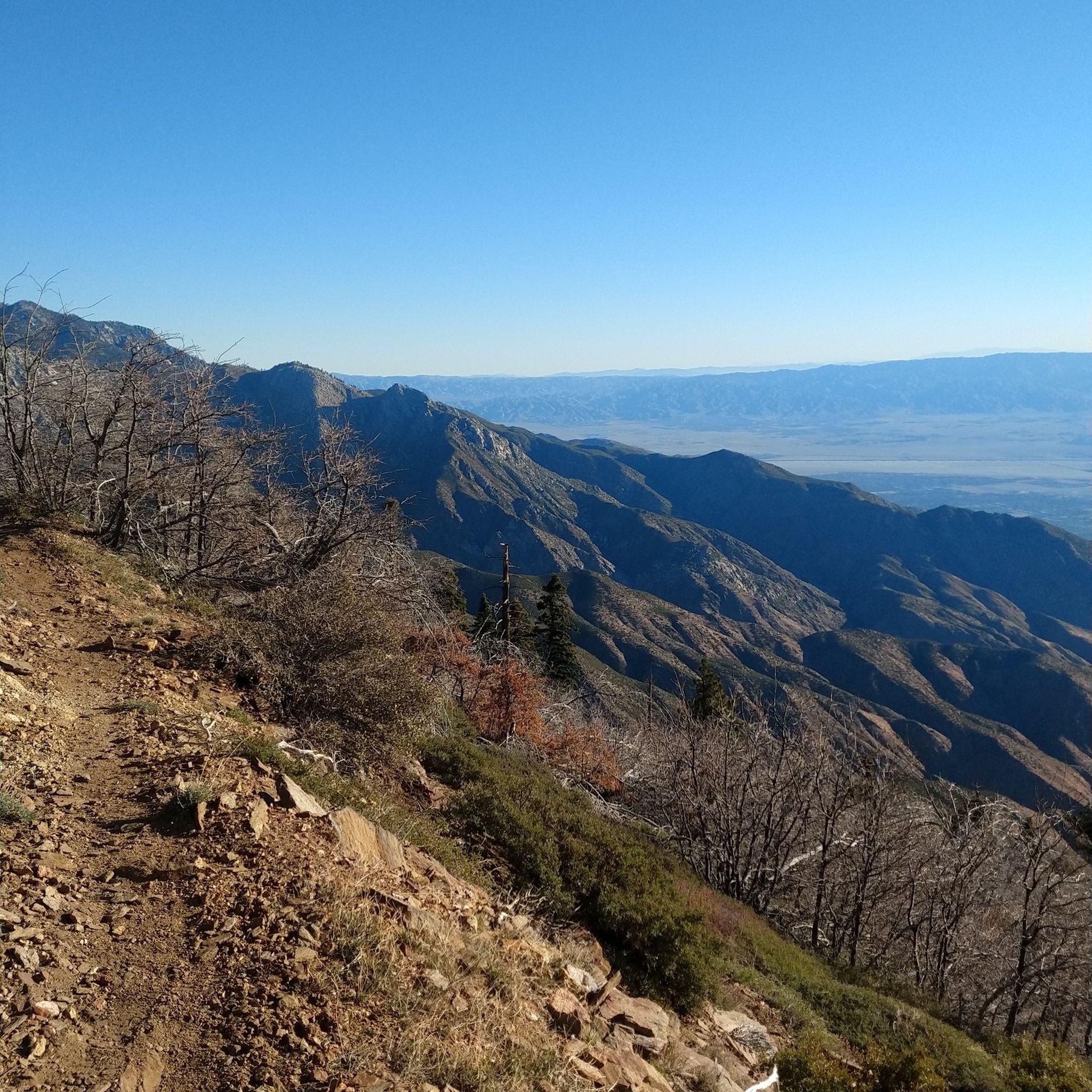
Hiking in Santa Rosa And San Jacinto National Monument
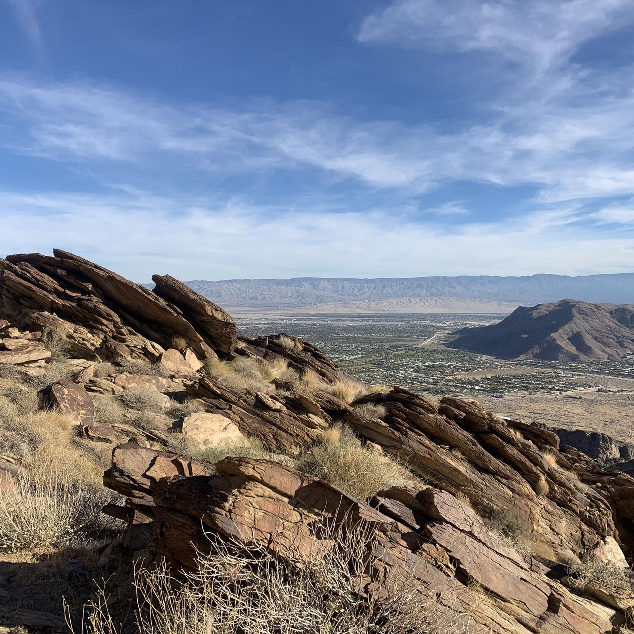
Running Trails in Santa Rosa And San Jacinto National Monument
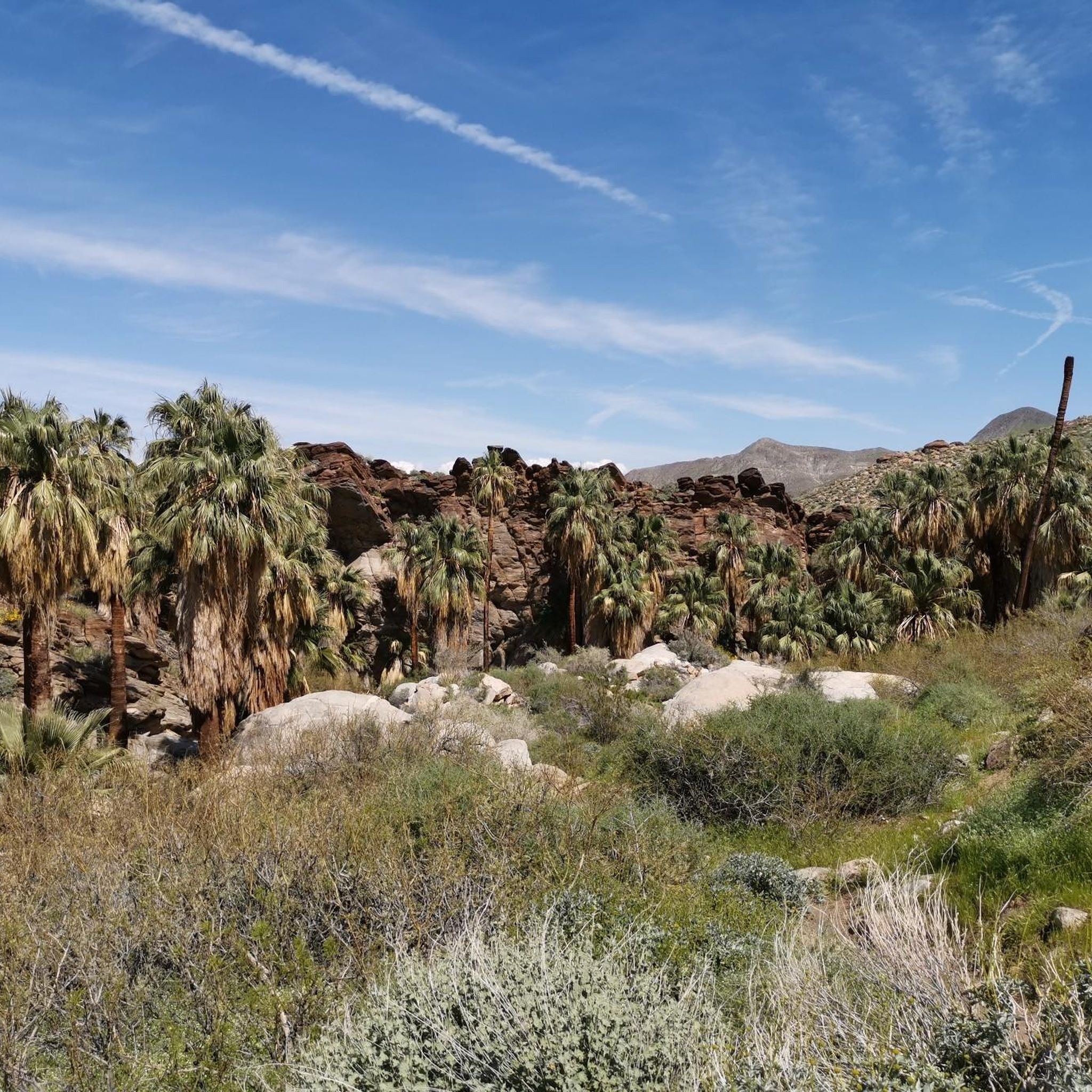
MTB Trails in Santa Rosa And San Jacinto National Monument
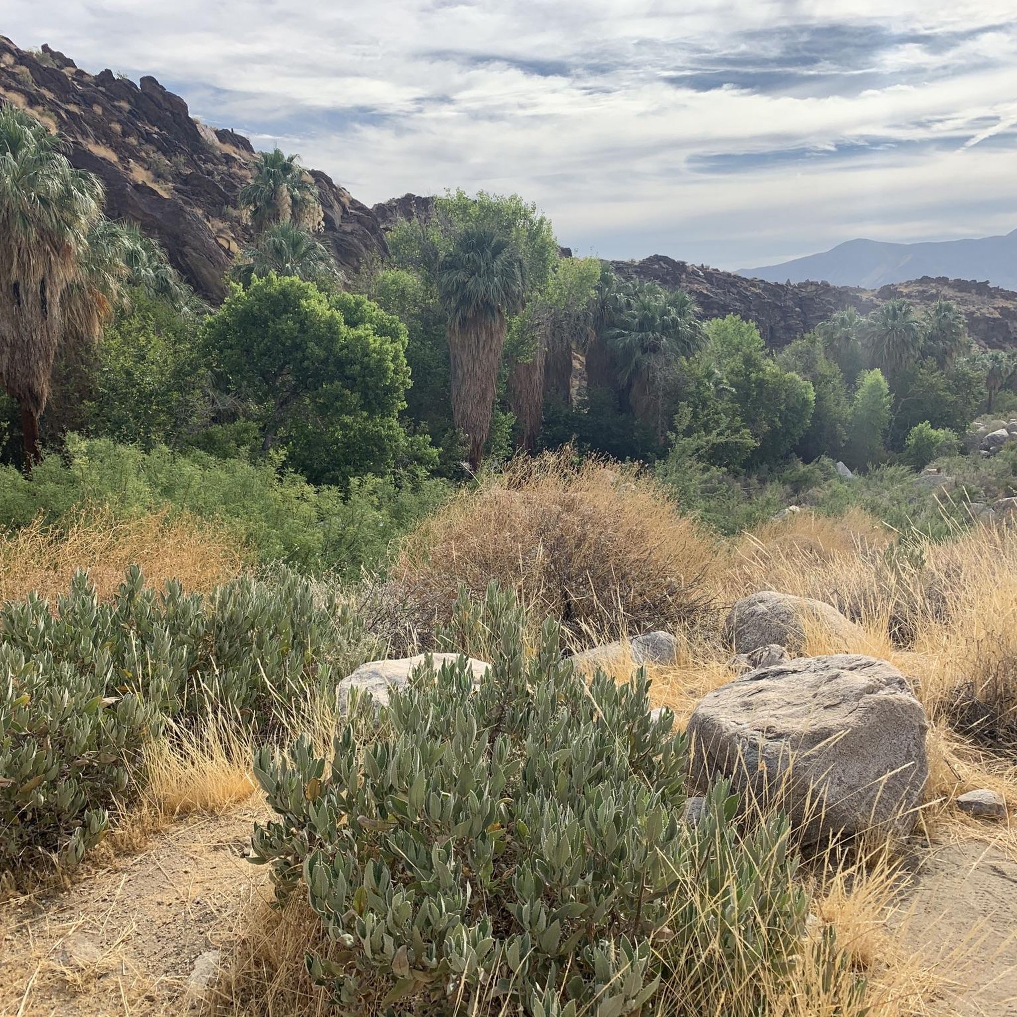
Cycling in Santa Rosa And San Jacinto National Monument
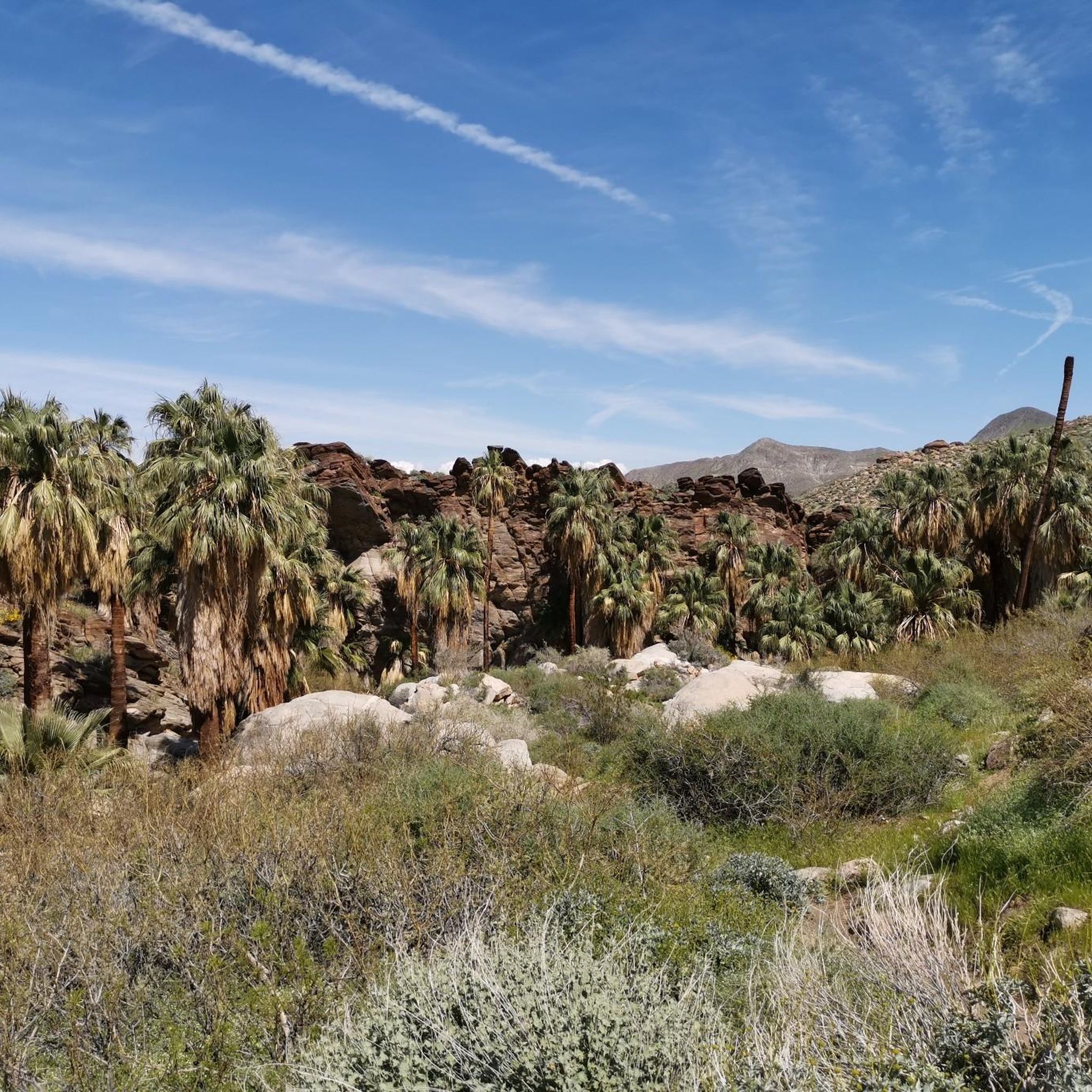
Road Cycling Routes in Santa Rosa And San Jacinto National Monument
Other adventures in Santa Rosa And San Jacinto National Monument


Tips from the Community

The Tahquitz Peak (2696m) is a well-known mountain peak in the San Jacinto Mountains with a historic "observation tower", no, rather a historic wooden tower from 1937, built by the Civilian Conservation Corps with the task that volunteer helpers use it during the summer months to watch out for forest fires. After all, it seems to be the longest continuously operated fire lookout tower in the entire National Forest. The trail - South Ridge Trail - begins at South Ridge Road/Forest Road 5S11 near Idyllwild. The final access is a rather rough gravel road. All-wheel drive and high ground clearance are definitely advantageous there; those who have such a vehicle park where the asphalt road turns into the gravel path, it's just 3 km longer (round trip). The trail itself is - depending on the parking lot - 11 to 14 kilometers long round trip (depending on the parking lot), always easy to walk, becoming significantly steeper in the (pre-)summit area and also more exposed to the sun. Once at the historic fire lookout tower, you have a fantastic 360-degree view of the surrounding mountains and deserts... and many small rocks to rest and look at. It's worth it!
0
0


Working your way uphill to this viewpoint is well worth the effort. Once you arrive take a few minutes to let your legs recover while enjoying the view across the valley and surrounding mountains. With a bit of luck you might even see some bighorn sheep along the hillside.
0
0

This viewpoint offers breathtaking views of the Santa Rosa Mountains. The journey is well worth it, as you'll be rewarded with sweeping panoramas of the desert.
0
0

The San Jacinto Wilderness is one of a kind. At an elevation of 10,834 feet, San Jacinto Peak towers high above the California desert. You can hike plenty of trails including a section along the long distance Pacific Crest Trail. There is an emergency hut beneath the summit and close by even a restaurant and an aerial tramway station that gets you into Palm Springs. To camp out, you need a wilderness permit (available at Park Headquarters in Idyllwild and the Valley Ranger Station on the Palm Springs Aerial Tramway side) for the area for 5 Dollars per person. If you have a longdistance permit for hiking the PCT, you do not have to obtain an additional permit. Here is some more information on that: parks.ca.gov/?page_id=636
1
0
With 10,883 feet, Mount San Jacinto is the highest peak in the San Jacinto Mountains. There is a network of hiking trails around the summit and the San Jacinto State Park itself. If the weather turns for the worst, you can find shelter in a little hut close to the summit. You can either take a hike from Idyllwild on the west side of the mountain or Palm Springs on the east side. There is also an aerial tramway you can use to get into the San Jacinto Wilderness. If you feel adventurous, you can cross the mountain range using the Pacific Crest Trail.
0
0

A pullout on the highway leads those needing to stretch their legs on a short hike to this lookout point with lots of plants along the way.
0
0
As you might expect, the Peak Trail leads you to the summit of Mount San Jacinto and the shelter hut below. There is snow very likely at least until late spring if not into early summer.
5
0
Frequently Asked Questions
What are some of the most popular mountain peaks to visit in Santa Rosa And San Jacinto National Monument?
Among the most popular peaks are San Jacinto Peak, which is the highest point in the monument, and Tahquitz Peak, known for its historic fire lookout. Visitors also appreciate Apache Peak, a short side trail from the Pacific Crest Trail offering great views.
How can I reach San Jacinto Peak, and what can I expect at the summit?
San Jacinto Peak can be accessed via hiking trails from Idyllwild or Palm Springs. A popular option is to take the Palm Springs Aerial Tramway, which ascends to 8,516 feet, significantly reducing the hiking effort to the 10,834-foot summit. At the top, you'll find stunning 360-degree panoramic views of the Greater Palm Springs area, the Coachella Valley, and on clear days, even Catalina Island. There's also an emergency hut near the summit for shelter.
What makes Tahquitz Peak a significant destination for visitors?
Tahquitz Peak, at 8,846 feet, is known for its prominent granite rock formations and a historic fire lookout tower built in 1937. This tower is often staffed by volunteers and offers expansive views. The peak also holds historical importance in the rock climbing community, as the Yosemite Decimal System for classifying climbing routes was developed here. It provides a moderately strenuous hiking experience through beautiful forests.
Are there any less-visited peaks or areas within the Santa Rosa Mountains?
The Santa Rosa Mountains, forming the southern part of the monument, are generally less visited than the San Jacinto range. They offer a contrasting experience with desert landscapes, palm oases, and unique flora and fauna. Notable peaks include Santa Rosa Peak, Rabbit Peak, and Martinez Mountain. The Santa Rosa Wilderness within this range provides numerous hiking opportunities and is home to the endangered Peninsular desert bighorn sheep.
What kind of wildlife can I expect to see in the Santa Rosa And San Jacinto National Monument peaks?
The diverse ecosystems, from desert to subalpine forests, support various wildlife. In the higher elevations around San Jacinto Peak, you might spot lodgepole, ponderosa, and Jeffrey pines, along with associated forest wildlife. The Santa Rosa Mountains are particularly known for being home to the endangered Peninsular desert bighorn sheep. The entire monument is a habitat for a variety of desert and mountain species.
What are the best times of year to visit the mountain peaks in this monument?
The cooler temperatures at higher elevations offer a welcome escape from the desert heat, making spring and fall ideal for hiking. Spring also brings opportunities for wildflower viewing. In winter, the higher peaks like San Jacinto offer snow activities, but trails can be very dangerous and require proper gear. Summer can be very hot at lower elevations, so early morning starts are recommended.
Are there family-friendly hiking options among the peaks?
While many peaks offer challenging ascents, there are options for families. For instance, the Cahuilla Tewanet Vista Point is noted as family-friendly. For easier hikes in the broader monument area, you can explore routes like The Cross Trail or Andreas Canyon Loop Trail, which are listed in the Easy hikes in Santa Rosa And San Jacinto National Monument guide.
What permits are required for hiking or camping in the San Jacinto Wilderness area?
For hiking to Tahquitz Peak or within the San Jacinto Wilderness, you need to obtain a free wilderness permit. These are available from the Ranger Station in Idyllwild or the Valley Ranger Station on the Palm Springs Aerial Tramway side. For camping, a wilderness permit costs $5 per person. If you have a long-distance permit for hiking the Pacific Crest Trail, you generally do not need an additional permit.
What outdoor activities, besides peak bagging, can I do near these mountain peaks?
Beyond summiting peaks, the region offers a variety of outdoor activities. You can find numerous running trails, such as the Tahquitz Canyon Loop Trail, detailed in the Running Trails in Santa Rosa And San Jacinto National Monument guide. There are also many hiking opportunities, from easy strolls to challenging routes, and mountain biking trails like the Palm Canyon Epic, which you can explore in the MTB Trails in Santa Rosa And San Jacinto National Monument guide.
What cultural or historical significance do these mountains hold?
The Santa Rosa and San Jacinto Mountains hold deep spiritual and cultural significance for the ancestral Cahuilla Indians, with many archaeological sites found throughout the region. Tahquitz Peak is steeped in Cahuilla Indian legends, and its historic fire lookout tower from 1937 is a notable man-made landmark. The diverse ecosystems also reflect a long history of natural processes.
Where can I find shelter or facilities when hiking in the higher elevations?
Near the summit of San Jacinto Peak, there is an emergency hut known as the San Jacinto Summit Hut Shelter, which provides basic shelter with four bunk beds. This is primarily intended for emergencies, though PCT thru-hikers sometimes use it overnight. Additionally, the Palm Springs Aerial Tramway's Mountain Station offers facilities including a restaurant.
Are there mountain biking trails available in the Santa Rosa And San Jacinto National Monument?
Yes, the monument offers several mountain biking opportunities. Trails like the Palm Canyon Epic, Cathedral City Loop, and Hopalong Cassidy Loop provide varying levels of difficulty for mountain bikers. You can find more details and routes in the MTB Trails in Santa Rosa And San Jacinto National Monument guide.
Most popular routes in Santa Rosa And San Jacinto National Monument
Most popular attractions in Santa Rosa And San Jacinto National Monument

Get inspired with the komoot mobile app


Didn’t find what you were looking for?
Discover Santa Rosa And San Jacinto National Monument’s best peaks and summits by region:
Explore more
See even more amazing summits in Santa Rosa And San Jacinto National Monument with these guides:
