The best MTB trails in Payette National Forest
5.0
(3)
134
riders
10
rides
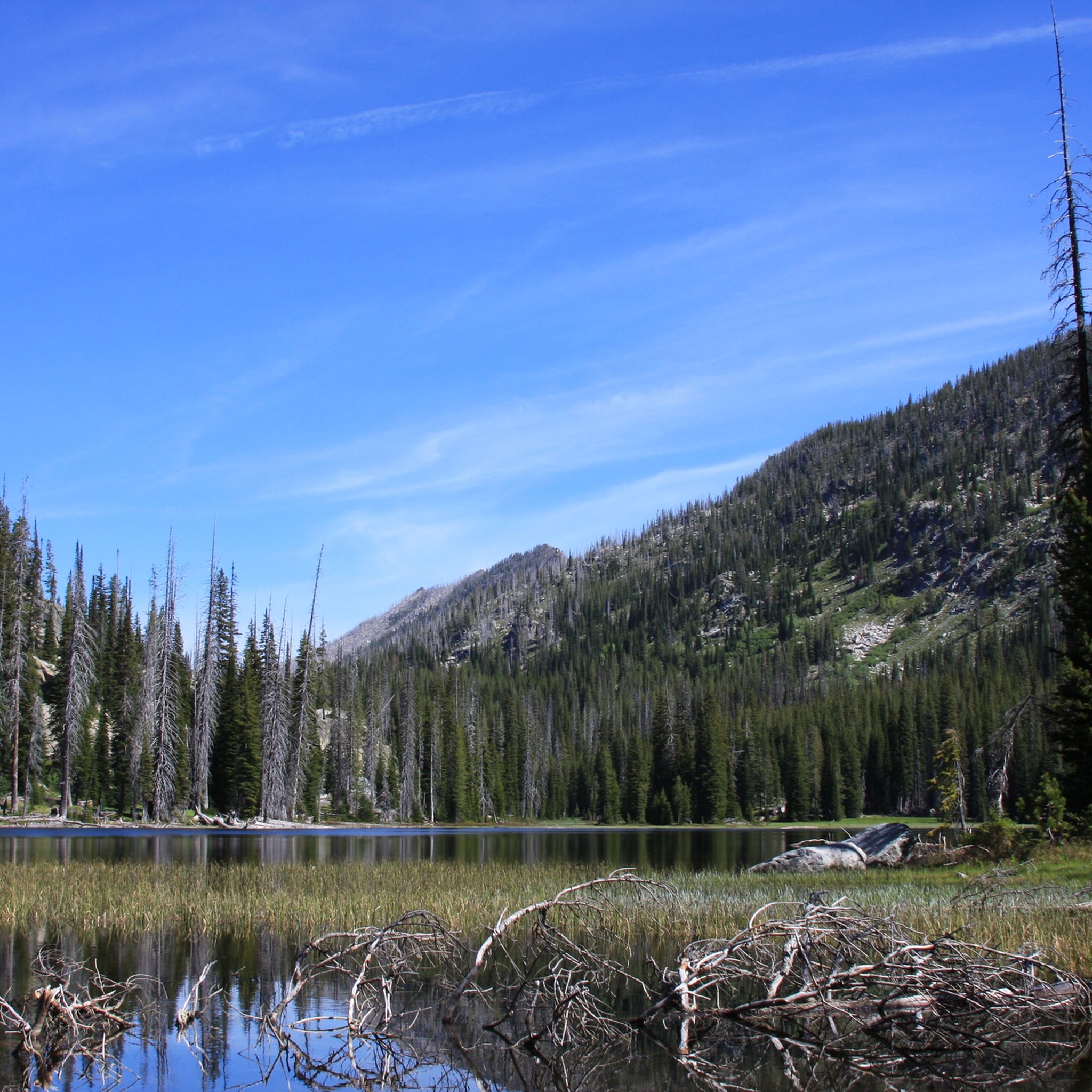
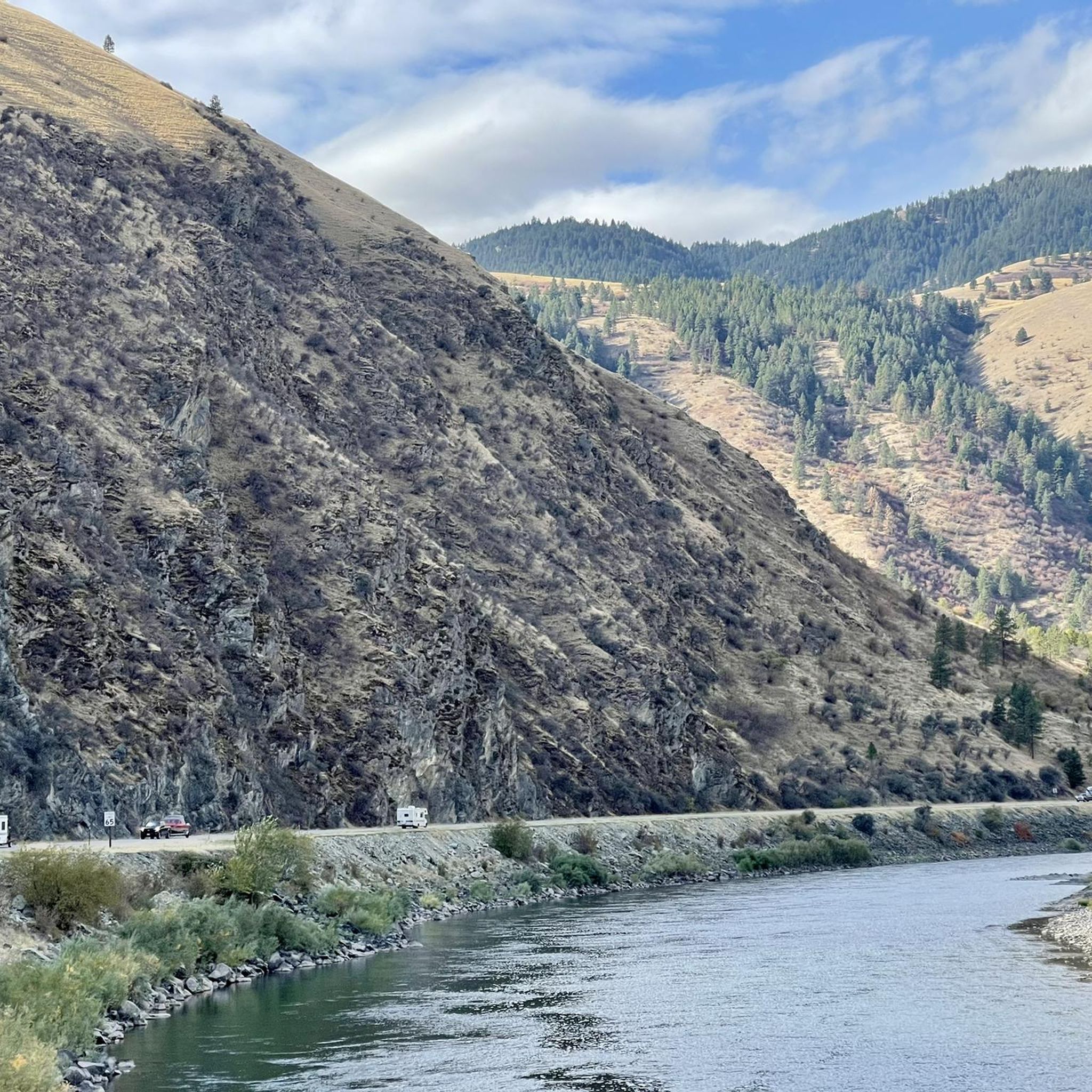
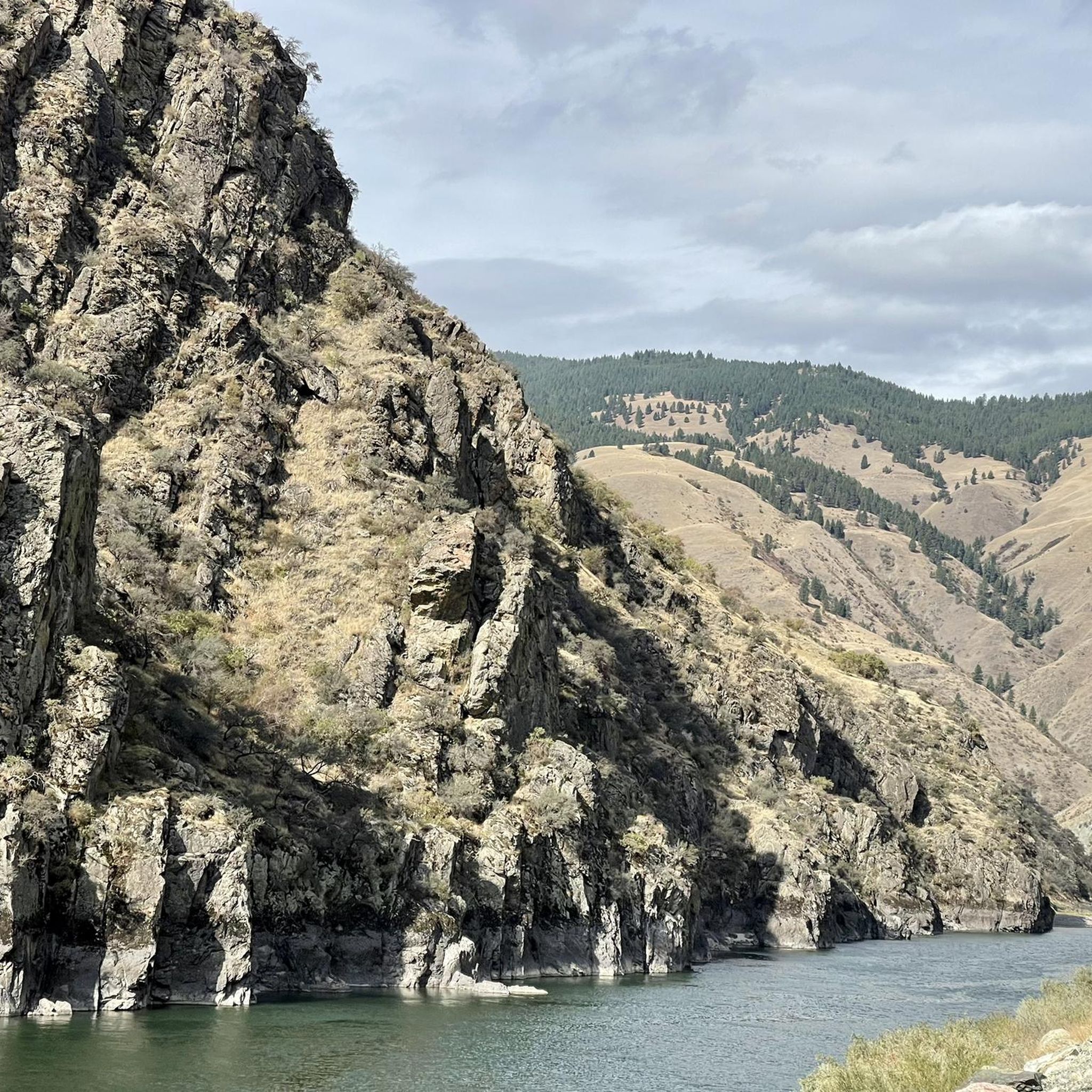
Mountain biking in Payette National Forest offers diverse landscapes and extensive trail systems across west-central Idaho. The terrain ranges from arid grasslands to dense conifer forests and snow-capped peaks, with elevations reaching nearly 9,500 feet. This varied environment provides a wide array of mountain bike trail terrain, including challenging climbs and scenic descents. The forest is characterized by its mountains, rivers like the Salmon and Payette, and numerous pristine lakes.
Best mountain bike trails in Payette National Forest
- The most…
Last updated: May 17, 2026
6
riders
31.2km
01:58
220m
220m
Easy mountain bike ride. Great for any fitness level. Suitable for all skill levels.
4
riders
43.6km
03:34
600m
600m
Moderate mountain bike ride. Good fitness required. Suitable for all skill levels.

Sign up for free
18
riders
8.80km
01:02
300m
300m
Hard mountain bike ride. Good fitness required. Advanced riding skills necessary. Some portions of the route may require you to push your bike.
9
riders
20.7km
01:32
190m
190m
Easy mountain bike ride. Great for any fitness level. Suitable for all skill levels.
4
riders
11.7km
01:17
300m
280m
Experience challenging mountain biking at Jug Mountain Ranch, a 7.2-mile difficult trail with 972 feet of elevation gain and reservoir views
Get access to more routes and recommendations from other explorers.
Sign up for free
Already have an account?
Our route recommendations are based on thousands of hikes, rides, and runs completed by other people on komoot.
Start today with a free account
Your next adventure awaits.
Login or Signup
Popular around Payette National Forest
Tips from the Community

The Peter T. Johnson Trail leads to the northern beaches of Payette Lake, which is the perfect spot for relaxing on the water and spotting wildlife. The crowds are usually closer to town at the southern beaches.
0
0

Huckleberry Trail is mostly singletrack running along the eastern shore of Payette Lake.
0
0

Snack spot! Oh and it's lovely by the water.
1
0
Frequently Asked Questions
What kind of terrain can I expect on mountain bike trails in Payette National Forest?
The terrain in Payette National Forest is incredibly varied, ranging from arid desert grasslands to dense conifer forests and majestic snow-capped peaks. You'll encounter everything from easy, flat routes through meadows to challenging singletrack with steep sections, rocks, and roots, especially around areas like the Bear Basin Network and Payette Lake.
Are there mountain bike trails suitable for beginners or families in Payette National Forest?
Yes, Payette National Forest offers several options for beginners and families. The Bear Basin Network near McCall has trails like "Baby Bear" designed for easier riding. Additionally, komoot features easy routes such as the North Beach, Payette Lake loop from Shellworth Island and the Huckleberry Trail loop from Barbara Morgan Elementary School, which are great for less experienced riders.
What are some scenic mountain bike trails or routes with great views?
For stunning views, the North Beach, Payette Lake loop from Shellworth Island offers picturesque vistas of Payette Lake. The Payette Lake Trail itself provides riders with beautiful lake views and technical features. The Crestline Trail #109 is also renowned for passing multiple scenic lakes like Pearl Lake, Brush, Heart, Sisters, Buck, and Blackwell Lakes.
Are there any loop trails for mountain biking in Payette National Forest?
Yes, many trails in Payette National Forest are designed as loops. For example, the Rolling Rock Trail loop from Hollenbeak Dam is a popular option that takes you through forested areas. Other notable loops include the Loon Lake Loop and the various circuits within the Bear Basin Network.
What kind of natural features or landmarks can I see along the trails?
Payette National Forest is rich in natural beauty. You can encounter pristine lakes like Pearl Lake, and rivers such as the Salmon and Payette. The forest also features diverse vegetation, including ponderosa pine and Douglas fir. For specific points of interest, the Lake Fork Trailhead and Allison Creek Trail are popular starting points for exploration.
What is the best time of year to go mountain biking in Payette National Forest?
The mountain biking season in Payette National Forest typically runs from late spring through early fall. Summer offers the most consistent conditions, but spring and fall can provide cooler temperatures and vibrant scenery. It's always advisable to check local trail conditions before heading out, as maintenance varies annually and higher elevations may retain snow longer.
Are there any lift-assisted mountain biking options in the area?
Yes, for those looking for lift-assisted riding, Brundage Mountain Resort offers over 30 miles of trails for all skill levels, including a 12-mile cross-country epic that connects to the Bear Basin network. Tamarack Resort is another option providing lift-serviced trails and multi-use meadows trails.
Where can I find parking for mountain bike trails in Payette National Forest?
Parking availability varies by trailhead. Many popular trail networks, such as the Bear Basin Network near McCall, have designated parking areas. For specific routes, it's recommended to check the route details on komoot or local forest service maps, as some trailheads might have limited space.
What do other mountain bikers enjoy most about Payette National Forest?
The area is highly rated by the komoot community, with an average score of 5.0 stars. Reviewers often praise the diverse landscapes, the extensive trail systems catering to all skill levels, and the stunning natural backdrop of mountains, rivers, and pristine lakes. The variety of terrain, from easy singletrack to challenging descents, is frequently highlighted.
Are there any amenities like cafes or accommodation near the mountain biking trails?
The town of McCall, located within the Payette National Forest, serves as a regional hub and offers a range of amenities. You'll find outfitters for bike rentals and service, as well as various cafes, restaurants, and accommodation options to support your mountain biking trip.
Are there any historical sites or unique points of interest to explore?
While the forest is primarily known for its natural beauty, there are unique points of interest. For instance, the B23 Bomber Crash Site offers a glimpse into local history. Exploring the diverse geological history, marked by ancient volcanic activity, also adds to the mystique of the region.
Most popular attractions in Payette National Forest

Get inspired with the komoot mobile app


Explore more
Browse the best MTB trails in other regions.
