The best walks and hikes around Höytämönjärvi
4.4
(130)
2,353
hikers
177
hikes
Hiking around Höytämönjärvi offers access to a network of trails in Lempäälä, Pirkanmaa, Finland, centered around the sizable Höytämönjärvi lake. The region features diverse Finnish forest and lake scenery, with varied terrain including rocky ridges, open areas, and tranquil lakeshores. Lehtivuori Hill, rising over 50 meters above Höytämönjärvi's Helininlahti bay, provides elevation, while other shores are also noted for their steepness. Paths include stony and smooth sections, along with duckboards over moist ground.
Best hiking trails around Höytämönjärvi
- The most…
Last updated: August 26, 2026
14
hikers
Easy hike. Great for any fitness level. Easily-accessible paths. Suitable for all skill levels.
1
hikers
Moderate hike. Good fitness required. Mostly accessible paths. Sure-footedness required.

Sign up for free
4
hikers
1.83km
00:28
10m
10m
Easy hike. Great for any fitness level. Easily-accessible paths. Suitable for all skill levels.
9
hikers
2.79km
00:43
10m
10m
Easy hike. Great for any fitness level. Easily-accessible paths. Suitable for all skill levels.
5.0
(1)
8
hikers
9.45km
02:26
40m
40m
Moderate hike. Good fitness required. Easily-accessible paths. Suitable for all skill levels.
Get access to more routes and recommendations from other explorers.
Sign up for free
Already have an account?
Our route recommendations are based on thousands of hikes, rides, and runs completed by other people on komoot.
Start today with a free account
Your next adventure awaits.
Login or Signup
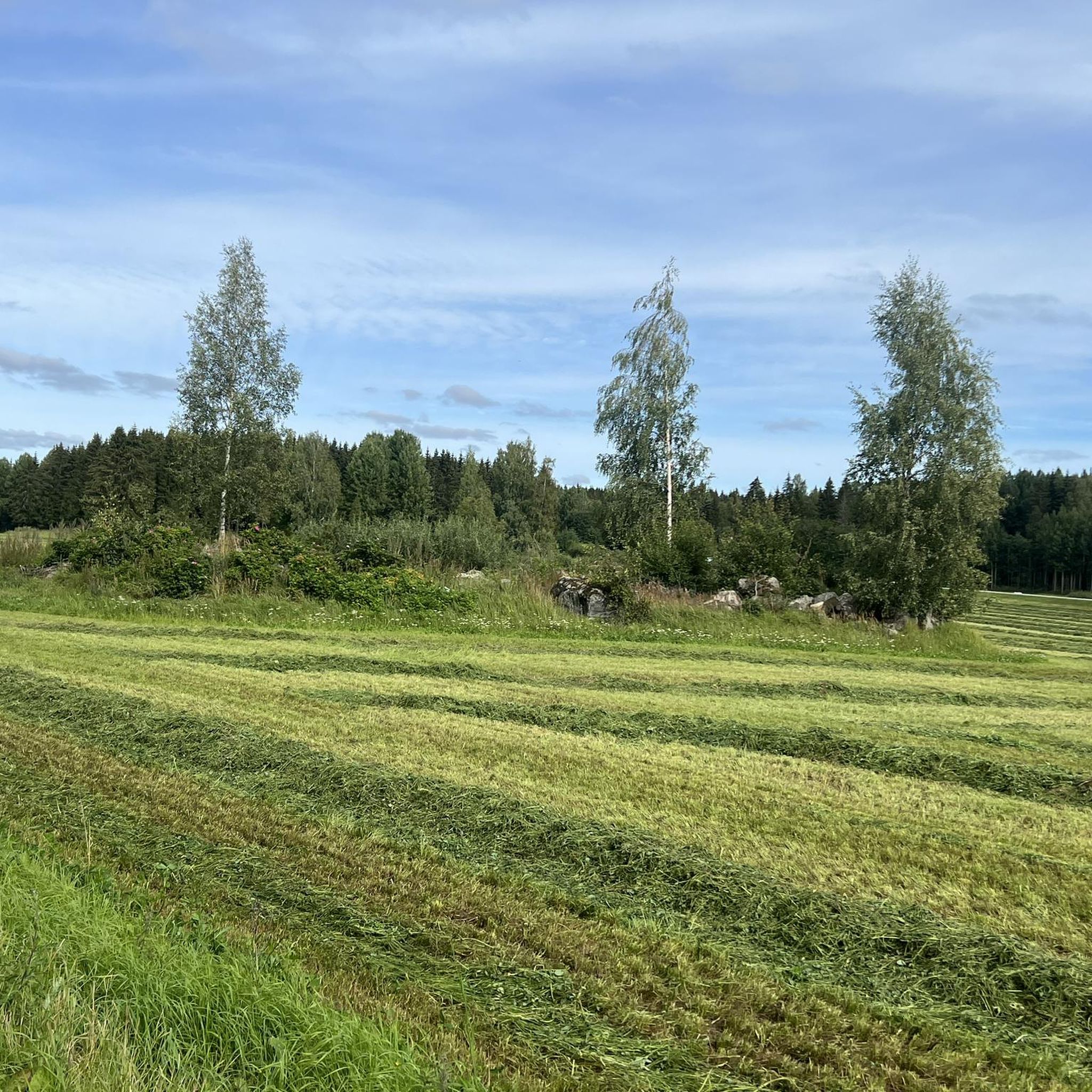
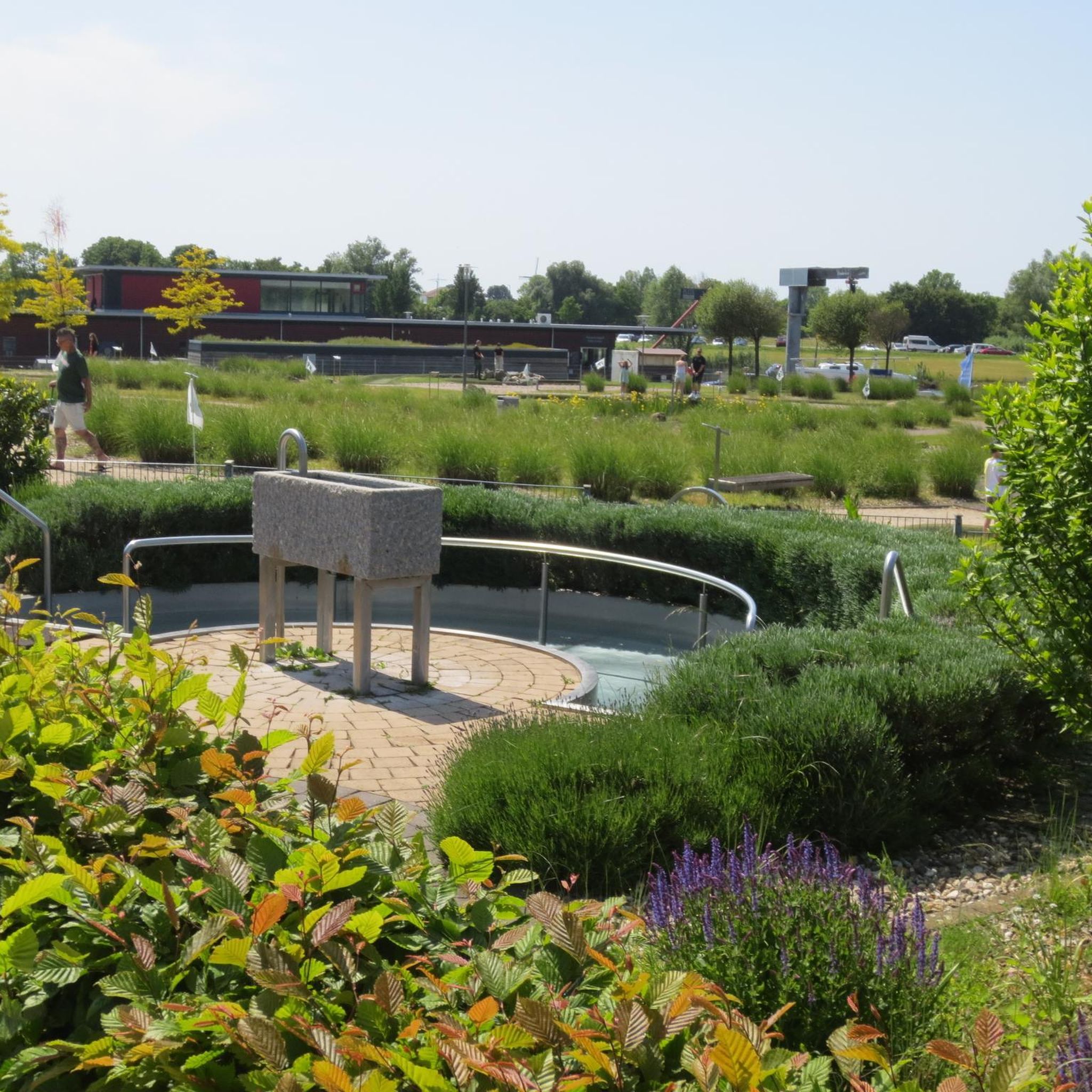

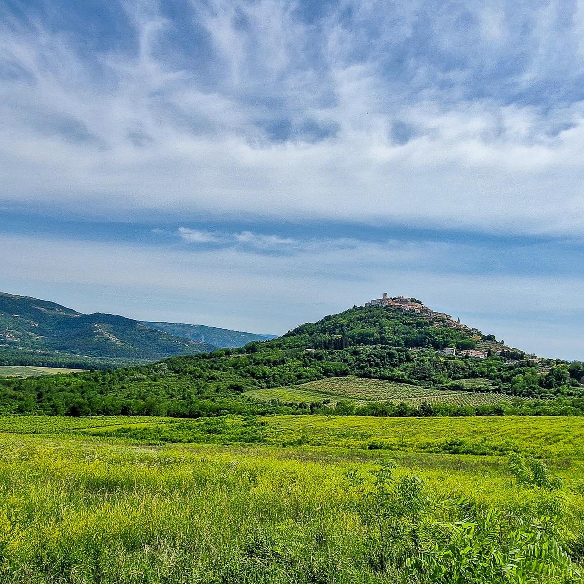
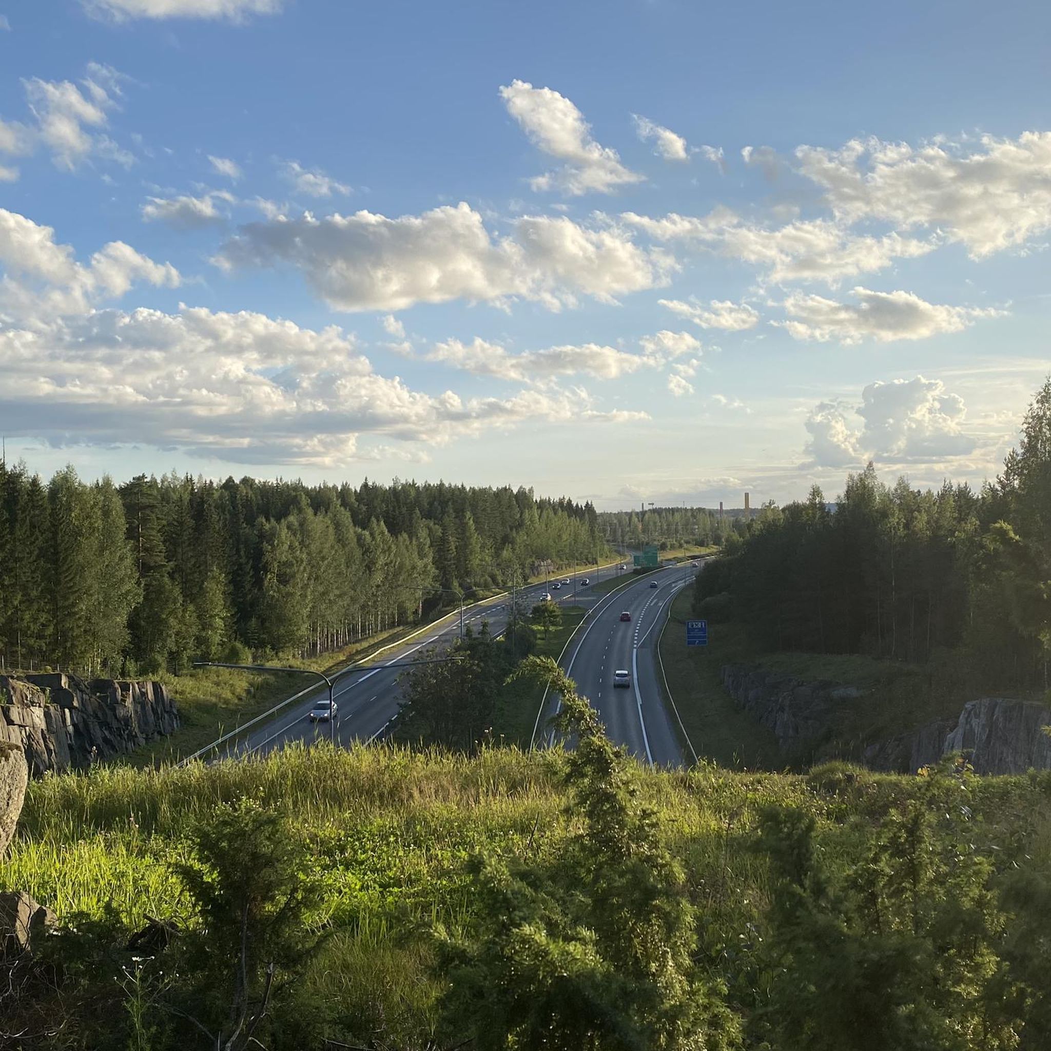
Tips from the Community

A beautiful path leads around the lake, with informative display boards about the landscape, animals, and plants.
0
0

Awesome section of the nature trail with stairs and a beautiful view of the lake Suolijärvi.
0
0
Nice and easy circular trail which runs almost exclusively along the lakeshore.
0
0

Small beach with pier for swimming. There is also a sauna and a beach-volleyball field.
0
0

There are trail markers for the Birgitan Polku Trail at regular intervals
0
0
There are trail markers for the Birgitan Polku Trail at regular intervals
0
0
There are trail markers for the Birgitan Polku Trail at regular intervals
0
0
A beautiful spot with two shelters, fire pits, and dry toilets.
0
0
Frequently Asked Questions
How many hiking trails are available around Höytämönjärvi?
There are over 180 hiking routes around Höytämönjärvi, offering a wide range of options for different skill levels. The area is well-known for its diverse Finnish forest and lake scenery, primarily centered around the Birgitta Trail.
What kind of terrain can I expect on the trails around Höytämönjärvi?
Hikers can expect varied terrain, including stony and smooth paths, rocky ridges, and open areas. Some sections feature duckboards and footbridges to navigate moist ground and small swamp areas. You might also encounter 'Devil's fields' (pirunpellot), which are large stony areas.
Are there any family-friendly hiking options near Höytämönjärvi?
Yes, many trails are suitable for families. For an easy and relatively short option, consider the Birgitan Polku Trail Signpost – Kirskaanniemi Shelter Area loop from Annisto, which is about 5.1 km long and takes just over an hour. It connects key points along the Birgitta Trail.
Can I bring my dog on the hiking trails around Höytämönjärvi?
Generally, dogs are welcome on hiking trails in Finland, but they should always be kept on a leash to protect wildlife and ensure the safety of other hikers. Always check local signage for any specific restrictions, especially in nature reserves or protected areas.
Are there any notable landmarks or viewpoints along the trails?
Yes, the area offers several points of interest. You can find Lehtivuori Hill, which rises over 50 meters above Höytämönjärvi's Helininlahti bay, potentially offering views. Kirskaanniemi is another popular spot along the Birgitta Trail with a renovated path and a rest stop. The trail is also named after the 500-year-old St. Birgit Memorial Church of Lempäälä.
What is the best time of year to hike in Höytämönjärvi?
The hiking season typically runs from spring to autumn, when the weather is mildest. Spring brings luxuriant groves with anemone hepatica and wood anemones. However, winter hiking is also possible; the frozen lake itself can offer a unique 10km foot/bike path, providing a different outdoor experience.
Are there facilities like rest areas or campfire sites available?
Yes, along the Birgitta Trail, which is the main hiking network in the area, you'll find numerous rest areas. These include huts and traditional Finnish laavus (lean-tos) for overnight camping, as well as designated campfire sites where firewood is often available, enhancing the hiking experience.
How difficult are the hikes around Höytämönjärvi?
The trails cater to various fitness levels. Out of 180 routes, 121 are rated as easy, 54 as moderate, and 5 as difficult. This means there are plenty of options for casual strolls as well as more challenging expeditions. A moderate option is the Kirskaanniemi Shelter Area – Birgitan Polku Trail Signpost loop from Paunu, an 11.5 km path through varied Finnish forest and lake landscapes.
Are there any circular hiking routes in the Höytämönjärvi area?
Yes, the region is known for its circular routes, most notably the Birgitta Trail itself, which is a 50-kilometer circular trekking route. Many shorter loops are also available, such as the Lake Koukkujärvi Nature Trail loop from Vuores, an easy 2.8 km option.
What do other hikers say about the trails in Höytämönjärvi?
The area is highly rated by the komoot community, with an average score of 4.6 stars from over 100 reviews. Hikers often praise the diverse forest and lake scenery, the varied terrain, and the well-maintained facilities along the Birgitta Trail, making it a rewarding destination for outdoor activities.
Is there public transport available to reach the hiking trails?
While specific public transport routes directly to all trailheads might vary, Lempäälä, where Höytämönjärvi is located, has public transport connections. For detailed and up-to-date information on bus schedules and stops that might serve the trail access points, it's best to consult local transport authorities or the Visit Lempäälä website: visitlempaala.fi.
Where can I find parking for the hiking trails around Höytämönjärvi?
Parking is generally available at various access points along the Birgitta Trail and other popular routes. Specific parking areas are often indicated on local trail maps. For example, routes like the Birgitan Polku Trail Signpost – Kirskaanniemi Shelter Area loop from Vuores typically have designated starting points with parking facilities.
Are there any longer, more challenging hikes available?
Yes, for those seeking a longer experience, the full Birgitta Trail is a 50-kilometer circular route. While not all of it is difficult, it offers a significant trekking challenge. A substantial moderate option is the Suolijärvi Beach – Suolijärvi nature trail loop from Vuores, which is about 9.5 km long and takes around 2.5 hours to complete.
Most popular routes around Höytämönjärvi

Get inspired with the komoot mobile app


Explore more
Browse the best Hikes in other regions.
