The best cycling routes in Mendocino National Forest
4.5
(5)
161
riders
29
rides
Touring cycling in Mendocino National Forest offers routes through diverse landscapes, spanning nearly one million acres with elevations from near sea level to over 7,000 feet. The region features an extensive trail network, including paths along canyons, rivers, and through mountainous terrain. Cyclists can experience varied ecosystems and scenery, from wildflowers in spring to dense forest sections.
Best touring cycling routes in Mendocino National Forest
- The most popular touring cycling route is Tree Seed Hazard – Certified Farmers' Market loop from Chico Mall, a 21.6 miles (34.7 km) trail that takes 1 hour 59 minutes to complete. This easy route offers a straightforward cycling experience.
- Another top favourite among local touring cyclists is South Rim Trail – Annie Bidwell Trail loop from Chico, a difficult 17.6 miles (28.3 km) path. This route features significant elevation gain and varied terrain.
- Local touring cyclists also love the North rim trail entrance – Middle Trail loop from Chico, a 12.9 miles (20.8 km) trail leading through parkland and natural areas, often completed in about 1 hour 41 minutes.
- Touring cycling in Mendocino National Forest is defined by canyon views, riverside rides, and mountainous terrain. The network offers options for different ability levels, from easy paths to more challenging routes with considerable elevation changes.
- The routes in Mendocino National Forest are highly rated by the komoot community with an average score of 4.8 stars from 4 reviews. More than 100 touring cyclists have used komoot to explore Mendocino National Forest's varied terrain.
Last updated: October 1, 2026
19
riders
Easy bike ride. Great for any fitness level. Mostly paved surfaces. Suitable for all skill levels.
9
riders
34.8km
01:59
40m
40m
Easy bike ride. Great for any fitness level. Mostly paved surfaces. Suitable for all skill levels.

10
riders
31.1km
02:45
470m
470m
Hard bike ride. Very good fitness required. Mostly paved surfaces. Suitable for all skill levels.
10
riders
19.9km
01:31
110m
110m
Easy bike ride. Great for any fitness level. Mostly paved surfaces. Suitable for all skill levels.
10
riders
28.3km
02:35
490m
490m
Hard bike ride. Very good fitness required. Mostly paved surfaces. Suitable for all skill levels.
Get access to more routes and recommendations from other explorers.
Already have an account?
Our route recommendations are based on thousands of hikes, rides, and runs completed by other people on komoot.
Start today with a free account
Your next adventure awaits.

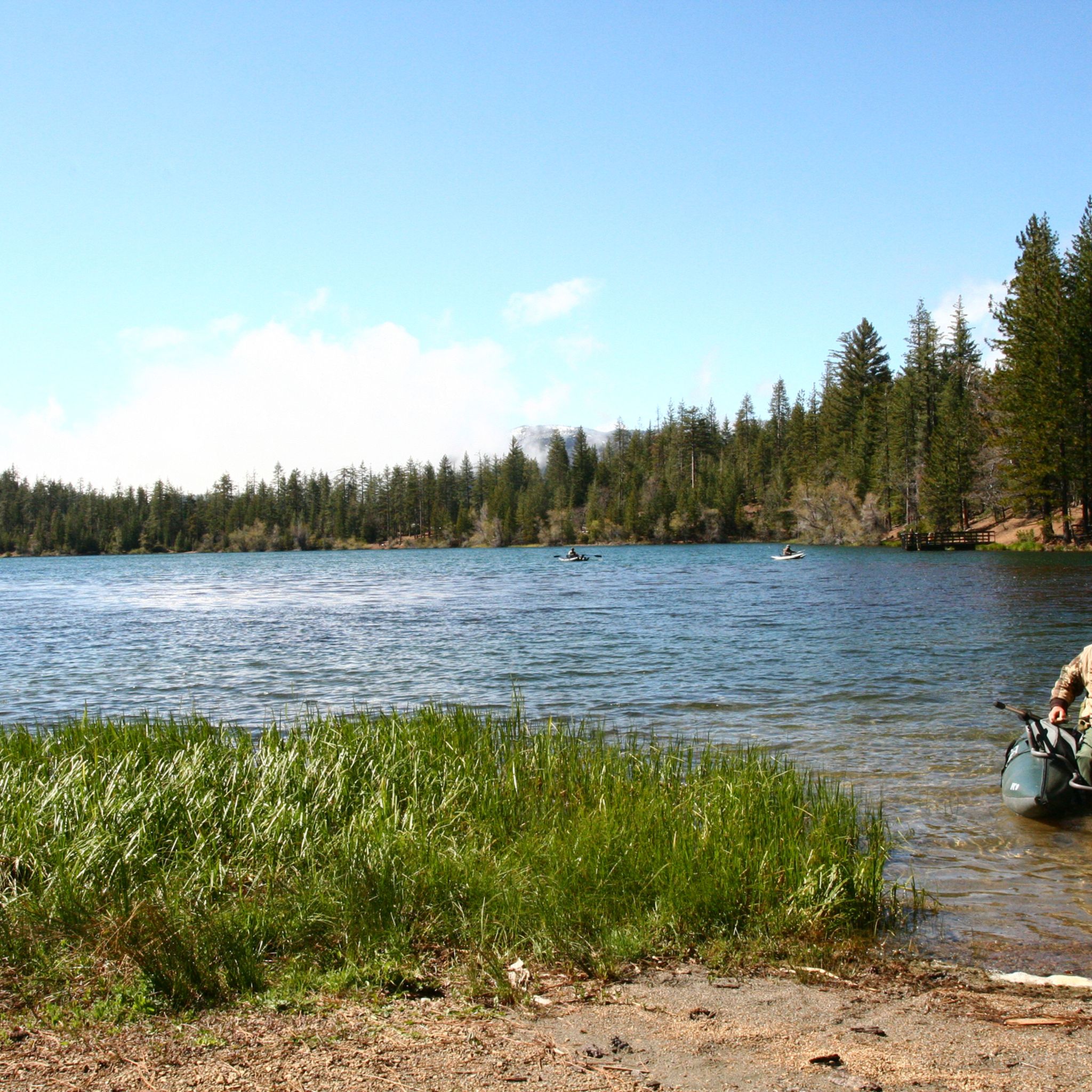
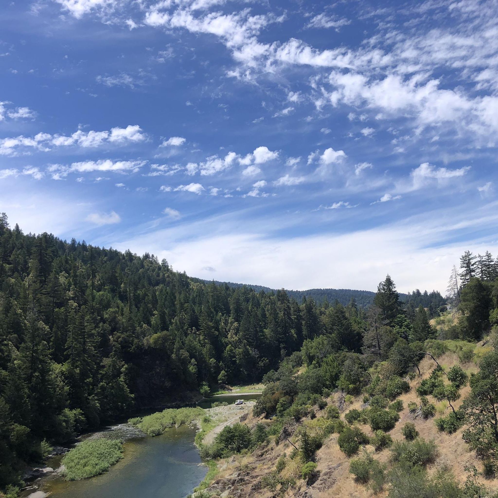
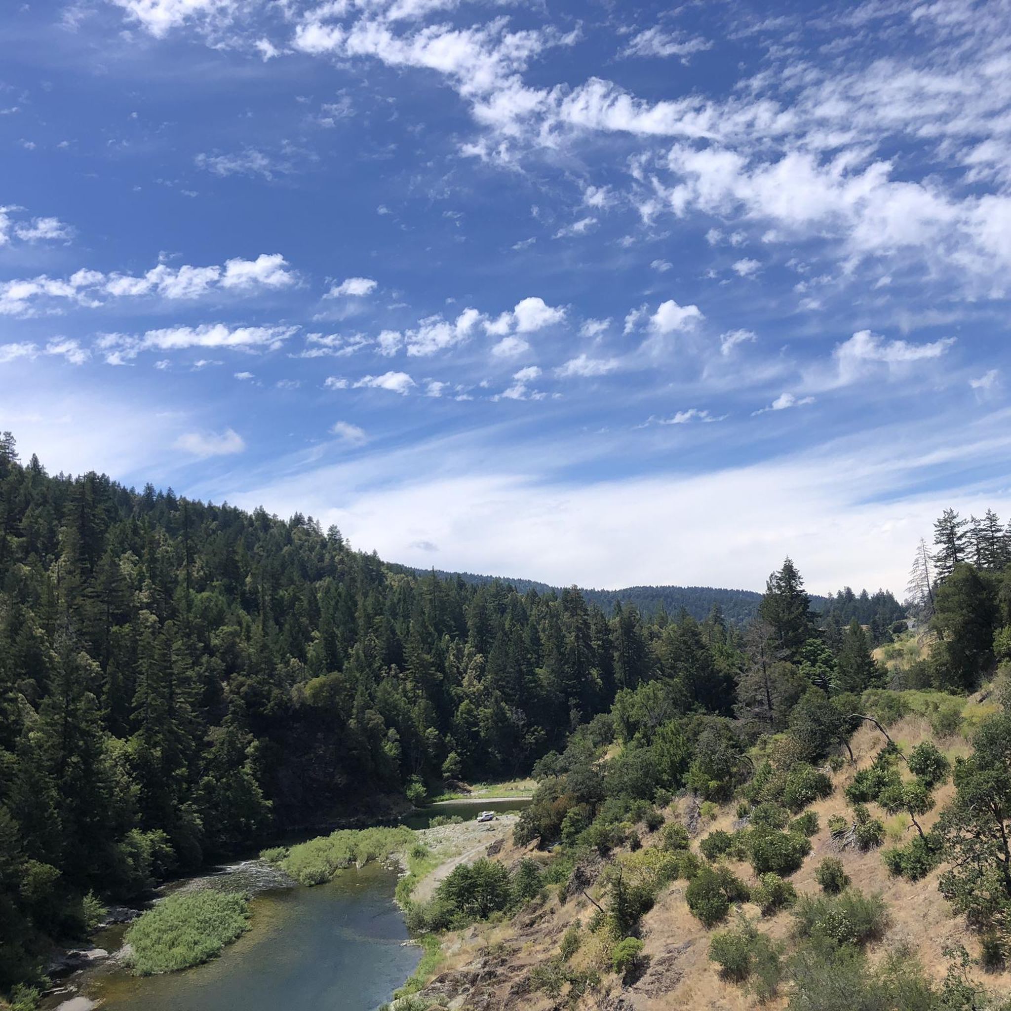
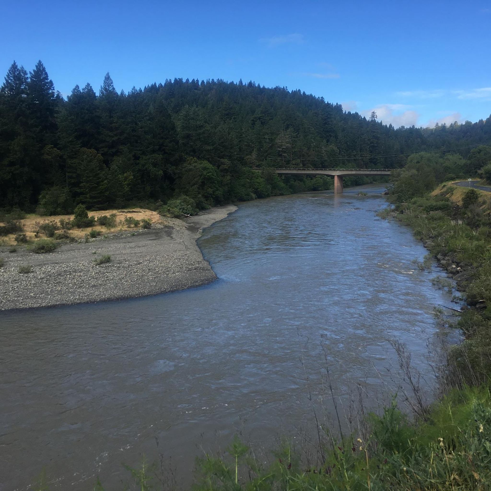
Other adventures in Mendocino National Forest

Tips from the Community

There are some trees right here that drop big round seed pods during certainly seasons, and they can be hazardous for bicycle handling.
1
0
when approaching the roundabout, if you wish to use protected intersection design, turn right into the inlet before the junction, then use the crosswalks as needed.
1
0

The South Rim Trail is a lovely combination of dirt and gravel, boasting spectacular views of Chico Canyon. Portions of the trail run alongside the river, creating a soothing backdrop as you immerse yourself in the scenery. This trail is popular with runners and mountain bikers, so keep an eye out as you enjoy exploring this beautiful trail.
0
0
This junction offers several options to continue exploring the park. From here, you can take the Yahi Trail to extend your hike and connect with other trails, head southwest to complete a loop, or go northeast and take a swim in Bear Hole, just a short .3-mile detour.
0
0
The North Rim Trail is one of the longest trails in the park and connects to several other trails for multiple options to explore, although it is fantastic on its own as an out-and-back. The path provides stunning views of the park from different angles as it follows its edge and gains elevation. At the trail's end, there's a rocky lookout point with spectacular views of Horseshoe Lake and the distant Sutter Buttes, perfect for a stop to take in the beautiful scenery.
0
0
This multi-use trail runs along Big Chico Creek, boasting stunning canyon views and spectacular wildflowers, especially in spring. There is plenty of shade along the way, making it an ideal choice for hot days. It is a popular path for hikers, mountain bikers, and runners alike, so you'll likely see plenty of others enjoying this scenic path.
0
0
This gravel road runs through the park and provides access to several trails in the park. You can walk along this road and enjoy the scenery, or take a side trail to loop back around. Several parking areas are located along this stretch, making access convenient for enjoying the park.
0
0
Frequently Asked Questions
How many touring cycling routes are available in Mendocino National Forest?
Mendocino National Forest offers a wide selection of touring cycling routes, with over two dozen options available on komoot. These routes traverse diverse landscapes, from canyon views to riverside paths and mountainous terrain, catering to various preferences and skill levels.
What types of terrain can I expect on touring cycling routes in Mendocino National Forest?
Cyclists can expect a variety of terrain, including combinations of dirt and gravel paths. The forest's diverse ecosystems offer continuously changing scenery, from trails along canyons and rivers to routes through mountainous areas with significant elevation changes. While most areas are open to biking, some trails may be unmaintained with loose rocks, ruts, and steep drop-offs.
Are there easy touring cycling routes suitable for beginners or families?
Yes, Mendocino National Forest has several easy touring cycling routes perfect for beginners or families. For instance, the Tree Seed Hazard – Certified Farmers' Market loop from Chico Mall is an easy 21.6-mile route. Another accessible option is the North rim trail entrance – Middle Trail loop from Chico, which is 12.9 miles long and leads through parkland and natural areas.
Are there challenging touring cycling routes for experienced riders?
Absolutely. For experienced touring cyclists seeking a challenge, Mendocino National Forest offers routes with considerable elevation gains and varied terrain. A notable difficult route is the South Rim Trail – Annie Bidwell Trail loop from Chico, which spans 17.6 miles and features significant climbing.
What is the best time of year to go touring cycling in Mendocino National Forest?
The spring months are particularly rewarding for touring cyclists in Mendocino National Forest, as the trails come alive with an abundance of wildflowers like lupine, poppies, and lilacs. However, the forest's diverse elevations mean that conditions can vary, so it's always wise to check local weather and trail conditions before heading out.
What natural features or landmarks can I see while cycling in the forest?
As you cycle through Mendocino National Forest, you can enjoy stunning canyon vistas, serene riverside rides, and views of mountainous terrain. Keep an eye out for diverse wildlife, including deer, Tule elk, and bald eagles. The forest is also home to unique plant life, such as the rare Sargent cypress trees in the Cedar Roughs Wildlife Area.
Are there any circular touring cycling routes in Mendocino National Forest?
Yes, many of the touring cycling routes in Mendocino National Forest are designed as loops, offering a convenient way to explore without retracing your steps. Examples include the Bidwell Park – Big Chico Creek Canyon loop from Chico and the Bidwell Park – North rim trail entrance loop from Chico, both offering scenic circular rides.
What do other touring cyclists say about the routes in Mendocino National Forest?
The touring cycling routes in Mendocino National Forest are highly rated by the komoot community, with an average score of 4.8 stars. Cyclists often praise the diverse scenery, from canyon views to riverside paths, and the variety of routes available for different skill levels.
Do I need a permit for biking in Mendocino National Forest?
Generally, a permit is not required for recreational biking on designated trails within Mendocino National Forest. However, it's always advisable to obtain a National Forest map and be aware of any specific regulations for certain areas, especially regarding Wilderness Areas where bikes are typically not permitted.
What should I carry for safety when touring cycling in Mendocino National Forest?
For your safety and comfort, it is recommended to carry water, food, sunscreen, and a basic toolkit for minor repairs. Be prepared for potential hazards like loose rocks, ruts, and steep drop-offs on unmaintained trails. A National Forest map is also highly advisable for navigation.
Are there any restrictions for cycling in Wilderness Areas within the forest?
Yes, cyclists should be aware that bikes are generally not permitted within designated Wilderness Areas or on specifically signed off-limits trails within Mendocino National Forest. Always consult a National Forest map and look for signage to ensure you are on appropriate trails for cycling.
Most popular routes in Mendocino National Forest

Get inspired with the komoot mobile app


Explore more
Browse the best Cycling routes in other regions.
