The best walks and hikes in Lassen National Forest
4.8
(208)
2,801
hikers
31
hikes
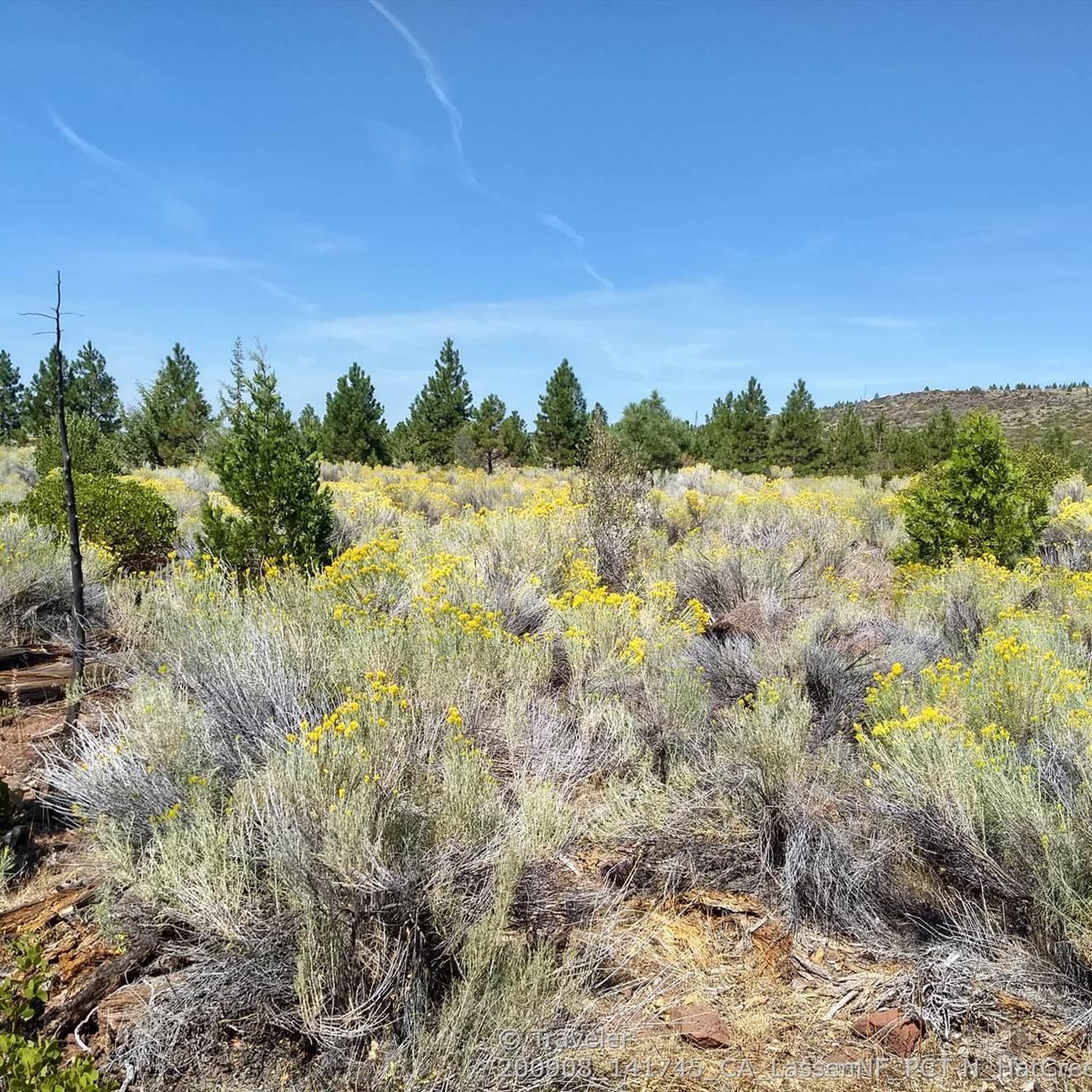
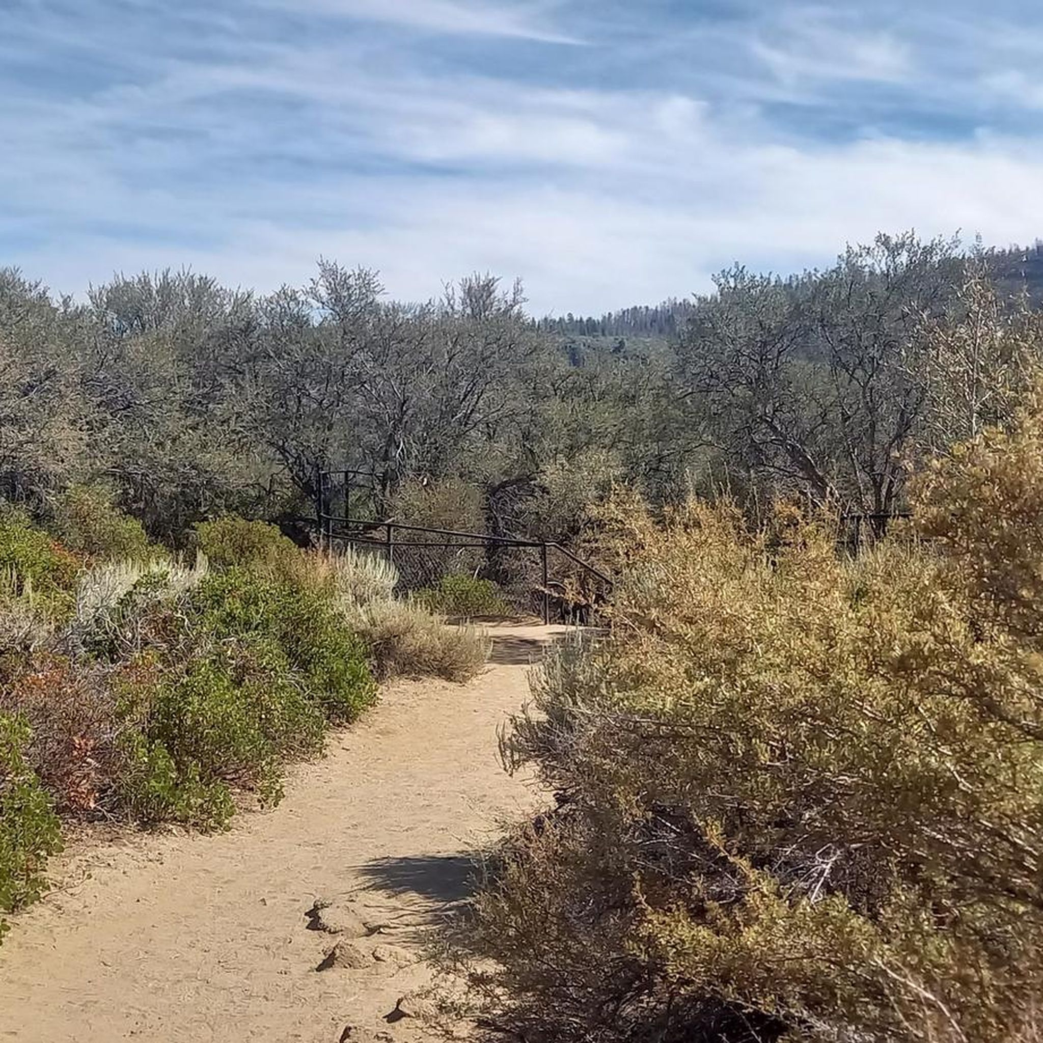
Hiking in Lassen National Forest offers access to a diverse landscape shaped by volcanic activity, dense forests, and numerous lakes. The region features a mix of terrain, from gentle paths through pine and fir woods to more challenging ascents in wilderness areas. Hikers can explore areas with volcanic features, tranquil waters, and impressive waterfalls. The elevation varies, providing options for different levels of physical exertion.
Best hiking trails in Lassen National Forest
- The most popular hiking route is Burney Falls loop via Pacific Crest Trail — McArthur Burney Falls Memorial State Park, an easy 2.6 miles (4.2 km) trail that takes 1 hour 8 minutes to complete, circling the notable Burney Falls.
- Another top favourite among local hikers is Burney Creek Trail to Lake Britton Beach – McArthur Burney Falls Memorial State Park, an easy 3.0 miles (4.9 km) path that follows Burney Creek to Lake Britton Beach.
- Local hikers also love the Pacific Crest Trail to Rock Creek Falls – Lassen National Forest, a 10.7 miles (17.3 km) trail leading through forested areas to Rock Creek Falls, often completed in about 4 hours 57 minutes.
- Hiking in Lassen National Forest is defined by volcanic terrain, extensive pine and fir forests, and serene lakes and waterfalls. The network offers options for various ability levels, from easy strolls to difficult long-distance routes.
- The routes in Lassen National Forest are highly rated by the komoot community with an average score of 4.7 stars from over 100 reviews. More than 1,600 hikers have used komoot to explore Lassen National Forest's varied terrain.
Last updated: June 24, 2026
6
hikers
1.02km
00:15
0m
0m
The Subway Cave Trail offers a unique hiking experience, leading you directly to a fascinating volcanic formation. This easy route covers just 0.6 miles (1.0 km) with a minimal elevation gain of 3 feet (1 metre), making it a quick adventure you can complete in about 15 minutes. As you walk, you'll find yourself immersed in the natural setting of Lassen National Forest, anticipating the distinctive geological feature ahead. It's a perfect short exploration to witness the area's volcanic history up close.
Planning your visit to the Subway Cave Trail is straightforward, as parking is usually available right near the trailhead. While the trail is generally accessible year-round, it's always wise to check current local conditions before you head out. This is especially important if you plan to hike during the winter, as snow or ice could impact access to the cave entrance. A quick check ensures you'll have a smooth and enjoyable trip to this unique spot.
What makes the Subway Cave Trail particularly notable is the opportunity to explore a genuine volcanic formation. This cave provides a tangible glimpse into the geological past of the region, showcasing the forces that shaped the landscape. It stands out as a distinctive feature within Lassen National Forest, offering more than just a simple walk; it's an educational journey into the earth's history.
1
hikers
2.20km
00:35
10m
50m
Embark on an easy hike along the Pioneer Cemetery Trail, a 1.4-mile (2.2 km) route that guides you through a forest of ponderosa pine, Douglas-fir, and incense cedar. You will gain only 25 feet (8 metres) in elevation, making this a gentle walk that takes about 35 minutes to complete. The path follows a historic wagon route, leading you to a quiet old settler cemetery and offering a viewpoint for the impressive Burney Falls.
When planning your visit, remember that dogs are generally not allowed on this specific trail. Parking is readily available within McArthur-Burney Falls Memorial State Park, ensuring easy access to the trailhead. This makes it a convenient option for a quick outdoor escape if you are in the area.
Beyond the cemetery, the trail continues towards Lake Britton, where you can find opportunities for boat rentals and fishing. As you hike, observe the unique basalt formations that characterize the Modoc Plateau, showcasing the region's distinct geological history. The cemetery itself provides a glimpse into the lives of early pioneers, with headstones marking their resting places.

Sign up for free
1.13km
00:19
20m
30m
Embark on an easy hike along the Burney Falls Loop Trail, a short 0.7-mile (1.1 km) route that takes approximately 19 minutes to complete. You'll experience the powerful 129-foot Burney Falls, feeling the mist as you descend to its base. The trail offers multiple perspectives of the falls, from accessible overlooks to an immersive view from below. Along the way, you'll pass through forested areas, enjoying the shade of ponderosa pine and Douglas fir trees. Despite its modest 77 feet (23 metres) of elevation gain, the scenery is truly captivating.
The trail is located within McArthur-Burney Falls Memorial State Park, where parking is generally available. You can access the main overlook near the parking lot before beginning your loop. While the route is open year-round, be mindful that winter conditions can make sections icy and slippery, especially close to the falls. The rocks at the base are often wet from the constant mist, so wearing appropriate footwear is highly recommended for your safety and comfort. Plan your visit to enjoy the falls in their full glory, keeping these seasonal considerations in mind.
What makes this trail particularly notable is the unique nature of Burney Falls itself. Unlike many waterfalls that rely on surface runoff, these falls flow consistently year-round, fed by underground springs. This constant flow creates a vibrant ecosystem around Burney Creek, which you'll follow for part of the route. It's a natural wonder that stands out in the region, offering a refreshing experience for all visitors.
29.3km
07:39
200m
200m
Embark on the Lake Almanor Recreation Trail for a challenging hike that spans 18.2 miles (29.3 km) along the western shore of Lake Almanor. You will navigate through serene mixed conifer forests, passing pines, firs, and incense cedars, which periodically open up to expansive meadows and tranquil lakeshore areas. This difficult route involves a total elevation gain of 660 feet (201 metres), offering a substantial journey that typically takes around 7 hours and 38 minutes to complete. As you hike, you will be treated to panoramic views of Lake Almanor, Dyer Mountain, and the majestic Lassen Peak, providing a constant scenic backdrop to your adventure.
When planning your visit, you will find multiple access points along Highway 89, giving you the flexibility to tackle the entire route or choose shorter sections that suit your schedule. Dogs are welcome to join you on the trail, but please ensure they remain on a leash for their safety and the comfort of others. While the trail is usually cleared of debris each spring, be aware that some sections might still present rutted pavement or forest debris, including potential hazard trees from past fires.
The Lake Almanor Recreation Trail is a multi-use path situated within the expansive Lassen National Forest, offering a unique blend of lakeside beauty and forest immersion. This trail is particularly notable for its diverse ecosystem, transitioning from dense woodlands to open meadows and providing continuous views of the lake. It serves as an excellent opportunity to experience the natural grandeur of the region, connecting you directly with the landscape surrounding Lake Almanor.
29.3km
07:39
200m
200m
Embark on a challenging hike along the Lake Almanor Recreation Trail, a difficult route spanning 18.2 miles (29.3 km). You will gain 660 feet (201 metres) in elevation, requiring approximately 7 hours and 38 minutes to complete. As you follow the paved path along Lake Almanor's western shore, you'll pass through mixed conifer forests and open meadows, with expansive views of Dyer Mountain and Lassen Peak.
This multi-use trail is dog-friendly, but remember to keep your pet on a leash. You can access the route from various points, making it easy to plan shorter sections if you prefer. Be aware that some parts of the paved surface may be rutted, and you might encounter fallen debris due to ongoing hazard tree removal from recent fires in the area.
The trail offers a unique opportunity to experience the diverse natural beauty of Lassen National Forest. Keep an eye out for local wildlife, including bald eagles and ospreys, which are often seen soaring above the lake. This route provides a substantial day out, connecting you with the serene environment and picturesque landscapes surrounding Lake Almanor.
Get access to more routes and recommendations from other explorers.
Sign up for free
Already have an account?
Our route recommendations are based on thousands of hikes, rides, and runs completed by other people on komoot.
Start today with a free account
Your next adventure awaits.
Login or Signup

Other adventures in Lassen National Forest

Tips from the Community

This is an easy, early viewpoint for seeing 129-foot Burney Falls. If you're up for more of a hike, you can get a closer view.
0
0

If you arrive here with a car, you have to pay 10 Dollars as entrance fee. Hikers can walk in for free. Burney Falls is a side Trip that is so worth the short walk, especially on a hot summer day. There is also a general store with snacks and ice cream, restrooms, drinking fountains and a visitor center with WiFi. If you can, avoid the crowds around the weekends.
7
0
The Subway Cave is just a short detour from the PCT. Invest half an hour to investigate the unique lava tubes and the cool air within. There are also toilets at the parking lot as well as potable water.
5
0

Burney Falls is not to be missed. Hike down the trail towards the bottom of the bowl, and you'll notice the air temperature dropping - a cool oasis with cascading falls, blue green waters and the rush of water mixing gravity and rocks. A spectacular site that is definitely worth a short side trip off of the Pacific Crest Trail.
2
0
The stunning wide waterfall is fed by an underground reservoir and large springs. With 100 million gallons of water flowing per day it is the most voluminous waterfall in California.
4
0

Beautiful wooden arched bridge across Burney Creek, which makes it possible to hike a lovely loop around both sides of the famous waterfalls, connecting with another footbridge upstream of the falls.
1
0
Very cool volcanic lava tube that can be walked for free for about 200 m underground. Bring flashlights !
2
0
Frequently Asked Questions
How many hiking trails are available in Lassen National Forest?
Lassen National Forest offers a wide variety of hiking opportunities, with over 20 routes documented on komoot. These range from easy strolls to challenging long-distance treks, catering to different experience levels.
What kind of terrain can I expect when hiking in Lassen National Forest?
The terrain in Lassen National Forest is incredibly diverse, shaped by its volcanic past. You'll find trails winding through dense pine and fir forests, open meadows, and areas featuring unique volcanic landscapes. Expect varied elevations, from gentle paths to more strenuous ascents in wilderness areas.
Are there any trails that feature waterfalls in Lassen National Forest?
Yes, the region is known for its beautiful waterfalls. You can explore trails that lead to impressive cascades, such as the Pacific Crest Trail to Rock Creek Falls. Another popular option is the Burney Falls loop via Pacific Crest Trail, which circles the notable Burney Falls.
What are some notable landmarks or natural features to look out for?
Lassen National Forest and its surroundings are rich in natural wonders. Beyond waterfalls, you can discover volcanic formations, serene lakes, and unique geological features. The PCT Midpoint marker is a significant point for long-distance hikers. The region is also home to the fascinating Subway Caves, a lava tube offering a unique underground exploration opportunity.
Are there any family-friendly hiking options in the area?
Yes, there are several easy trails suitable for families. The Burney Falls loop via Pacific Crest Trail is an easy 2.6-mile route that's popular with families. Another gentle option is the Burney Creek Trail to Lake Britton Beach, which follows the creek to a scenic beach.
What do other hikers enjoy most about Lassen National Forest?
The area is highly rated by the komoot community, with an average score of 4.7 stars from over 100 reviews. Hikers often praise the diverse landscapes, from volcanic features to tranquil forests and impressive waterfalls, as well as the variety of trails suitable for all skill levels.
Are there any long-distance or challenging hikes for experienced trekkers?
For experienced hikers seeking a challenge, Lassen National Forest offers more demanding routes. The CA 36 to Pacific Crest Trail midpoint marker is a difficult 15.2-mile trail. Another challenging option is the Subway Cave to Lost Creek Source – Pacific Crest Trail, a difficult 17.2-mile route.
What is the best time of year to go hiking in Lassen National Forest?
The best time for hiking in Lassen National Forest is typically from late spring through early fall (May to October). During these months, trails are generally clear of snow, and the weather is pleasant. Spring brings wildflowers, while fall offers vibrant foliage. Always check current conditions before heading out, especially in early spring or late fall.
Are there any viewpoints offering panoramic views?
Yes, the volcanic landscape provides numerous opportunities for stunning vistas. While specific viewpoints vary by trail, areas like the Hat Creek Rim Scenic Vistapoint offer expansive views of the surrounding terrain. Many trails also lead to higher elevations, providing panoramic outlooks over the forests and volcanic features.
What kind of wildlife might I encounter on the trails?
Lassen National Forest is home to diverse wildlife. Hikers might spot various bird species, deer, and smaller mammals. Keep an eye out for black bears, though encounters are rare. Always practice Leave No Trace principles and store food properly to avoid attracting wildlife.
Is parking available at trailheads in Lassen National Forest?
Parking is generally available at most established trailheads throughout Lassen National Forest. However, during peak season or on popular routes, parking lots can fill up quickly. It's advisable to arrive early, especially for well-known trails, to secure a spot.
Are there any trails that pass by lakes or offer water access?
Yes, the region features several beautiful lakes and water bodies. The Burney Creek Trail leads to Lake Britton Beach. Other lakes like Lake Almanor, Manzanita Lake, and Butte Lake are also accessible via trails, offering scenic views and recreational opportunities.
Most popular attractions in Lassen National Forest

Get inspired with the komoot mobile app


Explore more
Browse the best Hikes in other regions.
