The best road cycling routes in Angeles National Forest
4.5
(137)
8,212
riders
280
rides
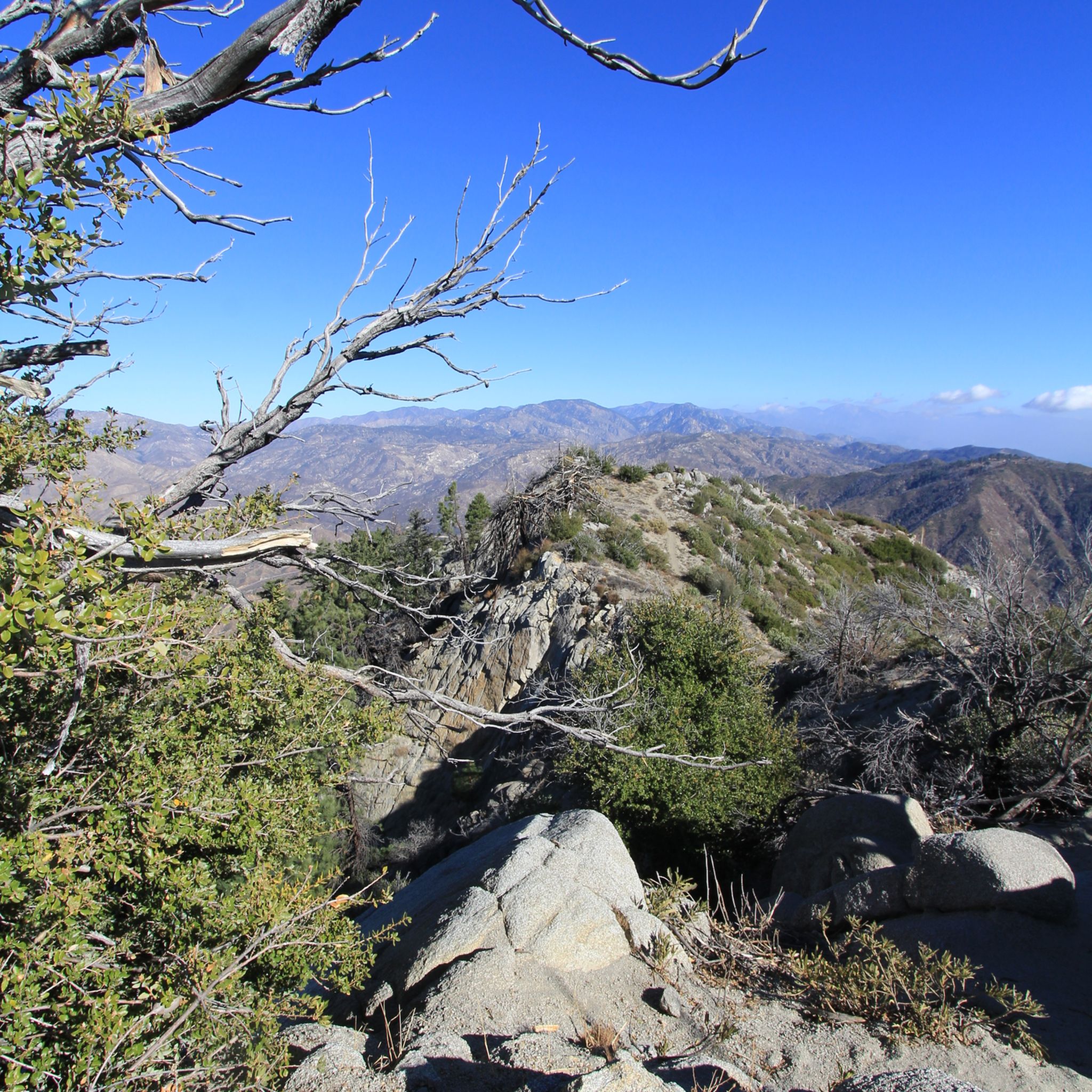
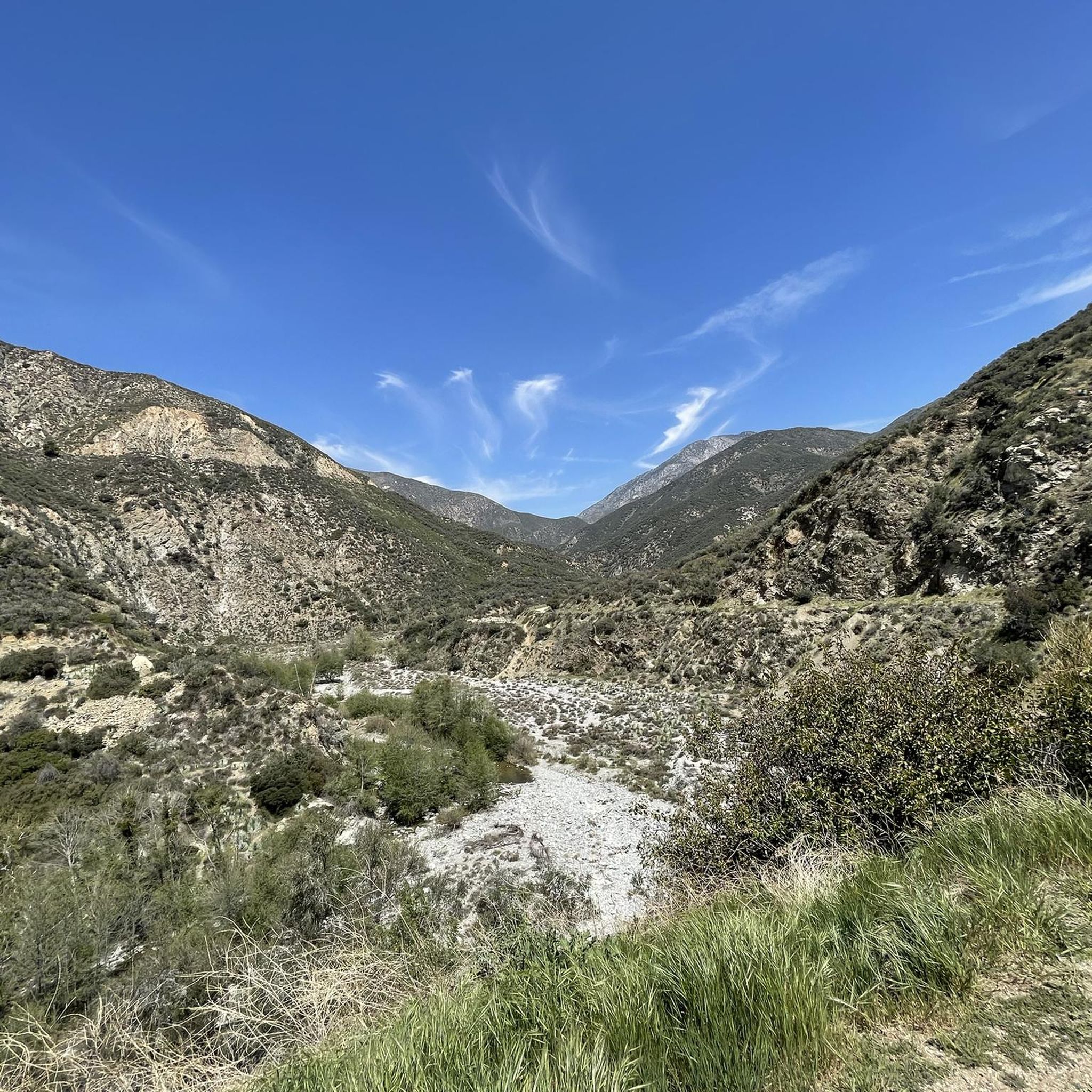
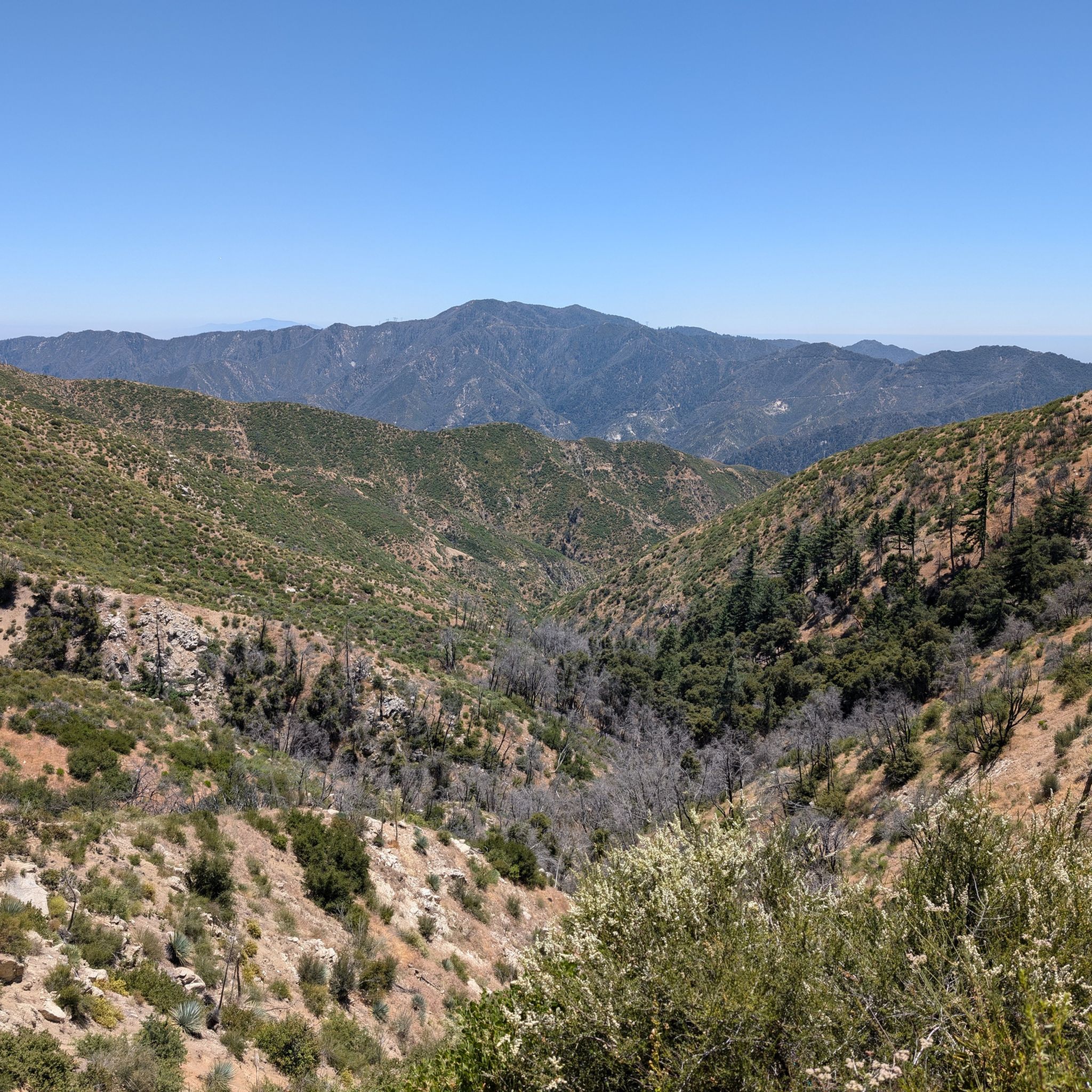
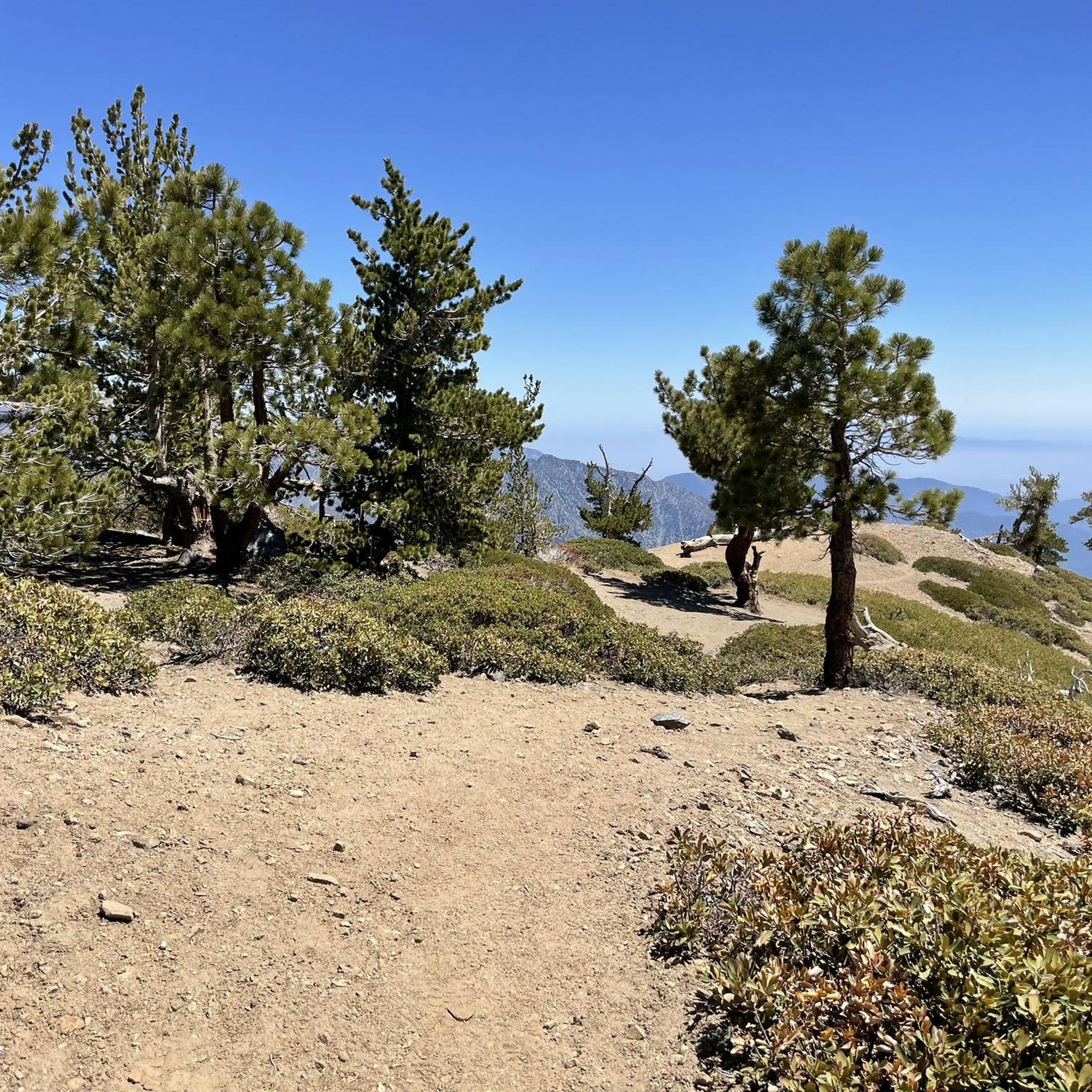
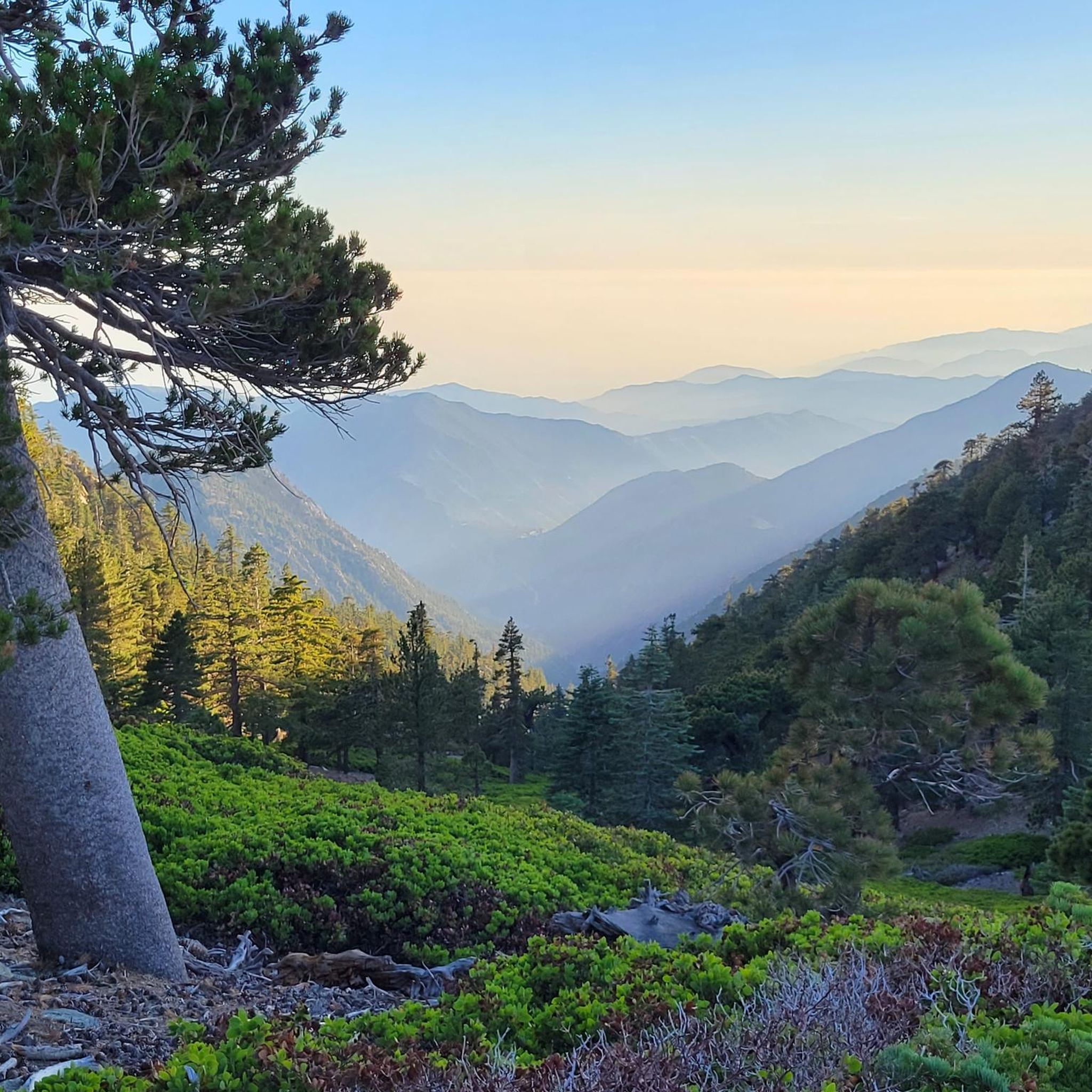
Road cycling routes in Angeles National Forest traverse a vast landscape characterized by steep canyons, chaparral-covered slopes, and pine and fir forests, with elevations ranging from 1,200 to over 10,000 feet. This diverse terrain provides a wide array of scenic routes, from challenging mountain climbs to more moderate paths. The forest's proximity to Los Angeles makes it an accessible destination for road cyclists seeking varied experiences. Its extensive network of well-paved roads offers significant climbing and sweeping views across Southern California.
Best road cycling routes in Angeles National Forest
- The most popular road cycling route is Mount Gleason Loop, a 38.6 miles (62.1 km) trail that takes 3 hours 51 minutes to complete. This difficult route features significant elevation gain through mountainous terrain.
- Another top favourite among local road cyclists is Rubel Castle – Little Dalton Debris Basin loop from Glendora, a moderate 18.9 miles (30.5 km) path. This route offers scenic beauty through varied landscapes near Glendora.
- Local road cyclists also love the Brookside Park loop from Pasadena Council District 1, a 12.8 miles (20.7 km) trail leading through urban and park areas, often completed in about 1 hour 8 minutes.
- Road cycling in Angeles National Forest is defined by winding switchbacks, dramatic canyon vistas, and majestic peaks. The network offers options for different ability levels, from easy loops to arduous climbs.
- The routes in Angeles National Forest are highly rated by the komoot community with an average score of 4.6 stars from over 120 reviews. More than 7,000 road cyclists have used komoot to explore Angeles National Forest's varied terrain.
Last updated: May 27, 2026
62.1km
03:52
1,460m
1,460m
Hard road ride. Very good fitness required. Some segments of this route may be unpaved and difficult to ride.
24
riders
Easy road ride. Great for any fitness level. Mostly well-paved surfaces and easy to ride.

Sign up for free
14
riders
Hard road ride. Very good fitness required. Mostly well-paved surfaces and easy to ride.
5.0
(1)
5
riders
Moderate road ride. Good fitness required. Some segments of this route may be unpaved and difficult to ride.
3.0
(1)
25
riders
15.2km
01:26
150m
150m
Easy road ride. Great for any fitness level. Mostly well-paved surfaces and easy to ride.
Get access to more routes and recommendations from other explorers.
Sign up for free
Already have an account?
Our route recommendations are based on thousands of hikes, rides, and runs completed by other people on komoot.
Start today with a free account
Your next adventure awaits.
Login or Signup

Other adventures in Angeles National Forest

Tips from the Community

From this spot, you can see the observatory on Mount Disappointment, along with views of the San Gabriel Mountains and Valley.
0
0

You can cycle across the top of the dam, which was constructed in 1928 to help control flooding in the region. It stands at 147 feet high, and today supports a myriad of outdoor recreation activities on the reservoir.
0
0
San Gabriel Reservoir is a good place to end your route across the mountains, with dramatic views and wide open space. The road curves above the reservoir, making it a great spot to catch your breath and take in the landscape. Early mornings are quieter and cooler—perfect for a break during a long climb.
0
0

This is where you leave Crystal Lake Road to get to Crystal Lake. Crystal Lake is a beautiful lake in the San Gabriel Mountains. If you want to stay the night, there are campsites on the banks of the lake.
0
0
Halfway up the Highway 39 & Dawson Saddle climb, the Upper Bear Creek Trailhead is a good place to stop for a break if you need to catch your breath. While the trail itself is not suitable for road bikes, the trailhead has picnic tables and restrooms, so it is a good spot for a snack and quick breather.
0
0

The Crystal Lake climb begins in the Angeles National Forest, offering cyclists a moderately challenging route through some scenic landscapes. As you approach the 7-mile mark, the climb starts to reward your efforts with dramatic views of the winding switchbacks and the canyon below. The final stretch on Crystal Lake Road provides a peaceful, lightly trafficked road, ideal for cyclists to finish the climb on a well-maintained path with stunning views ahead.
0
0
Highway 39 climbs deep into Southern California’s San Gabriel Mountains, starting with a steady grade that twists through rugged terrain and offers sweeping views. After passing multiple switchbacks, a Crystal Lake turnoff, and a gated parking area around mile 12, the road softens slightly, continuing along a scenic ridgeline toward the junction with Angeles Crest Highway. A final moderate push leads you to Dawson Saddle at just under 8,000 feet, a summit raced by the pros and known as one of California’s most difficult ascents.
0
0

Red Box Gap, located below Lawlor Peak, offers great views and an ideal spot for a break. A 3.5-mile trail from here leads to Strawberry Peak, which comes into view before reaching the saddle. Popular with hikers and bikers, Red Box has a trailhead parking area, the Haramokngna American Indian Cultural Center, and a natural stone viewpoint. The center typically opened on weekends and holidays from 10 a.m. to 6 p.m.
0
0
Frequently Asked Questions
How many road cycling routes are available in Angeles National Forest?
Angeles National Forest offers a wide selection of road cycling routes, with over 270 options available. These routes traverse diverse landscapes and cater to various skill levels.
What are the difficulty levels of road cycling routes in Angeles National Forest?
The routes in Angeles National Forest cater to all abilities. You'll find 88 easy routes, 127 moderate routes, and 59 difficult routes, ensuring there's a challenge suitable for every road cyclist.
What kind of terrain and elevation can I expect on road cycling routes in Angeles National Forest?
Road cycling in Angeles National Forest is characterized by diverse terrain, including steep canyons, chaparral-covered slopes, and pine and fir forests. Elevations range significantly from 1,200 to over 10,000 feet, providing routes with winding switchbacks, dramatic canyon vistas, and substantial climbing opportunities.
Are there any challenging climbs for experienced road cyclists in the area?
Yes, Angeles National Forest is renowned for its challenging climbs. Routes like the Upper Bear Creek Trailhead – Crystal Lake Recreation Area loop from Azusa Downtown are classified as difficult, featuring significant elevation gain. The iconic Angeles Crest Highway also offers consistent, moderate grades and over 9,000 feet of ascent on the way to Wrightwood.
What do other road cyclists enjoy most about cycling in Angeles National Forest?
The komoot community highly rates road cycling in Angeles National Forest, with an average score of 4.6 stars from over 120 reviews. Cyclists often praise the stunning views across Southern California, the winding switchbacks, and the diverse terrain that offers both challenging climbs and scenic rides.
Are there any family-friendly road cycling routes in Angeles National Forest?
While many routes involve significant climbing, there are easier options available. For instance, the Brookside Park loop from Pasadena Council District 1 is an easy 12.8-mile trail that leads through urban and park areas, suitable for a more relaxed ride.
What natural features or landmarks can I see along the road cycling routes?
Angeles National Forest offers spectacular scenery. Along your rides, you might encounter majestic peaks like Mount Baldy or Strawberry Peak. You could also pass by natural monuments such as Eaton Canyon Waterfall or enjoy views from Mount Lukens.
Are there any historical sites or points of interest accessible by road bike?
Yes, you can explore historical points of interest. For example, the Mount Lowe Railway Ruins offer a glimpse into the area's past and can be reached via certain routes.
Are there any circular road cycling routes in Angeles National Forest?
Yes, many routes in Angeles National Forest are designed as loops. Examples include the challenging Mount Gleason Loop and the moderate Rubel Castle – Little Dalton Debris Basin loop from Glendora, which offer varied scenery and return you to your starting point.
What is the best time of year for road biking in Angeles National Forest?
The Angeles National Forest offers beautiful vistas, particularly during the spring wildflower season and with lovely fall colors. However, it's important to check for seasonal closures, especially at higher elevations, and be aware of weather conditions, as they can vary significantly with elevation.
Are there places to stop for coffee or food near the cycling routes?
While the forest offers a wilderness escape, some routes pass closer to amenities. For instance, the Syndicate Coffee – Prime Pizza loop from Altadena suggests routes that incorporate stops for refreshments, often found in the towns bordering the forest.
Is it possible to access the Angeles National Forest for cycling using public transport?
The Angeles National Forest is primarily accessed by car, with various entry points including the scenic CA-2 (Angeles Crest Highway). While its proximity to Los Angeles makes it an accessible 'backyard playground,' direct public transport options into the heart of the forest for cyclists are limited. It's best to plan your route to start from a point accessible by car.
Where can I find parking for road cycling routes in Angeles National Forest?
Parking is generally available at various access points and trailheads throughout the Angeles National Forest. Popular starting points for road cycling often include areas along the Angeles Crest Highway or near towns bordering the forest, such as Glendora or Pasadena. Always check specific route details for recommended parking locations.
Most popular routes in Angeles National Forest
Most popular attractions in Angeles National Forest

Get inspired with the komoot mobile app


Explore more
Browse the best Road cycling routes in other regions.
