The best running trails in Klamath National Forest
27
runners
7
runs
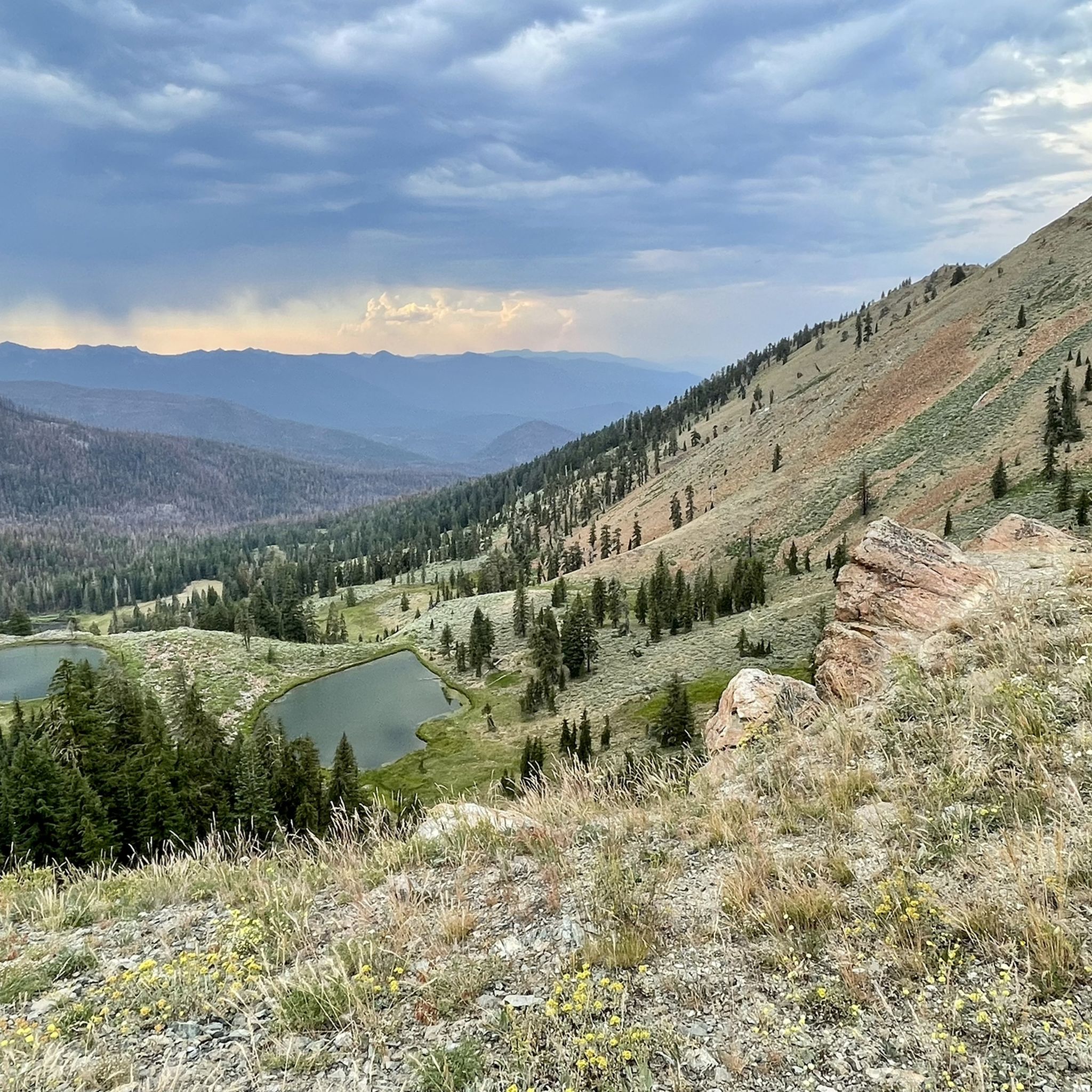
Jogging in Klamath National Forest offers diverse landscapes across northern California and southern Oregon. The region features dense coniferous forests, expansive grasslands, and rugged granite outcrops, with elevations ranging from 459 feet to 8,920 feet. Numerous lakes and rivers, including the Klamath, Salmon, and Scott Rivers, add to the scenic beauty. This varied terrain provides a wide array of environments for running enthusiasts.
Best jogging routes in Klamath National Forest
- The most popular jogging route is Pacific Crest Trail: Siskiyou…
Last updated: September 27, 2026
1
runners
25.5km
03:35
950m
950m
Hard run. Very good fitness required. Mostly paved surfaces. Suitable for all skill levels.
16
runners
13.7km
01:37
280m
280m
Moderate run. Good fitness required. Mostly paved surfaces. Suitable for all skill levels.

6
runners
7.88km
00:54
130m
130m
Moderate run. Good fitness required. Mostly paved surfaces. Suitable for all skill levels.
8.87km
01:30
600m
600m
Hard run. Very good fitness required. Mostly paved surfaces. Suitable for all skill levels.
2
runners
27.4km
03:44
860m
860m
Hard run. Very good fitness required. Mostly paved surfaces. Suitable for all skill levels.
Get access to more routes and recommendations from other explorers.
Already have an account?
Our route recommendations are based on thousands of hikes, rides, and runs completed by other people on komoot.
Start today with a free account
Your next adventure awaits.




Tips from the Community

The Lone Pilot Trail is a popular loop trail off of the Pacific Crest Trail. It is well graded, so it is not particularly difficult apart from its length.
0
0

At this intersection with a dirt road, follow the road to the west for approximately half a mile to get to Wrangle camp ground with a nice shelter.
0
0
Mount Ashland is the highest peak in the Siskiyou Mountains. In the winter, it is a ski resort, but in warmer weather it is a great place for a trail run. As you will be at the highest point in the area, you get great views of the valleys and nearby peaks.
0
0

The Pacific Crest Trail (PCT) is well known within the hiking world. This particular section stand out due to it's incredible views of the Siskiyou Mountains and beyond but also because the 2014 Reese Witherspoon film "Wild" was partly filmed in nearby Ashland, Oregon. Fans of the move (or book of the same name) can hike a section of trail and then head to town and visit the filming locations.
0
0
With 7,532 feet, Mount Ashland is the highest peak in the Siskiyou Mountains in southern Oregon. It is a popular ski area, but also a very nice destination for a scenic hike. The white ball you can see up here is a weather radar station, called the Doppler.
3
0
At this intersection with a dirt road, follow the road to the west for approximately half a mile to get to Wrangle Campground with a nice shelter.
2
0
With a great view of Pilot Rock, you will find at least one or two nice spots to pitch your tent. There is no shade though.
6
0
Frequently Asked Questions
What kind of terrain can I expect on the running trails in Klamath National Forest?
Klamath National Forest offers a diverse range of terrain for runners. You can expect to jog through dense coniferous forests, expansive grasslands, rugged granite outcrops, and even distinctive volcanic formations. Elevations vary significantly, from 459 feet to 8,920 feet, providing varied experiences from gentle slopes to challenging climbs. The region is also characterized by numerous lakes and rivers, adding to the scenic beauty.
Are there running routes suitable for all skill levels in Klamath National Forest?
The forest primarily features more challenging routes. According to our data, all 7 of the listed jogging routes are rated as difficult, offering significant elevation gains and varied mountain terrain. However, the extensive trail system, including portions of the Pacific Crest National Scenic Trail, provides a wide array of environments, so runners can find paths that suit their fitness levels, even if many are on the more strenuous side.
Are there any challenging long-distance running options available?
Yes, Klamath National Forest is an excellent destination for challenging long-distance runs. For example, the Pacific Crest Trail: Siskiyou Peak to Big Red Mountain is a difficult 15.8-mile (25.5 km) route with significant elevation gains and expansive panoramic views. Another option is the Lone Pilot Loop, which spans over 17 miles (27.4 km) and also presents a difficult challenge.
What natural features or landmarks can I see while running in the forest?
While running in Klamath National Forest, you can encounter a variety of stunning natural features. The forest itself is characterized by towering Douglas firs, ponderosa pines, and cedar trees. Notable landmarks and areas include the vast Marble Mountain Wilderness, which features extensive trail networks. You might also pass by scenic lakes such as Caribou Lakes or Paynes Lake, and experience panoramic views from points like Mount Ashland.
Are there any scenic lakes or rivers along the running paths?
Yes, the Klamath National Forest is home to numerous lakes and rivers that enhance the scenic beauty of your run. The Klamath, Salmon, and Scott Rivers are prominent features. You can also find picturesque lakes like Kangaroo Lake, Caribou Lakes, and Paynes Lake. The Kangaroo Lake Campground area, for instance, offers trails around the lake.
When is the best time of year to go jogging in Klamath National Forest?
The best time to visit Klamath National Forest for optimal trail conditions is generally from late spring to early fall. During these months, you'll find more favorable weather, less snow at higher elevations, and vibrant wildflower blooms in the grasslands during spring. This period ensures a more enjoyable and accessible running experience across the diverse landscapes.
Are there any loop running trails in the area?
Yes, there are several loop running trails available. A popular option is the Pacific Crest Trail loop from Mount Ashland, a difficult 9.3-mile (14.9 km) path that provides a challenging run through varied mountain terrain. Another notable loop is the Lone Pilot Loop, offering a longer and equally challenging experience.
Are the running trails in Klamath National Forest dog-friendly?
Klamath National Forest generally allows dogs on trails, but regulations can vary by specific area, especially within designated wilderness areas. It's always recommended to keep your dog on a leash and practice Leave No Trace principles. Check with the local forest service office for specific rules regarding the trail you plan to use to ensure a pleasant experience for everyone.
What do other runners enjoy most about jogging in Klamath National Forest?
Runners often praise the vast and varied landscapes of Klamath National Forest. The combination of dense forests, open grasslands, rugged mountains, and numerous lakes and rivers provides stunning scenery. Many appreciate the extensive trail system, including sections of the Pacific Crest Trail, which offers both challenging terrain and opportunities for solitude amidst nature. The diverse environments cater to those seeking an invigorating outdoor experience.
Are there any permits required for running on trails in Klamath National Forest?
Generally, permits are not required for day-use activities like running on most trails in Klamath National Forest. However, some specific areas, especially within designated wilderness areas or for overnight stays, might have permit requirements. It's always best to check the official Klamath National Forest website or contact a local ranger station if you plan to run in a specific wilderness area or for an extended period.
Is parking available at the trailheads for running routes?
Yes, parking is typically available at designated trailheads throughout Klamath National Forest. Many popular running routes, especially those that are part of larger trail systems like the Pacific Crest Trail, have established parking areas. It's advisable to check specific route details or forest service information for the exact location and any potential fees associated with parking at certain trailheads.
Most popular routes in Klamath National Forest
Most popular attractions in Klamath National Forest

Get inspired with the komoot mobile app


Explore more
Browse the best Running Trails & Routes in other regions.
