The best running trails in Pike And San Isabel National Forests
5.0
(6)
1,123
runners
181
runs
Jogging routes in Pike And San Isabel National Forests traverse a vast landscape spanning nearly 3 million acres, from western Kansas to Colorado's highest peaks. The region features 23 "fourteeners" (peaks over 14,000 feet), including Mount Elbert, Colorado's highest peak, and the iconic Pikes Peak. Extensive forests of ponderosa pine, Douglas fir, and aspen trees characterize the terrain, alongside picturesque waterways like the Arkansas River and numerous lakes. Runners can experience diverse ecosystems, from ponderosa pine environments to alpine meadows…
Last updated: July 7, 2026
5.0
(1)
83
runners
9.50km
01:27
390m
380m
Prepare for a challenging jogging experience on the Section 16 and Palmer Trail Loop, a difficult route spanning 5.9 miles (9.5 km). You'll ascend a significant 1273 feet (388 metres)…
61
runners
15.5km
04:40
1,340m
1,340m
Embark on the North Mount Elbert Trail for a challenging jogging experience that takes you through diverse landscapes. You will begin your ascent through a beautiful forest, sometimes passing an…

Sign up for free
44
runners
12.1km
01:57
950m
950m
Embark on The DeCaLiBron Loop for a challenging high-alpine jogging experience, connecting four iconic 14,000-foot peaks. This difficult route spans 7.5 miles (12.1 km) and demands a significant 3121 feet…
39
runners
14.4km
03:47
1,000m
1,000m
The Hope Pass via Willis Gulch Trail offers a difficult jogging experience, covering 8.9 miles (14.4 km) with a significant elevation gain of 3283 feet (1001 metres). You can expect…
32
runners
20.2km
02:27
80m
80m
The Turquoise Lake Loop offers continuous, picturesque views as you jog around one of Colorado's largest high-elevation reservoirs. You will see constant vistas of the water and the majestic, snow-capped…
Get access to more routes and recommendations from other explorers.
Sign up for free
Already have an account?
Our route recommendations are based on thousands of hikes, rides, and runs completed by other people on komoot.
Start today with a free account
Your next adventure awaits.
Login or Signup
Popular around Pike And San Isabel National Forests

The Colorado Trail — Ten incredible days in the Rocky Mountains

Colorado Trail — The pinnacle of wild Colorado

Mountain bike paradise around Salida in Colorado

Unforgettable MTB Adventures – IMBA Epic Trails in USA and Canada
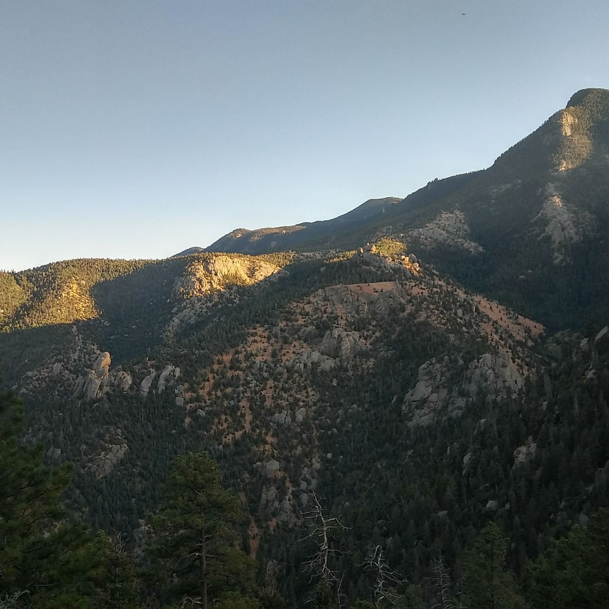
Hiking in Pike And San Isabel National Forests
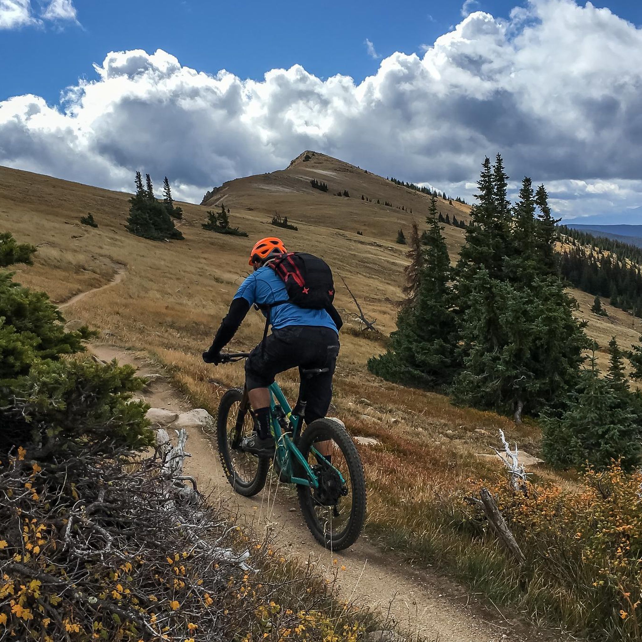
MTB Trails in Pike And San Isabel National Forests
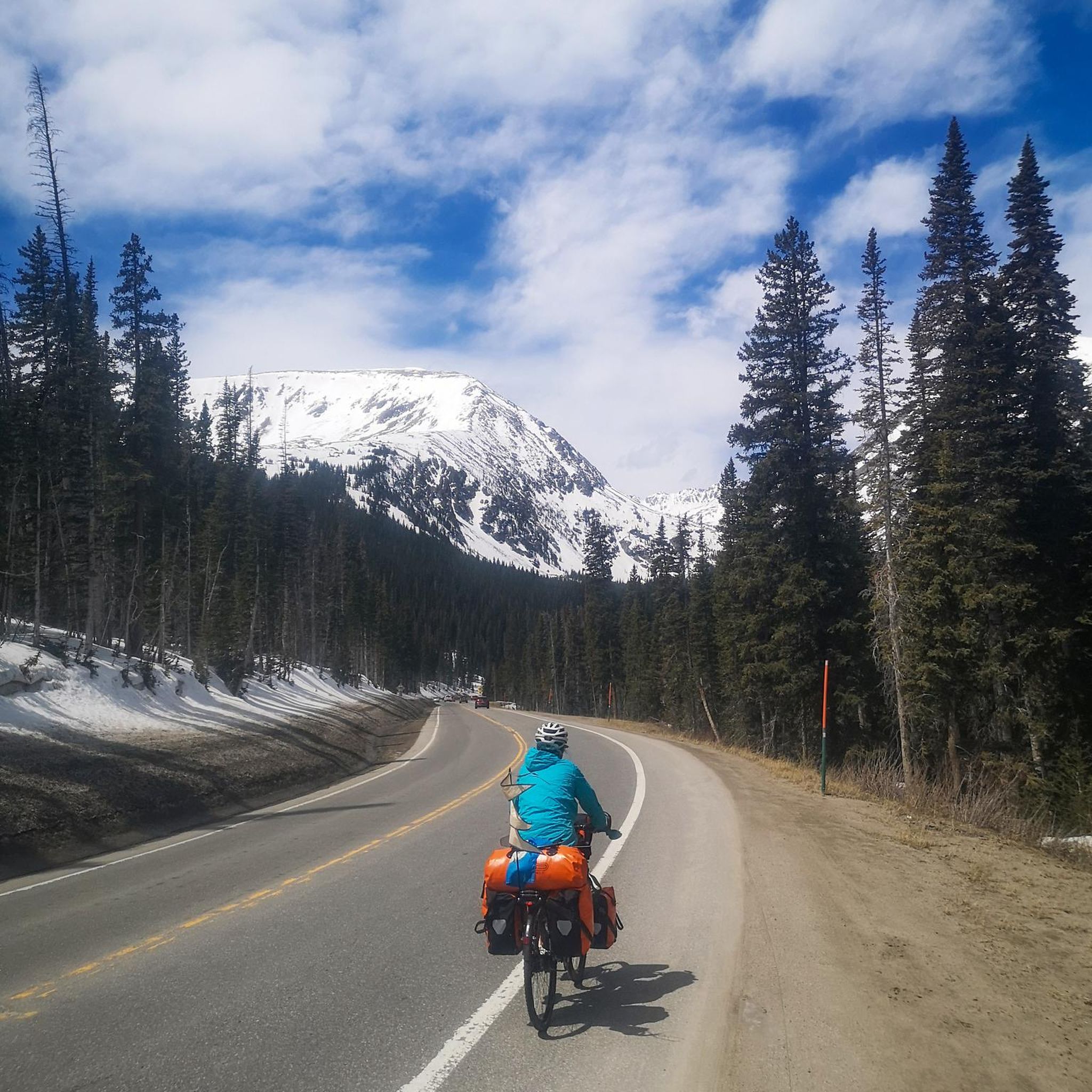
Cycling in Pike And San Isabel National Forests
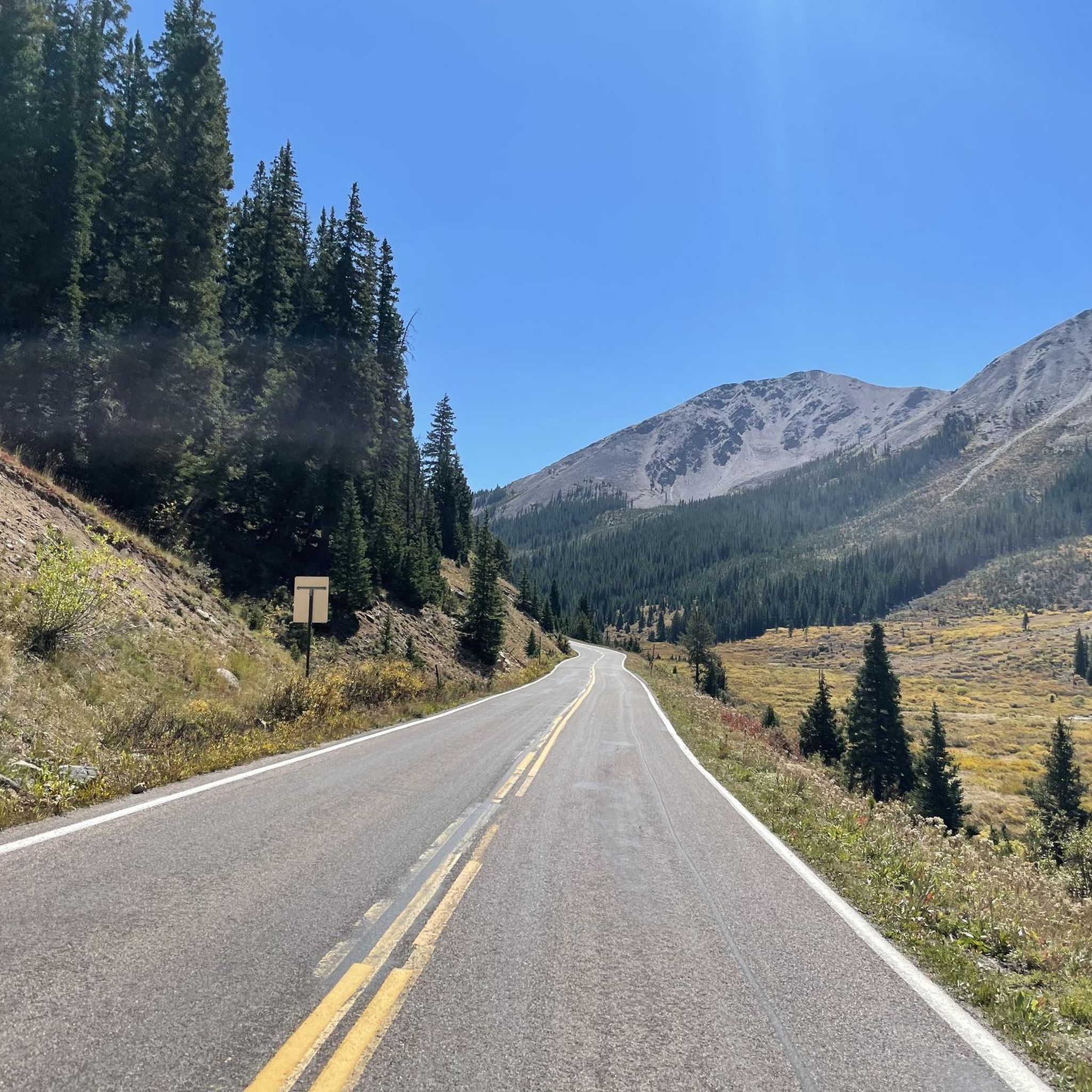
Road Cycling Routes in Pike And San Isabel National Forests
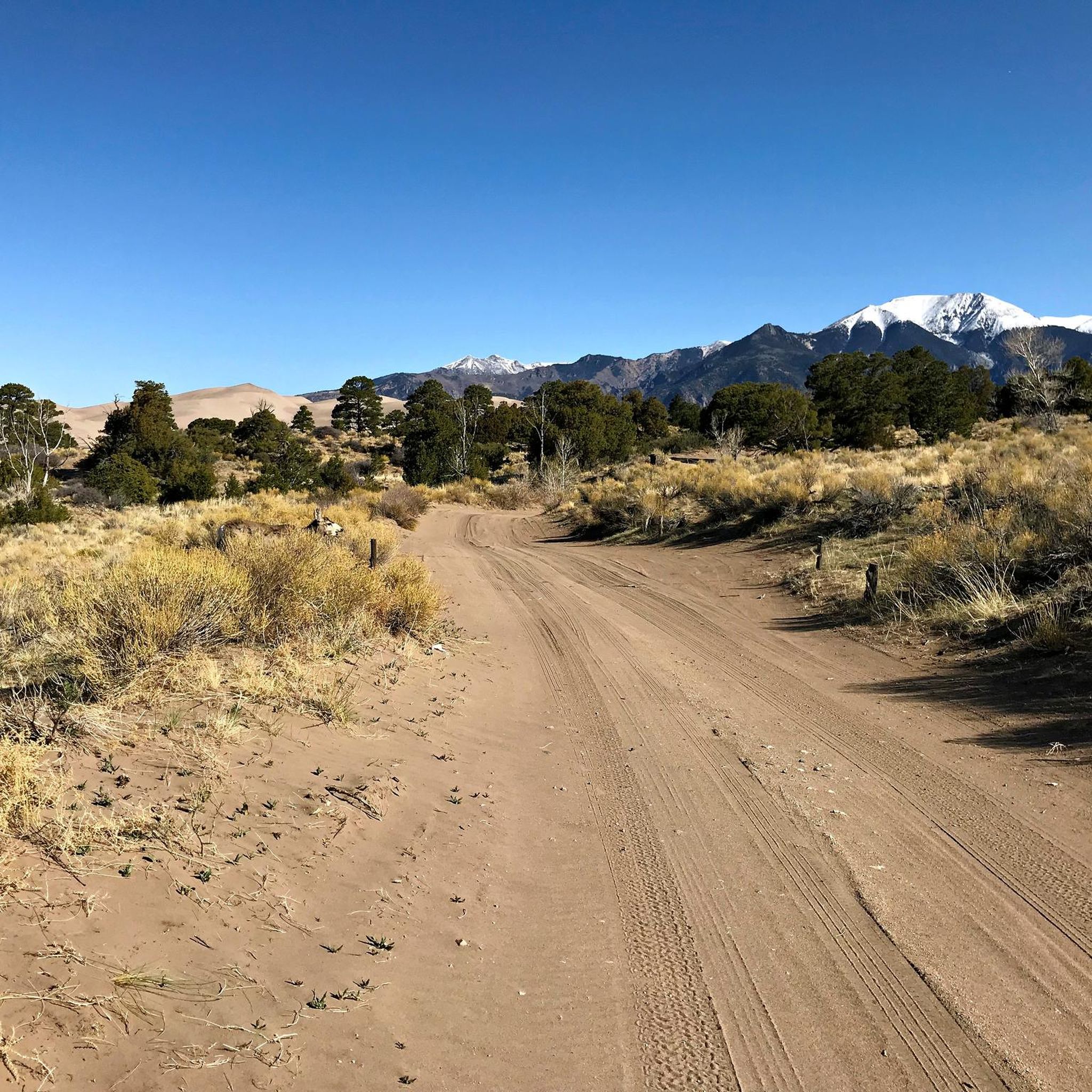
Gravel biking in Pike And San Isabel National Forests
Other adventures in Pike And San Isabel National Forests


Tips from the Community

I saw an advertisement in a regional magazine from Ternitz and wanted to see if the technology was stable. I was frustrated after a series of bad card games and actually wanted to quit the whole thing. But Hot Chilli Bells https://hotchilli-bells.pro/ offered me a fresh start on the slot machines. I achieved a win that immediately lifted my mood and covered my old losses. I am very satisfied with the result today.
0
0

To be honest, it's a bit disappointing that they haven't managed to install a decent summit cross or other special marker on Colorado's highest mountain. Arizona, Texas, and New Mexico are much better at that on their highest mountains.
0
0

The more northern miles of Turquoise Lake Trail (the section past the campsites) are known for being the rootier, rockier, hillier, and more technical portions of trail. With rocky access down to the shore at the end towards May Queen Campground, the rest of this section of trail stays in the trees crossing creeks and bridges.
0
0

Section 16 Open Space and Red Rock Canyon Open Space overlap in this area, allowing you to easily enjoy both of them. As you go on the trail, you'll quickly escape the city's hustle and bustle, experiencing peace and quiet. Throughout the year, you'll witness the area's unique beauty, from the changing leaves to the blooming wildflowers.
0
0
Mount Bross is a 14,178 foot mountain making up the final peak in the DeCaLiBron loop (when done clockwise). This mountain has lots of mines and mining claims associated with it, which leads to the private property issues often faced in the area. Coming down off of Bross is chossy and can be safer to hike at times. Get ready to surf some scree. The mountain is notorious for having limited and restricted access since the actual summit lies on private property. In fact, the entirety of the DeCaLiBron loop is sometimes restricted/closed to the public.
0
0
Mount Democrat is a very popular mountain summit in the Mosquito Range. Its peak rests at 14,155 feet, and it's a relatively short trek from the upper parking lot (situated over 12,000 feet) to the top. Hiking is a must on the way up, but if you are good at jogging on scree, you can do some running on the ridge between the peaks. Mount Democrat serves as the first 14er in the DeCaLiBron loop when being completed in the clockwise direction. Because there is a lot of private property on the DeCaLiBron loop, all four peaks (including Democrat) are subject to closure by the private landowners.
0
0
Mount Cameron is a 14,238 foot peak on the ridge linking Mount Democrat to Mount Lincoln. It is an official Colorado 14er and offers expansive views of the DeCaLiBron peaks.
0
0
Mount Lincoln is another one of the 14ers making up the DeCaLiBron loop. It stands at 14,293 feet and has incredible head-on view of two different mountain ranges: the Tenmile Range to the north and the Mosquito Range to the south.
0
1
Frequently Asked Questions
How many running routes are available in Pike And San Isabel National Forests?
Pike And San Isabel National Forests offer a vast network of over 180 running routes. These range from 6 easy paths and 29 moderate trails to 146 difficult routes, ensuring options for all fitness levels.
What kind of terrain can I expect on the jogging trails?
The terrain is incredibly diverse, spanning nearly 3 million acres. You'll find extensive forests of ponderosa pine, Douglas fir, and aspen trees, picturesque waterways like the Arkansas River, and alpine meadows leading to rugged peaks. Runners can experience everything from gentle paths to challenging high-altitude ascents.
Are there any easy or beginner-friendly running routes?
While many routes are challenging, there are 6 easy paths suitable for beginners or those looking for a less strenuous run. These trails often traverse ponderosa pine environments, offering a more gentle experience.
What are some challenging running routes for experienced runners?
For experienced runners, the region offers numerous demanding trails. The North Mount Elbert Trail is a difficult 9.6-mile ascent towards Colorado's highest peak. Another challenging option is The DeCaLiBron Loop, a 7.5-mile high-altitude trek summiting four 14,000-foot peaks.
Can I find routes with scenic views or natural landmarks?
Absolutely. Many routes offer breathtaking vistas and pass by significant natural landmarks. For panoramic city and mountain views near Colorado Springs, consider the Section 16 and Palmer Trail Loop. You can also encounter majestic mountains like Pikes Peak and Mount Elbert, or unique formations like the Siamese Twins rock formation.
Are there any waterfalls I can see along the running paths?
Yes, the forests feature several picturesque waterfalls. Notable ones include Helen Hunt Falls, Venable Falls, and Agnes Vaille Falls. Some trails, like those near Browns Creek, also feature streams and smaller cascades.
Are the running trails in Pike And San Isabel National Forests dog-friendly?
Many trails within Pike And San Isabel National Forests are dog-friendly, but leash regulations and specific trail restrictions can vary. It's always best to check local signage or the specific trail's guidelines before heading out with your canine companion.
What is the best time of year for trail running in the region?
The best time for trail running generally spans from late spring through early fall. Summer offers vibrant wildflowers in alpine meadows, while fall brings stunning aspen foliage. High-altitude routes may be inaccessible due to snow well into early summer, and winter running requires appropriate gear and awareness of conditions.
Are there any circular running routes available?
Yes, there are several circular running routes. A popular option is the Section 16 and Palmer Trail Loop, which offers a 5.9-mile loop with great views. For a high-altitude challenge, The DeCaLiBron Loop is a demanding 7.5-mile circuit.
What are the parking options like for trailheads in the National Forests?
Parking availability varies by trailhead. Many popular trailheads have designated parking areas, but these can fill up quickly, especially on weekends and during peak seasons. It's advisable to arrive early or consider less-trafficked routes if you're concerned about parking. Some areas may require a fee or permit.
What do other runners say about the trails in Pike And San Isabel National Forests?
The running routes in Pike And San Isabel National Forests are highly rated by the komoot community, with an average score of 5.0 stars from numerous reviews. Runners often praise the diverse ecosystems, breathtaking mountain vistas, and the variety of trails catering to different ability levels.
Are there any routes that offer a high-altitude experience?
Yes, the region is home to 23 'fourteeners' (peaks over 14,000 feet), providing ample opportunities for high-altitude running. The DeCaLiBron Loop is a prime example, taking you over four 14,000-foot peaks. These routes offer significant elevation gain and stunning alpine environments.
Can I find less crowded running routes in the area?
While popular trails can be busy, the vastness of Pike And San Isabel National Forests means there are many less-trafficked options. Exploring routes further from major population centers or visiting during off-peak hours (early mornings, weekdays) can help you find a more solitary running experience. The diverse network of over 180 routes ensures you can always discover a quieter path.
Most popular routes in Pike And San Isabel National Forests
Most popular attractions in Pike And San Isabel National Forests

Get inspired with the komoot mobile app


Explore more
Browse the best Running Trails & Routes in other regions.
