The best road cycling routes in Boise National Forest
4.7
(32)
1,378
riders
29
rides
Road cycling routes in Boise National Forest traverse a diverse landscape of mountains, dense forests, and river valleys. The region features significant elevation changes, from the flat, shaded paths along the Boise River to challenging climbs in the foothills and higher peaks. This varied terrain provides opportunities for road cyclists of different skill levels to explore the natural environment.
Best road cycling routes in Boise National Forest
- The most popular road cycling route is Boise River Greenbelt – Sandy Point…
Last updated: October 1, 2026
8
riders
70.6km
04:05
1,470m
1,470m
Hard road ride. Very good fitness required. Some segments of this route may be unpaved and difficult to ride.
11
riders
18.0km
00:58
330m
330m
Moderate road ride. Good fitness required. Mostly well-paved surfaces and easy to ride.

5
riders
Easy road ride. Great for any fitness level. Mostly well-paved surfaces and easy to ride.
2
riders
34.6km
01:40
270m
270m
Moderate road ride. Great for any fitness level. Some segments of this route may be unpaved and difficult to ride.
24
riders
Easy road ride. Great for any fitness level. Mostly well-paved surfaces and easy to ride.
Get access to more routes and recommendations from other explorers.
Already have an account?
Our route recommendations are based on thousands of hikes, rides, and runs completed by other people on komoot.
Start today with a free account
Your next adventure awaits.

Tips from the Community

Nice cycle path along the river.
0
0

This is just a small portion of the 25-mile-long Boise River Greenbelt. As the name suggests, the trail travels along the banks of the Boise River through many of the cities best parks and green spaces. It also provides access to a number of great coffee shops & restaurants.
0
0

Winding through Boise for 25 miles, the Boise River Greenbelt is a favorite hiking destination. With its tree-lined paths along the river, it offers scenic views and wildlife sightings. However, it's also a popular biking spot, so hikers should stay alert for cyclists zooming by.
0
0
Covering 25 scenic miles in Boise, the Boise River Greenbelt is a beloved biking destination. With tree-lined paths tracing the river's edge, cyclists can enjoy stunning views, wildlife sightings, and easy access to riverside parks, making it perfect for biking adventures.
0
0

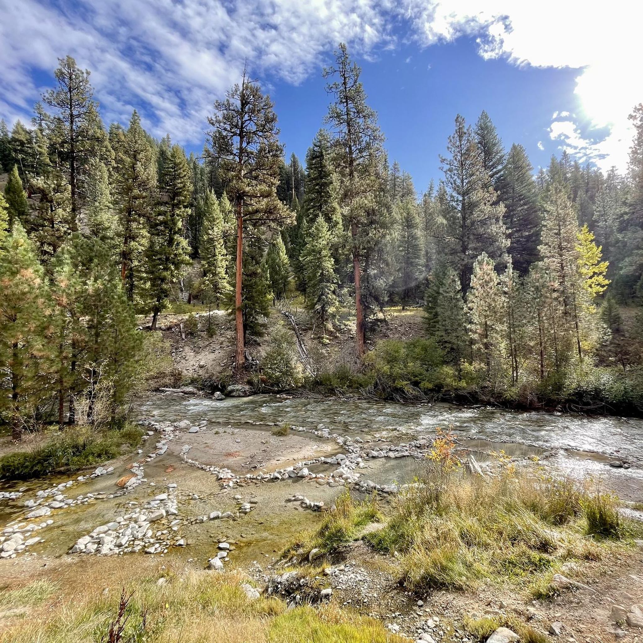
The Boise River is a 102-mile river that flows at elevations over 10,000 feet through the Sawtooth Mountain Range. It also flows through the city of Boise.
0
0
As the name suggests there is a nice sandy beach here. The water is shallow which keeps it warmer than other areas on the river. The park also has picnic areas, volleyball courts, and access to some hiking trails.
0
0

I like to use this to make a foothills figure eight with the classic dump loop
0
0
Frequently Asked Questions
What kind of terrain can I expect on road cycling routes in Boise National Forest?
Boise National Forest offers a diverse road cycling landscape. You'll find everything from flat, shaded paths along the Boise River Greenbelt to challenging climbs in the foothills and higher peaks. The terrain includes mountainous areas, dense pine forests, and river corridors, providing options for various skill levels.
Are there any easy, family-friendly road cycling routes in the area?
Yes, the Boise River Greenbelt – Sandy Point Beach loop from Peace Valley Overlook Reserve is an excellent choice. This 10.8-mile (17.5 km) route follows the scenic, car-free Boise River Greenbelt, offering an easy ride shaded by trees and access to city parks and amenities. Another easy option is the Boise River Greenbelt – Sandy Point Beach loop from Lucky Peak State Park.
Where can I find challenging road cycling climbs in Boise National Forest?
For those seeking a challenge, the Boise foothills offer routes with significant elevation gains. Local favorites include the Nice foothills climb – Hill Road Views loop from Ridge To Rivers Parking and the 36th Street Climb loop from Highlands. Additionally, Bogus Basin Road presents a substantial challenge with a 16-mile, 4,000-foot elevation climb to the Bogus Basin recreation area, rewarding cyclists with demanding ascents and exhilarating descents.
What are some notable landmarks or viewpoints I can see along road cycling routes?
Many routes offer access to stunning natural features. You can find scenic viewpoints like Stargaze Point and Emile Grandjean Viewpoint. The Bogus Basin Climb itself is a significant landmark. You might also encounter natural monuments such as Bonneville Hot Springs or Lucky Peak (Shaw Mountain), offering spectacular views.
Are there any long-distance or scenic byway road cycling opportunities?
Yes, Boise National Forest is home to several scenic byways that offer extensive road cycling opportunities. The Ponderosa Pine Scenic Byway, Payette River Scenic Byway, and Wildlife Canyon Scenic Byway provide routes through varied and breathtaking landscapes. The Banks-Lowman Loop, a 100-mile drive, combines panoramic beauty with opportunities to see wildlife and towering pine forests.
What is the best time of year for road cycling in Boise National Forest?
The diverse ecosystems mean conditions vary. Spring and summer bring flowering meadows and pleasant temperatures, ideal for most routes. However, higher elevation routes, like those around Bogus Basin, may be best in summer and early fall once snow has melted. Always check local weather conditions before heading out.
What do other road cyclists enjoy most about road cycling in Boise National Forest?
The area is highly rated by the komoot community, with an average score of 4.8 stars from over 10 reviews. Reviewers often praise the varied terrain, from the accessible Boise River Greenbelt to the challenging foothills climbs, and the stunning natural beauty of the mountains and dense forests.
Are there any circular road cycling routes available?
Yes, many routes in Boise National Forest are designed as loops. Examples include the Boise River Greenbelt – Sandy Point Beach loop from Peace Valley Overlook Reserve, the Nice foothills climb – Hill Road Views loop from Ridge To Rivers Parking, and the Nice foothills climb loop from Hidden Springs. These loops allow you to start and end at the same point, making logistics easier.
What amenities can I find near the road cycling routes?
The Boise River Greenbelt, being close to the city, offers access to numerous city parks, coffee shops, and restaurants. For routes deeper in the forest, amenities become scarcer, so it's advisable to carry sufficient water and snacks. Some areas might have campgrounds or facilities like Bonneville Campground.
How many road cycling routes are available in Boise National Forest?
There are over 20 road cycling routes available in Boise National Forest, catering to various skill levels. This includes 8 easy routes, 12 moderate routes, and 1 difficult route, ensuring options for everyone from beginners to advanced cyclists.
Are there any permits required for road cycling in Boise National Forest?
Generally, no specific permits are required for road cycling on established roads and byways within Boise National Forest. However, if you plan to access specific recreational areas or facilities, it's always a good idea to check with the local forest service for any current regulations or fees.
Can I find information about Boise's general cycling scene?
Boise is recognized as a top cycling town. For broader information on cycling opportunities in the area, including city-specific resources, you can visit visitboise.com.
Most popular routes in Boise National Forest
Most popular attractions in Boise National Forest

Get inspired with the komoot mobile app


Explore more
Browse the best Road cycling routes in other regions.
