Top 20 Mountain Passes in Humboldt-Toiyabe National Forest
Best mountain passes in Humboldt-Toiyabe National Forest traverse over 6 million acres across Nevada and eastern California. This vast area features diverse landscapes, including high-elevation routes and access to wilderness areas. The passes offer access to alpine lakes, granite cliffs, and extensive trail networks. These routes provide opportunities for exploring the Sierra Nevada and Ruby Mountains.
Best mountain passes in Humboldt-Toiyabe National Forest
- The most popular mountain passes is PCT Trailhead, Carson Pass, a trail and mountain pass with…
Last updated: September 29, 2026
PCT Trailhead, Carson Pass
Highlight • Trail
Tip by

Sonora Pass Trailhead at PCT
Highlight • Trail
Tip by

Sign up now to discover places like this
Get recommendations on the best single tracks, peaks, & plenty of other exciting outdoor places.
Mt Rose Summit Plaza - Tahoe Rim Trailhead
Highlight • Parking
Tip by
Pacific Crest Trail at Ebbetts Pass
Highlight (Segment) • Trail
Tip by

Ebbets Pass
Highlight • Mountain Pass
Tip by
Sign up for free to discover even more mountain passes in Humboldt-Toiyabe National Forest.
Already have an account?
Start today with a free account
Your next adventure awaits.
Popular around Humboldt-Toiyabe National Forest

American Discovery Trail — Walking from sea to shining sea

The tour of your life – music trails on the Pacific coast
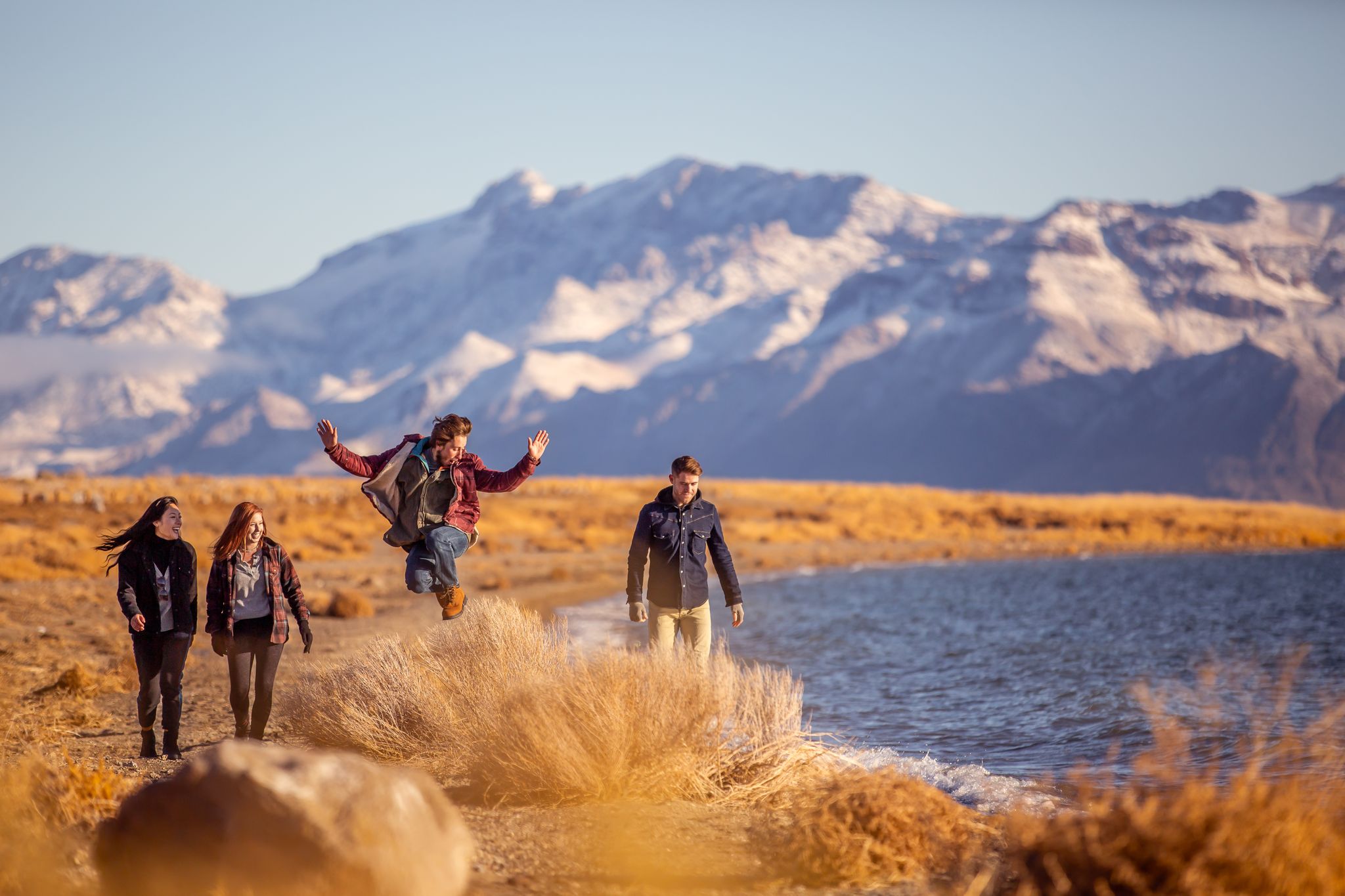
Basecamp Nevada – hiking Tours in the Silver State
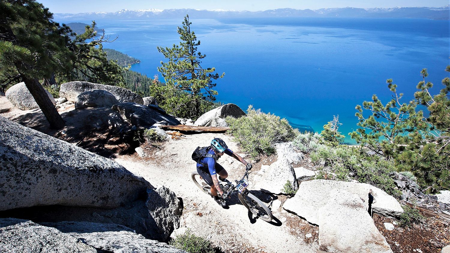
Rocky trails and magical views – MTB Tours in Nevada

Circumnavigating Lake Tahoe in the Sierra Nevada – Tahoe Rim Trail

Unforgettable MTB Adventures – IMBA Epic Trails in USA and Canada
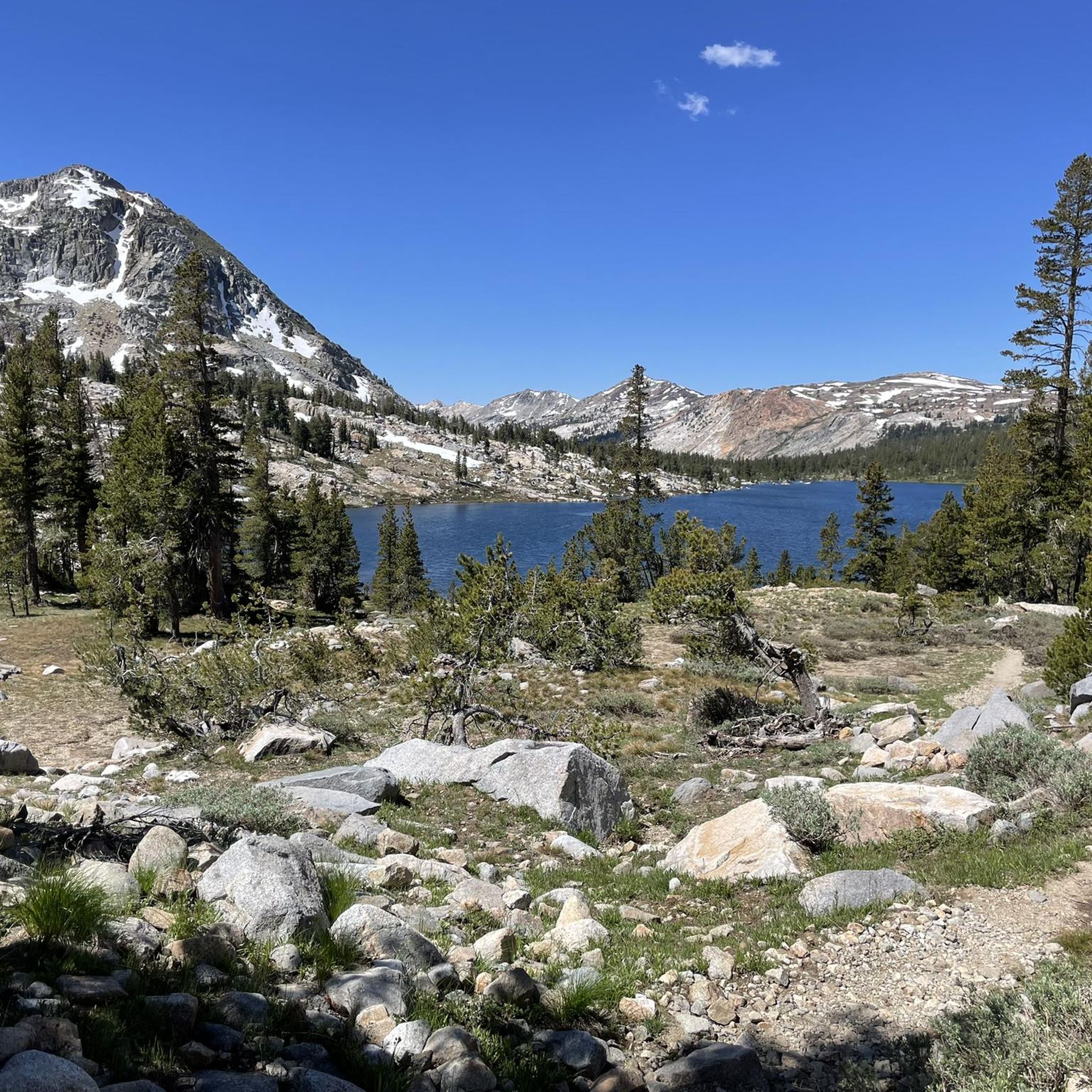
Hiking in Humboldt-Toiyabe National Forest
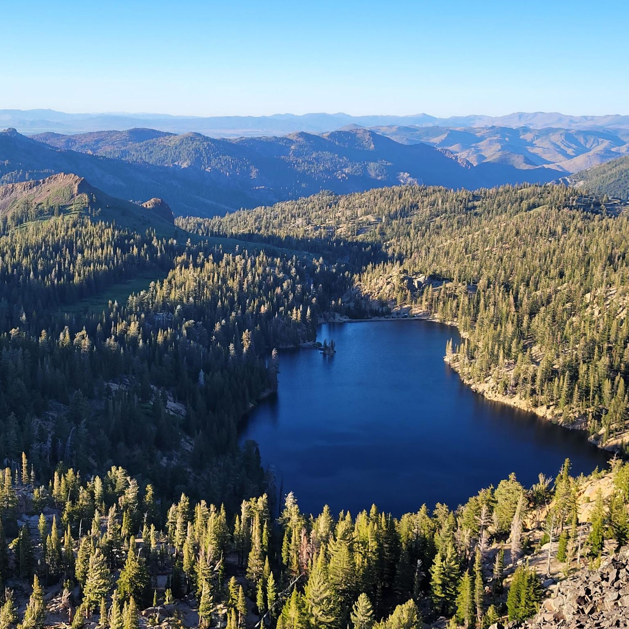
Road Cycling Routes in Humboldt-Toiyabe National Forest
MTB Trails in Humboldt-Toiyabe National Forest
Running Trails in Humboldt-Toiyabe National Forest
Other adventures in Humboldt-Toiyabe National Forest


Tips from the Community

Fantastic information station with nice and knowledgeable volunteer staff. They have food and drinks ready for through hikers as well as free device charging.
0
0

Ebbetts Pass is one of the first roads you will cross after you left the Sierras at Sonora Pass. If you are lucky, there might be some trail angels around.
3
0

The fantastic 2,650-mile long trail that is the Pacific Crest Trail crosses Highway 4 just east of Ebbetts Pass. Here you are well into alpine country. This trail enters the Carson-Iceberg Wilderness and climbs about four miles to Noble Lake and onwards. The views of Noble Canyon and Highland Peak are spectacular.
1
1
At 8,700 feet, Ebbetts Pass is a spectacular high mountain pass that is the fulcrum point between two state parks namely Calaveras Big Trees and Grover Hot Springs. It is also a cross over point for the Pacific Crest Trail. It sits just below imposing Ebbetts Peak at 9,160 feet which is just a short easy hike away.
0
0
Ebbetts Pass is one of the first roads you will cross after you left the Sierras at Sonora Pass. If you are lucky, there might be some trail angels around. The pass is also a historic place: Jedediah Smith, the legendary pioneer crossed the Sierra Nevada over Ebbetts Pass.
4
0
At Carson Pass you will find an information center with a small shop and some benches. Pit toilets are also available. If you are lucky, there might be some trail magic.
5
2
Sonora Pass is a significant location on the Pacific Crest Trail since it kind of marks the end of the Sierras if you hike northbound. A new section of trail into Northern California begins. If you hike southbound, it is the entrance into the stunning scenery of Yosemite and the rest of the Sierra Nevada. Your best resupply option is to hitch around ten miles into Kennedy Meadows North, which most thruhikers do. The store there is small, but they have all the hiker necessities. They also have a good hiker box, hiker showers, hiker laundry, and a decent restaurant.
6
0
The Sonora Pass is a historic mountain pass dating back to 1865. The Pacific Crest Trail crosses here.
4
0
Frequently Asked Questions
What are some of the most popular mountain passes in the Humboldt-Toiyabe National Forest?
Among the most popular passes are PCT Trailhead, Carson Pass, known for its access to the Pacific Crest Trail and winter sports, and Sonora Pass Trailhead at PCT, a significant historical site and entry point to the Sierra Nevada. Visitors also highly rate Pacific Crest Trail at Ebbetts Pass for its spectacular alpine views.
What kind of terrain and elevation can I expect at these mountain passes?
The passes in Humboldt-Toiyabe National Forest offer diverse terrain, from glacier-carved canyons to rugged Sierra Nevada peaks. Elevations vary significantly; for instance, Carson Pass is at 8,574 feet, Sonora Pass at approximately 9,620 feet, and Mount Rose Summit reaches 10,785 feet. Kavanaugh Ridge, a challenging 4x4 area, exceeds 11,000 feet, providing sweeping views.
What natural features and viewpoints can I discover at the mountain passes?
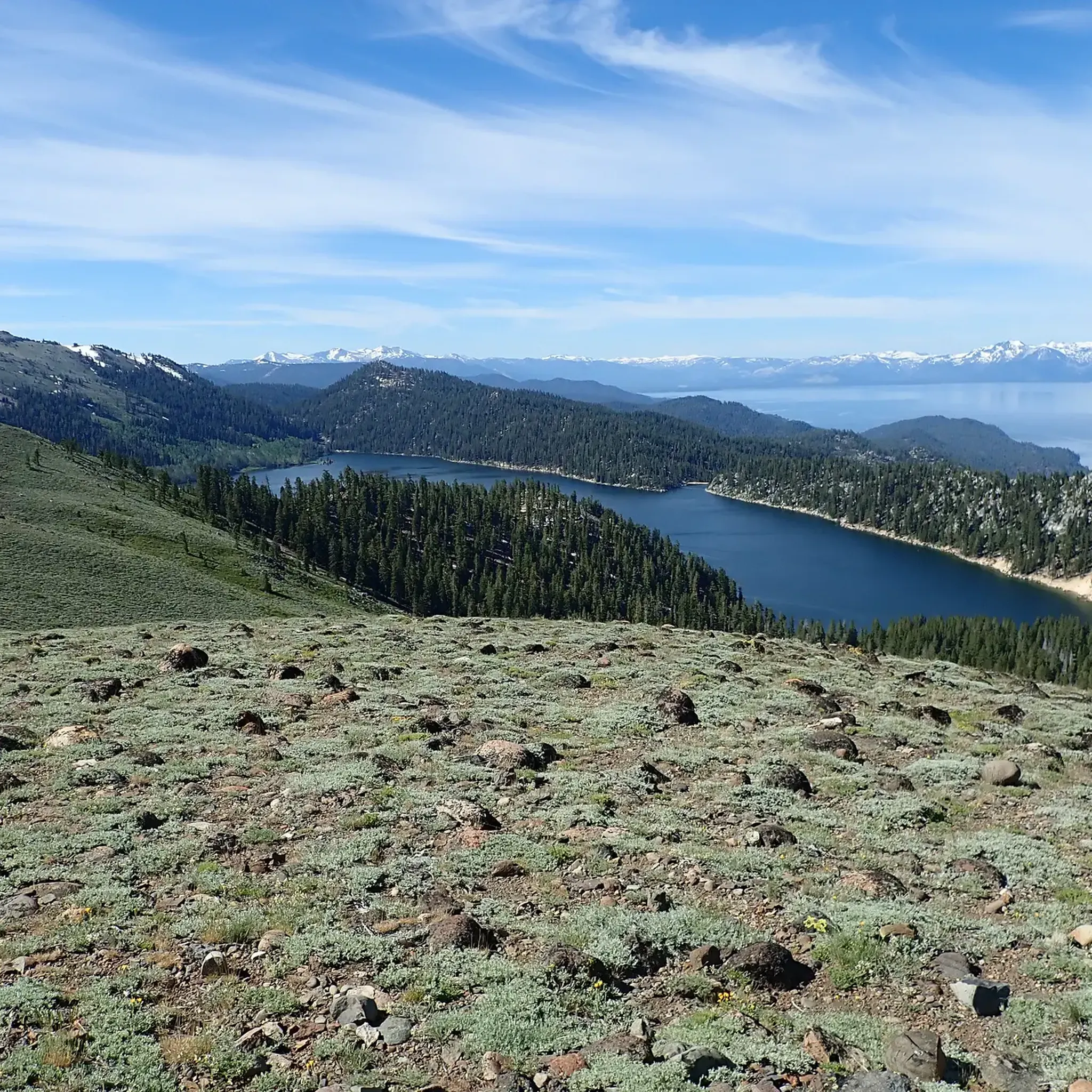
You can find breathtaking natural features such as the towering granite cliffs and alpine lakes of Lamoille Canyon, often called the 'Yosemite of Nevada.' Mount Rose Summit offers panoramic views of Lake Tahoe and the Truckee Meadows. Sonora Pass provides eastward views into Mono County, while Ebbetts Pass boasts views of Noble Canyon and Highland Peak. Kavanaugh Ridge offers vistas of numerous alpine lakes within the Hoover Wilderness.
When is the best time to visit the mountain passes in Humboldt-Toiyabe National Forest?
The best time to visit most passes for hiking and scenic drives is generally from May through October, depending on snow conditions. Lamoille Canyon Scenic Byway is typically accessible during this period. High-elevation passes like Sonora Pass and Ebbetts Pass often experience road closures due to heavy snow from November to May. However, Carson Pass maintains winter access via a snopark, making it a popular spot for snow sports.
Are there family-friendly options among the mountain passes?
Yes, Mt Rose Summit Plaza - Tahoe Rim Trailhead is noted as family-friendly, offering a large parking area and restrooms. Many areas around the passes provide easier trails suitable for families, especially during the summer months when conditions are mild.
What outdoor activities can I do near the mountain passes?
The region around the mountain passes is excellent for various outdoor activities. You can find numerous options for hiking, including sections of the Pacific Crest Trail and Tahoe Rim Trail. Cycling and gravel biking are also popular, with routes like the Tahoe-Pyramid Bikeway and the Capital to Tahoe Trail. In winter, snowshoeing and backcountry skiing are common, particularly in areas like Lamoille Canyon and Carson Pass.
Are there historical sites or cultural landmarks at these passes?
Yes, several passes have historical significance. Sonora Pass Trailhead at PCT is a historic site dating back to 1865. Ebbetts Pass is also a historic place, notably crossed by pioneer Jedediah Smith. These passes often served as crucial routes for early explorers and settlers.
What are the options for parking and facilities at the mountain passes?
Many passes offer parking and basic facilities. For example, PCT Trailhead, Carson Pass has a parking area with pit toilets and a seasonal information center. Mt Rose Summit Plaza - Tahoe Rim Trailhead also provides a large parking area with restrooms. Some winter access points, like the snopark at Carson Pass, may require permits for overnight parking.
Can I bring my dog to the trails around the mountain passes?
While many areas within the Humboldt-Toiyabe National Forest are dog-friendly, specific regulations can vary by wilderness area or trail. It's always best to check local signage or the forest service website for the most current rules regarding pets, especially concerning leash requirements and waste disposal, to ensure a pleasant experience for everyone and protect wildlife.
What makes Lamoille Canyon Scenic Byway unique?
The Lamoille Canyon Scenic Byway, often called the 'Yosemite of Nevada,' is unique for its dramatic glacier-carved scenery within the Ruby Mountains. This 12-mile paved byway features towering granite cliffs, alpine lakes, wildflower meadows, and cascading waterfalls. It's a hub for hiking, backpacking, and fishing in summer, and transforms into a popular spot for snowshoeing and backcountry skiing in winter.
Are there any remote or challenging passes for experienced adventurers?
Yes, Kavanaugh Ridge is a significant high-elevation area accessible via a challenging 4x4 trail. Reaching over 11,000 feet, it offers incredible views into the Hoover Wilderness and is ideal for experienced off-road enthusiasts seeking remote, untrammeled natural beauty and solitude.
What do visitors enjoy most about the mountain passes in Humboldt-Toiyabe National Forest?
Visitors frequently highlight the stunning high-elevation scenery, the extensive network of trails for hiking and other outdoor activities, and the sense of wilderness and solitude. The dramatic glacier-carved landscapes, panoramic views of Lake Tahoe, and access to the Pacific Crest Trail are often mentioned as favorite aspects.
Most popular routes in Humboldt-Toiyabe National Forest
Most popular attractions in Humboldt-Toiyabe National Forest

Get inspired with the komoot mobile app


Explore more
See even more epic mountain passes by checking out these guides in Humboldt-Toiyabe National Forest:
